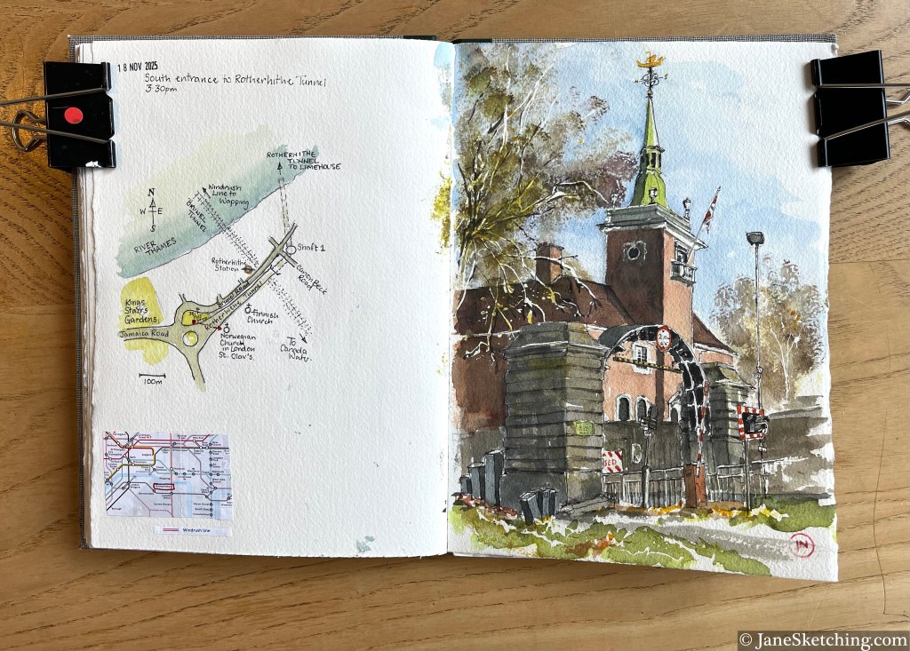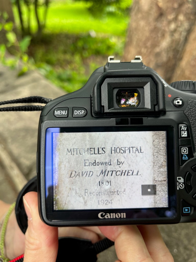
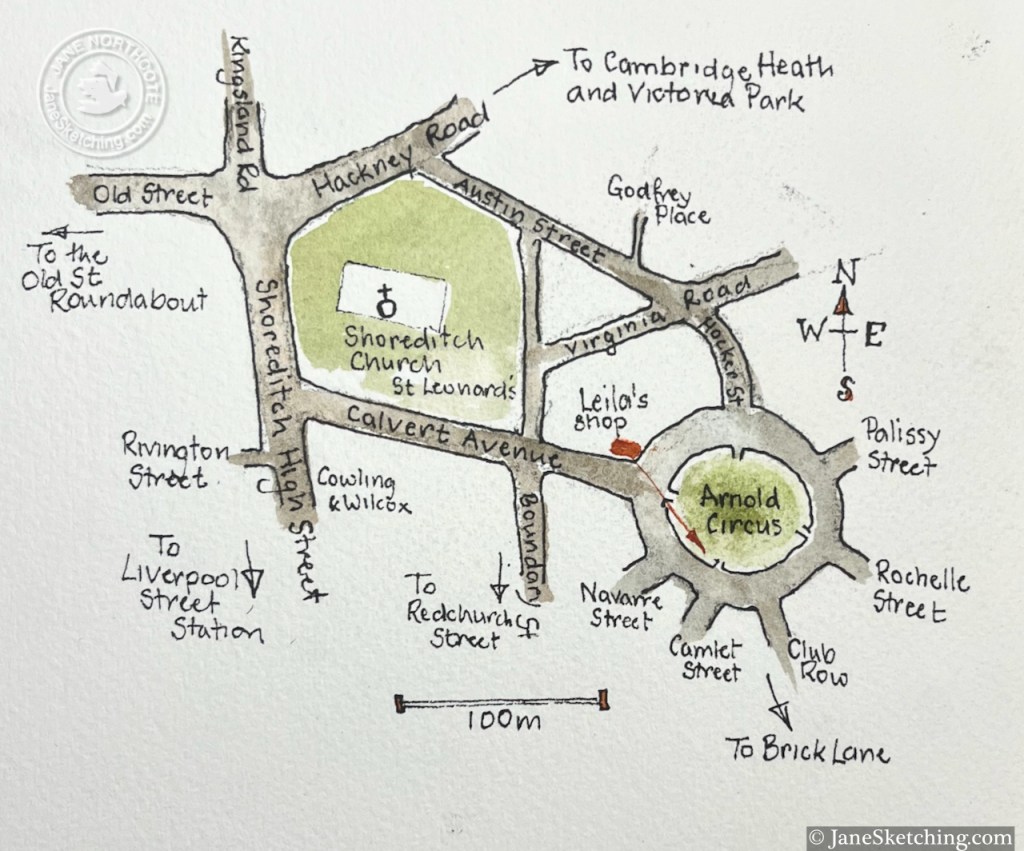
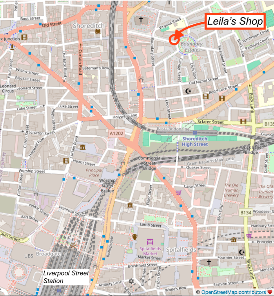
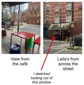
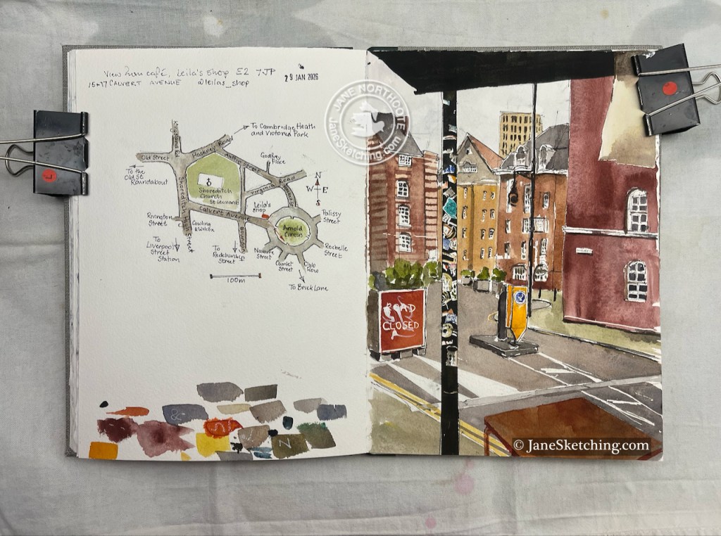
On a very cold day in January I stopped for lunch in Leila’s shop in Calvert Avenue. My table at the window offered a view along a tangent of Arnold Circus.

I enjoyed all the lines and curves, and the hundreds of notices stuck to the lamppost, and the trees in boxes, and the transitional feel of this area, between the City and Hackney, between the trendy shops of Redchurch Street and the social housing of the Boundary Estate.
Then lunch arrived, which was a kind of a goulash and very good.
The woman serving said “It’s so cold, I’m offering cups of hot water. Would you like one?”. This was a good idea. She placed the cup of hot water in amongst my drawing things, and the plate of goulash, on the table. They are very tolerant and understanding in this café.
Next door is the deli of the same name, where I procured a slice of malt loaf to sustain me on my walk. I’d eaten it before I reached the other side of Arnold Circus.
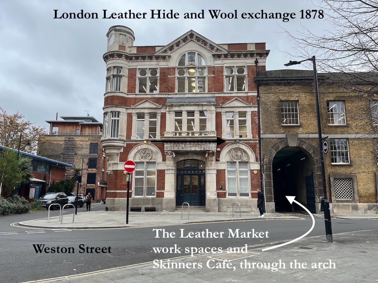
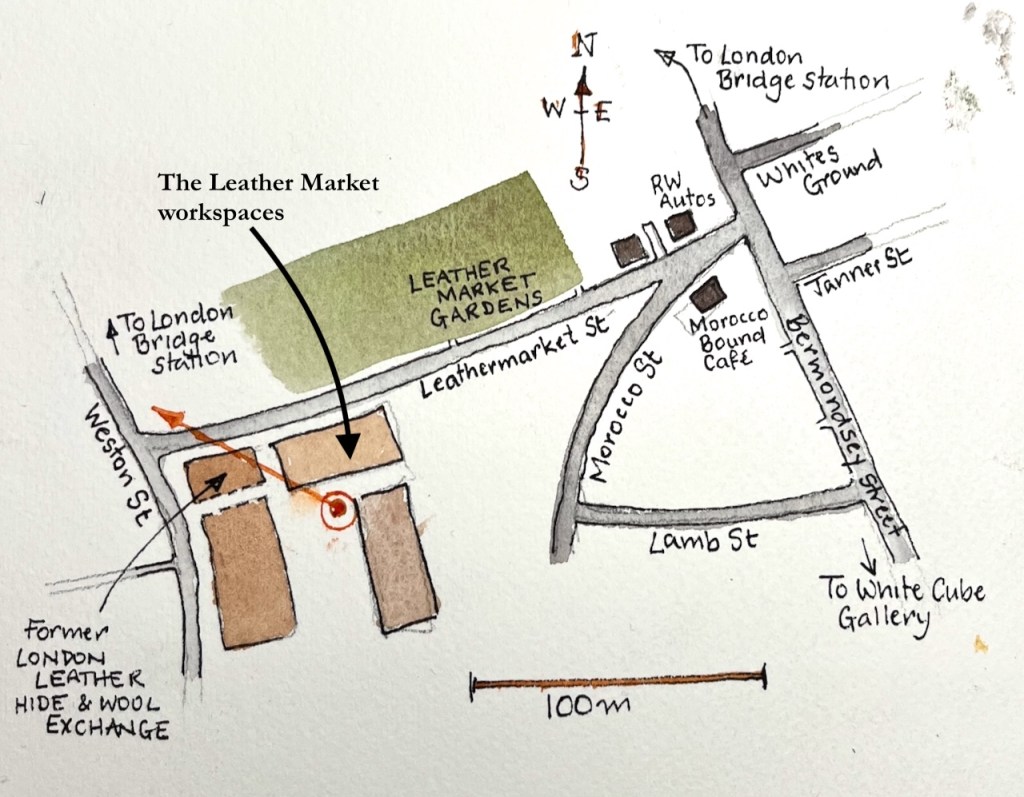
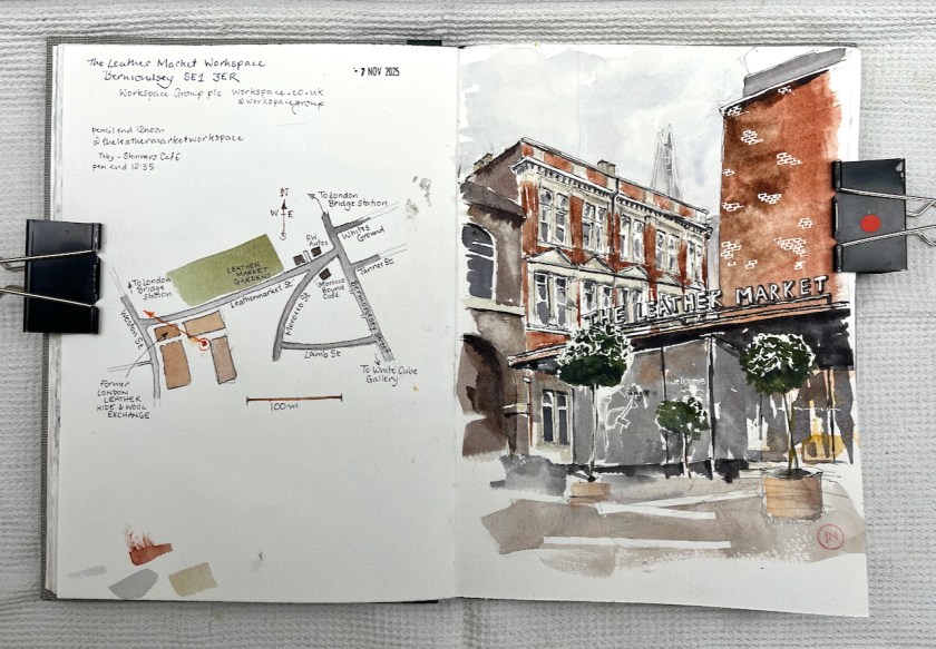
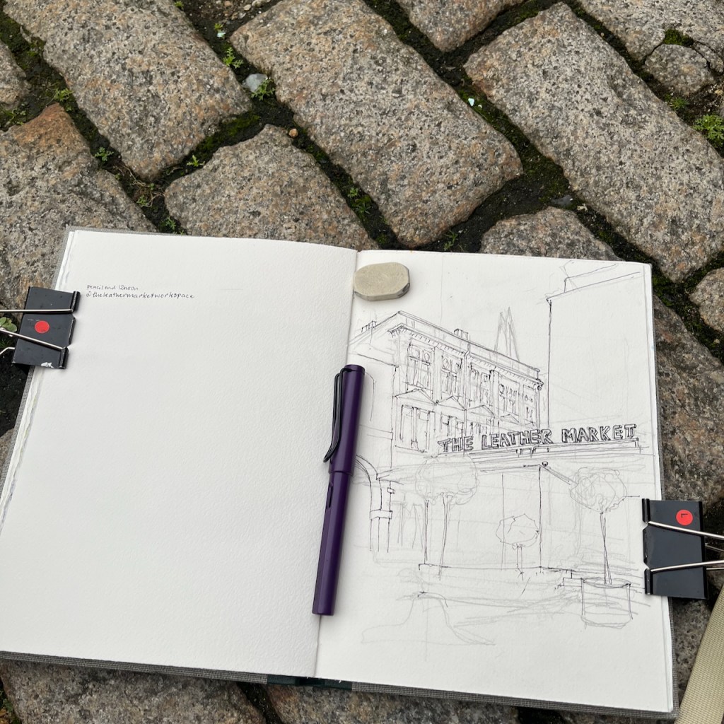
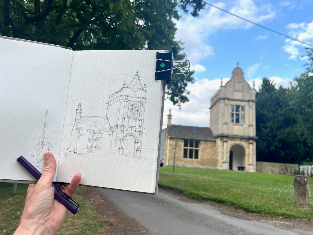
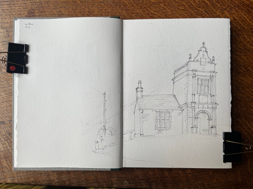
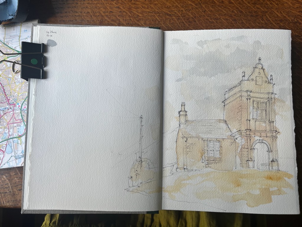
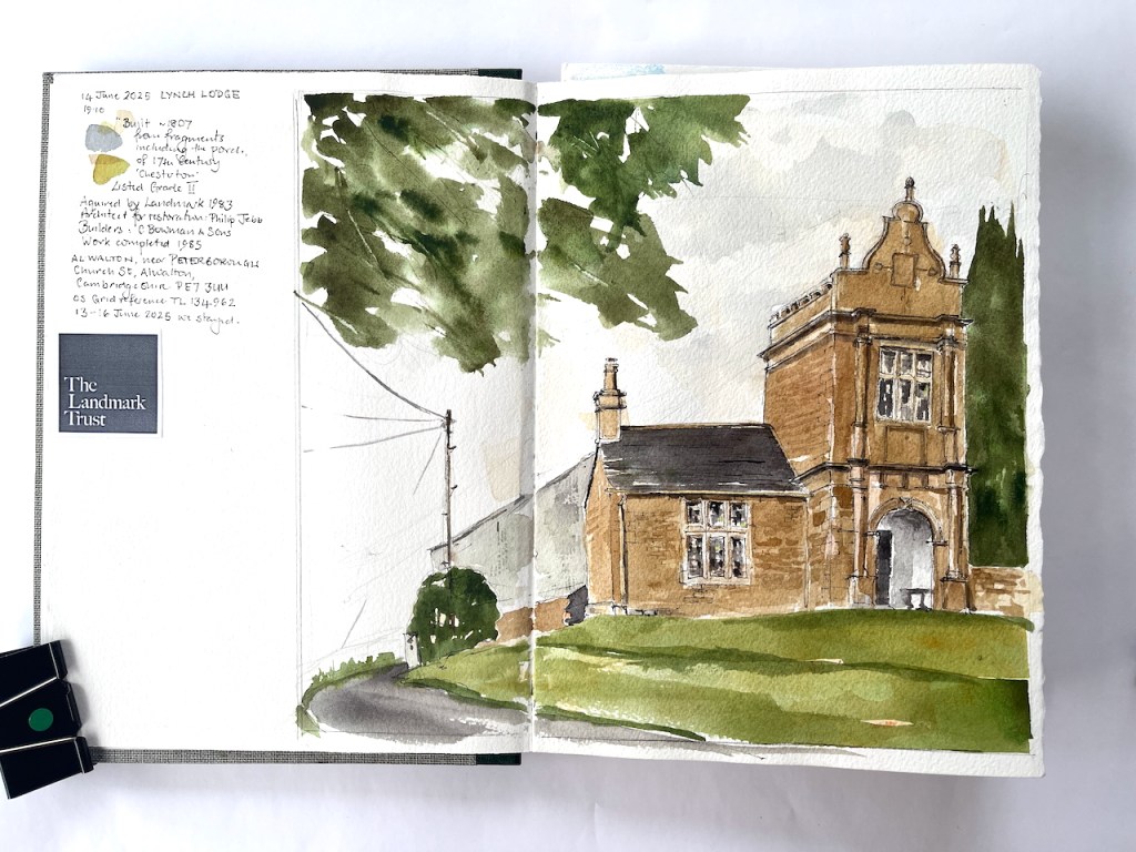
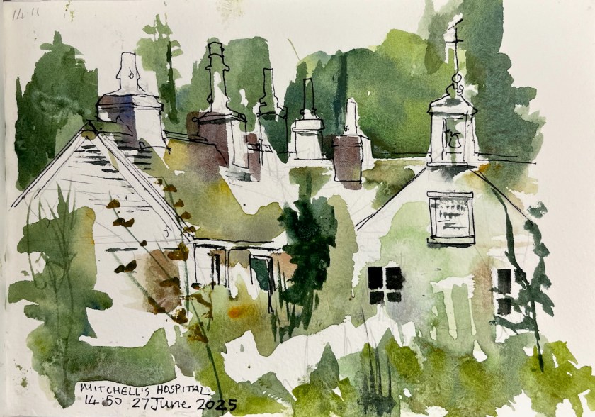
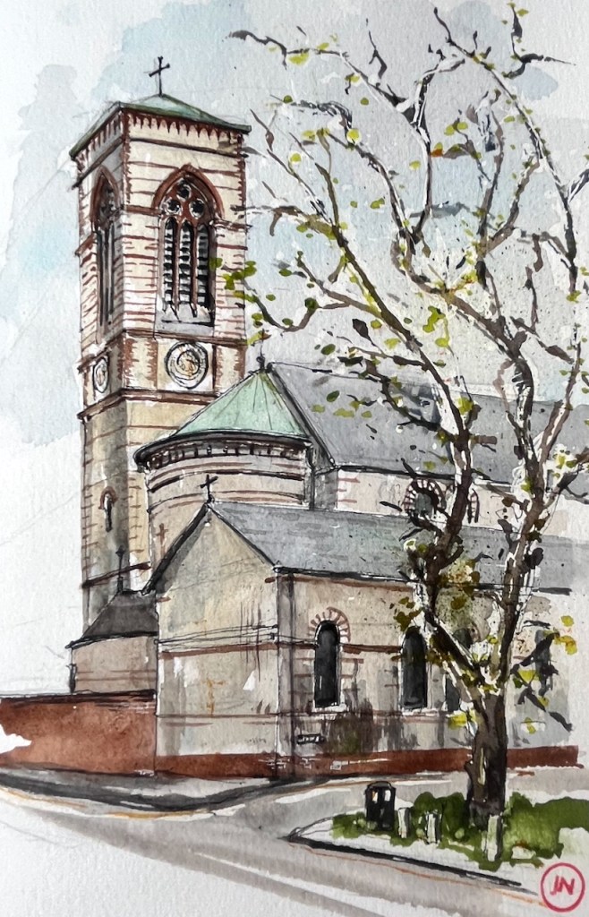
I’ve sketched in this area before:

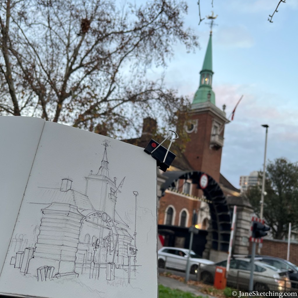
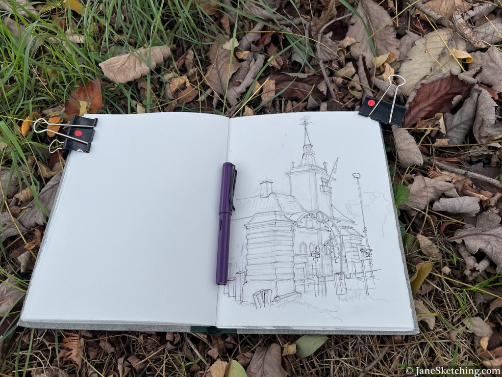
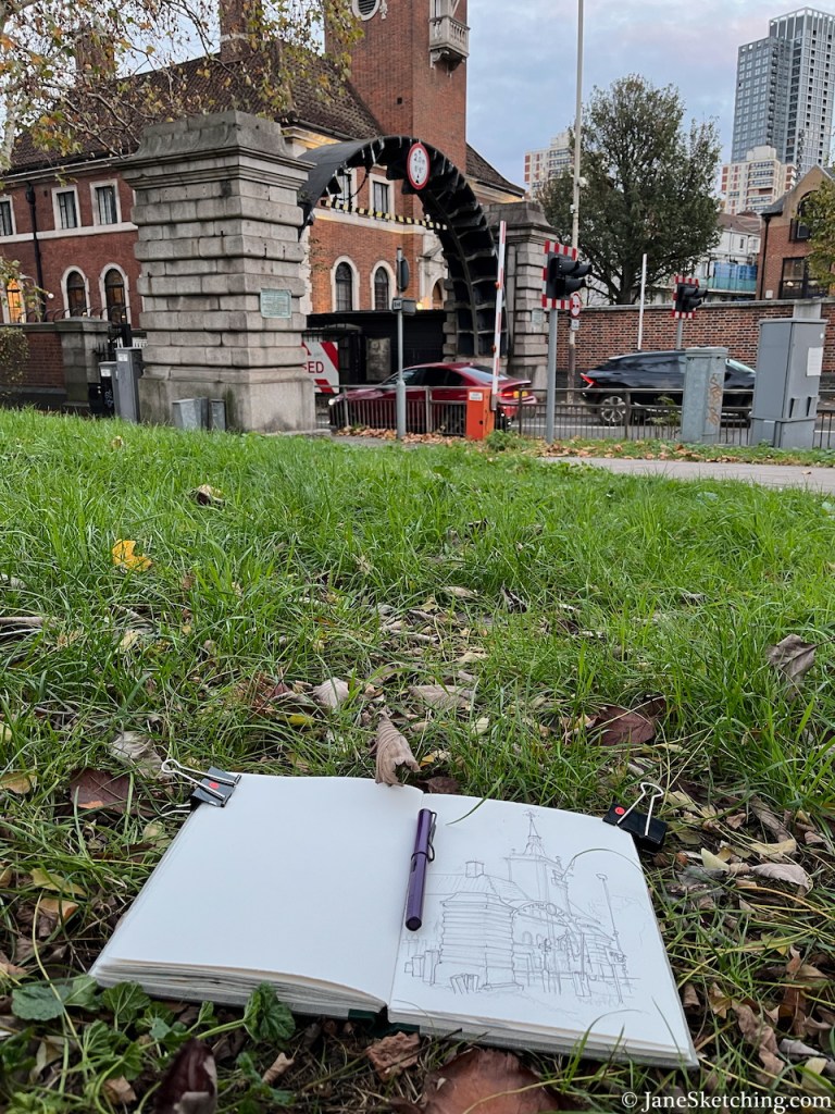
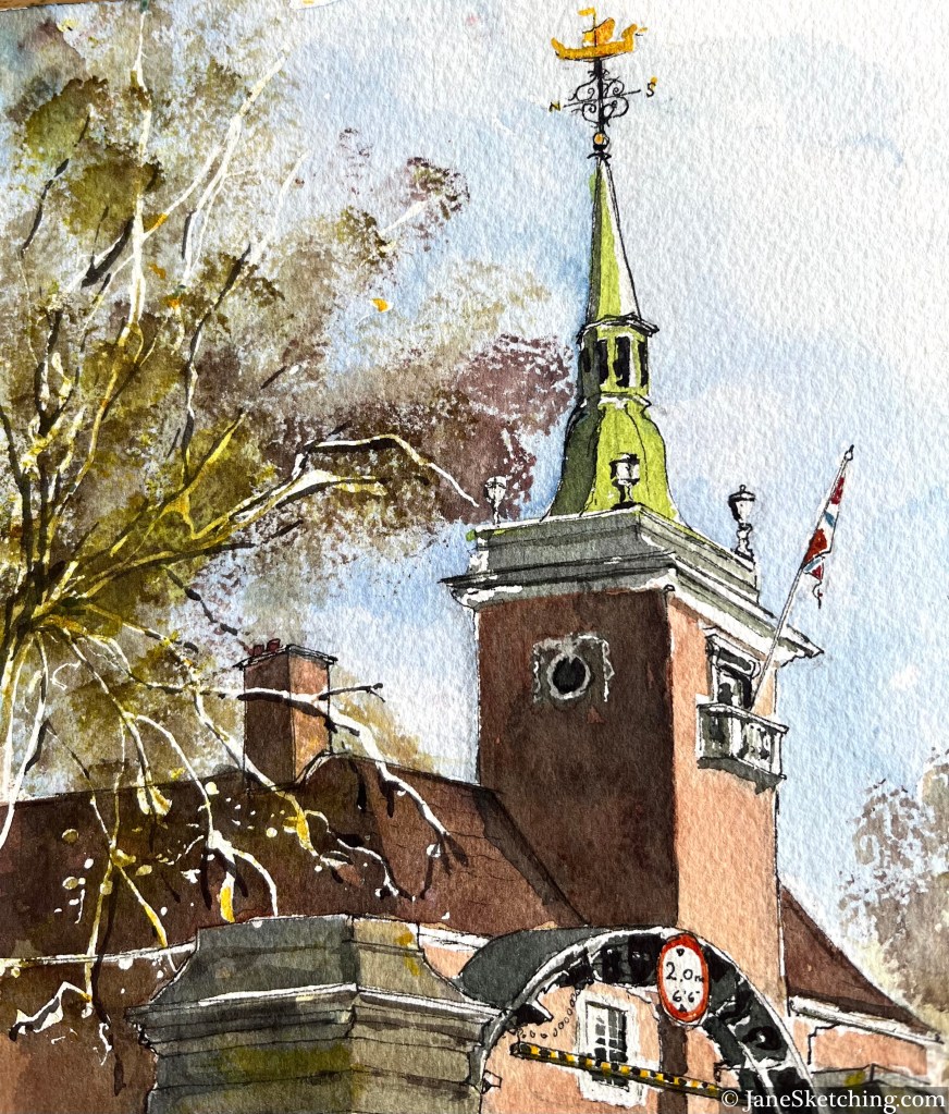
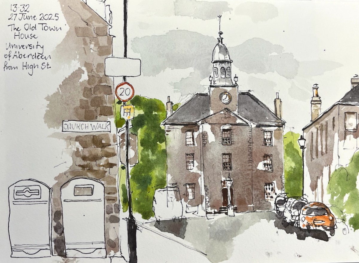
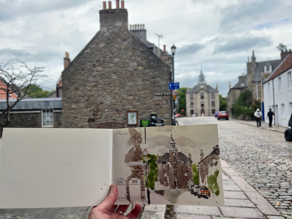
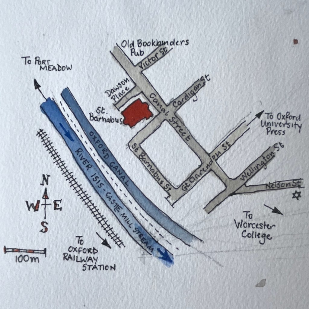
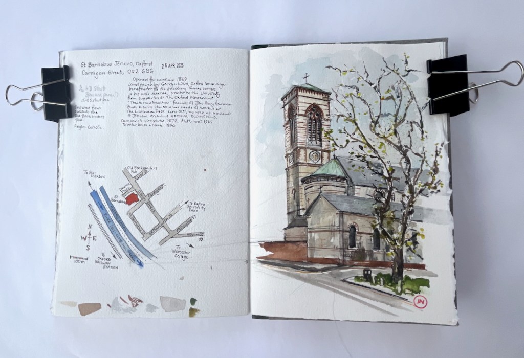
Shoreditch Church: St Leonard E1
Here is St Leonard Shoreditch, which stands at the intersection of Shoreditch High St and the Hackney Road, postcode E1 6JN. There has been a Christian church here since medieval times. The present building dates from 1741 and was designed by George Dance the Elder (1695-1768). George Dance the Elder was the City of London surveyor at the time, and designed, amongst other buildings, Mansion House at Bank Junction. The current church is active in the community. On the day I was sketching, a Thursday, they were offering meals to local people. This is the Lighthouse Project, “providing practical help,…
Keep reading
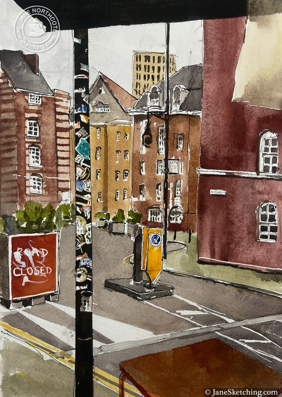
Shiplake House, Arnold Circus
This is the “Boundary Estate”, Britain’s first council estate, opened in 1900. It was built to the design of Owen Fleming and his team. Fleming was a member of the Housing of the Working Classes branch of the LCC’s* Architecture department. He was 26 years old. The aim of Boundary Estate project was to replace slums, in an area of disease, want, squalor and crime known as “Old Nicol”. The slums were pulled down, and replaced by dwellings that were more healthy, and more pleasant to live in. The area was also provided with schools, a laundry, shops and clubrooms.…
Keep reading
67 Redchurch Street E2, “Jolene” bakery
Jolene bakery is on the corner of Redchurch Street and Club Row. This is a lively corner in a street on various edges: on the edge of the City, at the boundary between a new London and an old one, at the intersection of 21st century entrepreneurial culture and 19th century housing projects. Redchurch Street is just North and West of Brick Lane. There are restaurants, independent clothes designers, hairdressers, and various 21st century businesses I couldn’t identify but categorised in my mind as broadly “creative”. It’s a good place to walk around, and Jolene is a great place to…
Keep reading
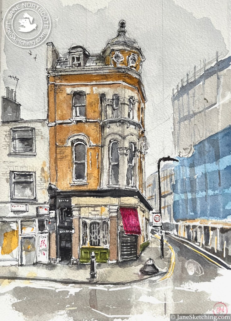
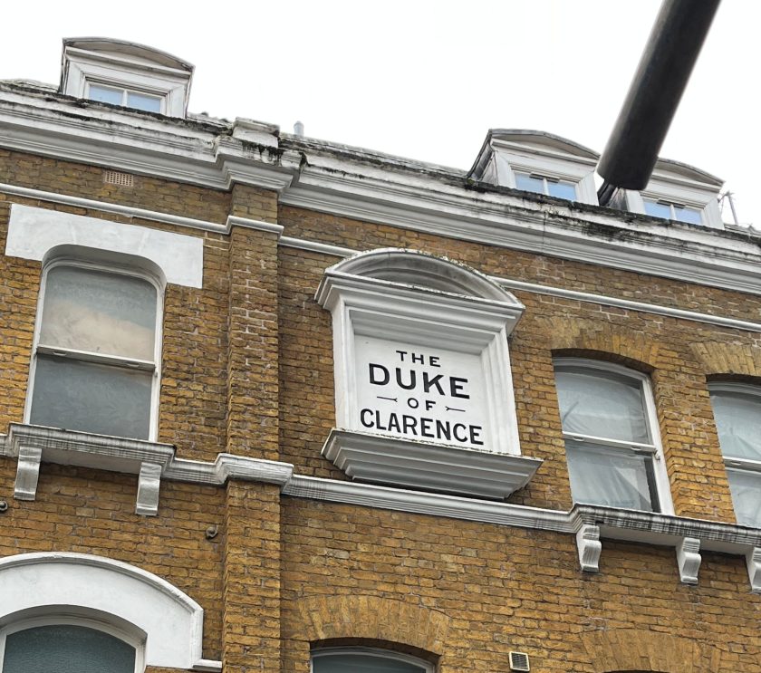
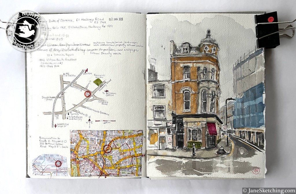
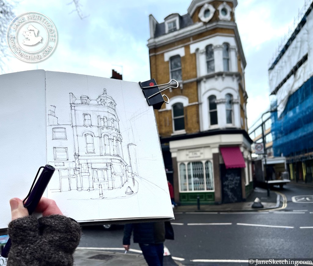
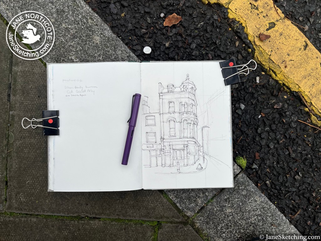
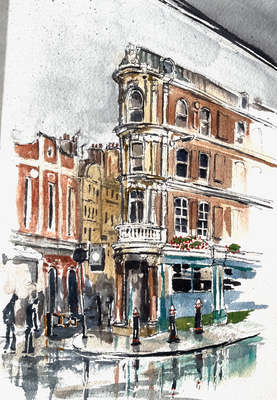
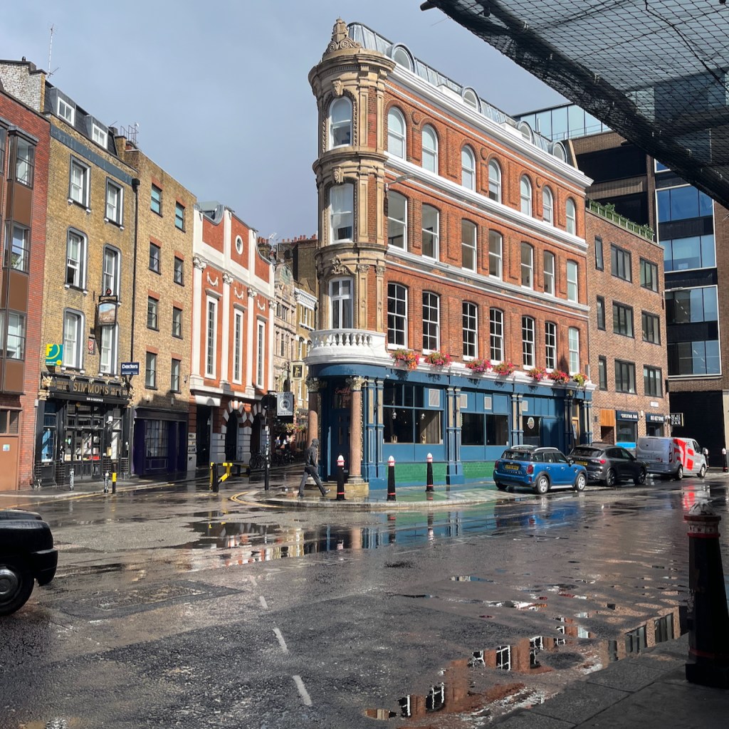
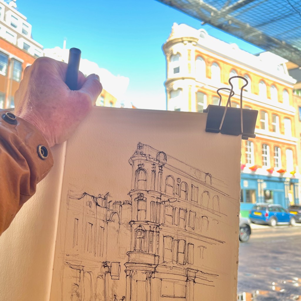
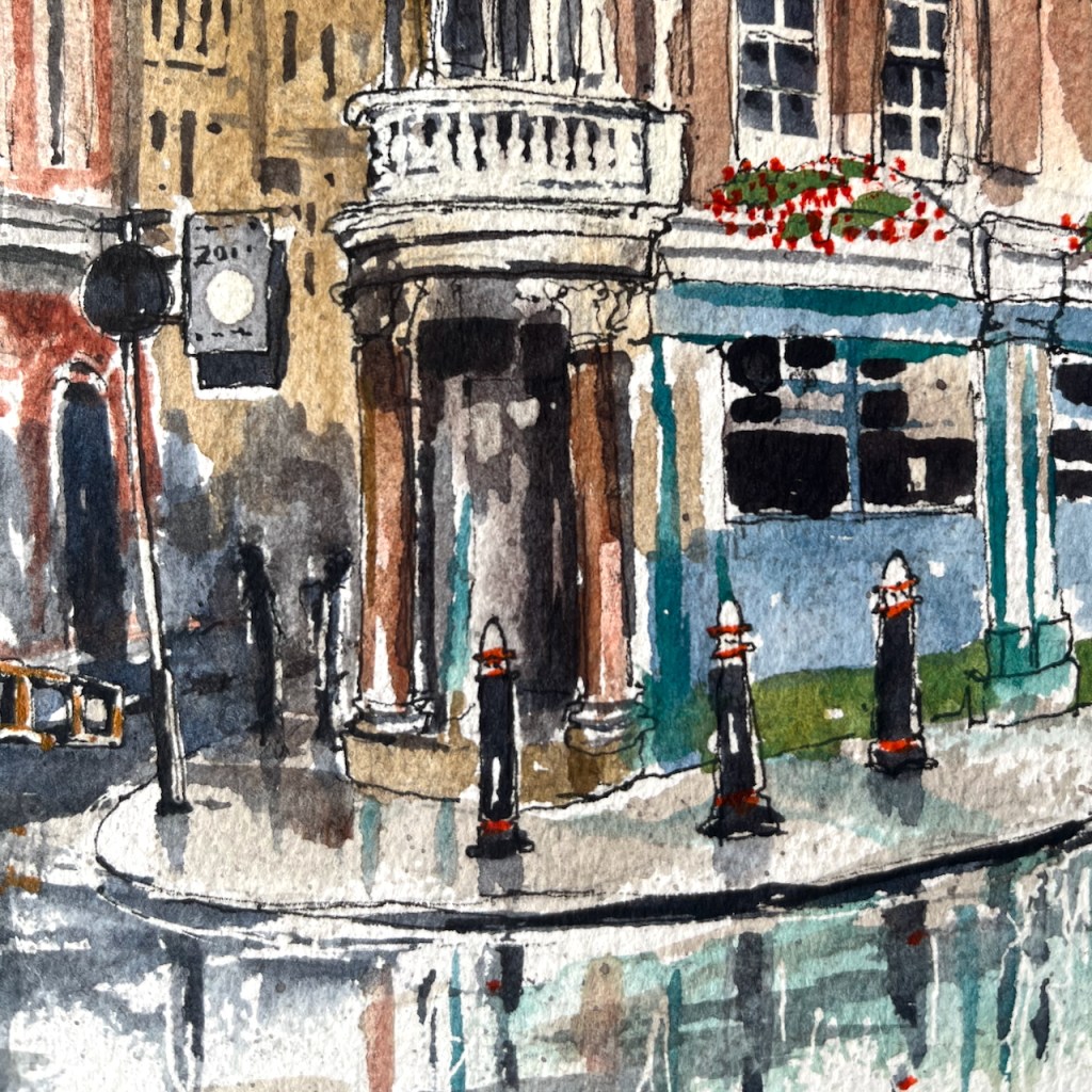
61 Hackney Road, E2
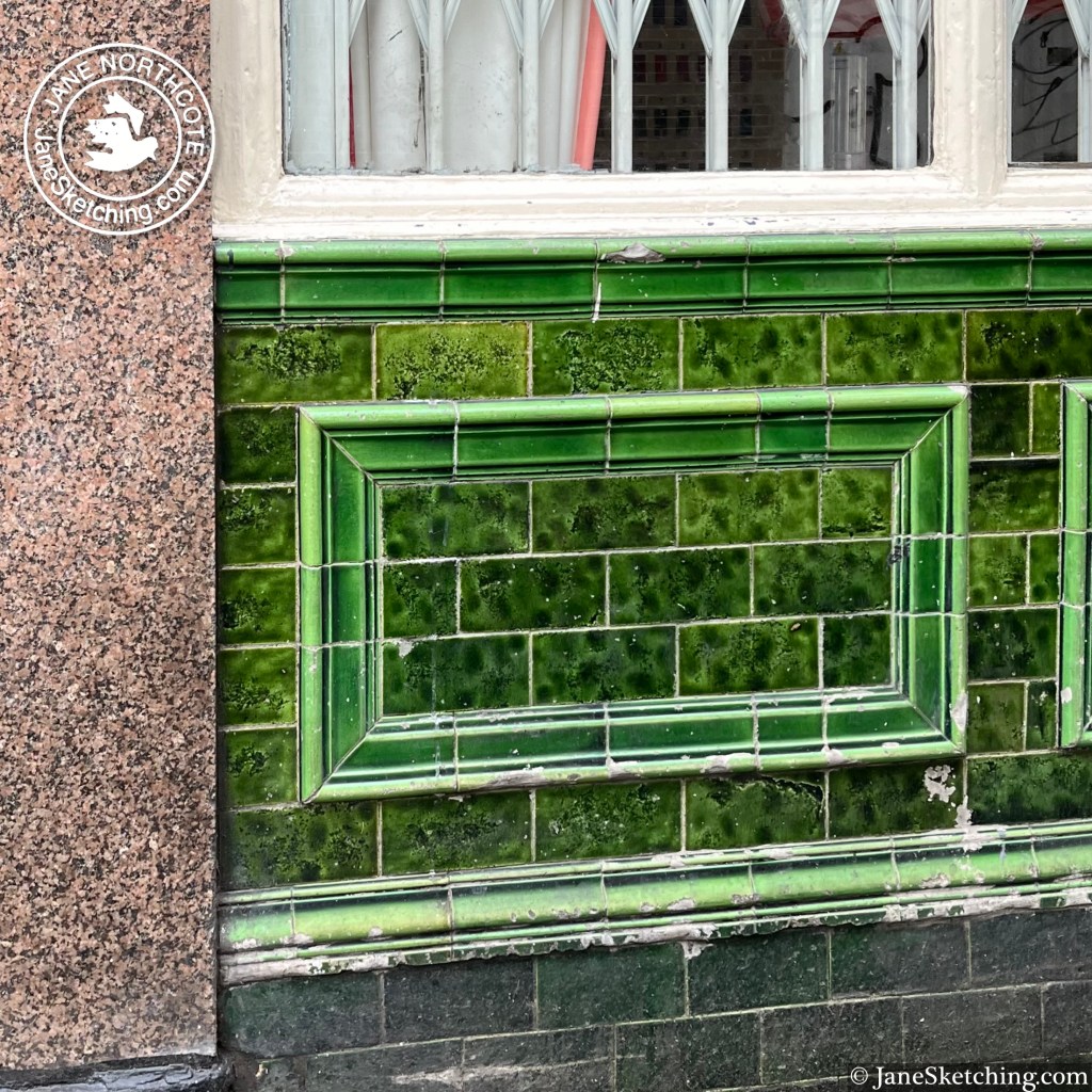
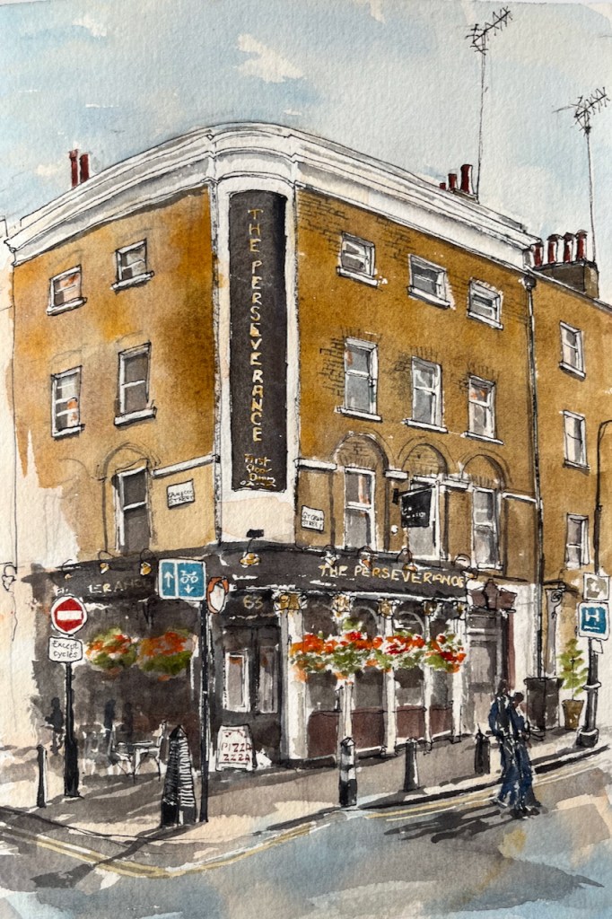
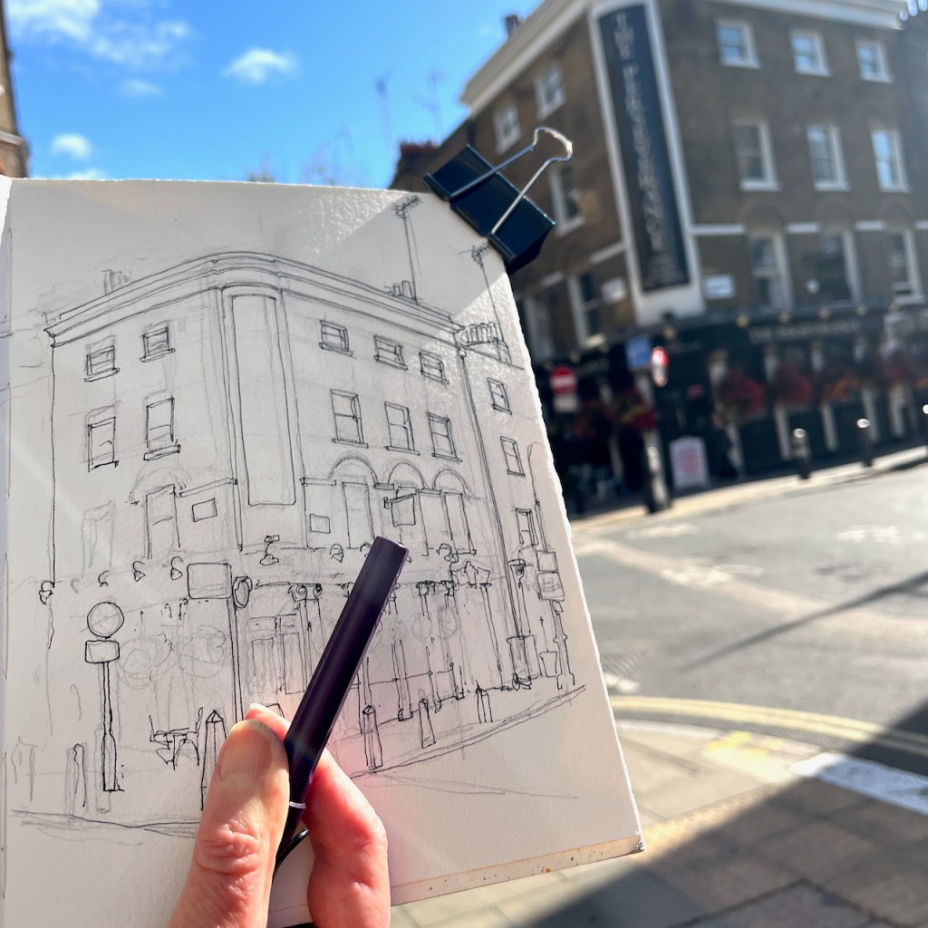
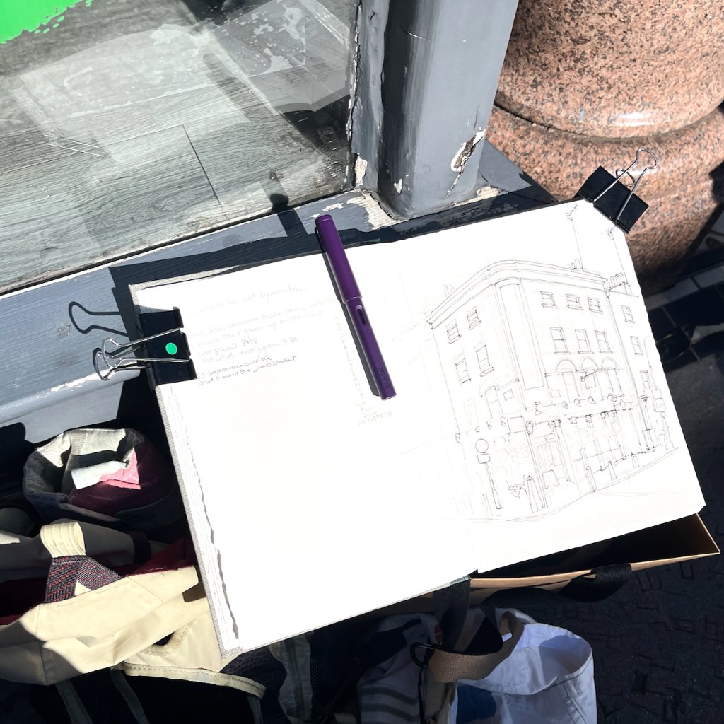
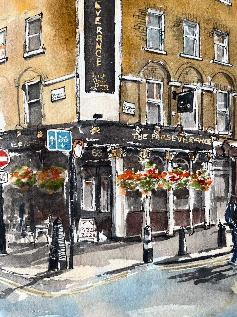
Along the Hackney Road stands this building with a turret: This on the corner of Waterson Street and Hackney Road, at the western end of Columbia Road. After I’d sketched it, I walked into the picture, and had a look at the building from the Waterson Street side. It was a pub called the Duke of Clarence. There is deep green tiling, characteristic of 19th century London pubs. It was listed in the London Street Directory of 1940 as a pub. Other online references have it trading from 1802 up to 1944. For many decades it’s had retail premises on…
Keep reading