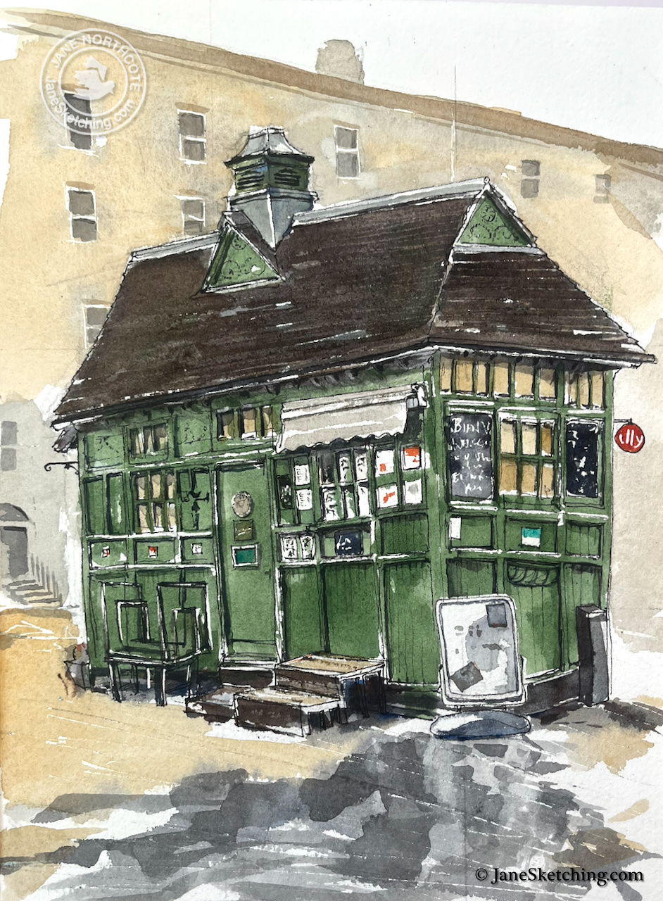
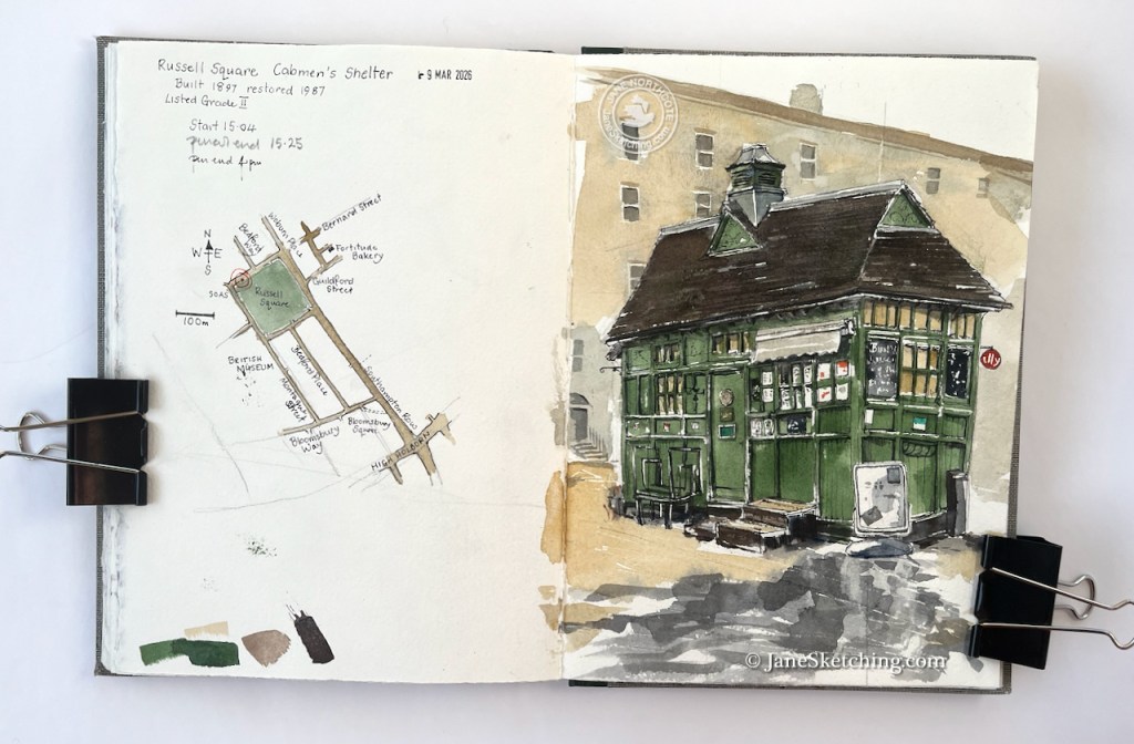
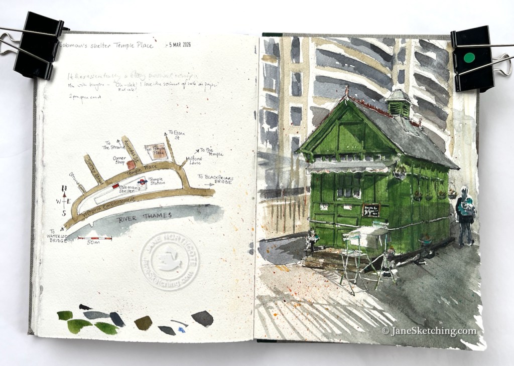
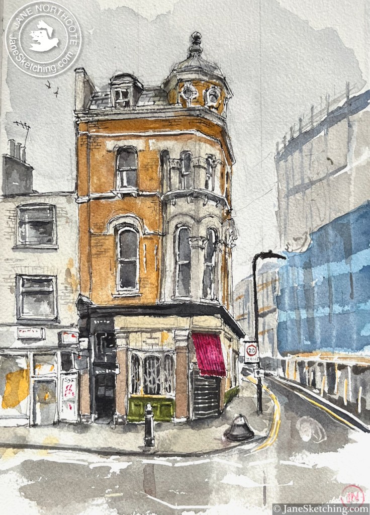
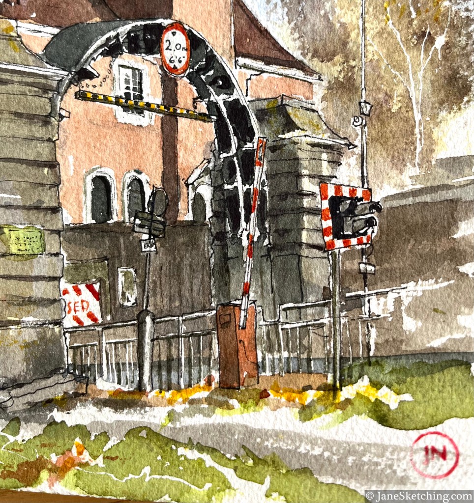
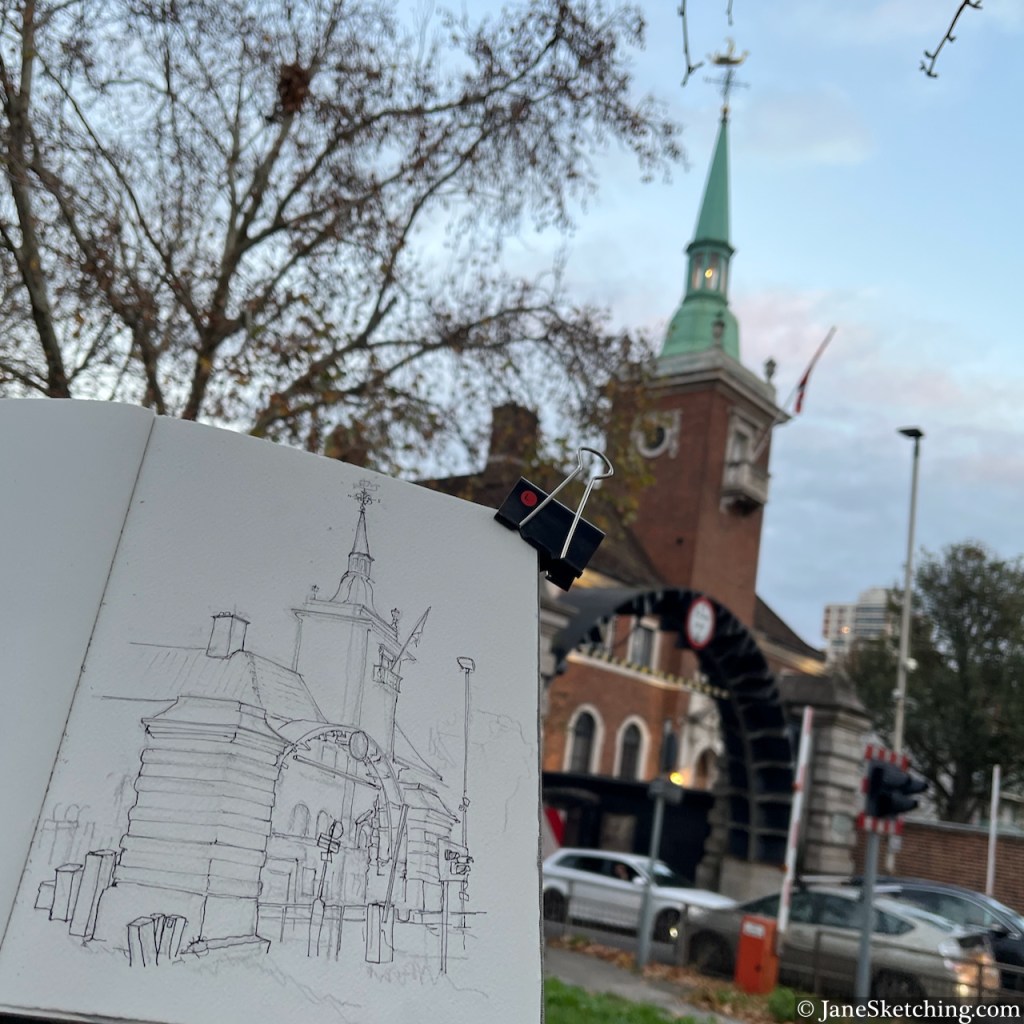
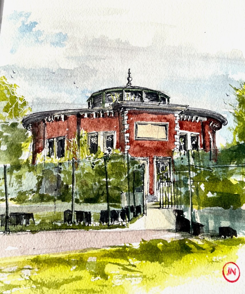
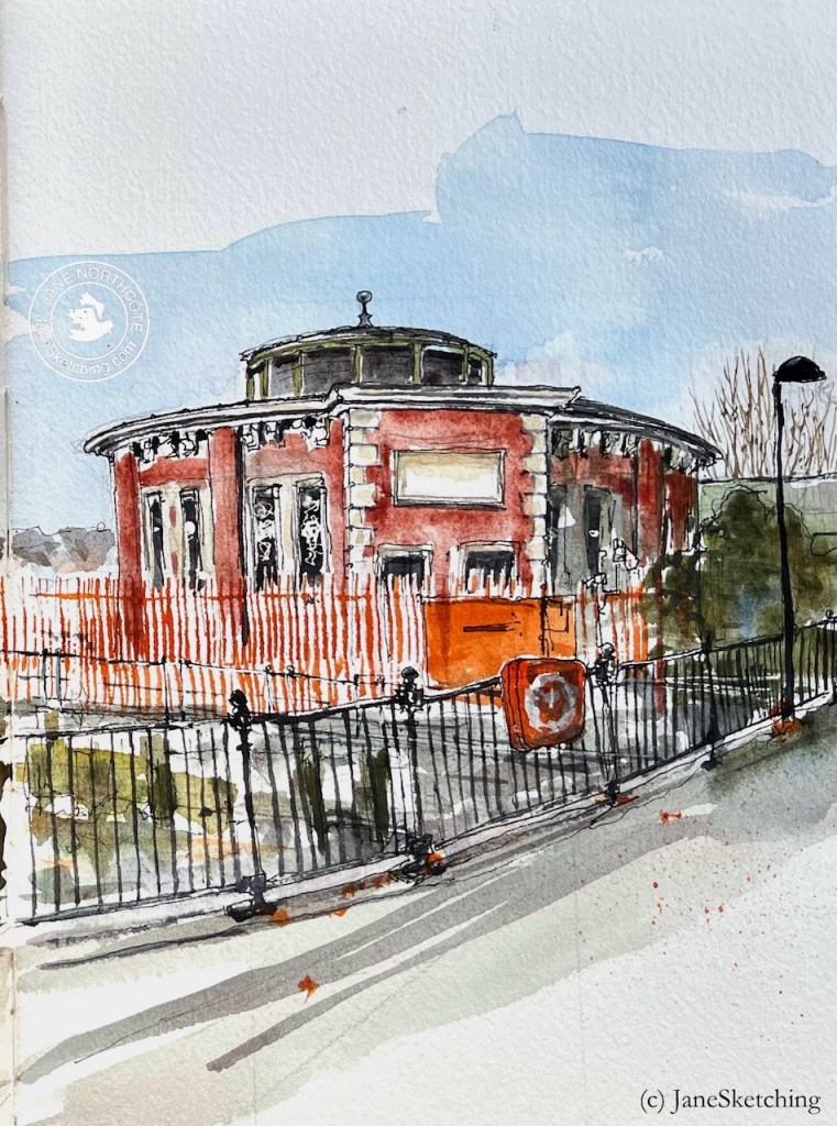
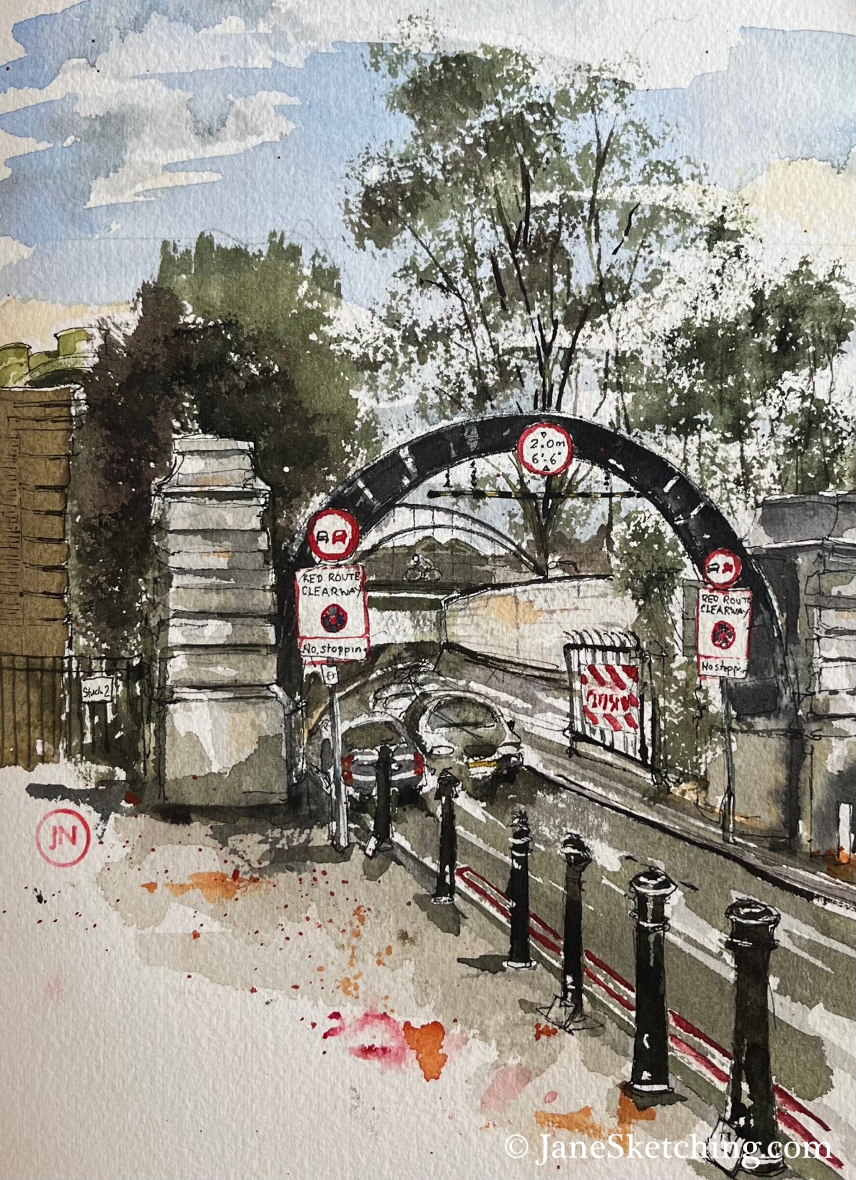
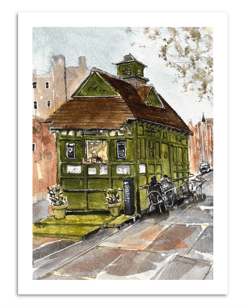
According to the cab driver sitting at one of the tables, this is “the oldest, and the last to be listed”. It was built in 1875, and listed in 2024 (listing ref 1488223).
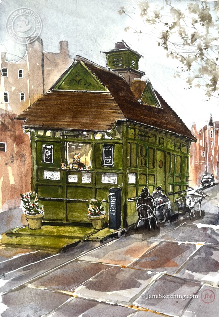
As I was sketching, the manager of the shelter came out and kindly brought me a cup of tea. She was very welcoming, and interested in the drawing. She told me that the rail running round the shelter, shown in my drawing, was for drivers to tether their horses.
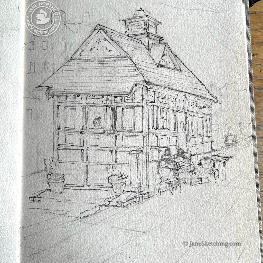
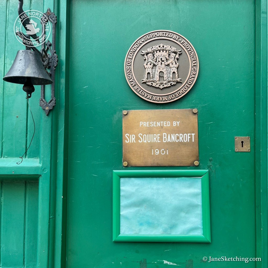
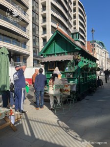
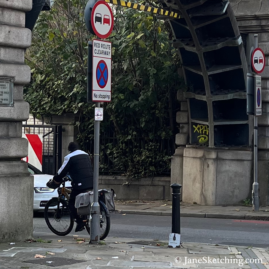
A former cab driver came by in his mobility scooter. He evidently still had dining rights, as he was seated at the tables by the hut. Only cab drivers can sit there, I understood. Cab drivers also went inside the shelter, through the door which you see on the right of the hut, with a circular plate on it. The ex-Cab Driver told me he was a photographer now. “Street Photography”, he said. But he told me he was going to take up birdwatching. This was something it was convenient to do from a mobility scooter. He had no teeth, and it was hard to understand what he said. But nonetheless we enjoyed an extended conversation and listened to the birds we could hear in the park. He went off, waving from his vehicle, steering a confident route along the uneven pavement.
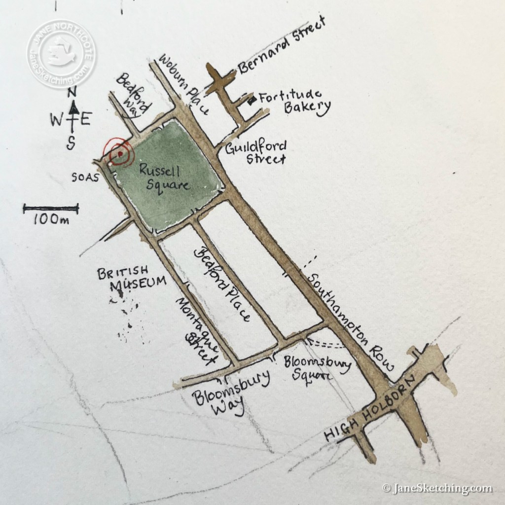
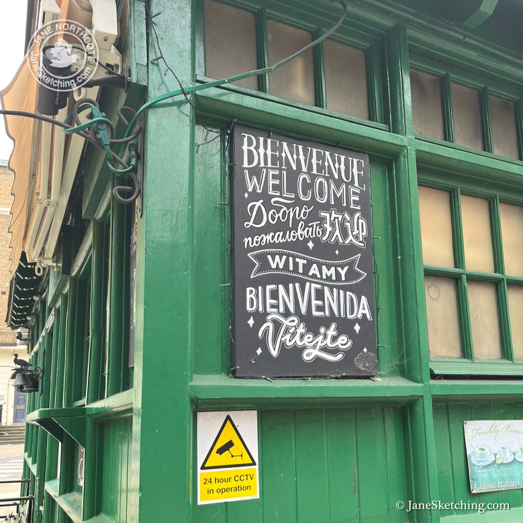
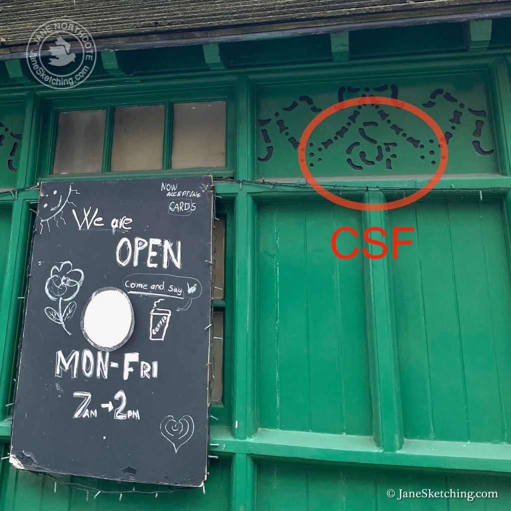
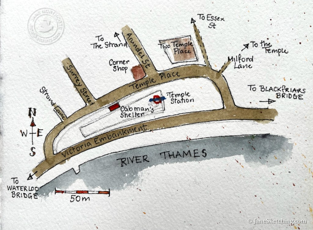
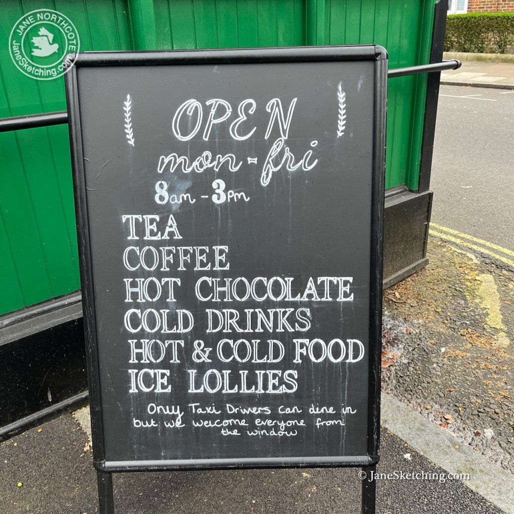
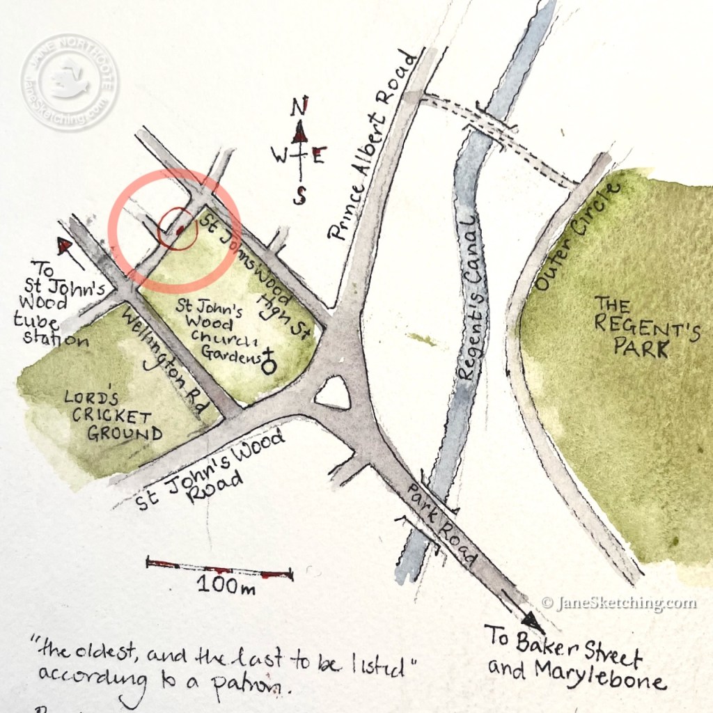
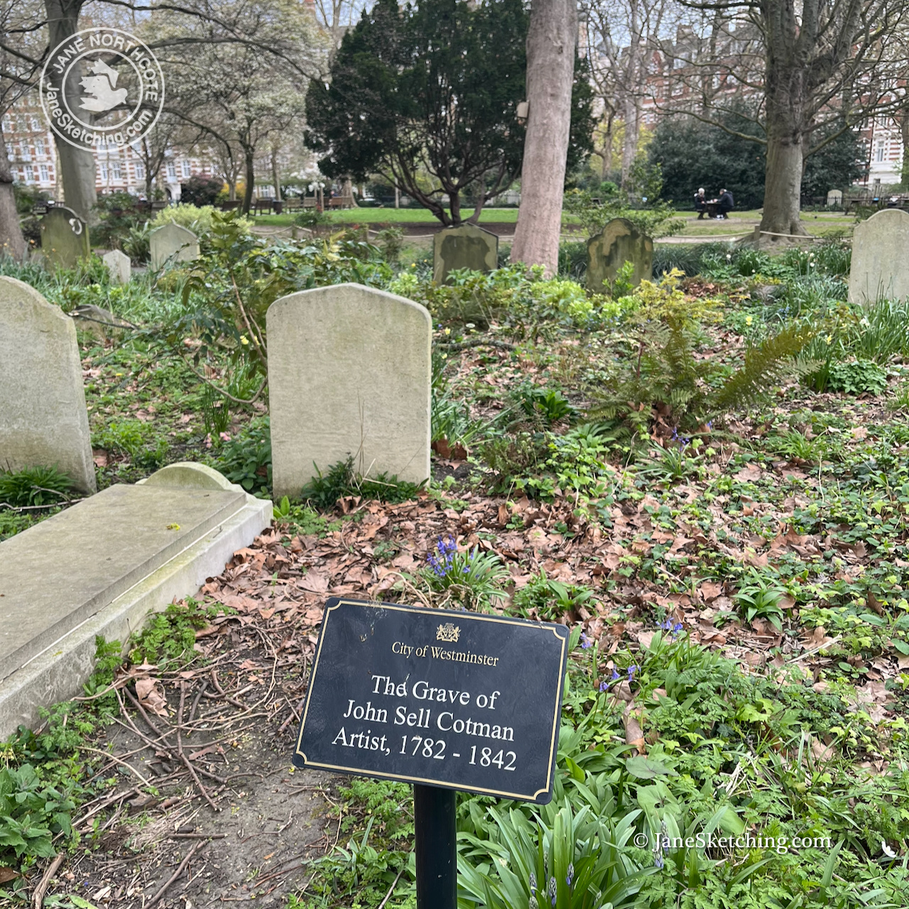
This shelter is called “the Chapel” because it is right next to St John’s Wood Chapel Gardens.
It started to rain and I stopped sketching. I bought a bacon sandwich from the woman in the shelter and went to eat it in the garden.
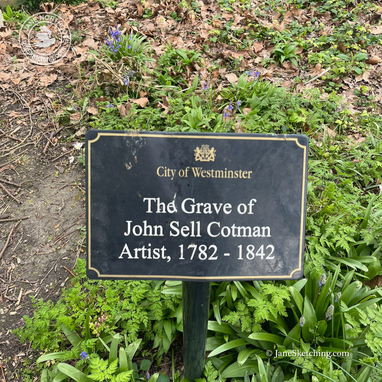
The gardens are the Chapel graveyard. The watercolour artist John Sell Cotman is buried there. I have seen a large exhibition of his work at the British Museum.
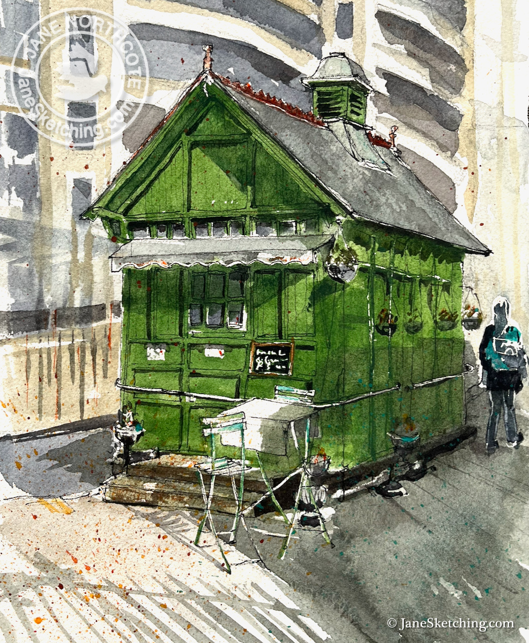
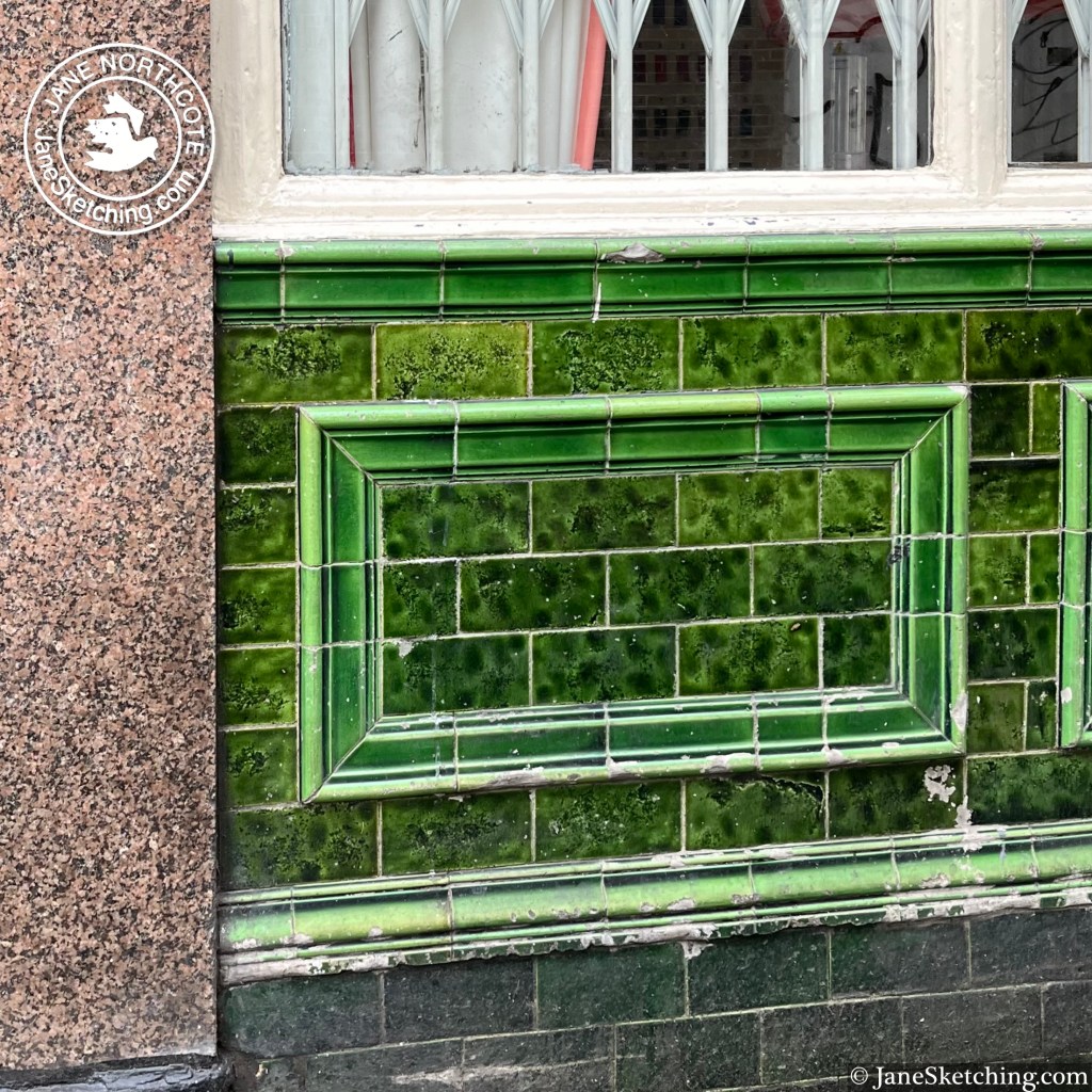
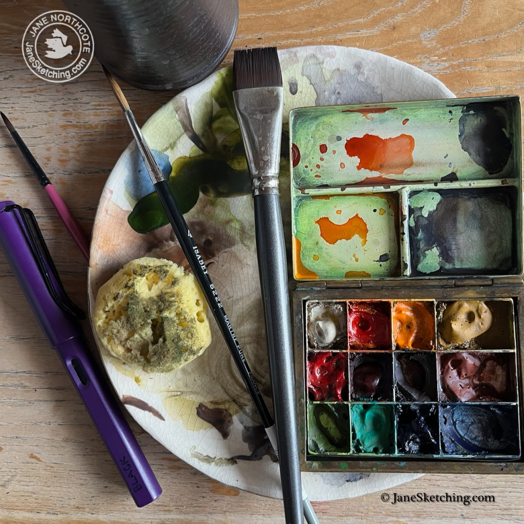
Back at my desk, trying to channel my inner John Sell Cotman, I struggled to match the green colour of the shelter. It is called “Dulux Buckingham Paradise Green I”. 1 It exists in the Dulux Trade Paint range2, but not as a watercolour.

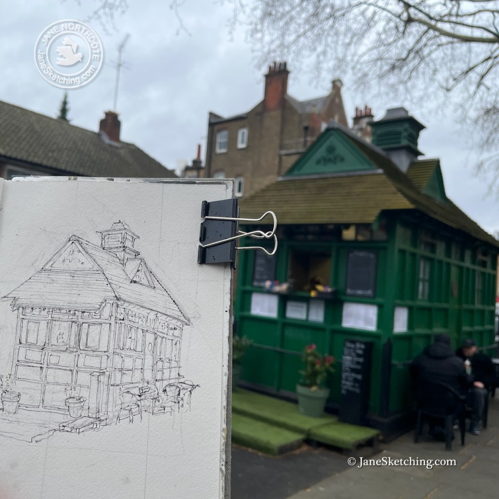
I tried to mix it myself, with partial success. Any colour varies depending on the light conditions, and the surroundings, so I forgive myself for not making an exact technical match. My green is made from Serpentine Genuine (Daniel Smith watercolour ) with touches of Mars Yellow and Ultramarine Blue.
When the picture was finished I ordered a digital print of it, and returned to the shelter to gift the print to the manager who had been so kind and welcoming. It will hang inside her shelter.
(c) JaneSketching
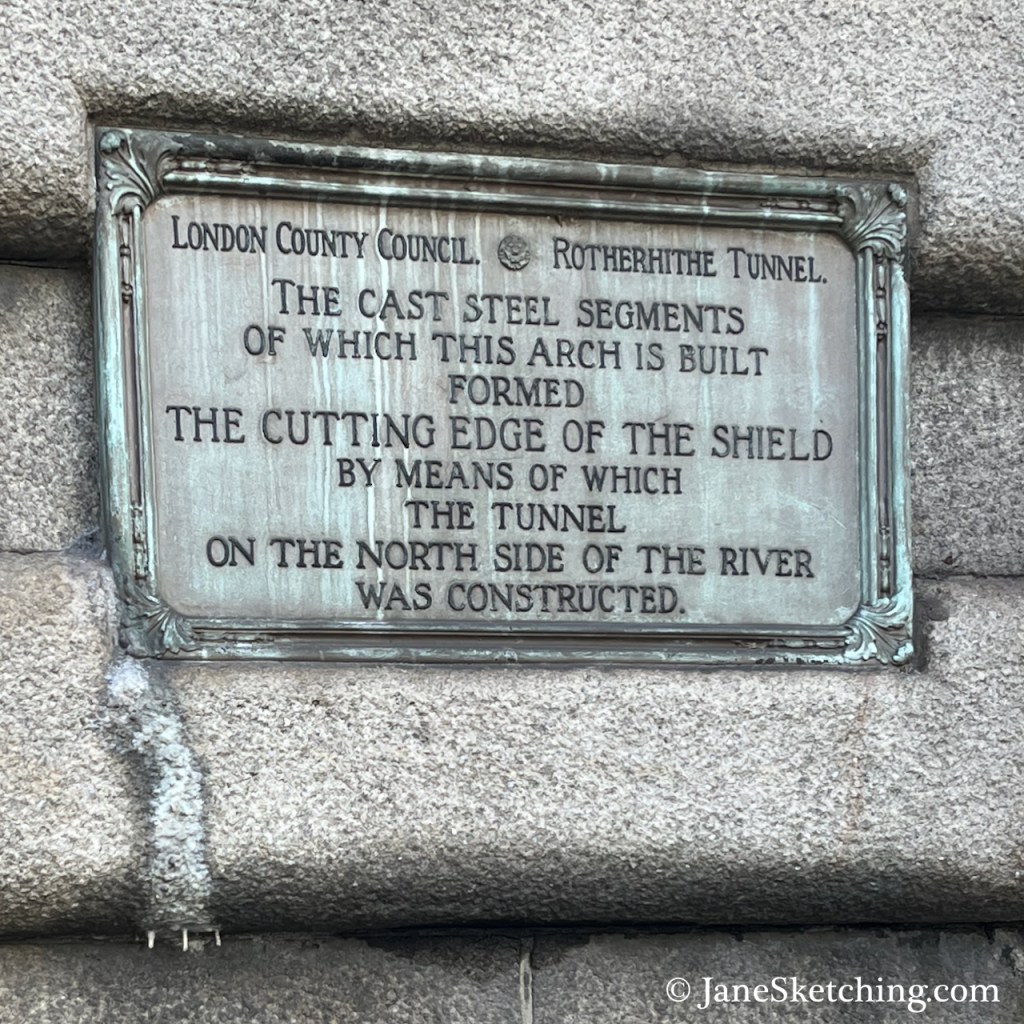
- Historic England has an article about this shelter here: https://historicengland.org.uk/whats-new/news/13th-cabmens-shelter-in-london-listed/
It names the colour of the shelter as “Dulux Buckingham Paradise Green I” ↩︎ - Dulux paint Paradise Green I listed here: https://www.duluxtradepaintexpert.co.uk/en/colours/paradise-green-1-645605 ↩︎