Albury Buildings, Boyfield St, Southwark, London SE1

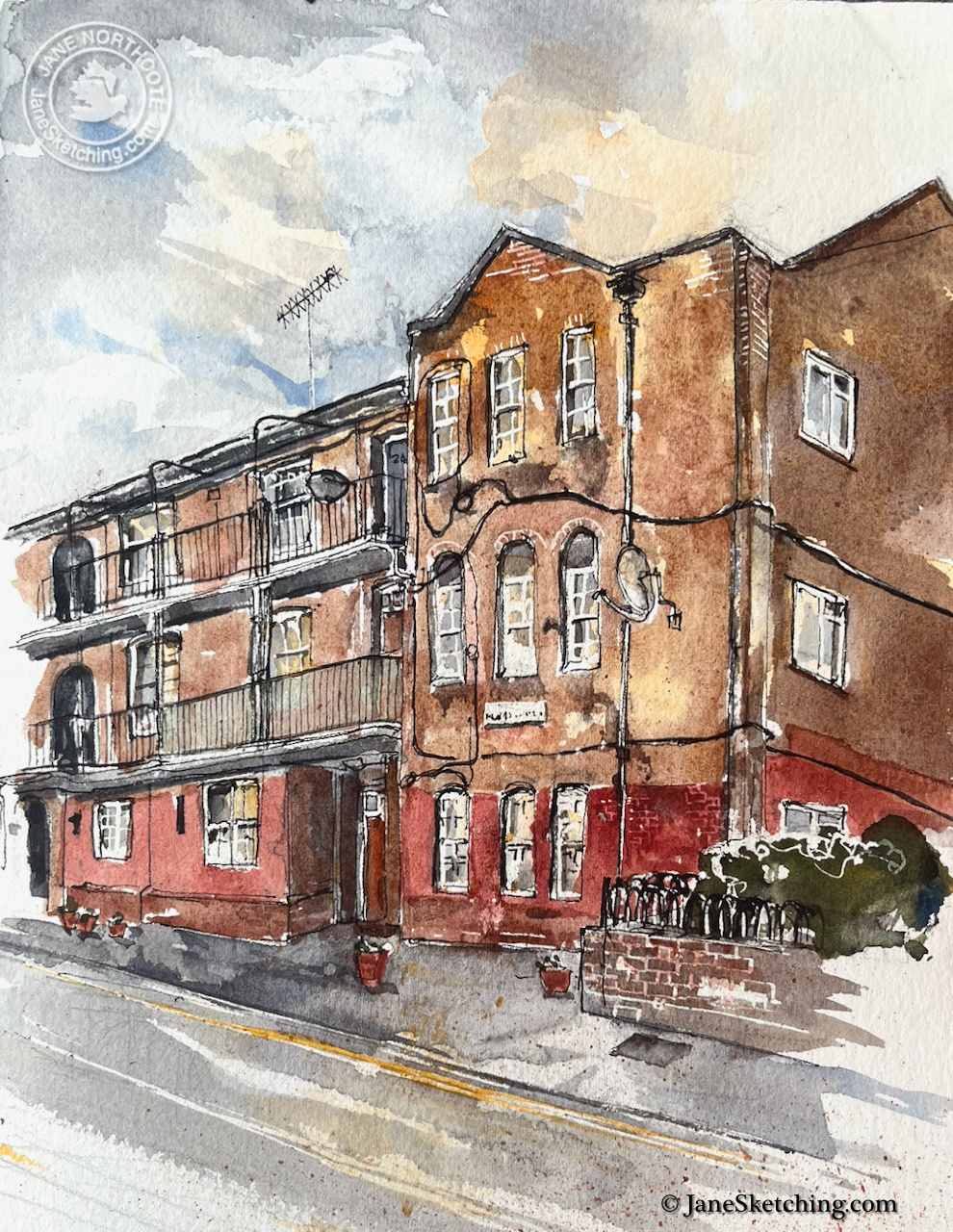
I sketched this block of flats in Southwark, towards the end of an afternoon.
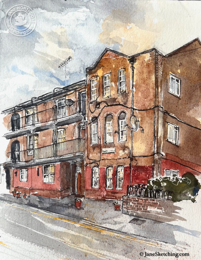
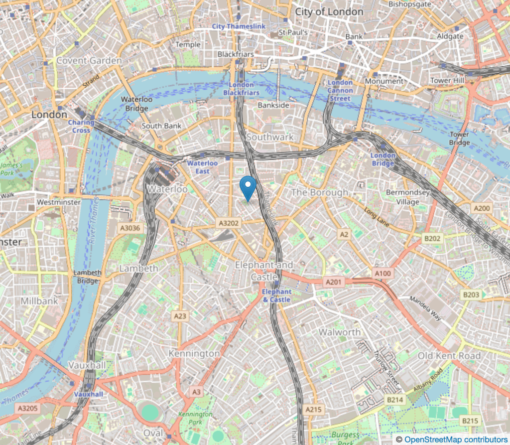
Albury Buildings1, Boyfield Street, Southwark, London SE1 0SD, sketched 24 August 2026 in Sketchbook 17

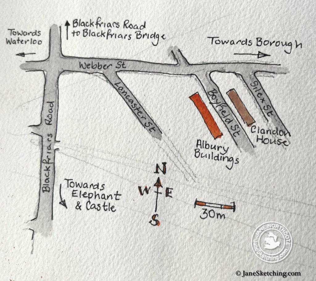
This block, and the block opposite, Clandon House, were completed in 1897.

Pevsner2describes these buildings as “noteworthy early L.C.C. [London County Council] housing of 1896-7” with “quirky Arts and Crafts details”. These, and nearby blocks between Rushworth Street and King’s Bench Street, were designed by R.M. Taylor for the L.C.C.’s housing branch. They are listed Grade II, listing entry 13783763.

I found the building dignified and beautiful, with its arches, railings, and plant pots. The buildings are interesting because they represent the beginnings of the state taking some responsibility for people’s housing4.

During the 19th century, the industrial revolution drew many workers to London. By the middle of the century many of these workers were living in appalling conditions. The government of the day did not see housing as any part of its role. Social reformers such as Octavia Hill made valiant attempts to provide better housing, by raising money from investors. The Peabody Trust, funded from the fortune of a London-based American banker George Peabody, was also building what we would now call social housing. But the rents were too high for the poorest Londoners, who continued to live in unsanitary and crowded conditions. Members of the clergy, reformers and politicians wrote articles drawing attention to this misery.5

By 1890 the government was starting to take positive action. A “Housing of the Working Classes Act” (1890) gave London County Council the power and the duty to replace at least half of the housing that was demolished in improvement schemes for roads and railways. Only half of the housing is to be replaced by the council, note. In his book “Metropolitan Dreams” John Boughton notes that this Act “provided the basis of the relative surge in council house building that followed.” Council house building was controversial. Conservative politicians in power at the time “saw it [the Act], at most, as a small shift towards increased state responsibility but retained their basic belief in the efficacy of the free market and fear (to use a later idiom) of a ‘dependency culture’ fostered by state provision.”6

The London County Council was formed by the Local Government Act of 1888, and the first elections in 1889, just 7 years before Albury Buildings were completed. A subset of the LCC was the “Housing of the Working Classes” branch. This group was influenced by socialist thinkers including William Morris, who is now remembered for his textile designs but who, in his time, was a campaigner for the dignity of working people. So the Arts and Crafts movement, through William Morris and others, was influential at the time of the construction of Albury Buildings. Hence the ornamental railings, the arches, and the balconies.

The arches are open: I could have walked in and along the balconies.
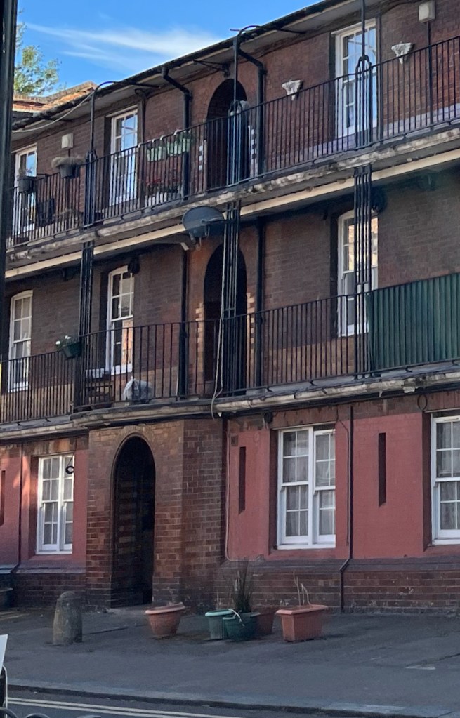
Albury Buildings is now part of the Boyfield Street Estate managed by Southwark Borough Council, who own the freehold. Some are social rent dwellings7, and others are privately owned leaseholds, selling on platforms such as “Rightmove”.
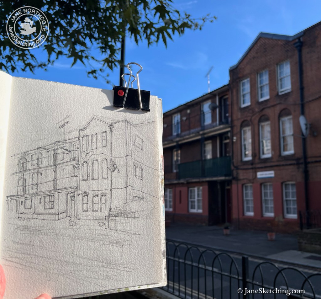
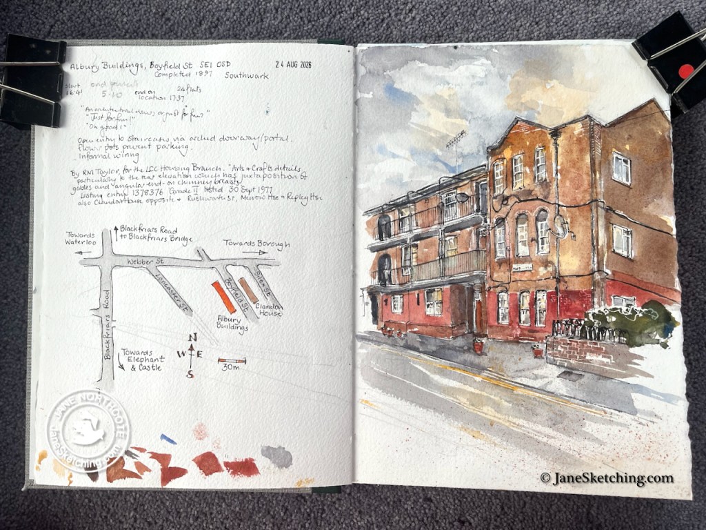
As I sketched people were walking home from work. A passing man asked me, “Is it an architectural drawing, or just for fun?”

“Just for fun”, I replied.

“Good!” he declared, and walked on.


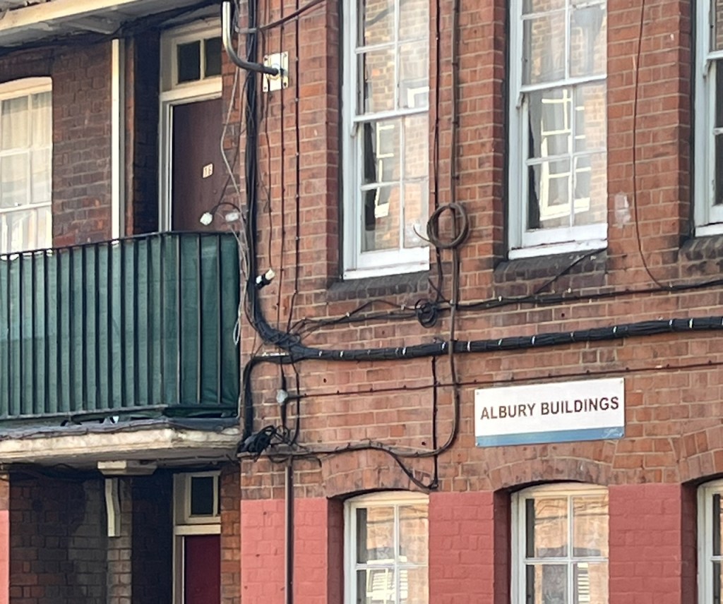
  1. “Albury Buildings” is the name written on the building. In some references it is called “Albury House”. ↩︎
  2. LONDON 2: SOUTH by Nikolaus Pevsner and Bridget Cherry ISBN 0 14 0710.47 7 2001 reprint, page 591 ↩︎
  3. Listing entry by Historic England https://historicengland.org.uk/listing/the-list/list-entry/1378376 ↩︎
  4. Another early example of social housing is the Boundary Estate, Arnold Circus which I have sketched previously . ↩︎
  5. For example,”The Bitter Cry of Outcast London” by Rev. ANDREW MEARNS, London Congregational Union, Memorial Hall, Farringdon Street, E.C., and William C. Preston (1883) https://www.gutenberg.org/cache/epub/55316/pg55316-images.html
    This pamphlet describes the appalling conditions in graphic detail, and also gives a sense of the moral panic that was felt by this clergyman and others. In the crowded conditions, incest was all but inevitable, and people could not go to church. Here’s an extract [all quotes are from the pamphlet reproduced online by Project Gutenberg]:
    Whilst we have been building our churches and solacing ourselves with our religion and dreaming that the millennium was coming, the poor have been growing poorer, the wretched more miserable, and the immoral more corrupt; the gulf has been daily widening which separates the lowest classes of the community from our churches and chapels, and from all decency and civilization….
    The authors go on to describe the conditions. Here is one description [page 9]:
    Every room in these rotten and reeking tenements houses a family, often two. In one cellar a sanitary inspector reports finding a father, mother, three children and four pigs! In another room a missionary found a man ill with small pox, his wife just recovering from her eighth confinement, and the children running about half naked and covered with dirt. Here are seven people living in one underground kitchen, and a little dead child lying in the same room. Elsewhere is a poor widow, her three children, and a child who had been dead thirteen days.”
    The authors propose state intervention [page 24]:
    “Large spaces have been cleared of fever-breeding rookeries, to make way for the building of decent habitations, but the rents of these are far beyond the means of the abject poor. They are driven to crowd more closely together in the few stifling places still left to them; and so Dives makes a richer harvest out of their misery, buying up property condemned as unfit for habitation, and turning it into a gold-mine because the poor must have shelter somewhere, even though it be the shelter of a living tomb.
    The State must make short work of this iniquitous traffic, and secure for the poorest the rights of citizenship; the right to live in something better than fever dens; the right to live as something better than the uncleanest of brute beasts.”

    ↩︎
  6. The history of social housing is from John Bougham’s book “Metropolitan Dreams” ISBN978-1-78478-739-4. The parts I’ve quoted here are from Chapter 1: “How to provide Housing for the People”. ↩︎
  7. Social rent houses in “Albury Buildings” are listed on “https://uksocialhousing.com” under postcode SE1 0SD as council rents. ↩︎
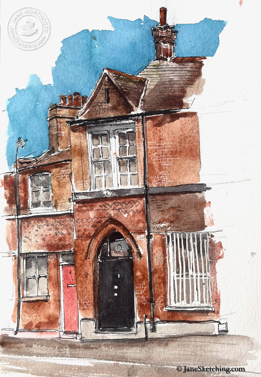
Bishops Hall, 8 Ayres Street SE1

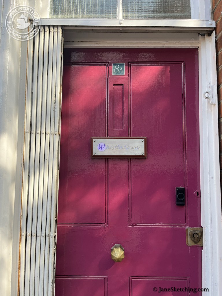
This unassuming door leads to a spectacular hall. This is 8 Ayres Street, the entrance to Bishops Hall, formerly known as Redcross Hall.

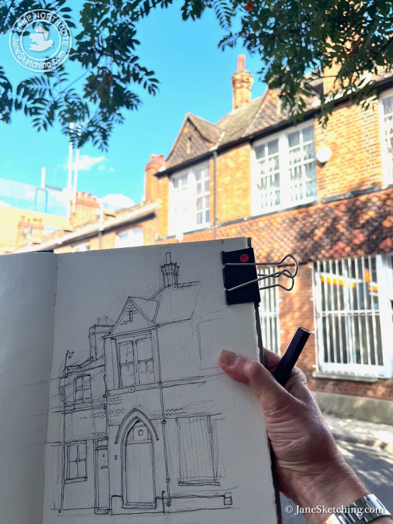
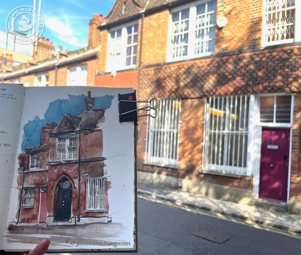
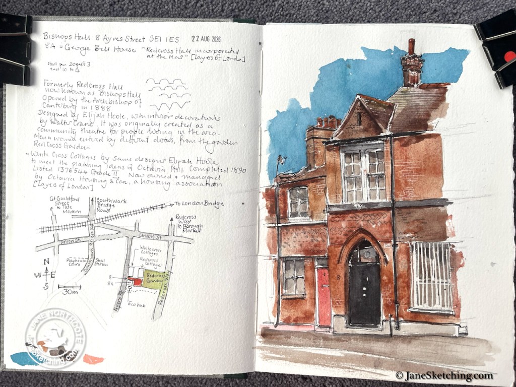
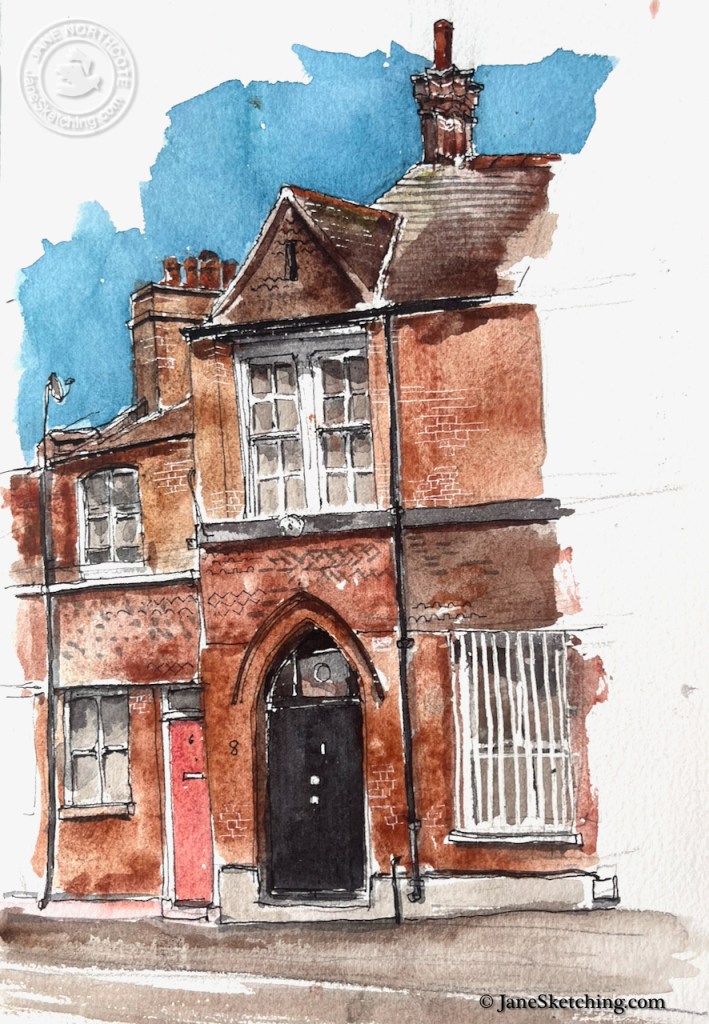
The Ayres Street entrance to Bishops Hall, 8 Ayres Street, sketched 22 August 2026, in Sketchbook 17

When I sketched this door I didn’t know about the surprising building behind it. I had just walked past the tiled frontage, and the pointed doors, and thought it dignified and unusual. I had seen the view from Redcross Gardens, but hadn’t connected the front to the back.

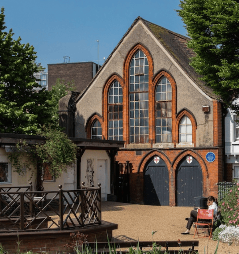
View of Bishops Hall from Redcross Gardens, photo credit unique property company

There is an informative estate agents description online, undated. This praises the “brick arched windows, tiling, historically distressed herringbone parquet floor and the ingenious hammer-beamed roof joists that reach the apex of the internal roof line”. It sounds amazing.

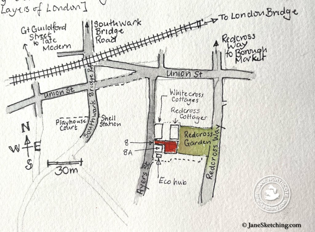
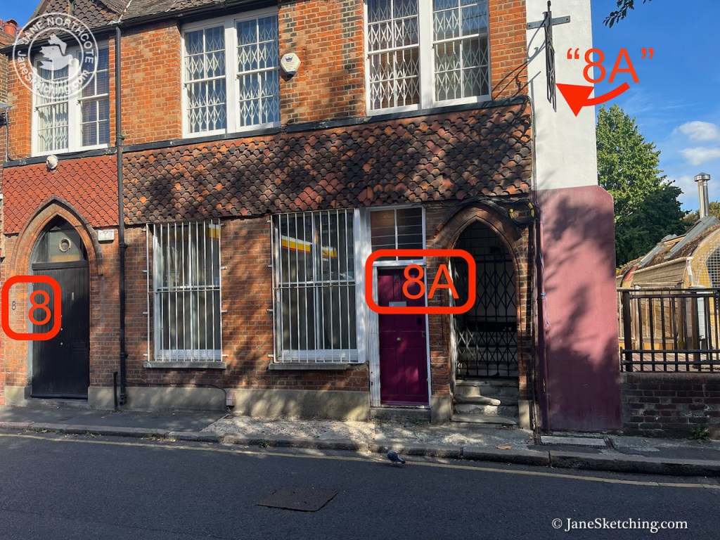
The black door in my drawing threads through a passage into Bishops Hall at the back. In the front is a different building, number 8A Ayres Street, which is called “George Bell House”. Both are listed Grade II.1

Ayers Street numbers 8 and 8A

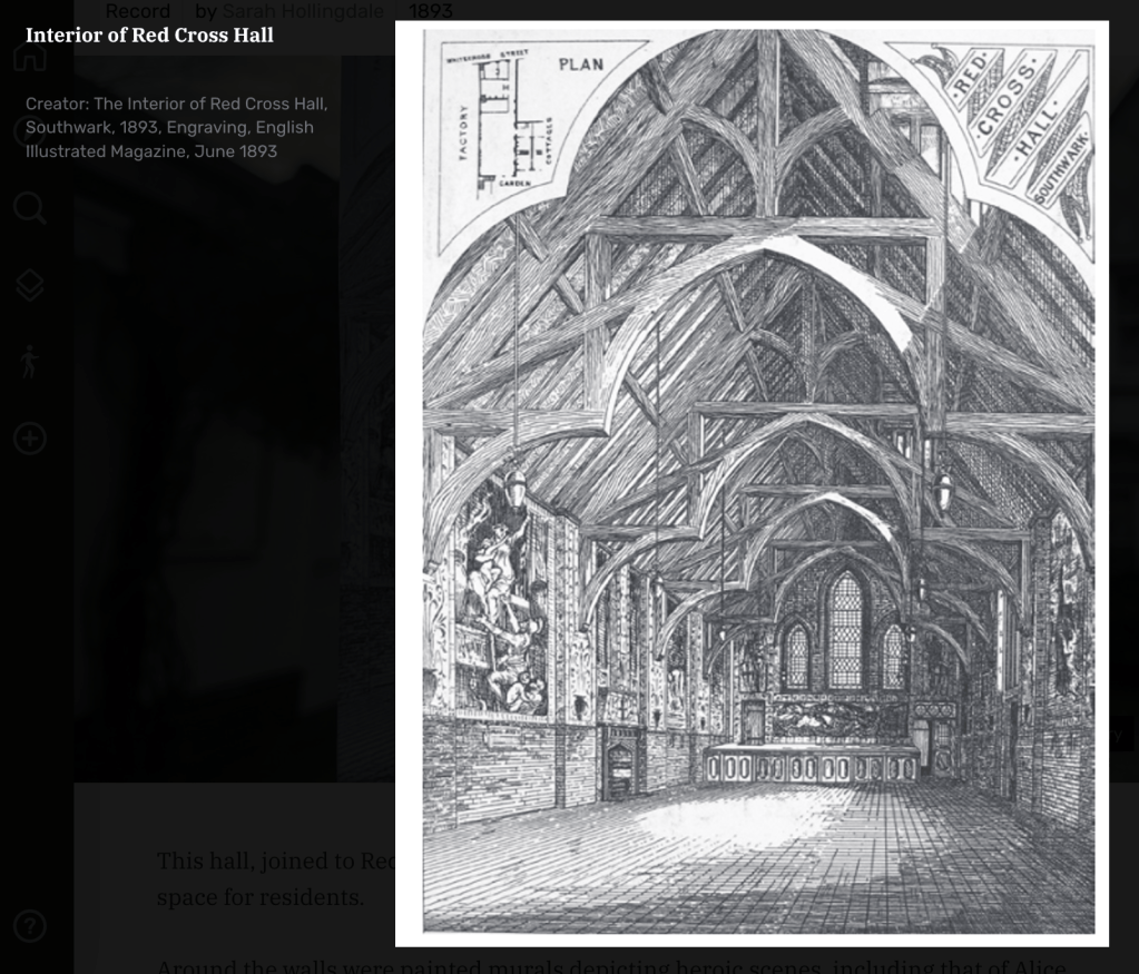
Redcross Hall was opened by the Archbishop of Canterbury in 1888. It was designed by Elijah Hoole, with interior decorations by Walter Crane. 2

Interior of Redcross Hall as designed, image from English Illustrated Magazine 1893 via Layers of London. You can see the pointed windows at the back, which give onto Redcross Garden. Ayres Street was called “Whitecross Street” at that time.

The development was influenced by the ideas of social reformer Octavia Hill. The hall was created as a community theatre and “living room” for people of the area, in conjunction with Redcross Gardens which adjoin. The cottages further north along Ayres Street, to the left of my drawing, were built at the same time. This was 19th century philanthropy in action.2

Redcross Gardens are still there: beautiful, tranquil and a community resource. Bishops Hall is now privately owned.

Number 8A, George Bell house, is a separate building from number 8. It is the studio for Whistledown Productions who make podcasts, and programmes for Radio 4.

This is a striking example of the surprises that abound in London. It’s amazing what you find simply by strolling about.

  1. Historic England listing entry is here: https://historicengland.org.uk/listing/the-list/list-entry/1376545?section=official-list-entry ↩︎
  2. Additional information from Layers of London: https://www.layersoflondon.org/map/records/red-cross-hall ↩︎
Cab Drivers’ Shelter, Thurloe Place SW7

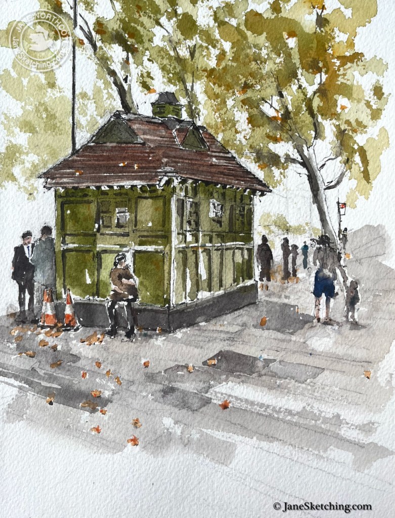
This Cab Drivers’ Shelter is outside the Victoria and Albert Museum in Kensington, London.

Cab Drivers’ Shelter Thurloe Place, sketched 18th August 2026 in Sketchbook 17

This shelter, one of 13 remaining, was built to the designs of Maximilian Clarke in 18971.

‘The Alexander Estate’, in Survey of London: Volume 41, Brompton, ed. F H W Sheppard (London, 1983), British History Online https://www.british-history.ac.uk/survey-london/vol41/pp58-86 [accessed 8 September 2026].

As I was sketching, members of staff emerged from the V&A onto the pavement to chat and to smoke. One of them came to look at the picture and told me “It used to be in the centre of the road you know. We all went over there.”

This shelter has been moved at least twice. It was originally in the middle of the road outside number 2-7.

Undated photo, probably 1920s or 30s, judging from the cars. This is a view looking East along Thurloe Place. The domed structure is on the corner of Thurloe Place and Brompton Road. It is still there. There is a long line of cabs in the road, leading to the shelter in the bottom left (arrowed). Image from Margaret Purnell on Facebook.
Google Street view (September 2025), showing approximately the same view. The shelter is now on the pavement, arrowed, partly hidden by a bus stop. The trees have grown!

In the 1970s the shelter was moved southwest to be in the middle of the road outside number 112, the Rembrandt Hotel. A picture in the London Picture archive3 shows that it was still there in the middle of the road in 1977. Then some time later (after 1983 4 ) the shelter was moved to the pavement next to the Victoria and Albert Museum, which is where it is now (see Google Street view above).

This cab drivers’ shelter is closed and no longer serves refreshments. However in a mysterious way it still exerts an attraction. While I sketched, people congregated there on their work breaks. Even though closed it offers some spirit of “shelter” it would seem.

A sheltering place – detail from the sketch
Page spread sketchbook 17
  1. A history of Cab Drivers’ shelters is on the Historic England site: https://heritagecalling.com/2024/04/09/a-brief-introduction-to-cabmens-shelters/ ↩︎
  2. Evidence that the shelter was moved southwest in the 1970s: Here’s an extract from footnote n15 in British History Online. This article was written in 1983 when the shelter was still in the middle of the road, opposite number 11.: “Opposite the Rembrandt Hotel, in the centre of the roadway of Thurloe Place, is a cabmen’s shelter (fig. 22) which was originally erected a little further to the east in 1897 and moved here in the 1970’s. Paid for by the Vicar of St. Jude’s Church, Courtfield Gardens, and the residents of Earl’s Court, it was evidently a replacement for an earlier shelter. The purpose of these shelters, for which a fund had been established in 1875 under the president of Lord Shaftesbury, was to supply cabmen ‘when on the rants, with a place of Shelter where they can obtain good and wholesome refreshments at very moderate prices ’. The shelters took various forms, but the best-known type, of which that in Thurloe Place is a good example, was designed by Maximilian Clarke, who was appointed joint honorary architect to the Cabmen’s Shelter Fund in I884.” This article in British History Online was edited in 1983. (Citation: ‘The Alexander Estate’, in Survey of London: Volume 41, Brompton, ed. F H W Sheppard (London, 1983), British History Online https://www.british-history.ac.uk/survey-london/vol41/pp58-86 [accessed 8 September 2026].) ↩︎
  3. London Picture Archive:https://www.londonpicturearchive.org.uk/view-item?i=232612&WINID=1788868476245 ↩︎
  4. An article on the Historic England site says “The shelter once sat in the middle of the road on Thurloe Place but was moved to the side of the road due to local road widening for a nearby hotel”. But it doesn’t say when this happened. Historic England history of Cab drivers’ shelters: https://heritagecalling.com/2024/04/09/a-brief-introduction-to-cabmens-shelters/ ↩︎
The Albany, Thames Ditton KT7

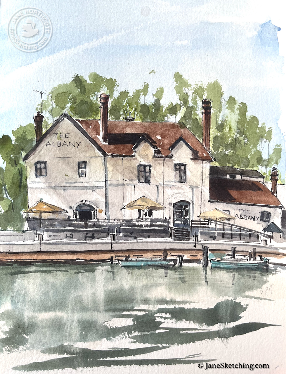
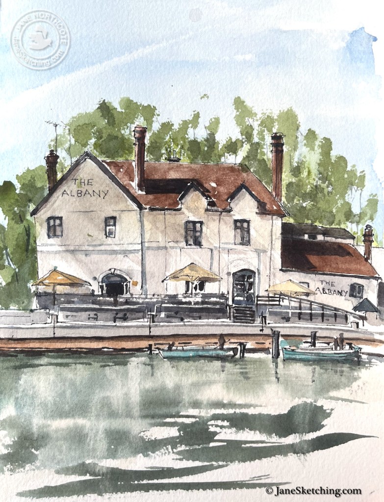
Walking along the Thames path, I paused to sketch The Albany, a pub on the opposite bank.

Watercolor illustration of 'The Albany', a waterfront building featuring a brown roof and outside seating under yellow umbrellas. Lush greenery is present in the background, and the calm water reflects the structure.
The Albany Country Pub and Restaurant, Thames Ditton, KT7 0QY, sketched from the Hampton Court towpath, 8 August 2026
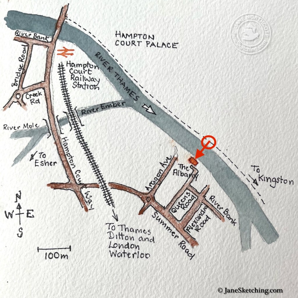
Map of Hampton Court area showing key landmarks including Hampton Court Palace, River Thames, and nearby roads.

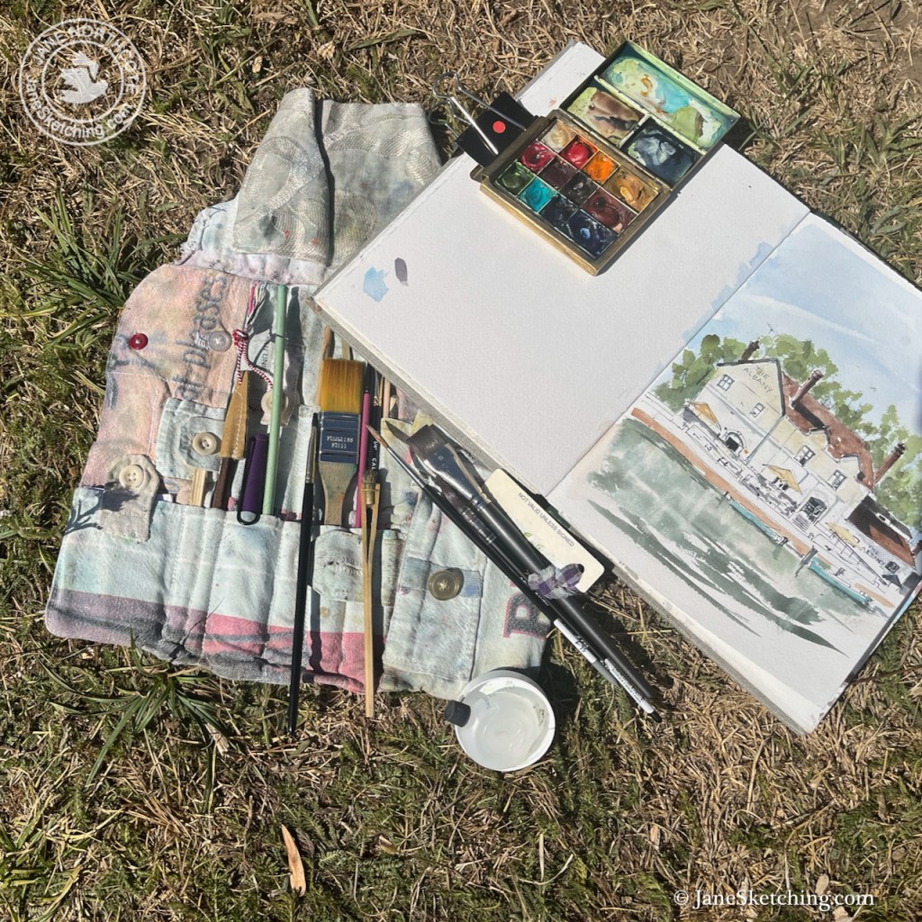
It was a very hot day. The grass was dried up.

An artist's toolkit laid out on grass, featuring paintbrushes, a watercolor palette, and a sketchbook with an illustration of a house by the water.
Drawing equipment on the dried grass, Thames towpath.

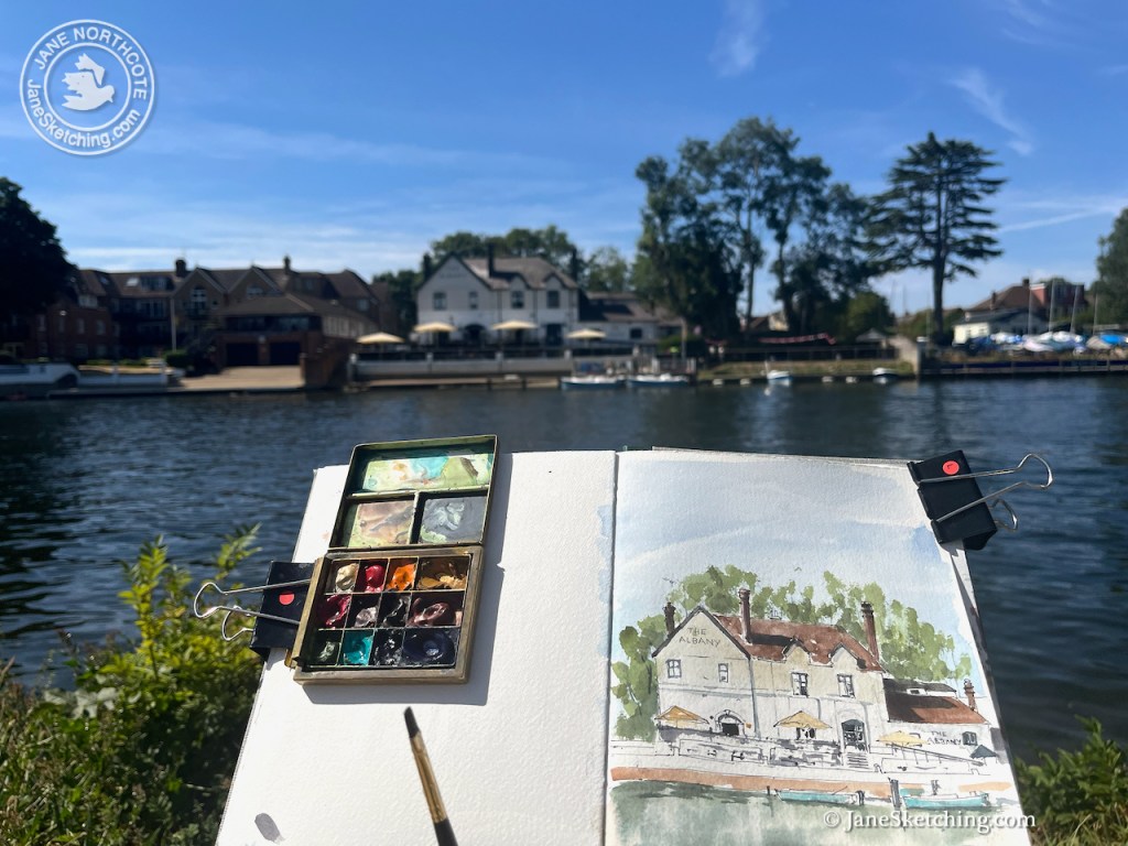
Here is the view across the river.

A painter's watercolor palette and sketchbook displaying a painting of a riverside building titled 'The Albany,' with a scenic view of trees and boats in the background.
Sketching The Albany

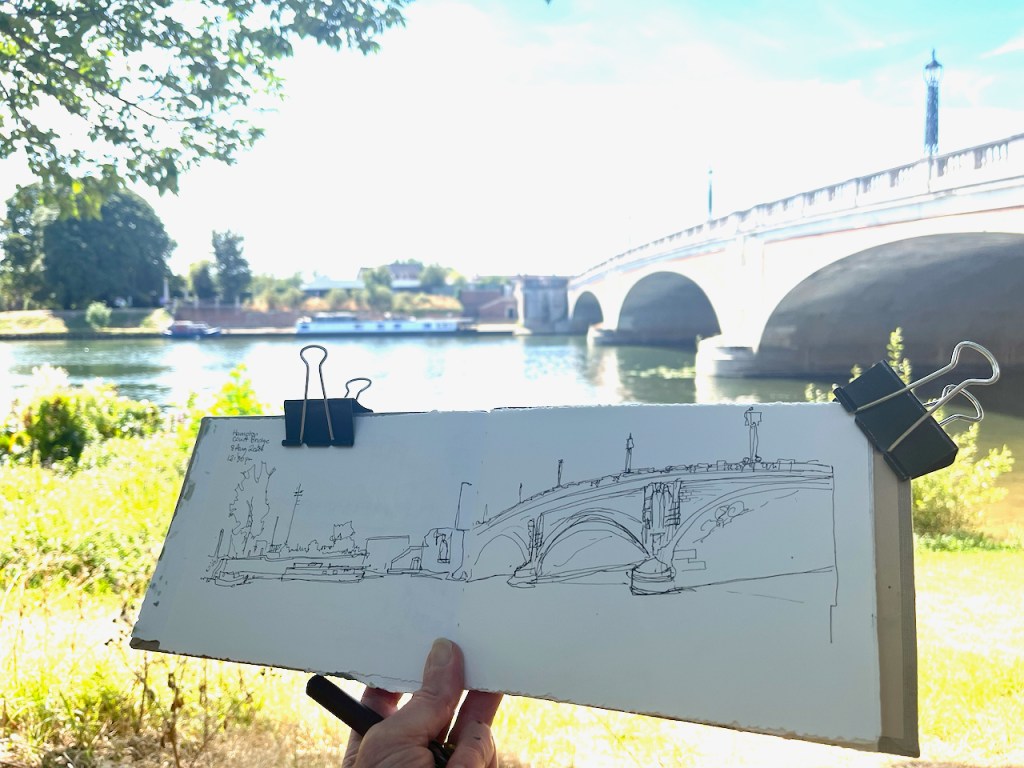
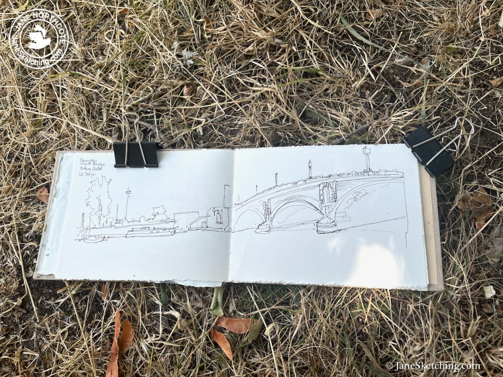
After I sketched “The Albany”, I walked back up the river to Hampton Court Bridge.

Here are some other sketches I’ve done along this stretch of the river:

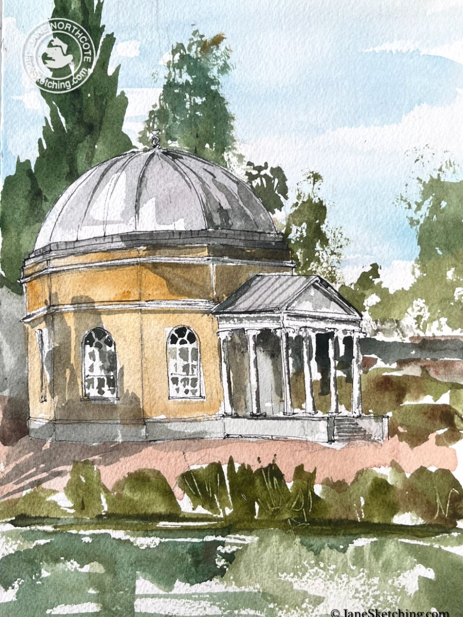
Garrick’s Temple to Shakespeare, Hampton, TW12

Strolling along the river bank I saw this quirky little temple on the other side of the river. It was afternoon, in the midst of a hot spell. A group of young girls were playing on paddle boards, standing up and jumping in the water, shrieking. A small motor boat came from the island “Garrick’s…

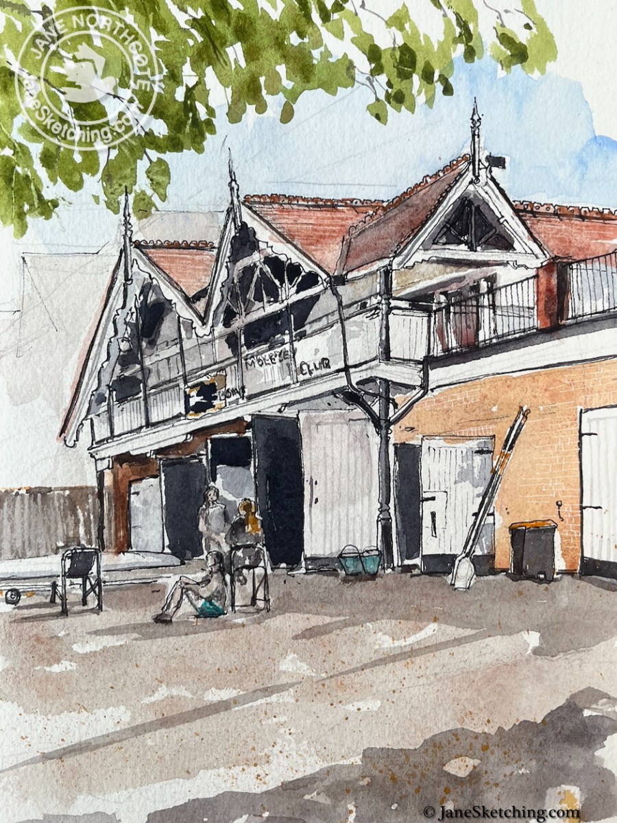
Molesey Boat Club, KT8

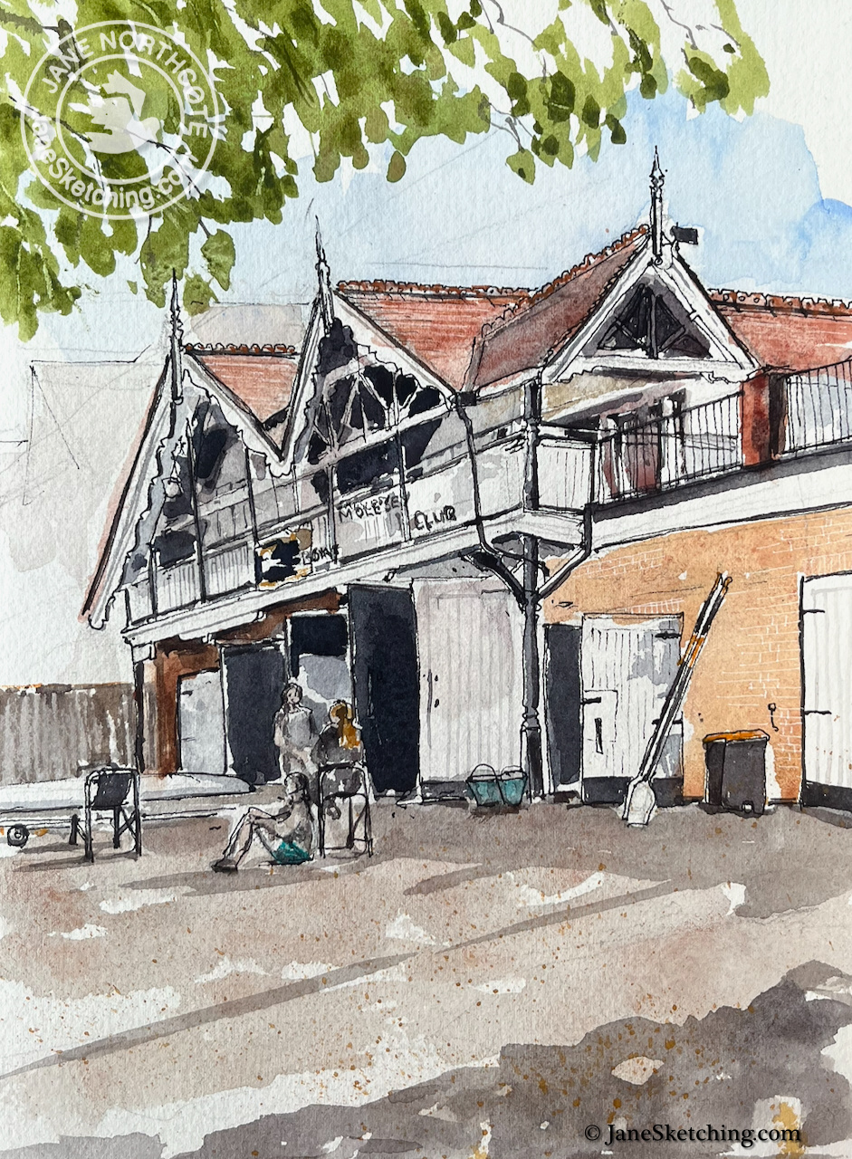
A short walk from Hampton Court Bridge is Molesey Boat Club. This is a lively place. I watched a group of school-age boys and girls competently lift a boat out of the water, and place it carefully on its stand. They then washed it with sponges. Boats were coming and going all the time, fours,…

Molesey Boat Club, KT8

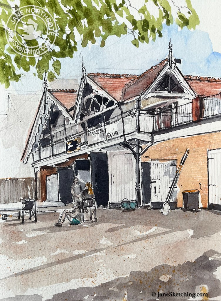
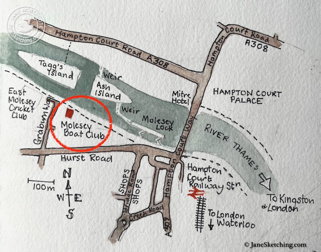
A short walk from Hampton Court Bridge is Molesey Boat Club.

This is a lively place. I watched a group of school-age boys and girls competently lift a boat out of the water, and place it carefully on its stand. They then washed it with sponges. Boats were coming and going all the time, fours, twos and single skulls, people of all ages. It all looked fun and made me want to have a go. A group of fit-looking young people set off, their instructor following in a motor boat. In a few moments they were rowing back the other way. Then they turned the boat and went back up the river at fantastic speed. Within half an hour then were back at the boat house, clambering out of the boat, and handing over to another group.

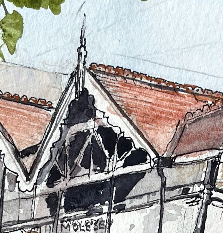
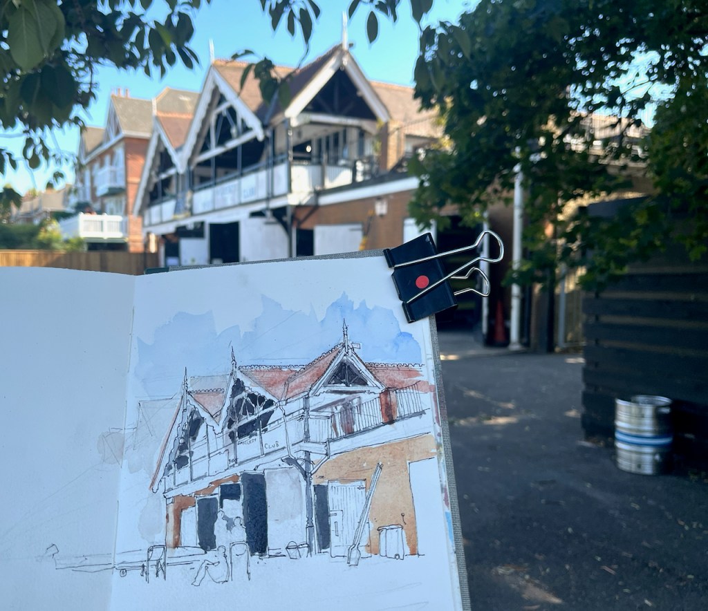
I did not follow the activities of the boat crews in great detail, however, as I was concentrating on those very complicated eaves and the carved woodwork of the boathouse.

Molesey Boat Club, detail.

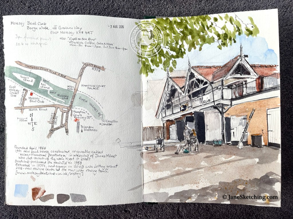
The club was founded in 1866. This boathouse dates from 1901. It has been renovated and extended since, most recently in 2016, when a new rowing centre with a rowing tank was added.1

work in progress on the sketch

There is a café on the first floor, overlooking the river. It is called “Eight on the River“. The thing to watch is that it closes at 3pm on weekdays, so don’t hang around perfecting your drawing, but get up there.

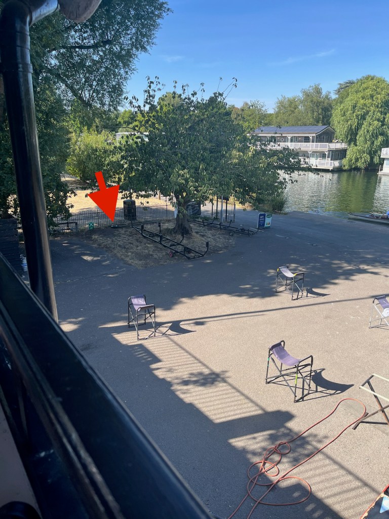
Here is my shady sketching location seen from the balcony of the café. In the foreground are the seat-like stands where the crews place their boats after use.

My sketching location (arrowed) seen from “Eight on the River”

It’s a lovely place to sketch, and to watch the river.

Molesey Boat Club, page spread, sketchbook 16
  1. History of the boat club from https://moleseyboatclub.co.uk/history
    ↩︎

Garrick’s Temple to Shakespeare, Hampton, TW12

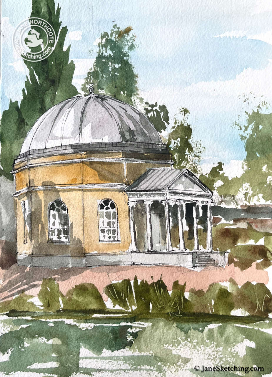
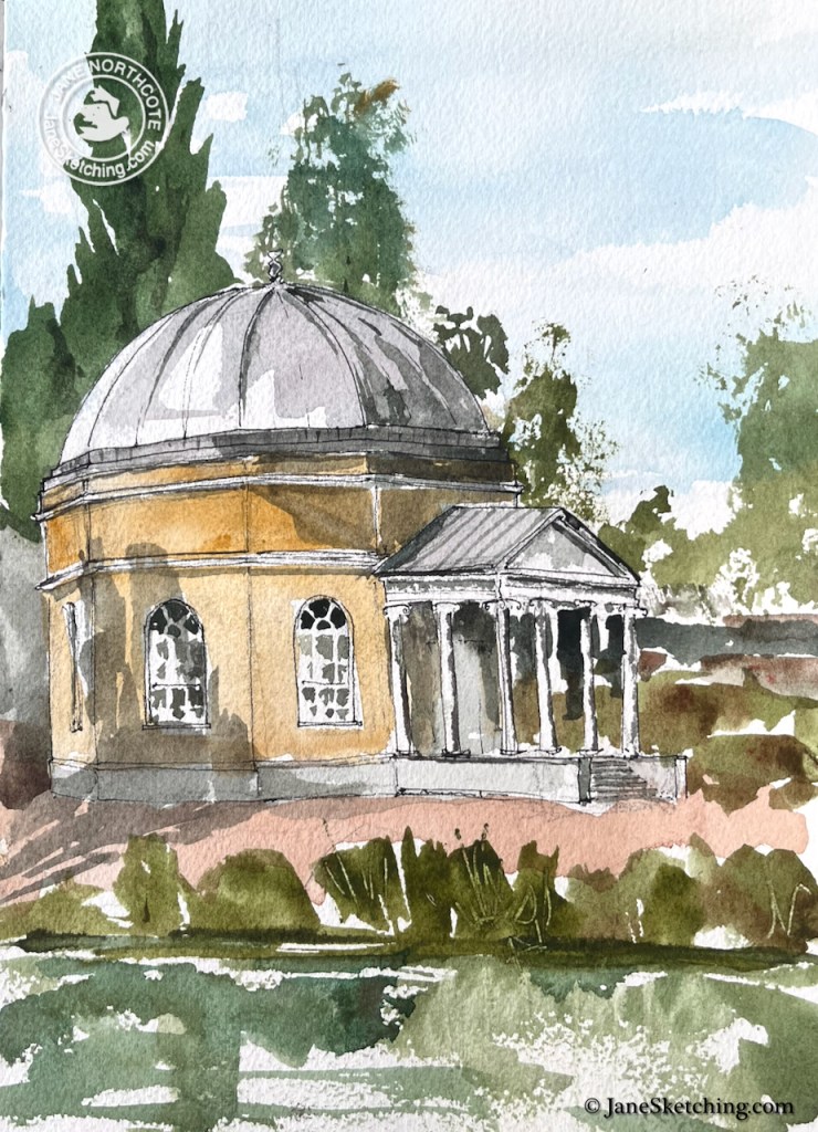
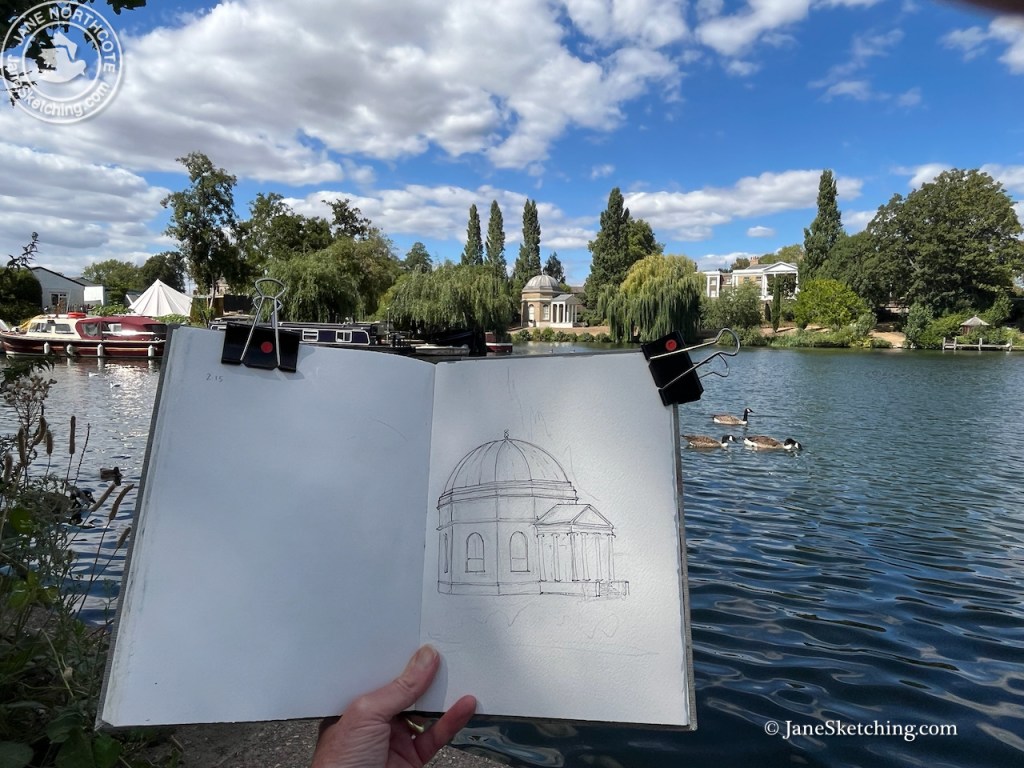
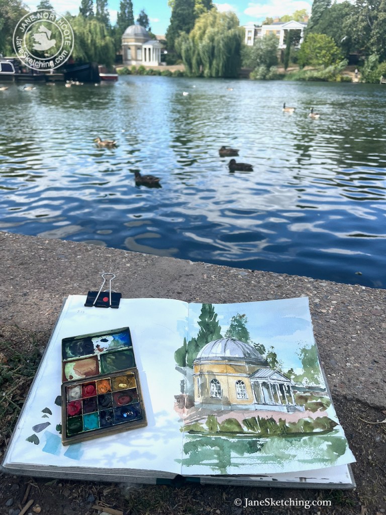
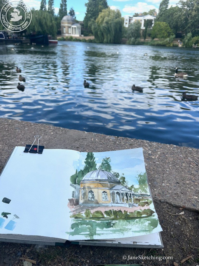
Strolling along the river bank I saw this quirky little temple on the other side of the river.

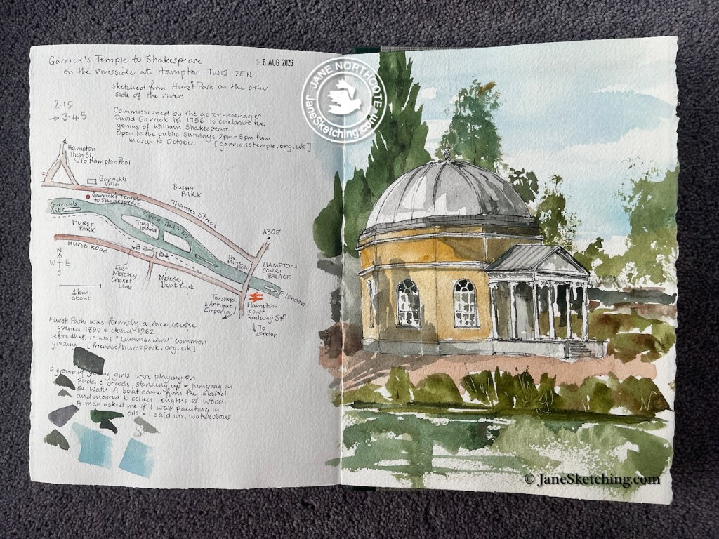
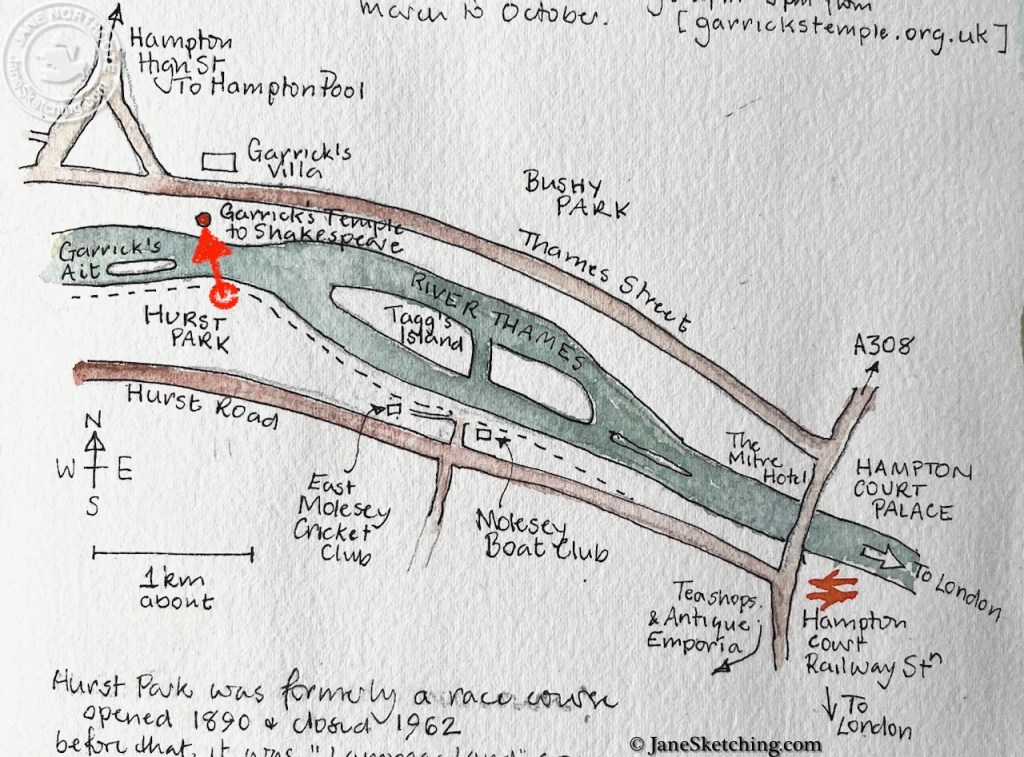
Garrick’s Temple to Shakespeare TW12 2EN, sketched from Hurst Park on 6th August 2026 in Sketchbook 16

It was afternoon, in the midst of a hot spell.

A group of young girls were playing on paddle boards, standing up and jumping in the water, shrieking. A small motor boat came from the island “Garrick’s Ait” and moored to the bank nearby to where I was sketching. They loaded the boat with lengths of wood, and went off again. I had offered to move, but they said no, they could manage. They were polite, I was polite, and we all wished each other a pleasant afternoon.

Map showing the location of the Temple.

Later, my friend D kindly drove me over Hampton Court Bridge and dropped me off near the Temple so I could have a closer look.

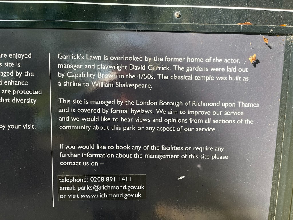
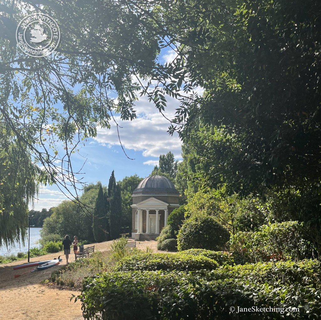
There’s a lawn sloping to the river, and an information placard.

Garrick’s Temple, photographed August 2026 from the Hampton side of the river.

“Garrick’s Lawn is overlooked by the former home of the actor, manager and playwright David Garrick. The gardens were laid out by Capability Brown in the 1750s. The classical temple was built as a shrine to William Shakespeare.
This site is managed by the London Borough of Richmond upon Thames and is covered by formal byelaws….”

According to the website of Garrick’s Temple (garrickstemple.org.uk) the building was commissioned by David Garrick in 1756 “to celebrate the genius of William Shakespeare”.

David Garrick (1716-1779) was an actor and theatre manager. The Garrick Theatre in London’s West End was named after David Garrick1. It opened in 1859, 80 years after Garrick’s death, and was financed by playwright W. S. Gilbert, of Gilbert and Sullivan operettas.

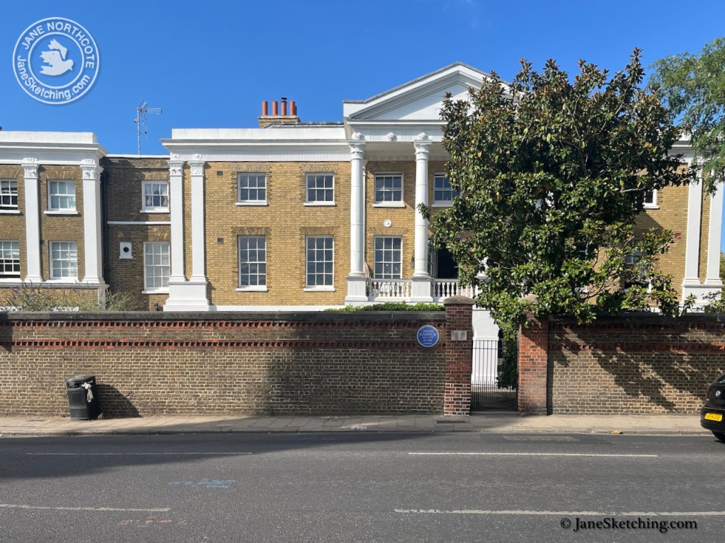
Garrick was a much acclaimed and successful actor, and owned a share of the Theatre Royal Drury Lane. He became wealthy, and had a villa constructed at Hampton. This is what it looks like now:

Garrick’s Villa, just above the Temple, photographed 2026

He built the “shrine to Shakespeare” nearer the river, and used it as a study, as a place to entertain friends and as a place to exhibit his collection of Shakespeare memorabilia.2

Now it is open to the public on Sundays from March to October, 2pm-5pm and houses an exhibition about Garrick. It is also used for arts and cultural events3

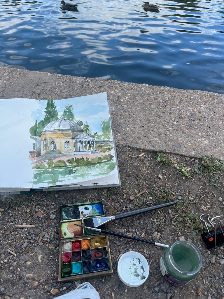
Here are some snapshots of my work on the sketch.


Full page spread, sketchbook 16

  1. History of the Garrick Theatre from the Garrick Theatre website: https://thegarricktheatre.co.uk/about-garrick-theatre/ ↩︎
  2. Information about the Temple is from their website: https://garrickstemple.org.uk/ There’s a great story about a guest of Garrick’s performing a trick golf shot by hitting a golf ball through a tunnel near the Temple. More on this golf story is here: https://www.scottishgolfhistory.org/news/molesey-hurst-and-first-golf-trick-shot/ ↩︎
  3. https://garrickstemple.org.uk/ ↩︎

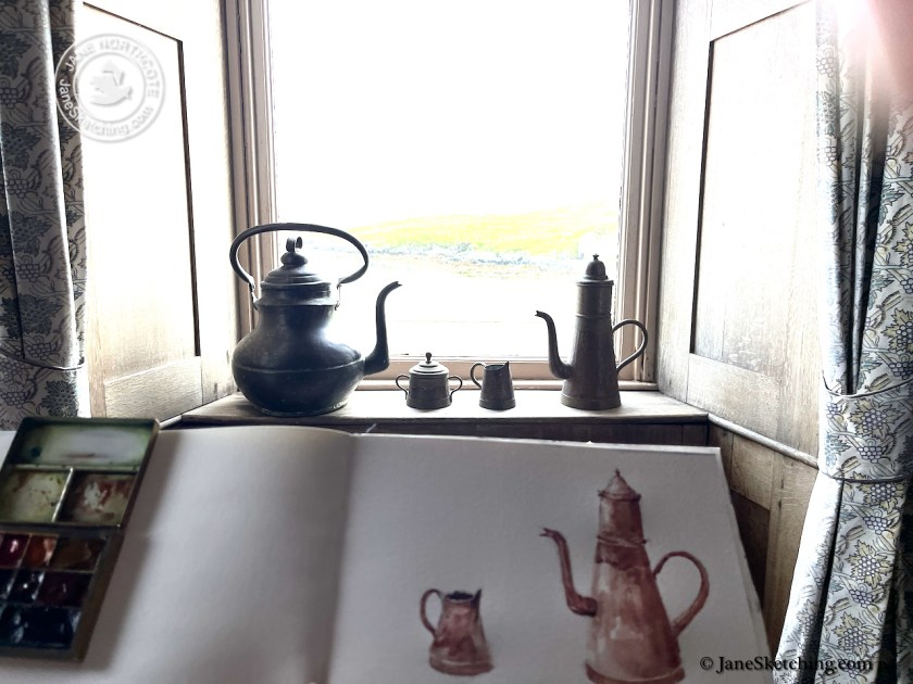
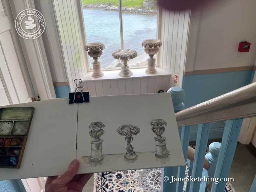
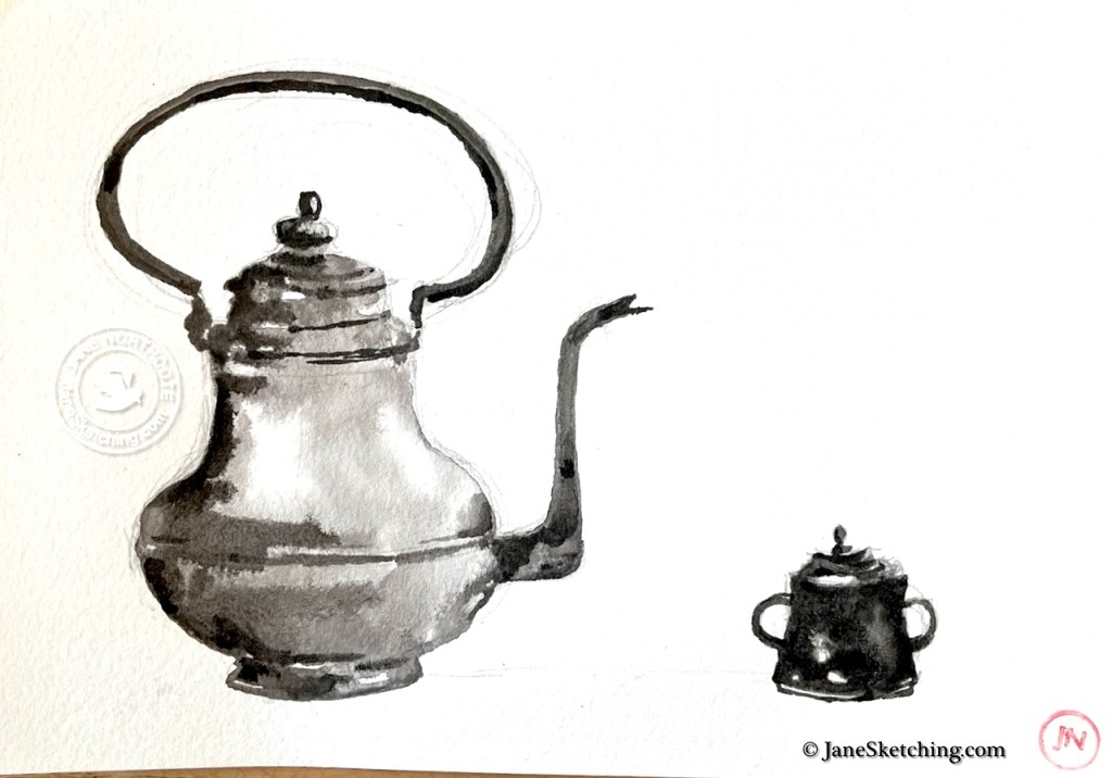
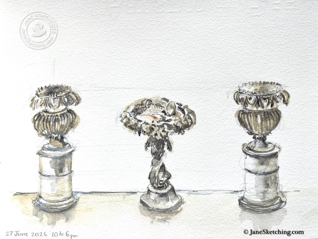
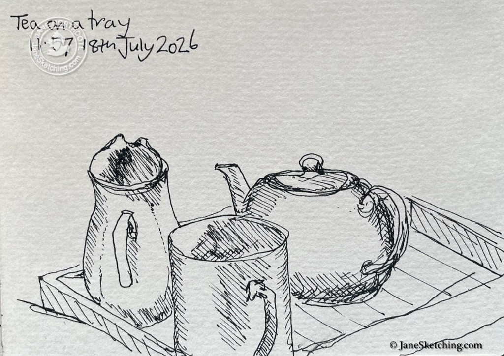
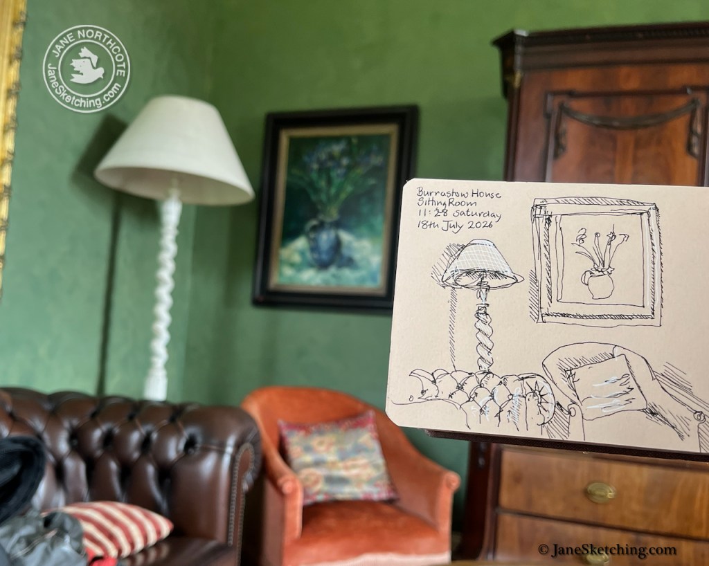
Objects at Burrastow – July and August 2026

Objects on a window cill are dialogue with each other.

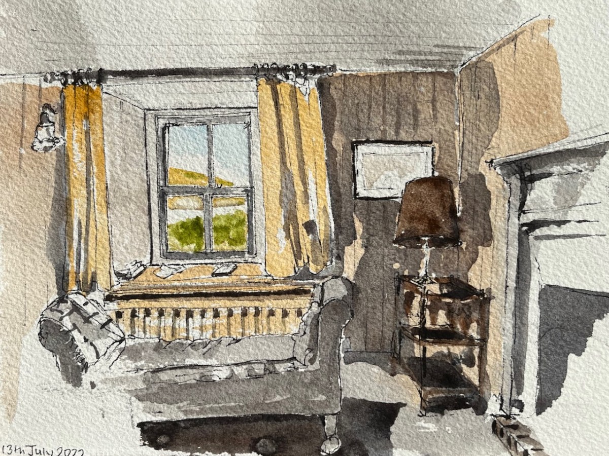
The gas lamp stands at the window, overlooking the driveway.

Three tall objects on the landing watch the sea.

The objects are patient, and pause while I sketch them. Time to be slow.

With thanks to Pierre and Han at Burrastow House.

Shetland 2026 (part 2 – Burrastow)

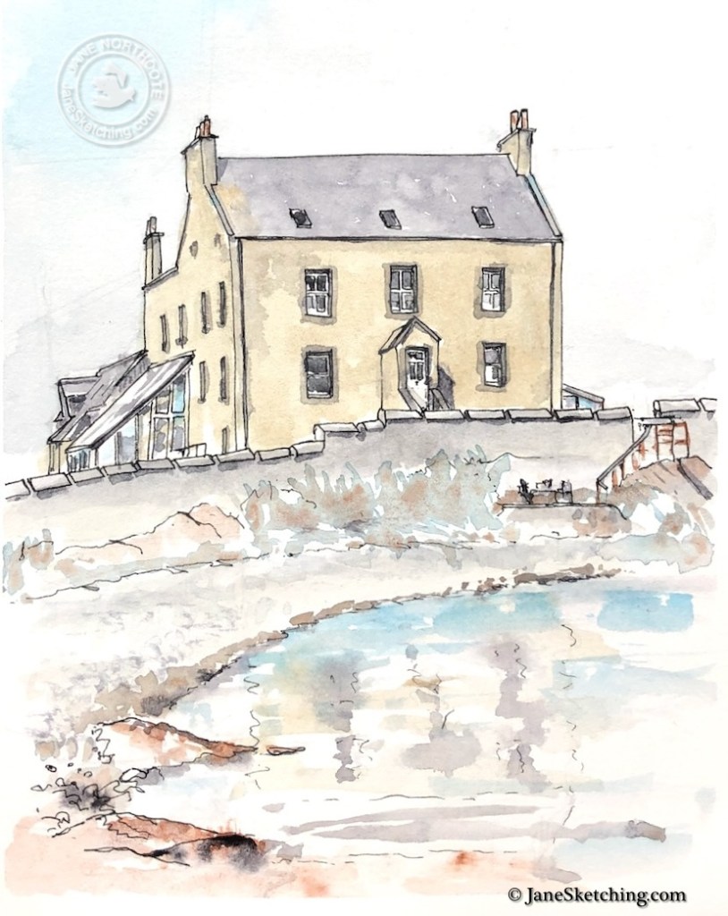
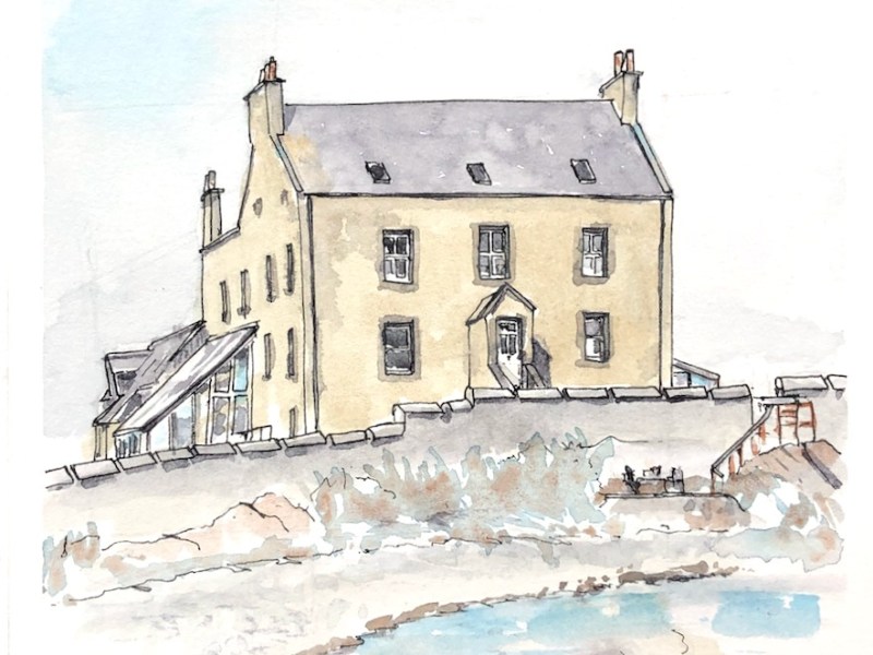
Here are some drawings at Burrastow House, near Walls, on the West side of Shetland. In previous years I have sketched the front of the house from across the bay:

Burrastow House sketched 2020

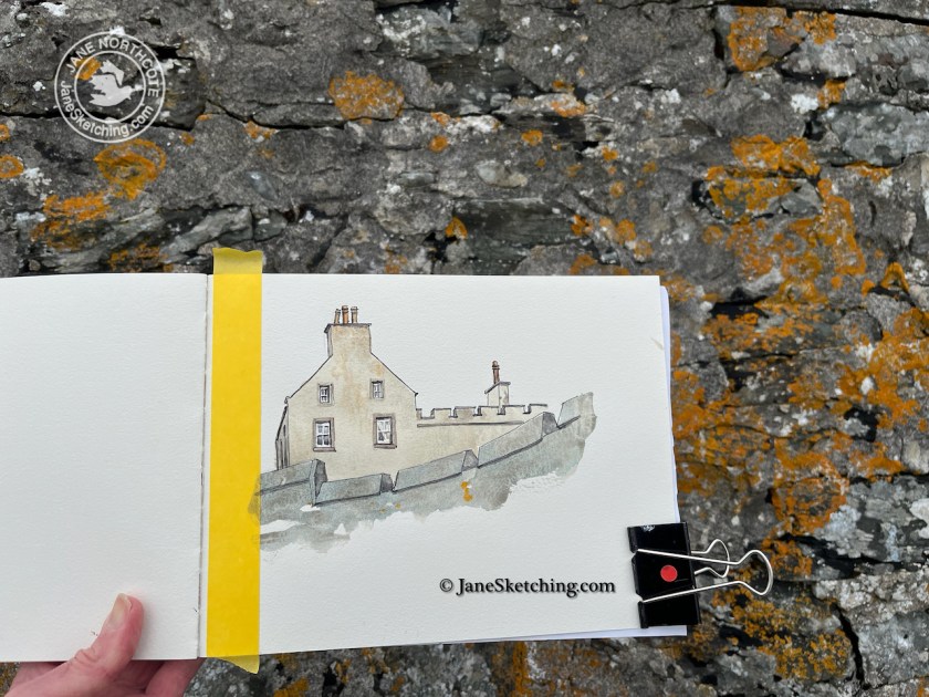
To the right of this drawing is a beach. You can look up at the house from the beach:

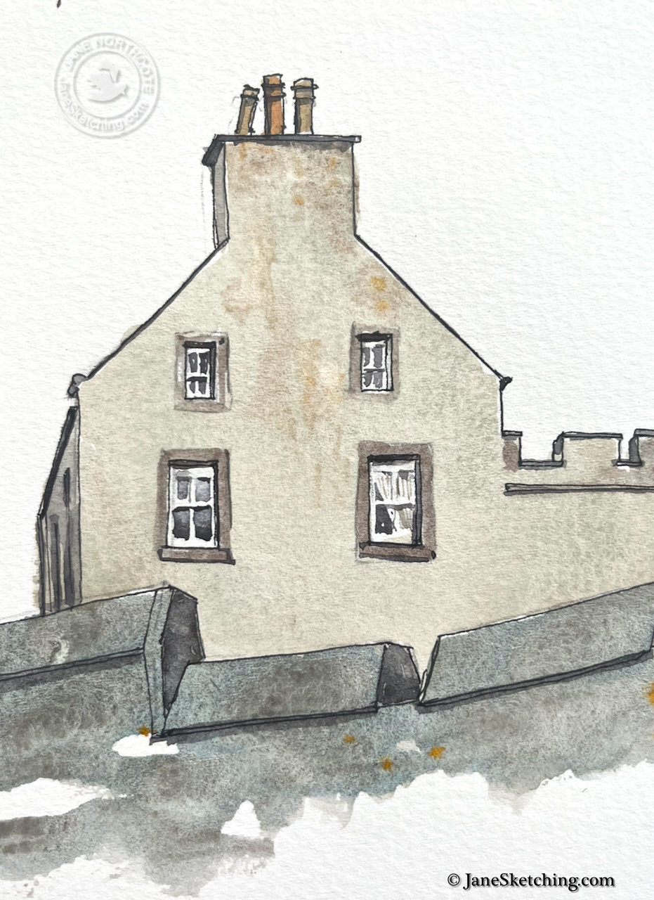
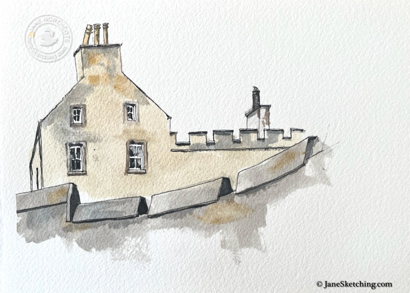
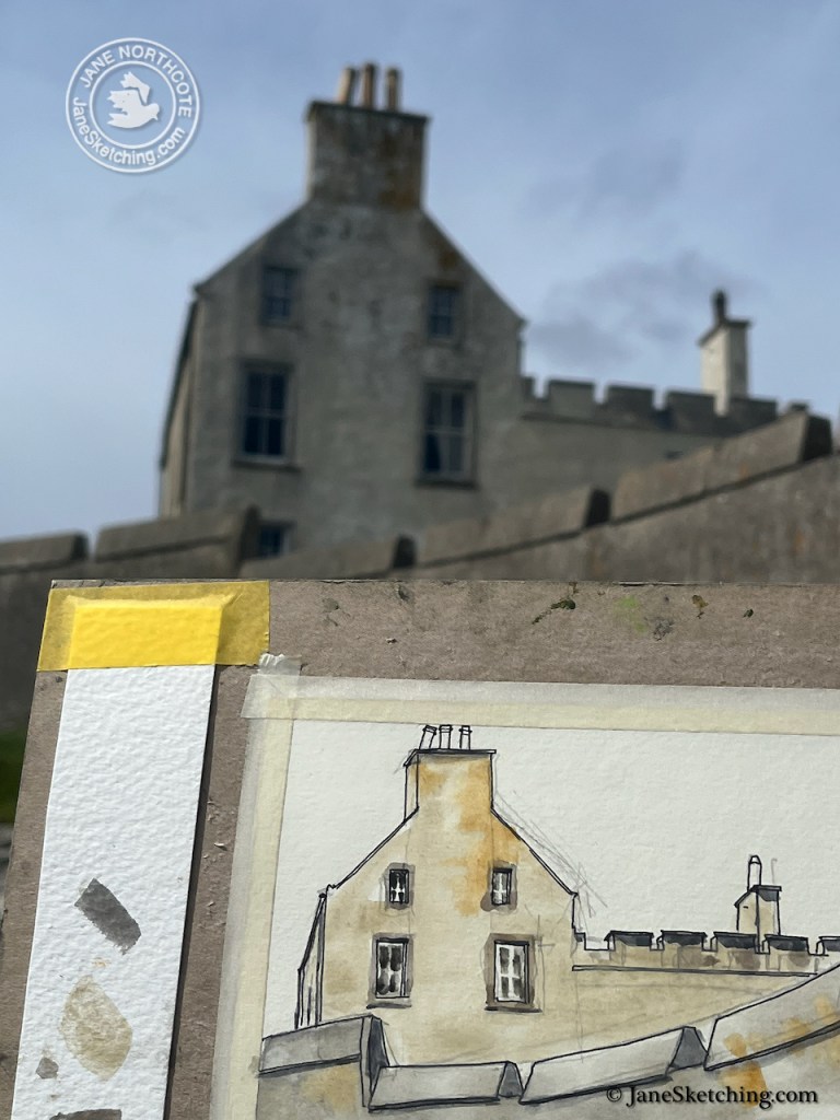
The wall has lichen.

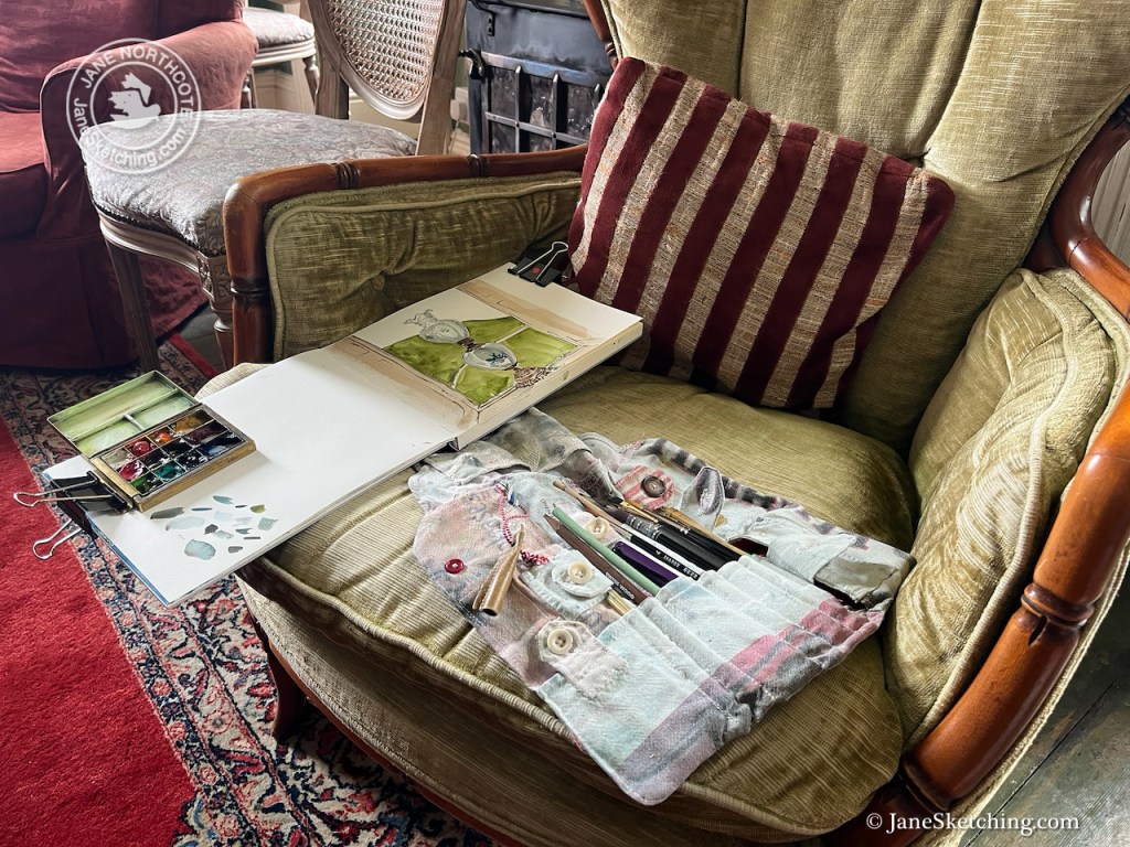
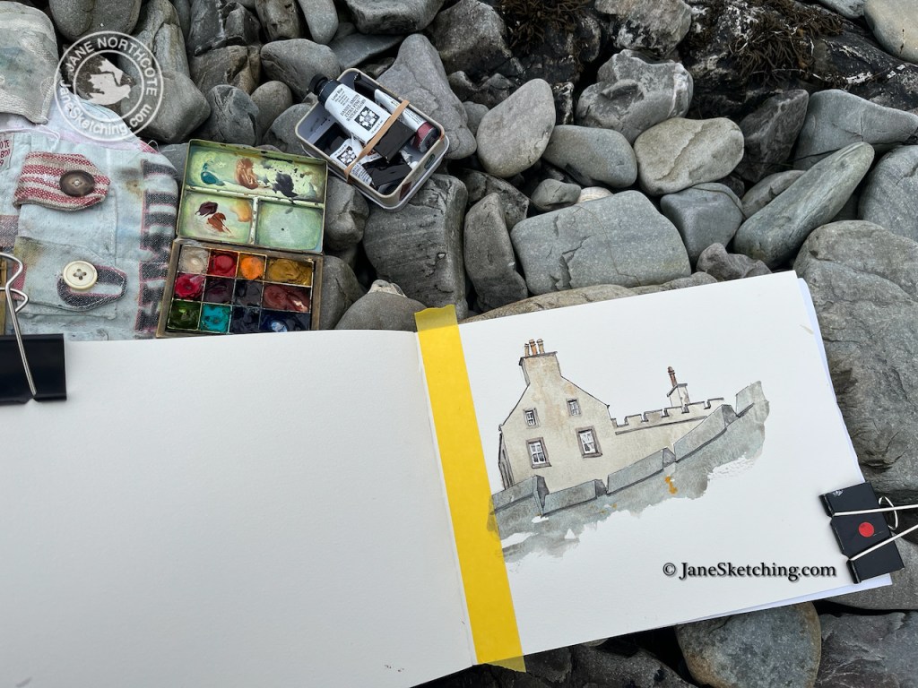
The yellow stripe down the sketchbook edge is masking tape. I remove it when the drawing is done so that there is a clean edge.

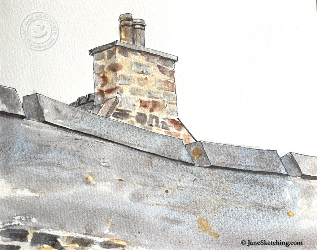
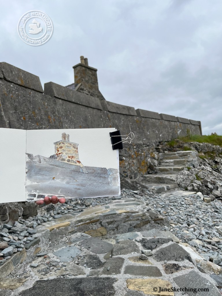
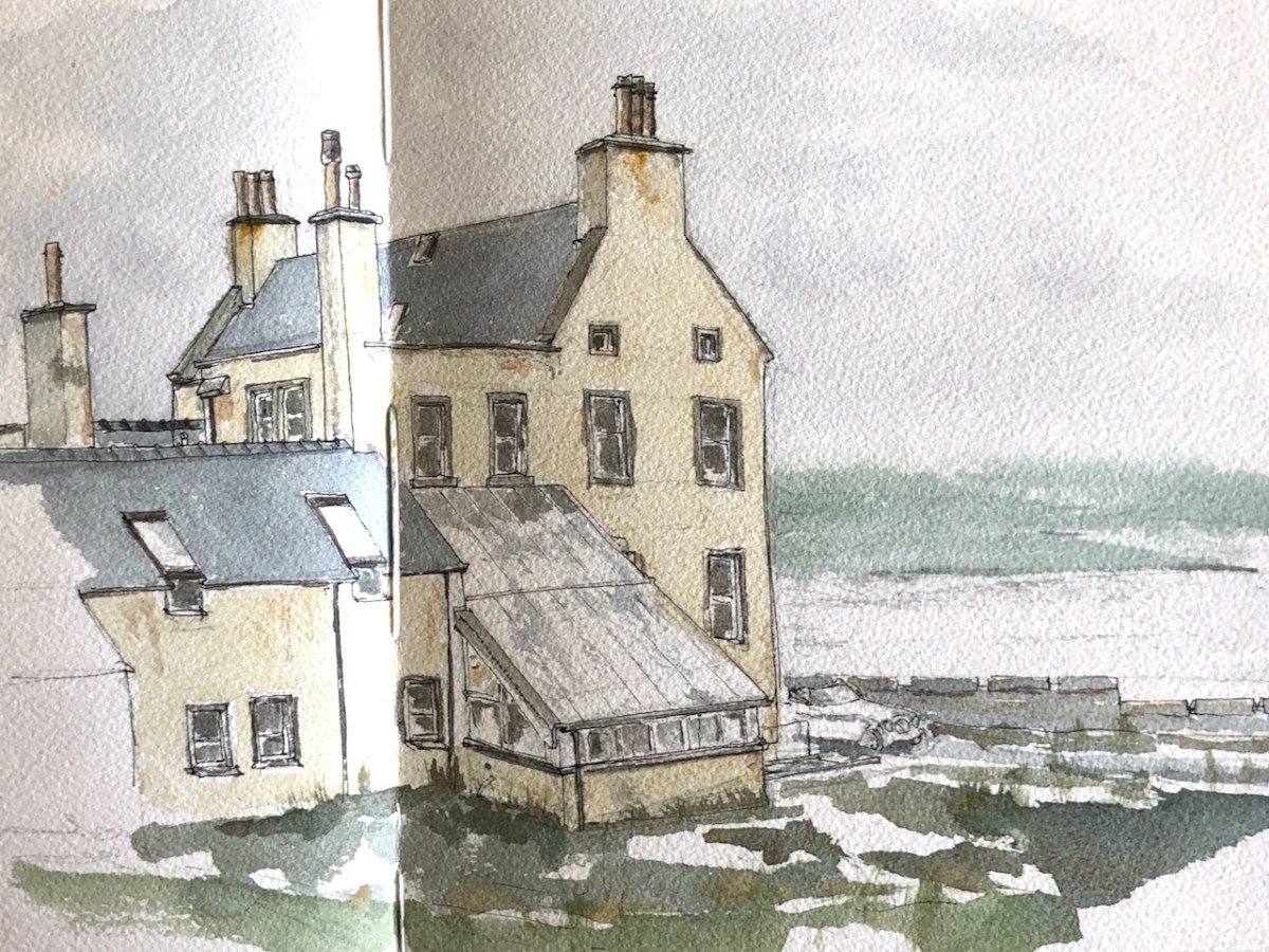
Looking the other way you see the edge of Burrastow Cottage.

While I was drawing on the beach, a man arrived, walking on the seaward side of the wall. After a brief chat, he continued on up those steps shown in the photo. He was walking the entire coast of Shetland. So he went along the shore and around the promontory. He was very thorough, and very determined.

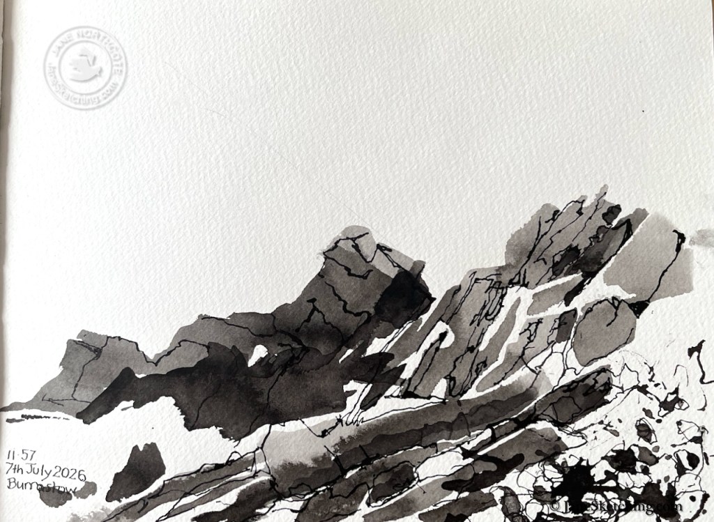
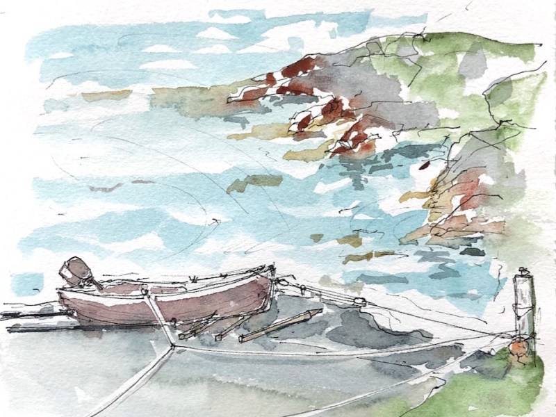
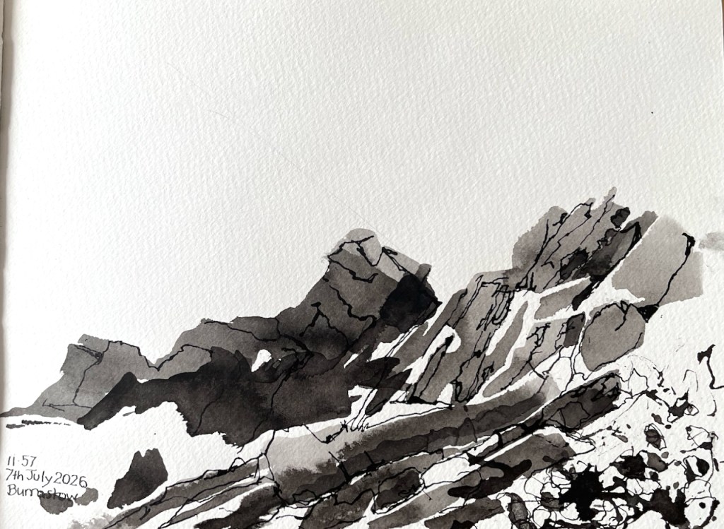
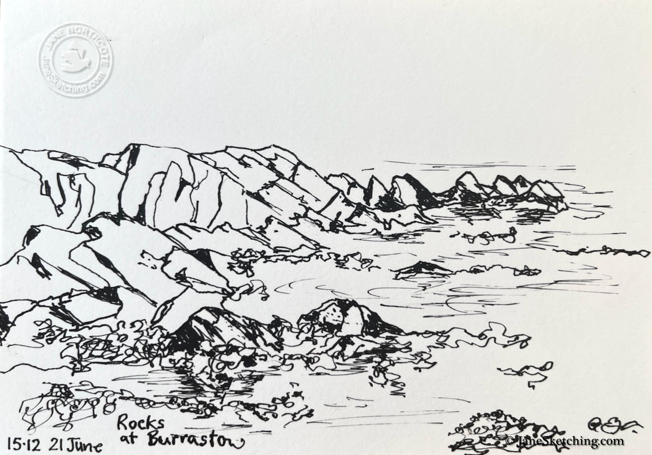
Here are rocks, looking to sea from the same point on Burrastow beach. The man walking the coast of Shetland had been scrambling over such rocks.

Rocks at Burrastow – pen and ink

It’s a lovely spot. I have sketched at Burrastow before:

Burrastow and the bay

Here’s a view of Burrastow House, Walls, Shetland, as you enter the drive. There was a lively wind. Those clouds…

…more

Sketching in Shetland 2026 (Part 1)

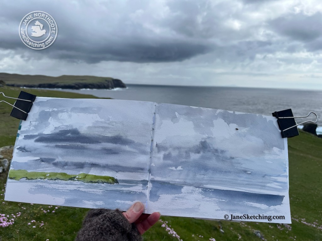
Oh how wonderful to be on the clifftop sketching the changing sky!

13th June 2026, Littlure

That sky contained rain. It came down and made a contribution to my picture.

13th June 2026, Littlure, rain on the page.

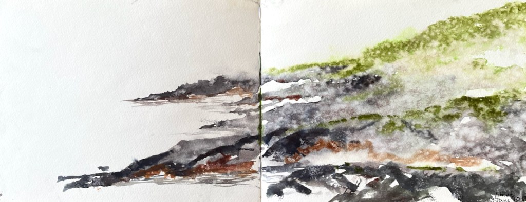
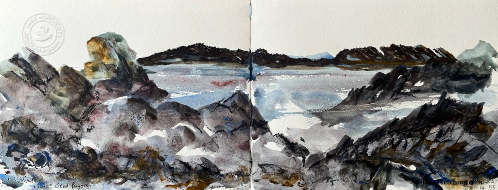
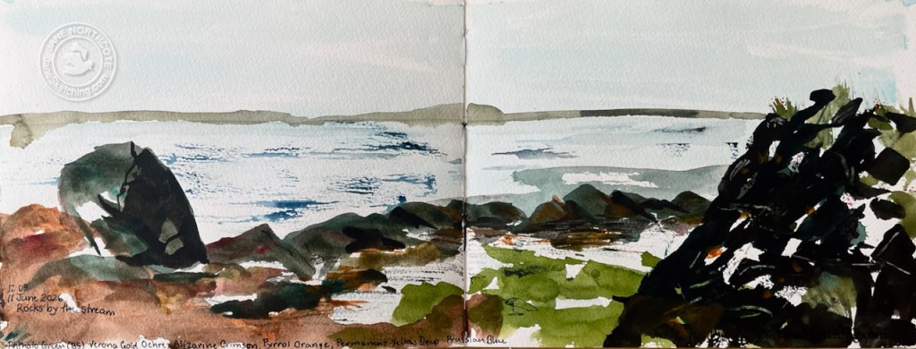
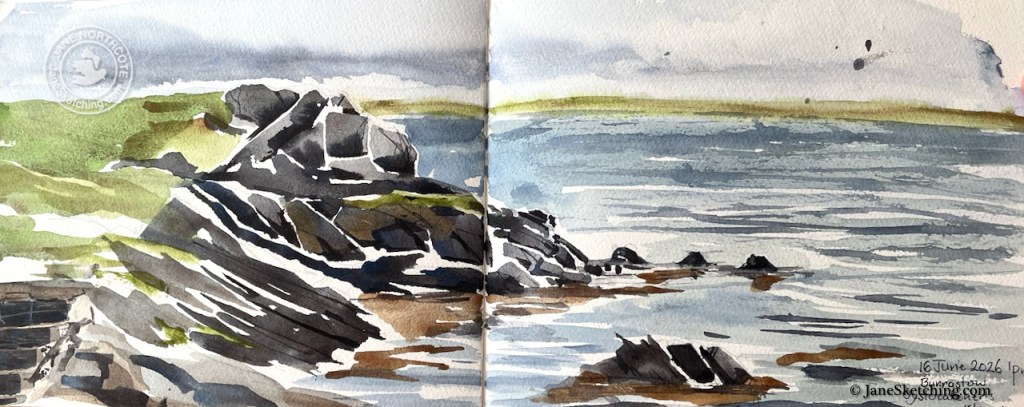
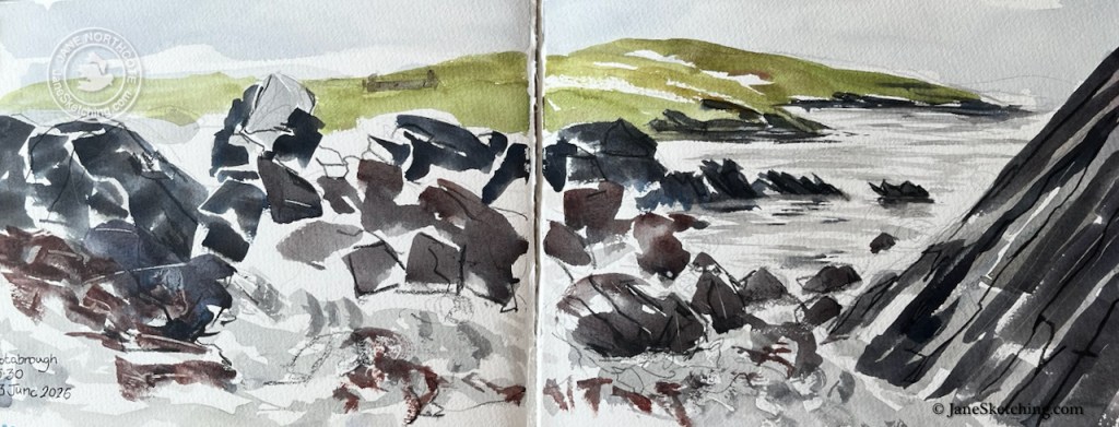
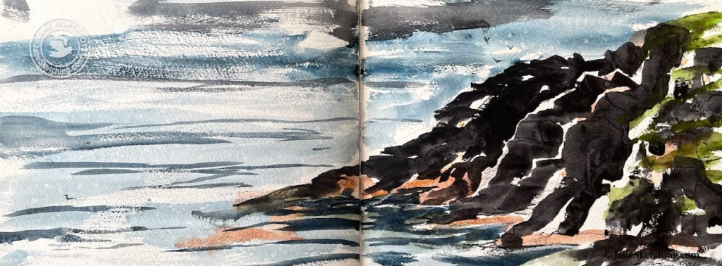
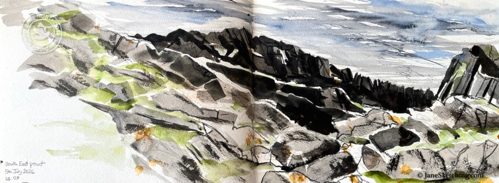
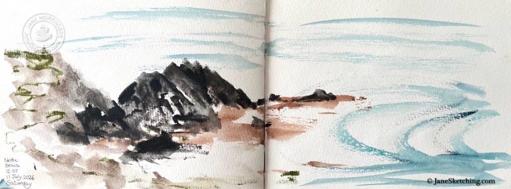
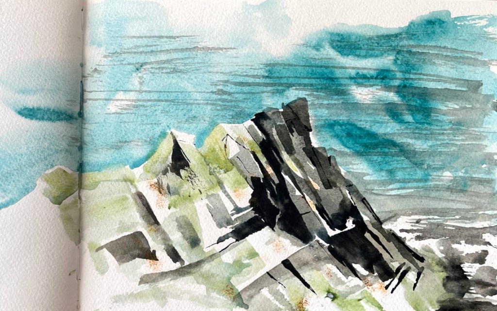
I made a lot of sketches of rocks. Here are eight sketchbook pages in a slideshow. (It might not play on a mobile device.)

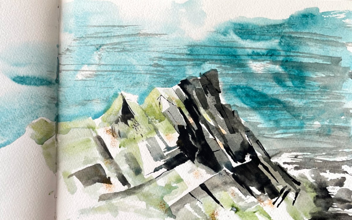
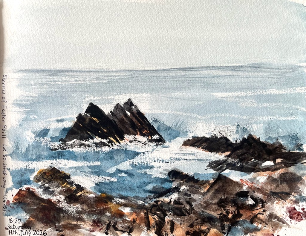
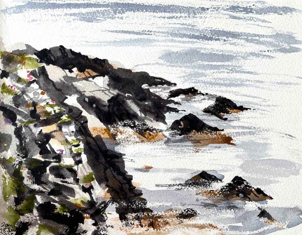
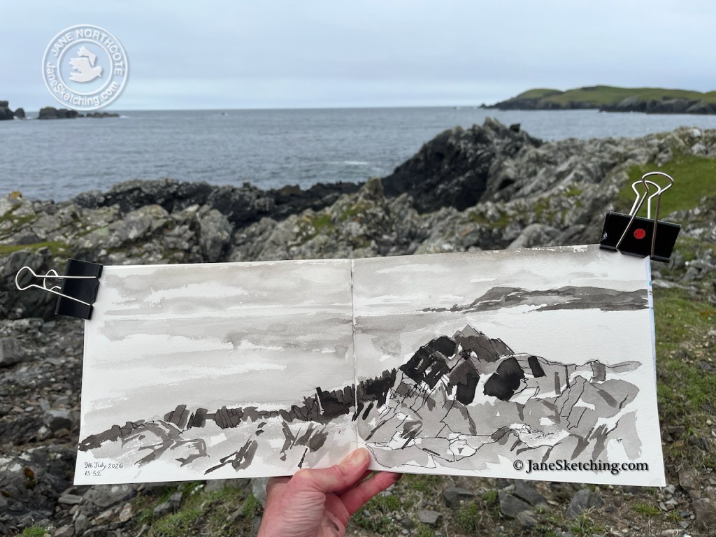
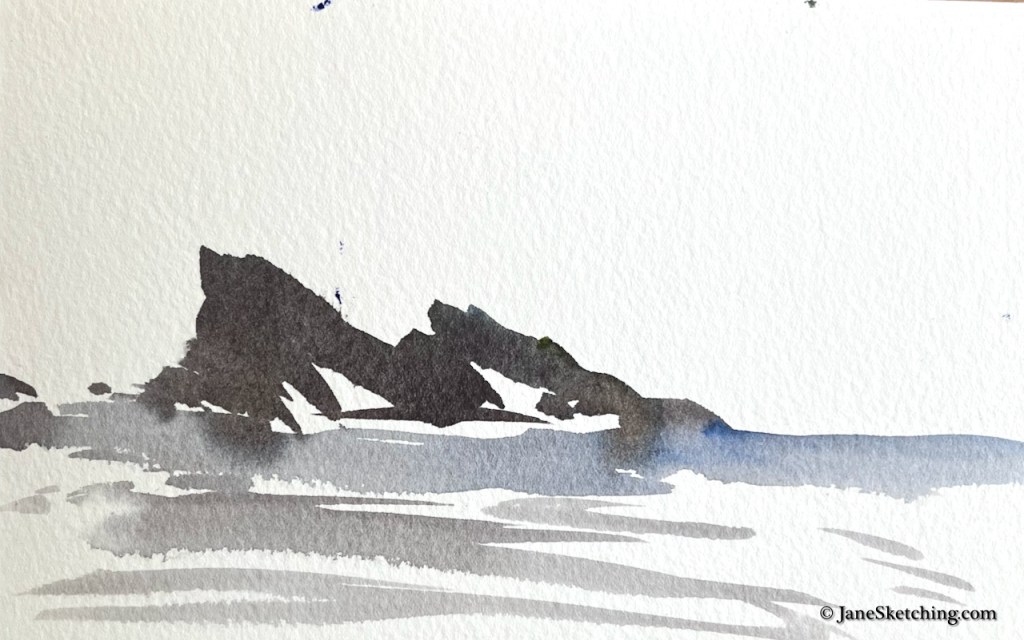
The rocks on the West side of Shetland have angles and points. I particularly like the purity of shape of these rocks: the Skerries of Easter Pail. They are almost exact equilateral triangles.

Skerries of Easter Paill: Latitude 60.21449 Longitude 1.64251 OS reference HU 19912 47846

Here are more rocks, all showing the distinctive angle, about 60 degrees.

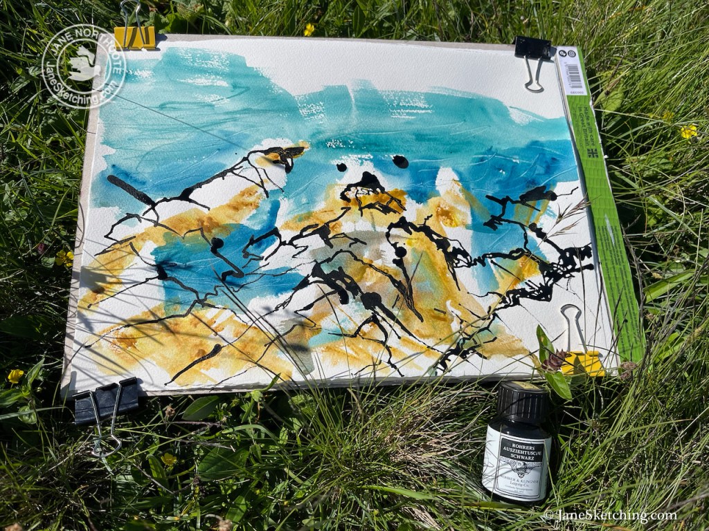
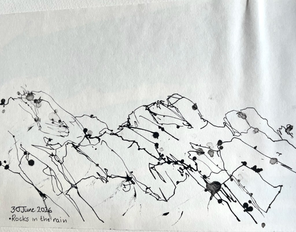
On this visit, I tried a new medium: dip pen and ink.

The ink is Rohrer & Klinger “Auszeihtusche Schwarz”

The ink is Rohrer & Klinger “Auszeihtusche Schwarz” which means (I think) “drawing ink, black”. German speakers out there, please offer a better translation? It is highly pigmented, waterproof, permanent, shellac based, and for dip pens only. In the picture above I used it with an amazing bamboo pen supplied by L Cornelissen & Son. Great fun. The picture above is large by my usual standards. The ink took a surprisingly long time to dry, then rain started and I rushed back, trying to shield the picture under its cardboard drawing board. I had more than one such sheet and they flapped like flags. Needless to say the highly pigmented ink got everywhere: on my raincoat, on my hat (how???).

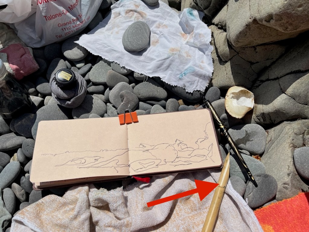
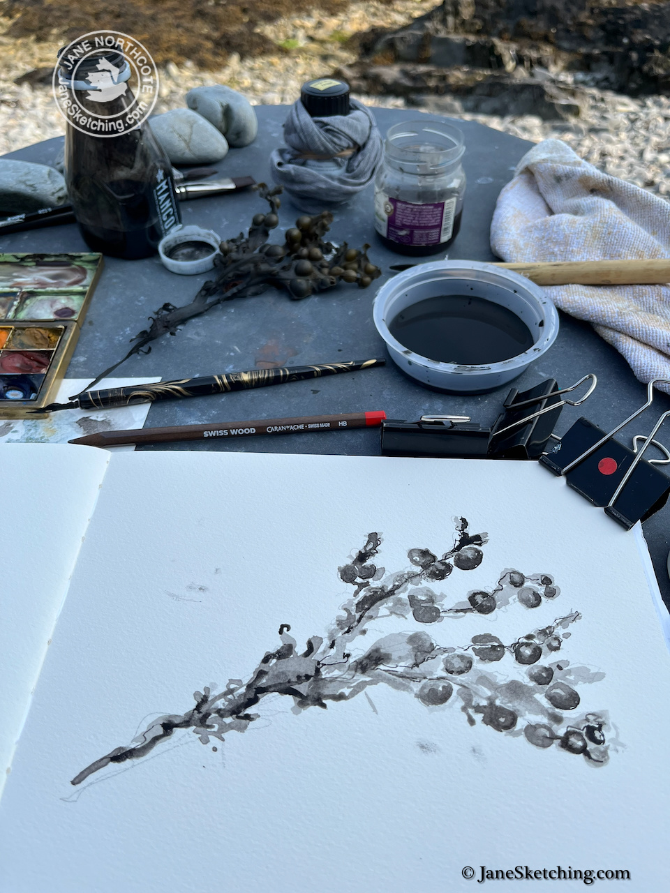
Here’s the bamboo pen under calmer conditions. As you see I have now learned to wrap the bottle in a cloth to catch drips, and to label it clearly, so it doesn’t get confused with fountain pen ink which is in a similar bottle.

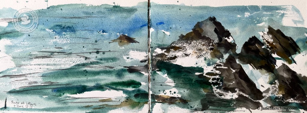
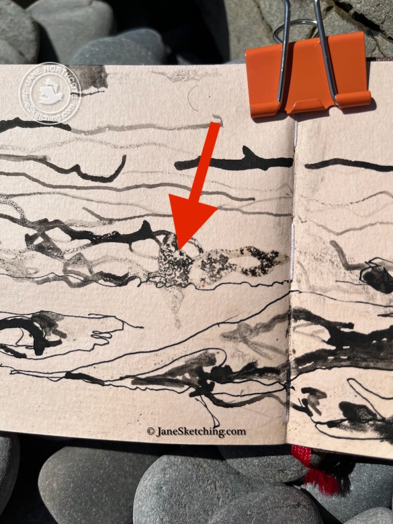
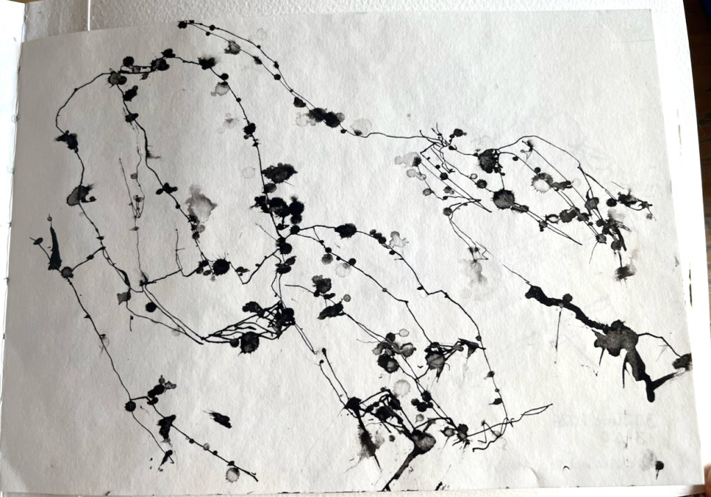
This was a warm day after a refreshing dip in the sea. I drew some pictures of the rocks. I used sea water to dilute the ink. This produced some interesting effects.

You see how the shellac-based ink interacted with the sea water to make little dots and swirls, a pleasing effect.

Here are some more pictures done in this ink, undiluted, and diluted with fresh water.

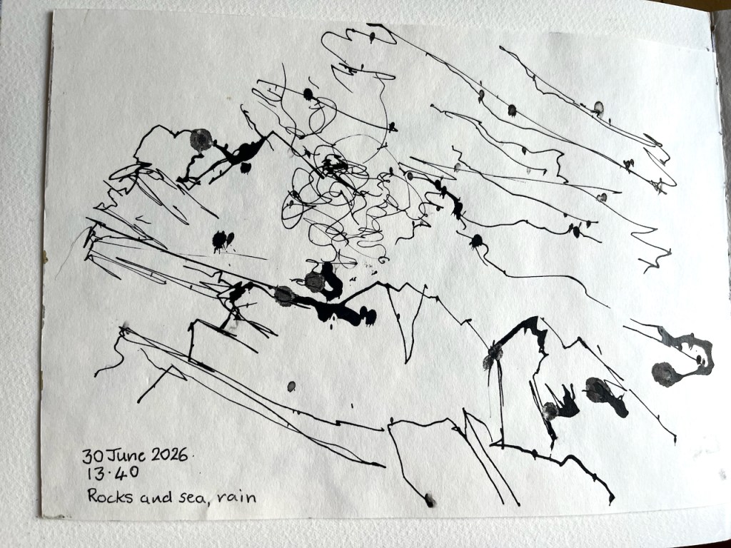
This ink is waterproof, but only *after* it has dried. This is sometimes a challenge in the Shetland climate. Here are some rock studies, with contributions from the rain falling on wet ink.

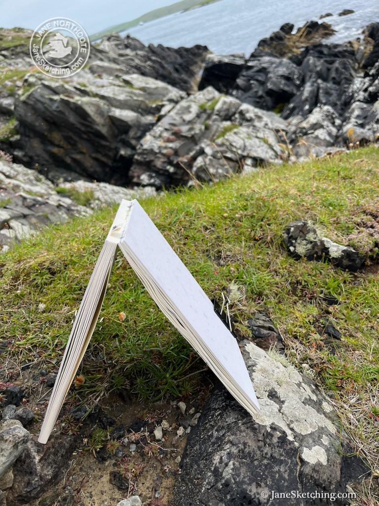
I tried to protect the drawings by turning the sketchbook into a sort of tent.

I enjoyed this new medium and the high-contrast effects I could obtain.

Rocks, diluted and undiluted drawing ink.

In the next post, I will show sketches of Burrastow House, on the West side, near Walls.

Sketch and Sail 2026 – Shetland

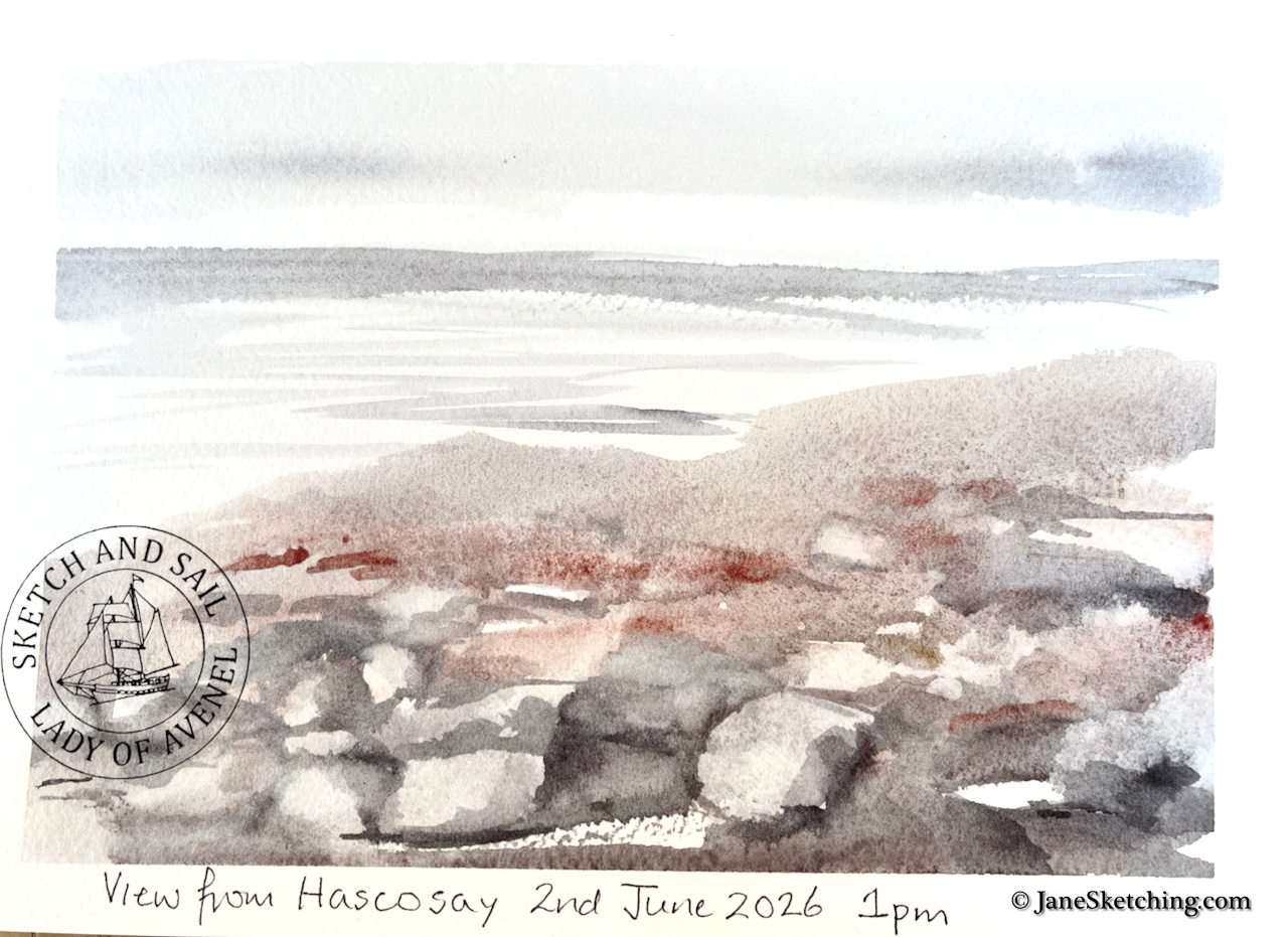
I love boats, and the sea, and I draw pictures. So I found myself in the company of an enthusiastic group of artist-sailors, on board the Lady of Avenel, in Lerwick in Shetland, about to set off for a week’s sketching and sailing.

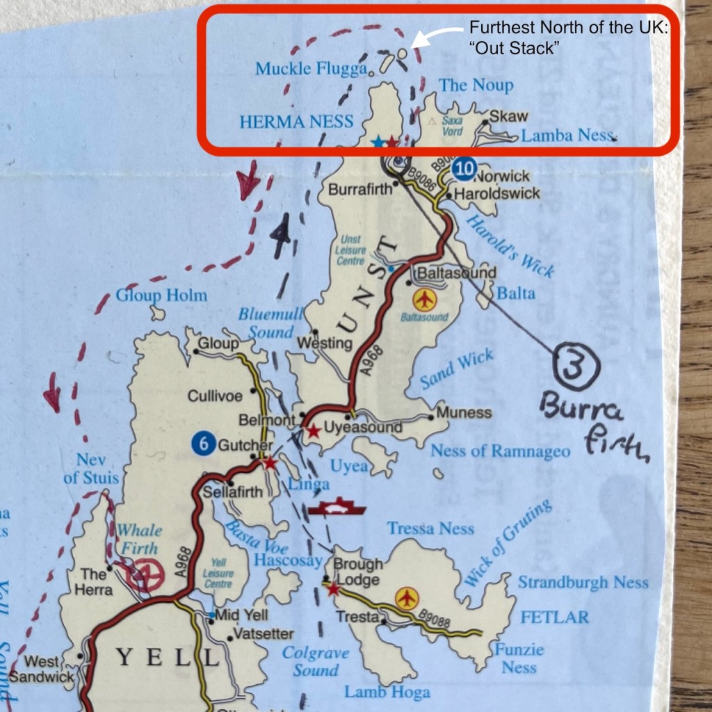
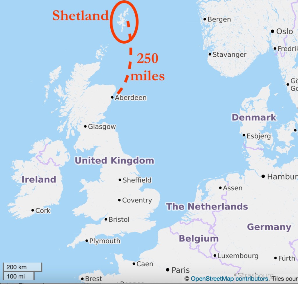
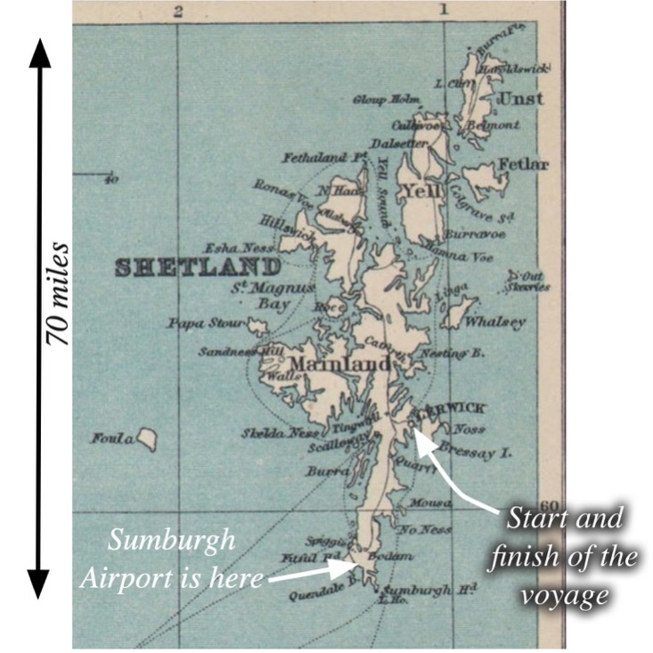
Shetland, for those who are a bit hazy about it, is a group of islands 100 miles or so off the North coast of Scotland. It is part of the UK. Our voyage took us to the most Northerly part of the UK, and I swam at the most northerly beach. But that was later. We set off from Lerwick, which is about half way up the biggest island of the Shetland group.

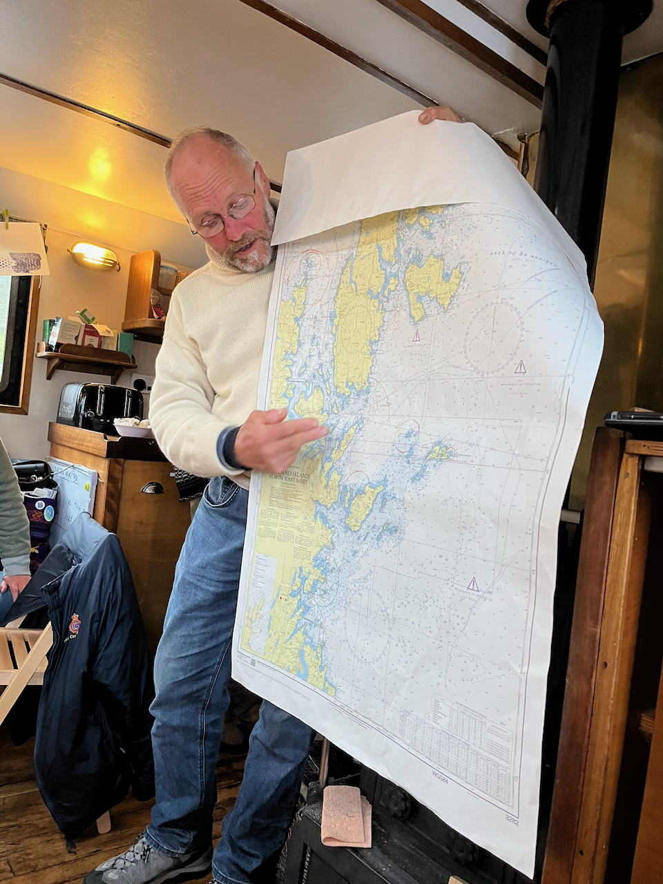
Our voyage took us up the east side of the islands, between the islands of Whalsay, Yell and Unst, and up to the most Northerly lighthouse, Muckle Flugga.

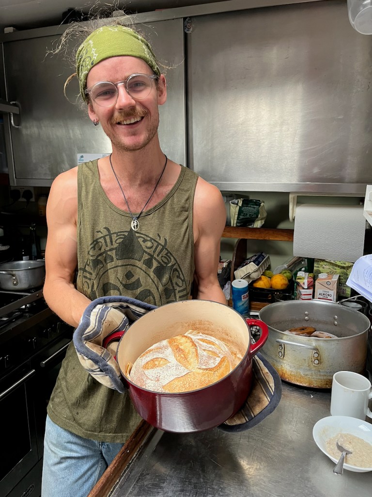
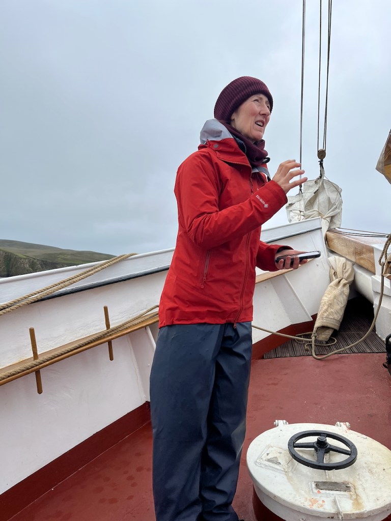
We had a full professional crew: Charles the skipper, Nessie the mate, Tom the cook, and Lyn the second mate.

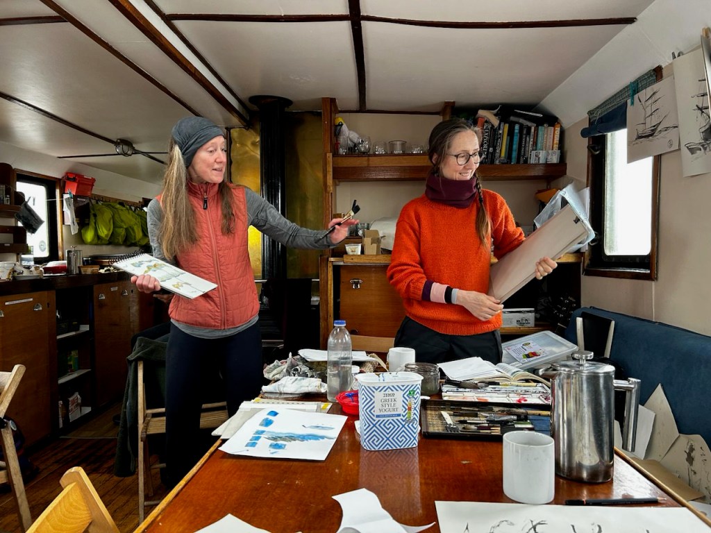
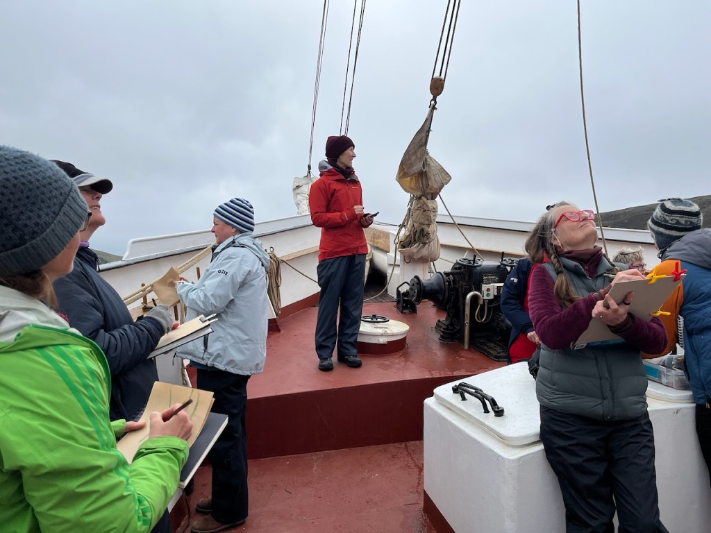
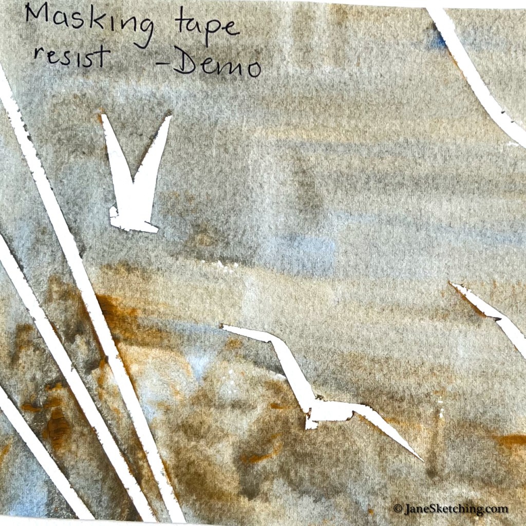
Alice and I were leading the art workshops. We did colour mixing, painting sea and sky, brushmarks, colour layering, distance, and all sorts of exercises and experiments with techniques appropriate for the landscape.

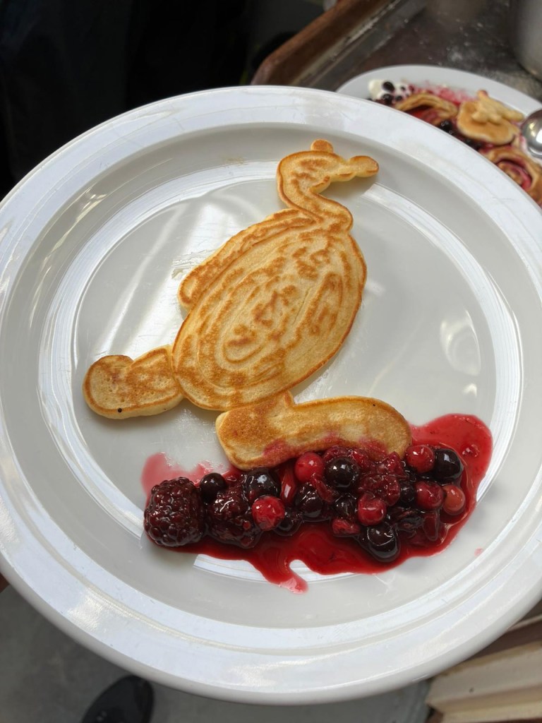
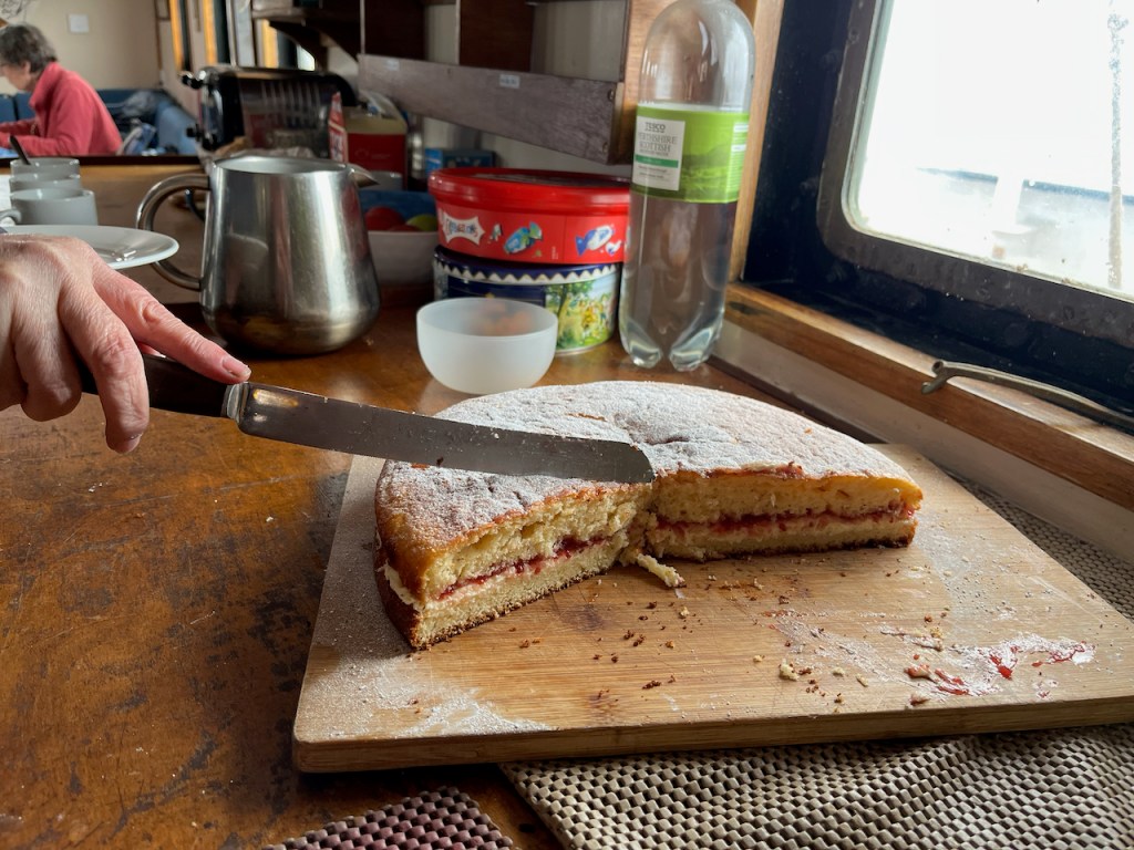
It was a lot of fun, and everyone was very productive. The cook Tom was inspired to produce art too in his special medium. He produced amazing “pancake art” in addition to all the other meals and cakes. His cooking was an outstanding creative production.

If you also are inspired (by the sketching, the sailing …or the cake…) and would like to join such a voyage, have a look at the “Lady of Avenel” site: https://www.ladyofavenel.com/sketchandsail

I filled a sketchbook with drawings. Here’s a quick video:

Sketchbook flick-through (36 seconds – no audio) (video may not play on mobile version)

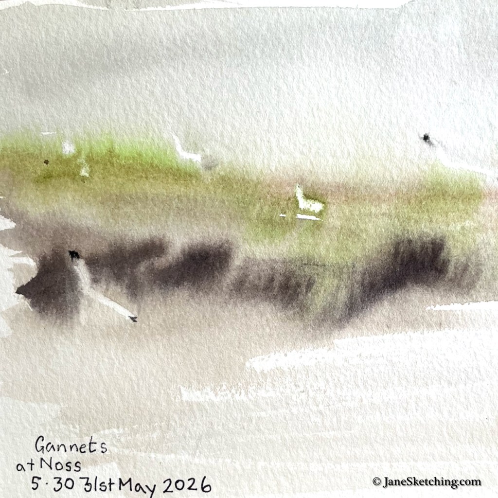
On the very first day, our skipper steered us up to the cliffs of the island of Noss, so we could have a go at sketching the seabirds.

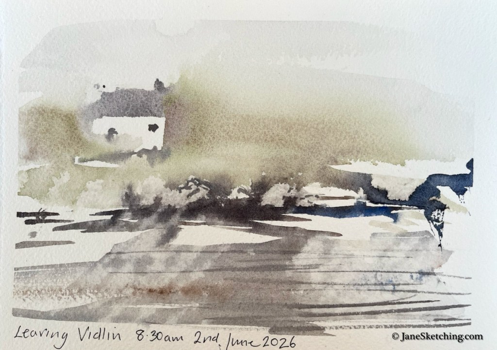
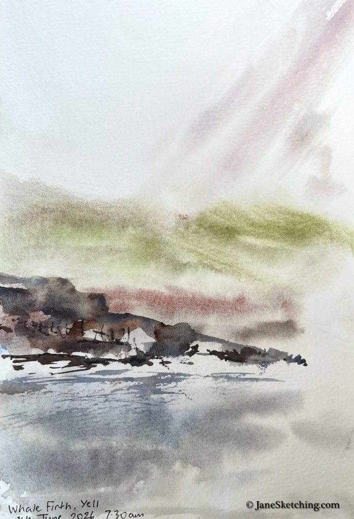
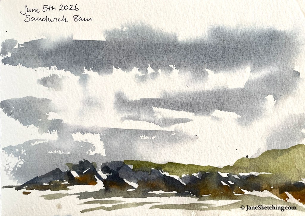
On some days there was fog. It’s possible to paint in the fog. It produces amazing atmospheric effects.

This is a particular Shetland phenomenon: when you look horizontally you see fog, but the light from above is still bright, and seems to make the fog glow. Here’s another fog painting.

The wind soon blew the fog away. Shetland is famous for its wind, and we were on a sailing boat.

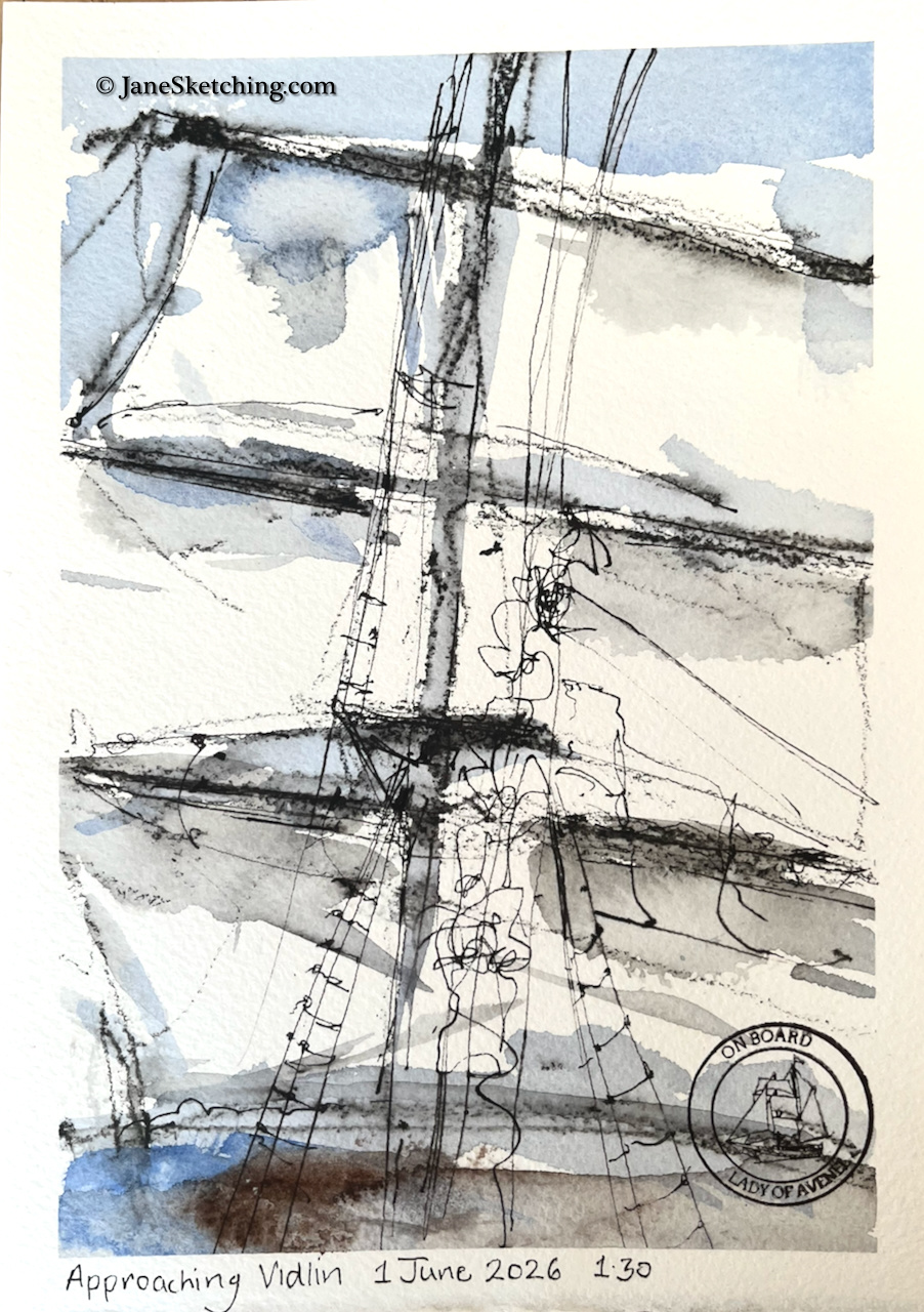
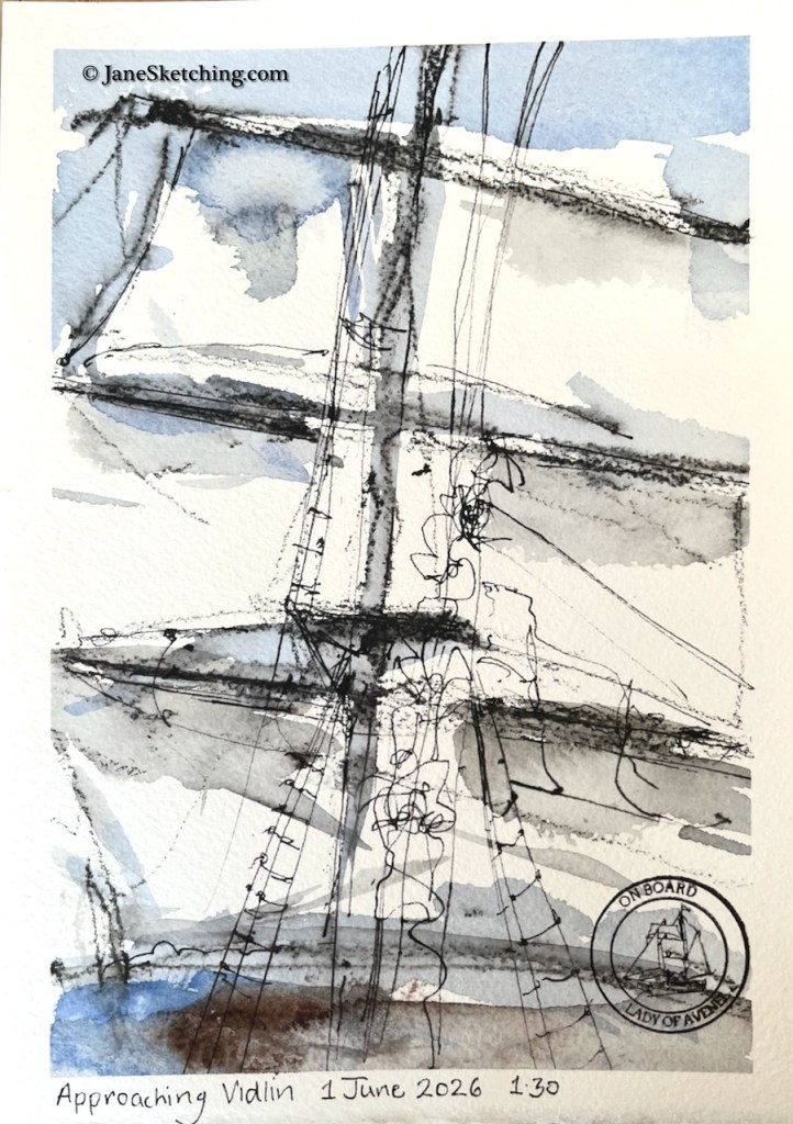
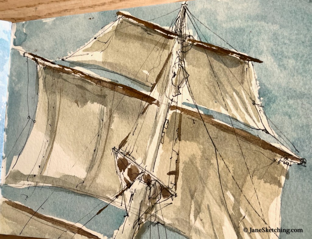
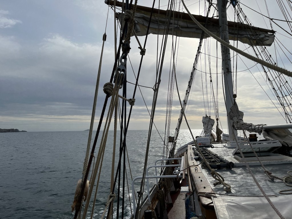
There are a lot of ropes to control those sails. I couldn’t get them all in. It’s a challenge to do these sketches on a moving boat – and of course the crew are trimming those sails all the time and shifting them about, and liable to take one of them down altogether, or put another one up. So you have to be quick. Perhaps a little accuracy is lost.

Alice ran a great workshop on speed sketching, which was just as well.

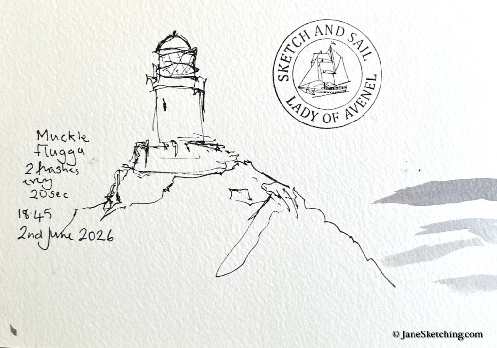
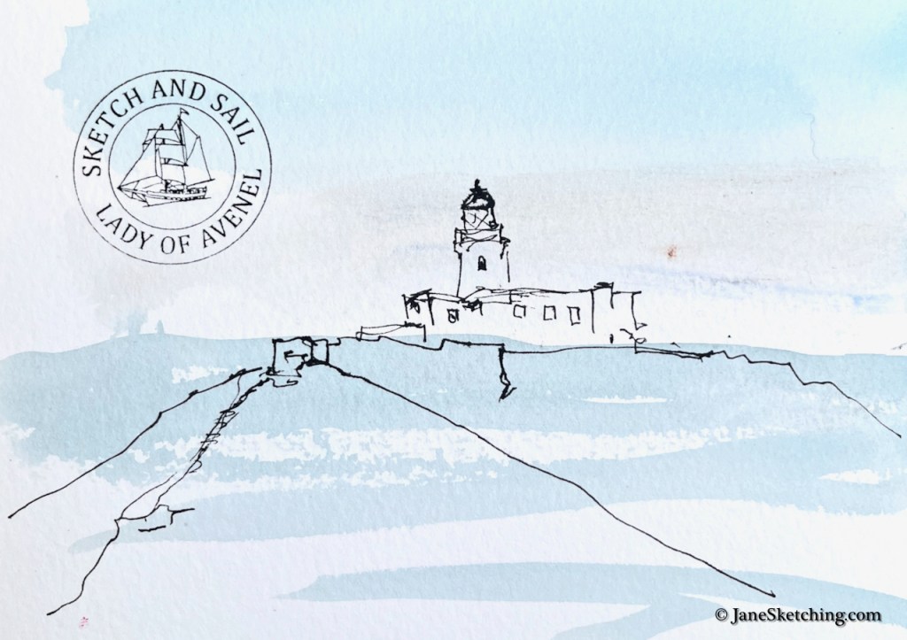
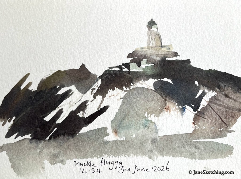
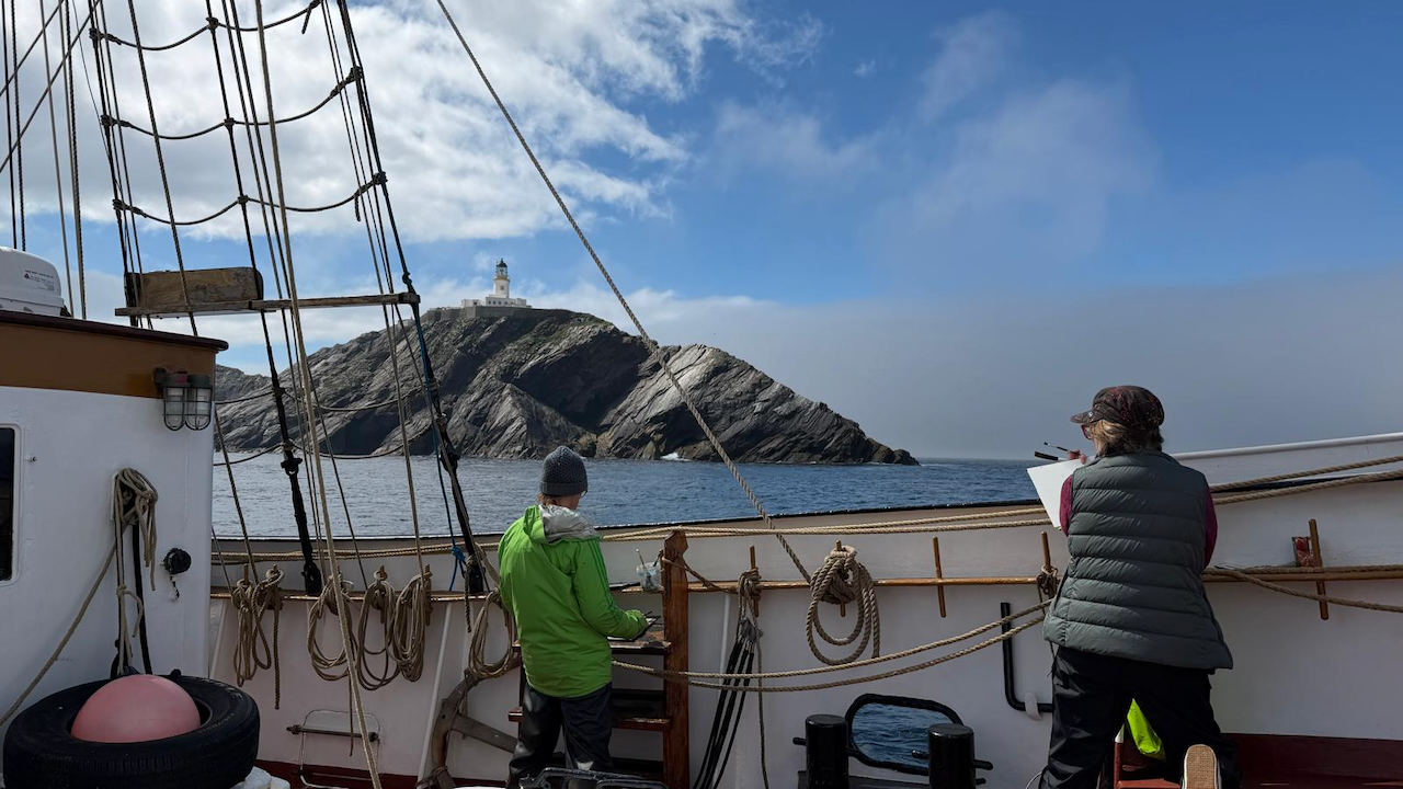
At the northern point of our voyage is the lighthouse at Muckle Flugga. Charles the skipper accepted our request to sail round in small circles so that we could have a good chance to sketch it.

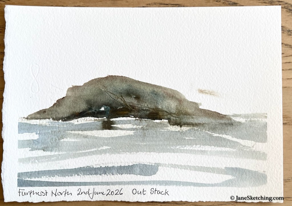
Even further north than Muckle Flugga is a little island: Out Stack.

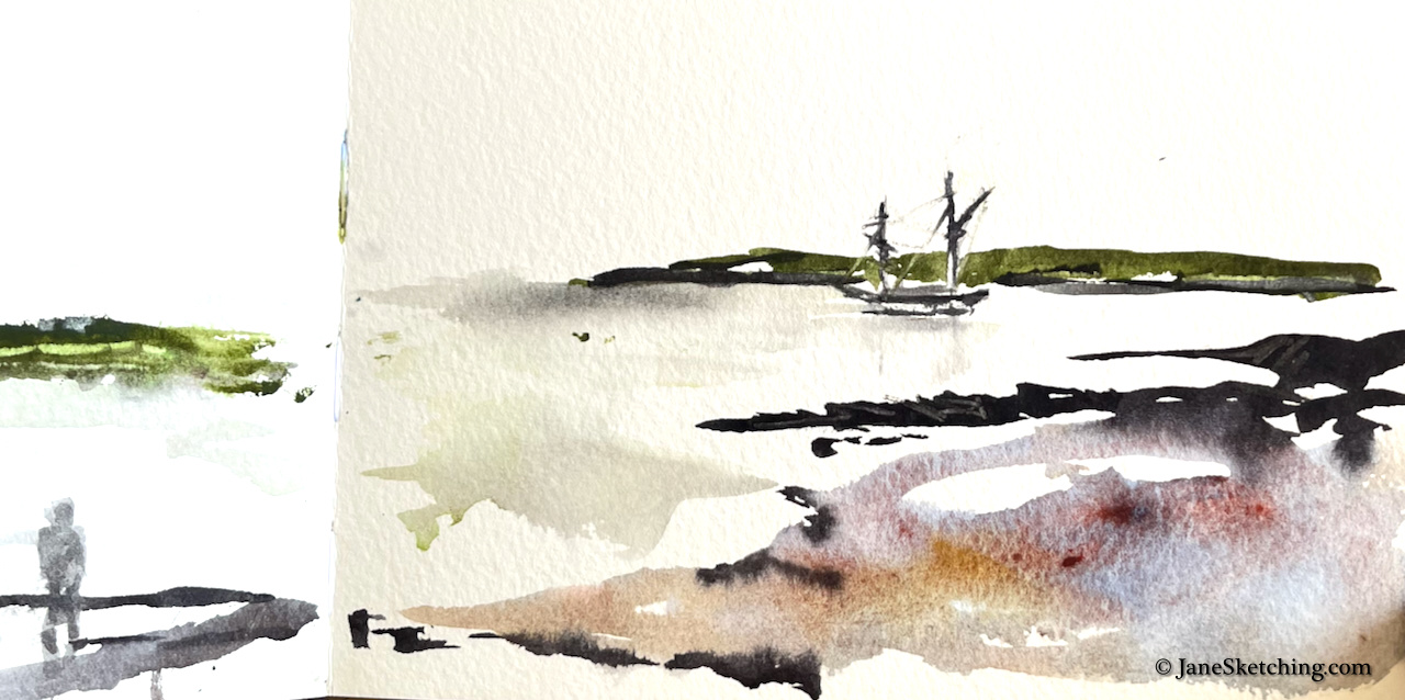
Here is what that furthest north point of the UK looks like:

Out Stack 60.8603°N 0.8741°W

We landed at some magical remote beaches.

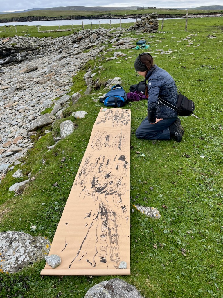
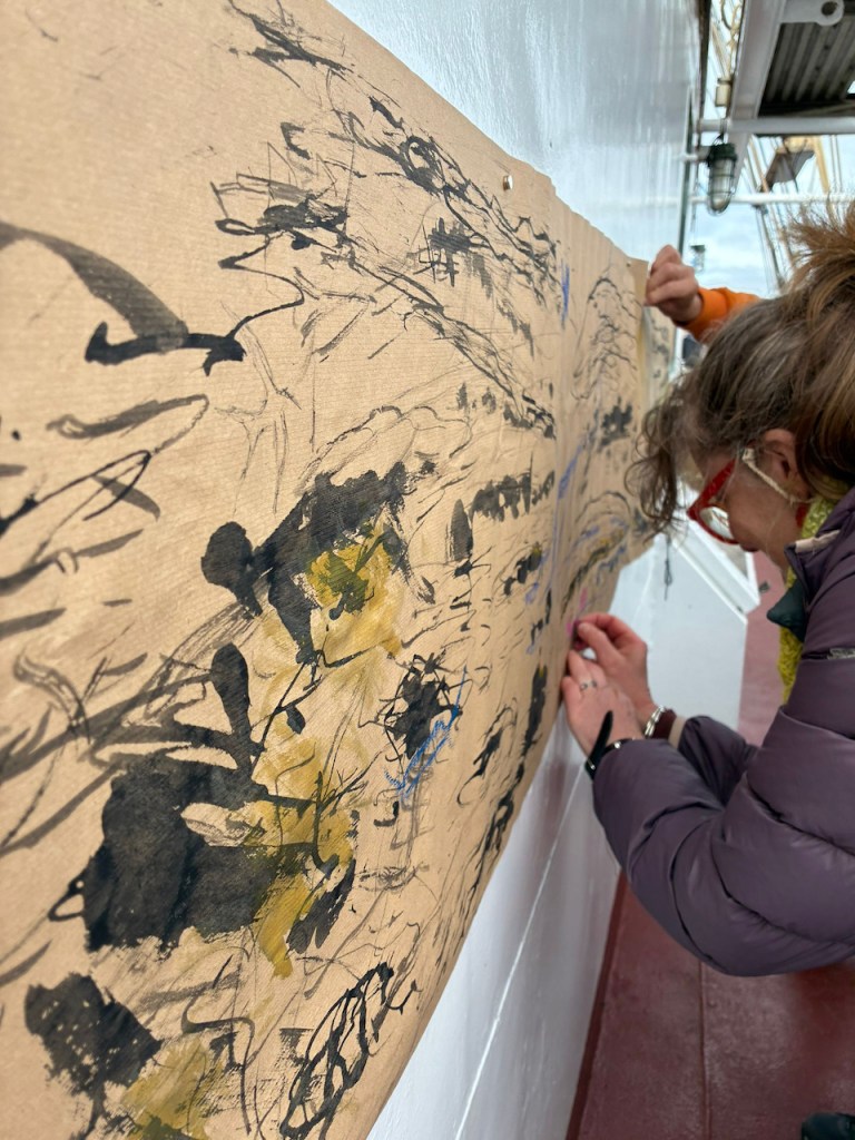
We made big pictures as well as sketches in sketchbooks.

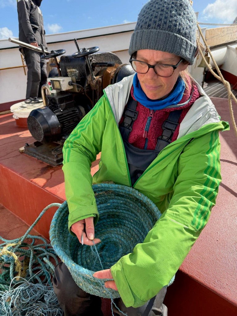
And not only pictures. Sam was making baskets using discarded rope waste found at the beach. (https://www.instagram.com/baskets_by_sam/

Sam and her basket (photo credit: Carol Paddison)

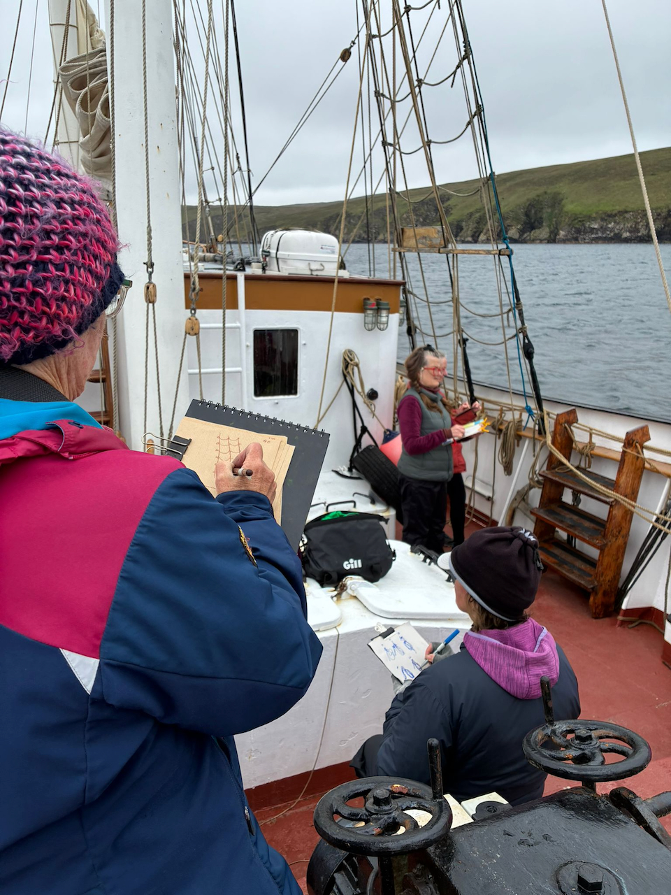
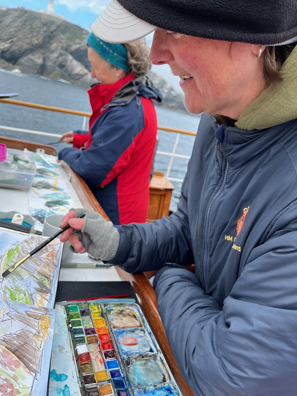
Everyone was sketching.

A wonderful voyage!

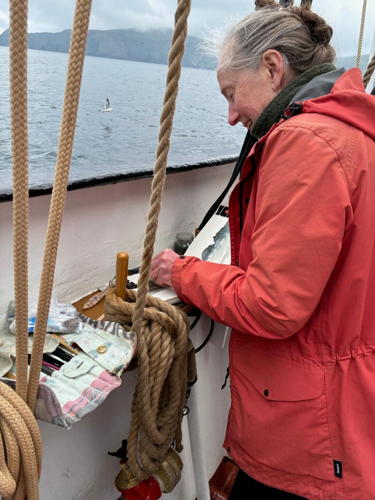
Me sketching on board (photo credit: Alice Angus)
Heading north on the the Lady of Avenel

With thanks to:

…and all the participants in the 2026 Shetland Sketch and Sail. Thank you for your enthusiasm, your inventiveness, and your companionship on the journey.