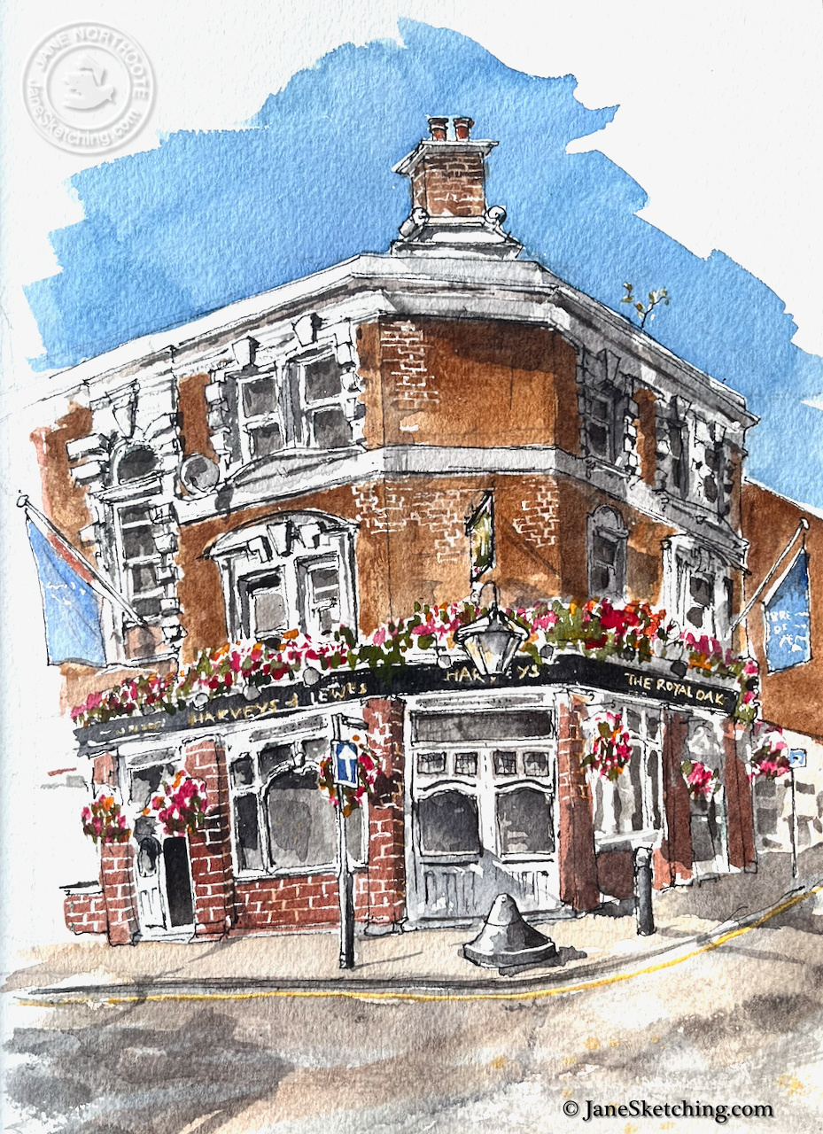
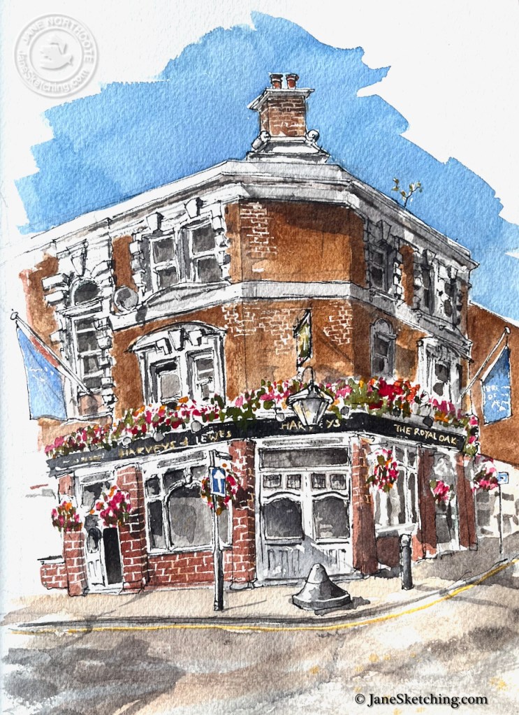
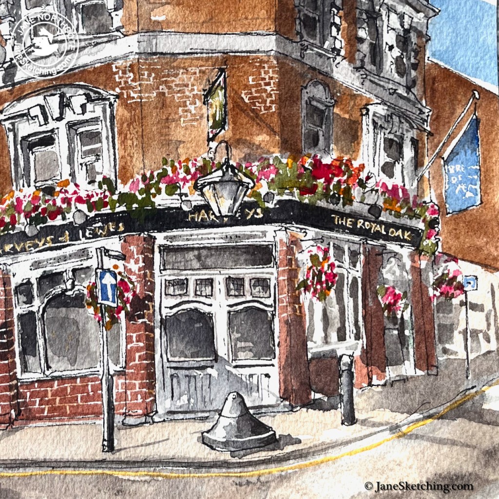
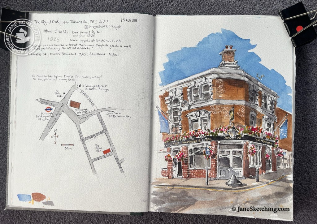
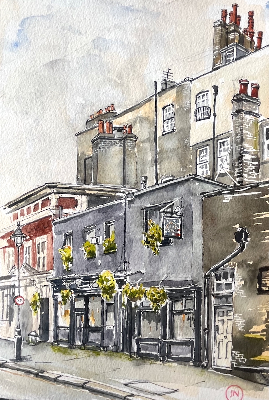
The Royal Oak Borough, 44 Tabard Street, SE1 4JU, sketched 25 August 2026 in Sketchbook 17
This pub serves Harvey’s beer and is listed in the Campaign for Real Ale (CAMRA) guide.
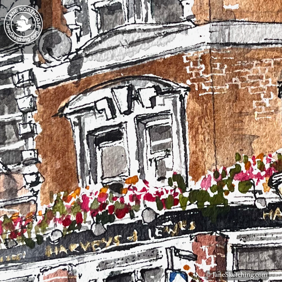
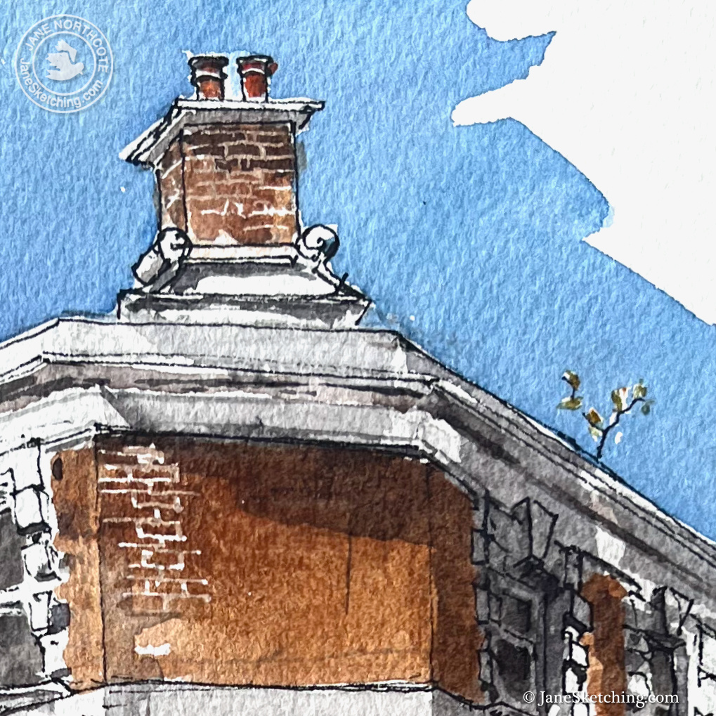
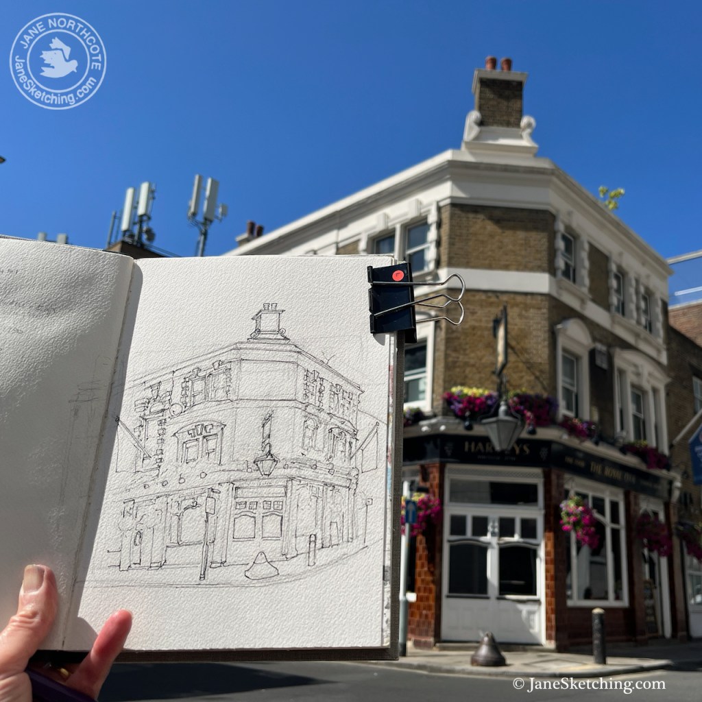
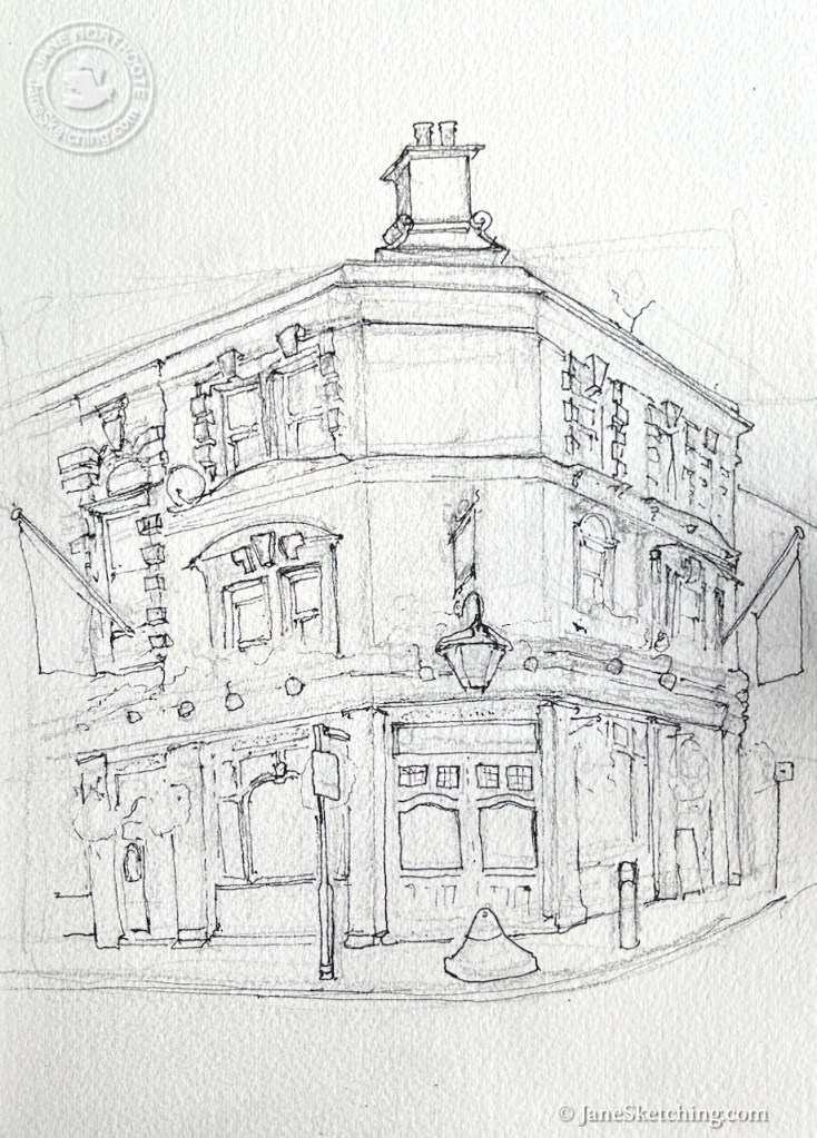
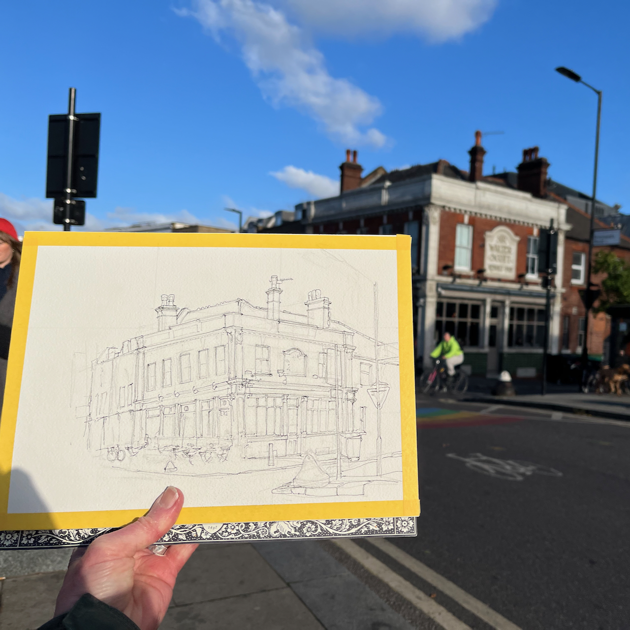
According to the landlord, the pub was built in 1825. The wooden bar inside is newer, but retains the old design. Outside there are fun Victorian architectural features. See the highly original “keystone” arrangement on the first floor window, and the flourishes around the chimney.
Keystone arrangementChimney with flourishesFront door and lamp
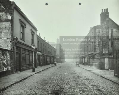
The chimney flourishes are useful because they enable the pub to be easily identified on old photos. See for example this one, which is in the London Picture Archive (click the picture to go to the London Picture Archive). The Royal Oak is the only building surviving from this 1913 view.
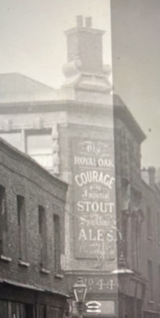
In that 1913 picture you can see the huge sign on the angle at the corner of the pub, advertising “Courage” ales. This was a Courage pub up to 19971 when it became the first Harvey’s tied pub in London.
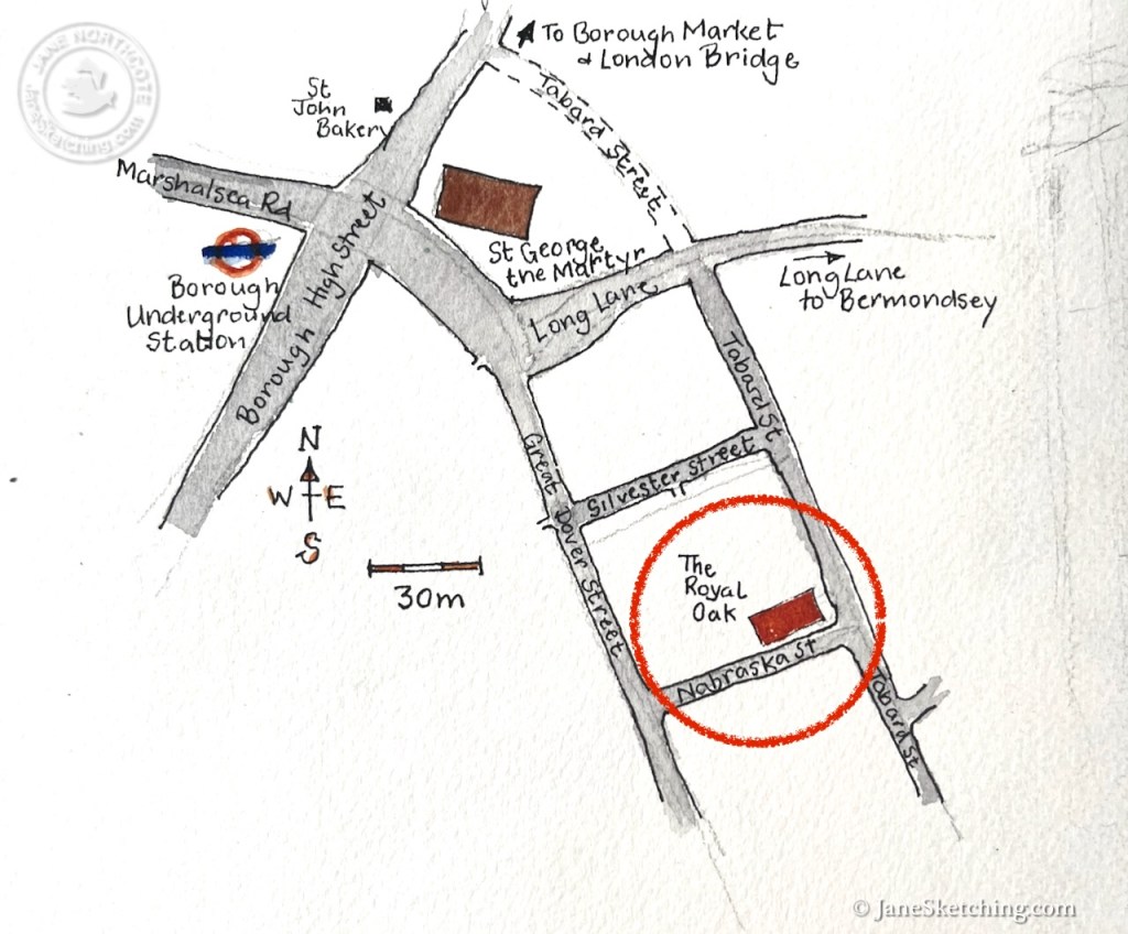
The Royal Oak is near Borough Underground Station.
Location of The Royal Oak Borough, near Borough Underground Station (Northern Line, Bank Branch)
As I was sketching, people walked past, deep in conversation.
Worldly wisdom: “Your options are limited without Maths and English Grade 4 or 5. That’s just the way the world works.”
And running. “He runs on his toes. Maybe I’m running wrong?” “No, bro, you’re not running wrong.”
It’s endlessly fascinating, just standing, looking and listening, on London streets.
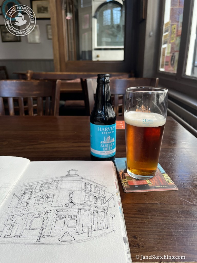
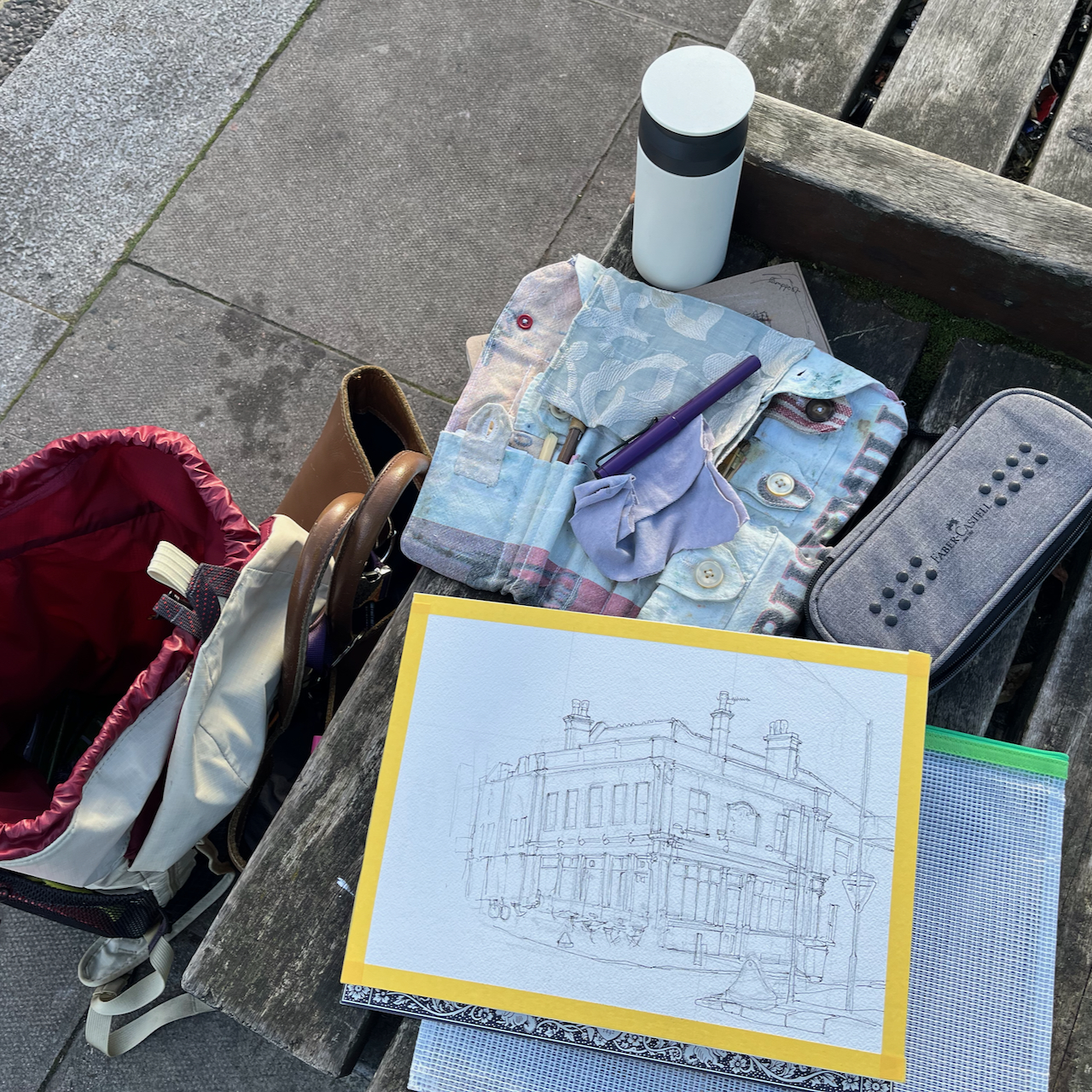
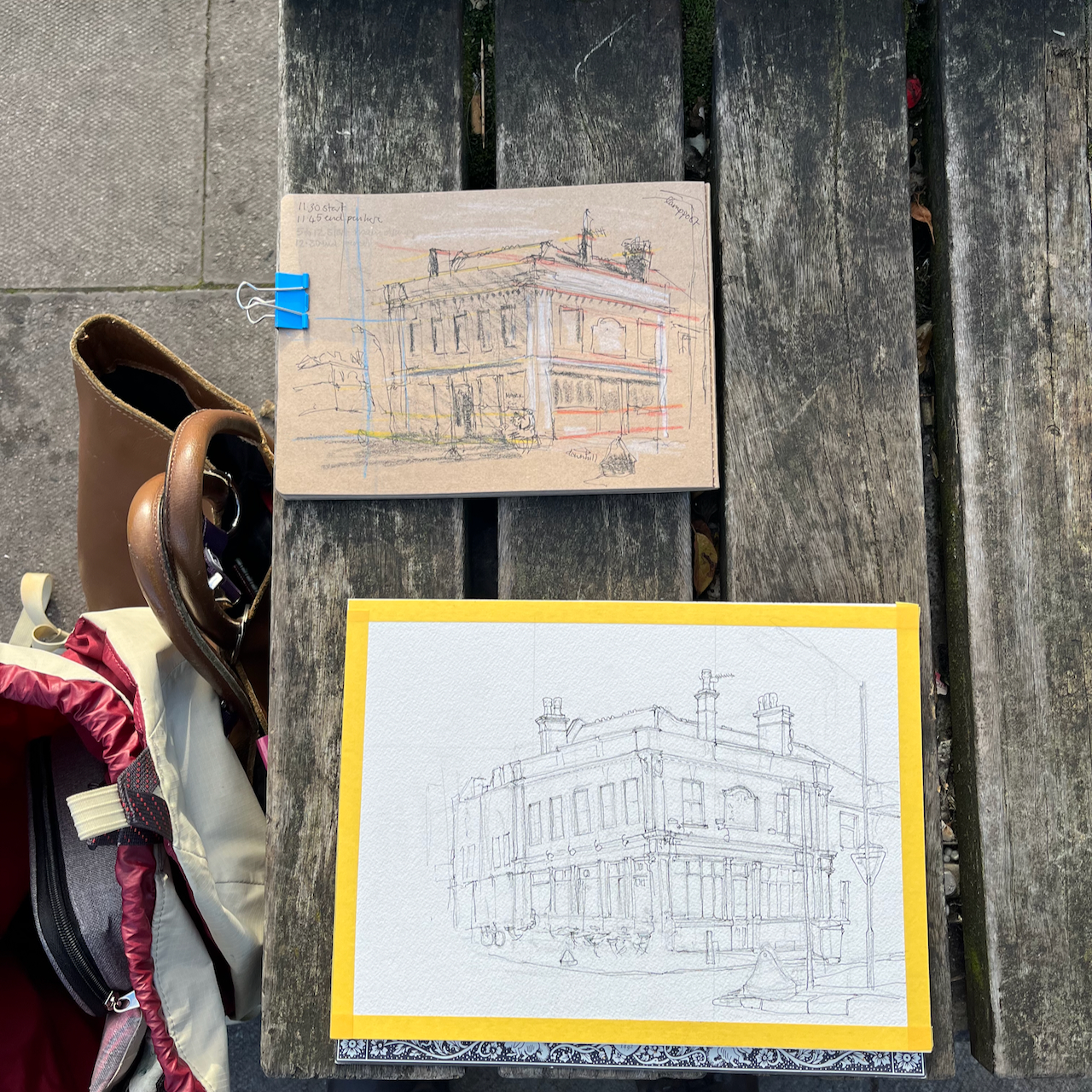
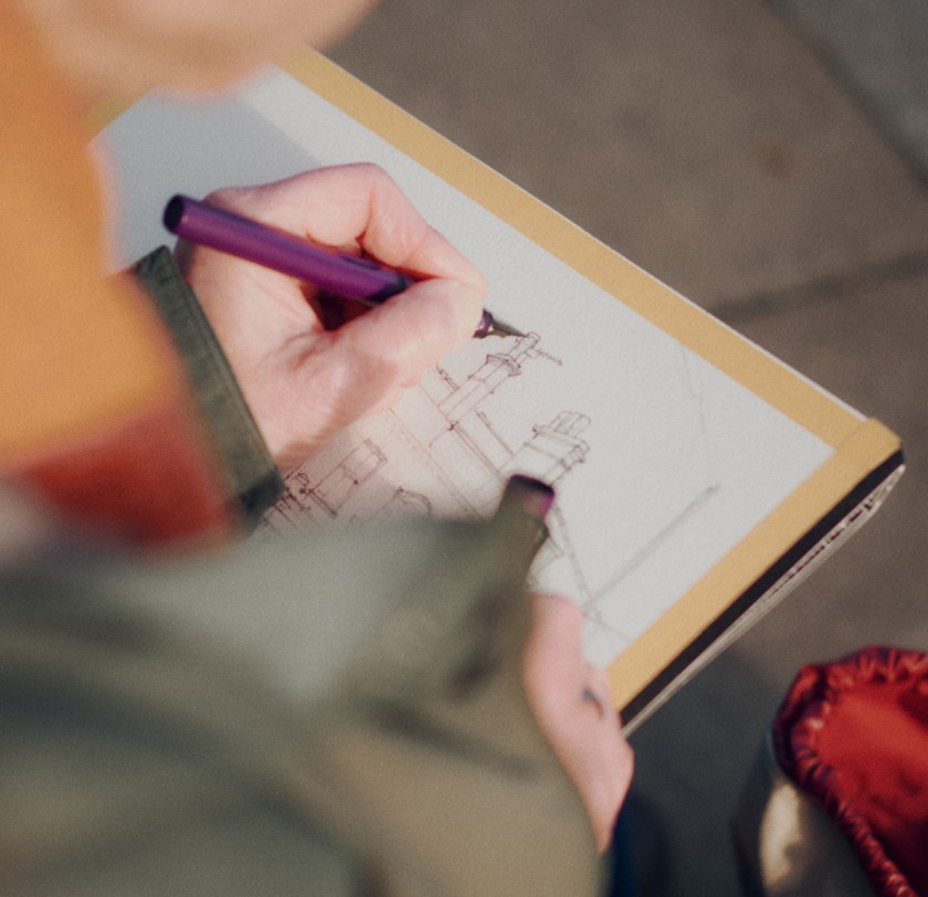
Here are some snapshots from my sketching expedition, Thank you to the landlord Mike, who kindly brought me a chair, and welcomed me into the pub for a very welcome drink on that hot day.
Thirsty work, sketching.Sketchbook 17 page spread
Harvey’s took over the pub in 1997 according to https://www.spbw.beer/lpoty-2/. The current landlord told me that the Royal Oak was Harvey’s first tied pub in London. ↩︎
Click a button below to share this post online, email it, or print it:
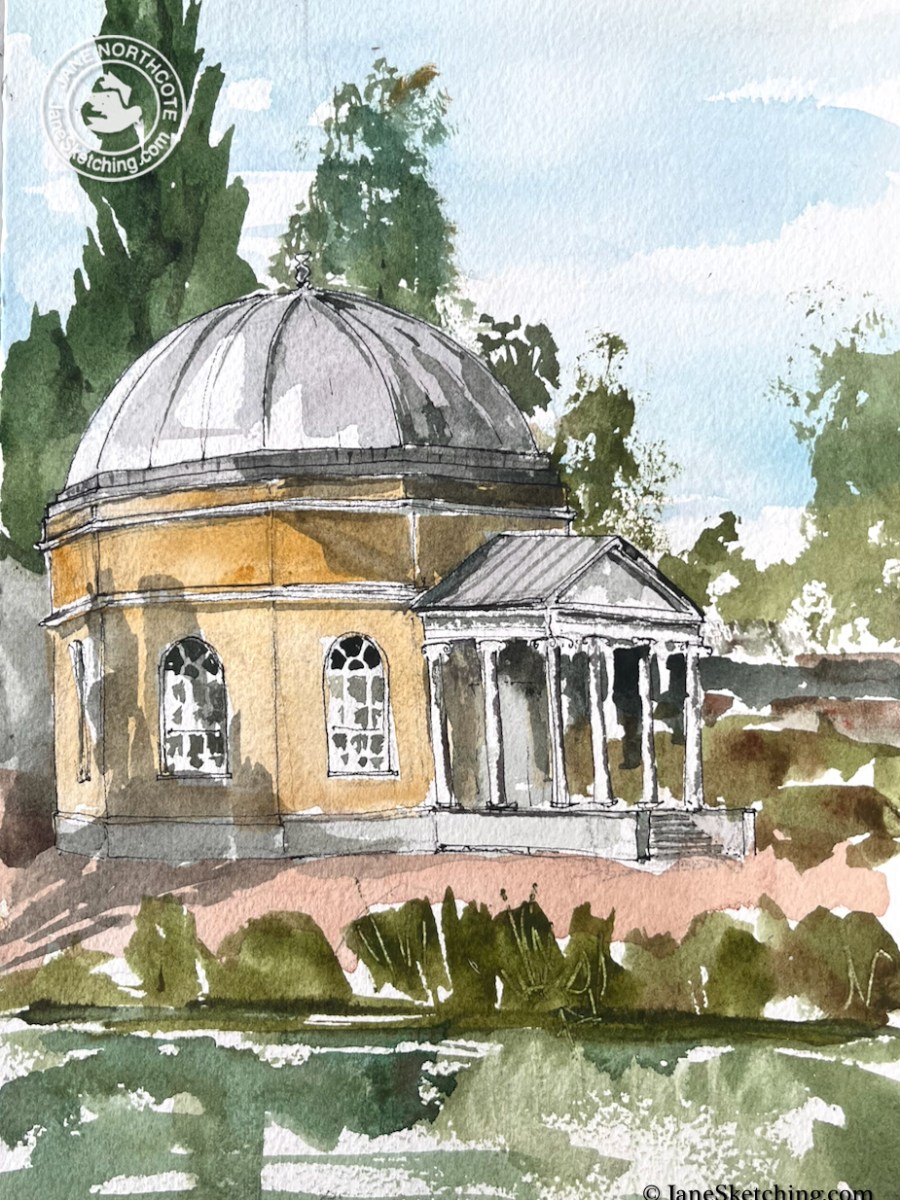
Strolling along the river bank I saw this quirky little temple on the other side of the river. It was afternoon, in the midst of a hot spell. A group of young girls were playing on paddle boards, standing up and jumping in the water, shrieking. A small motor boat came from the island “Garrick’s…
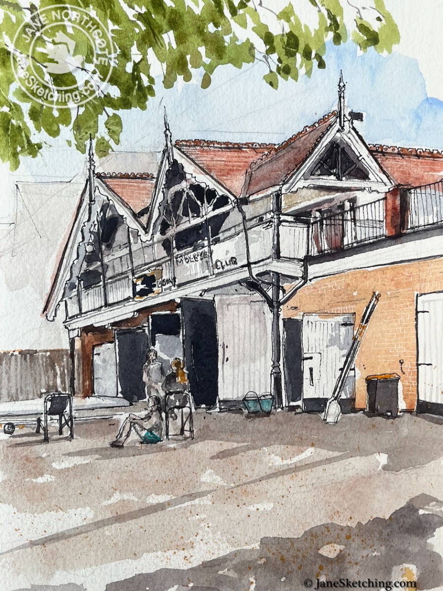
A short walk from Hampton Court Bridge is Molesey Boat Club. This is a lively place. I watched a group of school-age boys and girls competently lift a boat out of the water, and place it carefully on its stand. They then washed it with sponges. Boats were coming and going all the time, fours,…
Click a button below to share this post online, email it, or print it:
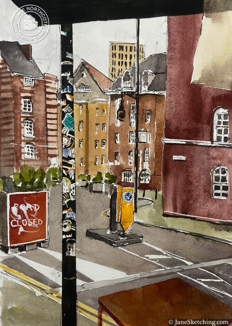
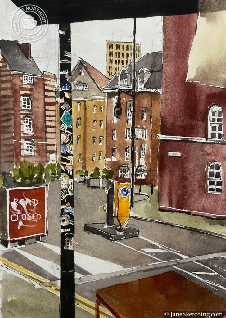
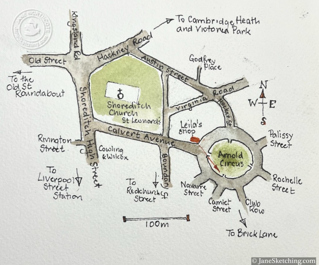
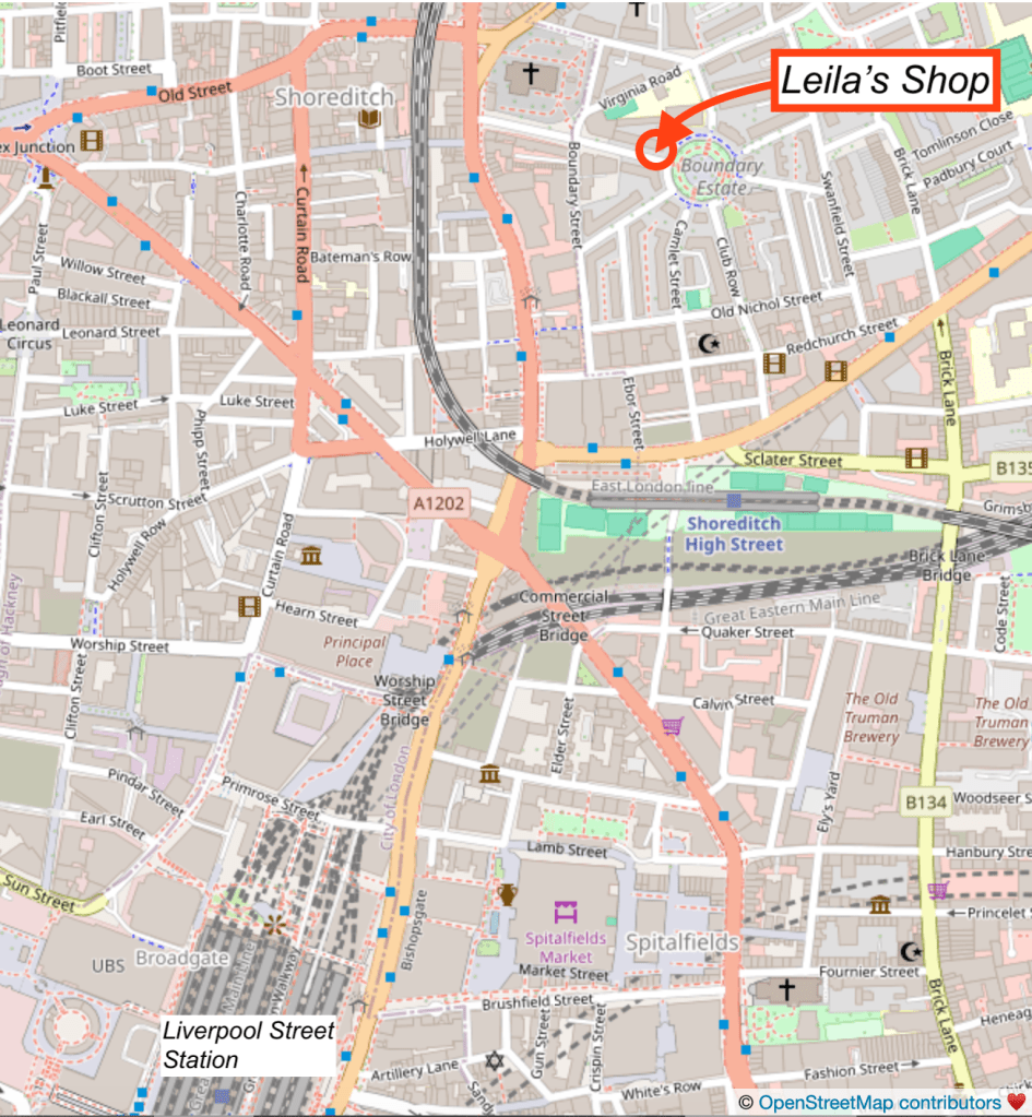
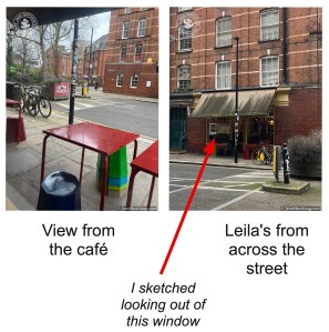
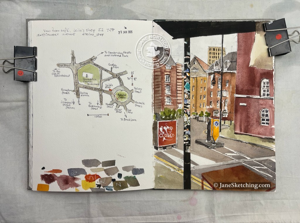
On a very cold day in January I stopped for lunch in Leila’s shop in Calvert Avenue. My table at the window offered a view along a tangent of Arnold Circus.
View from Leila’s, 15-17 Calvert Avenue E2 7JP 29 January 2026 10″ x 7″in Sketchbook 16
I enjoyed all the lines and curves, and the hundreds of notices stuck to the lamppost, and the trees in boxes, and the transitional feel of this area, between the City and Hackney, between the trendy shops of Redchurch Street and the social housing of the Boundary Estate.
Then lunch arrived, which was a kind of a goulash and very good.
The woman serving said “It’s so cold, I’m offering cups of hot water. Would you like one?”. This was a good idea. She placed the cup of hot water in amongst my drawing things, and the plate of goulash, on the table. They are very tolerant and understanding in this café.
Next door is the deli of the same name, where I procured a slice of malt loaf to sustain me on my walk. I’d eaten it before I reached the other side of Arnold Circus.
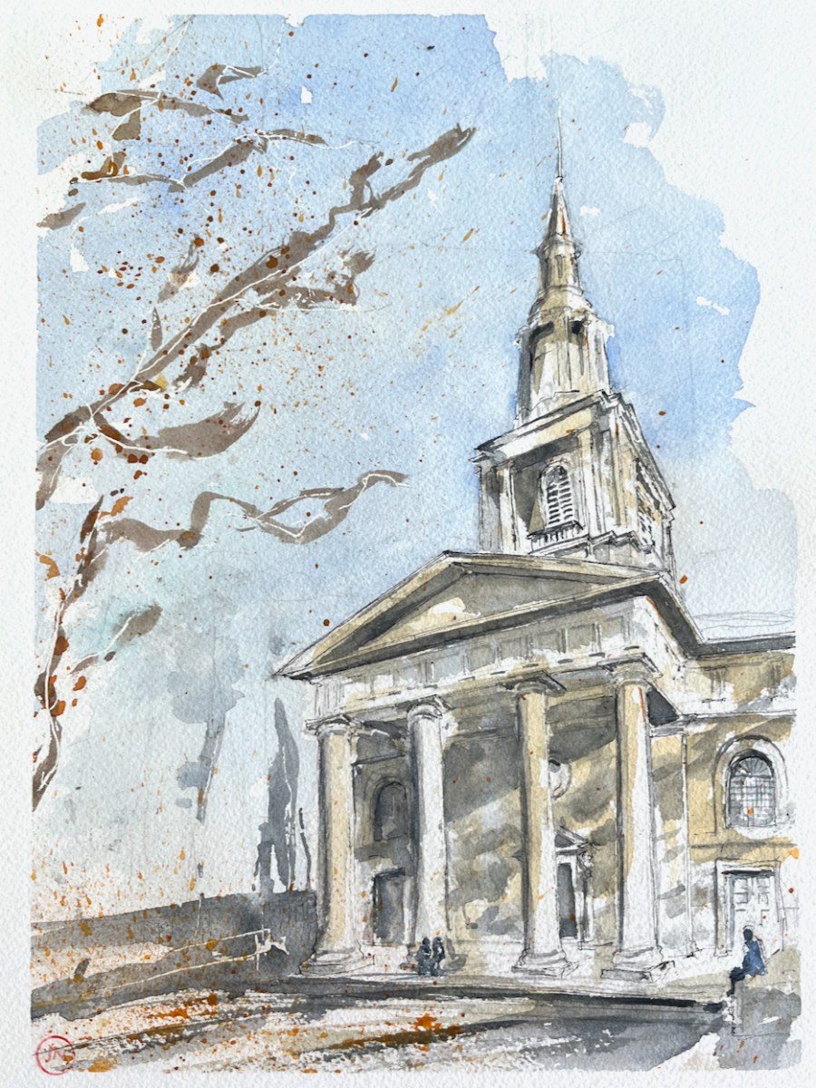
Here is St Leonard Shoreditch, which stands at the intersection of Shoreditch High St and the Hackney Road, postcode E1 6JN. There has been a Christian church here since medieval times. The present building dates from 1741 and was designed by George Dance the Elder (1695-1768). George Dance the Elder was the City of London surveyor at the time, and designed, amongst other buildings, Mansion House at Bank Junction. The current church is active in the community. On the day I was sketching, a Thursday, they were offering meals to local people. This is the Lighthouse Project, “providing practical help,…
This is the “Boundary Estate”, Britain’s first council estate, opened in 1900. It was built to the design of Owen Fleming and his team. Fleming was a member of the Housing of the Working Classes branch of the LCC’s* Architecture department. He was 26 years old. The aim of Boundary Estate project was to replace slums, in an area of disease, want, squalor and crime known as “Old Nicol”. The slums were pulled down, and replaced by dwellings that were more healthy, and more pleasant to live in. The area was also provided with schools, a laundry, shops and clubrooms.…
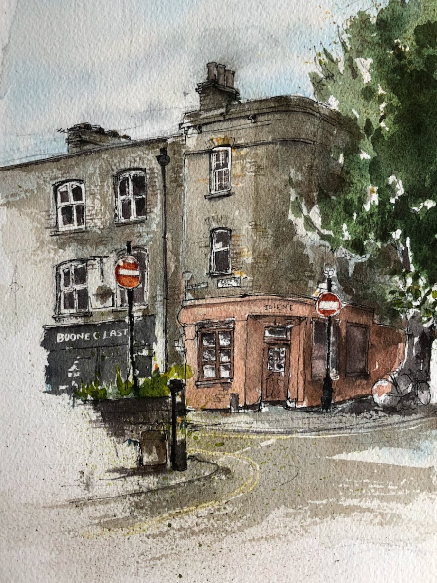
Jolene bakery is on the corner of Redchurch Street and Club Row. This is a lively corner in a street on various edges: on the edge of the City, at the boundary between a new London and an old one, at the intersection of 21st century entrepreneurial culture and 19th century housing projects. Redchurch Street is just North and West of Brick Lane. There are restaurants, independent clothes designers, hairdressers, and various 21st century businesses I couldn’t identify but categorised in my mind as broadly “creative”. It’s a good place to walk around, and Jolene is a great place to…
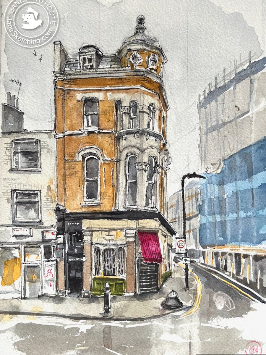
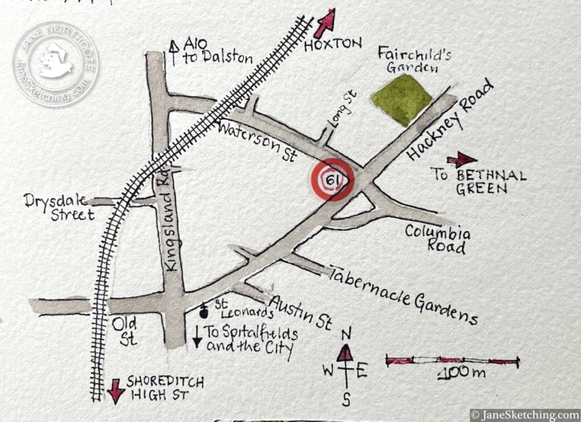
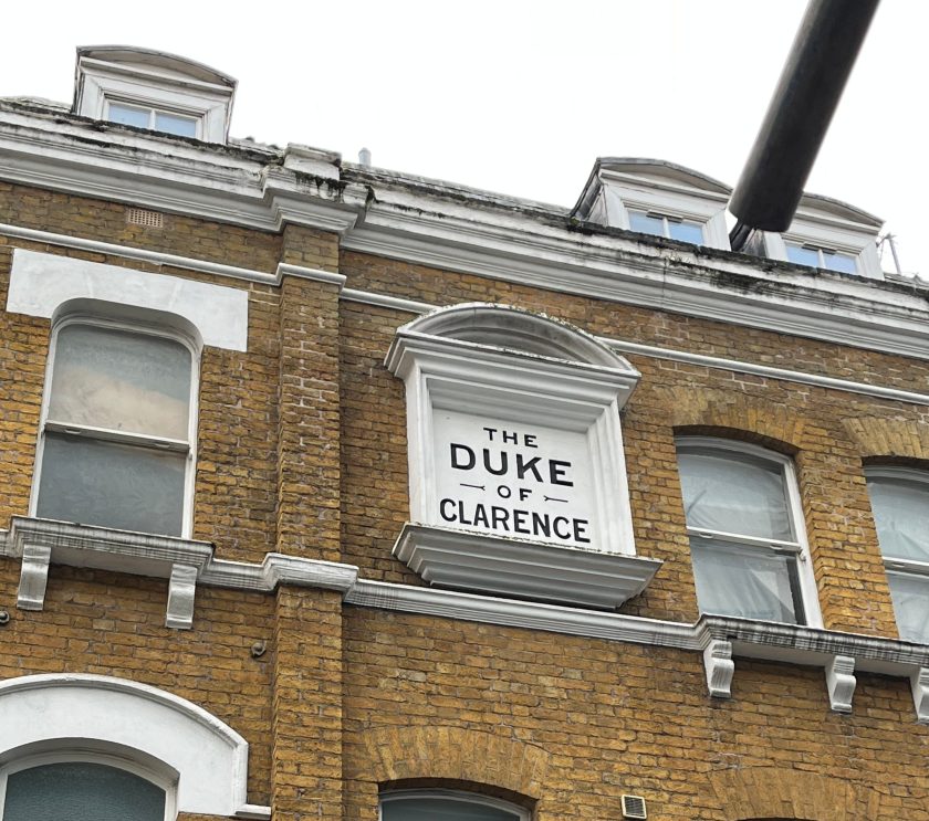
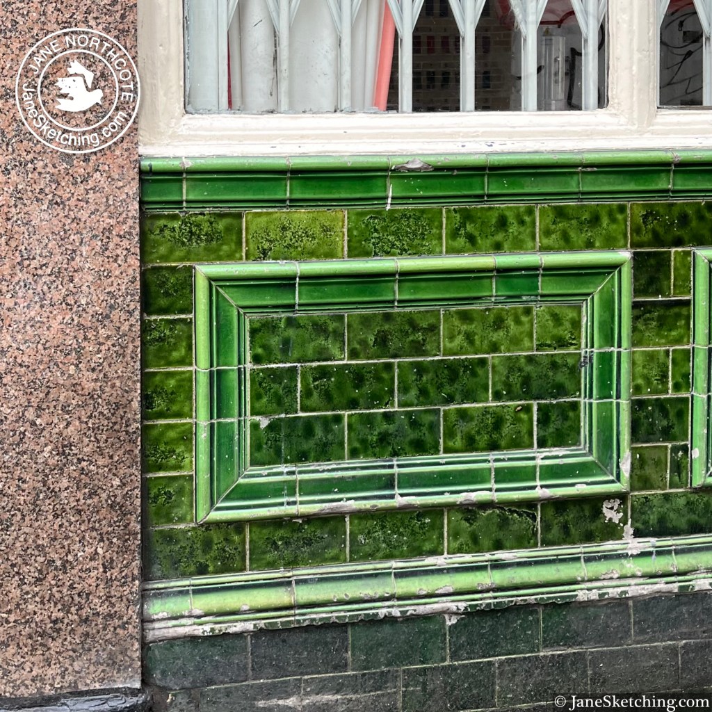
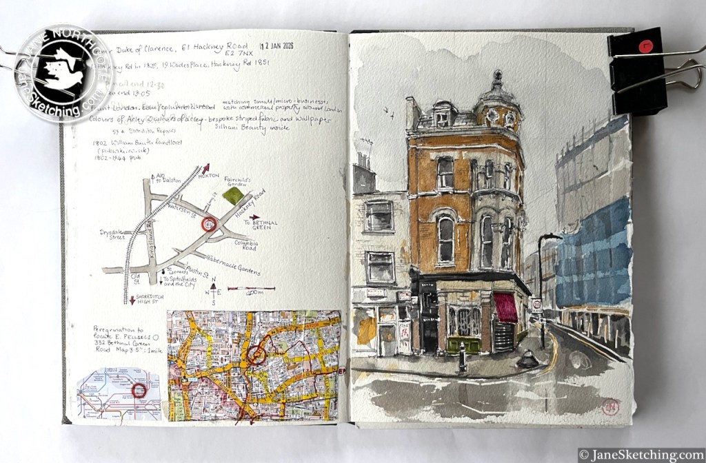
Along the Hackney Road stands this building with a turret: This on the corner of Waterson Street and Hackney Road, at the western end of Columbia Road. After I’d sketched it, I walked into the picture, and had a look at the building from the Waterson Street side. It was a pub called the Duke of Clarence. There is deep green tiling, characteristic of 19th century London pubs. It was listed in the London Street Directory of 1940 as a pub. Other online references have it trading from 1802 up to 1944. For many decades it’s had retail premises on…
“We are one of the few streets in the country composed of sixty independent shops. Small art galleries sit next to cup cake shops, vintage clothes stores, English and Italian delis, garden and antique shops. There is also a wealth of great pubs, cafes and restaurants.”
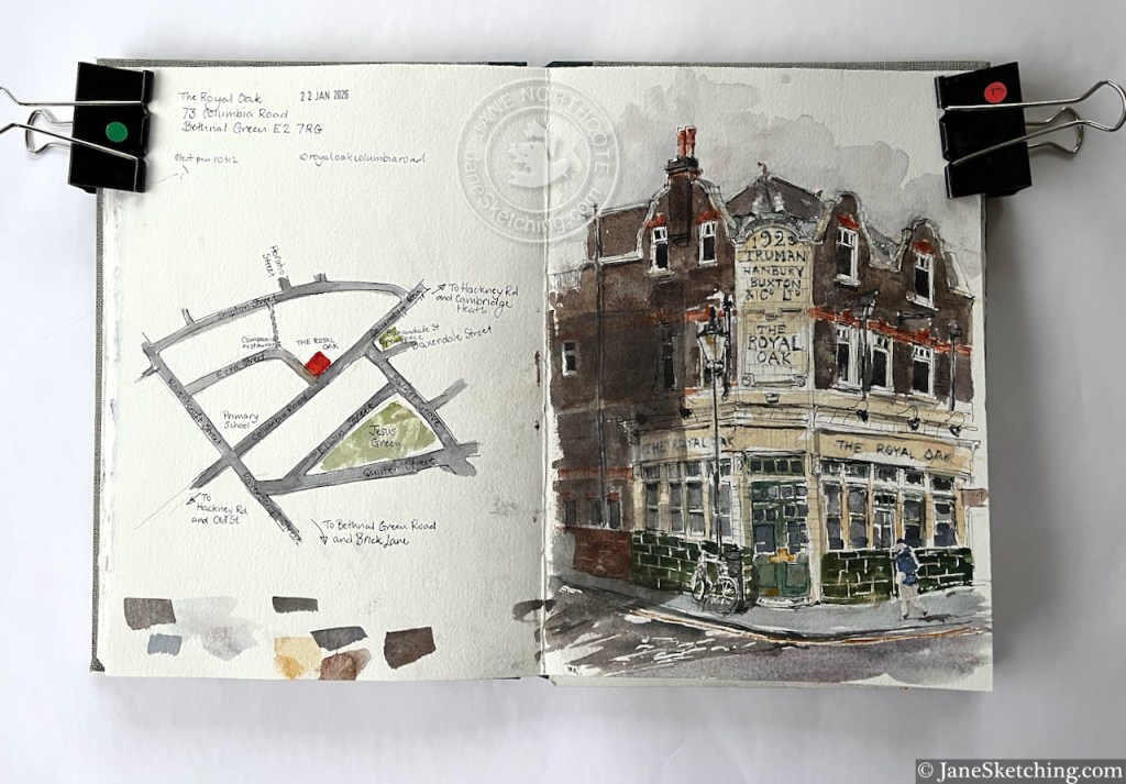
This is true, although you need to know that many of these shops are open only Friday-Sunday. I was there on a rainy Thursday. This was probably just as well, because it meant I had a good view of the pub from the doorway of the shop opposite.
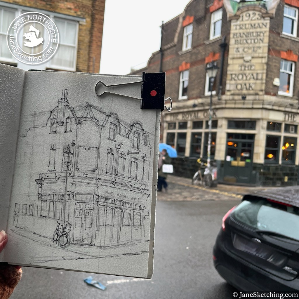
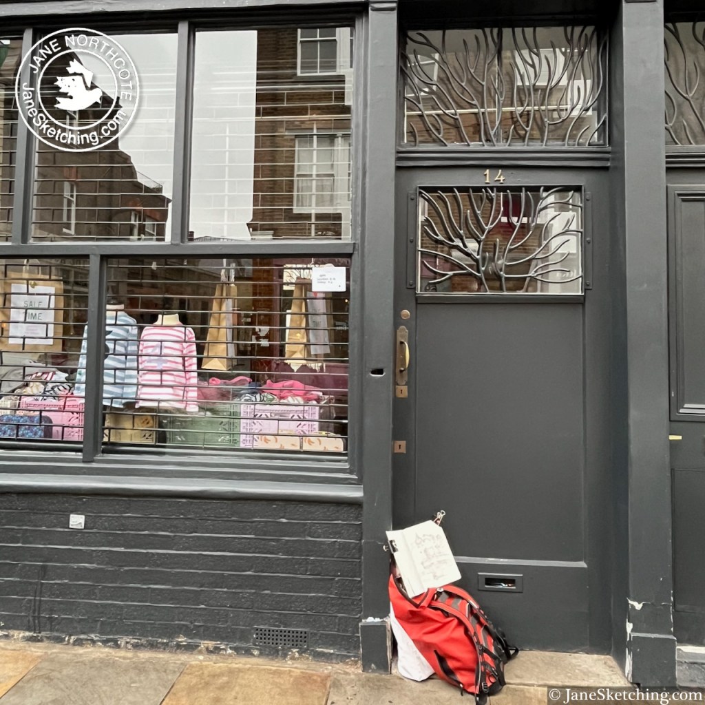
Sketching “The Royal Oak” from outside “Bob and Blossom” on Columbia Road
It was the nicest-smelling location for sketching. There was a coffee shop opposite distributing coffee-and-croissant aromas into the damp air, and somewhere nearby must have been selling soap, because there were wafts of tangerine, cedar, and lavender, smelling clean and unusual.
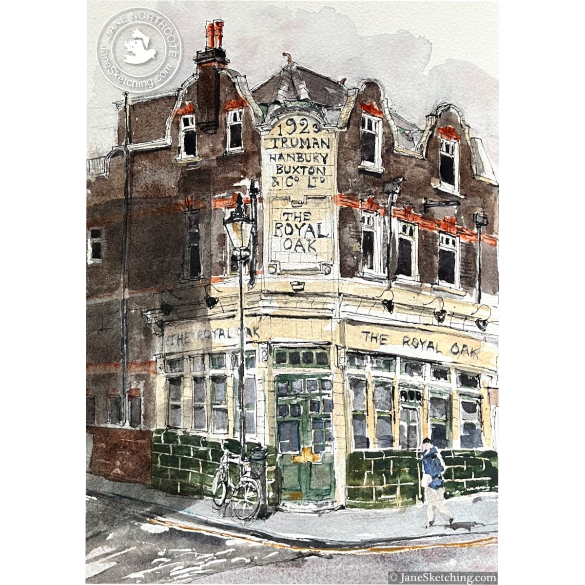
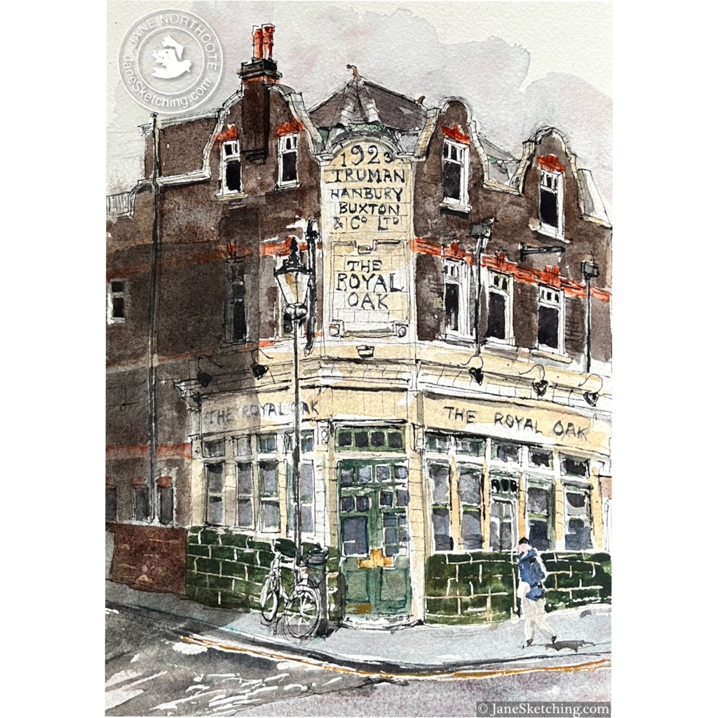
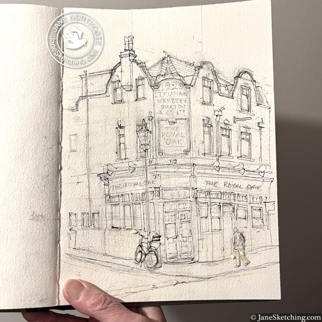
The pub is Grade II listed, listing reference 1426765. The present building is from 1923, built to the designs of Arthur Edward Sewell, for Trumans Brewery. The listing notes “Trumans distinctive green mottled tiling” which you can see in my sketch. According to the listing, there was a previous pub here, of the same name, from before 1842. The listing also maintains that this is an “early pub” with a licence to open from 9am on Sundays to serve the market-goers. This doesn’t seem to be the case any more, according to the pub website. But if you know different, or if you are the pub, please correct me!
It is now a Youngs pub, open every day from 12 noon.
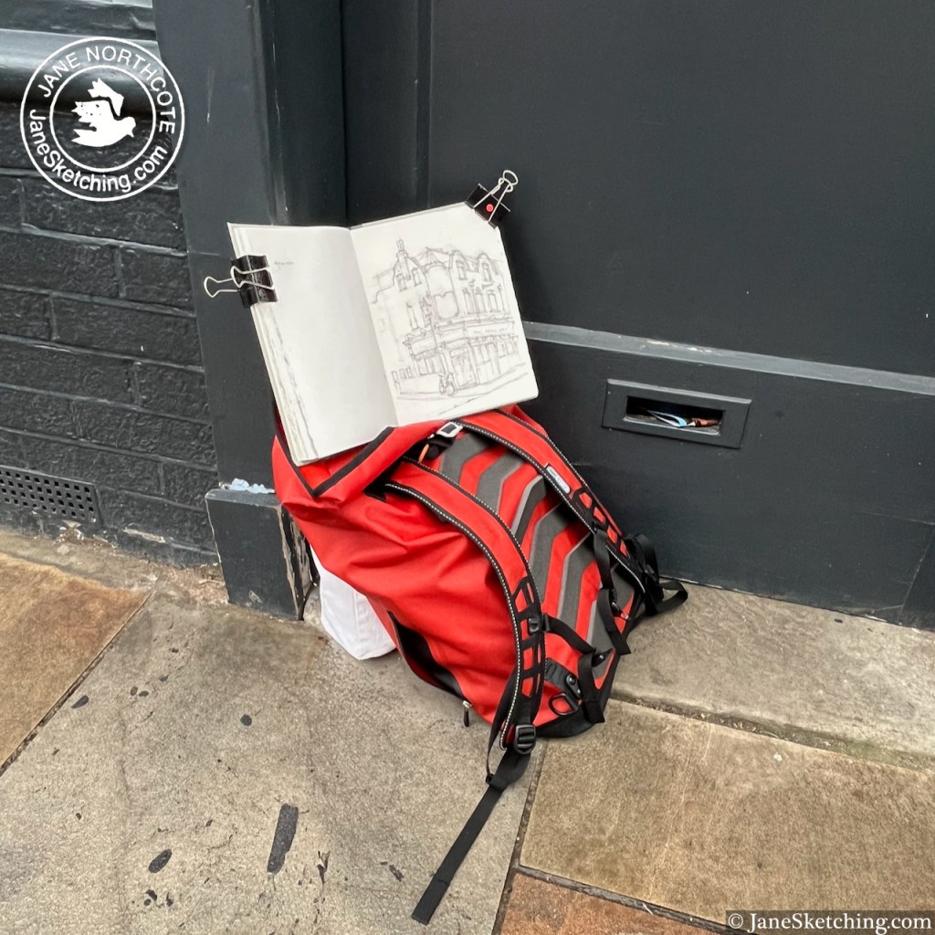
The Royal Oak, sketchbook spread, Sketchbook 16What it looked like before the colour went on
Click a button below to share this post online, email it, or print it:
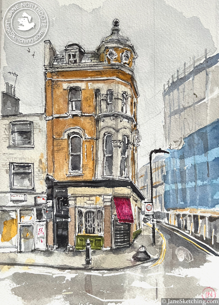
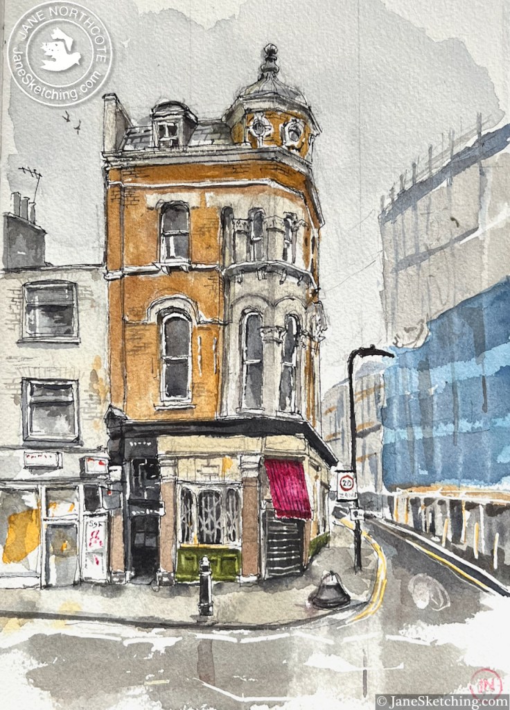
Along the Hackney Road stands this building with a turret:
61 Hackney Road, E2 7NX, sketched 12 January 2026 in sketchbook 16
This on the corner of Waterson Street and Hackney Road, at the western end of Columbia Road.
After I’d sketched it, I walked into the picture, and had a look at the building from the Waterson Street side. It was a pub called the Duke of Clarence.
There is deep green tiling, characteristic of 19th century London pubs.
Now it is home to “Colours of Arley” on the ground floor, which offers “bespoke striped fabric and wallpaper”. Other floors are occupied by tenants of “Fount London”, which provides small office spaces in quirky buildings.
It’s still standing on its corner, still noble, still useful, while the businesses and the district change around it.
Click a button below to share this post online, email it, or print it:
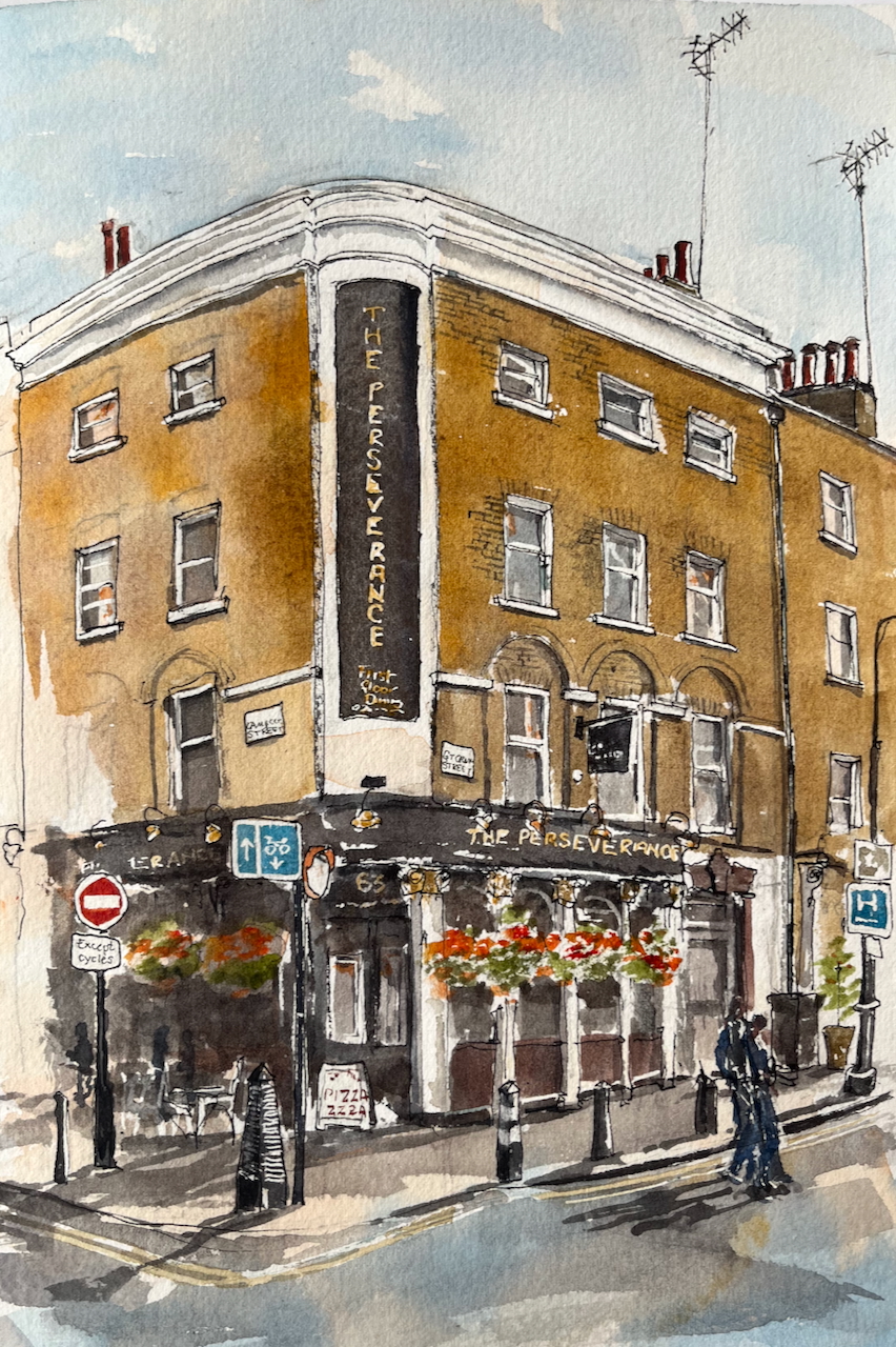
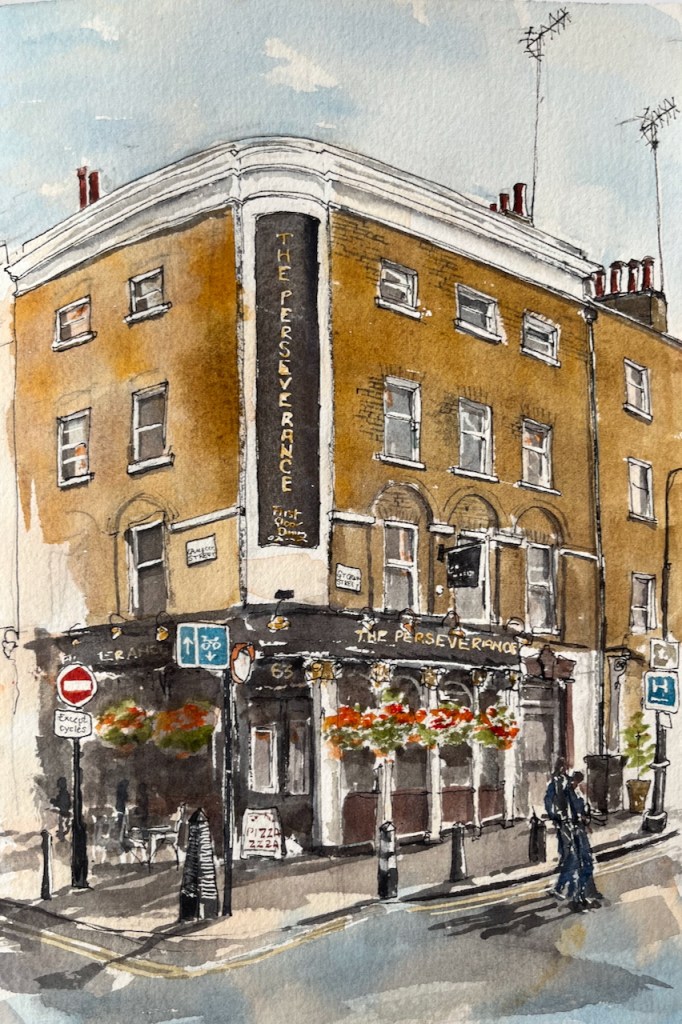
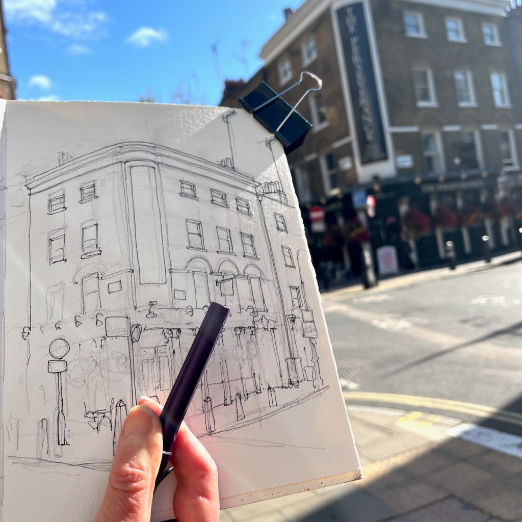
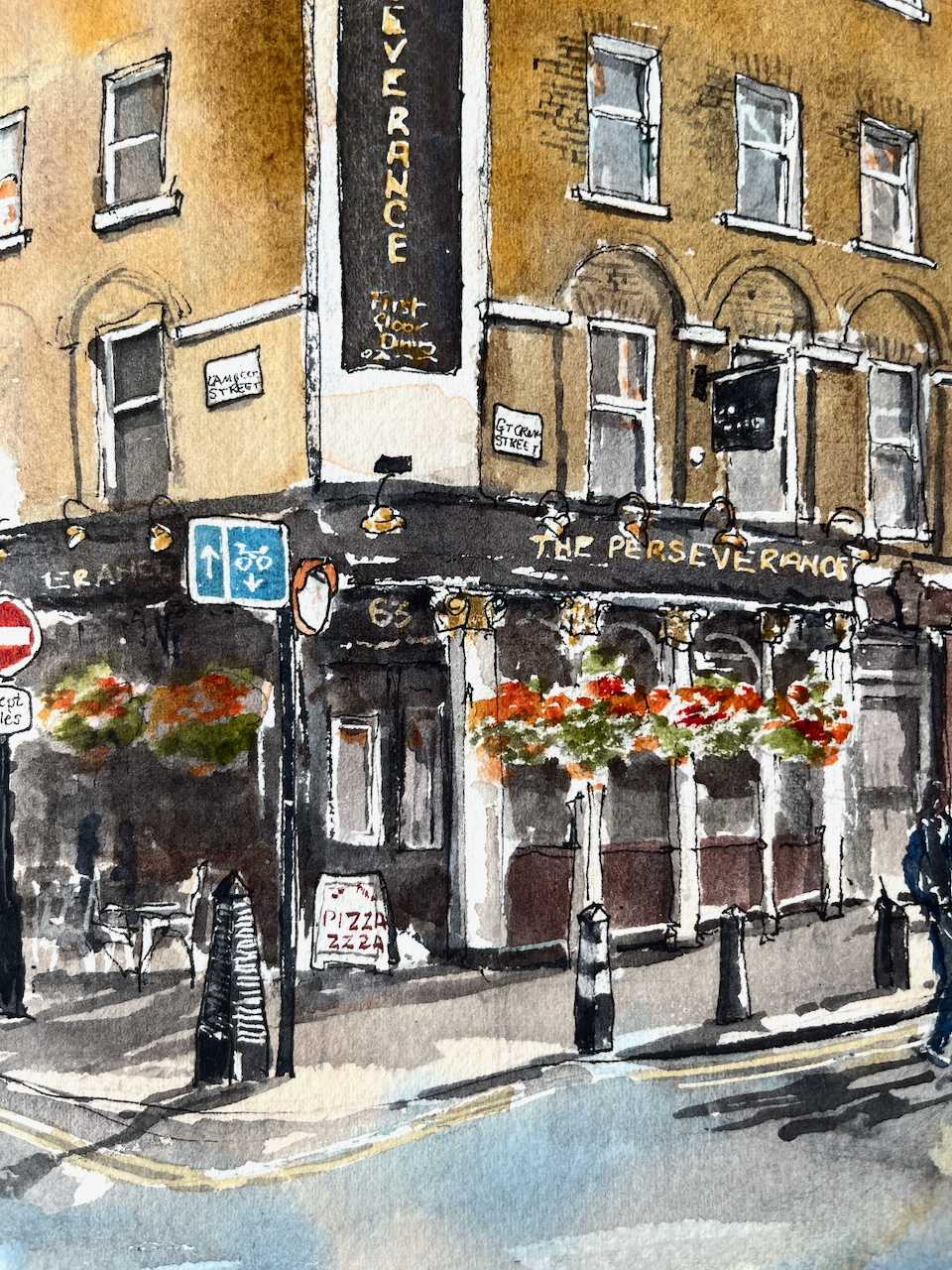
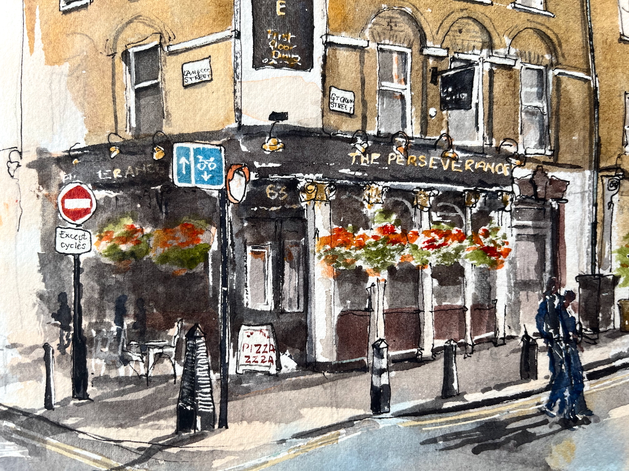
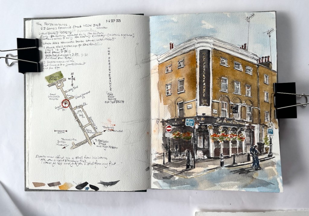
Here is The Perseverance, on the corner of Great Ormond Street and Lamb’s Conduit Street.
The Perseverance, 63 Lamb’s Conduit Street WC1N 3NB, sketched 4th September 2025 in Sketchbook 16
This pub was formerly The Sun, and had a magnificent painting on the corner. There are pictures and history on this detailed post from The London Inheritance. The many comments on the London Inheritance blog post describe happy memories of The Sun and its numerous Real Ale pumps.
The pub is listed Grade II reference 1379274. It was built in the early 18th century and the front was renewed in the 19th century. It was The Sun until the 1990s when the name was changed a few times, becoming the Perseverance around 2005/6.
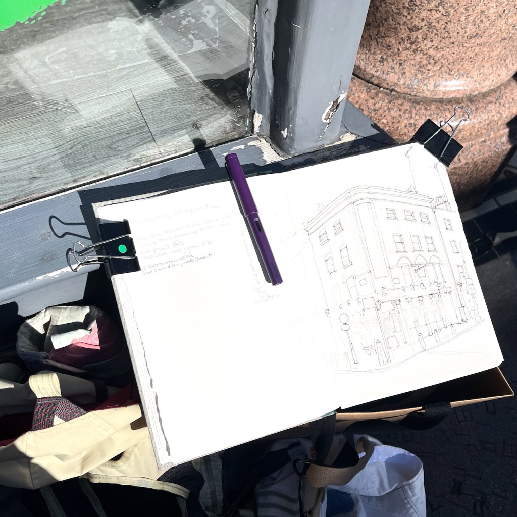
I sketched it from the “Rymans” stationery shop which is on the opposite corner of the crossroads. People walked past me, deep in conversation, casting shadows in the afternoon sun. But one elderly man stopped, and looked up at me. His back was slightly bent. “Are you alright standing there?” he asked. I said I was, wondering what he meant. “Because,” he continued, “I could go up and get you a stool from my flat. It’s just up there.” He pointed heavenwards, to the windows above the shops. People are so kind. This man was so kind. It’s moments like this which make the sun rise on humanity. I was in fact quite tired, and would have liked to sit down, but my drawing was very nearly finished. I hesitated to send this helpful individual back up his stairs. So I declined his thoughtful offer, as politely as I knew how, and continued my drawing standing upright in the sun.
This drawing took 1 hour and 20 mins on location, plus another hour and a half at my desk later. The colours are:
Mars Yellow (brickwork)
Ultramarine Blue and Burnt Umber (mixed, for the greys and blacks)
Phthalo Blue Turquoise and Ultramarine Blue for the sky and the street, and the street signs
Transparent Pyrrol Orange for the “No Entry” sign and the flowers
Serpentine Genuine Green for the plants
A tiny bit of Permanent Yellow deep for the yellow line on the road, and other small touches
All whites are the paper.
Ink lines are De Atramentis Document black ink in an Extrafine Lamy Safari fountain pen
Paper is Arches Aquarelle 300gsm Cold pressed in a sketchbook made by the Wyvern Bindery in Hoxton.
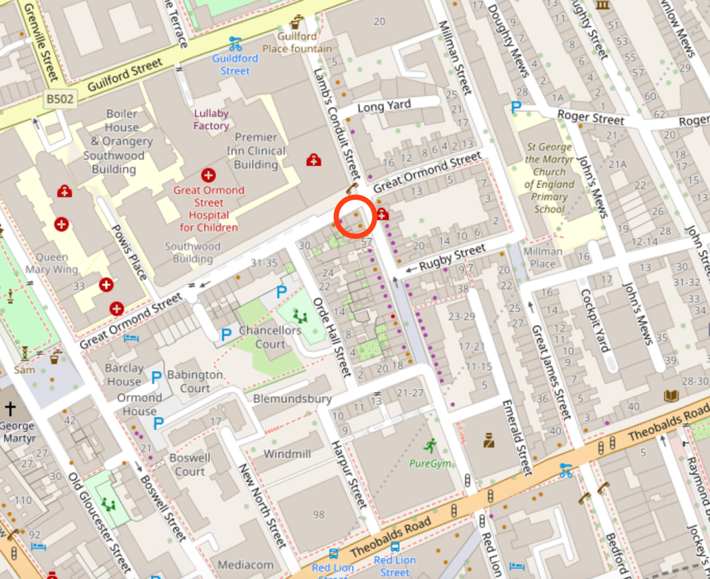
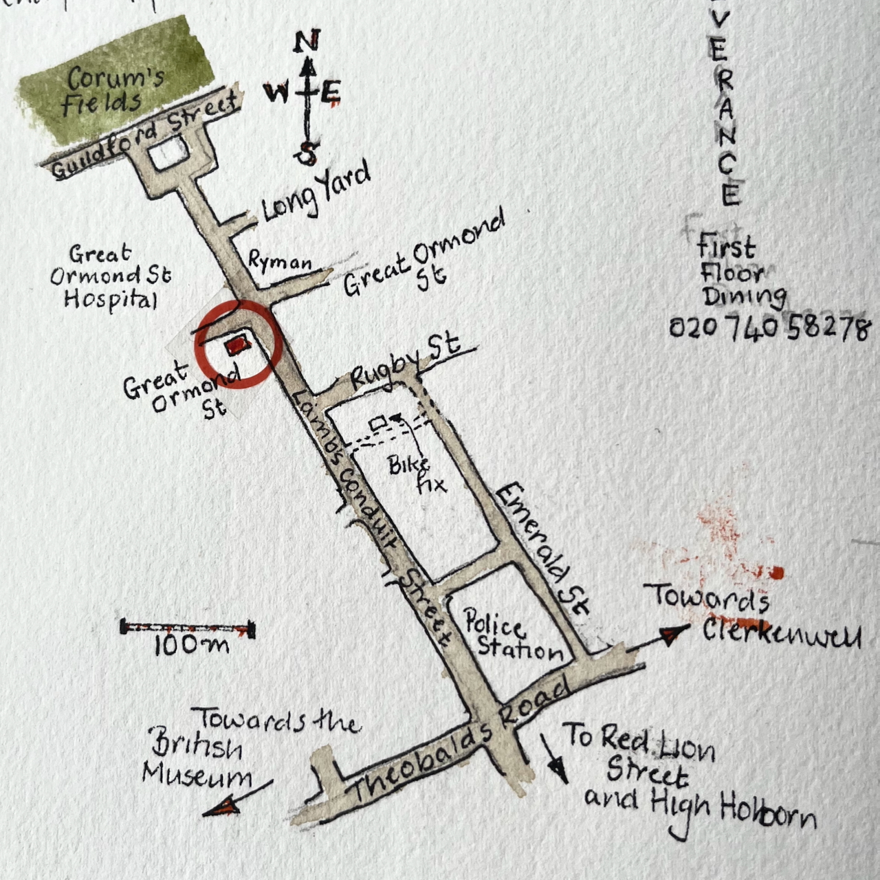
Here are maps (click to enlarge):
(c) OpenstreetMap Contributors
Here is the sketchbook, size 7″ x 10″.
Click a button below to share this post online, email it, or print it:
My idea that day was to sketch some interesting corner pubs in Bloomsbury.
By the time I had emerged from my flat and was on the street, the bright autumn day had turned stormy. After a few paces, the rain started falling. Everyone dashed for cover. I sheltered in a doorway, together with another woman, two strangers in a refuge, grinning and rolling our eyes. “Well, it is September”. At a pause in the deluge, we both emerged and went our separate ways. I went doggedly towards the West, but no, the rain returned, seemingly even more torrential. I dashed from doorway to doorway, like a fugitive in a spy novel, finding cover where I could. Then I spotted the generous overhang of Smithfield Market and rushed underneath, the rain spattering on the glass above. There was no sign of the deluge ceasing, so I considered, as you do in these strange interim conditions: to go on? to go back? Or to stay where you are?
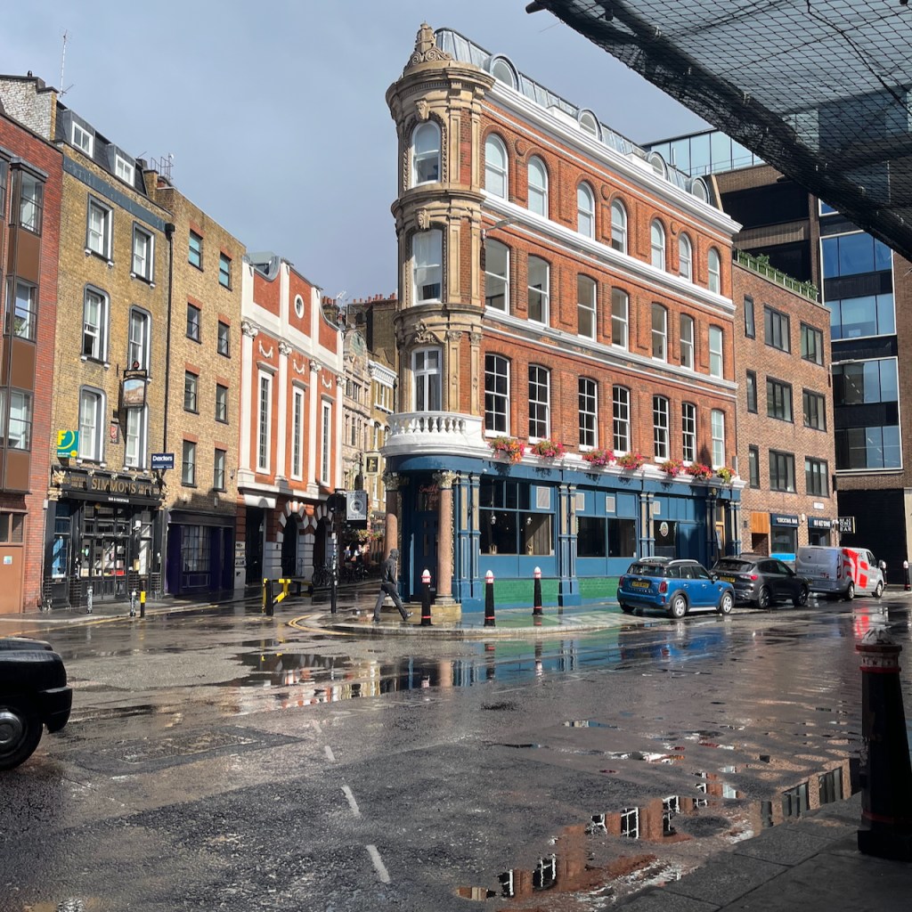
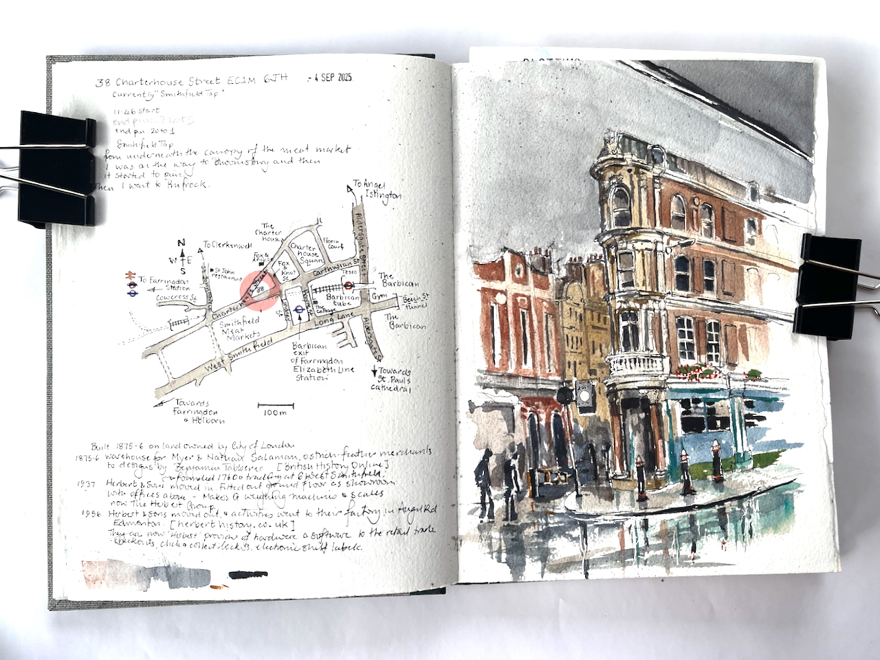
Why not do the drawing right here? Over the other side of the road is a building occupying an acute angle between roads. It wasn’t in my plan, but by this time I had abandoned my plan. So here is 38 Charterhouse Street, sketched from the shelter of the Smithfield Meat Market canopy.
38 Charterhouse Street, EC1M 6JH sketched 4th September 2025 in Sketchbook 16
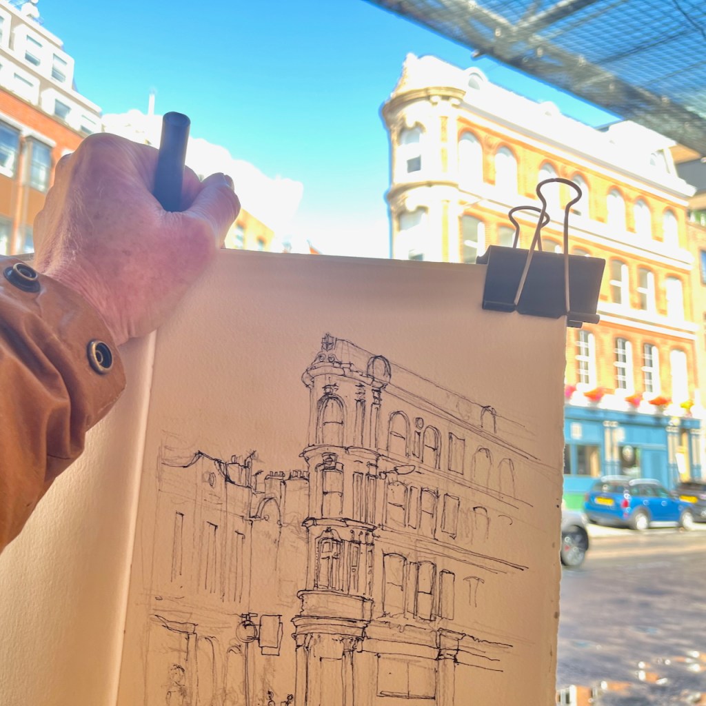
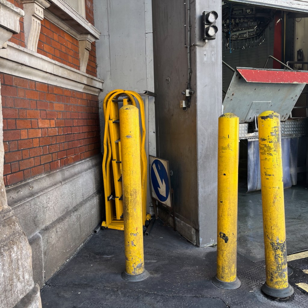
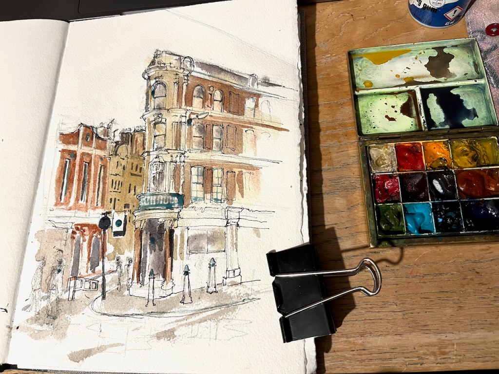
I sketched it in pen on location. Part way through the process, a group of workers started to clean the area behind me, using high-pressure water hoses. A fine mist appeared in the air, adding to the general dampness. I finished the drawing later that evening, in my warm dry room.
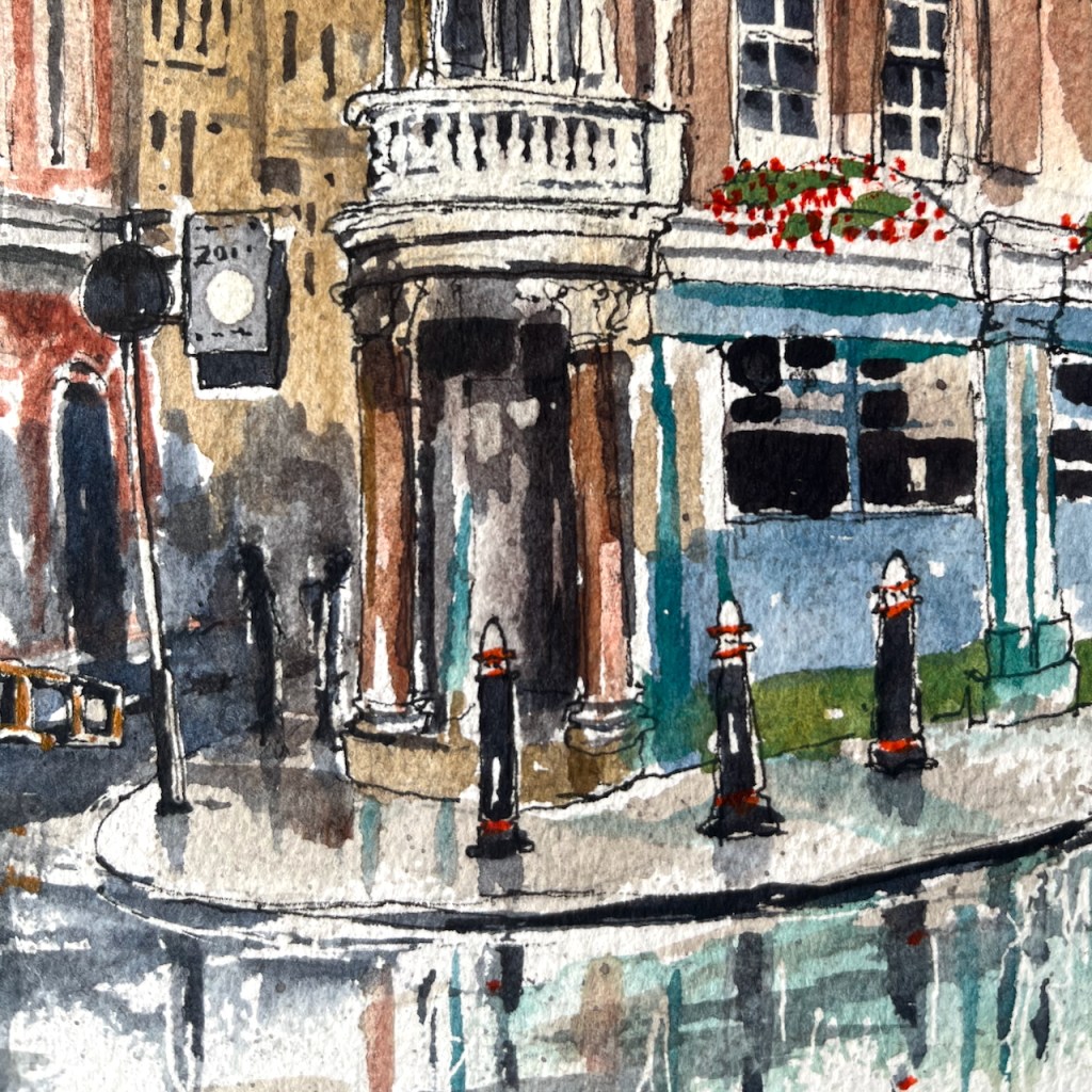
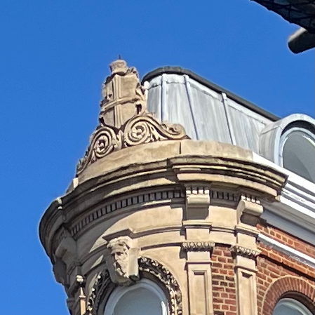
38 Charterhouse Street, photoDrawing in progress on locationDetail of finished drawingThis was where I was standing to sketch, this area was cleaned with high-pressure water hoses.
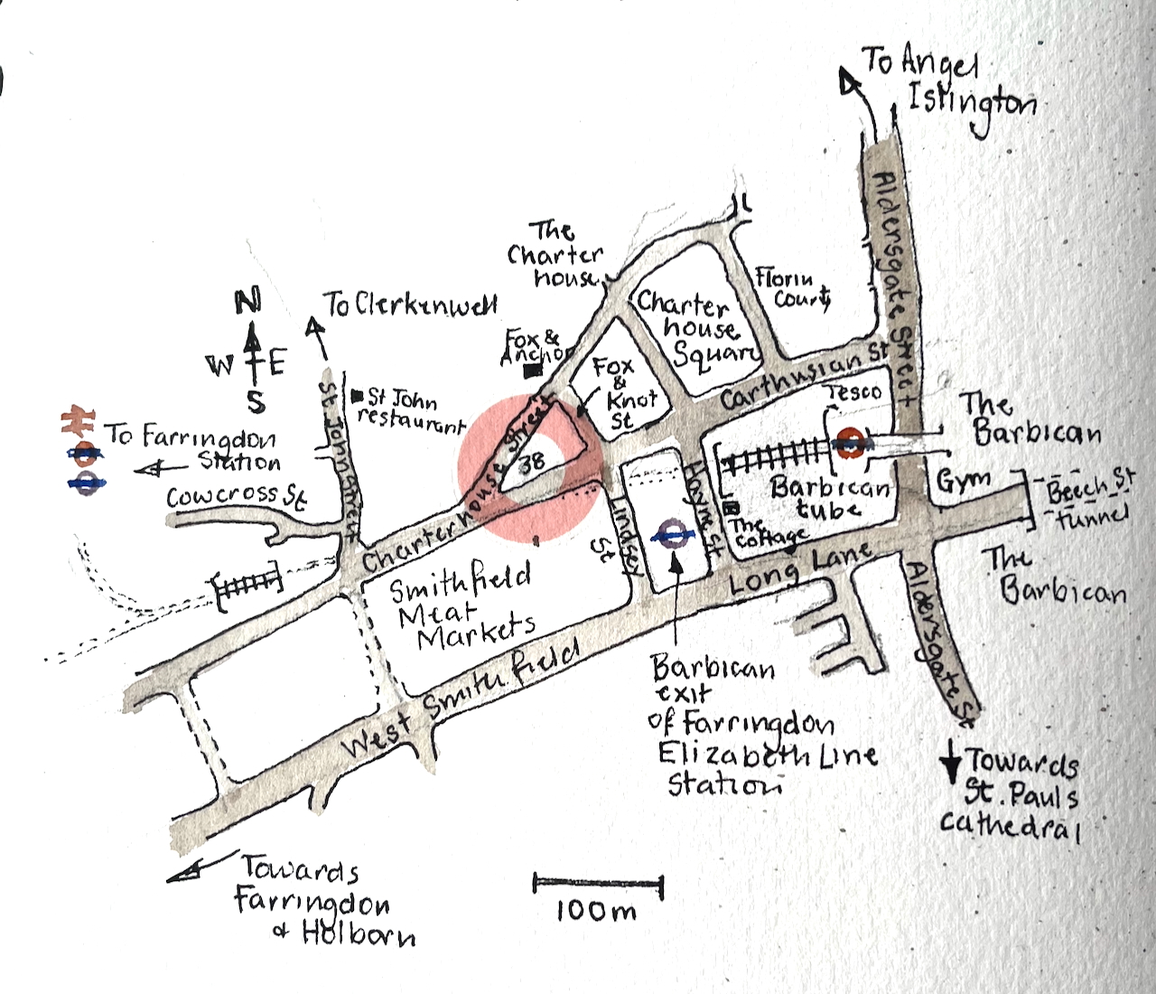
Here is a map.
As you see, number 38 stands on a little triangle of land, bounded by Charterhouse Street, Carthusian Street and the tiny alley called Fox and Knot Street.
British History Online offers some history for this triangular plot. In the 1860s the City of London redeveloped the Smithfield Meat Market. At the time it had been mostly an open-air market. The City turned it into the covered market it is today. The surrounding lanes and buildings were also affected, both by the redevelopment and the increased trade.
In 1869–70, with the new market building complete, it was resolved to take the new road along the north side of the market further east into the square itself, carried out in 1873–4. The road was called Charterhouse Street, apparently at the suggestion of the Charterhouse, Whereas in 1860 Charterhouse Lane enjoyed a mix of businesses, in 1876 half of the sixteen surviving houses were occupied by meat and poultry traders. The same trades dominated the new buildings put up, though there were also coffee rooms to rival the two remaining pubs and a large bank at the corner with St John Street. By the time of the Second World War most of the buildings west of the Fox and Anchor at No. 115 were purpose-built cold stores. Only with the decline of Smithfield Market did the grip of the meat trades loosen. Today restaurants and bars have largely supplanted them.
The Fox and Anchor pub and the former cold stores are on the left of my drawing. I’ve drawn the marvellous frontage of the Fox and Anchor here.
British History Online describes the block on the corner, number 38:
The City of London arms on the building today.
The remnant of ground at the angle between the old and new roads was laid out for a small block of buildings and allotted the numbers 38–42 (even) Charterhouse Street, behind which a tiny street, Fox and Knot Street, was cut through in 1871. The name was taken from Fox and Knot Yard, a court obliterated by the new market.
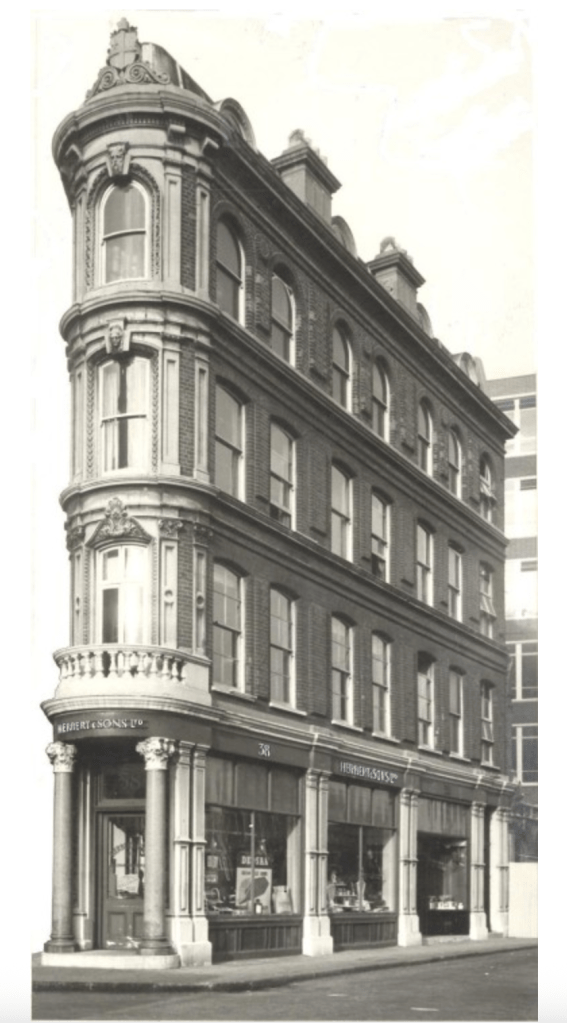
The small triangular block west of Fox and Knot Street […] just within the City boundary, belongs to the land acquired by the Corporation of London in the 1860s for the Smithfield Market development. Set out for building in 1871–2, it remained empty until 1875–6. At the apex a warehouse (No. 38), was then built for Myer and Nathan Salaman, ostrich-feather merchants, to designs by Benjamin Tabberer. […] It is four storeys high, of red brick with regular fenestration; all the ornamentation is concentrated on the narrow corner. For many years there were coffee-rooms here.
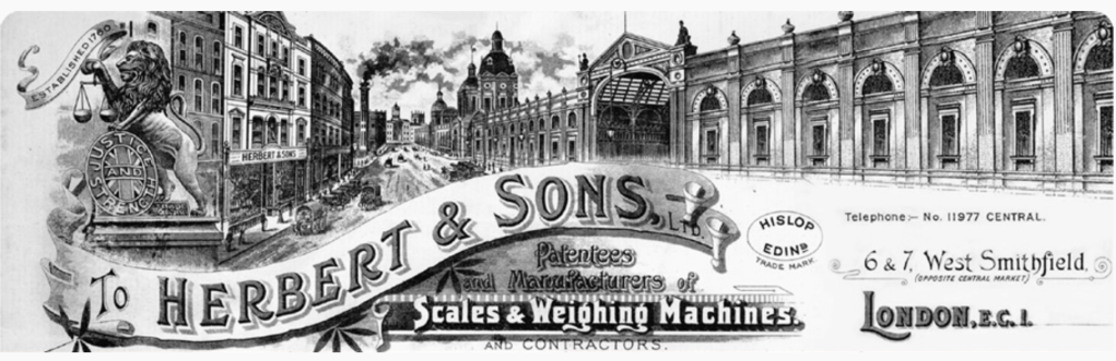
So, in 1875 it was an ostrich-feather warehouse, which must have been a great place to visit. The next mention of the building is on the website of Herbert, a present-day supplier of technology to retail businesses. They have a section of their website devoted to their long history. In the early twentieth century they were supplying weighing machines and balances from their offices in West Smithfield and a factory in Edmonton.
Herbert and Son moved out in 1956 and consolidated their operations into their Edmonton site. Since then, the building has been a coffee house, and, more recently, various bars. It is now the “Smithfield Tap”.
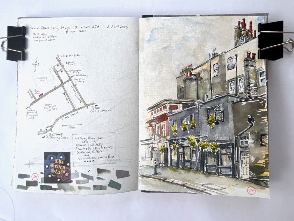
“This tranquil little pub now faces the back of the Royal Courts of Justice, the esteemed Gothic Revival building opened by Queen Victoria in 1882. Within The Seven Stars’ ancient charm of three narrow rooms that make up its public area, drinking in Queer Street (as Carey Street has often been called because of the bankruptcy courts) is contrarily pleasant. One can linger over gastronomic pub food and real ales behind Irish linen lace curtains that are being twitched by litigants, barristers, reporters, LSE students, church musicians, and West End show brass sections. Then, one might navigate to the lavatories up the comically narrow Elizabethan stairs. There are antique Cabinets of Curiosity in the pub’s front windows, and alongside Spy prints of former judges, there are posters of “Brothers in Law,” “A Pair of Briefs,” and other bygone British legal films.”
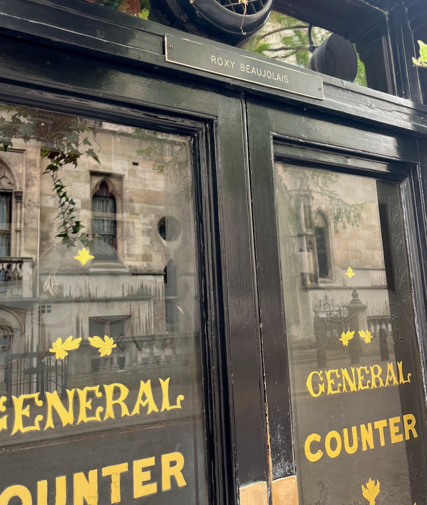
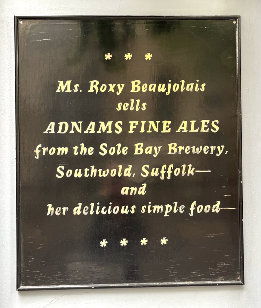
The licensee is the marvellously named Roxy Beaujolais.
Again quoting from the pub website:
In February 2006, FancyAPint listed The Seven Stars as one of “London’s Top Ten Pubs.” A 2006 review in On Trade, a pub industry organ, told it like this:
“We are here to be adored, not ignored,” says Roxy imperiously. “We sell fabulous beer with proper, homecooked food; and I expect my customers to appreciate both of those things.” In the current climate of customer satisfaction at all costs, her words may sound nigh on heretical. But this is a woman utterly qualified to call her own shots, and anyway – her combination of buxom presence, top class conversation, beautifully cared for ale, and sumptuous food is such a winning one that few would feel inclined to argue.
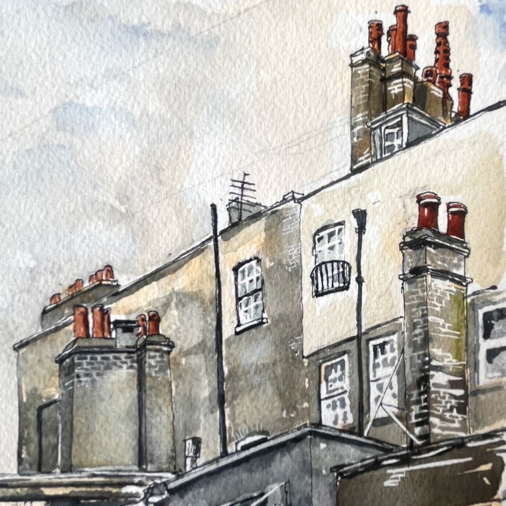
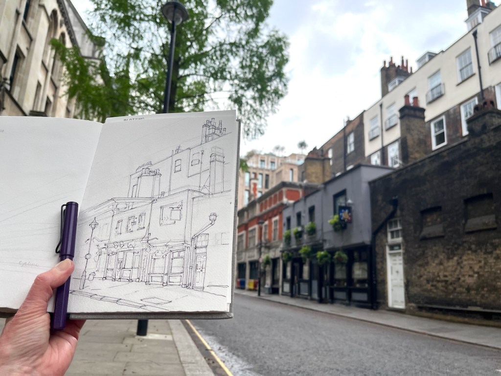
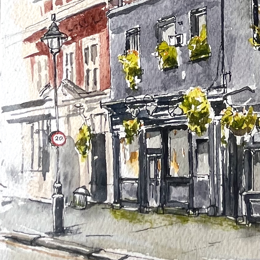
Sketching the pub, I enjoyed the landscape of chimneys. The art of the chimney-maker is not enough noticed. They are unsung sculptors. All those legal offices and chambers behind the Seven Stars must have plenty of fireplaces. Hence the chimneys, here present in great numbers and in extraordinary variety.
Chimneys seen from Carey Street.
This sketch took about an hour and a half on location, and I finished the colour at my desk.
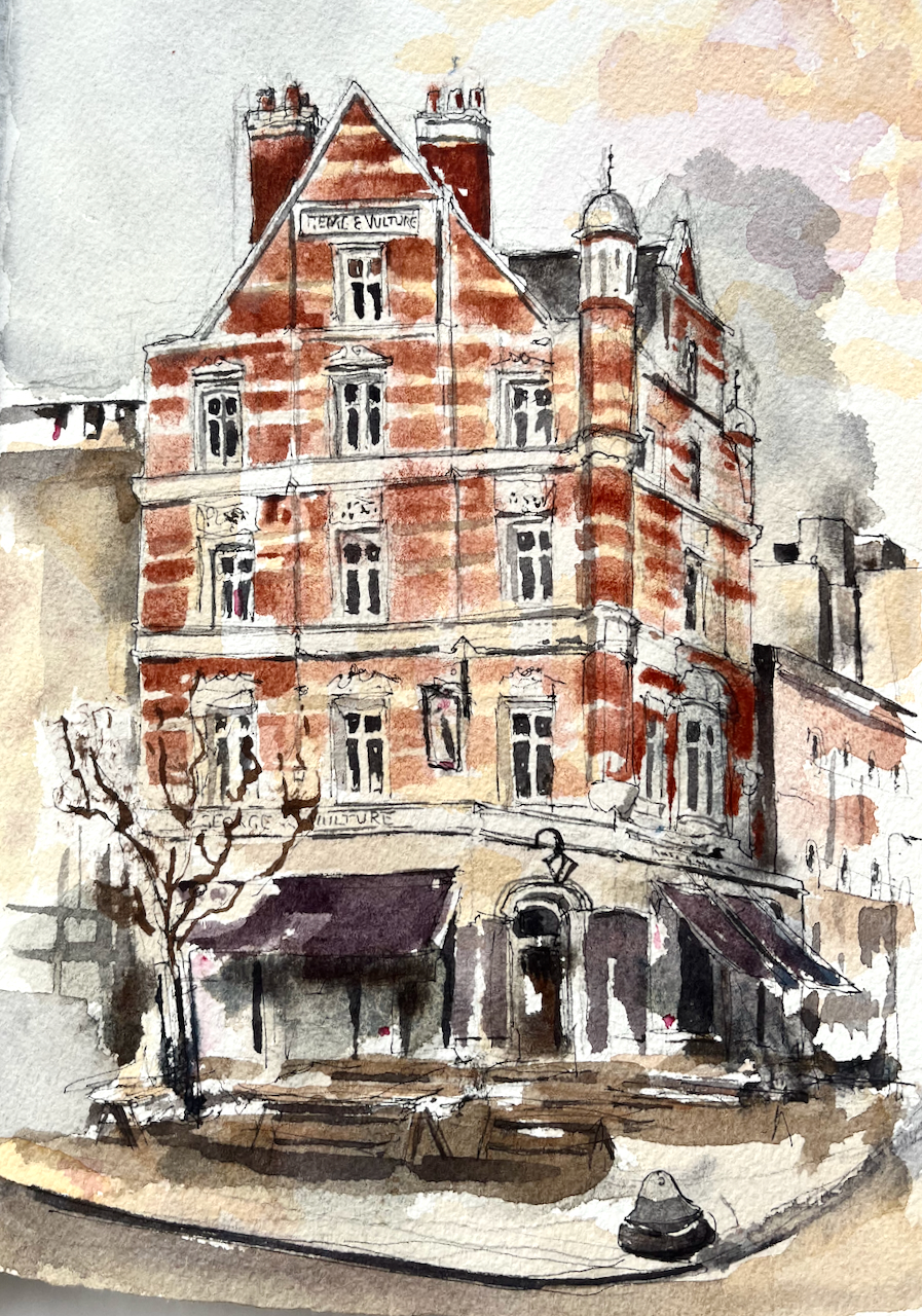
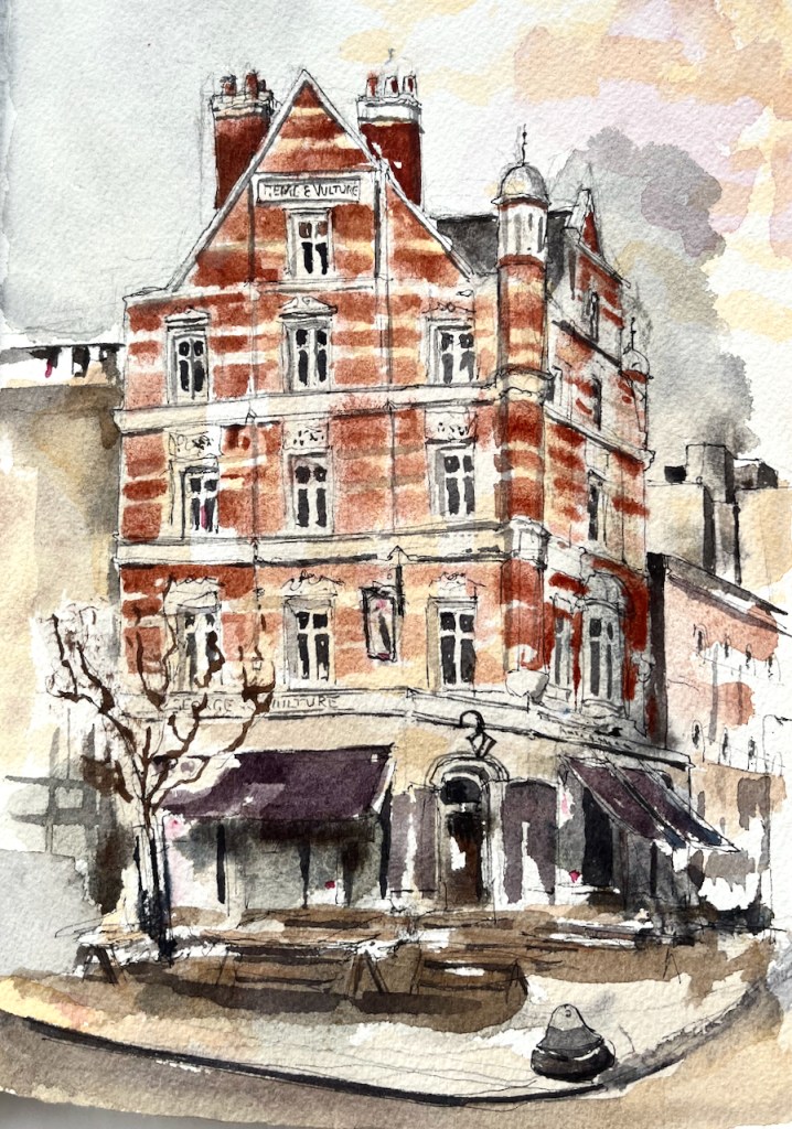
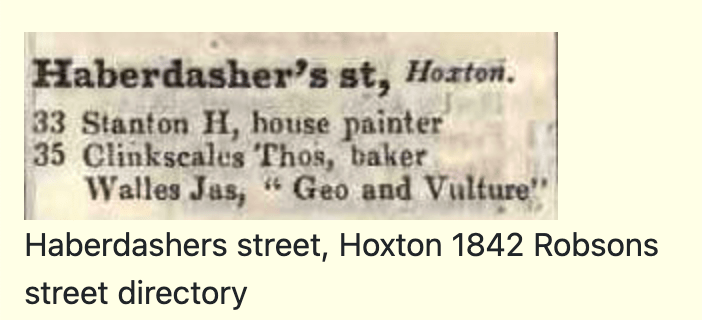
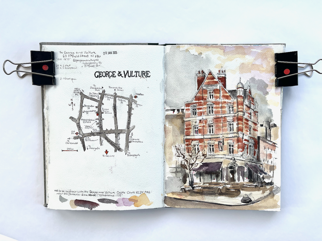
The original address of the pub was 35 Haberdashers Street. Much of the land round here was owned by the Haberdashers Livery company, bequeathed to them by Robert Aske, a merchant (1619-1689). In 1862 the Haberdashers company offered new leases on properties here:
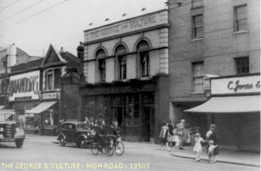
Haberdashers’ Estate, Hoxton. A free public-house, adjoining the high road, and 66 dwelling-houses. To be let, by tender, by the worshipful Company of Haberdashers, Governors of Aske’s Charity Estate, Hoxton, on repairing leases, for 21 years, from Midsummer, 1863:— The free public-house, known as the “George and Vulture,” situate in Haberdashers’ Street, which might be enlarged so as to form a corner house to the main street. Also 12 houses, Nos. 1 to 12, Haberdashers’ Place, which may be converted into shops, at the option of the lessee. Also 19 houses, Nos. 1 to 19, on the south side of Aske’s Terrace; and 35 houses, Nos. 1 to 35, on the north and south sides of Haberdashers’ Street, in the parish of St. Leonard, Shoreditch, in the county of Middlesex. Plans of the property, and specifications of the repairs to be performed, may be seen at the offices of Mr. William Snooke, the surveyor to the governors, No. 6, Duke Street, London Bridge, between the hours of 10 and 4 o’clock. Tenders, in writing only, are to be sent in to Haberdashers’ Hall, Gresham Street West, on or before Thursday, the 27th day of November 1862.
City of London Livery Companies Commission, ‘Report on the Charities of the Haberdashers’ Company: Appendix’, in City of London Livery Companies Commission. Report; Volume 4(London, 1884), British History Online https://www.british-history.ac.uk/livery-companies-commission/vol4/pp478-486 [accessed 30 January 2025].
One of the properties to be let, as you see, was “The free public-house, known as the “George and Vulture,” situate in Haberdashers’ Street, which might be enlarged so as to form a corner house to the main street.”
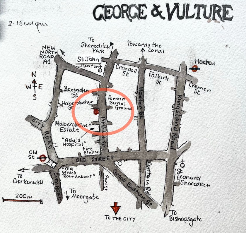
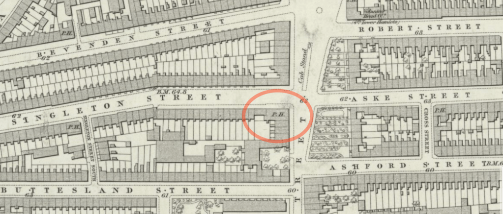
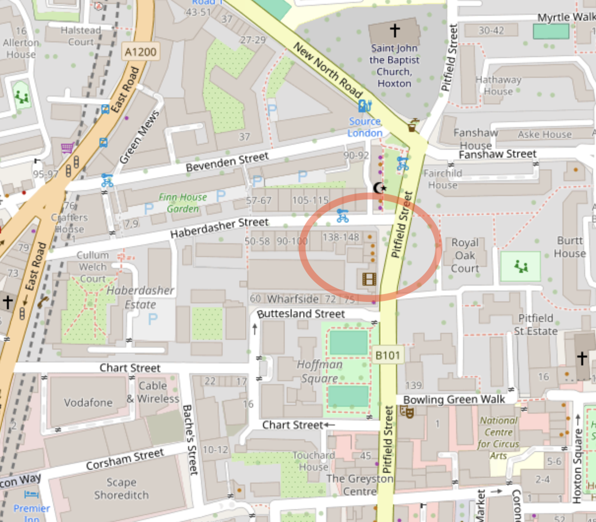
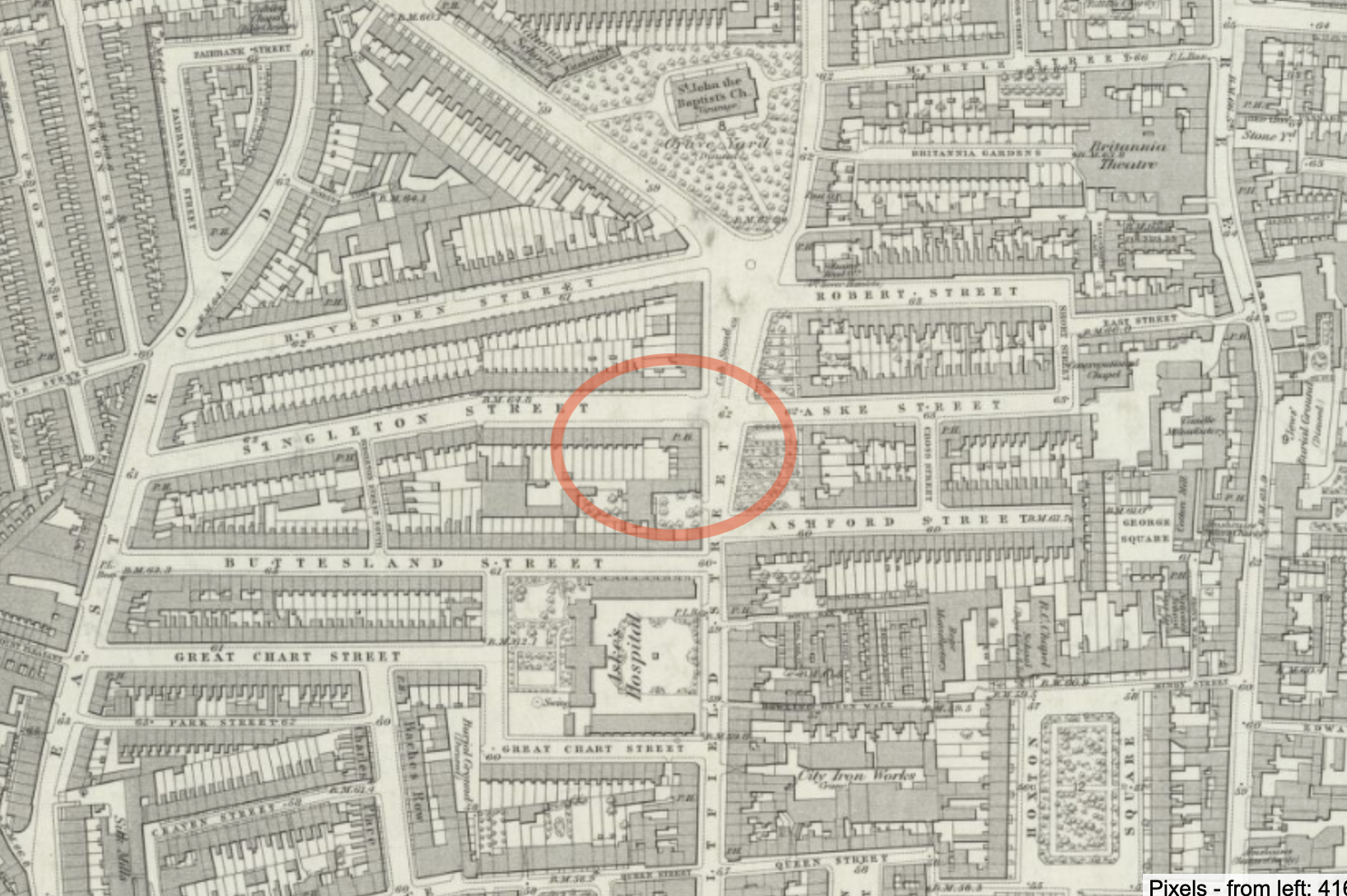
Evidently the lessee enlarged the pub, as the Haberdashers Company suggested, and it does indeed form a corner house to the main street. The address of the pub is now 63 Pitfield Street. Here is the 1877 map which shows the pub as a “corner house”. The road layout on the west of Pitfield Street is largely unchanged. Singleton Street is now called Haberdasher Street.
1972 Ordnance Survey map, from the National Library of Scotland, re-use: CC-BY (NLS)
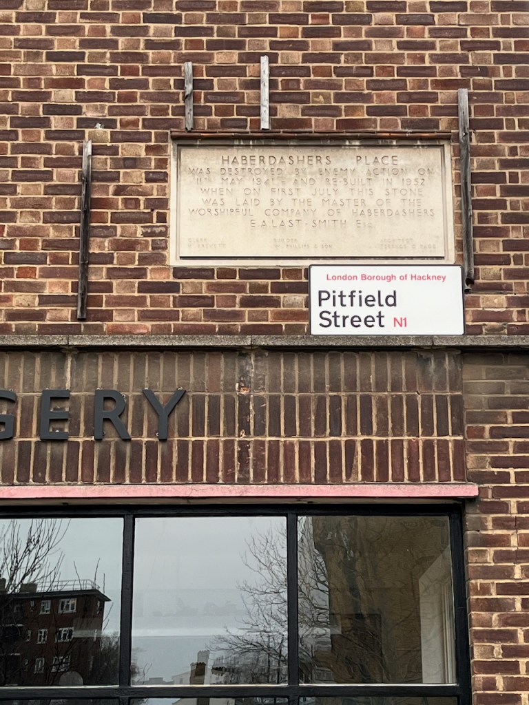
The area was bombed extensively in the 1939-45 conflict, but the pub survived. Bomb maps show that the area adjoining Aske Street on the other side of Pitfield Street was damaged beyond repair. A plaque on the row of shops just North of the pub describe the re-building.1
“Haberdashers Place was destroyed by enemy action on 11 May 1941 and re-built in 1952 when on first July this stone was laid by the master of the Worshipful Company of Haberdashers S.A. Last-Smith. Clerk W B(?)revett – Builder W Philips & Son -Architect Terence C Page” Photo: January 2025
Here is the 1872 map alongside a modern map. You see that the rows of terraced houses on the east of Pitfield Street have gone, and are replaced by low-level residential housing blocks with a different layout.
(c) openstreetmapcontributorsNational Library of Scotland CC-BY(NLS)
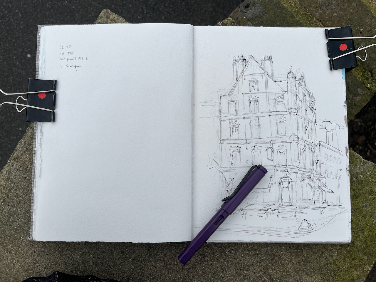
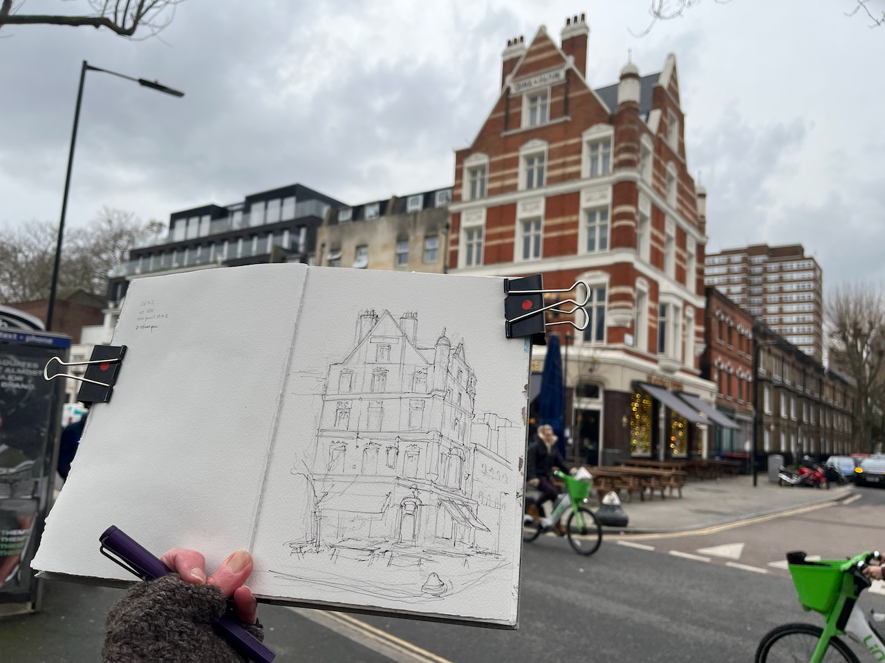
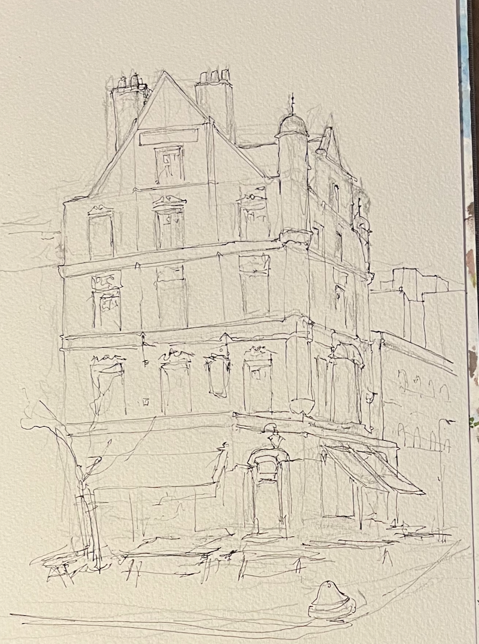
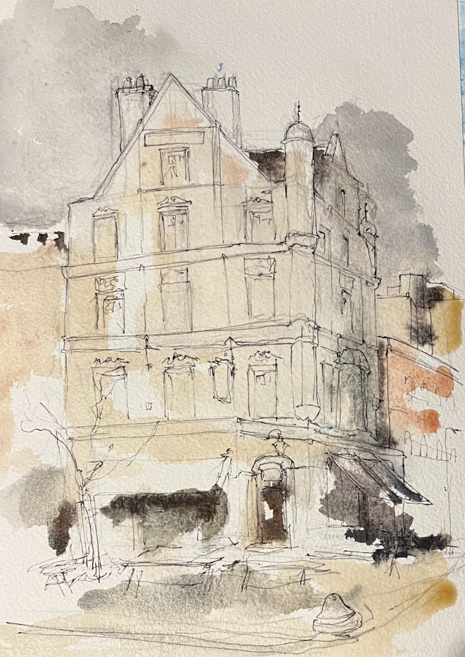
I sketched the pub on a cold January day. I did the pen and ink on location and then retreated to my desk to do the colour.
Sketchbook 15
I cannot discover why the pub is called the “George and Vulture”. Why “vulture”? There is another pub in London of the same name, in the alleys of the City close to the Jamaica Wine House. That one was established in 1175. There was also a George and Vulture in Tottenham, 490 High Road, N172, from around 1759, now demolished.
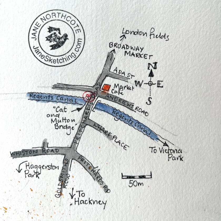
Here is the Market Café, which is at the South end of Broadway Market, near the canal.
Market Café, Broadway Market, Hackney E8, sketched 12 November 2024, 12″ x 9″ [sold]
I’ve sketched the Market Café before, and written about it on this post. This latest sketch was a commission to celebrate a happy event which took place there.
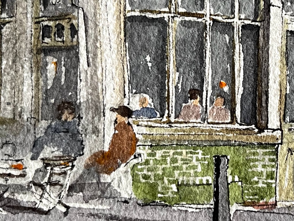
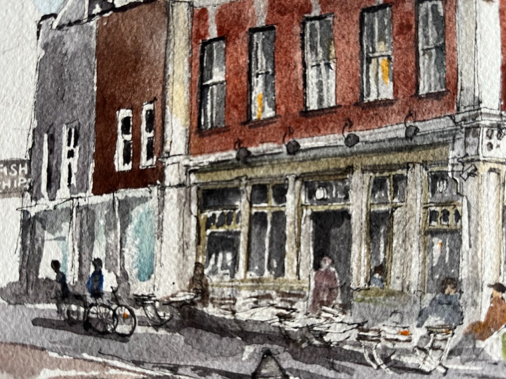
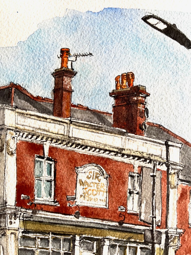
Here are some details from the sketch:
It was a bright and cold day. I did the pen and ink on location.
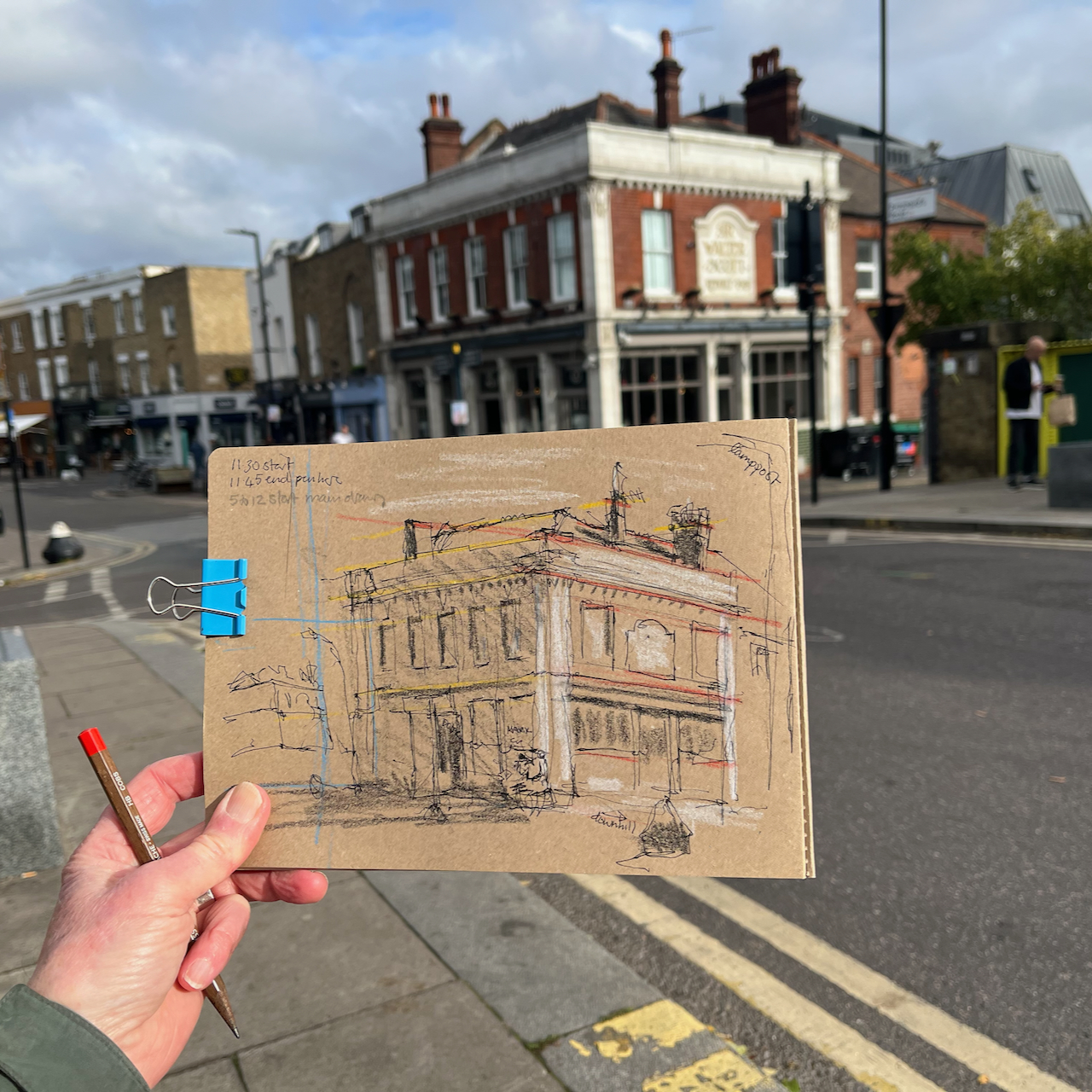
preliminary sketchPacking up.Working on location
The photographer Nick Hillier came by and took some photographs of me working, which he kindly sent me later.
Sketching on location, image credit: Nick Hillier. Pen is a Lamy Safari.
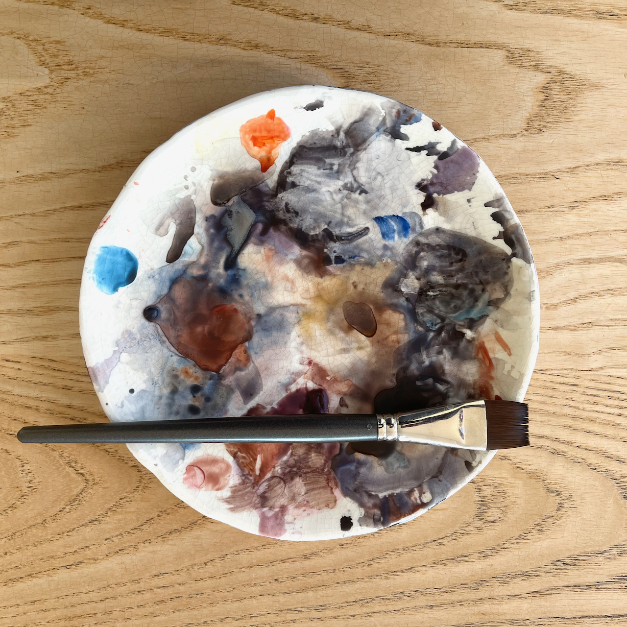
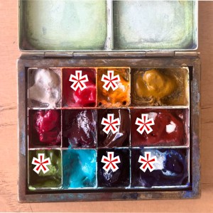
I added the colours at my desk. The colours are:
for the brickwork: Fired Gold Ochre
all the greys and blacks are: Ultramarine Blue plus Burnt Umber
the sky is Phthalo Blue Turquoise
the green tiles are Serpentine Genuine
there’s a bit of Permanent Yellow Deep on some of the highlights and some dots of Transparent Pyrrol Orange
the fine white lines are made by using a rubber resist gum. I use Pebeo drawing gum.
For my current palette see this link. I have 12 colours in my palette. For most pictures I fewer colours. This picture used about 7 colours.
Thank you to my client H for the commission and for allowing me to post this image here.
I’ve sketched around the Broadway Market area before. See this link for a sketch of Climpson Coffee, and here is a sketch done at E5 bakery on the other side of London Fields.
Sketch location
Click a button below to share this post online, email it, or print it:

 Jane Sketching