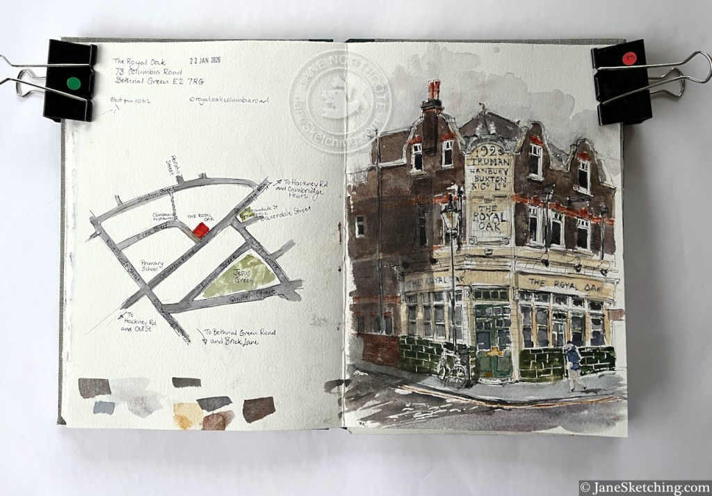
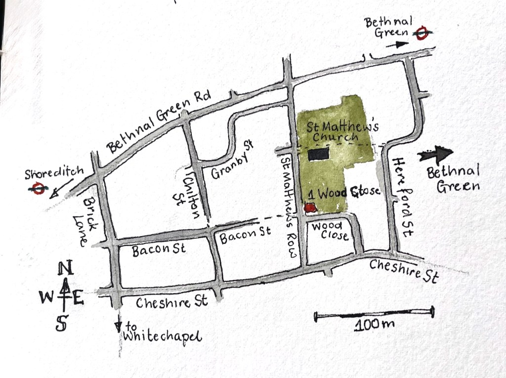
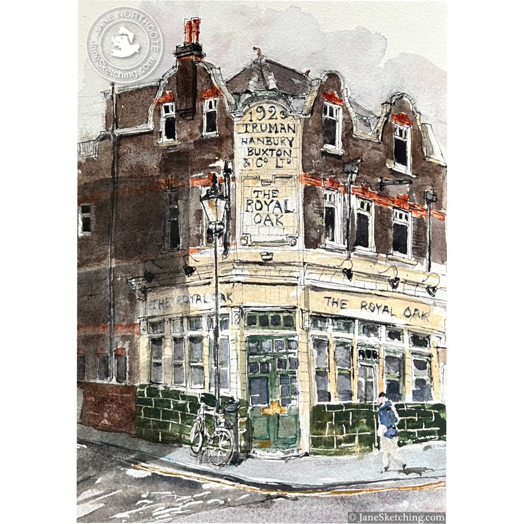
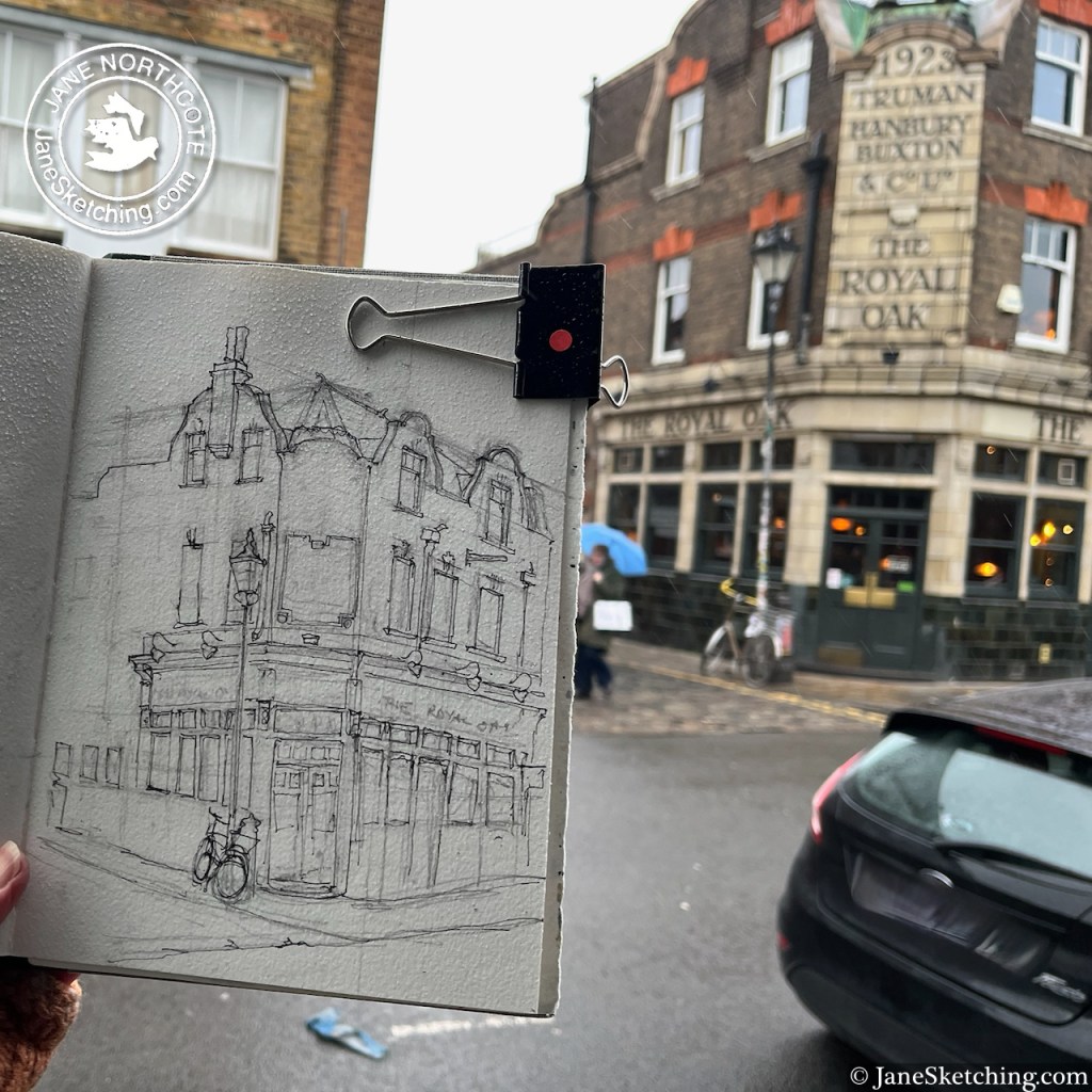
Columbia Road flower market is famous. It takes place on Sundays from 8am to 2pm “whatever the weather”. This magnificent pub, The Royal Oak, is about half way along the road.
Columbia Road has its own website. It says
“We are one of the few streets in the country composed of sixty independent shops. Small art galleries sit next to cup cake shops, vintage clothes stores, English and Italian delis, garden and antique shops. There is also a wealth of great pubs, cafes and restaurants.”
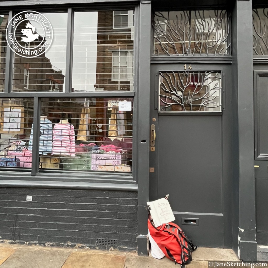
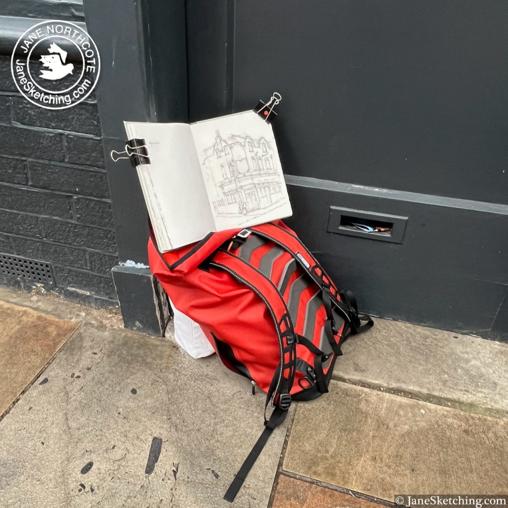
This is true, although you need to know that many of these shops are open only Friday-Sunday. I was there on a rainy Thursday. This was probably just as well, because it meant I had a good view of the pub from the doorway of the shop opposite.
It was the nicest-smelling location for sketching. There was a coffee shop opposite distributing coffee-and-croissant aromas into the damp air, and somewhere nearby must have been selling soap, because there were wafts of tangerine, cedar, and lavender, smelling clean and unusual.
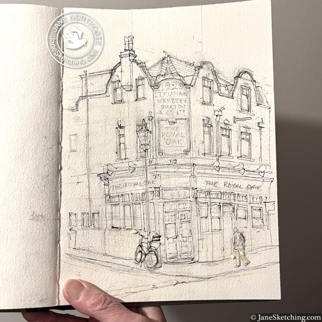
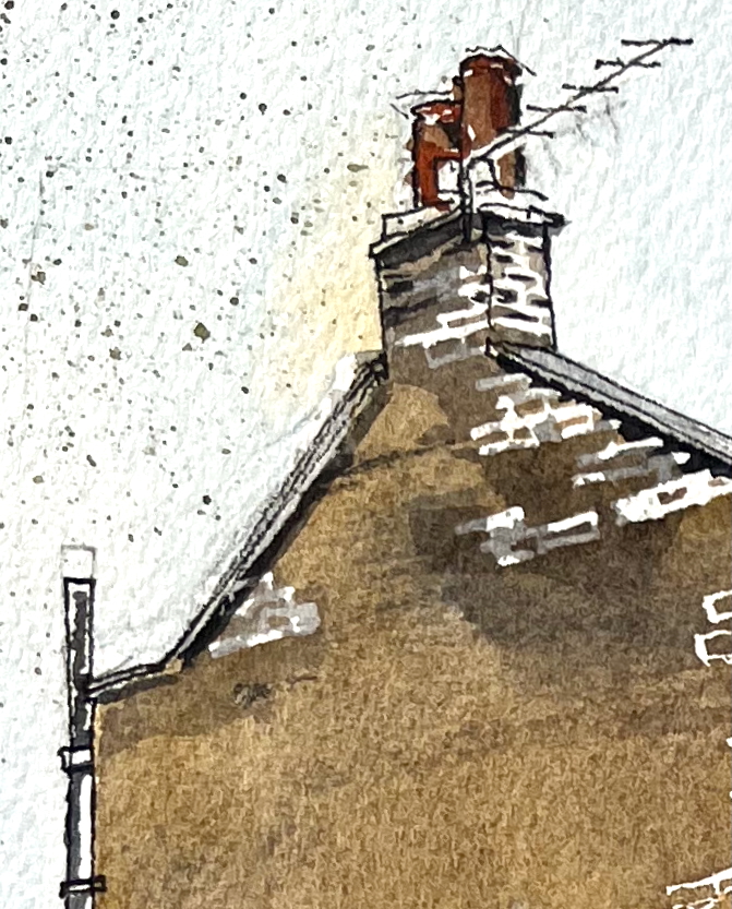
The pub is Grade II listed, listing reference 1426765. The present building is from 1923, built to the designs of Arthur Edward Sewell, for Trumans Brewery. The listing notes “Trumans distinctive green mottled tiling” which you can see in my sketch. According to the listing, there was a previous pub here, of the same name, from before 1842. The listing also maintains that this is an “early pub” with a licence to open from 9am on Sundays to serve the market-goers. This doesn’t seem to be the case any more, according to the pub website. But if you know different, or if you are the pub, please correct me!
It is now a Youngs pub, open every day from 12 noon.