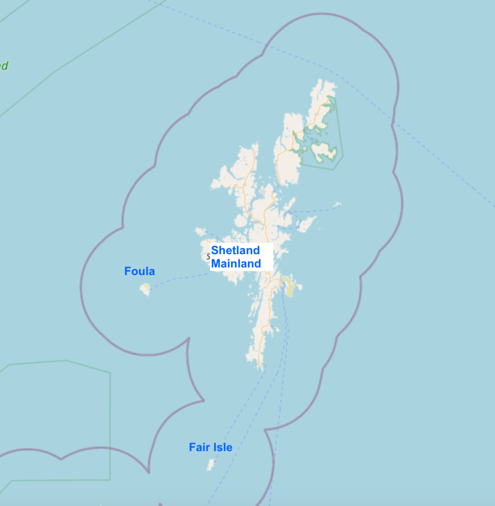
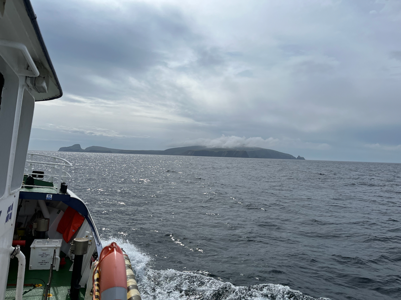
Fair Isle is a small island some 28 miles south of Shetland, between Orkney and Shetland. It is 3 miles long and 1 mile wide.


Map (c) Open Street Map contributors
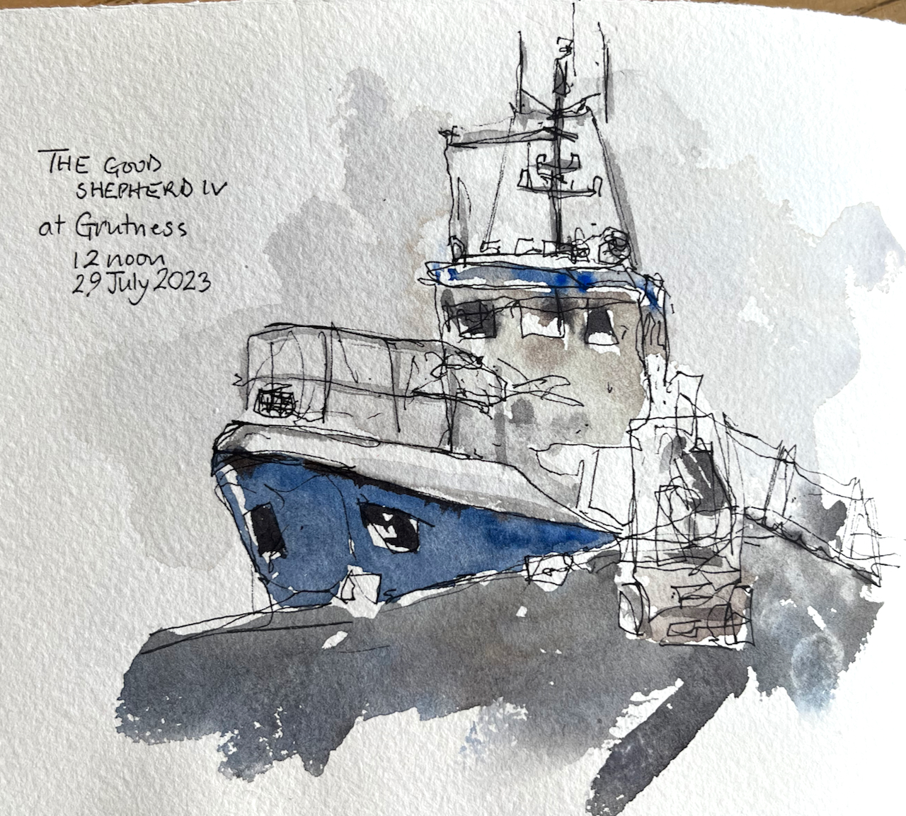
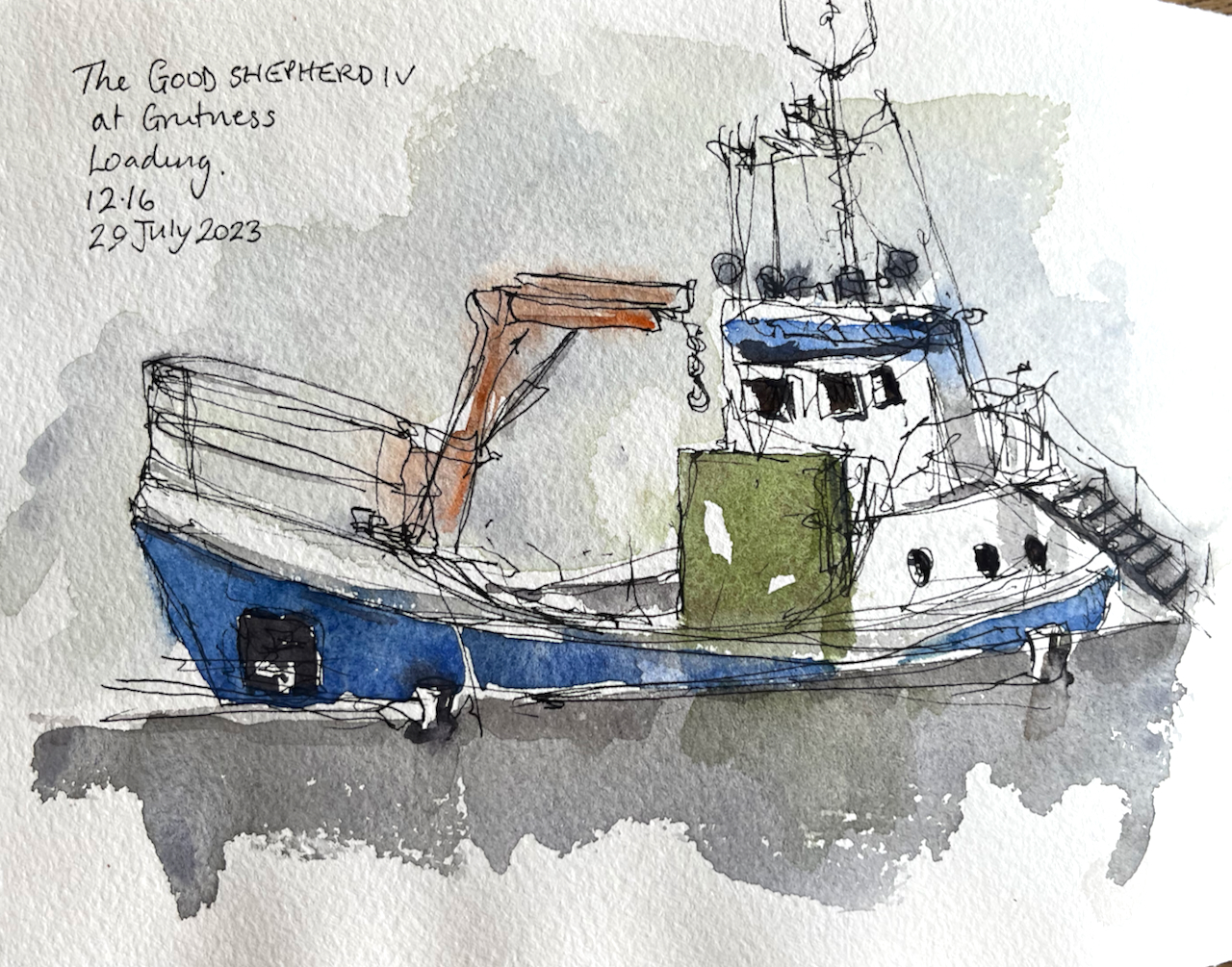
I travelled there by the boat “Good Shepherd IV”.
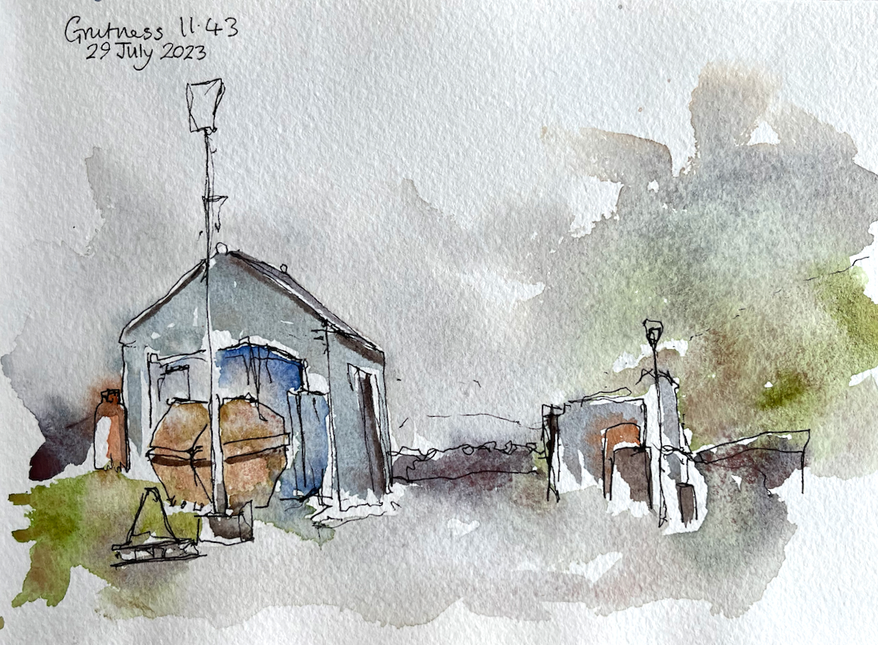
The ferry leaves from the pier at Grutness which is close to Sumburgh airport at the southern tip of Shetland mainland.
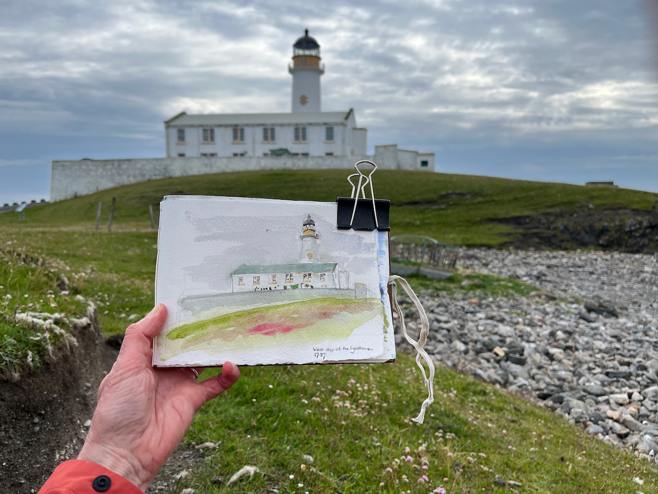
Fair Isle has two lighthouses: the North Lighthouse and the South Lighthouse. I sketched the South Lighthouse:
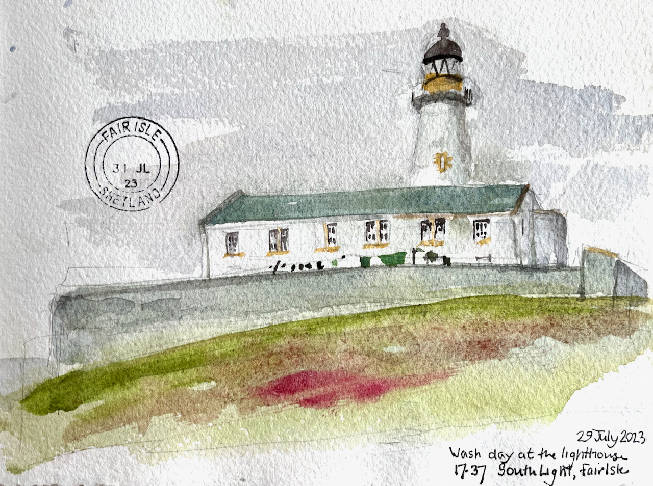

Both lighthouses were designed by David A Stevenson and built in 1892. Both are still functional, now automated. The South Lighthouse light is “Fl (4) W 30 seconds” : a group of 4 flashes of white light every 30 seconds. The North Lighthouse flashes white twice every 30 seconds.
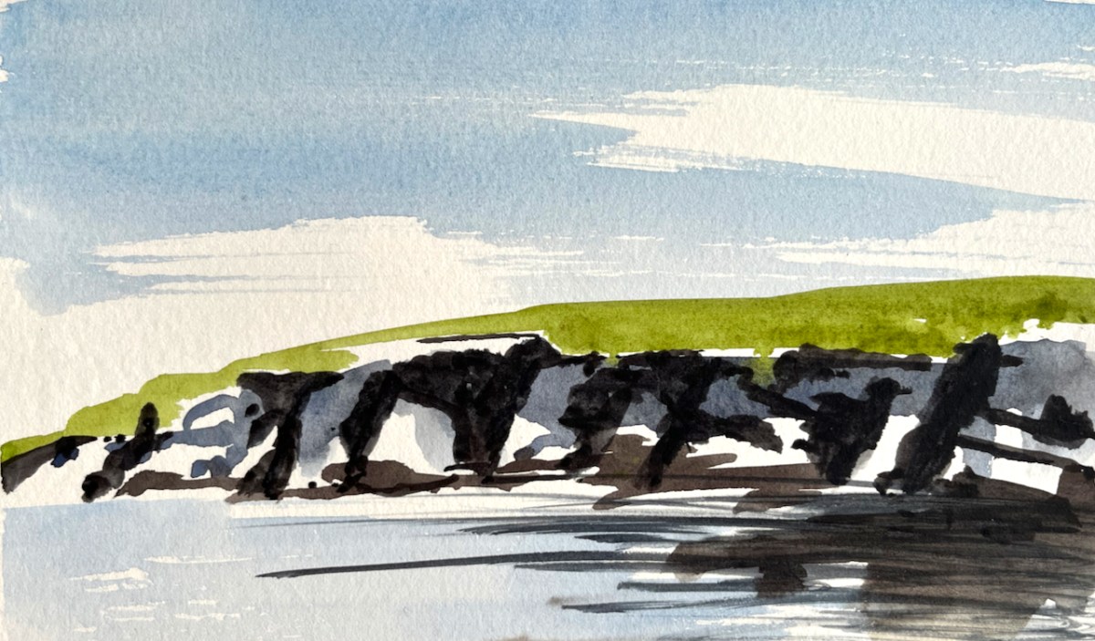
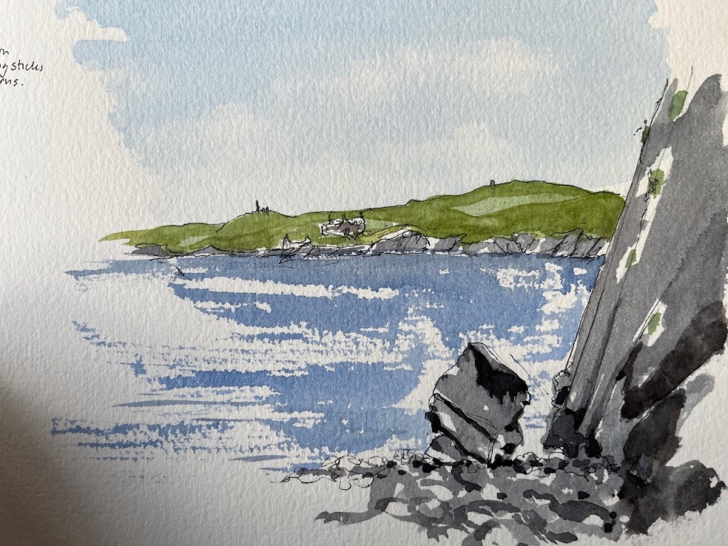
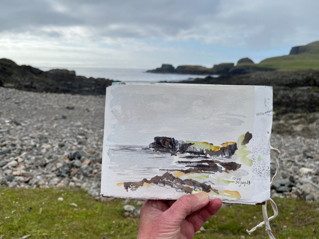
Here is a view of the cliffs called Mathers Head. It’s the view from the same spot where sketched the South Lighthouse, but looking out towards the west.

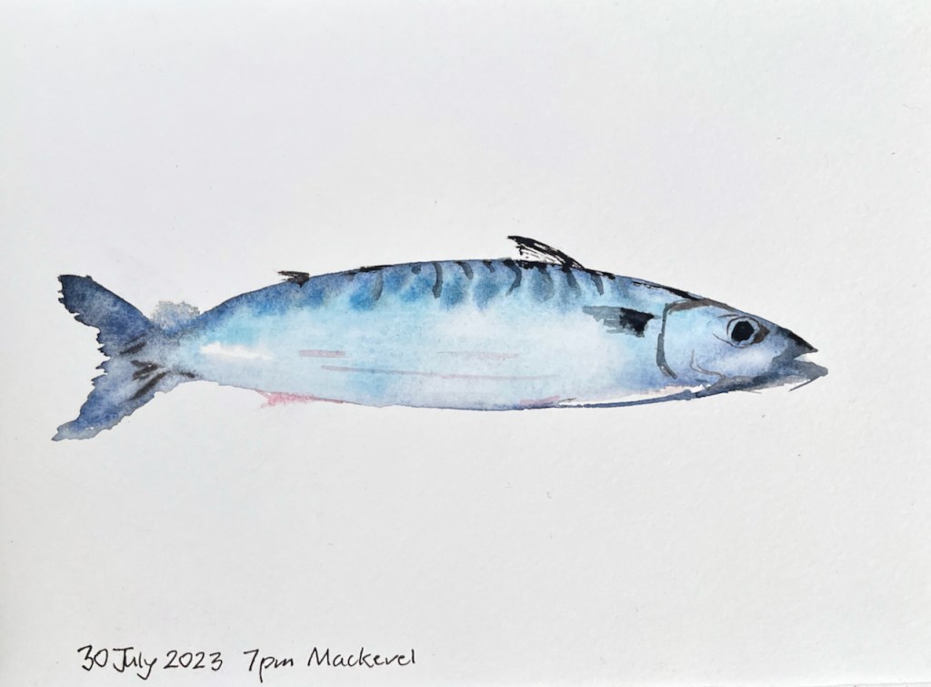
I was staying at “The Auld Haa” which is just a few hundred yards from the lighthouse. When I returned from drawing this scene, Tommy, who runs the guest house, called out, “Come and choose a fish!”. There was me and two other women staying at the guest house at that point. Bemused, we all made our way round the side of the house to find a cheerful fisherman standing by his car trailer on the small road. The trailer was laden with fish. The fish were in buckets. There were cod about two feet long, and mackerel, and a whole bucket of lobsters. The fisherman was Stephen, who I recognised as one of the ferry crew.
With suggestions and promptings from his three guests, Tommy made his selections. I was keen on the mackerel. Others opted for white fish. Tommy carried the bucket back to the house.
After this excitement I was resting on the bench outside the house when Tommy called out to me, “Would you like to do a painting of the mackerel?”.
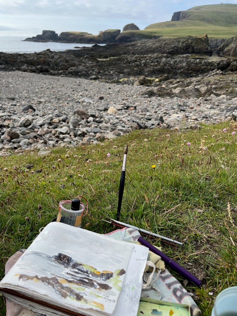
Yes, I would like to do a painting of the mackerel, even though I was tired, even though it was evening, even though I’d already done a long walk, a dip in a rockpool, and several paintings of headlands. How often do you get invited to paint a mackerel? Seize the moment. Tommy brought out the mackerel on a plate, and I settled down to drew, while the hens scraped around on the grass, and small birds scuttled in the hedge.
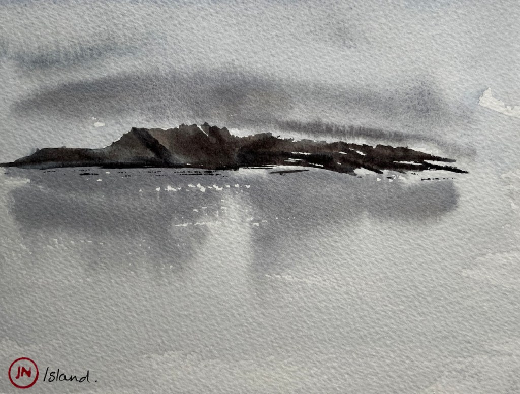
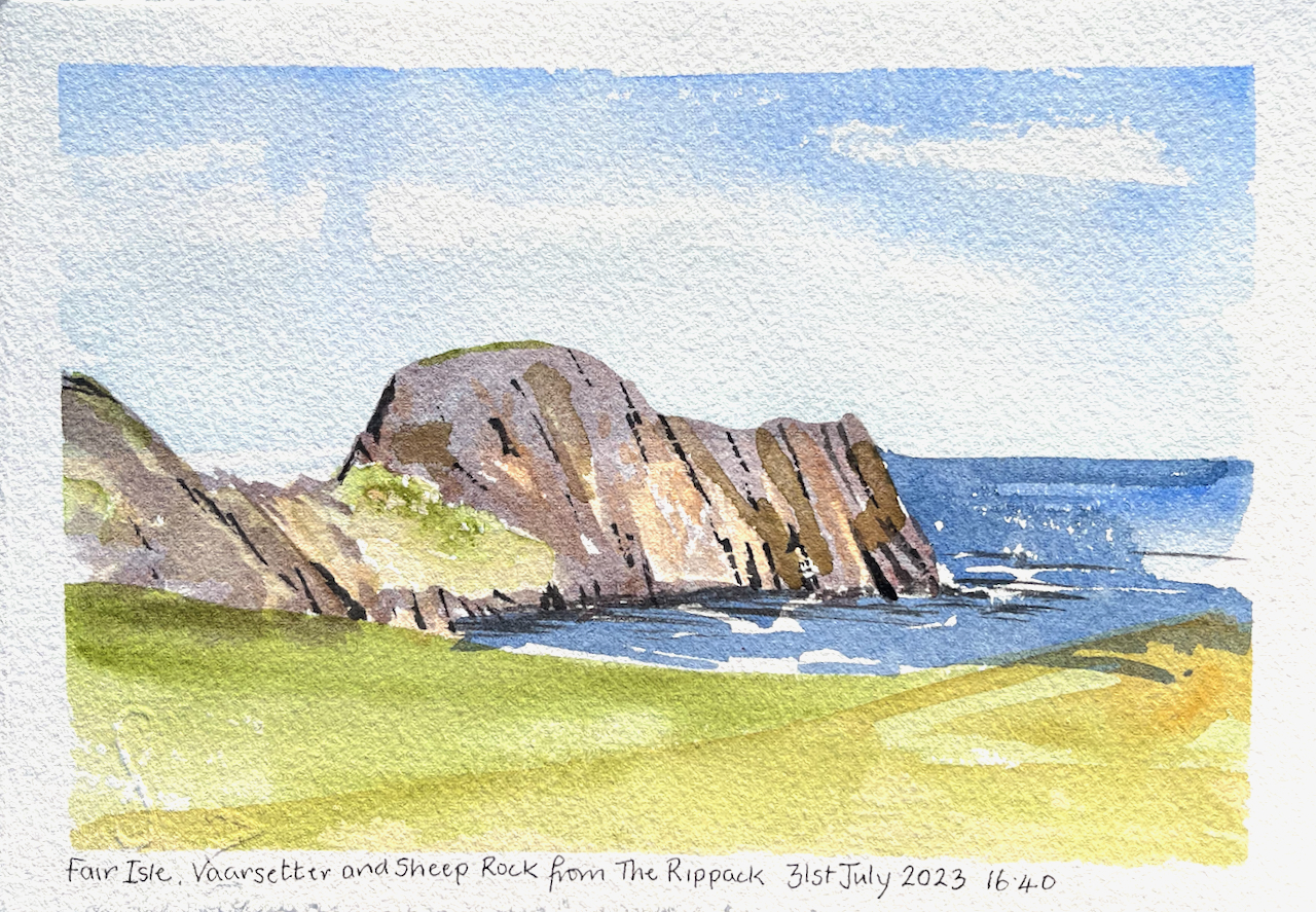
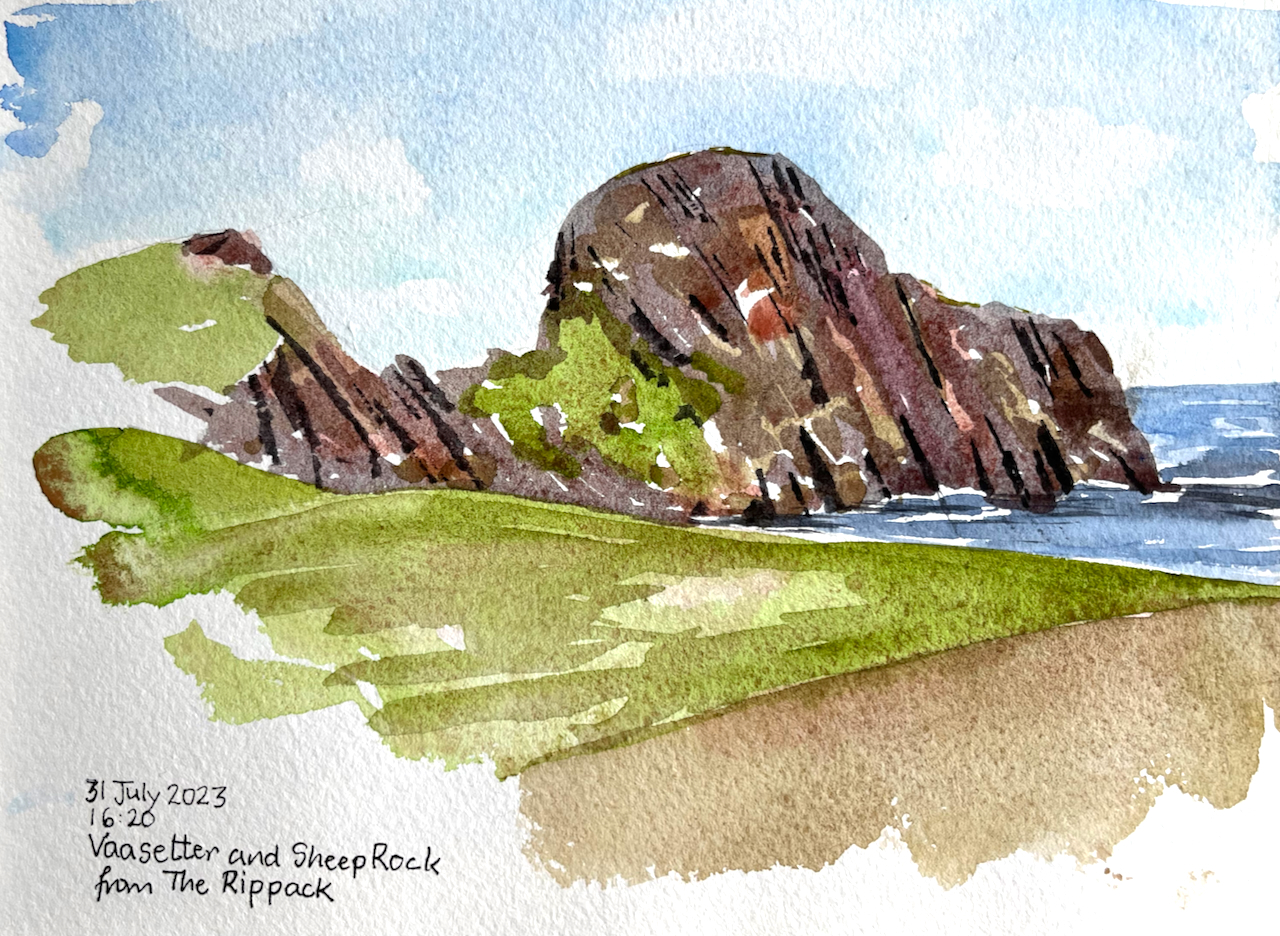
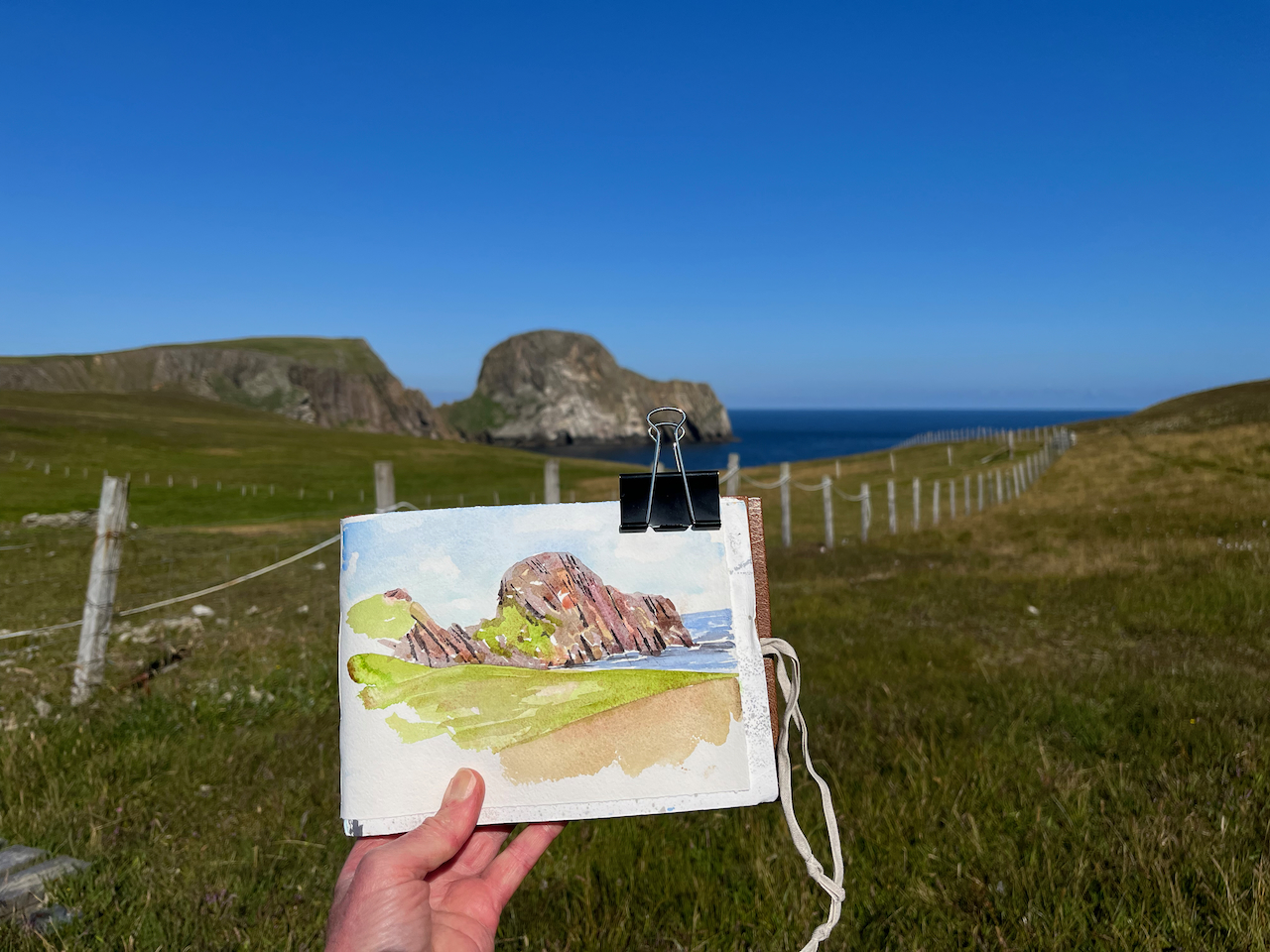
On another day I sketched the huge headland called “Sheep Rock”.

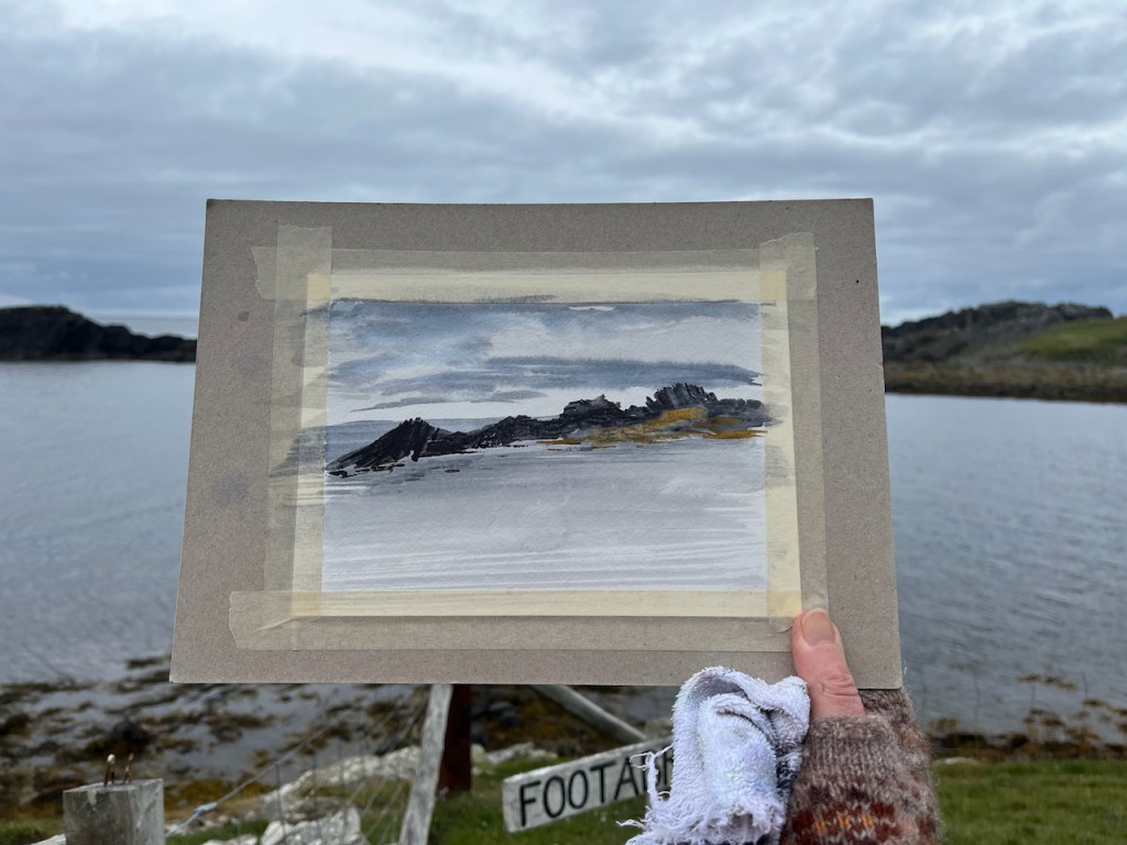
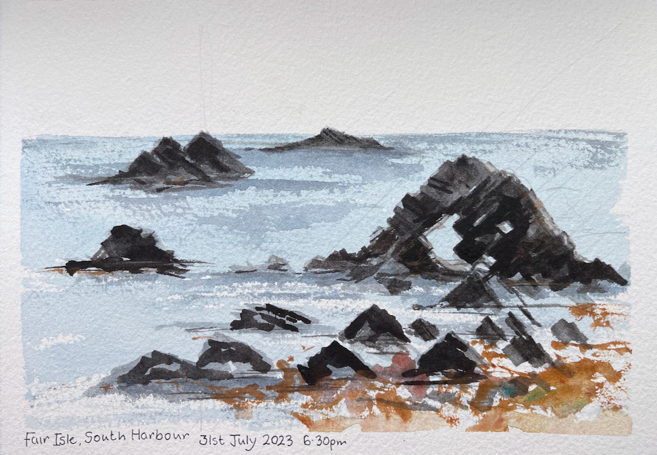
Here is the spectacular rock arch on South Beach, which is near the Auld Haa.

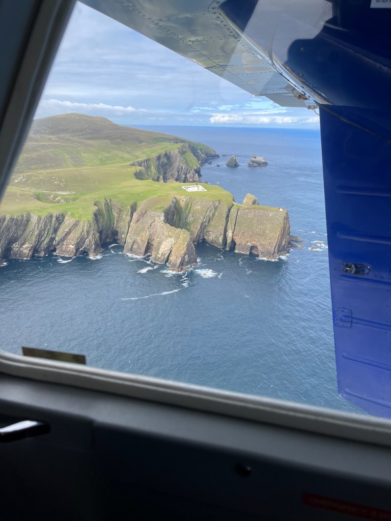
I was only on Fair Isle for three days. It’s an extraordinary place. Here was my final view of the island as I left on the tiny plane. The small square is the North Lighthouse, high up on its cliff.