London Water and Steam Museum, Brentford, TW8 0EN

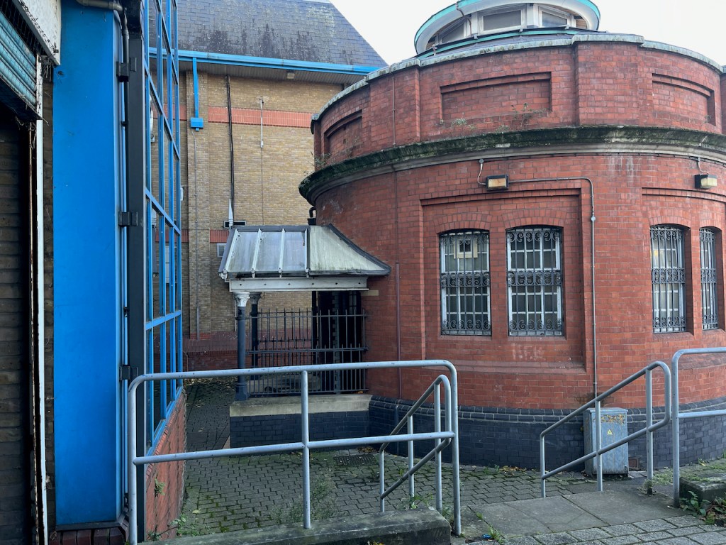
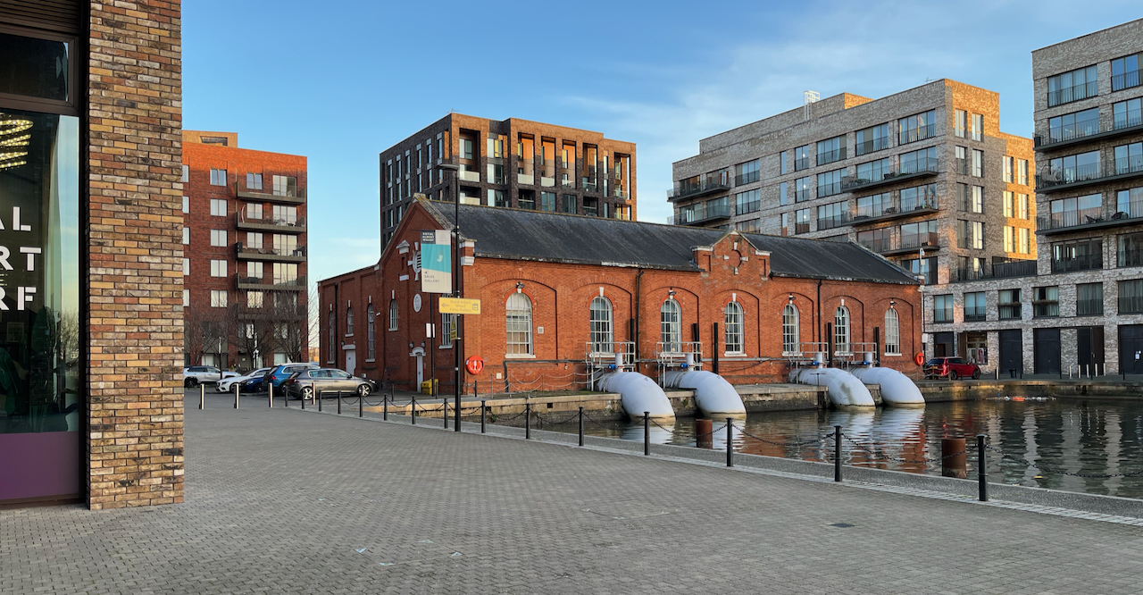
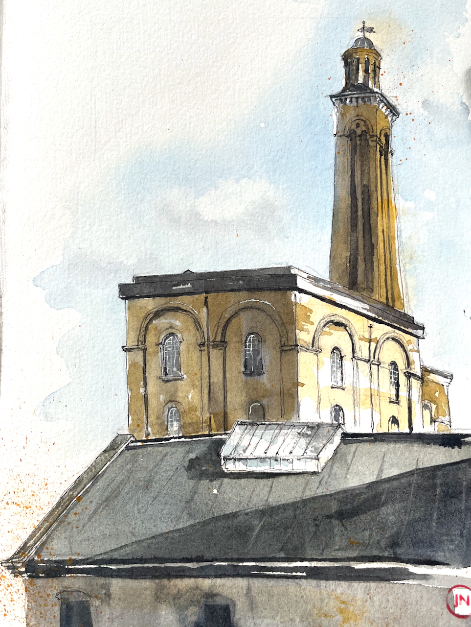
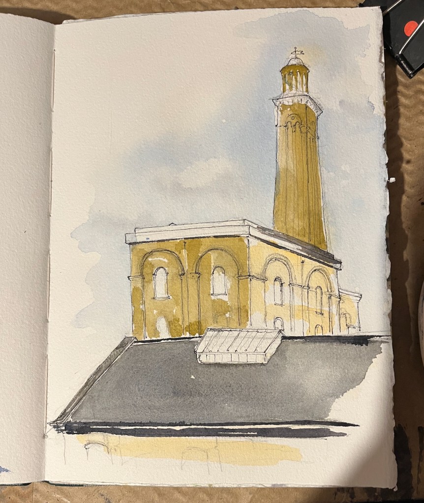
Here is the magnificent London Water and Steam Museum.

It’s definitely worth a visit if like me you are fascinated by steam engines. But there’s more. This museum is a whole education in the London drinking water and sewerage system: past and present.

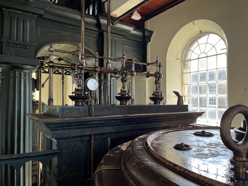
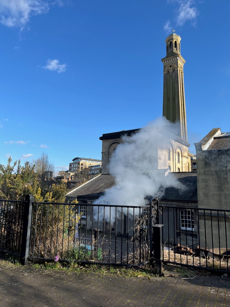
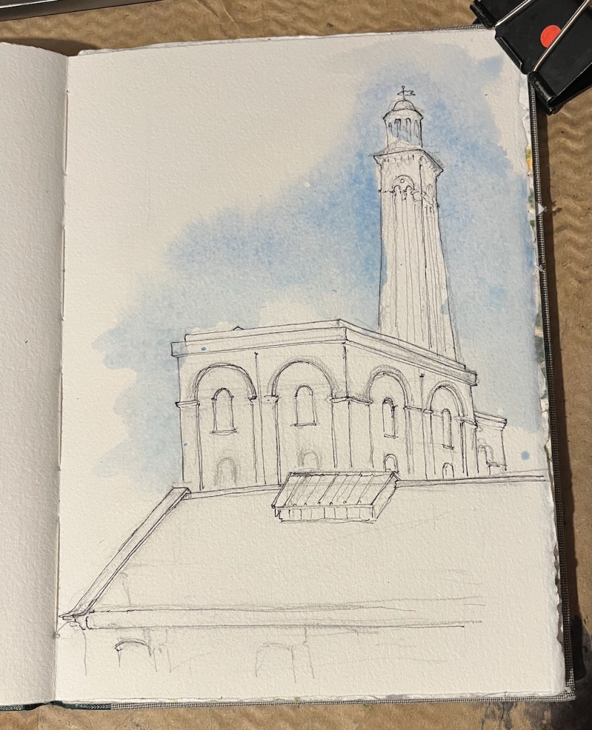
The building I’ve sketched houses the “100 inch pumping engine” and the “90 inch pumping engine”. These are steam pumps over a hundred years old. The inches refer to the diameter of the pump cylinder. Their job was to pump drinking water from the Thames to premises in London. The 90 inch engine started working in 1846 and the 100 inch started in 1871. They both retired in 1943, by which time the 90 inch had been going 97 years. The 100 inch gave a demonstration in 1958, which was the last time it pumped water. The 90 inch was restored to working order by enthusiasts in 1973, and now gives demonstrations in the museum. The 100 inch has yet to be restored.

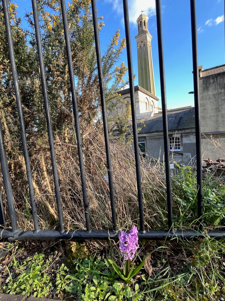
The tower in my sketch is not a chimney. It is a “standpipe tower”. It holds big vertical pipes and a reservoir to store water and regulate the pressure. The strokes from the steam engines created powerful surges of water. You don’t want those powerful surges going directly into the mains water supply, and as they might damage the pipes and surprise consumers. So the steam engines pumped the water up this tower instead. From there, the water flowed out to consumers smoothly.

Providing running water was a whole big problem in the Victorian era. The machines were gigantic so that they could generate sufficient water pressure to get the water up to the second floor of the new Victorian houses which had bathrooms upstairs. That’s not something we normally think about: but I can see it’s an issue.

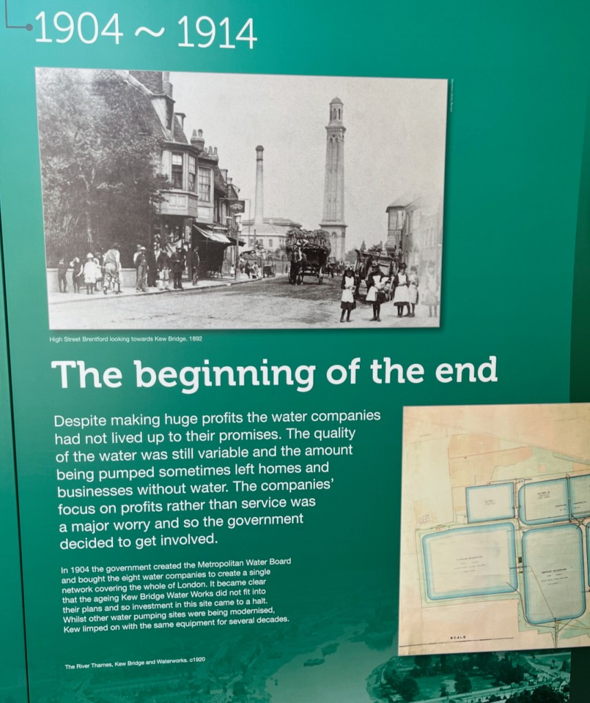
Then there was the whole big issue of the purity of the water, and whether it was actually drinkable. There were a number of private water companies at the time, in competition with each other, and vying for business, making claims for their water quality, and returning dividends to their shareholders. This was the late 19th century – 100 or so years ago.

A display panel soberly tells us:

“Despite making huge profits the water companies had not lived up to their promises. The quality of the water was still variable and the amount being pumped sometimes left homes and businesses without water. The companies’ focus on profits rather than service was a major worry and so the government decided to get involved.
In 1904 the government created the Metropolitan Water Board and bought the eight water companies to create a single network covering the whole of London. …

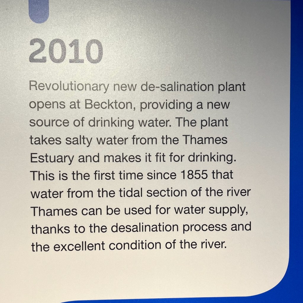
As well as history, I learned about today’s drinking water.

For example: did you know that 10% of London’s drinking water is de-salinated water from the Thames estuary? The “revolutionary new de-salination plant” opened in 2010:

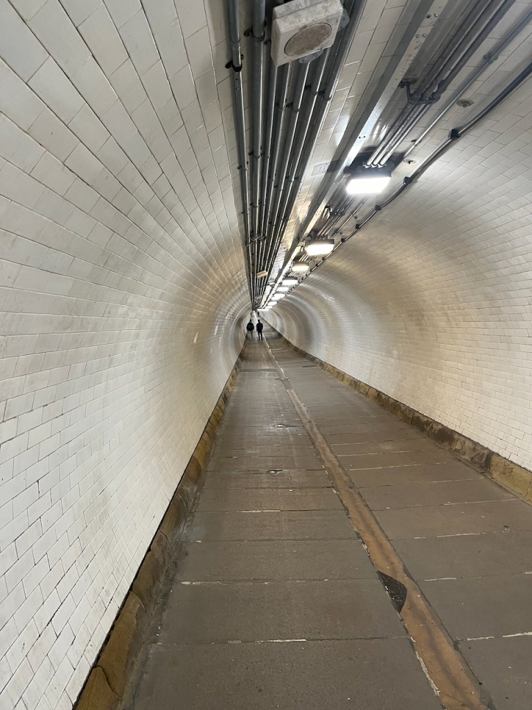
I watched a gripping – and somewhat alarming – video of heroic engineers cautiously making their way down soaking brick-lined pipes in the sewers below London streets. They were down there to inspect and clear blockages. I also saw the “rat” robots that can be sent down the smaller sewers – it’s a tough environment for technology.

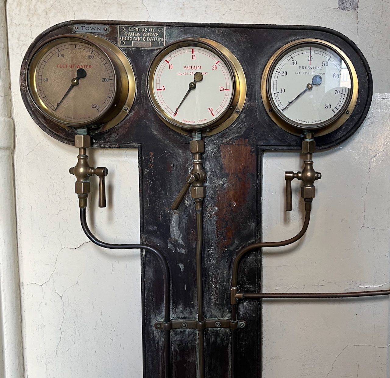
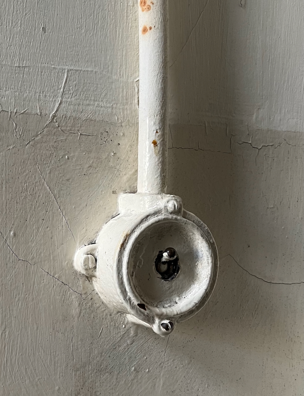
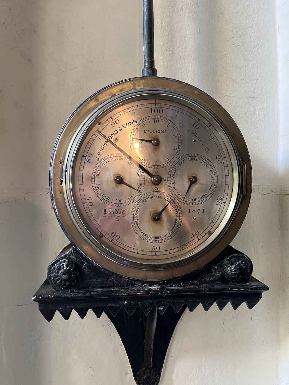
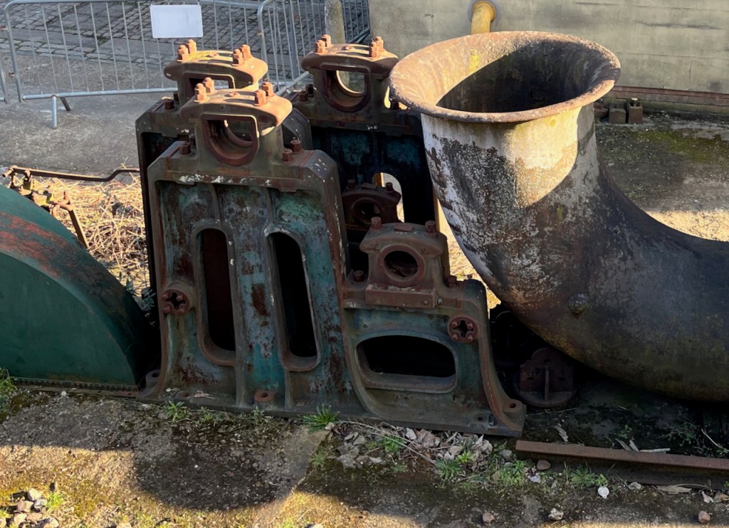
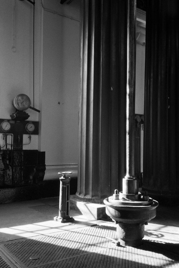
As well as all this gripping factual information, there’s much of strange beauty in the machinery. I particularly enjoyed the devices and dials.

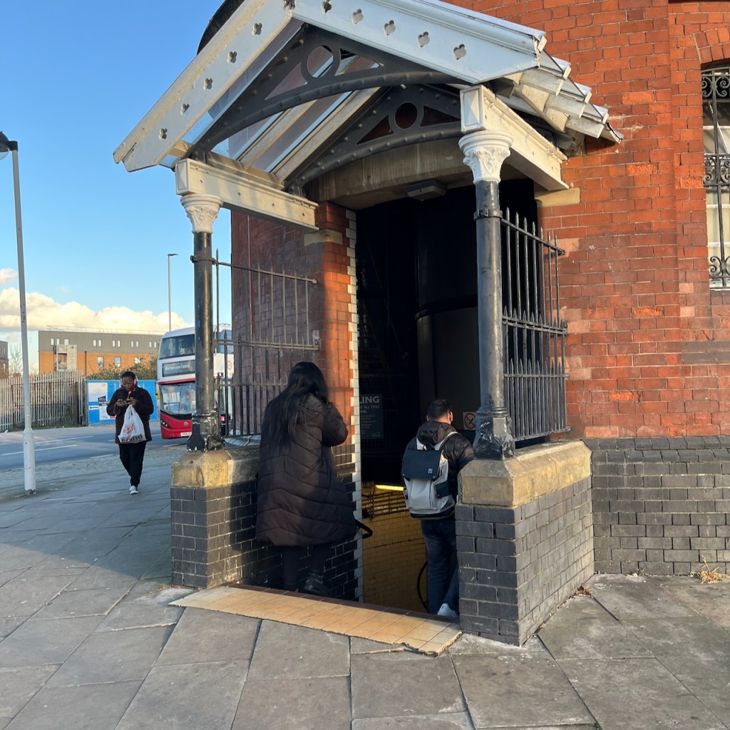
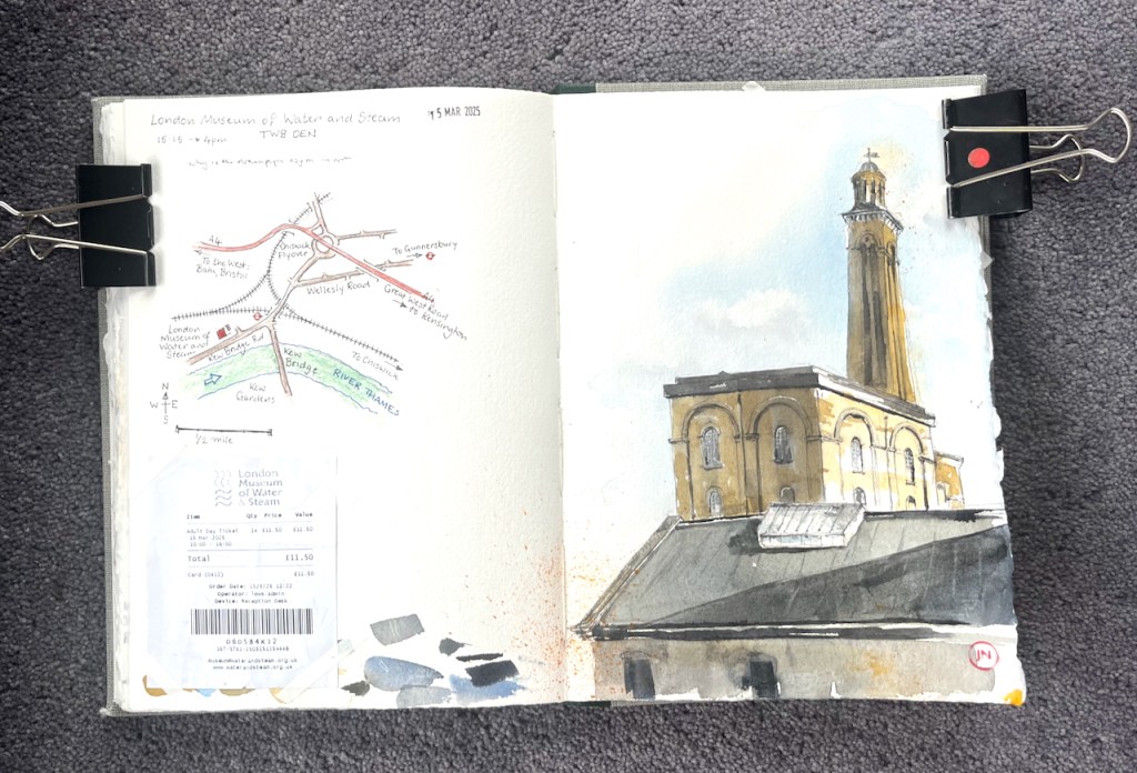
Definitely recommended. It’s on the underground. No café: take a picnic to eat at their indoor tables.

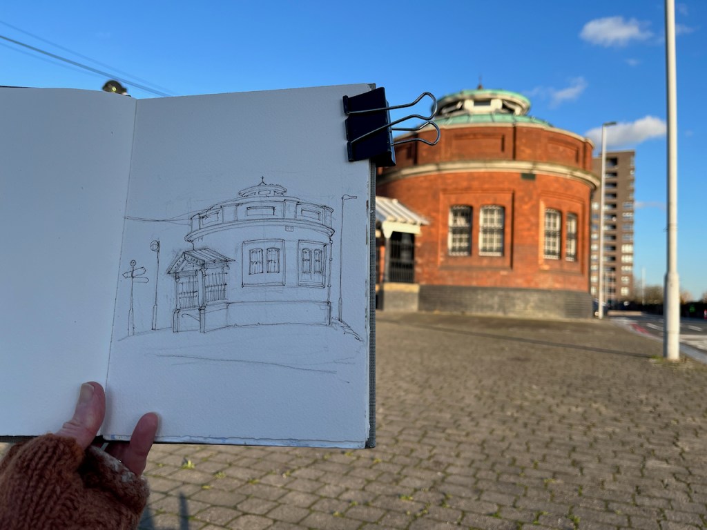
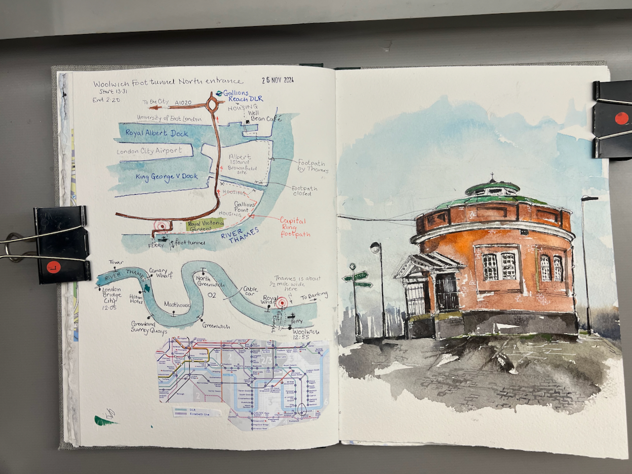
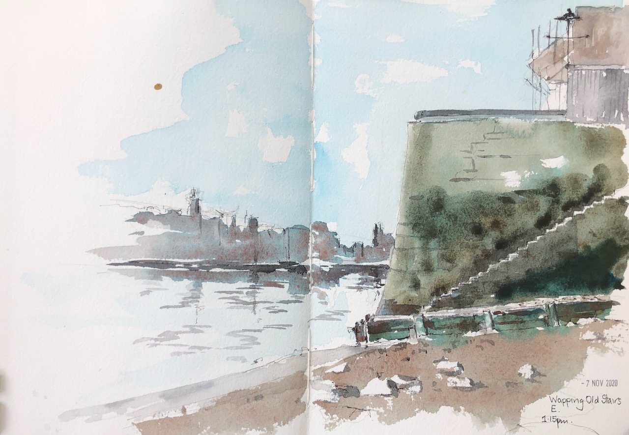
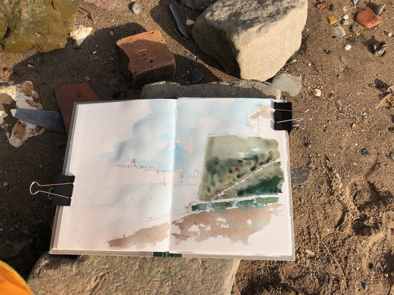
It closes at 4pm – I managed to do the sketch from the garden, just before they closed the gates.

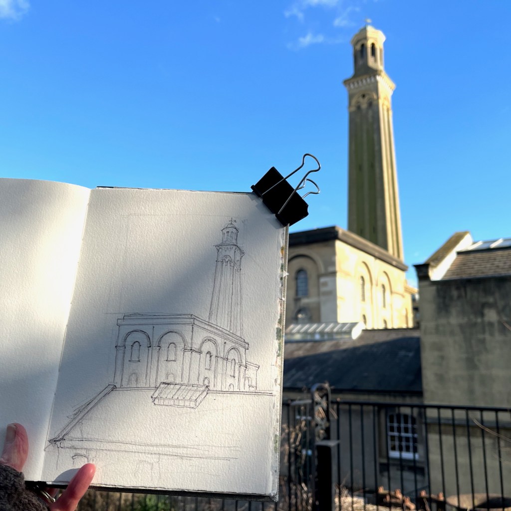
I added the colour later.

Sketchbook 15

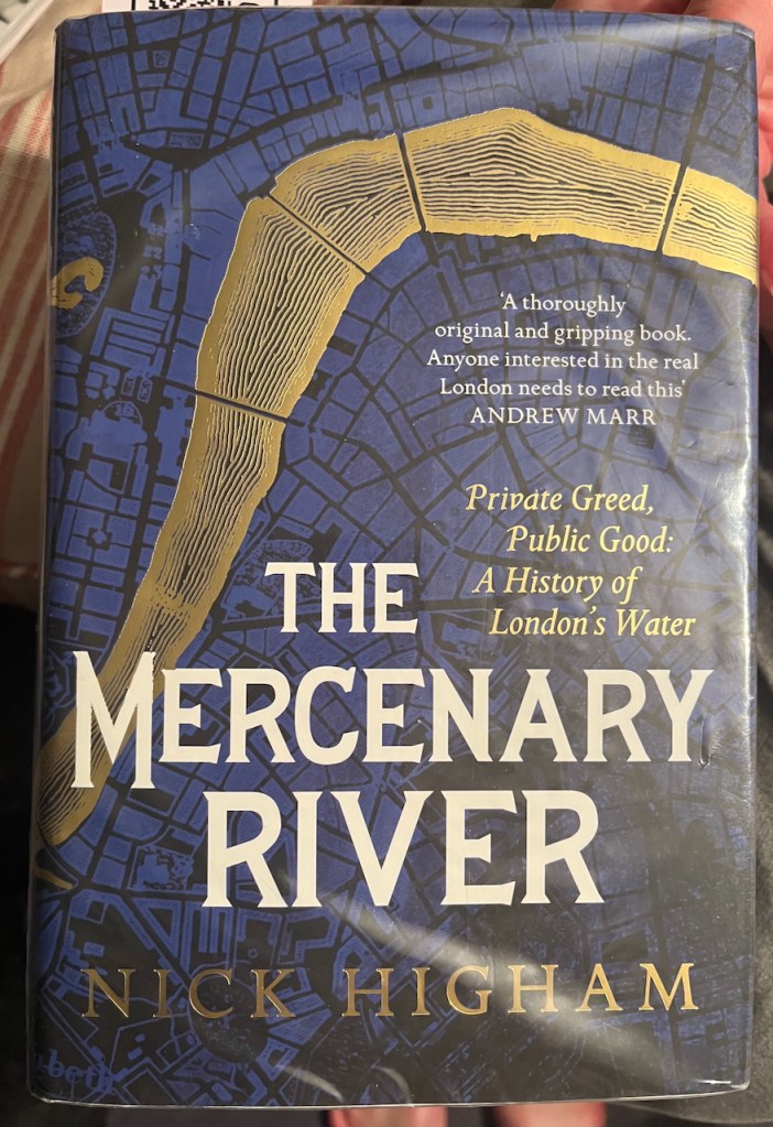
Information in this post is from placards in the museum or from their website. Inspired by my visit to the museum, I read this excellent book about London’s water supply:

“The Mercenary River” by Nick Higham

North entrance to the Woolwich Foot Tunnel, E16

The North entrance to the Woolwich foot tunnel stands isolated on a traffic island.

North entrance to the Woolwich Foot Tunnel, sketched 26th November 2024 in Sketchbook 15

The Woolwich Foot Tunnel opened in 1912, and is still open today, 24 hours a day. It connects the North and South sides of the River Thames.

I walked through the tunnel on an adventure exploring Docklands, inspired (once again!) by a fascinating article on the “London Inheritance” site.

My expedition started at London Bridge pier, with a trip down the Thames on the riverboat. This seemed the simplest way to get to the docks. It takes about 50 minutes to go from London Bridge to Woolwich.

The route of the riverboat from London Bridge to Woolwich.

Everyone gets out at Greenwich, but it’s well worth going a bit further. The boat is empty, the Thames is huge, and the sky opens out.

The City of London seen in the distance, from the Woolwich Royal Arsenal Pier

The river boat pier at Woolwich is on the South side of the river. I was keen to explore the North side, so I walked a little way to find the entrance to the foot tunnel. There is also a ferry, but I wanted to experience the foot tunnel.

The South entrance to the foot tunnel is hard to find. It’s crammed into a dark space behind the leisure centre. It looks somewhat dingy and derelict.

South entrance of the Woolwich Foot tunnel, hemmed in by 1970s buildings.

You have the option of the lift or the stairs. I followed the arrow to the stairs. The stairs are round the back. You have to find your way in, sidling between the wall of the leisure centre and the columned entrance to the tunnel. I can’t help feeling that the constructors of the tunnel would be appalled that their ornate entrance had been obstructed in this way.

Entrance to the stairs, under the canopy. Leisure Centre is the blue part on the left.

By this time I was rather doubting the wisdom of this undertaking, as the old building seemed so abandoned, and the entrance was so dark. However, the stairs were brightly lit, and it all seemed feasible. So down I went.

The tunnel itself is marvellous: all bright and clean, with amazing acoustics. I could hear the distant voices of people ahead of me.

Inside the Woolwich Foot Tunnel

On the North side there is a different world. The North entrance, unlike its Southern counterpart, stands proud and isolated on an expanse of concrete. I sat down and sketched it.

The building stands on a traffic island which is a junction of many routes. The A117 takes heavy traffic onto the pier, to load onto the Woolwich Ferry. There’s a bus, the Superloop SL2 ,which goes to Walthamstow. People walk from the bus to the foot tunnel.

North entrance to the foot tunnel. The Superloop bus from Walthamstow is in the background.

The signpost on the left of my drawing indicates the long distance footpath “The Capital Ring”. I followed this route along the Thames a little way. The path is cut off after the Galleons Point Housing development. Signs say that the lock gates are being maintained. So the route returns to the main road and passes over the spectacular bridges across the docks.

The bridges offer a view directly down the runway of London City Airport. When I walked past, some boys were enthusiastically photographing the aircraft on their mobile phones.

Plane spotters on the bridge over the Royal Albert Dock. City of London in the distance.

The other direction from the airport, looking toward the Thames, is a scene which seems to define what we mean by “brown field site”.

A brown field site: Albert Island, North Woolwich. This photo was taken from the same spot as the one above, but looking the other way.

In the distance on the left, you see the housing developments round Gallions Reach. The quantity of space round here is astounding. And the docks are enormous.

Royal Albert Dock from the Steve Redgrave Bridge. The dock is about a mile long. The University of East London is on the right, City Airport on the left, City of London towers in the distance.

I walked on over these immense bridges over the docks. An oncoming bus tooted cheerfully. I looked up to see the driver smiling a friendly greeting. Perhaps I looked a little lonely and cold. The bus rushed on. I felt warmer.

On the other side of the bridge I warmed up in the “Wild Bean Café” (recommended) and then made my way to Gallions Reach DLR station and thence to central London.

If in need of wide open spaces and a bit of distance from the problems of the City, then a trip downriver is definitely the thing.

Westminster in fog

There was fog on the Thames.

Westminster in fog (1) 10″ x 12″

The Houses of Parliament rose out of the mist.

I used this image to experiment with paper and brushes.

Wapping Old Stairs – Thames Beach

I went for a walk out East. Here is the view from the peaceful beach at Wapping Old Stairs E.

Wapping Old Stairs E

This was rather a quick sketch, because the tide was coming in. The geese came to have a look.

Earlier this year I sketched from the top of those steps, looking inland.

Wapping Old Stairs E

On a radiantly bright day I walked East from the City in search of horizons. Wapping, east of Tower Bridge, is where the buildings at last are of human size, and you can see the sky. Next to the pub called “Town of Ramsgate” on Wapping High Street, there is a small passage, a slot…

The passage is to the right, in front of the pub

Wapping Old Stairs is quite hard to find. It is next to the “Town of Ramsgate” pub.

This sketch took about 45 minutes. The colours are Fired Gold Ochre (DS), Phthalo Turquoise (W&N), Perylene Maroon (DS), Mars Yellow (DS). I used the Fired Gold Ochre because it granulates so usefully to make the sand. The algae and green plants on the steps were slightly iridescent, glowing rather strangely even though in shadow.