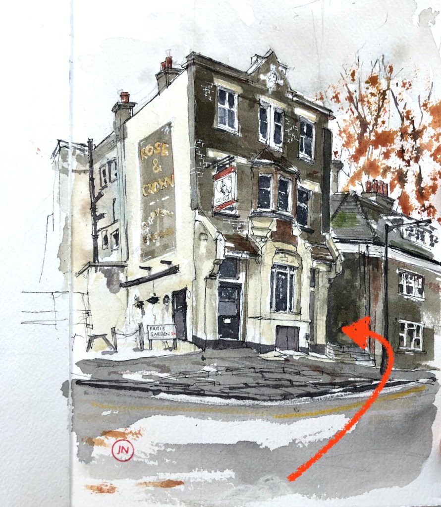
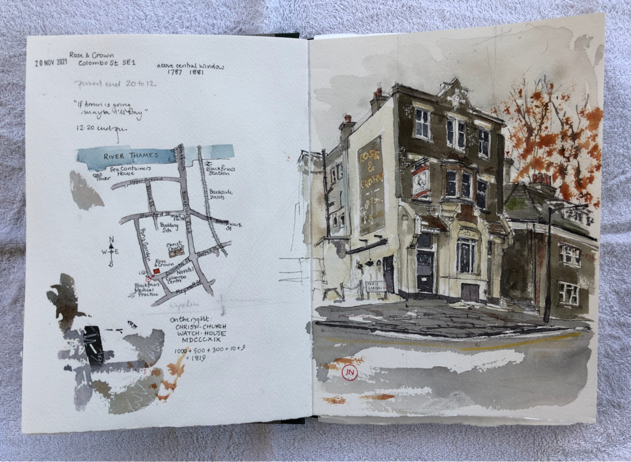
Here is the Rose and Crown, just south of Blackfriars Bridge.
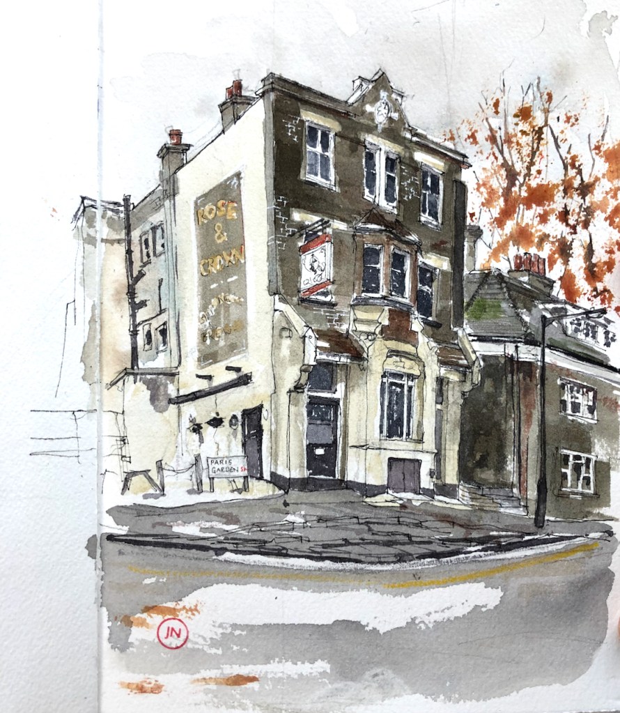
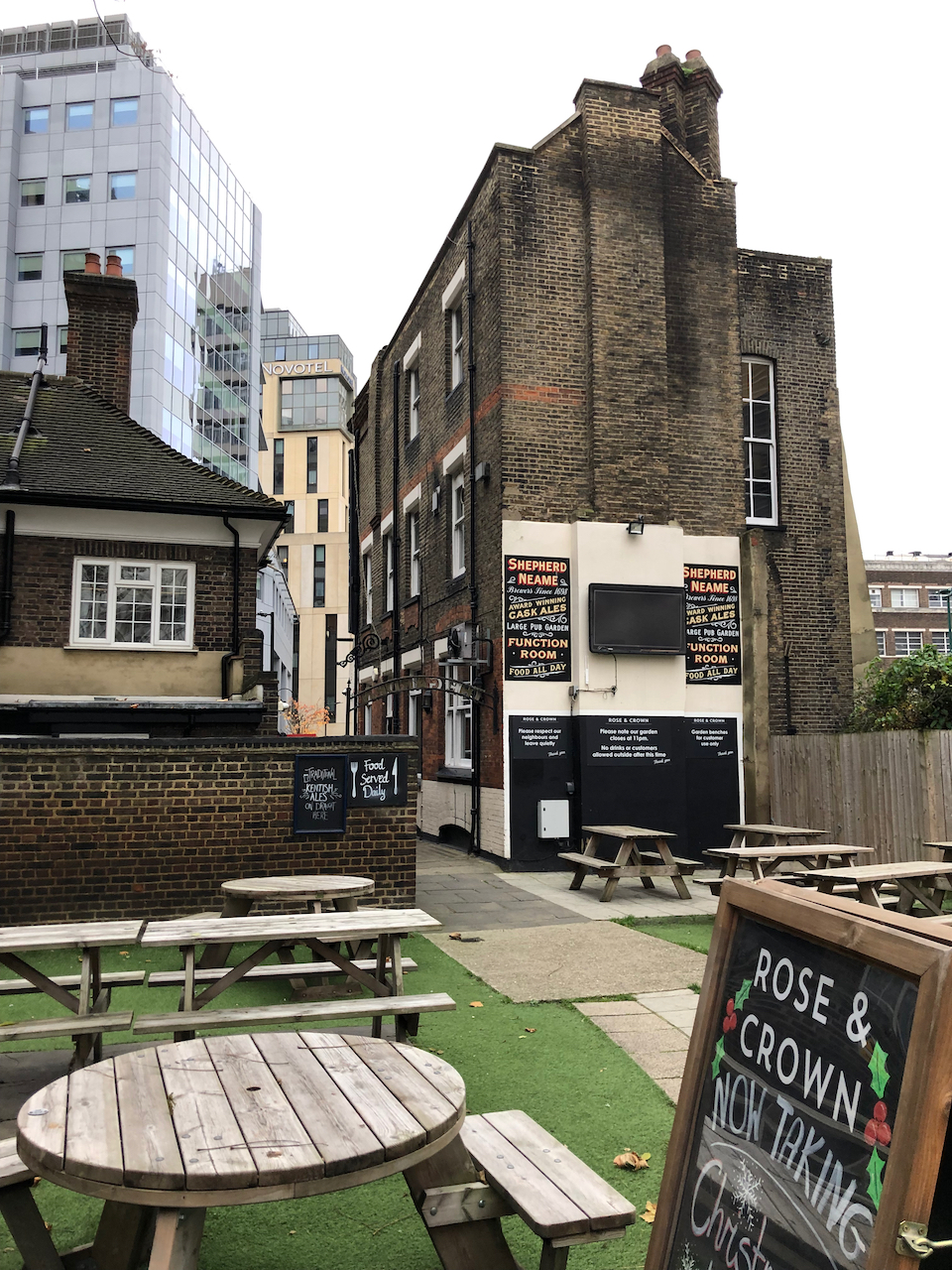
This pub stands amongst modern blocks: linking past, present and future in a swirling area of change. Behind the pub, unexpectedly, is a beer garden, giving onto a wooded area around the nearby church, Christ Church.

Above the arched window of the pub, two dates are carved in the stone work: 1787 and 1887
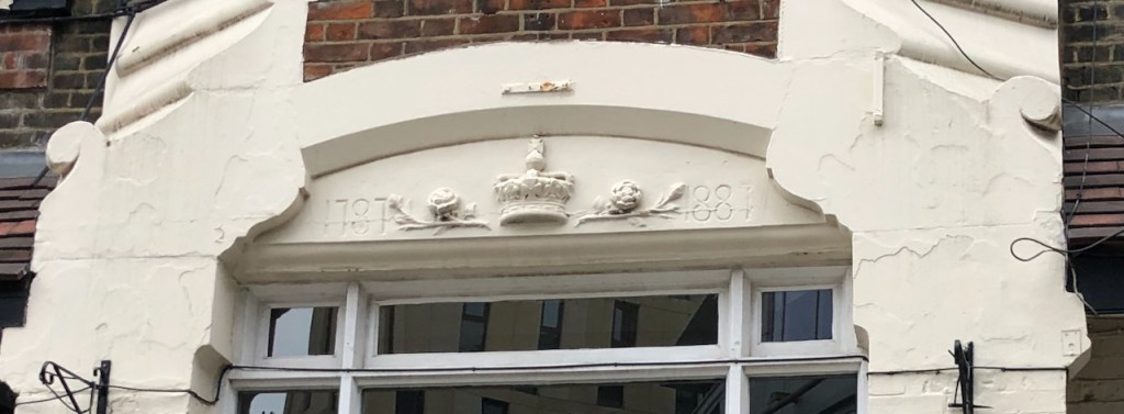
The pub’s website says the building “is thought to date back to the late 1800s”. The marvellous “pubwiki” entry tells me that the pub “was established in 1787, re-built in its present form in 1887″. They trace the landlords’ names and dates through census and insurance records, and note a John” Clark, victualler at this location, in 1789.
“1789/John Clark/victualler/../../Sun Fire Office records held at the London Metropolitan Archives” (data from Ewan of “pubwiki”)
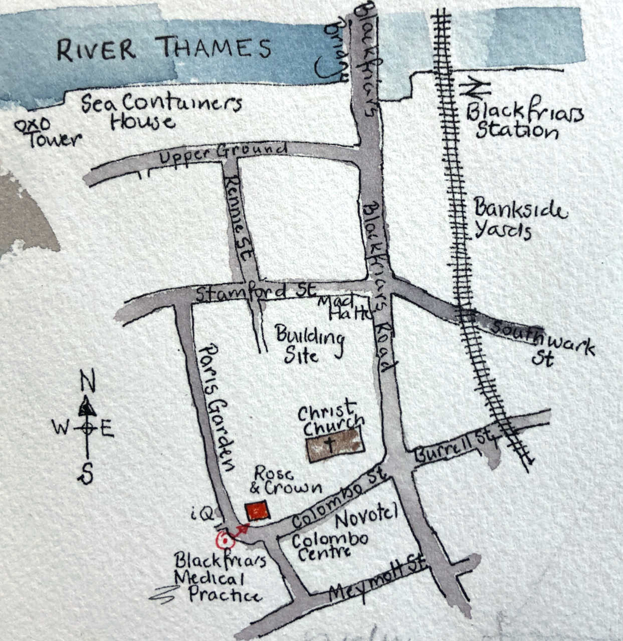
The roads round here have changed names. Colombo Street was “Collingwood Street” until 1937 (London Metropolitan Archives, notes on photos). Before that it was “Green Walk” in the 1789 insurance records quoted above. Paris Garden was previously “Brunswick Street”. The area in front of the pub, now the Colombo Centre and a Novotel, is a bombsite in a 1951 photo in the London Picture Archive.
The area continues to undergo change. North of the pub is a huge empty lot. Buildings were demolished in or around 2019, and construction has not yet started.
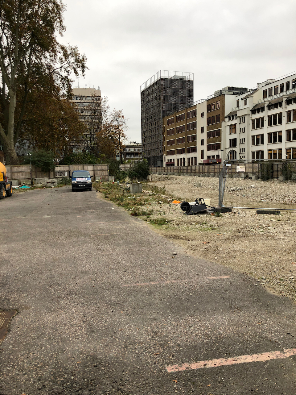
The planning application (2019) is for 4 levels of basement and 6 buildings from 5 to 53 floors.

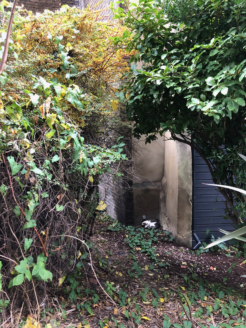
If you walk into my drawing and turn into the dark passage to the right of the pub, you find this notice, written in stone. Recently another notice has been added, asking patrons to leave quietly.
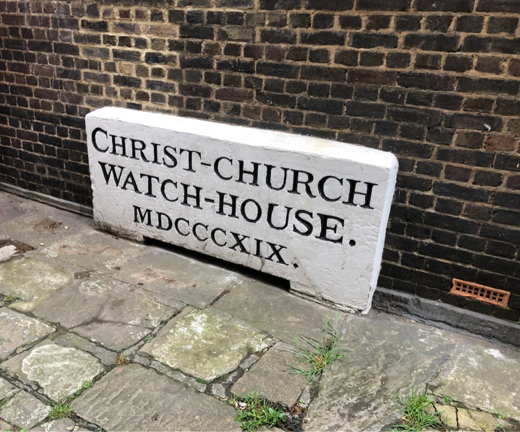

By my calculation MDCCCXIX is 1000(M) + 500(D) + 300(CCC) + 10(X) + 9 (IX) = 1819
The purpose of the watch house was to guard the adjacent burial ground from body snatchers, according to the note on the London Metropolitan Archive Picture Gallery. Here is the watchhouse in 1932. The pub would be immediatly to the left of this photo:

London Picture Archive notes:
“The Parish Watchhouse was built in 1809 and stood in the Church Yard until demolished in 1932. The Watchhouse was used to guard new burials against body snatchers. The Rectory, a new building similar in style, stands on the same site. Colombo Street was previously known as Collingwood Street.”
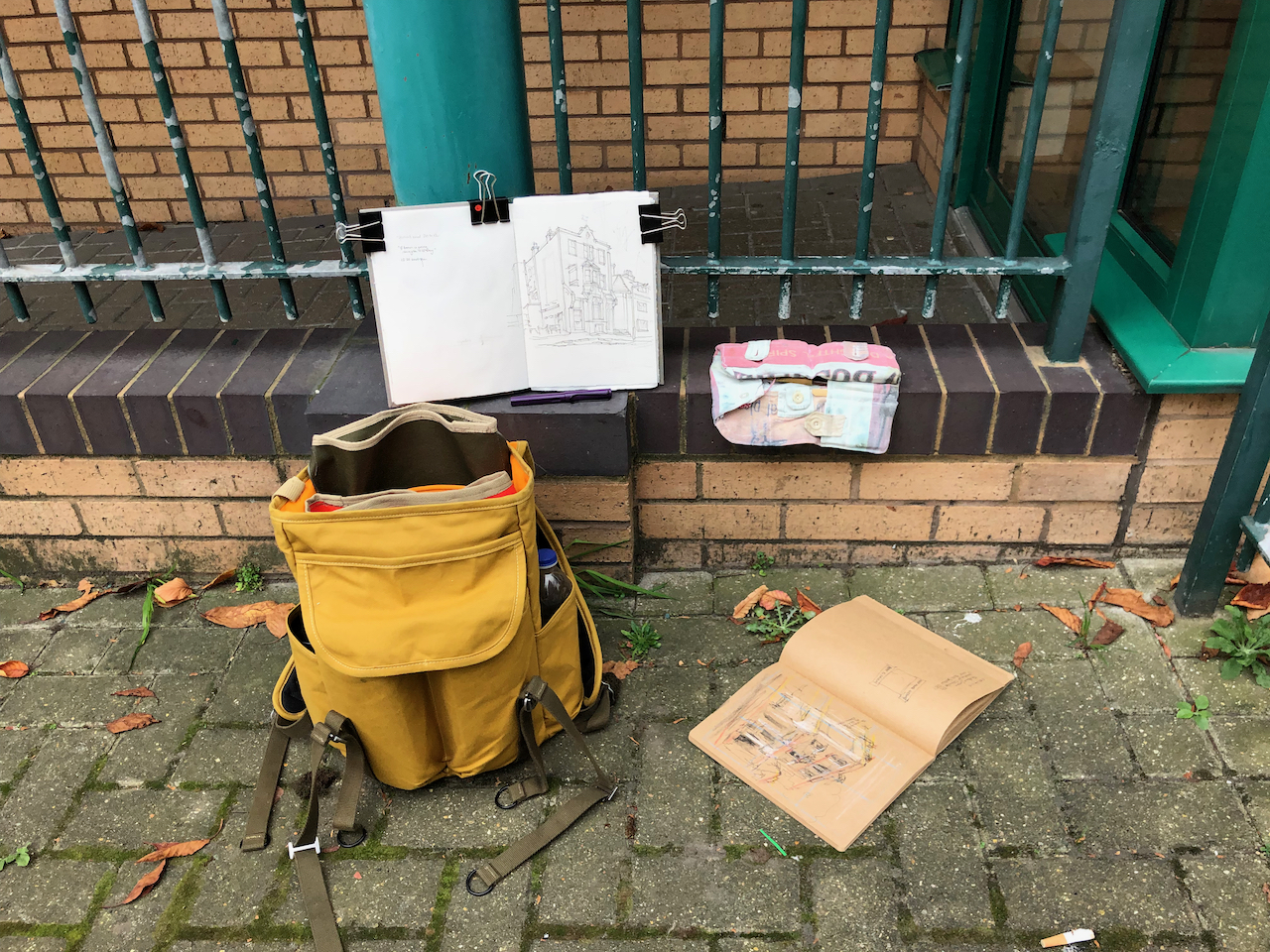
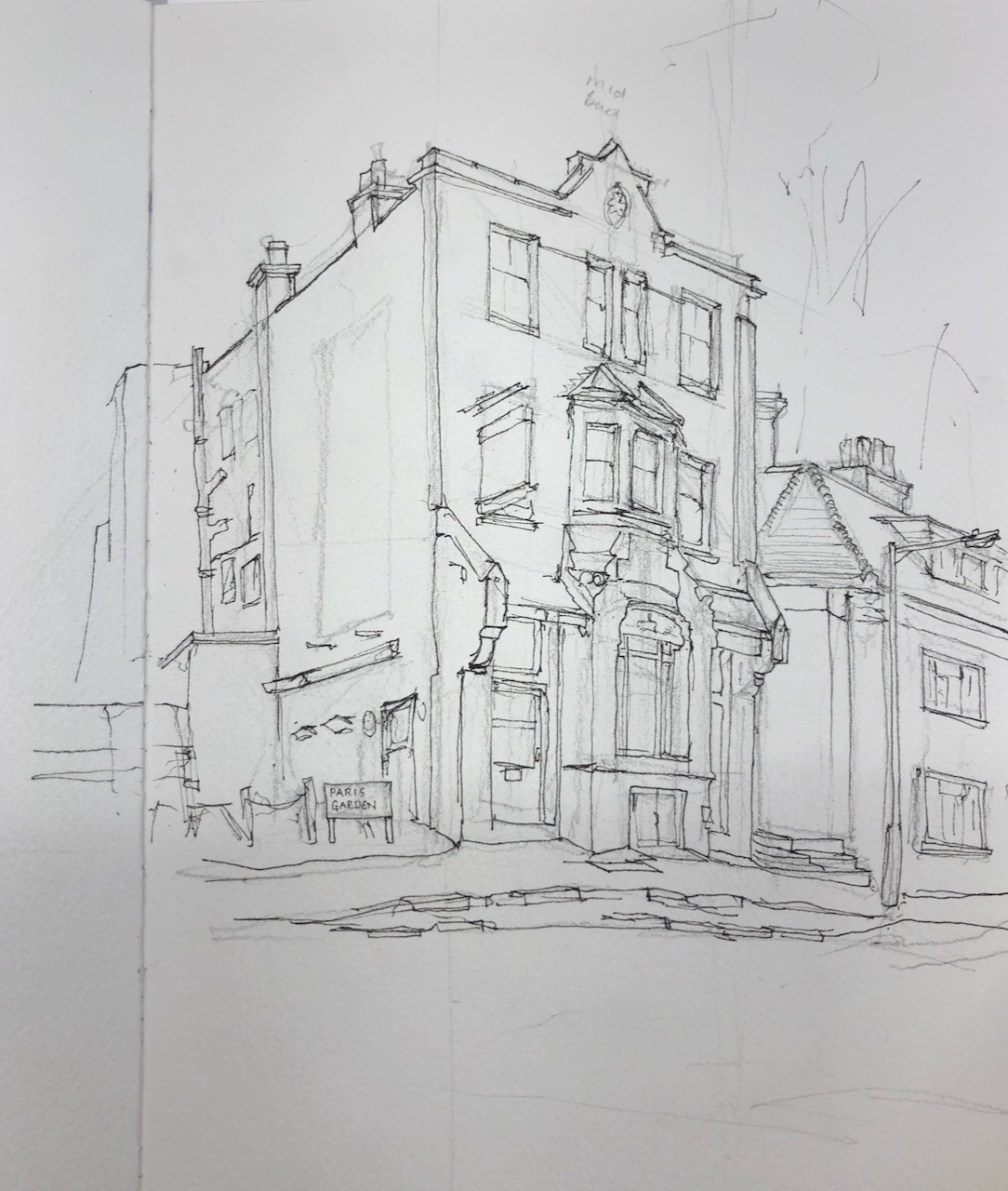
Here is work in progress on the drawing. You see the current rectory, which replaced the watch-house, on the right.


Location: