
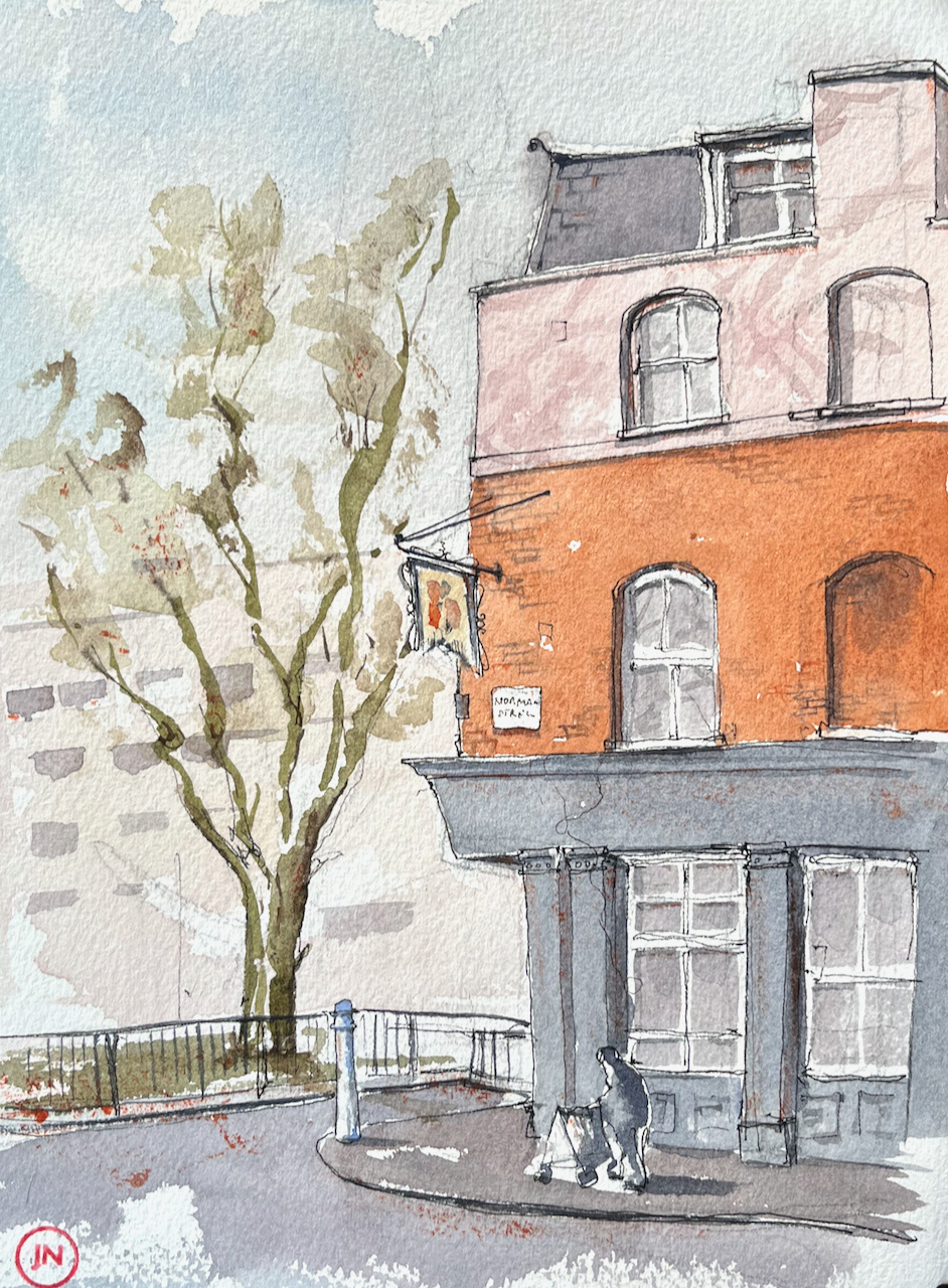
In the late afternoon, I walked round a corner near St Luke’s, and noticed the pub sign.

The pub closed sometime around 1989, according to https://pubwiki.co.uk. It is now residential flats.
The pub was in existence in 1842, according to “closedpubs.co.uk”. There was a nearby Langton Street, shown on a map from the British Library dated 1901. The Langton Arms is marked “PH”.
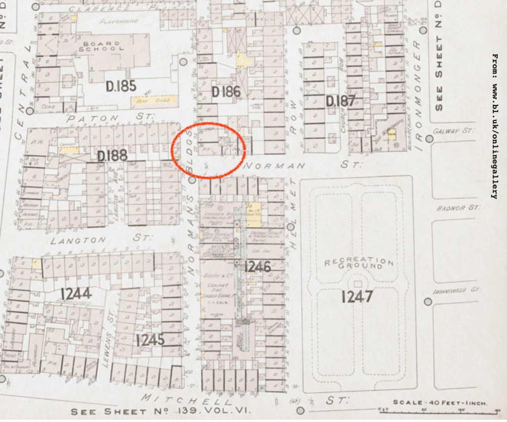
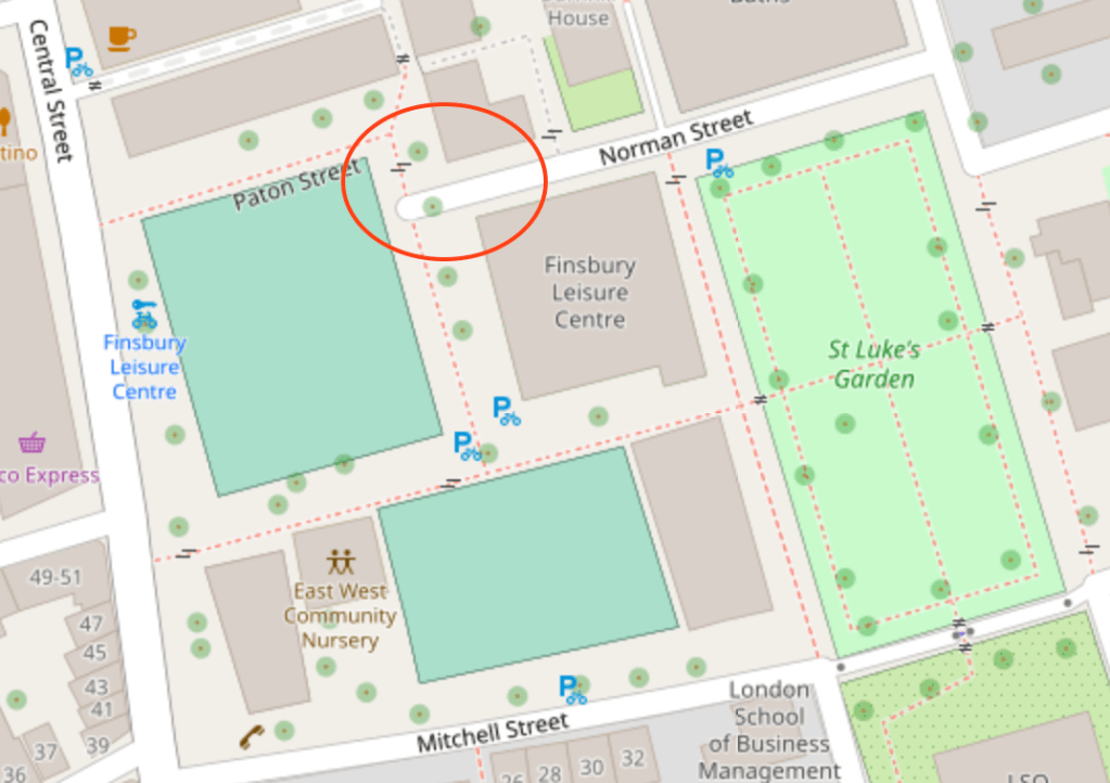
See how dense the housing was in this area in 1901. Here is the same area today. Langton Street has disappeared.

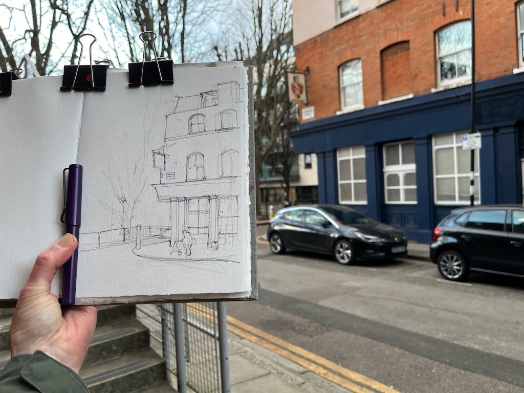
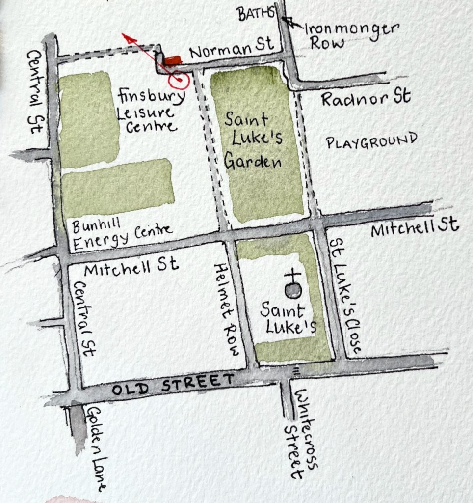
I sketched the closed-down pub at around 4:30pm, as the light faded. The pub sign is still there, but eaten away at the lower edge now. The street sign “Norman Street” is the same one as shown in a photo from 1958. It has “Borough of Finsbury” written above the street name. The Borough of Finsbury was absorbed into Islington in 1965.
This picture is a story of vanishing: vanishing street, eaten away pub sign, closed down pub, a missing borough, sun setting in January. Behind me as I sketched I could hear the squeak of gym shoes on hard floors, the other side of the closed steel doors to Finsbury Leisure Centre.


A nice, atmospheric piece. Makes it looks like it’s on the edge of something or nothing – as I suppose former pubs are. I happened across the Langton Arms purely by chance one day and wondered what had happened to it. Thank you for filling in its history!
LikeLiked by 1 person
Thank you @chrisamies! I’m glad you enjoyed the piece. Like you, I happened upon this former pub by chance. It was helpful that they left the pub-sign up. I’m grateful for your comment and hope you all your London explorations are fun and intriguing.
LikeLike