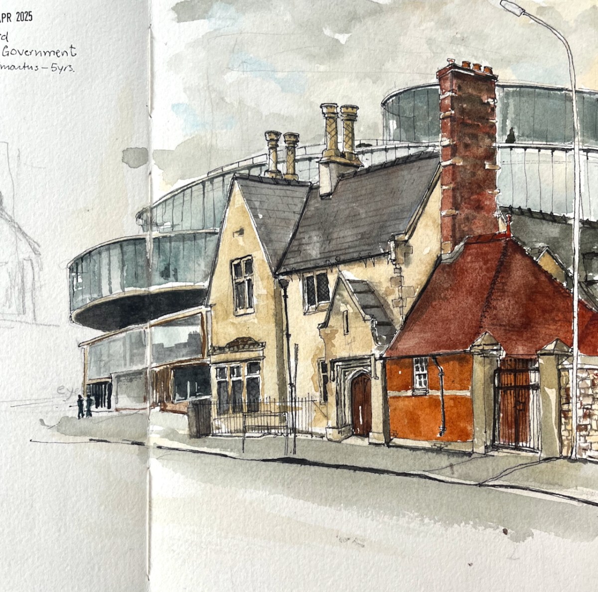
119a Walton Street, Oxford OX2

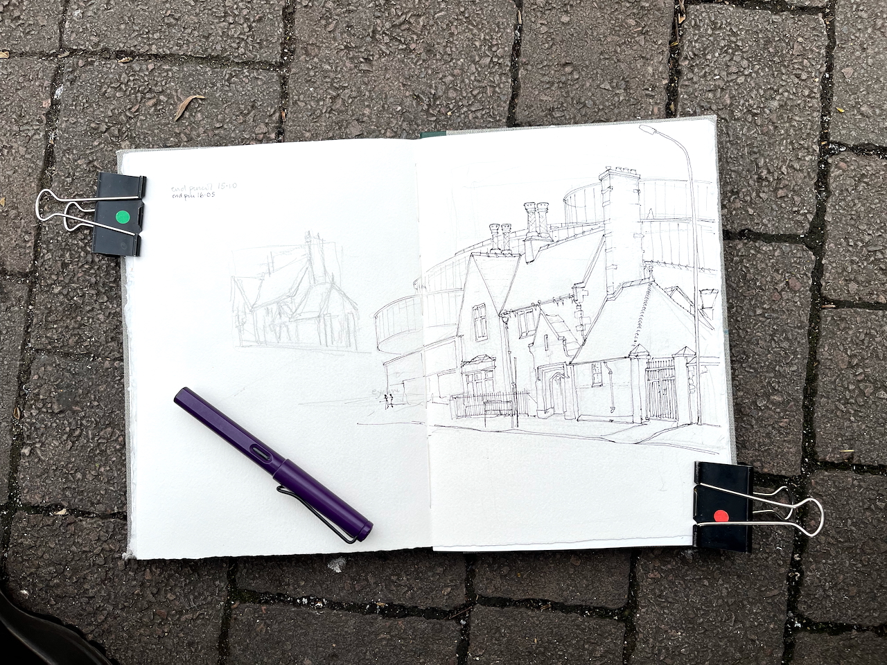
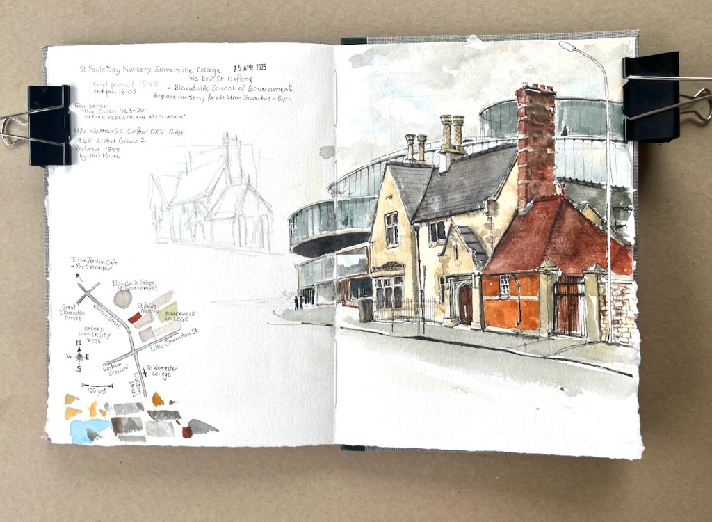
This 19th Century building on Walton Street is a nursery school. It contrasts with the huge sweeping curves of the Blavatnick School of Government behind.
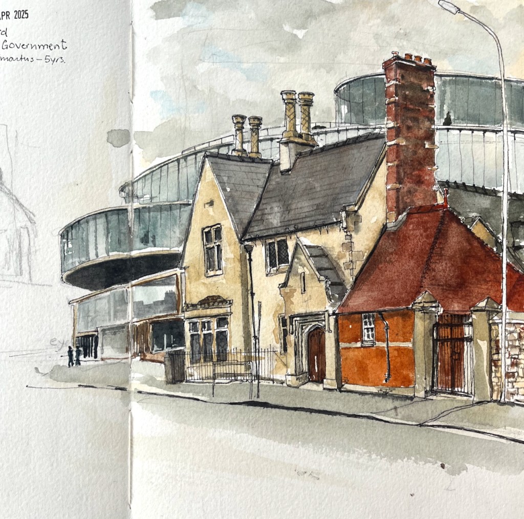
St Paul’s Nursery, 119a Walton Street, Oxford OX2 6AH. Sketched 25 April 2025 in sketchbook 15
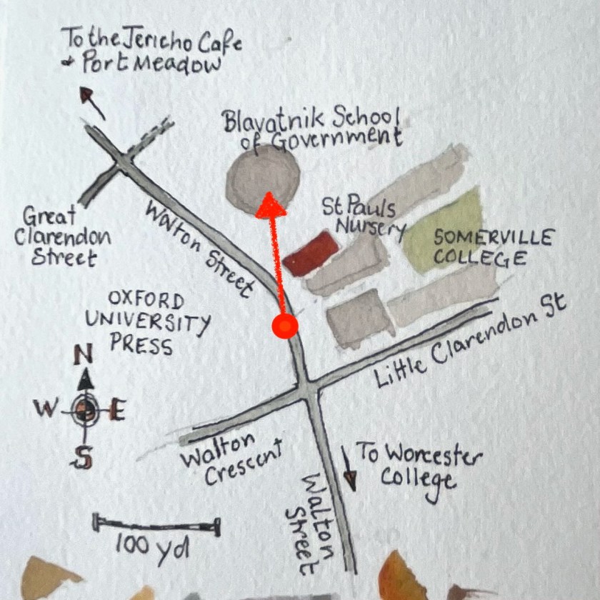
Map of the sketching location, showing the sight line of the sketch.

The building now houses a co-ed nursery:
“St Paul’s Nursery is a 16-place day nursery that caters for children between the ages of 3 months and 5 years. The Nursery was established as a work place nursery for the staff of Somerville College, but now opens its doors to children whose parents work elsewhere.” [note 1]

The original building of 1848 is described in “The Builder” magazine of that year. [note2]

Here is what it looked like originally:
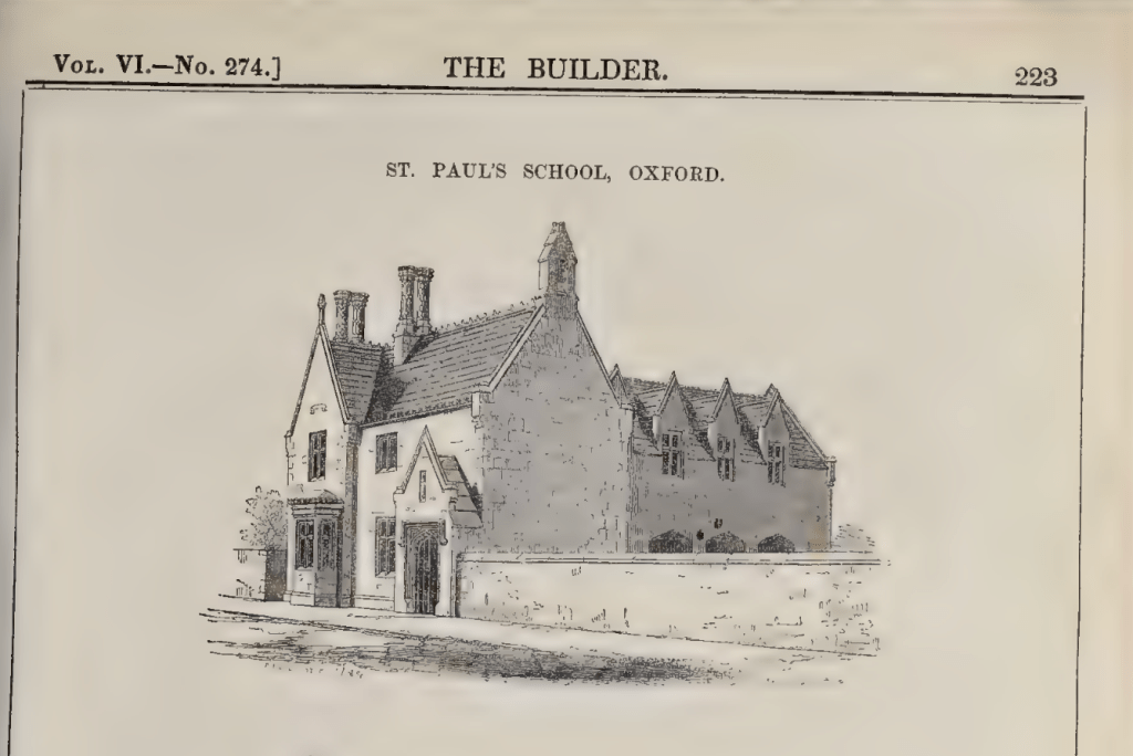
According to the (fascinating!) article in The Builder, the school was originally only for girls. Inside the building pictured above was a “dwelling house” for the mistress, a room for the vicar “to conduct his parochial business” , and a school room “55 feet long, 20 feet wide, and 18 feet between the apex and the floor”. Because there was no outdoor playground, the architect placed the school-room on the “second floor” and the lower room became the playground. I take it that by “second floor” the author meant what we now call “first floor”. The author of the article, who seems also to be the architect, describes with pride the construction of the roof:

“In the construction not a particle of wood has been used. The roofs are supported on terra-cotta ribs, with transverse sleepers of the same material, and the floors, arched on geometrical principles, are formed by tiles set in cement ; both are of undoubted strength and durability.” [from “The Builder” article, see note 2]

So the structural elements of the roof are terracotta? Really? If anyone has been inside this excellent building, can they tell me if this is still the case? Did the roof and the floors turn out to be durable, as the article says?

“St Paul’s Nursery” is now part of Somerville College. “St Paul’s Church” is the big building like a Greek temple which is on Walton Street on the other side of the Blavatnik building. It was out-of-use as a church by the early 1970s, and became a wine bar called “Freud”. It now looks sadly dilapidated. Some of its history is on this link.

The Blavatnik School of Government started in 2012. It moved into the new building on Walton Street in 2016. The building is by Herzog and De Meuron. The architects’ drawings of it, and some internal and external photos are on this link.

The Blavatnik School of Government mission statement, as written on the door of the building.

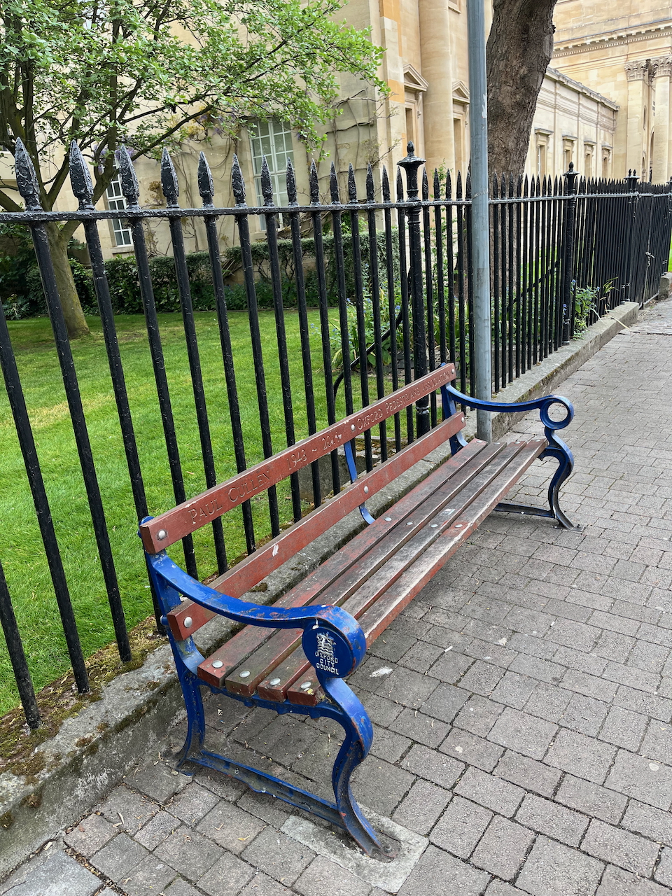
I made the sketch from a convenient bench outside the Oxford University Press. The bench was dedicated to
“Paul Cullen 1943-2011
Oxford Pedestrians Association”.
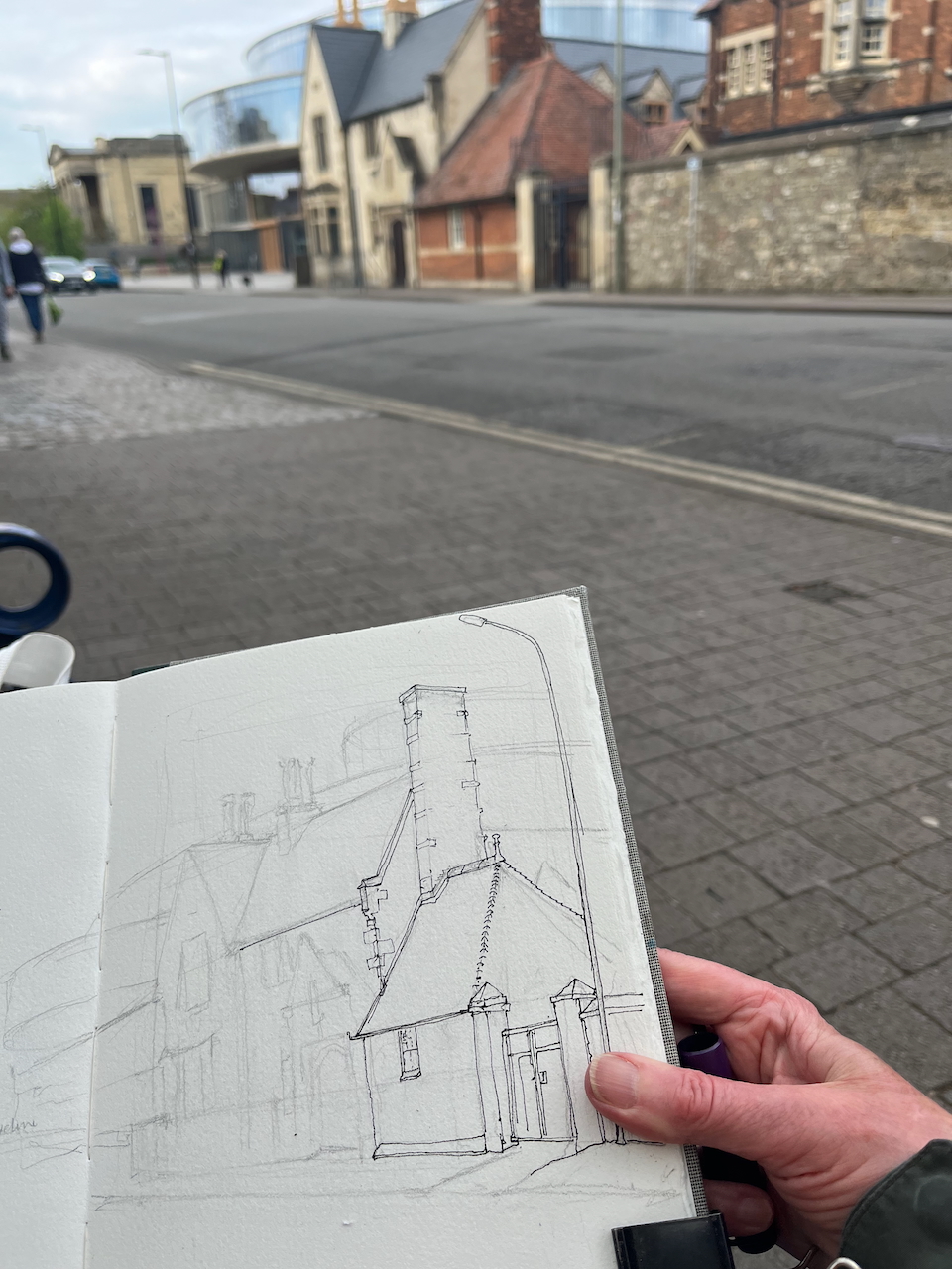
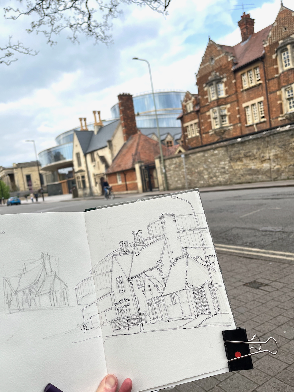
The inscription on the bench was easily read. But there was an inscription on the building I’d been drawing, and I couldn’t read that.
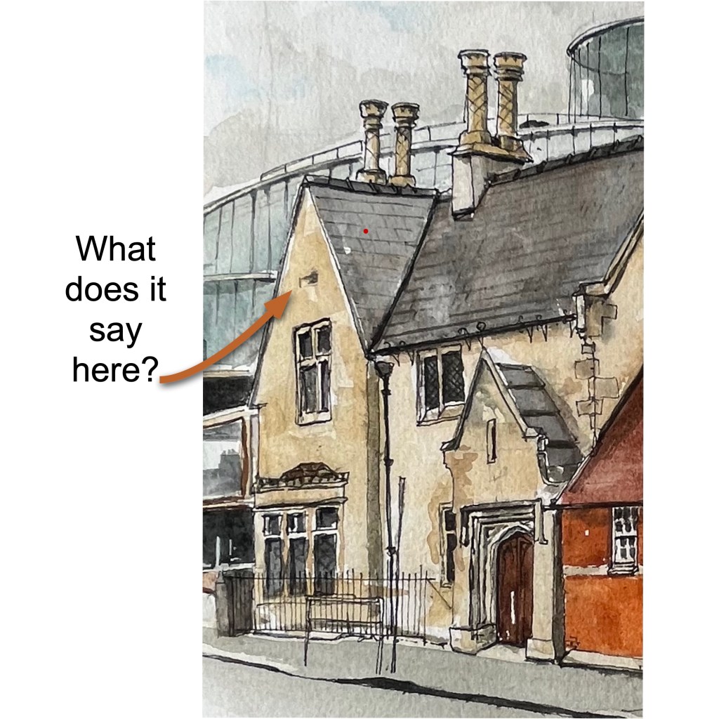
There is a stucco scroll with writing on the gable of the nursery building. Try as I might I could not read it.I assumed my ageing eyes were at fault. So I stopped two young people on the pavement and asked them if they could read it. They took my request seriously, and gave the task their full attention, which was kind of them. However they could not read it either. “Something Something CCC something something” was our joint conclusion. 1848 would be MDCCCXLVIII. Does it say that? If you are walking along Walton Street with a high-powered telescope, or if you have an old photo which shows the building in a less eroded state, then can you tell me what it says?
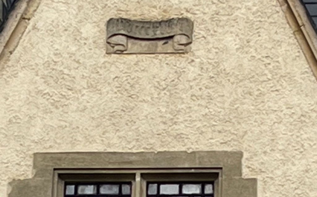
What does it say? (The iPhone can’t read it either….)

St Pauls Day Nursery and Blavatnik building. Sketchbook 15 page spread.

Note 1: Somerville College Website, Nursery Handbook, on this link:
https://www.some.ox.ac.uk/wp-content/uploads/2021/06/Nursery-Handbook-updated-June-2018.pdf

Note 2: “The Builder” magazine is online. You can find the 1848 volume at this link:

I have transcribed the letter relating to St Paul’s School: (2 pages pdf)

The letter is apparently written by the architect. They say, for example, “we have perhaps rather exceeded the bound of usual practice in ornamental detail” and refers to “our site”. But he or she does not sign their name, simply giving initials: “T.C.”. I have not been able to discover who “T.C.” is.
The Seven Stars, Carey Street, WC2

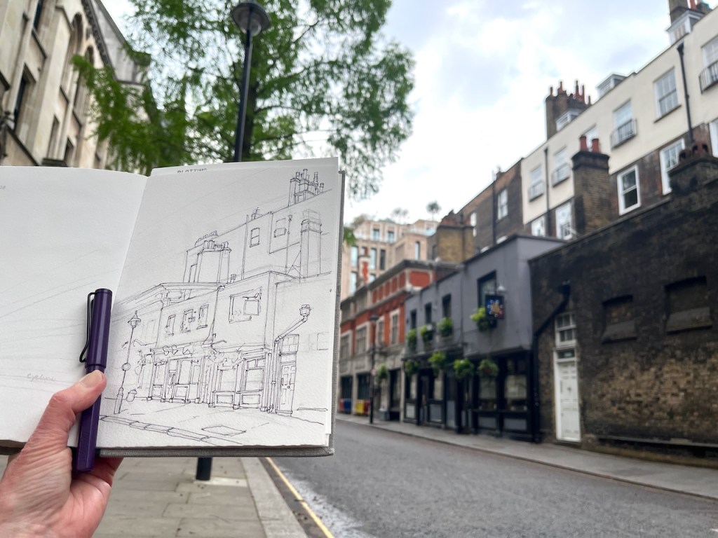
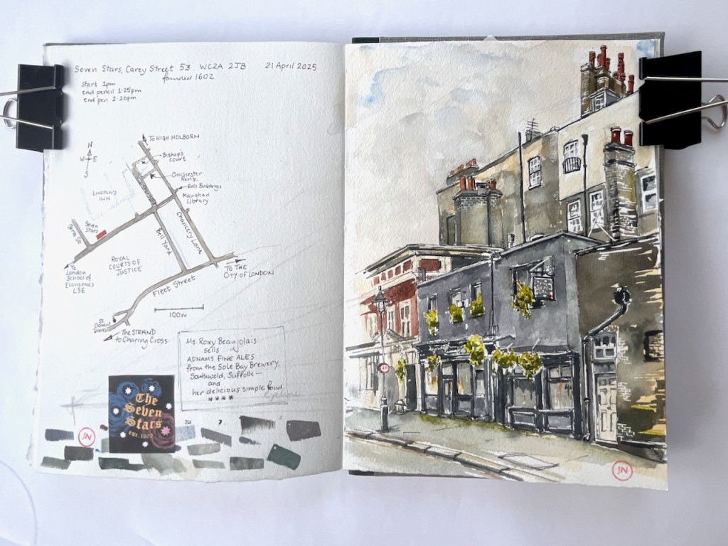
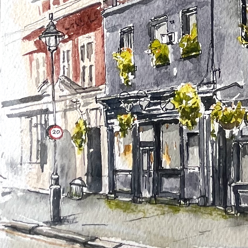
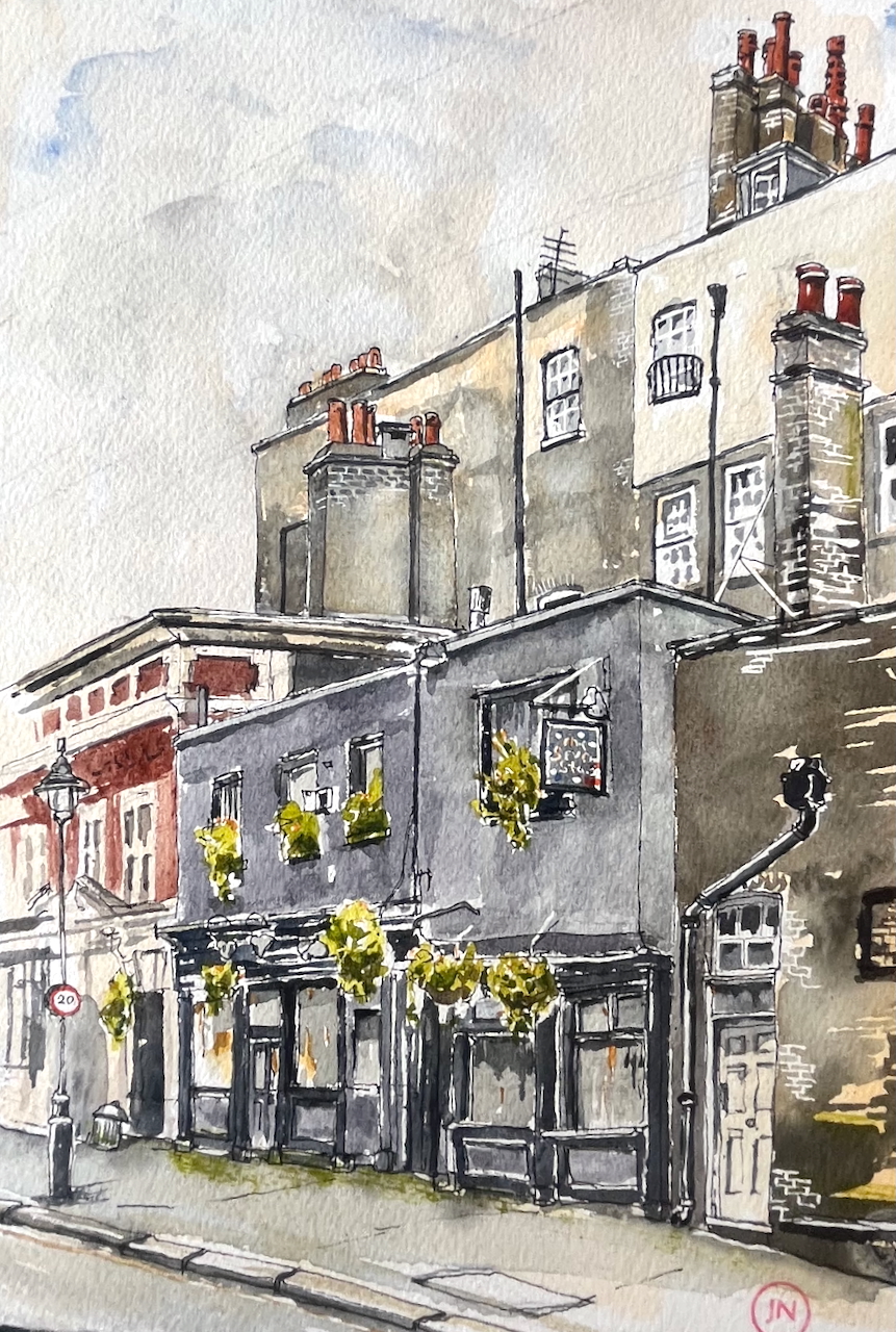
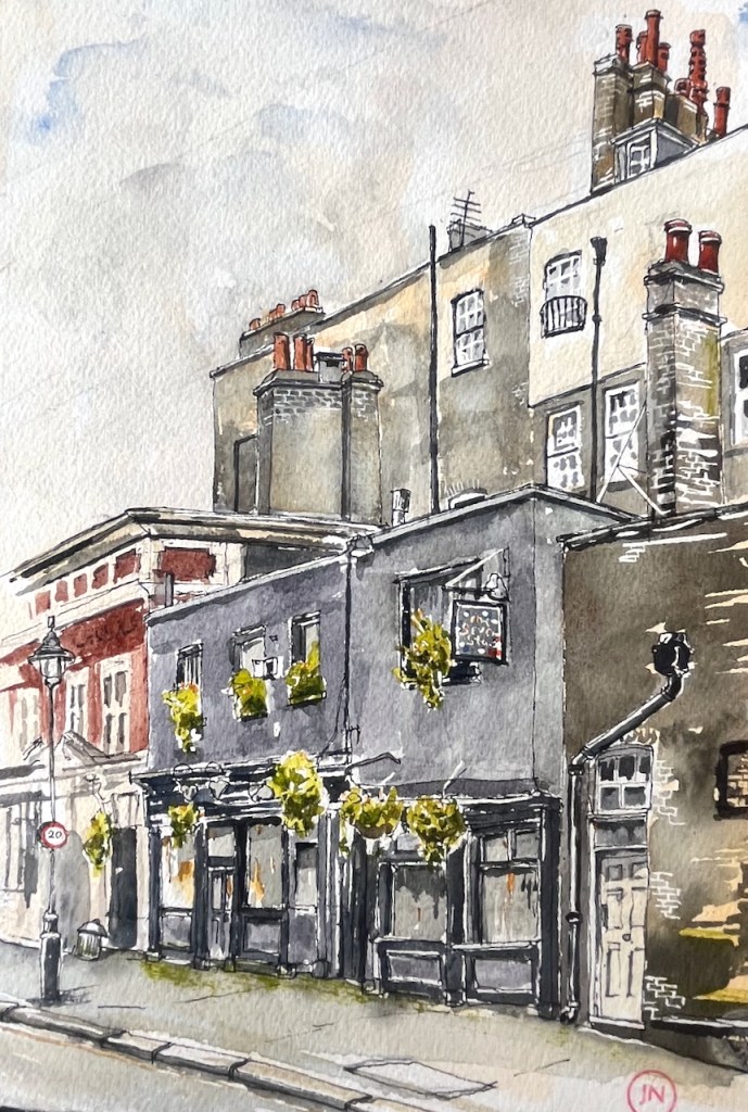
Here is the famous “Seven Stars” on Carey Street, just to the North of the Royal Courts of Justice in London.

The Seven Stars, Carey Street WC2A 2JB, sketched 21 April 2025, in Sketchbook 15

The pub website is a great read. Here’s a sample:

“This tranquil little pub now faces the back of the Royal Courts of Justice, the esteemed Gothic Revival building opened by Queen Victoria in 1882. Within The Seven Stars’ ancient charm of three narrow rooms that make up its public area, drinking in Queer Street (as Carey Street has often been called because of the bankruptcy courts) is contrarily pleasant. One can linger over gastronomic pub food and real ales behind Irish linen lace curtains that are being twitched by litigants, barristers, reporters, LSE students, church musicians, and West End show brass sections. Then, one might navigate to the lavatories up the comically narrow Elizabethan stairs. There are antique Cabinets of Curiosity in the pub’s front windows, and alongside Spy prints of former judges, there are posters of “Brothers in Law,” “A Pair of Briefs,” and other bygone British legal films.”

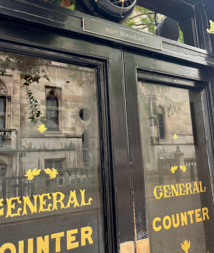
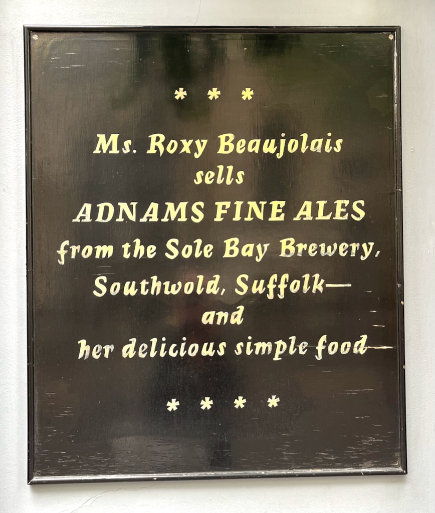
The licensee is the marvellously named Roxy Beaujolais.
Again quoting from the pub website:

In February 2006, FancyAPint listed The Seven Stars as one of “London’s Top Ten Pubs.” A 2006 review in On Trade, a pub industry organ, told it like this:

“We are here to be adored, not ignored,” says Roxy imperiously. “We sell fabulous beer with proper, homecooked food; and I expect my customers to appreciate both of those things.” In the current climate of customer satisfaction at all costs, her words may sound nigh on heretical. But this is a woman utterly qualified to call her own shots, and anyway – her combination of buxom presence, top class conversation, beautifully cared for ale, and sumptuous food is such a winning one that few would feel inclined to argue.

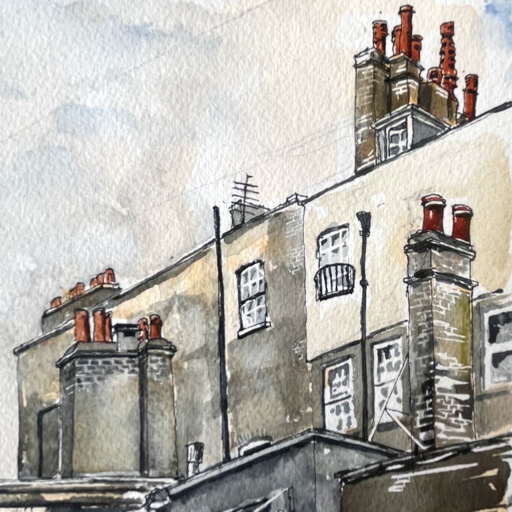
Sketching the pub, I enjoyed the landscape of chimneys. The art of the chimney-maker is not enough noticed. They are unsung sculptors. All those legal offices and chambers behind the Seven Stars must have plenty of fireplaces. Hence the chimneys, here present in great numbers and in extraordinary variety.
Chimneys seen from Carey Street.

This sketch took about an hour and a half on location, and I finished the colour at my desk.

Sketch of the The Seven Stars – detail

See this post and this post for sketches of the Royal Courts of Justice.

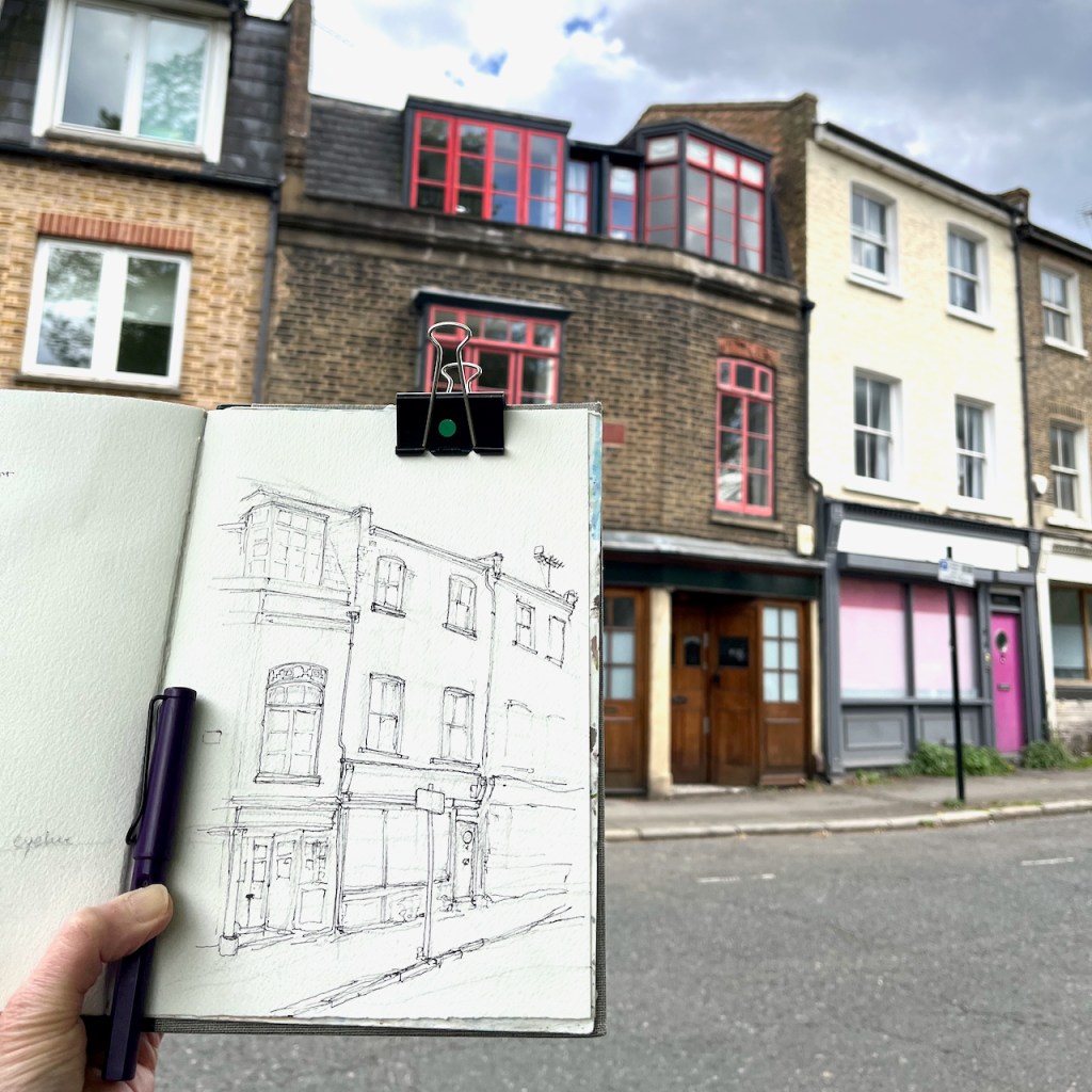
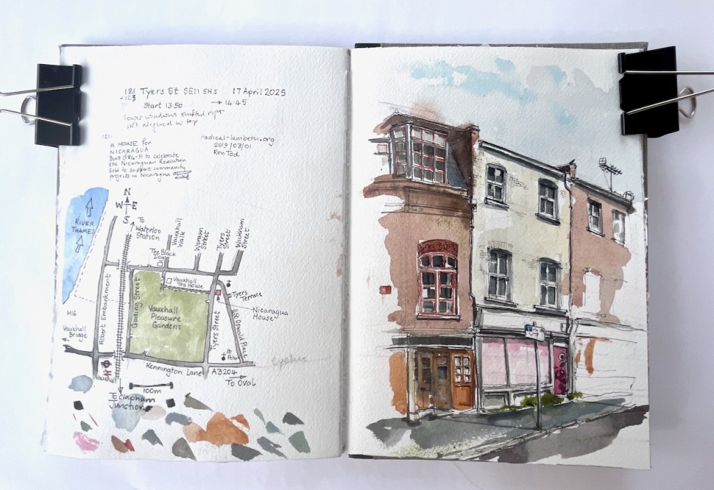
121 and 123 Tyers Street, Vauxhall, SE11 5HS

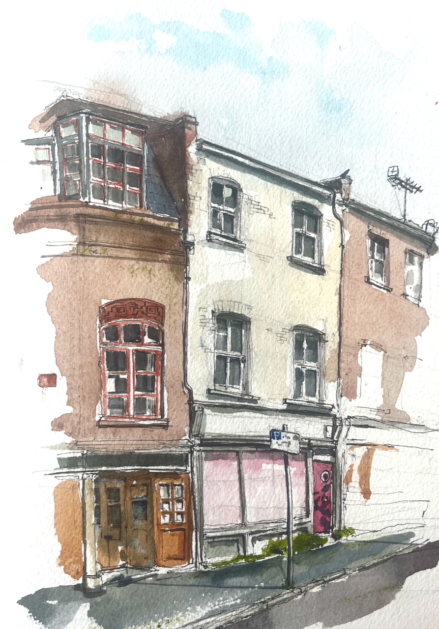
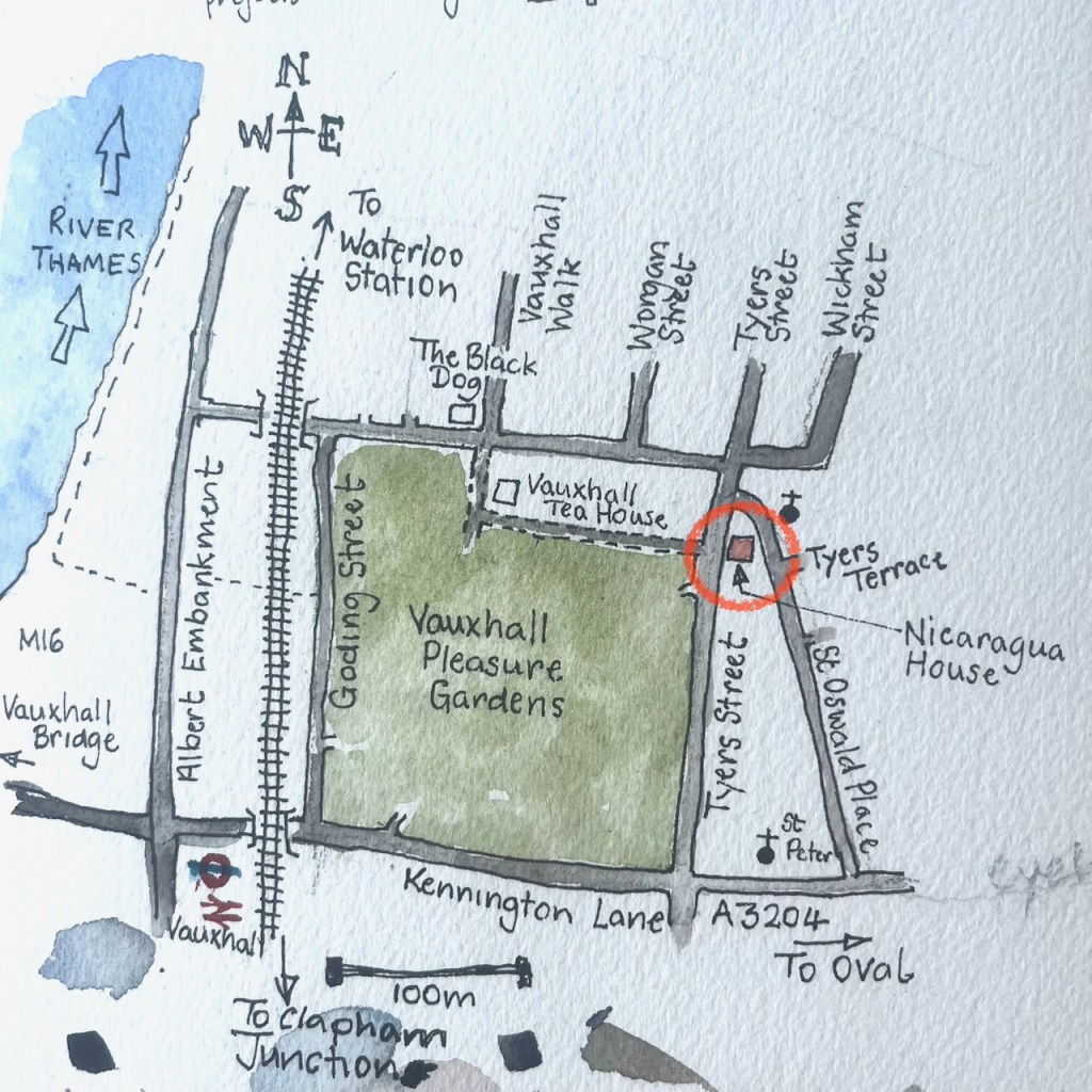
This is an interesting terrace, just to the East of Vauxhall Pleasure Gardens.

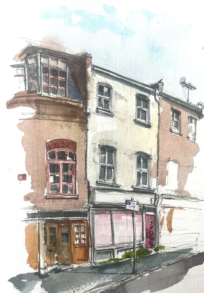
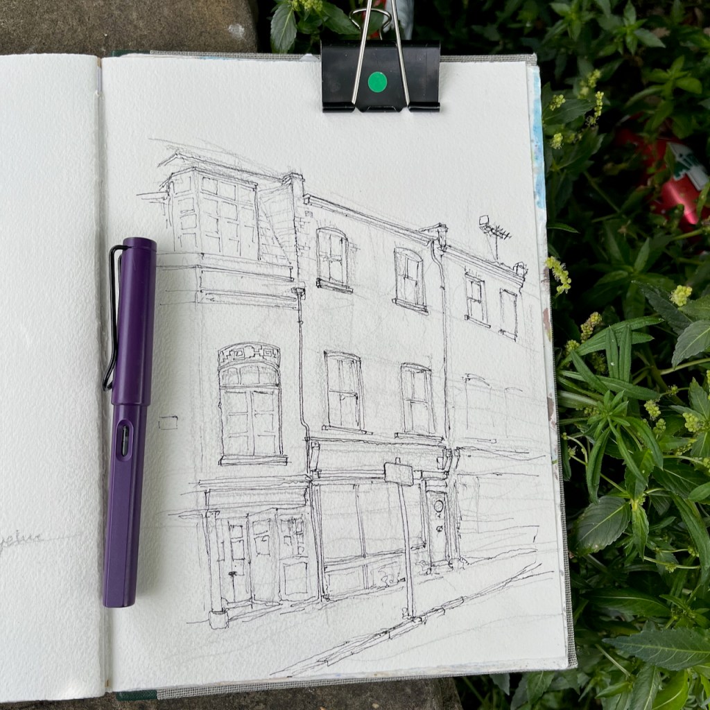
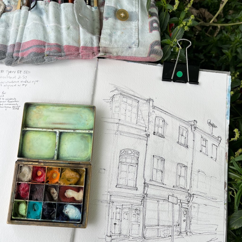
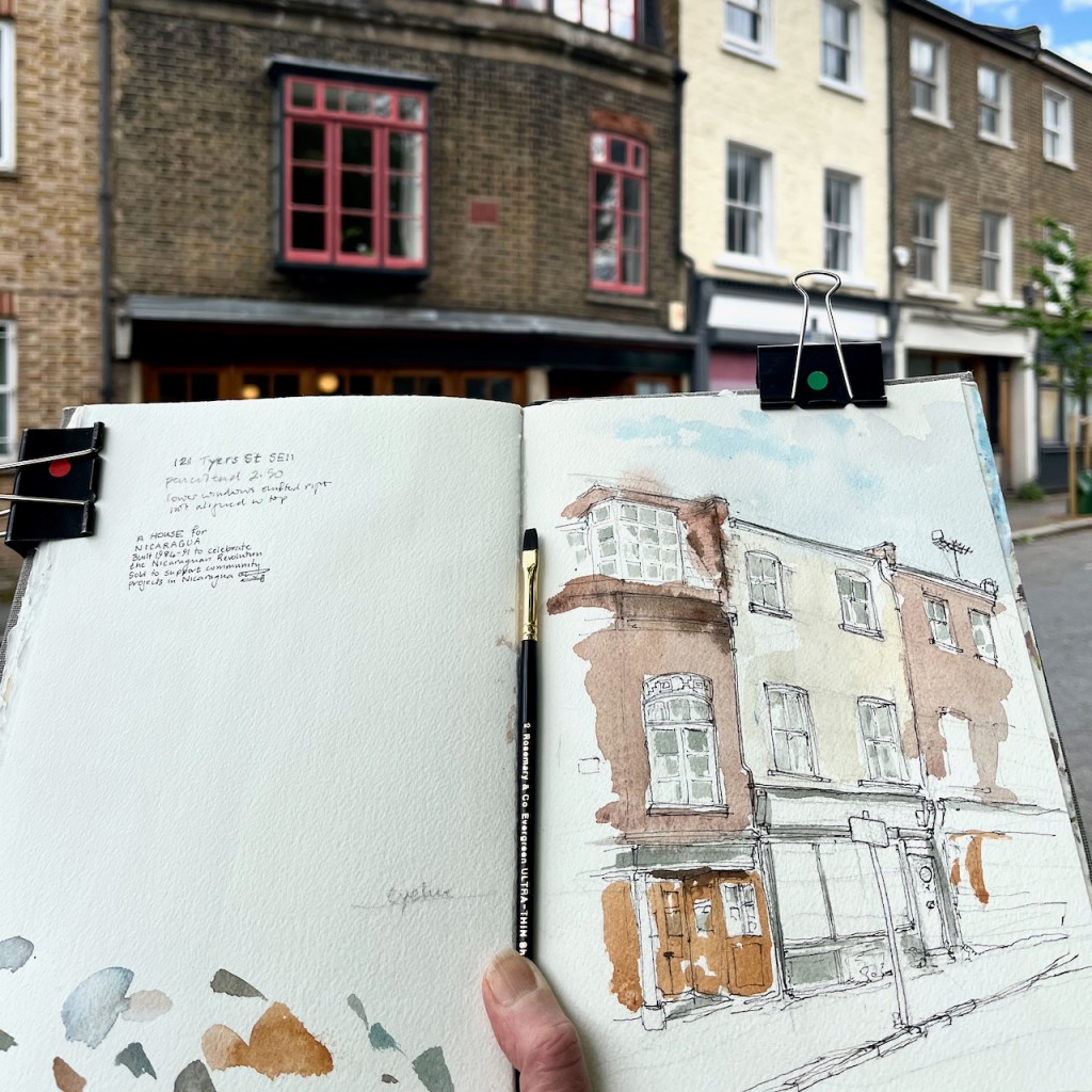
121 and 123 Tyers Street, SE11 5HS, sketched 17 April 2025 in Sketchbook 15

The terrace house on the left has a terracotta plaque let into the brickwork:

The website “Radical Lambeth” has an article which tells more. The house was restored as a community endeavour, led by a visionary, Ron Tod (sometimes spelled Todd):

“He had some money from a house he had built out of an old airfield shed in Essex, and he thought some of the people he was living with might help with the work. About 200 people – men and women in their twenties and thirties did…”

“Almost all the materials for 121 Tyers Street came from skips, building sites or dumps. The floors are parquet, retrieved in one great haul from a skip….”

Even from the outside, the house is feels beautiful. The windows are all different, and there is intriguing detail, such as the terracotta frieze above the window shown in my picture. This is a house built to a loose design rather than a rigid plan. Much was created by the people there, as they went along, using materials to hand. Sketching it, I was reminded of the work of the 1970s radical architect Christopher Alexander, “A Pattern Language”.

The house in the centre of my picture is 123 Tyers Street. This is much plainer. But it also is intriguing. The lower windows are not directly below the upper windows, but shifted right.

I sketched sitting on the wall opposite.

Sketchbook spread, Sketchbook 15

Walking around Glasgow

On the way to and from Sketch and Sail last week, my journey took me through Glasgow. I spent a few hours walking around that city, sketchbook in hand.

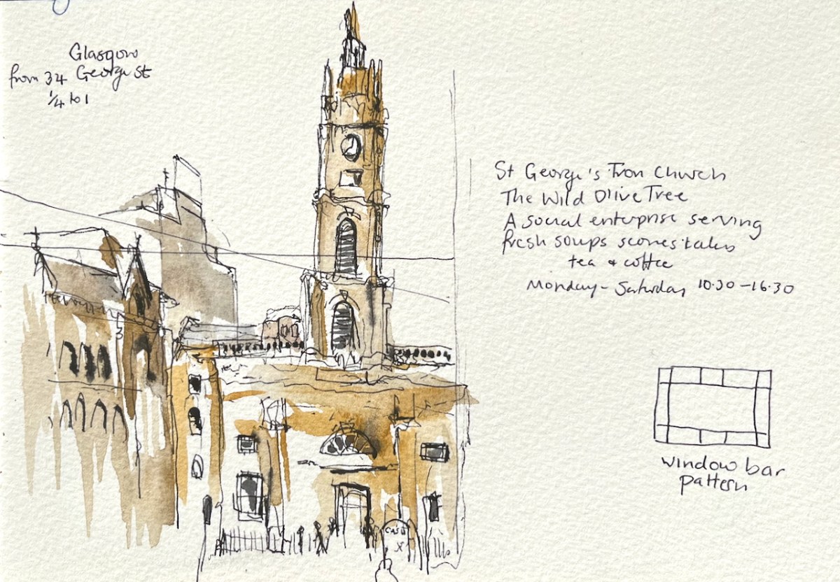
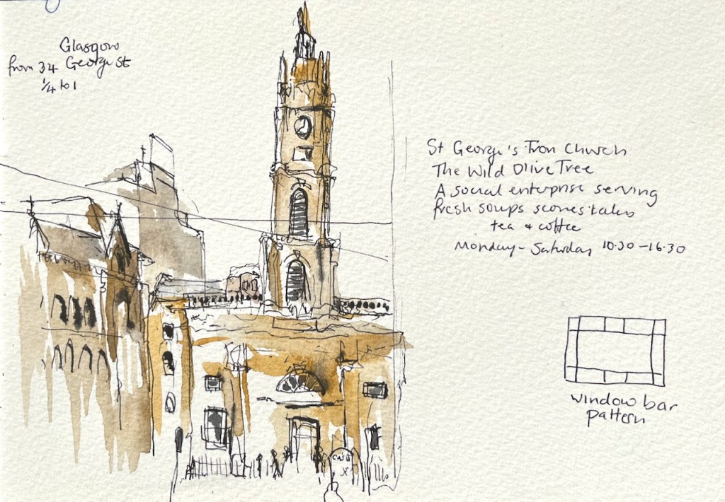
Here is West George Street, looking east, downhill towards St Georges Tron Church.

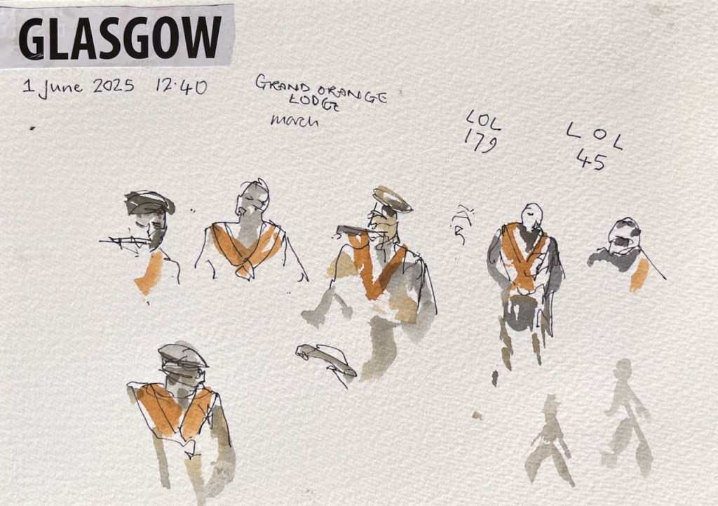
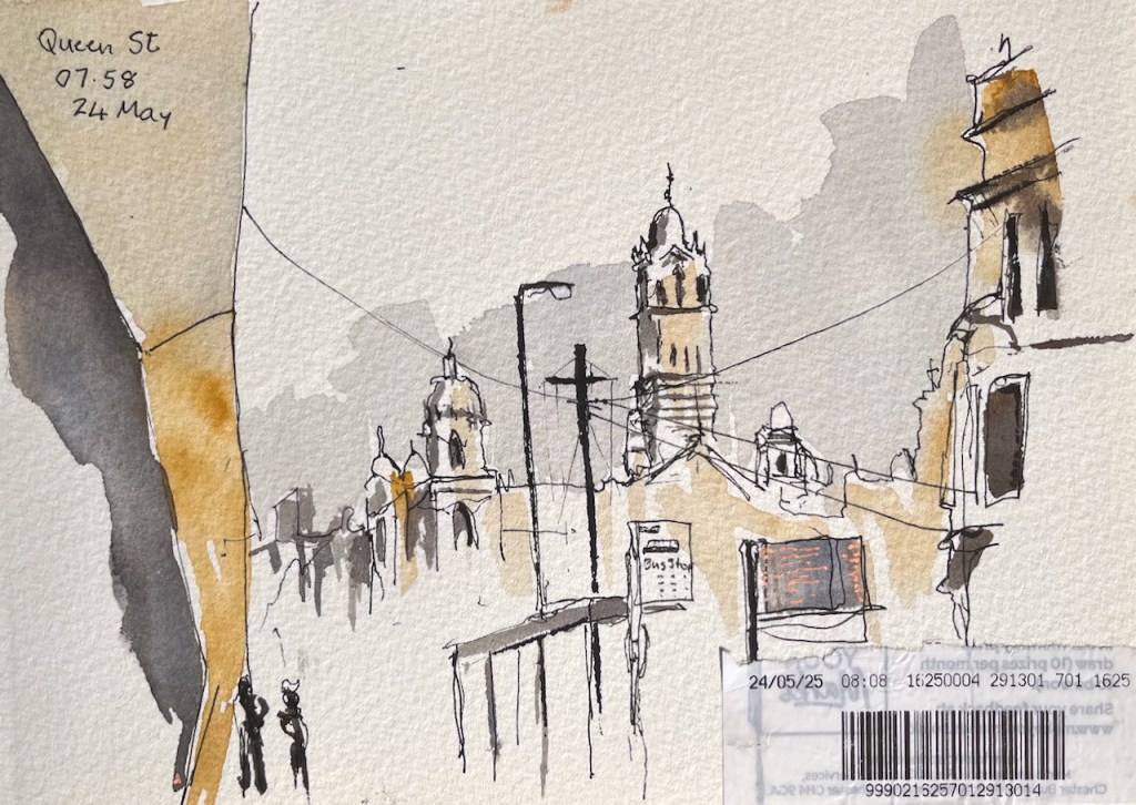
This was a Sunday. Glasgow was quiet. Until there was the sound of flutes, or perhaps more accurately fifes. And then a procession. I tried to sketch the people as they walked by.

Who were they? What was it about? I had sort of guessed, before I asked the police officer. “The Grand Orange Lodge” he told me. So this was an Orange March, a procession by Protestant fraternal societies. I had heard of them in the news as taking place in Northern Ireland, but I had not heard of them in Glasgow, or anywhere else. They arouse contention in some contexts. This procession seemed low-key and passed through peacefully, gone almost before I had thought through what I was looking at.

I walked on, in the opposite direction, towards the West End of Glasgow.

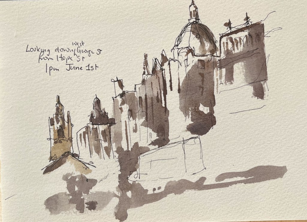
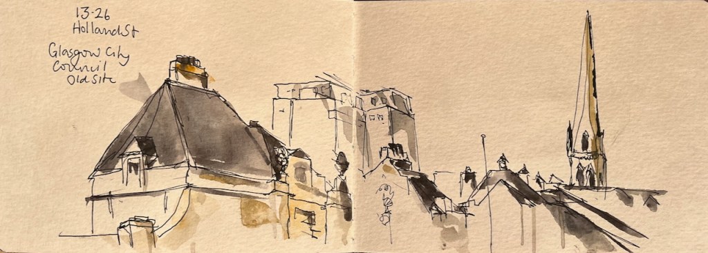
In Glasgow there are magnificent Victorian buildings, some of them strangely derelict and empty. Here is the roofscape of the former buildings of Glasgow City Council: huge empty buildings around a vast courtyard.

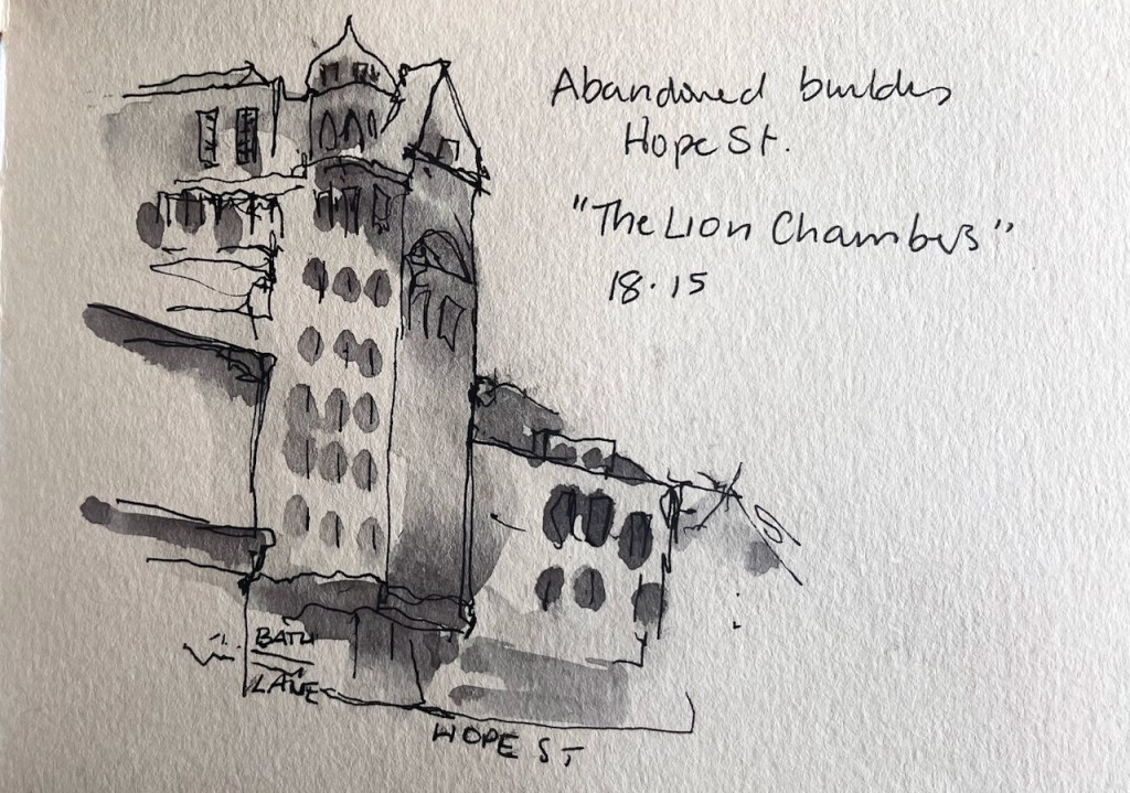
Here is an eight storey building on Hope Street: “The Lion Chambers”, perhaps a former legal practice.

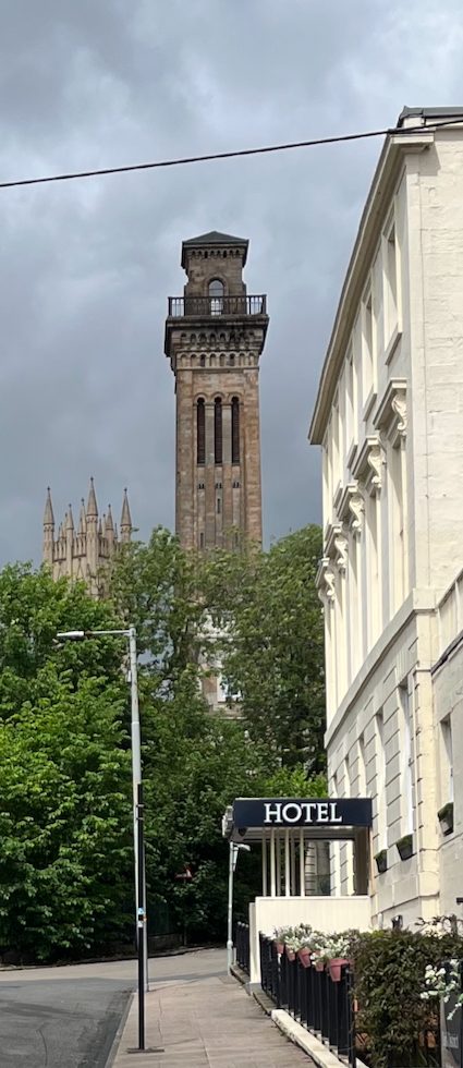
One of the joys of walking in cities is that you pass through invisible membranes, barely detectable boundaries between the derelict areas and the areas that have been reinvigorated, or between the commercial areas and the residential districts. As I walked West I saw a tower on the horizon, with a parapet.

This looked like the type of tower I have sketched in London at St Thomas’ hospital.

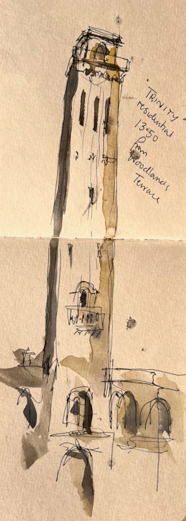
But on closer inspection it turned out to be a church. Or rather, it had been a church. Now it is a residential tower called “Trinity”, looking very smart.

I was sketching between rainstorms. By this time I was high up overlooking the city.

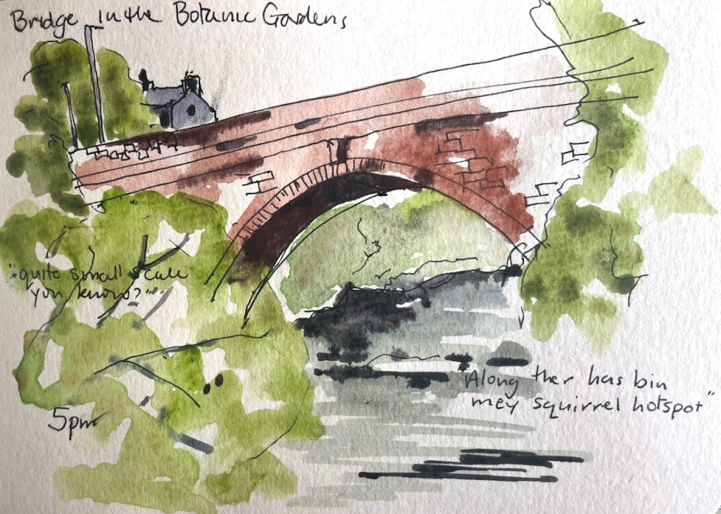
A bit further on there is the botanic gardens. The rain stopped and suddenly the place looked like a sunlit utopia, with people of all kinds and all ages out sitting on benches and chatting to each other amongst flowers and cultivated trees. Further on still, I came to a river.

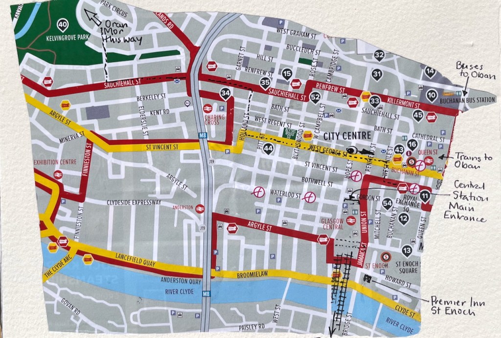
It was time to turn around and head back East. I became comprehensively lost amongst the pedestrian underpasses knotted around the M8 motorway. But an elderly gentleman put me right, turning around and walking with me to the summit of a bridge, from which vantage point he could indicate the correct route with his walking stick.

It’s a city of many cities, is Glasgow. Wealth and dereliction, renovation and decay. There is a sense of waves of renewal, ups and downs. Or perhaps that was just because I was returning from a sea trip, and the pavement was not yet entirely steady under my feet.

Sketch and Sail – May 2025 -Hebrides

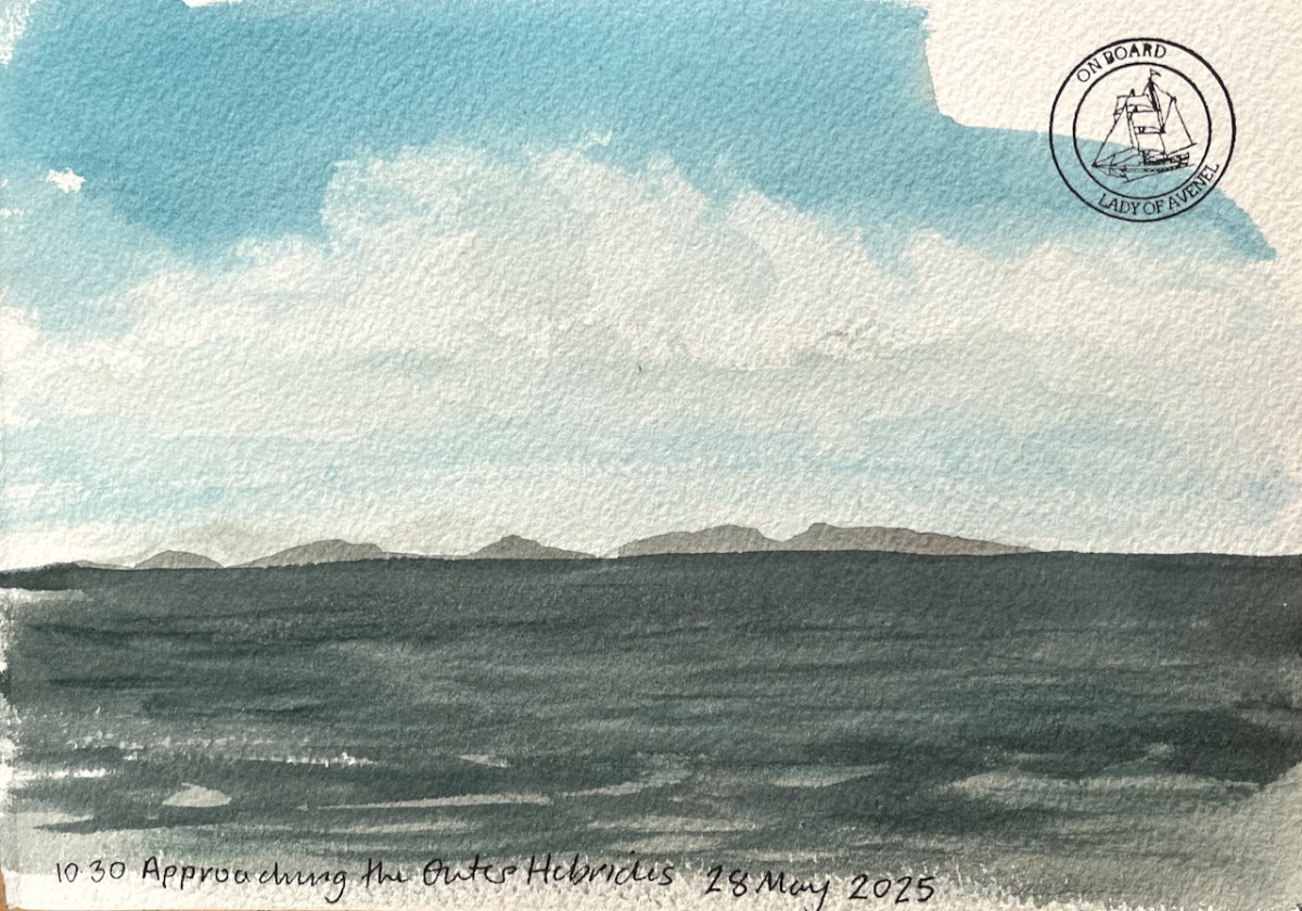
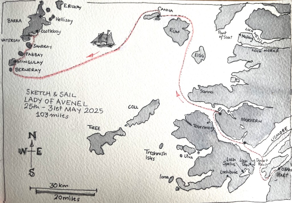
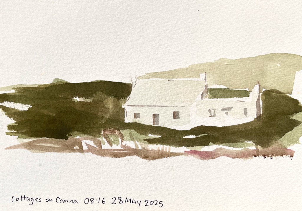
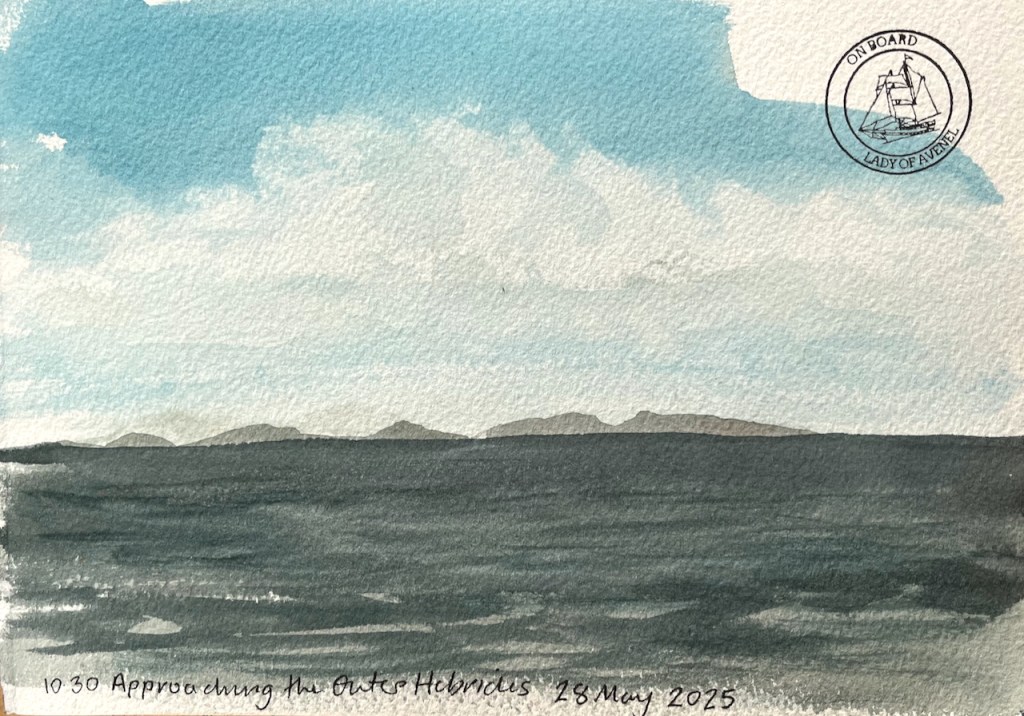
I’m thrilled to be one of the tutors on the Lady of Avenel “Sketch and Sail” adventure. I have just returned from the May 2025 voyage in the Scottish western isles.

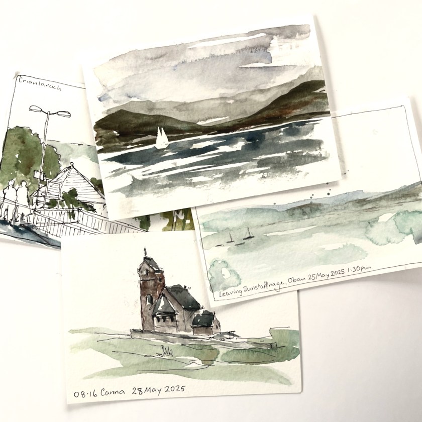
Postcards from Sketch and Sail May 2025

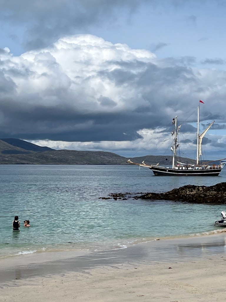
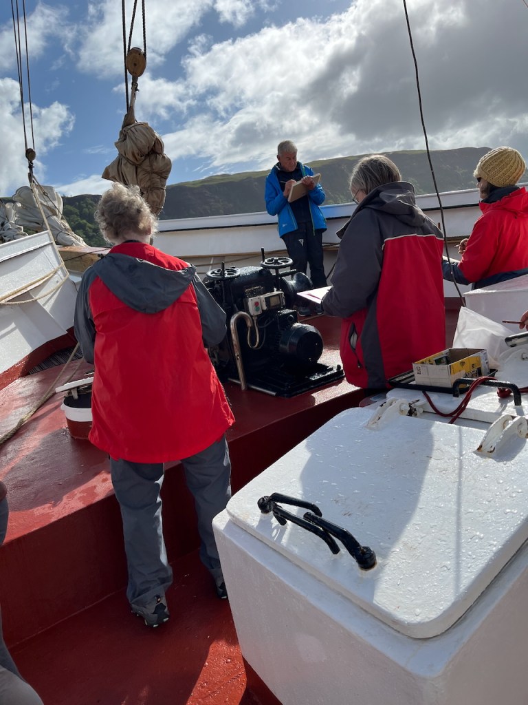
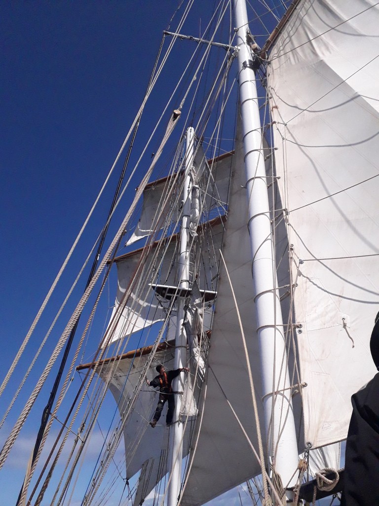
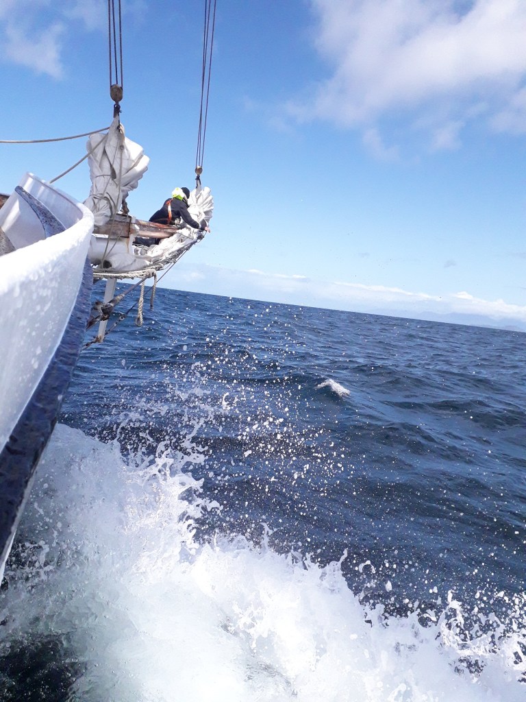
We travelled over 100 miles, much of it under sail. Fellow artist Alice Angus and I delivered sketching workshops to a companionable group of participants, and everyone made lots of sketches. Some people also steered the boat, managed the sails, swam on the sandy beaches, and a few brave participants went up the mast.

If you would like to join us on a future trip, there is another date in August – and two more voyages are planned for 2026. See this link for more information or contact me.

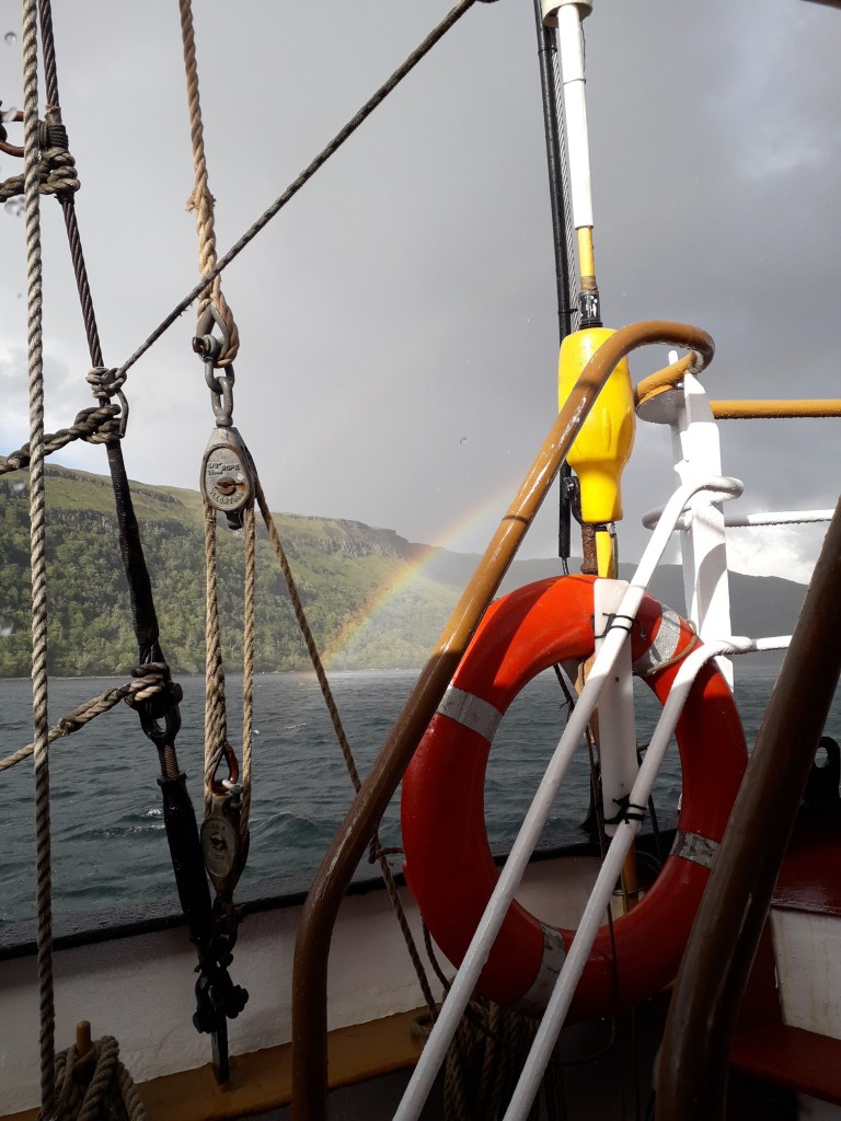
Here are a few of the many photographs from the May 2025 trip:

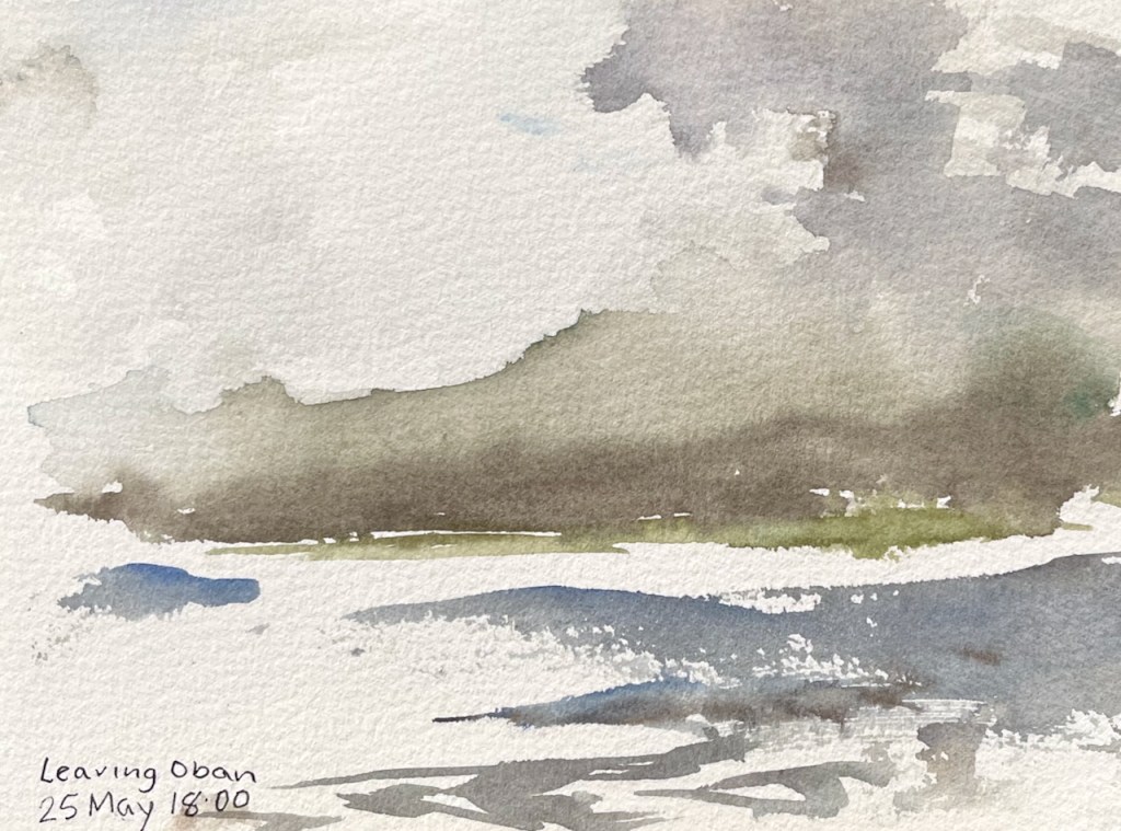
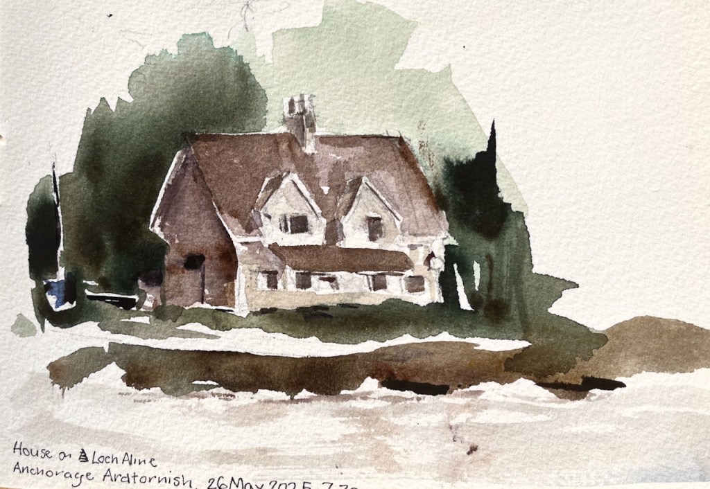
Here are some of my sketches from the trip.

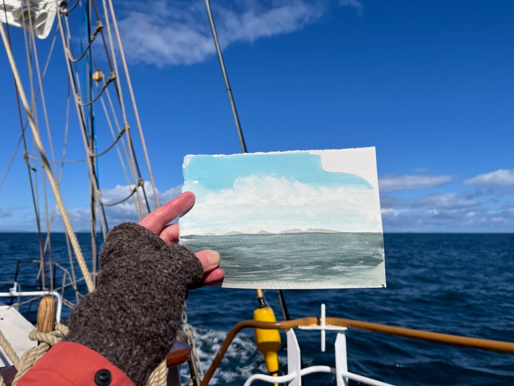
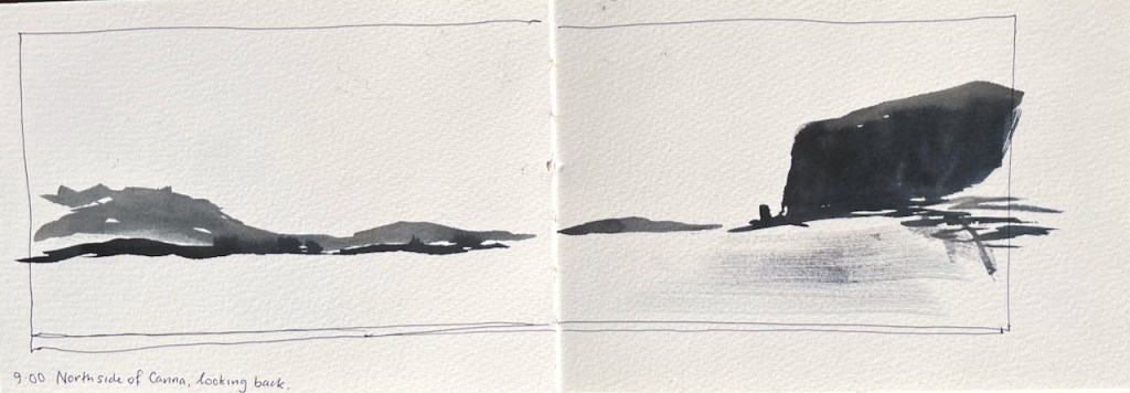
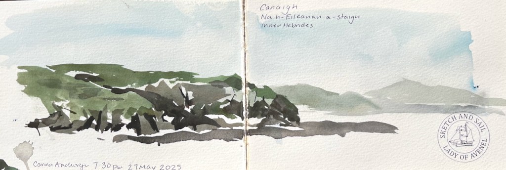
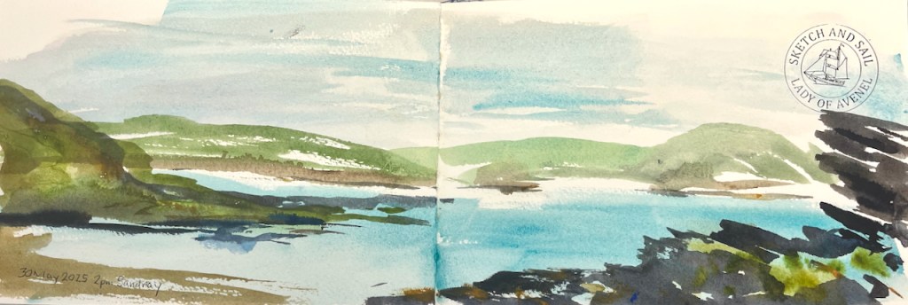
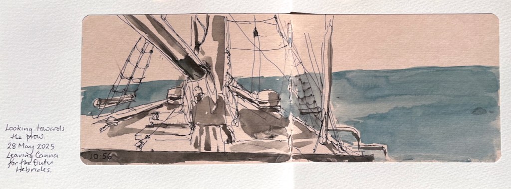
I took an A5 sketchbook from JP Purcell, and sometimes sketched the landscape view across two pages:

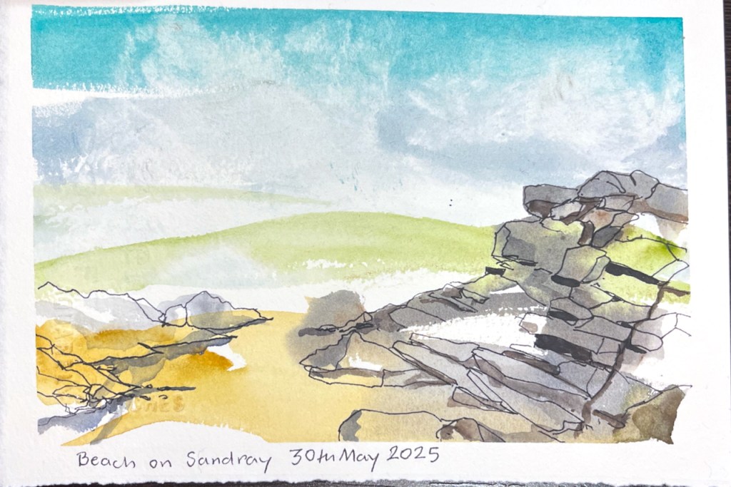
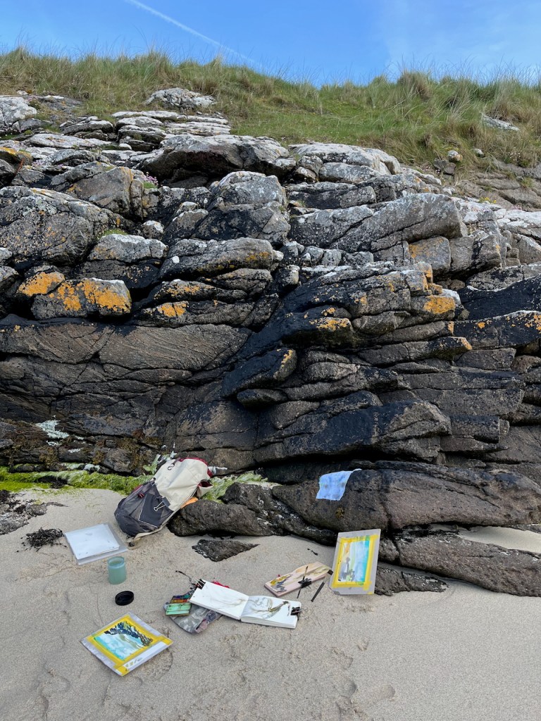
The beach at Sandray was a great sketching location. Here is a photo of my sketching spot.

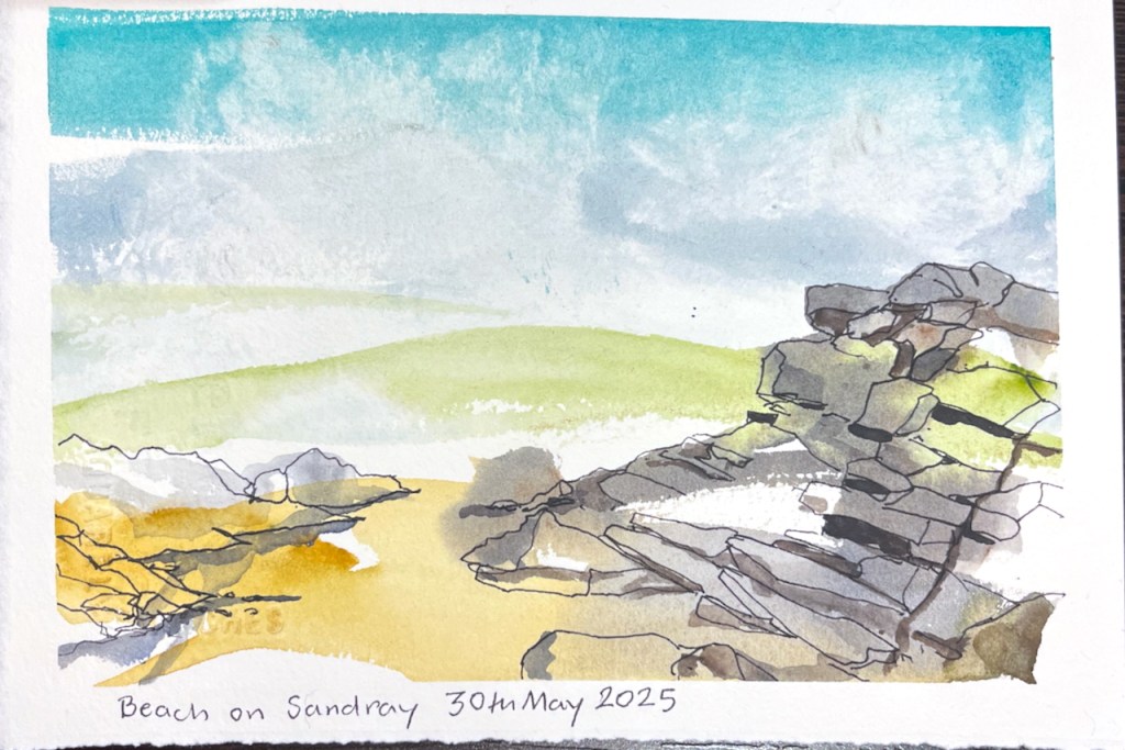
Here is one of the drawings I made here:

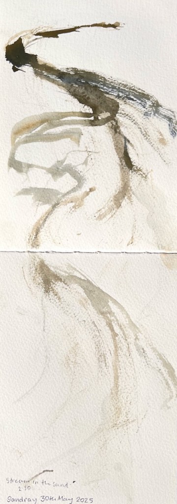
There was a stream running down the beach.

The stream on the beach, sketch made using seaweed and sea water.

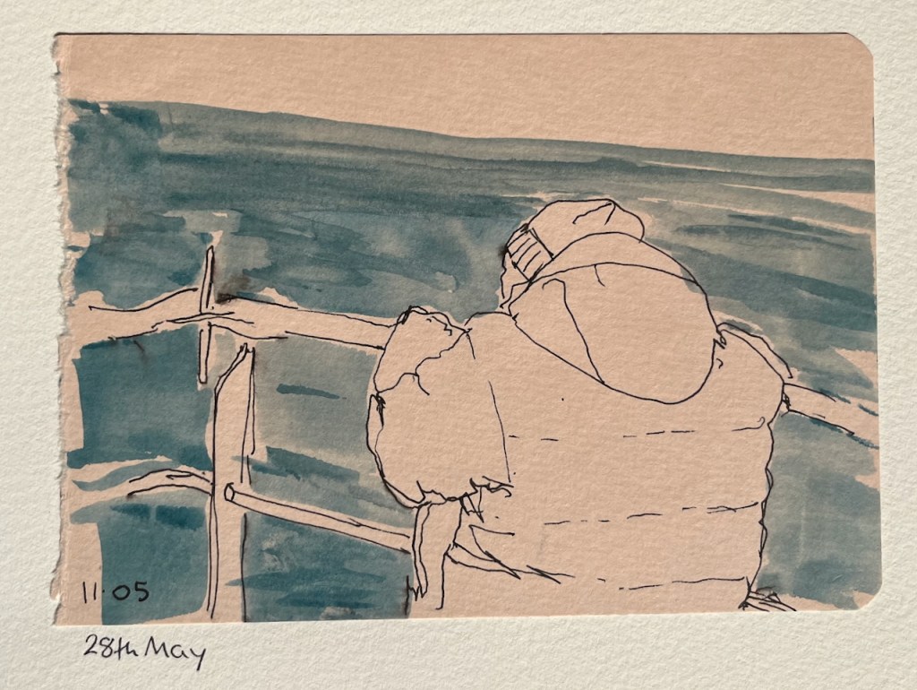
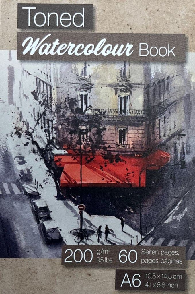
The other sketchbook I took was a small A6 toned watercolour book made by Hahnemühle.

On the way back to London I had a few hours walking and sketching in Glasgow – I’ll put those sketches in another post.

Meanwhile, here is a sketchbook flick-through so you can see the whole week in seven seconds of silent video. [videos might not play properly on mobiles or emails – please try the web-based version]

Sketchbook flick-through.

Materials:

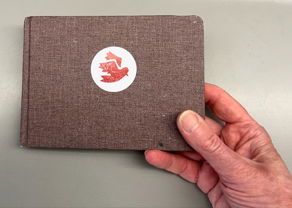
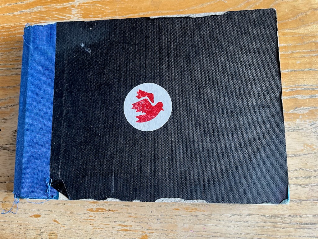
My main sketchbook was 300gsm watercolour paper, A5, from JP Purcell in Southwark, London. The bird sticker on the front is my design, printed by Vistaprint.

A well-used sketchbook: A5 watercolour paper, from JP Purcell.

I also used a small toned sketchbook from Hahnemühle.

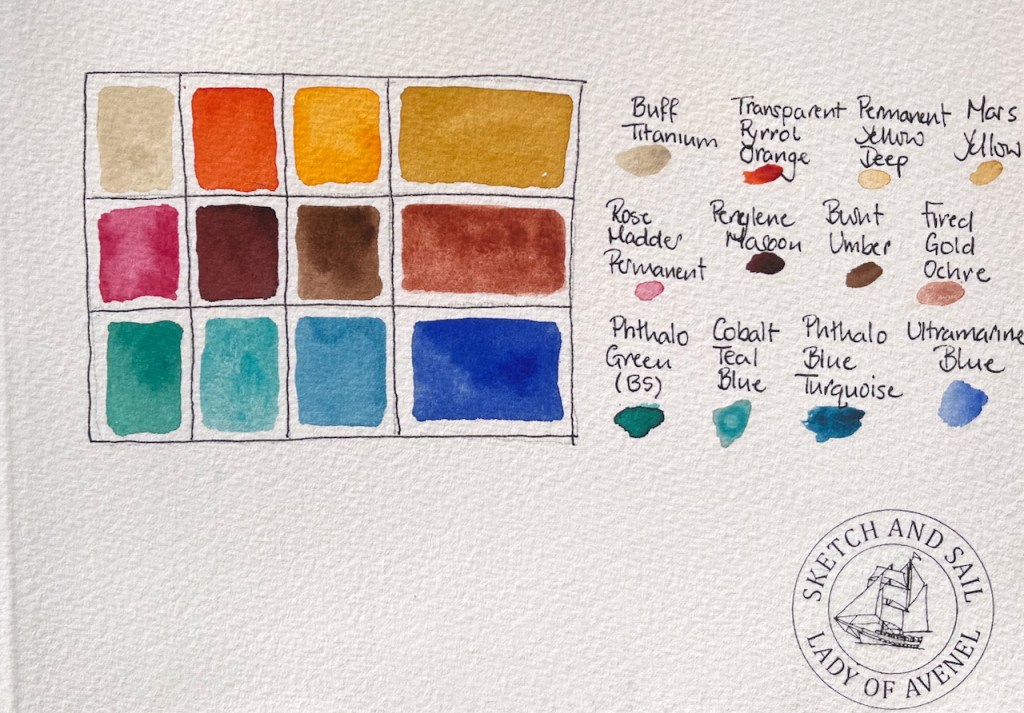
Here is my colour palette, all traditional watercolours:

Colours used this week: all Daniel Smith except the Ultramarine Blue which is Schmincke Horadam

Here are the brushes I use. Mostly I used the large flat brush, which is from Rosemary Brushes. It is about an inch across.

Any other questions? If you’re interested in the Sketch and Sail adventure in August, or next year, do get in touch.

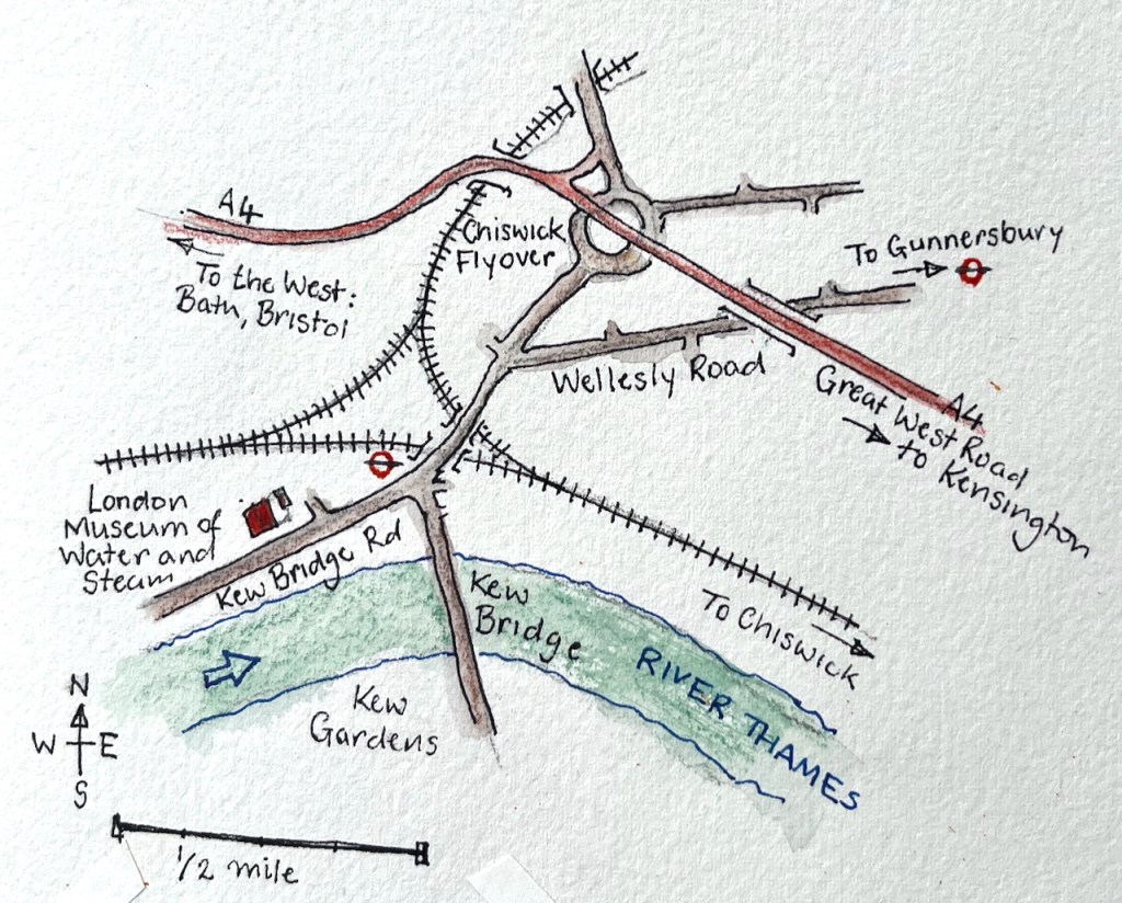
London Water and Steam Museum, Brentford, TW8 0EN

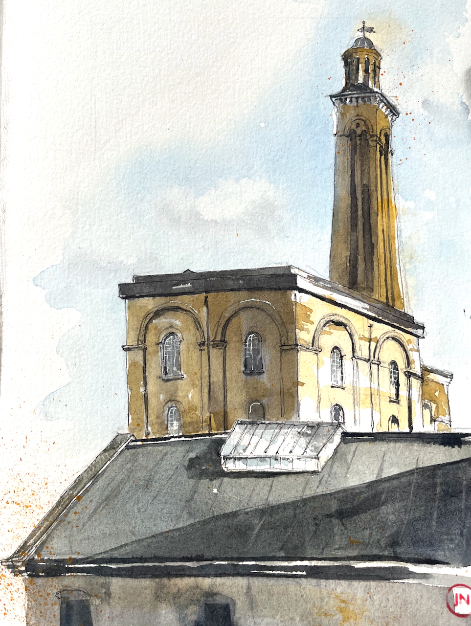
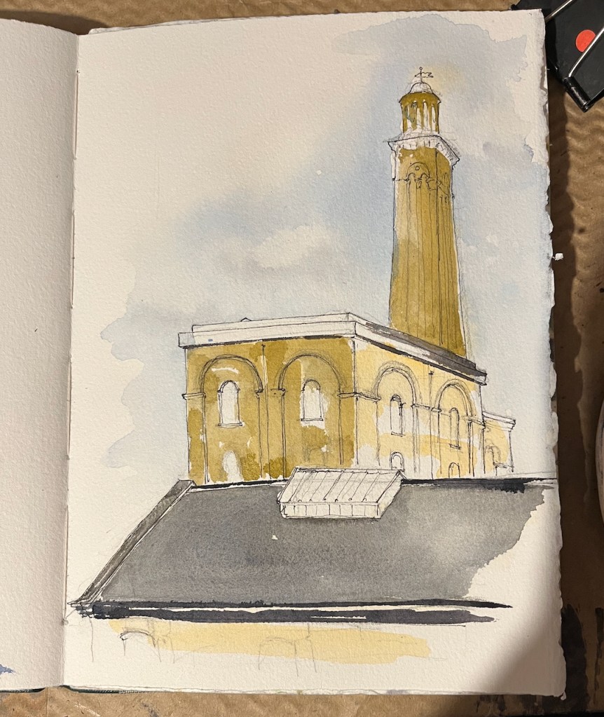
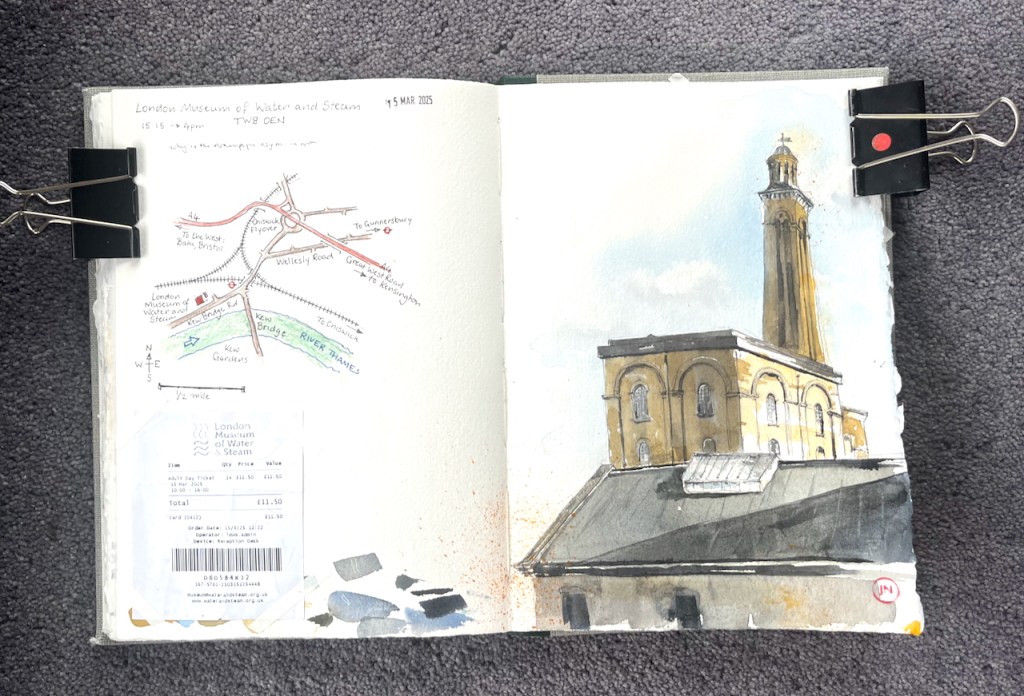
Here is the magnificent London Water and Steam Museum.

It’s definitely worth a visit if like me you are fascinated by steam engines. But there’s more. This museum is a whole education in the London drinking water and sewerage system: past and present.

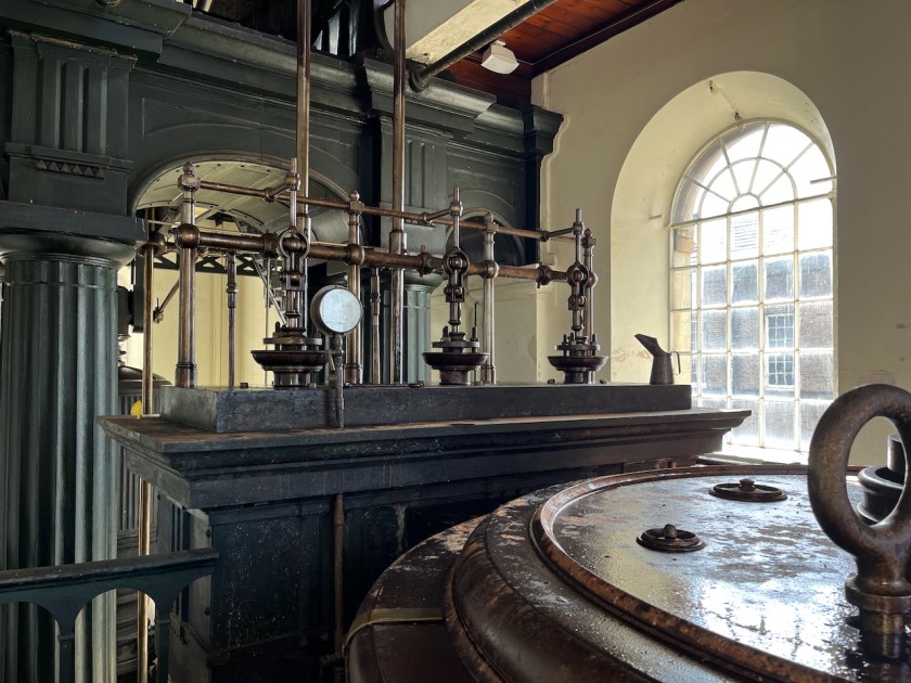
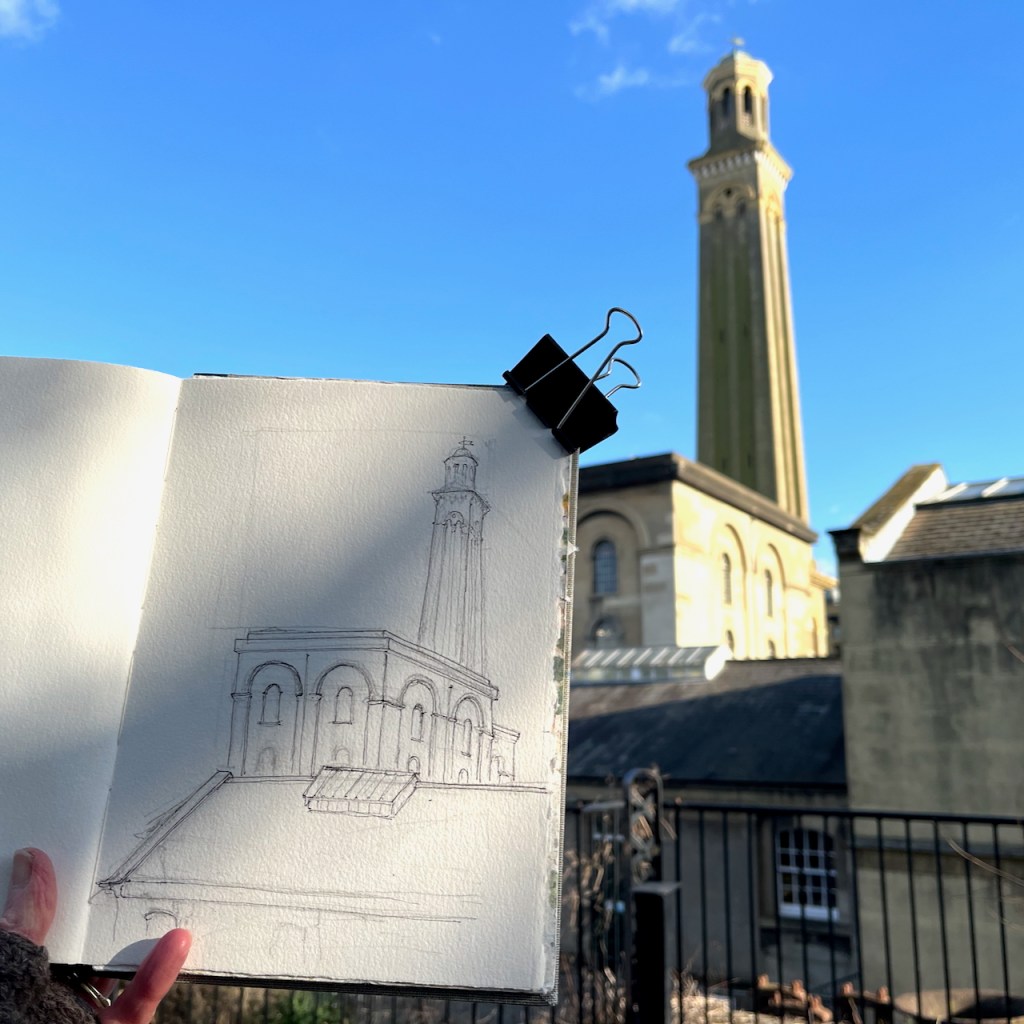
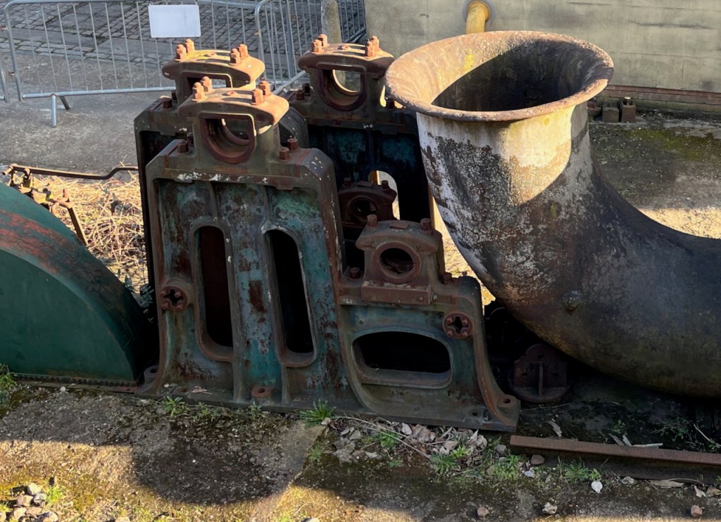
The building I’ve sketched houses the “100 inch pumping engine” and the “90 inch pumping engine”. These are steam pumps over a hundred years old. The inches refer to the diameter of the pump cylinder. Their job was to pump drinking water from the Thames to premises in London. The 90 inch engine started working in 1846 and the 100 inch started in 1871. They both retired in 1943, by which time the 90 inch had been going 97 years. The 100 inch gave a demonstration in 1958, which was the last time it pumped water. The 90 inch was restored to working order by enthusiasts in 1973, and now gives demonstrations in the museum. The 100 inch has yet to be restored.

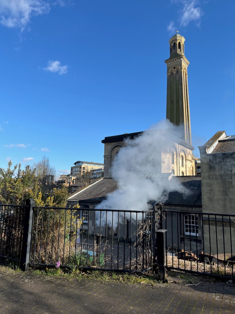
The tower in my sketch is not a chimney. It is a “standpipe tower”. It holds big vertical pipes and a reservoir to store water and regulate the pressure. The strokes from the steam engines created powerful surges of water. You don’t want those powerful surges going directly into the mains water supply, and as they might damage the pipes and surprise consumers. So the steam engines pumped the water up this tower instead. From there, the water flowed out to consumers smoothly.

Providing running water was a whole big problem in the Victorian era. The machines were gigantic so that they could generate sufficient water pressure to get the water up to the second floor of the new Victorian houses which had bathrooms upstairs. That’s not something we normally think about: but I can see it’s an issue.

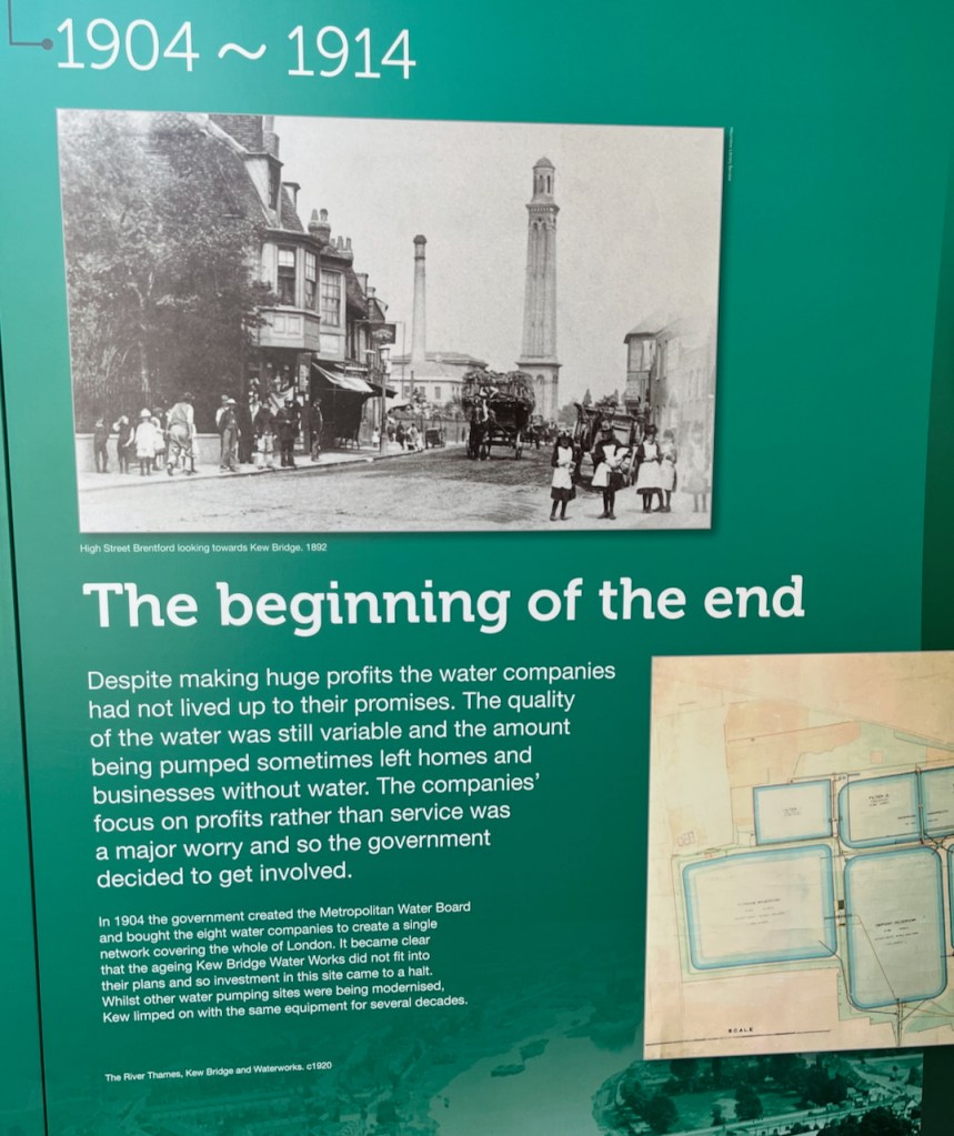
Then there was the whole big issue of the purity of the water, and whether it was actually drinkable. There were a number of private water companies at the time, in competition with each other, and vying for business, making claims for their water quality, and returning dividends to their shareholders. This was the late 19th century – 100 or so years ago.

A display panel soberly tells us:

“Despite making huge profits the water companies had not lived up to their promises. The quality of the water was still variable and the amount being pumped sometimes left homes and businesses without water. The companies’ focus on profits rather than service was a major worry and so the government decided to get involved.
In 1904 the government created the Metropolitan Water Board and bought the eight water companies to create a single network covering the whole of London. …

As well as history, I learned about today’s drinking water.

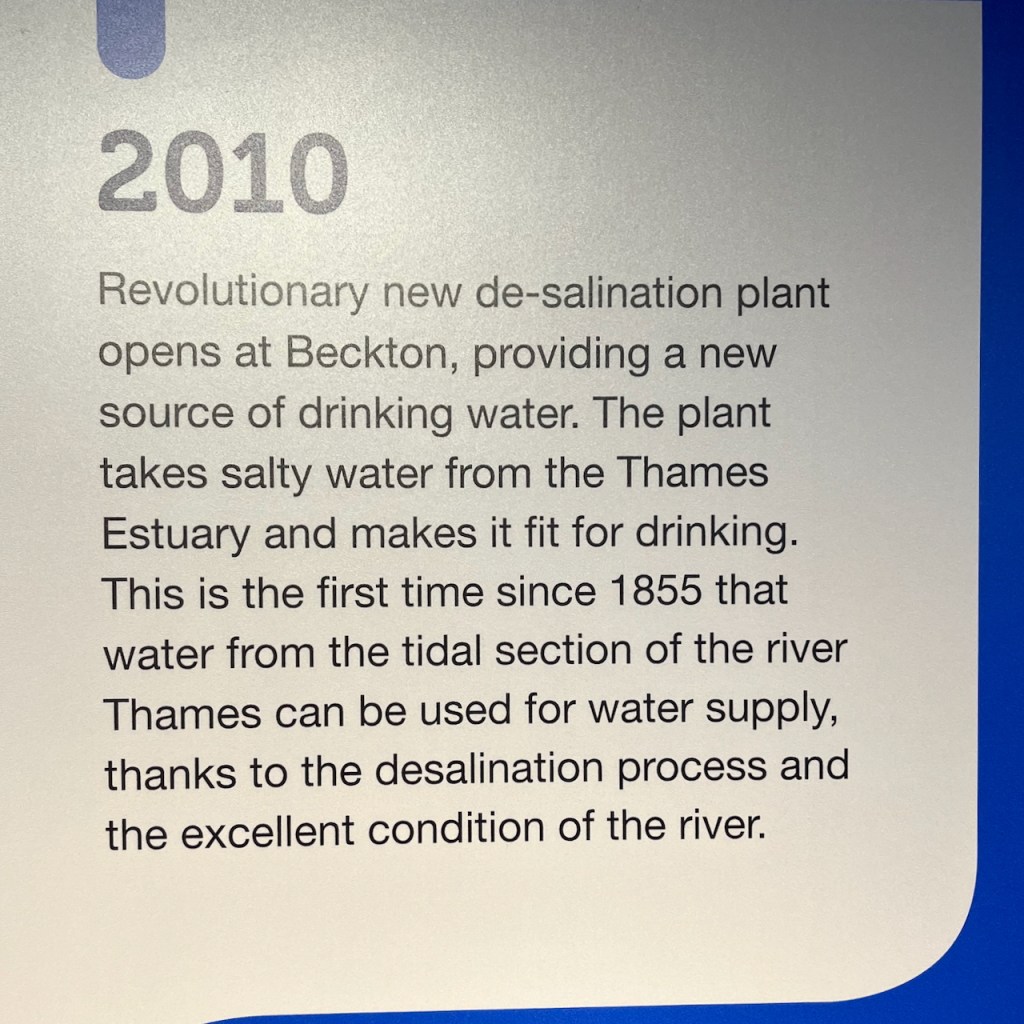
For example: did you know that 10% of London’s drinking water is de-salinated water from the Thames estuary? The “revolutionary new de-salination plant” opened in 2010:

I watched a gripping – and somewhat alarming – video of heroic engineers cautiously making their way down soaking brick-lined pipes in the sewers below London streets. They were down there to inspect and clear blockages. I also saw the “rat” robots that can be sent down the smaller sewers – it’s a tough environment for technology.

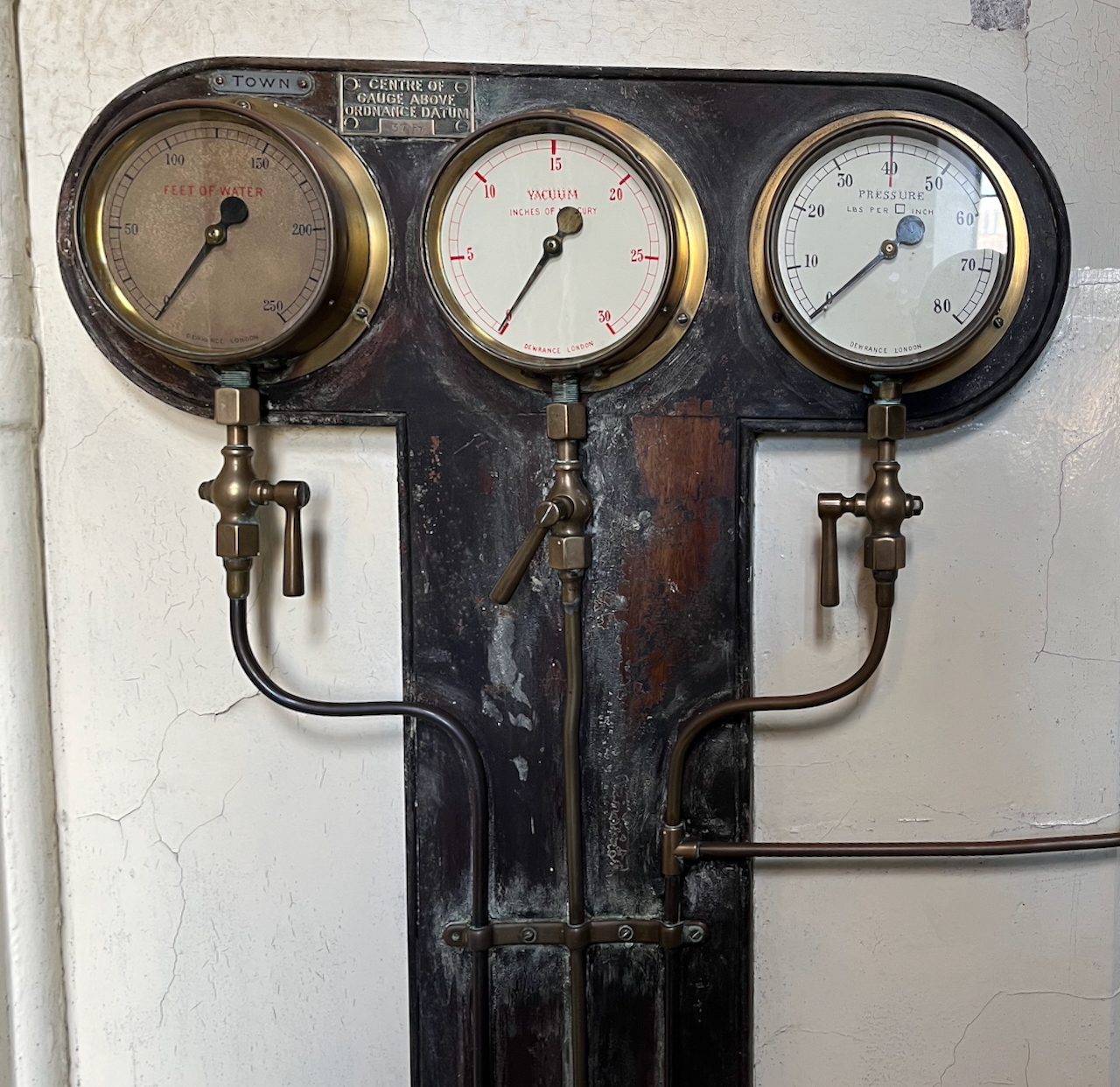
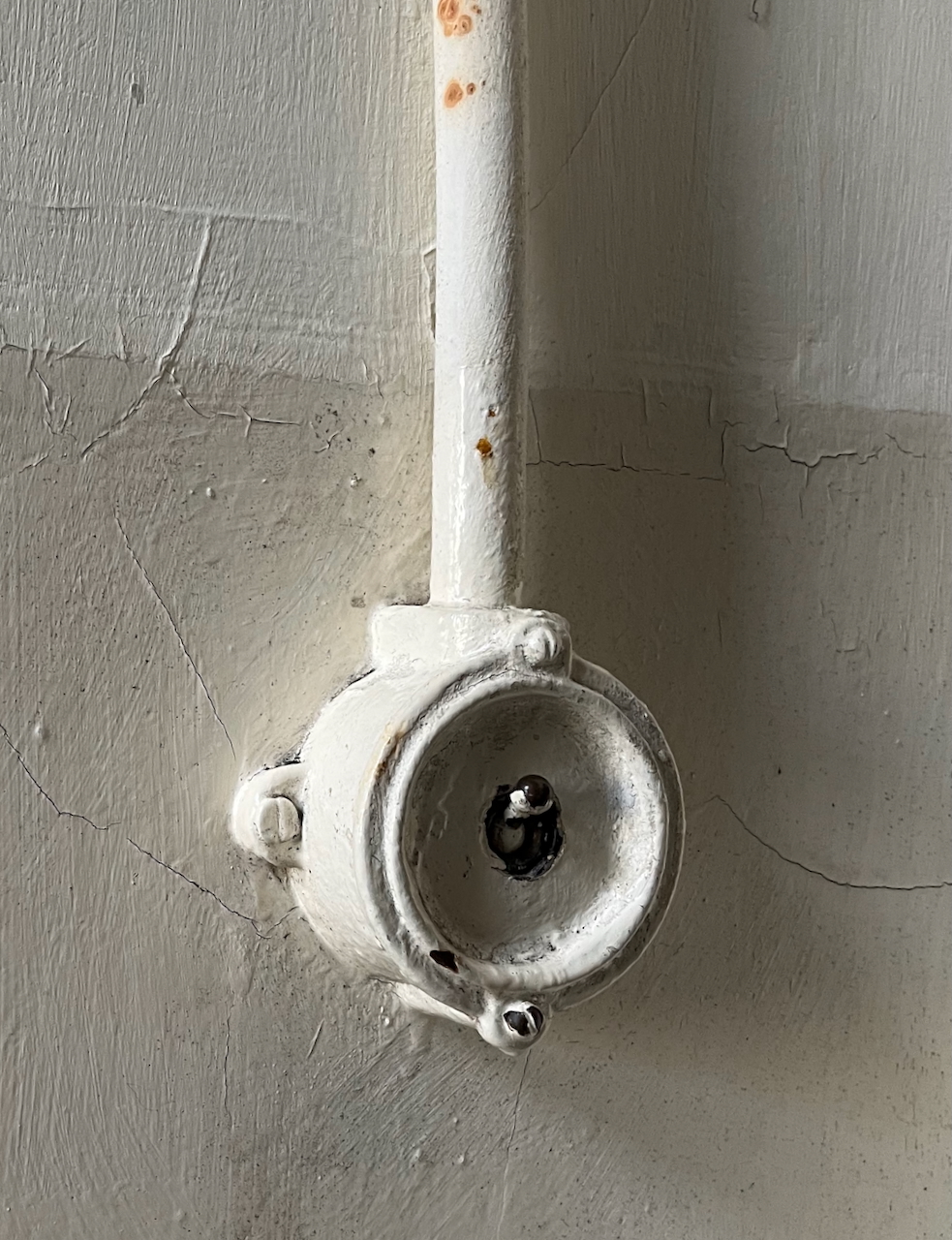
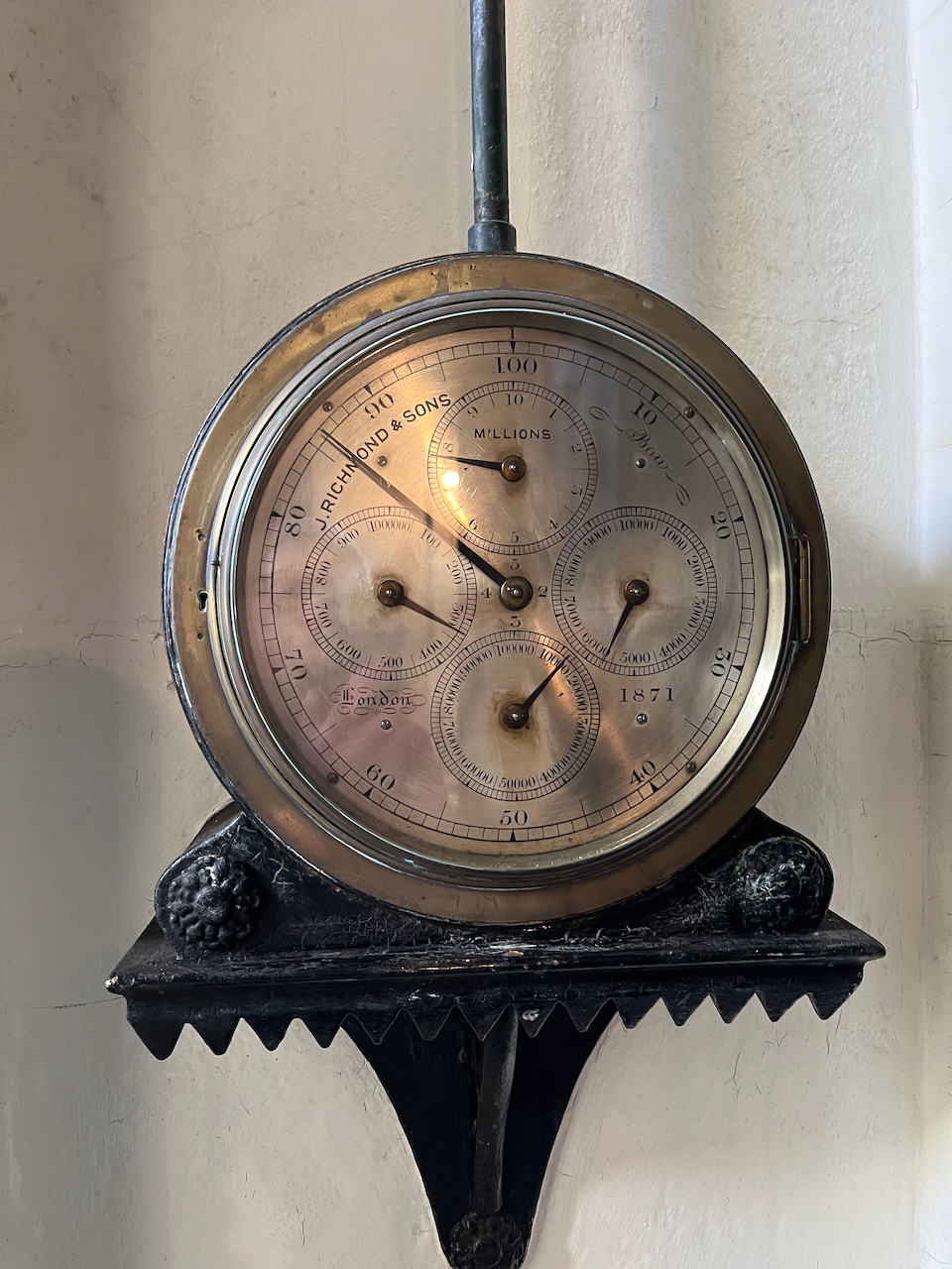
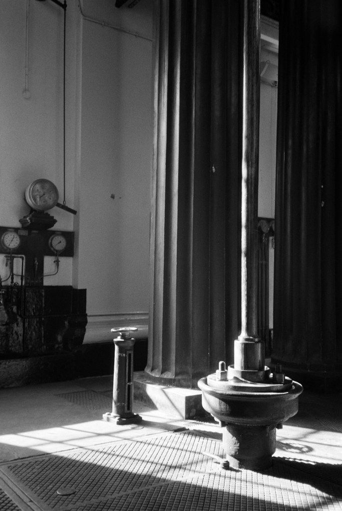
As well as all this gripping factual information, there’s much of strange beauty in the machinery. I particularly enjoyed the devices and dials.

Definitely recommended. It’s on the underground. No café: take a picnic to eat at their indoor tables.

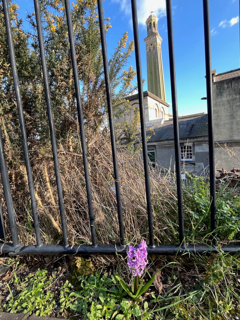
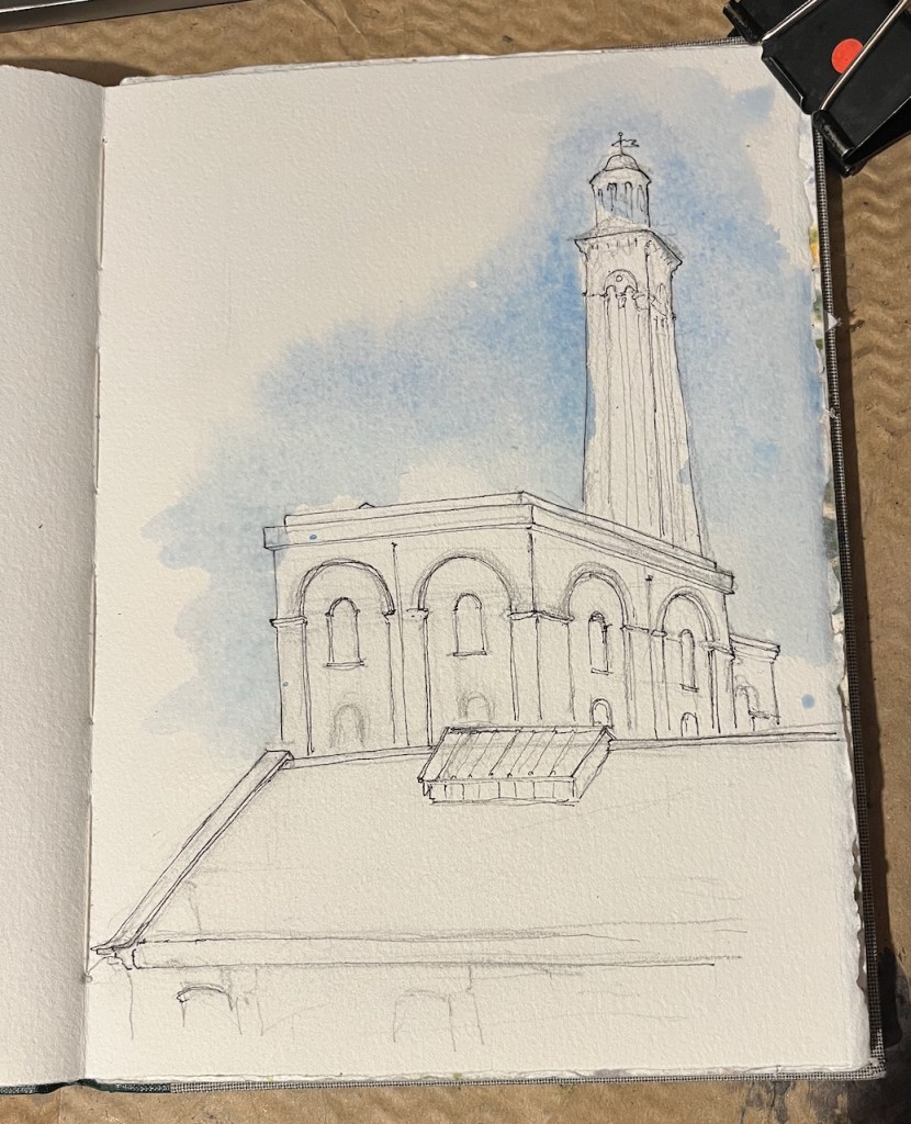
It closes at 4pm – I managed to do the sketch from the garden, just before they closed the gates.

I added the colour later.

Sketchbook 15

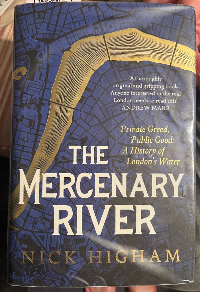
Information in this post is from placards in the museum or from their website. Inspired by my visit to the museum, I read this excellent book about London’s water supply:

“The Mercenary River” by Nick Higham

1 Wood Close E2

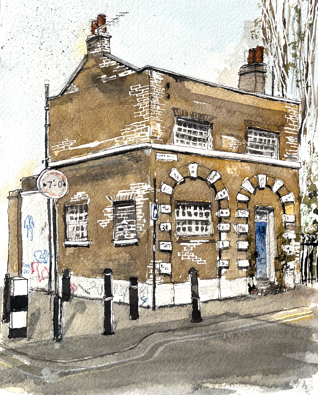
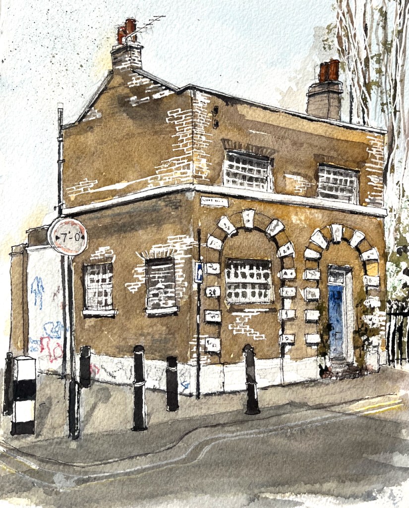
See this interesting building! It’s just a few hundred yards from Brick Lane in East London.

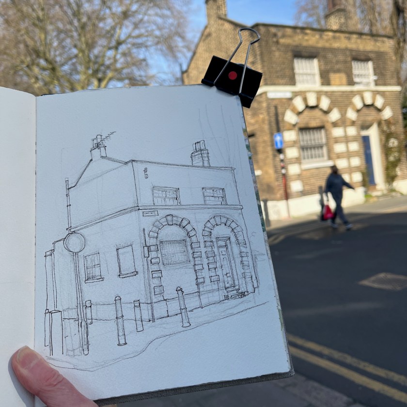
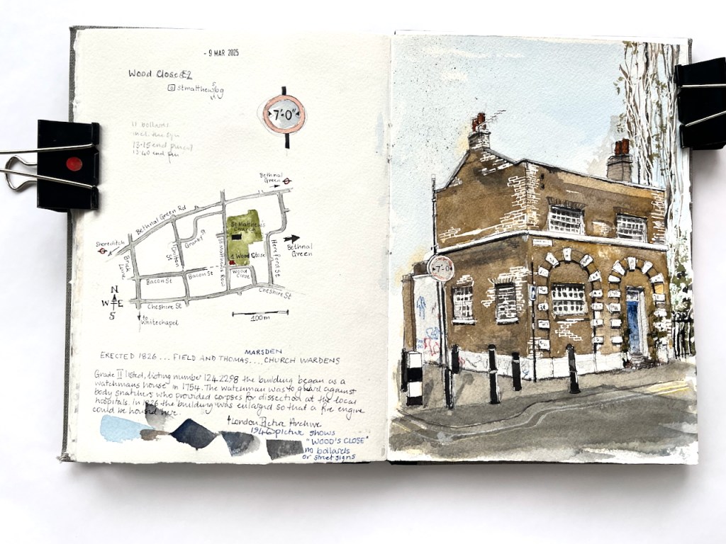
1 Wood Close E2, sketched around midday, 9th March 2025 in sketchbook 15

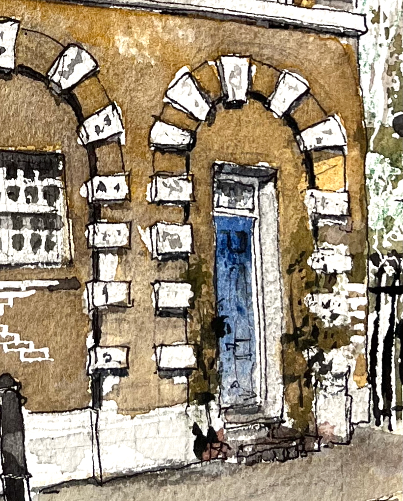
I’d walked past it a few days previously, when I had been taking a circuitous route through East London on the way back from Hackney Wick. It’s an unusual building for the neighbourhood, most of which is terraces or blocks of post-war flats. This building stood out, on its own, at a street corner. What is it doing there?

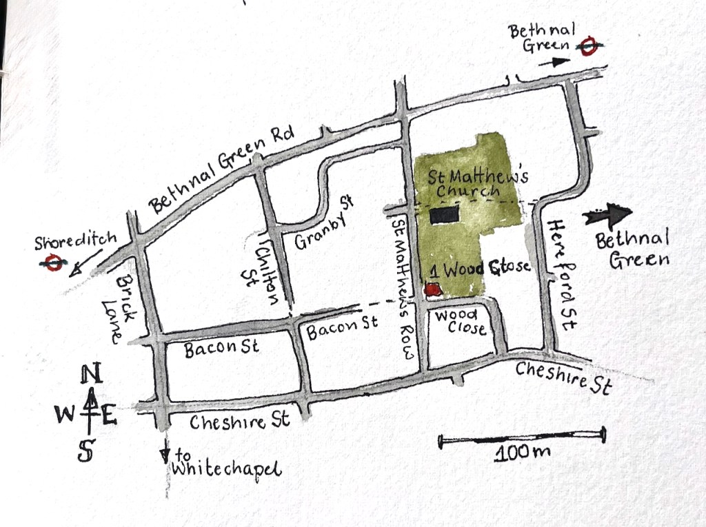
Sketch map showing the location of Wood Close: just to the east of Brick Lane.

I went back a few days later for a closer look. On the white band at the front of the building I could decipher some words:
“ERECTED 1826 [something] FIELD AND THOMAS [something] CHURCH WARDENS”

London Picture Archive has a photo of this building from 1946. The words on the front were a little clearer in 1946, so I can read that Thomas’ second name was MARSDEN. The London Picture Archive caption says that “the building began as a watchman’s house in 1754. The watchman was to guard against body snatchers who provided corpses for dissection to local hospitals. ” So that’s what it was doing: it was guarding the graveyard.

The London Picture Archive caption goes on to say that “In 1826 the building was enlarged so that a fire engine could be housed there.” That’s the building we see now, labelled 1826. It doesn’t look big enough for a fire engine.

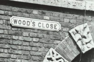
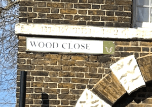
In the London Picture Archive photo from 1946, the street name affixed to the building says “Wood’s Close” which would indicate it was named after someone called Wood. Today the street name on the building is “Wood Close”

This building is listed Grade II.

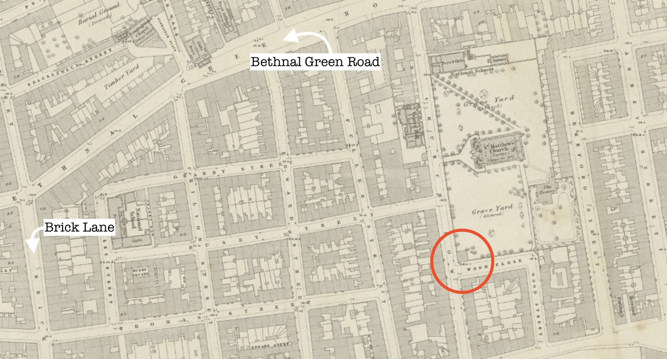
This link shows a 1872 map. Here’s an extract. Click the map to go to the National Library of Scotland map which is very detailed. The street is called “Wood Close” on this map. You can see the “Grave Yard (disused)”. The Watch House, circled in red below, is in the corner of the graveyard, which makes sense.

Area around Wood Close: 1872. Reproduced with the permission of the National Library of Scotland CC-BY(NLS)

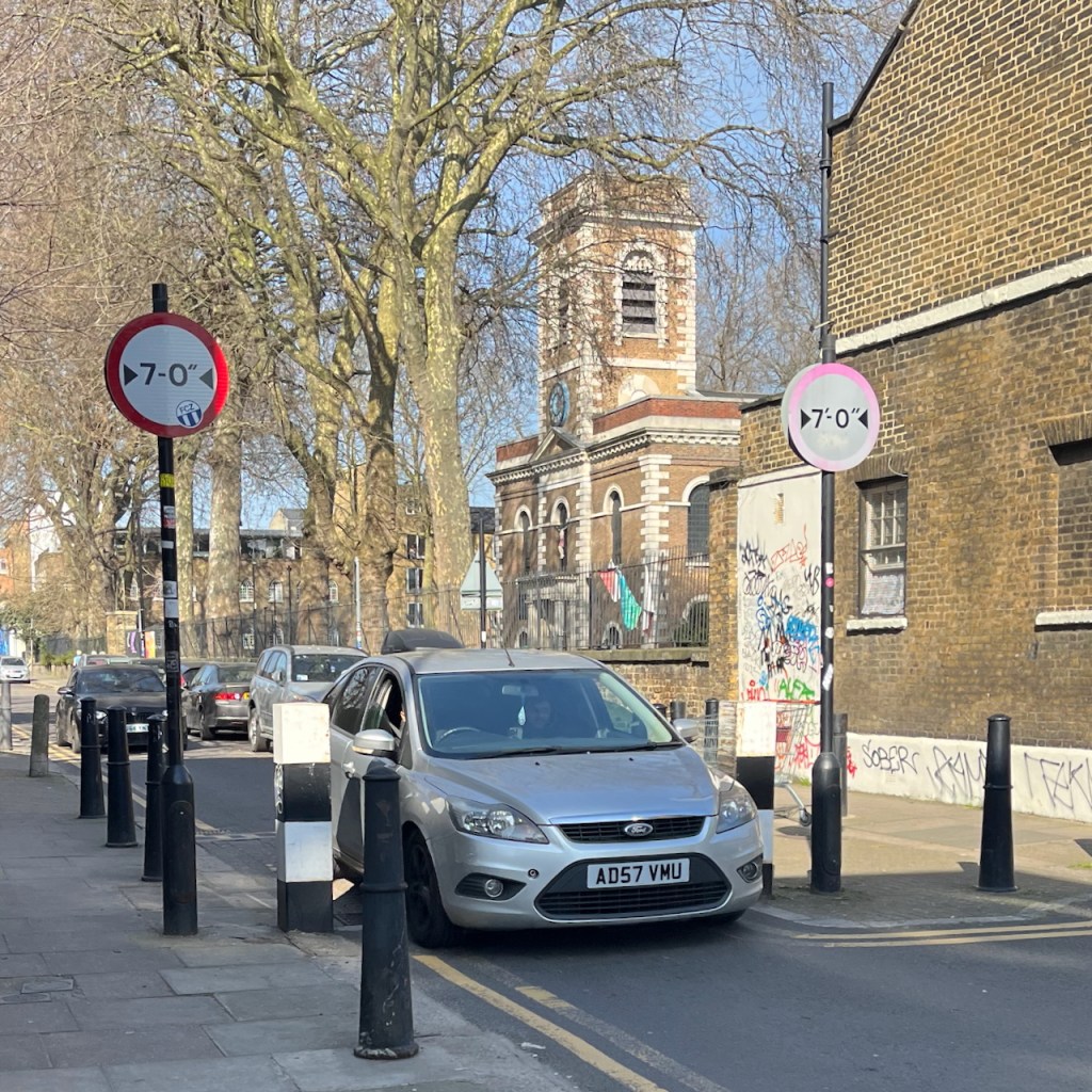
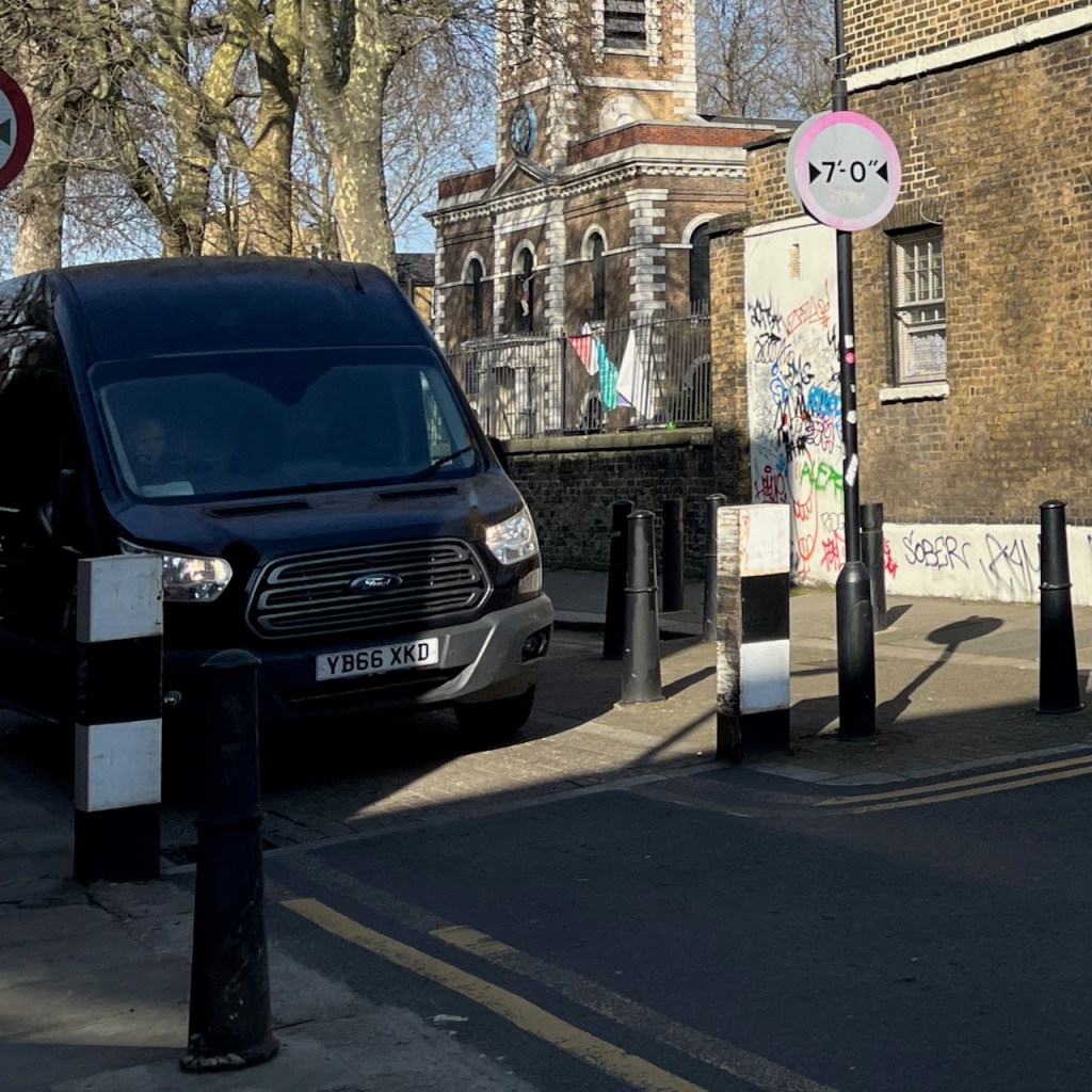
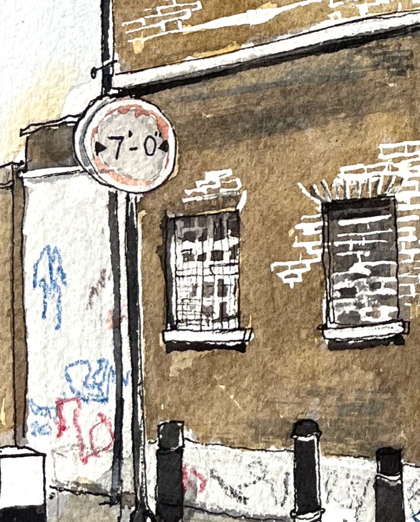
As you see in my sketch, there are now a prodigious number of bollards in front of the house. I counted ten of them, standing like an amused crowd next to the “7′-0” sign . While I was standing there sketching, I saw why. The idea is to restrict the width of St Matthew’s Row so that vehicles have to slow down or stop, and cars can’t sneak round the edges. I watched agog as huge limousines edged between the bollards.

This Watch House, and the nearby Parish Hall are owned by St Matthews Church:

The Church also own the Watch House on Wood Close, which is currently let out to private tenants, and the Parish Hall on Hereford Street, currently let out to State51.

https://www.st-matthews.org.uk/hire-our-spaces/

It’s a house on a corner, with an active life and a history. I was glad to make its acquaintance.

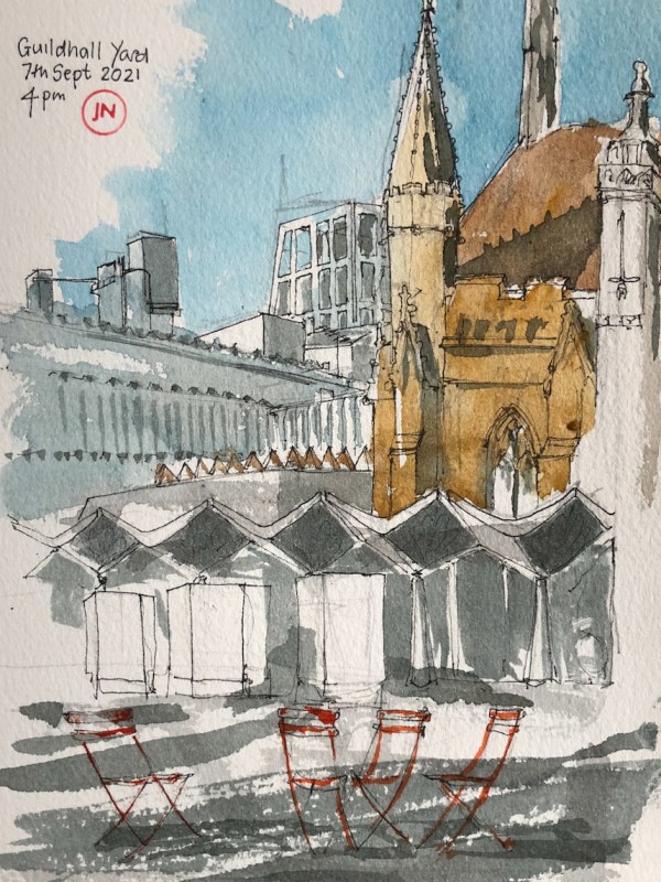
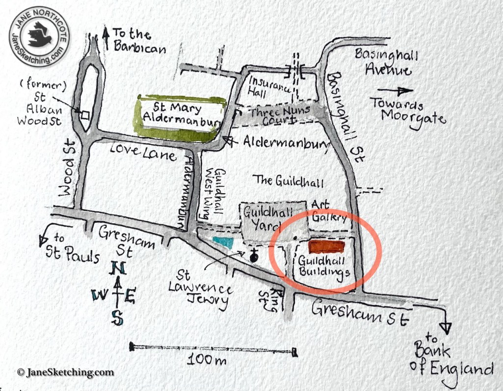
Guildhall Buildings, EC2

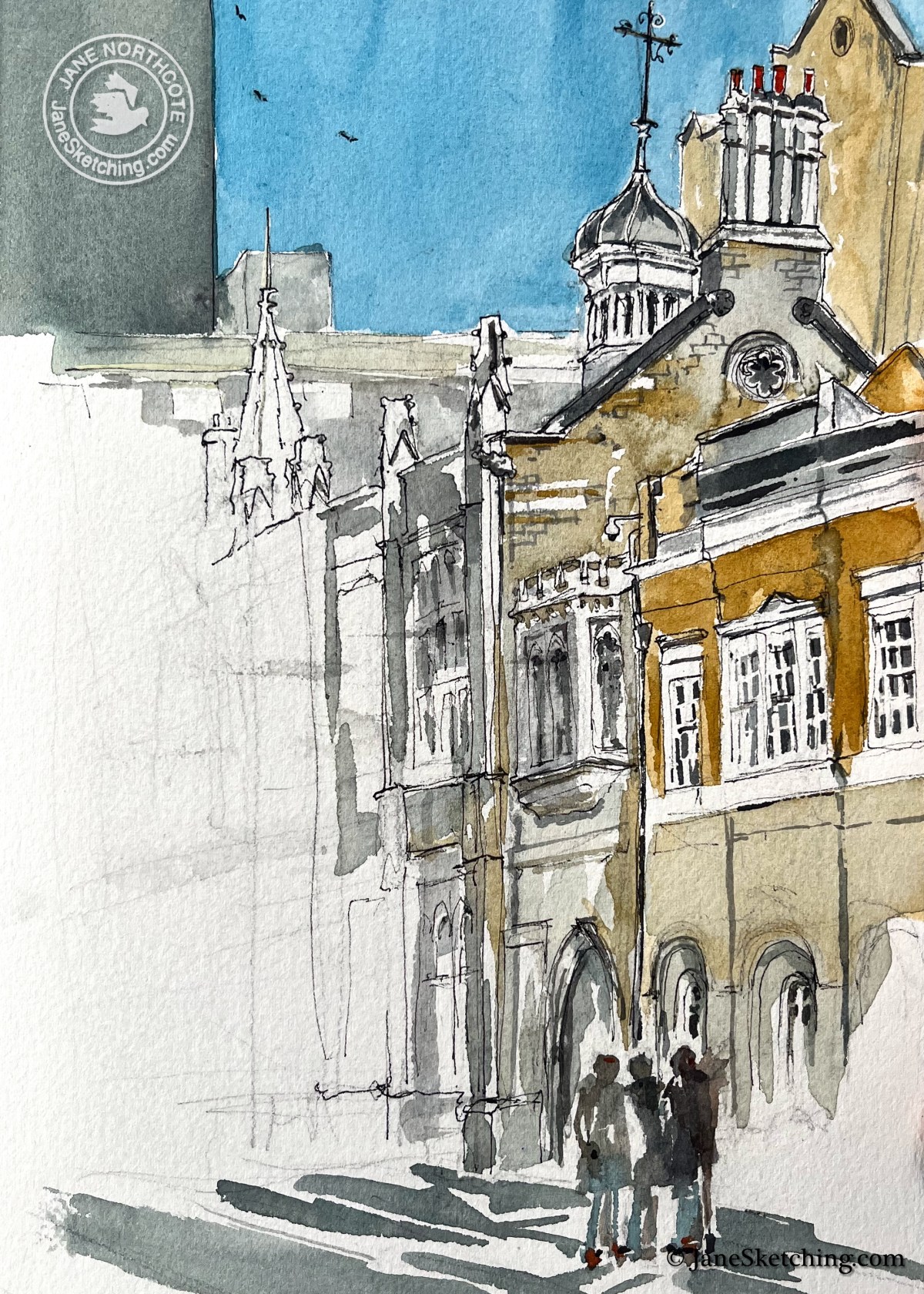
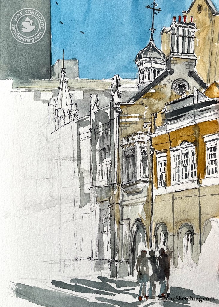
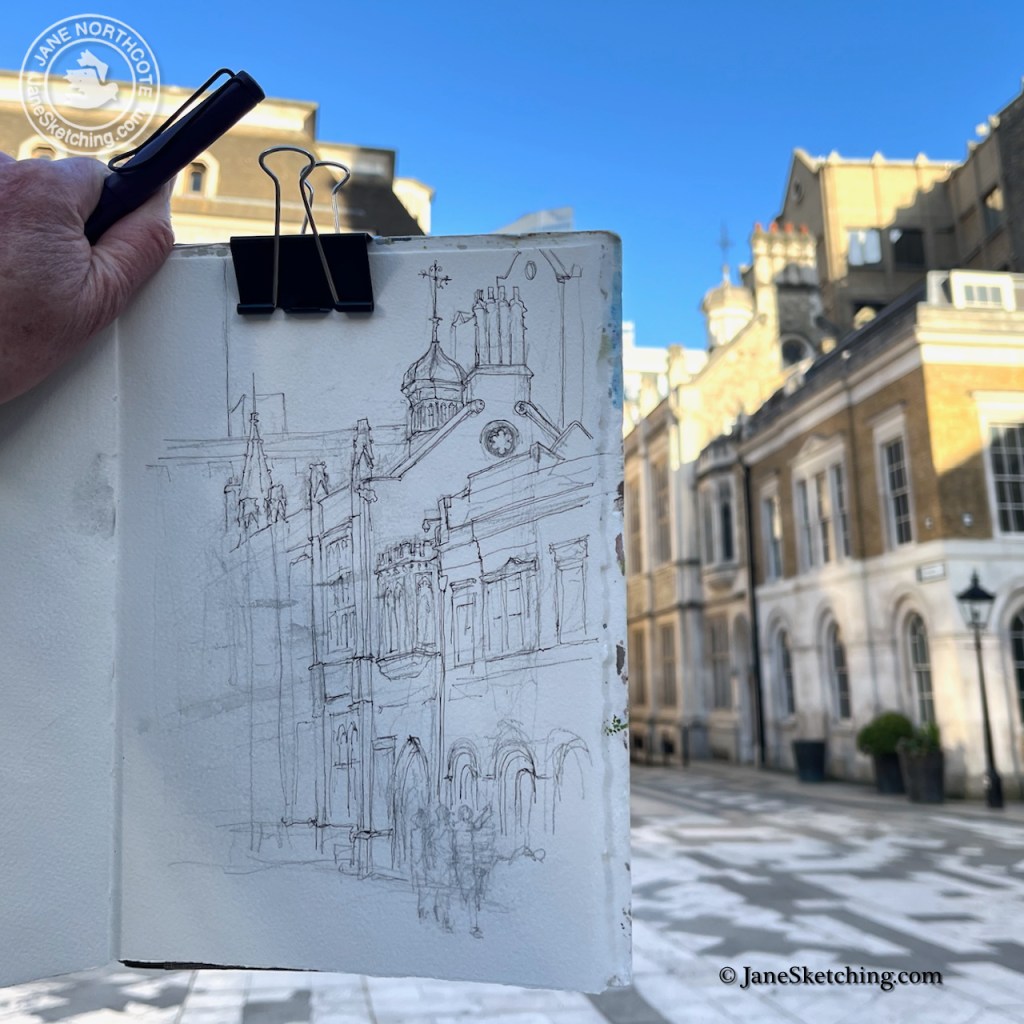
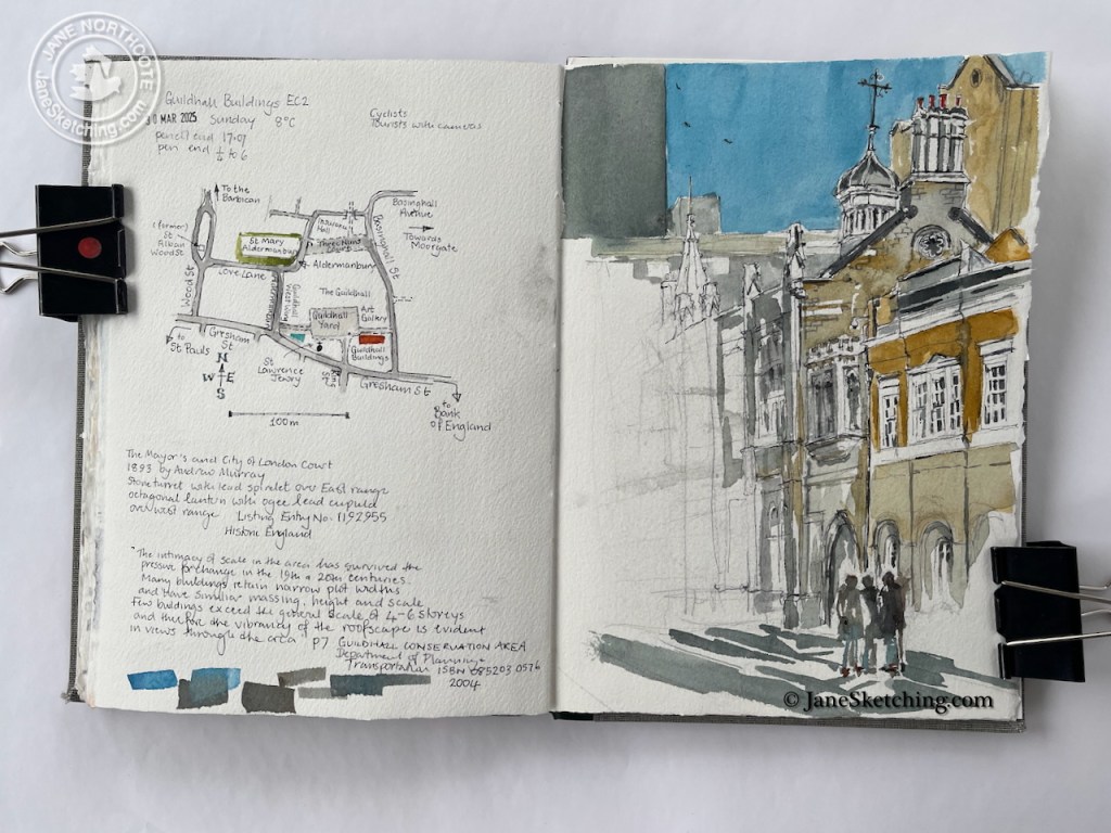
Guildhall Buildings EC2, 30th March 2025 in Sketchbook 15

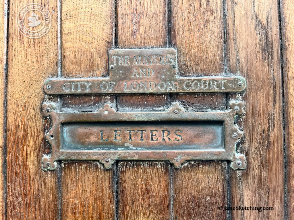
This corner of the Yard includes “The Mayor’s and City of London Court” built in 1893 and still used for its original purpose.

It is Listed Grade II. My drawing shows features mentioned in the listing: “stone turret with lead spirelet over East range, octagonal lantern with ogee lead cupula over west range”. (Listing number 1192955). The “spirelet” is in the back left of the picture, and the “ogee lead cupula” is the curvy tower top behind the chimneys on the right.

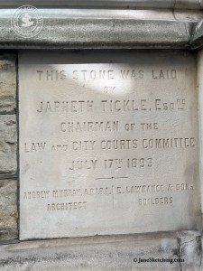
"This stone was laid 
by Japheth Tickle Esq, Chairman of the Law and City Courts Committee,
July 17th 1893.
Andrew Murray ARIBA, Architect.
E. Lawrance and Sons, Builders."

Despite the striking blue sky, it was very cold when I was sketching this: 8 degrees C. But I enjoyed the high-contrast shadows, and the people clustering and dispersing as they moved across the square.

This is a Conservation Area. A detailed study of the area was done by the Design Section, Department of Planning & Transportation, Corporation of London in 2004. It is on this link. If that doesn’t work: the file is here:

They comment:

The intimacy of scale in the area has survived the
pressure for change in the 19th and 20th centuries.
Many buildings retain narrow plot widths and have
similar massing, height and scale. Few buildings
exceed the general scale of 4-6 storeys and therefore
the vibrancy of the roofscape is evident in views
through the area. Whilst some 20th century buildings
combine a number of smaller plot widths, those which
successfully contribute to the conservation area have
elevations that respect the bay structure and rhythm of
earlier buildings….

The narrow streets help
to restrict the volume of traffic travelling through
the area. Gresham Street forms the main through
route but most vehicles travel along Cheapside and
Moorgate which are just outside the boundaries of the
conservation area. The area is therefore relatively quiet
and dominated by pedestrians.

(page 7 Conservation Area Character Summary 2004)

I like their description: “the vibrancy of the roofscape is evident in views
through the area. ” – that’s what I saw and wanted to sketch.

I was interested in their comment on Gresham Street: “relatively quiet
and dominated by pedestrians”. Today, Gresham Street is a very busy street, clogged and congested by delivery vehicles, taxis, and construction traffic. It is no longer “relatively quiet and dominated by pedestrians”. Road traffic dominates, and pedestrians have to stop their conversations and look around carefully to avoid being run over by the motor vehicles, who are equally worried and confused trying to find a way through the parked vans, and e-bikes. “Most vehicles” no longer “travel along Cheapside”, because Bank junction cannot now be traversed by private vehicles in the daytime.

However, calm has been preserved in the Guildhall Yard. The large open space is usually uncluttered. The pond in front of St Lawrence Jewry provides some greenery and repose.

I’ve sketched a lot round here:

Guildhall Yard, London EC2

Here is the North West corner of the Guildhall Yard. The modern part is designed by Richard Gilbert Scott (note 1). What we are looking at, in pale concrete, is the Guildhall Library, and offices of the City of London Corporation. Behind it, you see the tops of the buildings on Wood Street. In yellow stone, on the right of the drawing, is the old Guildhall, built in 1411 (note 2). In the foreground you see…

read this post..

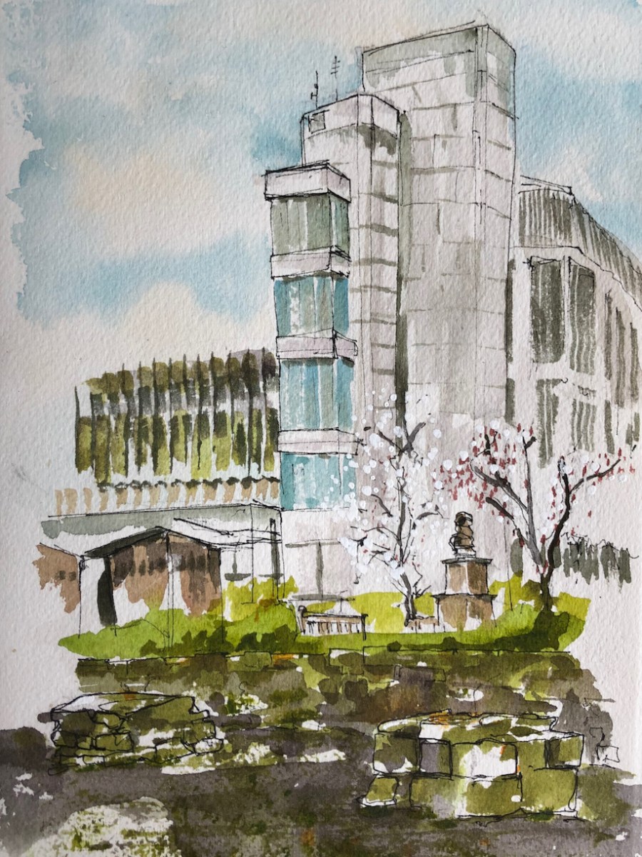
Guildhall North Wing

From the site of the former St Mary Aldermanbury, I looked across towards the Guildhall, the offices of the City of London. It is dark and green in the former Nave of the church, whose pillars you can see on the right. The stones are covered in moss, which is almost phosphorescent. The North Wing of the Guildhall was designed by Giles Gilbert-Scott2 in the 1930s and built in the 1950s. He also designed the red…

read this post..

Guildhall from St Mary Aldermanbury EC2

At the junction of Love Lane and Aldermanbury in the City of London, there is a small park. If you are in the area, it’s well worth a visit. The parklet is on the site of St Mary Aldermanbury. A large marble plaque tells the history. Site of the Church of St Mary Aldermanbury First mentioned in 1181. Destroyed by the Great Fire in 1666. Rebuilt by Wren. Destroyed by bombing in 1940. The remaining fabric…

read this post..

65 Basinghall St EC2 from the plaza

In a previous post I presented a drawing of 65 Basinghall Street done from the bridge which is on the North side of the building. Here is the south side. 65 Basinghall Street is the building in front, with the scalloped arches. Behind it is City Place House. City Place House was built in 1992, and is due for demolition and replacement by a building which is taller and broader. 65 Basinghall Street is listed Grade…

read this post..

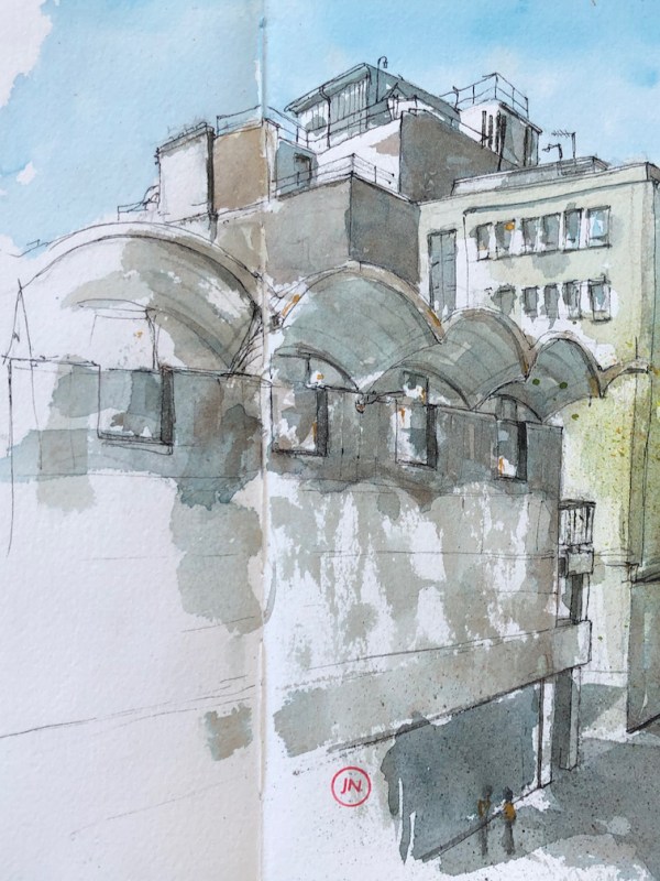
65 Basinghall St EC2 from the bridge

This is a view from the bridge over Basinghall Street, looking at the back of 65 Basinghall Street. There is much of interest in this view. There are the wonderful arching shell-like structures of 65 Basinghall Street. This was built in 1966-7 to the designs of Richard Gilbert Scott1 Above the arches is an extraordinary building in the style of steam punk. In my drawing it was not possible to capture the magnificent complexity of all…

read this post..

Gaslight in Guildhall Yard

The winter evening settles down With smell of steaks in passageways. Six o’clock. The burnt-out ends of smoky days. And now a gusty shower wraps The grimy scraps Of withered leaves about your feet And newspapers from vacant lots; The showers beat On broken blinds and chimney-pots, And at the corner of the street A lonely cab-horse steams and stamps. And then the lighting of the lamps. T.S. Eliot – Preludes There are still quite a…

read this post..

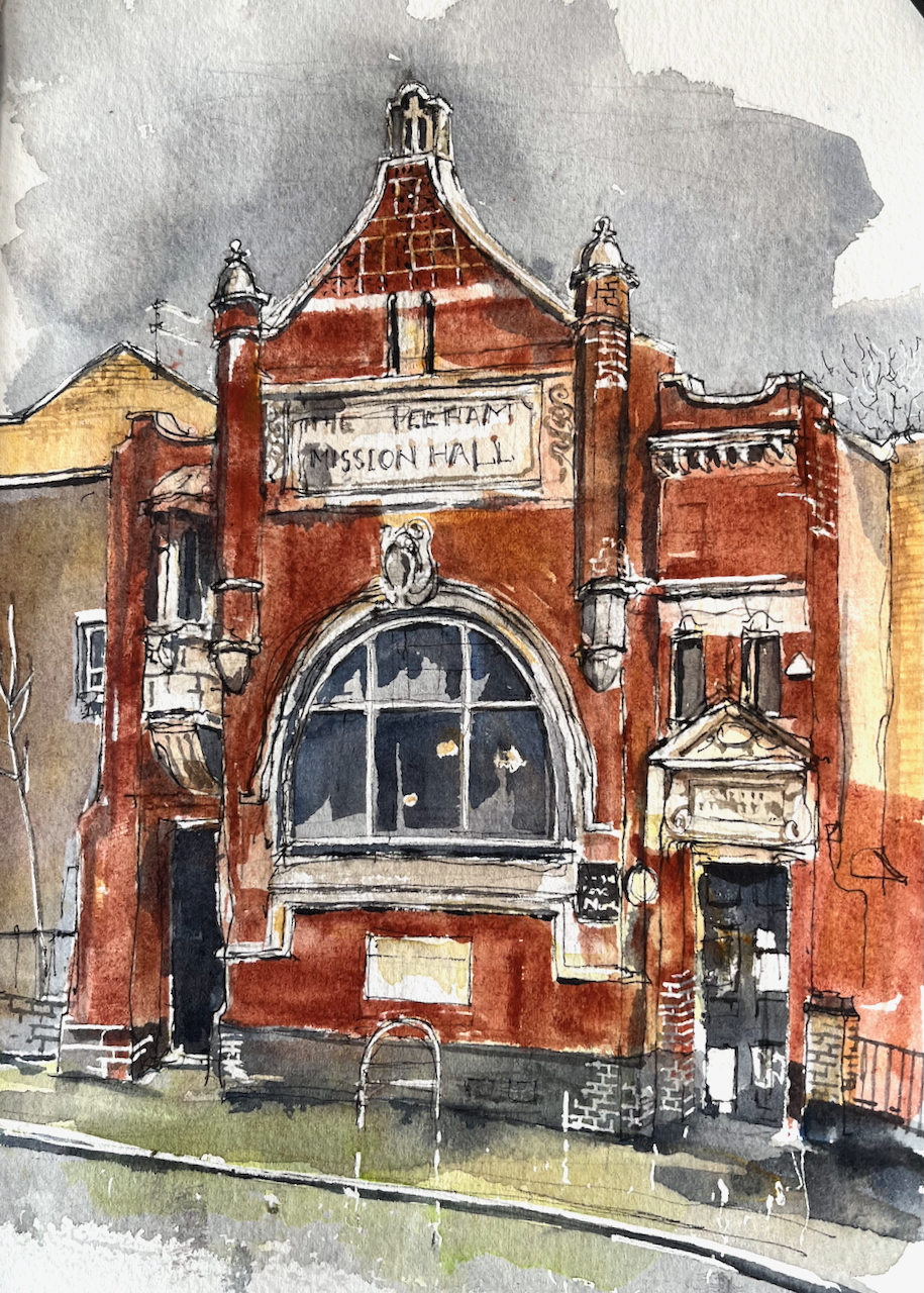
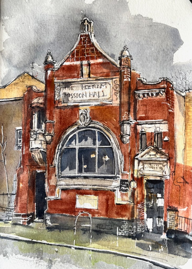
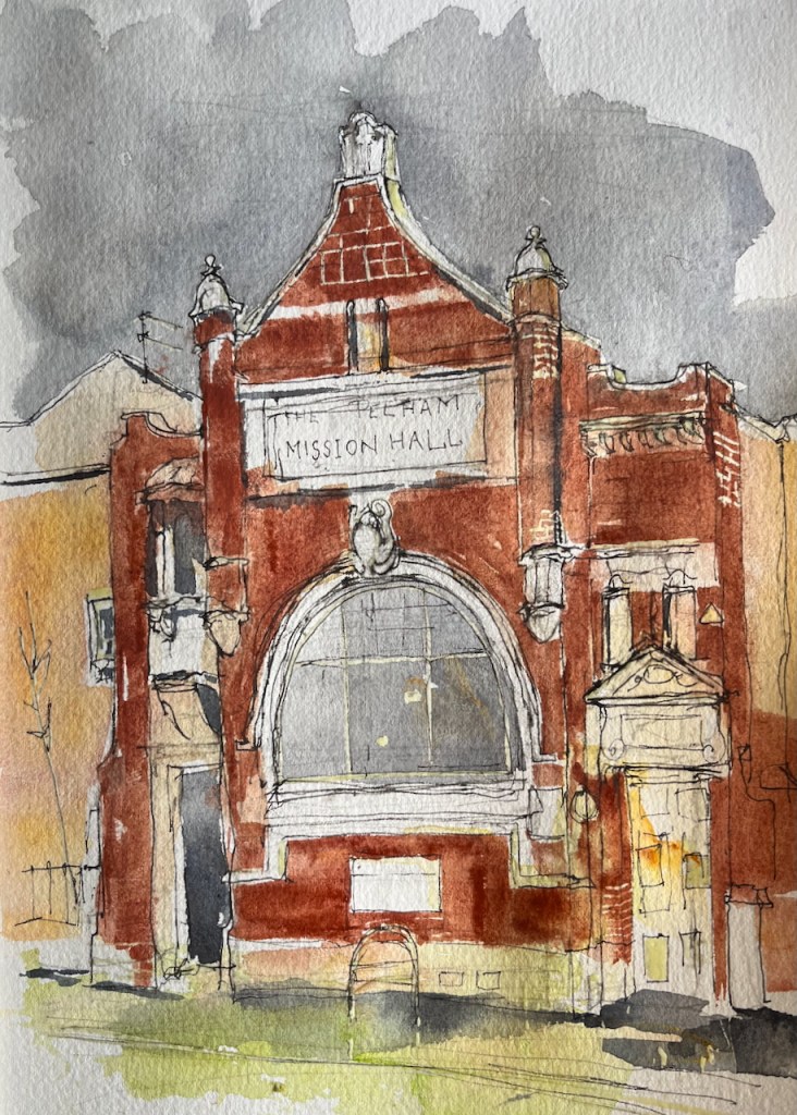
Pelham Mission Hall, Lambeth SE11

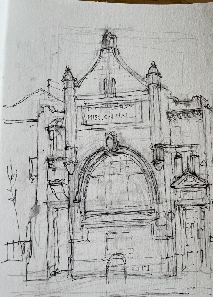
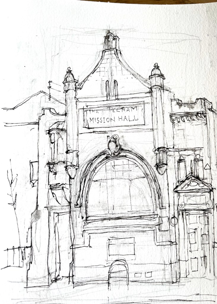
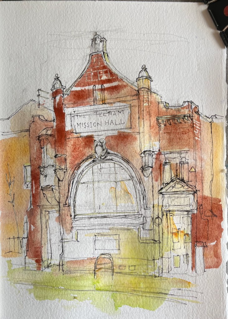
This ornate building stands out amongst the plain and functional housing along Lambeth Walk. I walked past it on my way to the Vauxhall Tea House.

Pelham Mission Hall, Lambeth Walk, Lambeth SE11. in Sketchbook 15, 26 Feb 2025
Canopy

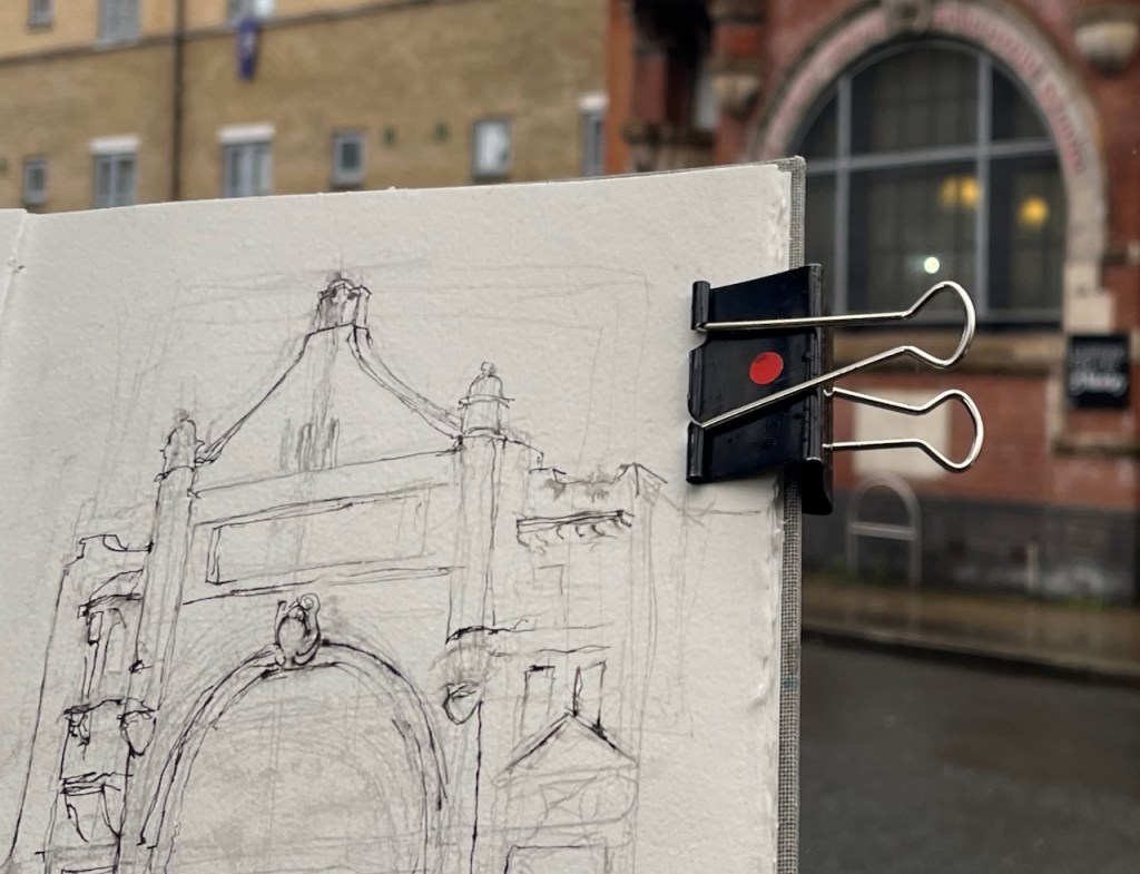
Rain threatened, but I started the sketch anyway. I was sheltering underneath a sort of canopy on the opposite side of the road. This canopy had the significant disadvantage that it was perforated with a pattern of decorative holes.

I sketch using a pen which has waterproof ink. The ink is waterproof once it has dried. But if I try sketching when the paper is wet, the ink runs. I continued until the pen protested that it couldn’t make marks under these conditions.

The paper I use is Arches Aquarelle. It is “heavily sized”, which means it throws off the water, at least at first. But after sustained drizzle, it starts to become absorbent.

All these things started to happen. The paper became spongy. The pen spluttered. Rain sneaked through the perforated canopy and dripped down the inside of my coat. Water slid off the leaves into my bag. I tried to wrap the sketchbook up and I crammed it into my backpack. I have a waterproof backpack. It was already wet on the outside. Now it was becoming wet on the inside. I stood in the rain and considered. I breathed using a yoga technique. Yoga breathing techniques are quite effective in the rain. There was a rhythm to the drips.

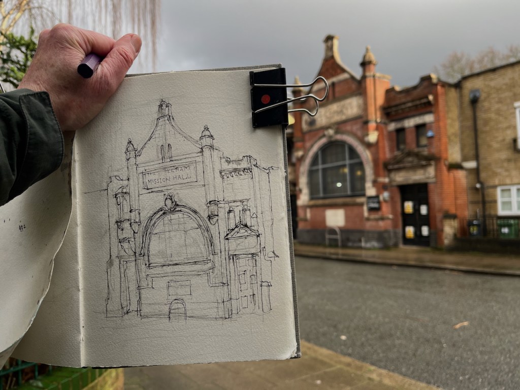
Then the rhythm slowed. Perhaps I could just do a bit more drawing? Slowly, I extracted and unwrapped my book. I flicked the pen to get the ink to flow again. I made each pen stroke count.

The rain eased enough.

This was as far as I got.

Then I went to the Vauxhall Tea House to warm up.

I finished the drawing of Pelham Mission Hall later at my desk.

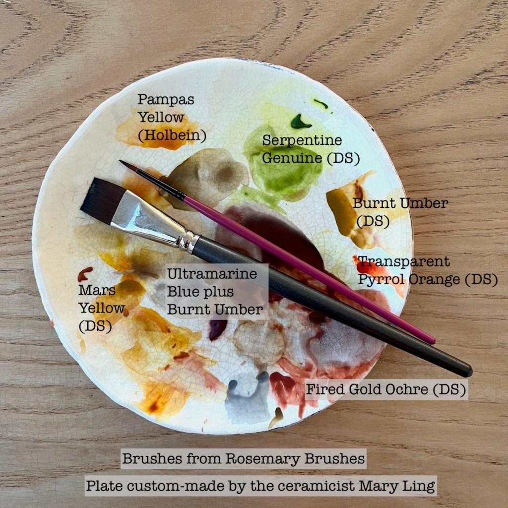
Here are the colours I used:


Pelham Mission Hall was completed in 1910.
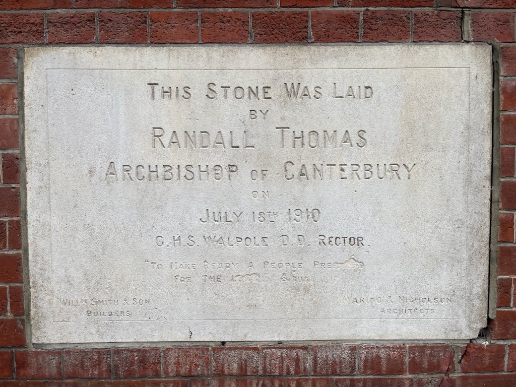
The text on the big stone slab under the window tells me this.
Foundation stone: This stone was laid by Randall Thomas, Archbishop of Canterbury, on July 18th 1910. G.H.S. Walpole D. D. Rector. “To make ready a people for the Lord” Luke 1.17
Waring and Nicholson architects. William Smith and Son Builders.
Buildings often have a foundation stone. Usually they just say who, and when. This one also says why. Its mission, as stated on the stone, was “To make ready a people for the Lord”. This is a line from a verse in St Luke’s gospel in the Christian Bible. The context is this:

And he shall go before him in the spirit and power of Elias, to turn the hearts of the fathers to the children, and the disobedient to the wisdom of the just; to make ready a people prepared for the Lord.

Luke 1.17. King James version1

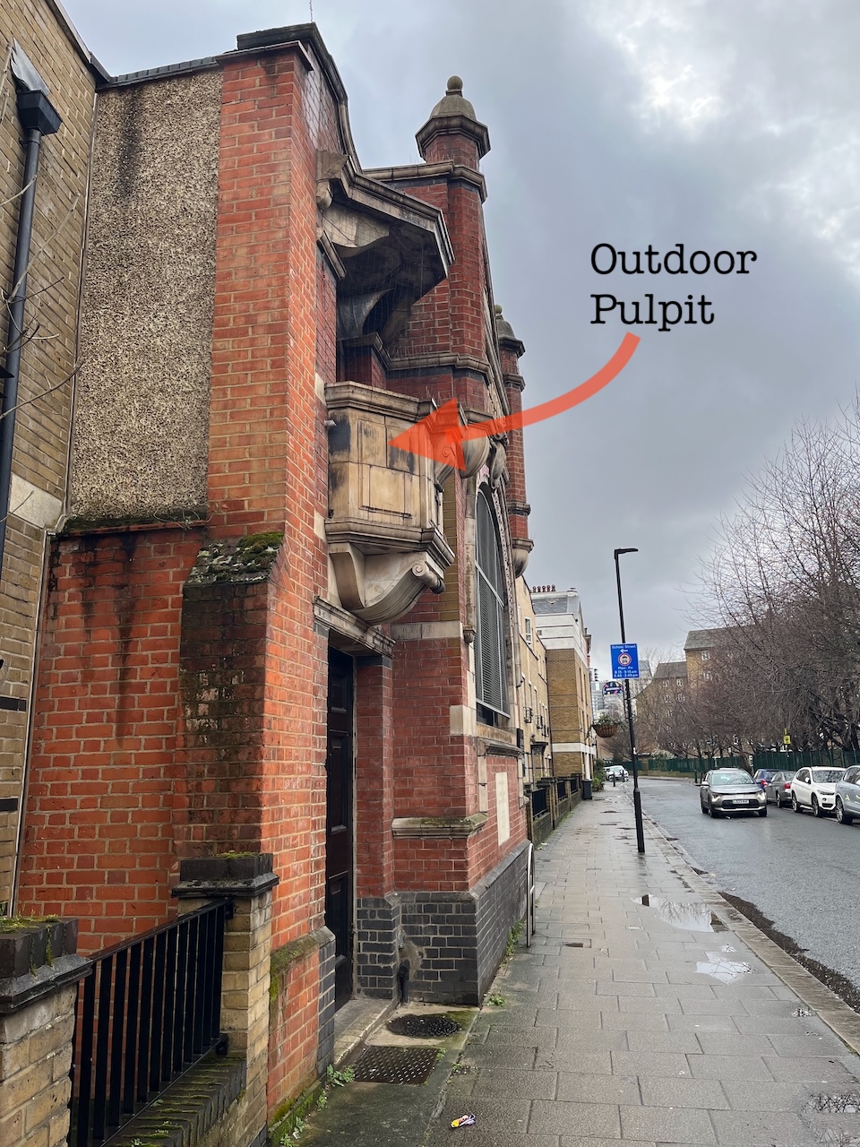
This building was created as an urban missionary post. There was a street market along Lambeth Walk at the time, and up to the 1960s. 2 I imagine the missionaries preaching from their outdoor pulpit to the street traders and their customers. It must have been hard for the preacher to make themselves heard.

The Hall is named for Francis G. Pelham 1844-1905, 5th Earl of Chichester, educated Eton and Cambridge, who was rector of Lambeth 1884-1894. 4

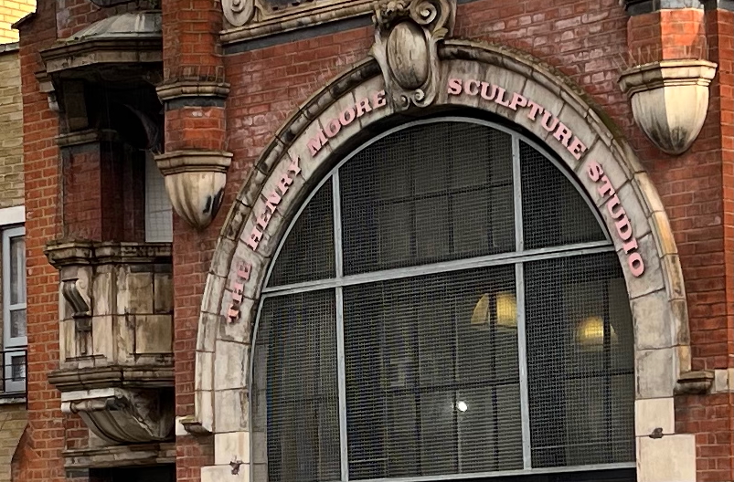
The building is now the “Henry Moore Sculpture Studio at Pelham Hall” part of Morley College. The sculptor Henry Moore donated a small sculpture to Morley College in 1977, which was sold at auction and helped to raise money for the lease of Pelham Hall. In return, the College named the sculpture studio after him, as written on the front of the building5.

Pelham Mission Hall, now The Henry Moore Sculpture Studio. The outdoor pulpit is on the left.

A ventilation pipe from the sculpture studio now exhausts through the outdoor pulpit.

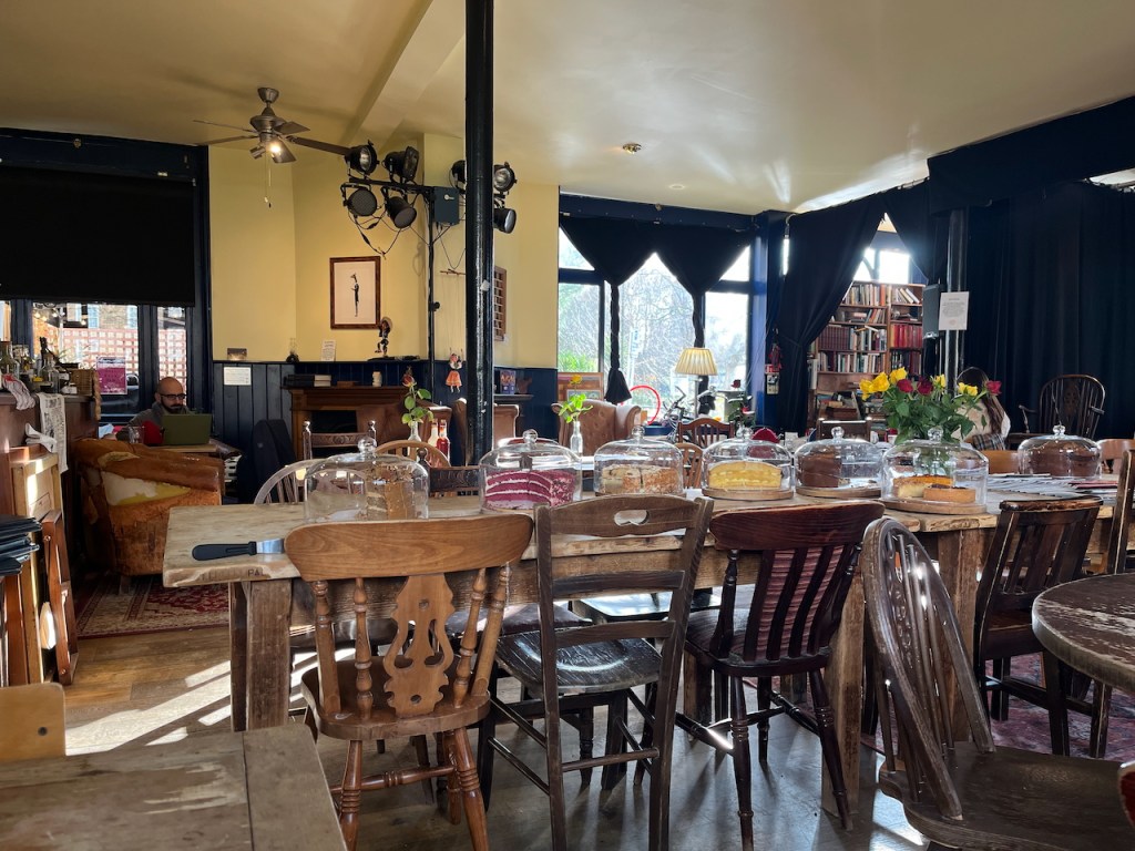
While I was in the Vauxhall Tea House, the sun came out. It was calm in there. A few moments of paradise.


  1. I find the King James’ version here a little ambiguous here in the pronouns. Who is the “he”, who is the “him”? A modern translation: ‘John will prepare the people for the Lord to come to them. The Holy Spirit will lead John as he led Elijah. John will do powerful things as Elijah did. He will help fathers to love their children. He will teach people who do not obey God. Then they will know what things are right. And they will do them. Then they will be ready when the Lord comes.’.
    Translation: “The Easy Bible”. Thank you to http://www.biblegateway.com for sorting that out. ↩︎
  2. https://vauxhallhistory.org/lambeth-walk-street-market/ ↩︎
  3. This wonderful photo is from the local history site : http://partletontree.com/LambethWalk.htm ↩︎
  4. The link to Francis G. Pelham is given in the caption to a London Picture Archive photo. See this link: https://www.londonpicturearchive.org.uk/view-item?i=92169&WINID=1742396935298
    ↩︎
  5. The information about the Henry Moore donation is from the Morley College website on this link: https://www.morleygallery.com/sculpture ↩︎

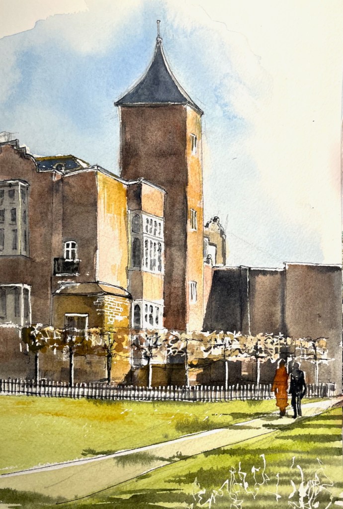
Holland House, Kensington, London W11

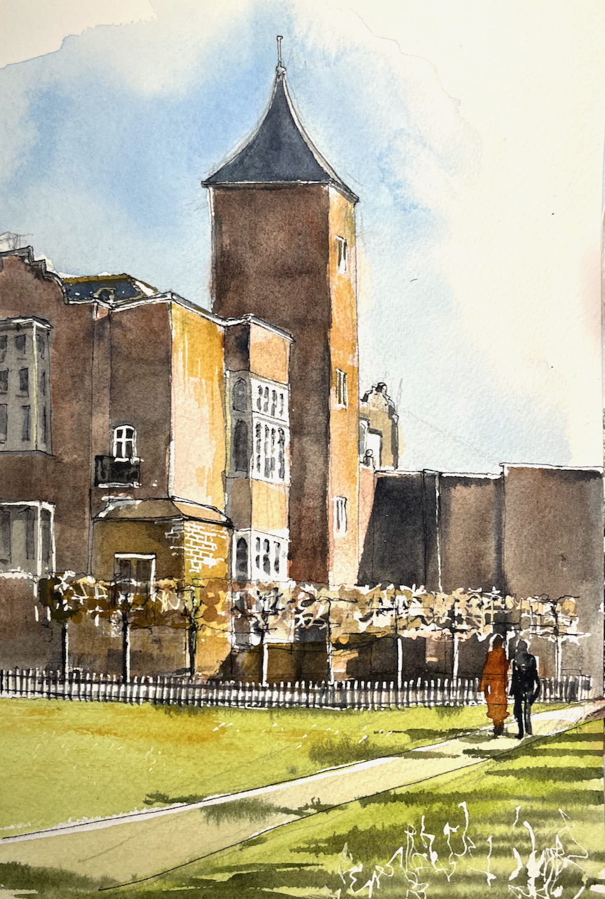
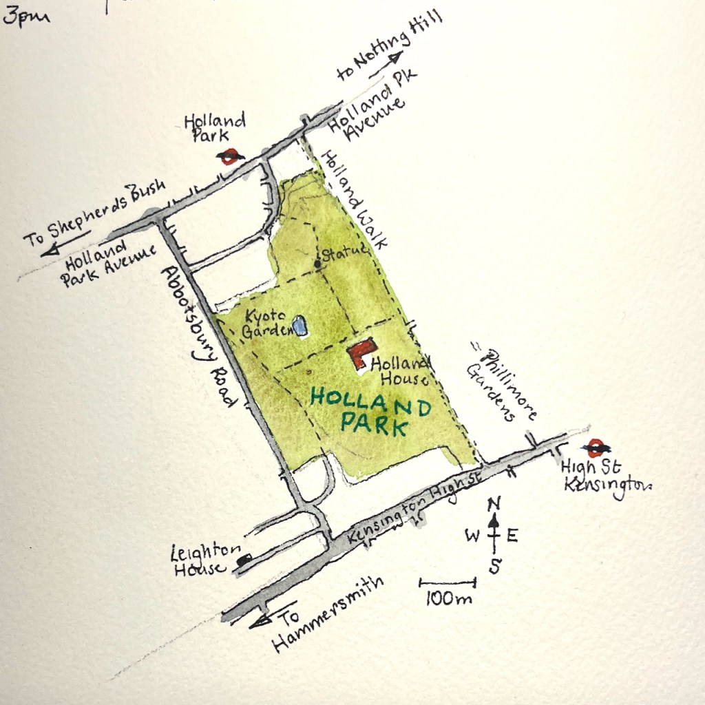
On a freezing day in March, I sketched Holland House.

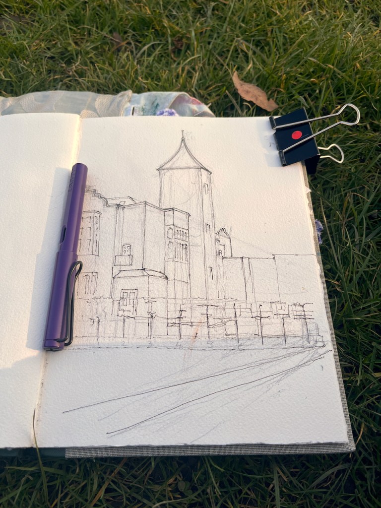
The view from the bench wasn’t quite right, so I moved to the grass. The shadows crept after me across the lawn.

The house was built in 1605-7. It originally had two turrets and was much larger than it is now.

It was damaged by aerial bombardment in 194o.

During the night of 27 September, Holland House was hit by twenty-two incendiary bombs during a ten-hour raid. The house was largely destroyed, with only the east wing, and, miraculously, almost all of the library remaining undamaged.

Historic England archive (<- click this link to see a photo)

My sketch shows the surviving East wing with its turret. In the 1950s the damaged part was demolished, and the remainder converted to a youth hostel and open-air theatre.

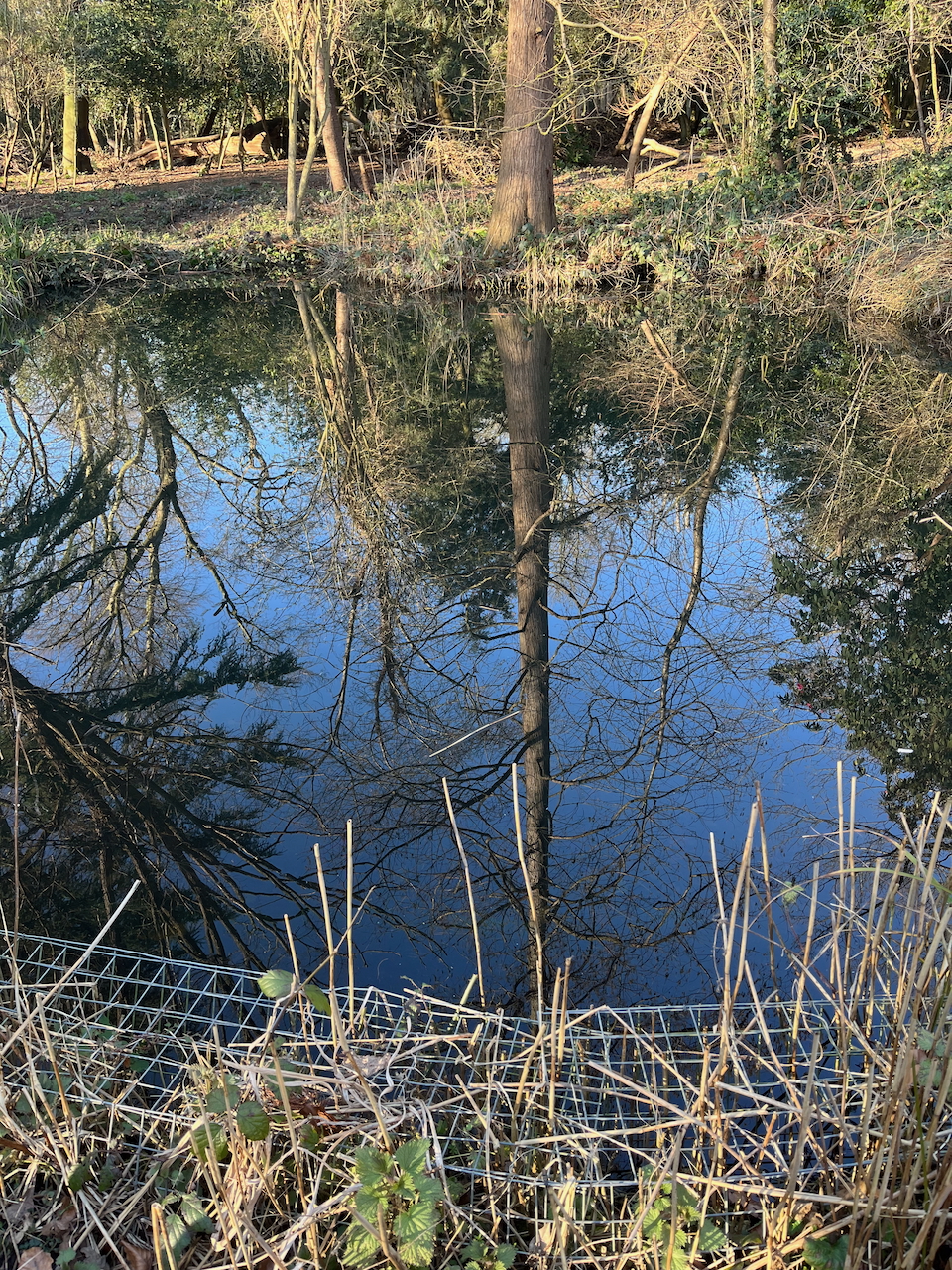
On the way back to the tube station I paused at a still pond.