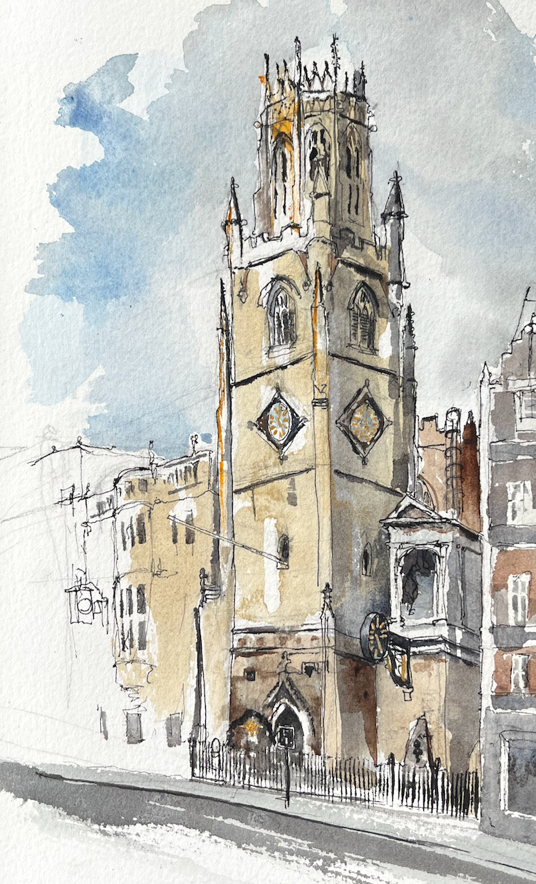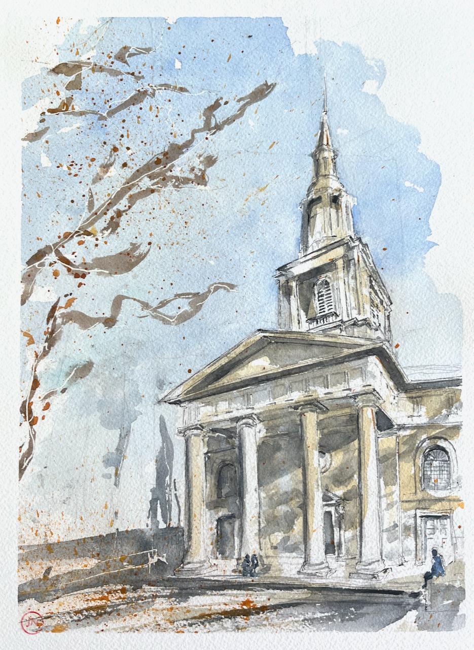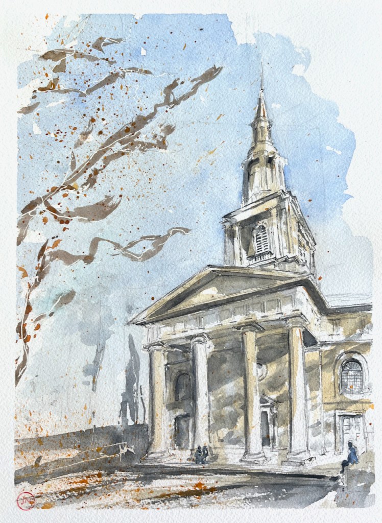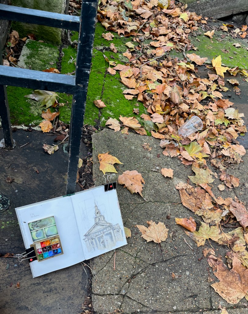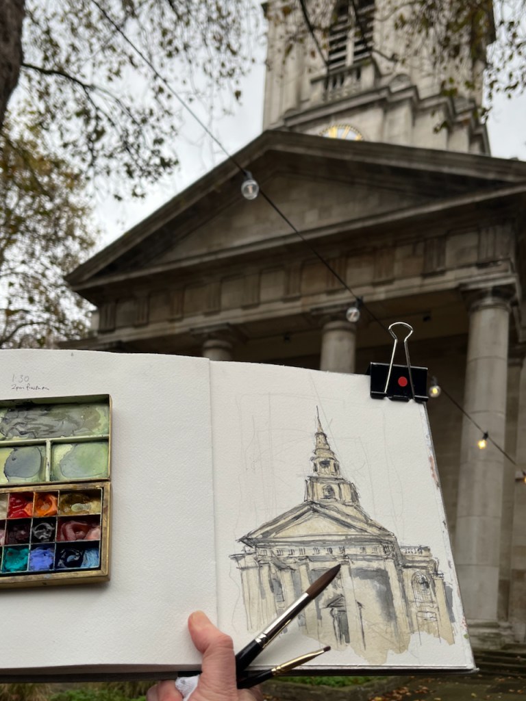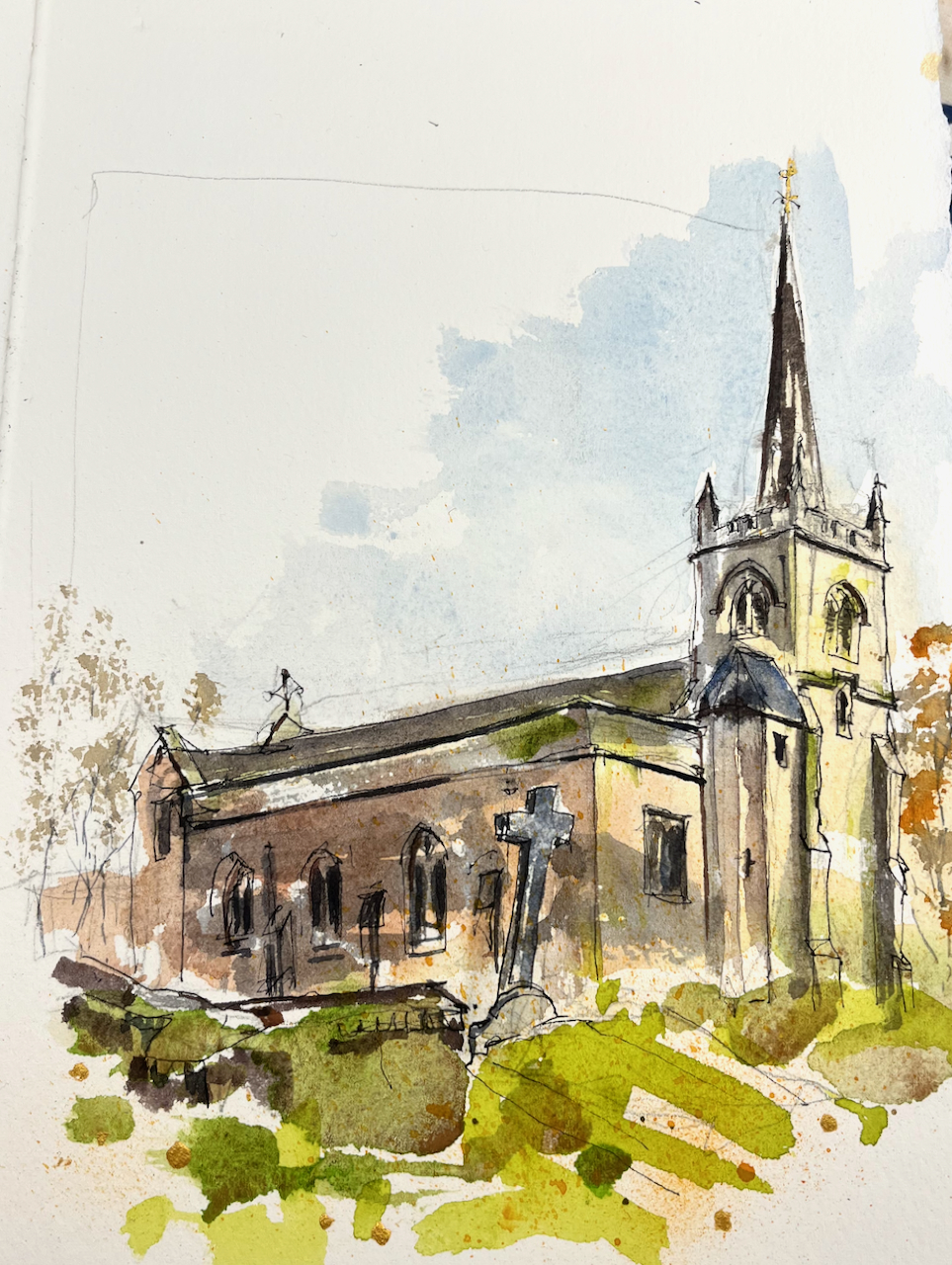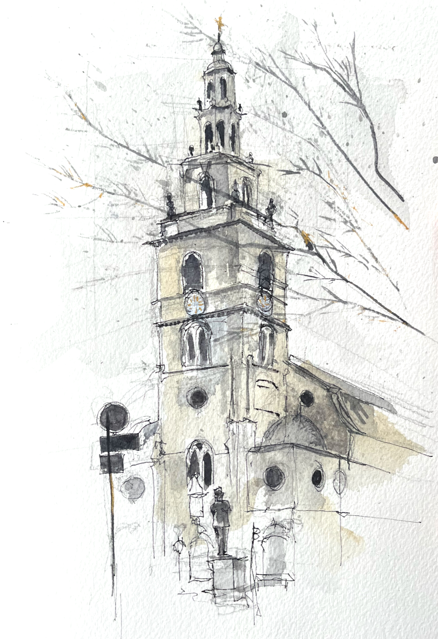
St Clement Danes stands on a traffic island in the Strand.

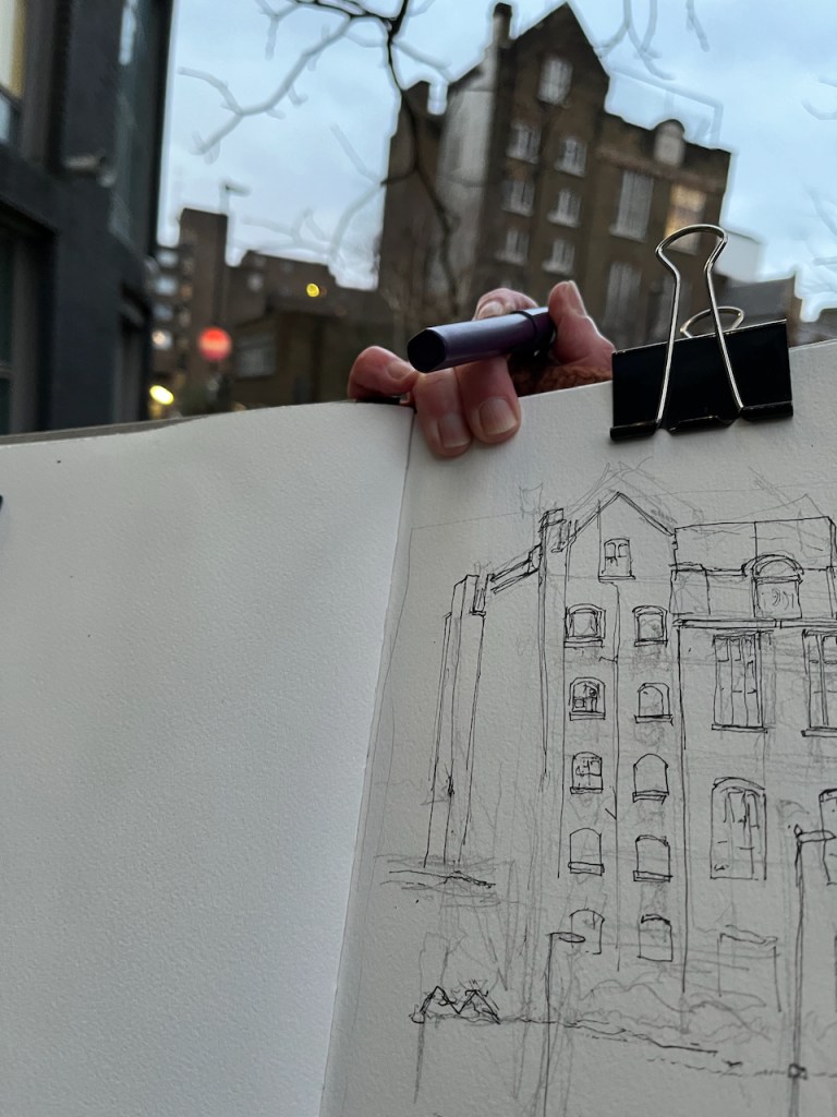
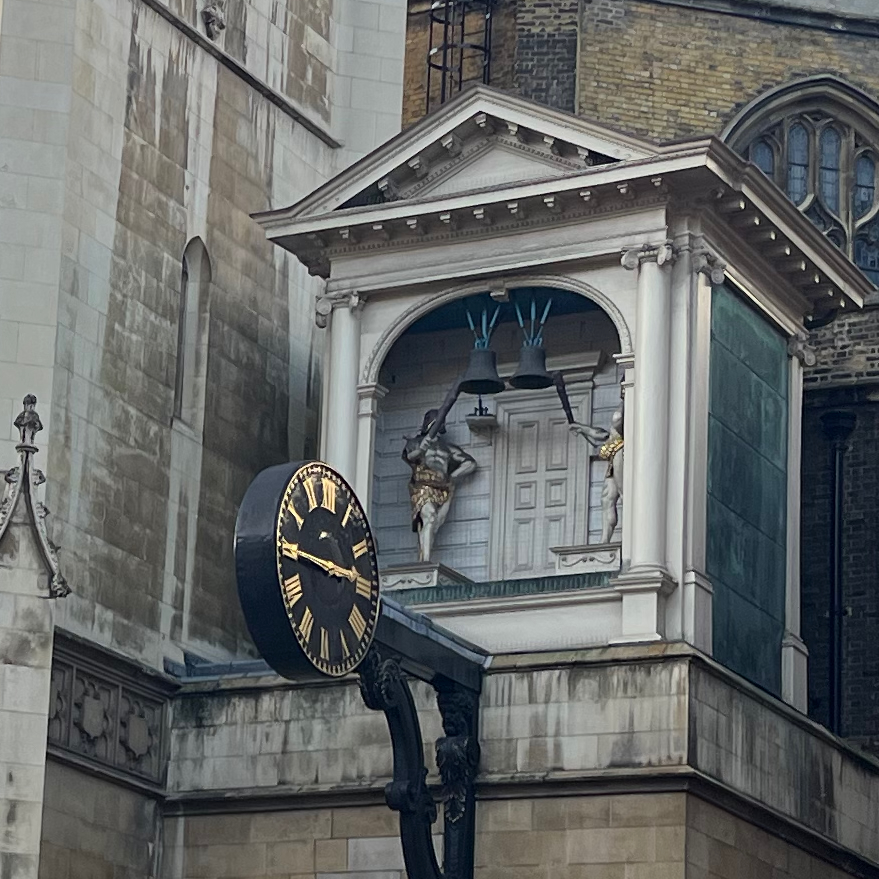
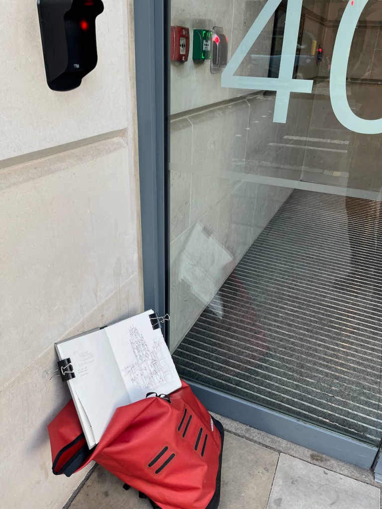
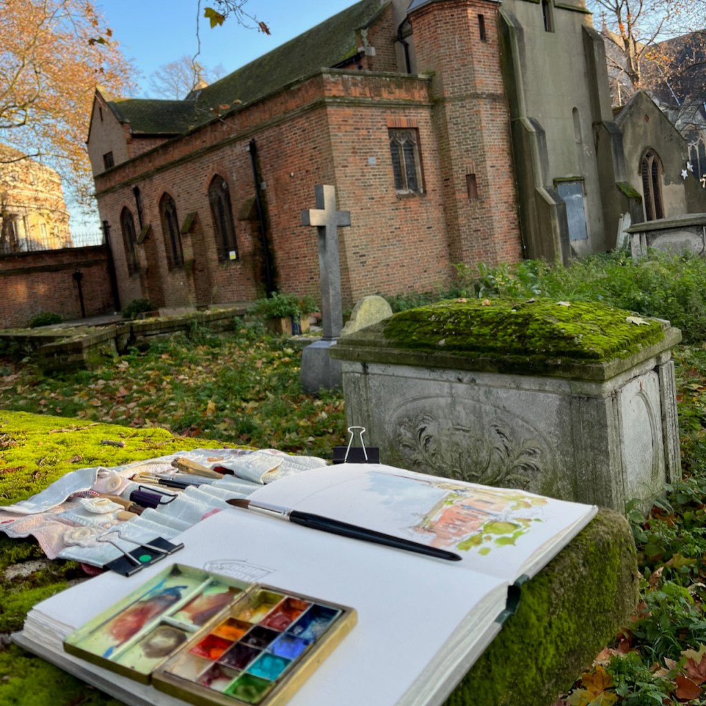
I sketched this church over a lunchtime. At 1pm its bells played its tune, “Oranges and Lemons“, a little haphazardly, but quite distinct.


Why St Clement Danes? What’s Danish about it? According to the church leaflet, in the 9th century, “Danish settlers who had married English wives were allowed to settle in the area taking over a small church dedicated to St Clement. The Church came to be known as ‘St-Clement-of-the-Danes'”.
A rather more brutal story is told by the Viking Ship museum of Roskilde in Denmark:
“By the 9th century London was yet again a powerful and wealthy town attracting the attention of the Danish Vikings. They attacked London in AD 842, and again in AD 851, and The Great Army spent the winter in the town in AD 871-72.”
“Cnut became King of England and in AD 1018 he was able to send his army back to Denmark. He burdened the English population with the tax thingild to pay for the maintenance of a small army. He also placed his Danish garrisons around London, including by the church St. Clemens Danes. Generally, Cnut was a popular king, and during his reign peace prevailed in England. Cnut died in AD 1035 and one of his sons, Harold Harefoot, took over the English throne.
On his death Harefoot he was buried in Westminster Church, but his brother Harthacnut ordered the body to be dug up and thrown into the Thames. Perhaps Harold Harefoot was re-buried in St. Clemens Danes outside the town wall. The peace in England was over.”
The “Science Nordic” site offers lively descriptions of the Danish people that arrived in England in the 9th and 10th centuries. Today we might describe them as “economic migrants”
“In eastern England the Vikings discovered a milder climate and a rich agricultural landscape, similar to the one they knew back home. Faced with a lack of good farming land in Denmark, many families decided to try their luck on the other side of the North Sea.”
– Dr Jane Kershaw, Archaeologist and Viking researcher
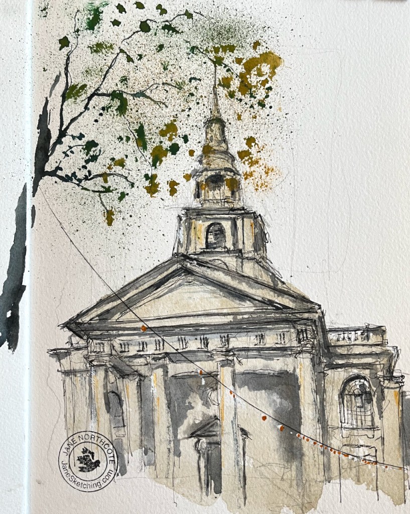
St Clements no longer has any particular Danish connection. It is linked to the Royal Air Force. The statue outside, in the bottom centre of my sketch, is
“Air Chief Marshall Lord Downing, Baron of Bentley Priory, Fighter Command 1936-40”
according to the inscription on his plinth. The Danish church in London is St Katherines, to the East of Regents Park.
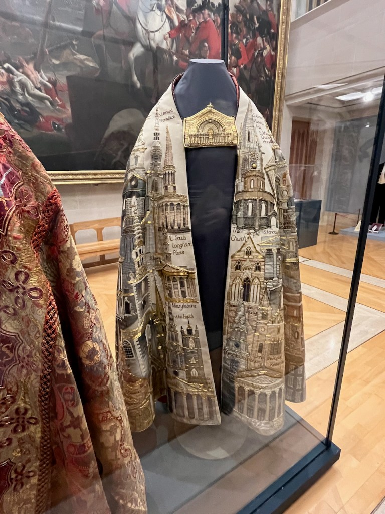
Here is the song the bells played, with links to my drawings of the churches:
Oranges and lemons,
Say the bells of St. Clement’s. (St Clement Danes)
You owe me five farthings,
Say the bells of St. Martin’s. (St Martin in the Fields)
When will you pay me?
Say the bells at Old Bailey. (St Sepulchre-without-Newgate)
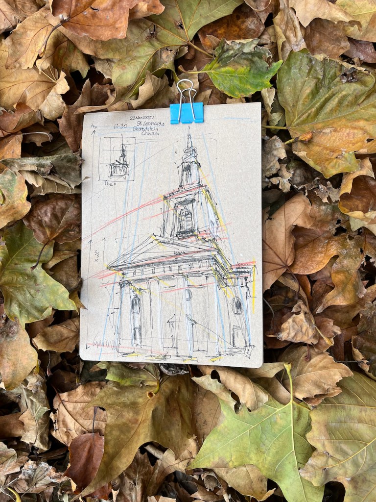
When I grow rich,
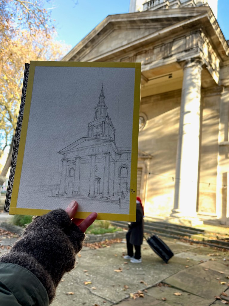
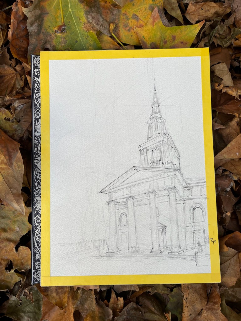
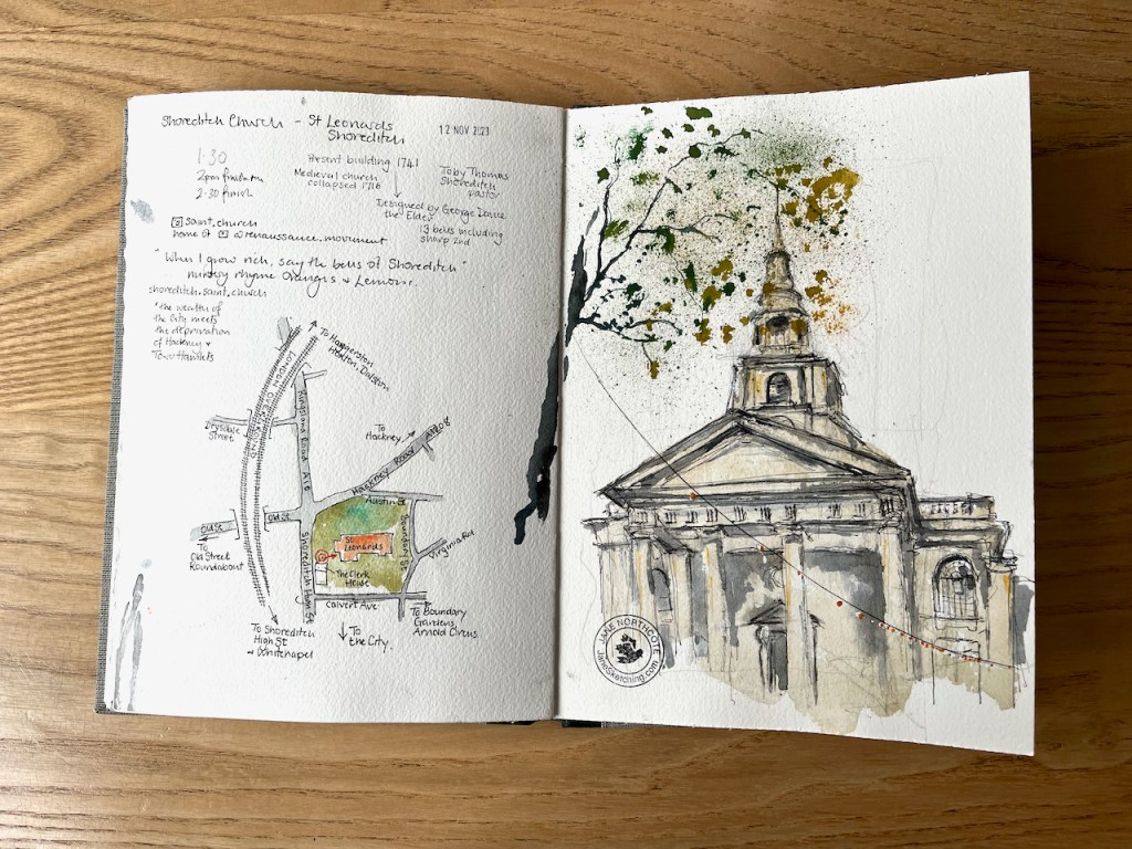
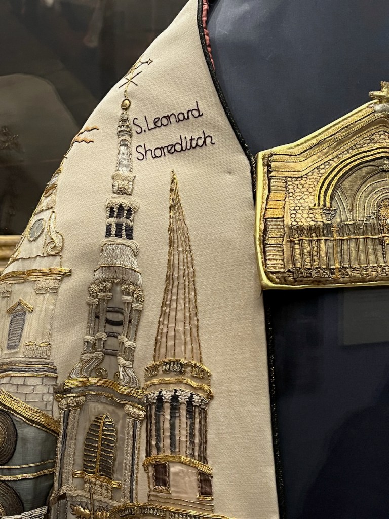
Say the bells at Shoreditch. (St Leonard Shoreditch)
When will that be?
Say the bells of Stepney.(St Dunstan’s Stepney)
I do not know,
Says the great bell at Bow. (St Mary Le Bow)
Here comes a candle to light you to bed,
And here comes a chopper to chop off your head!