
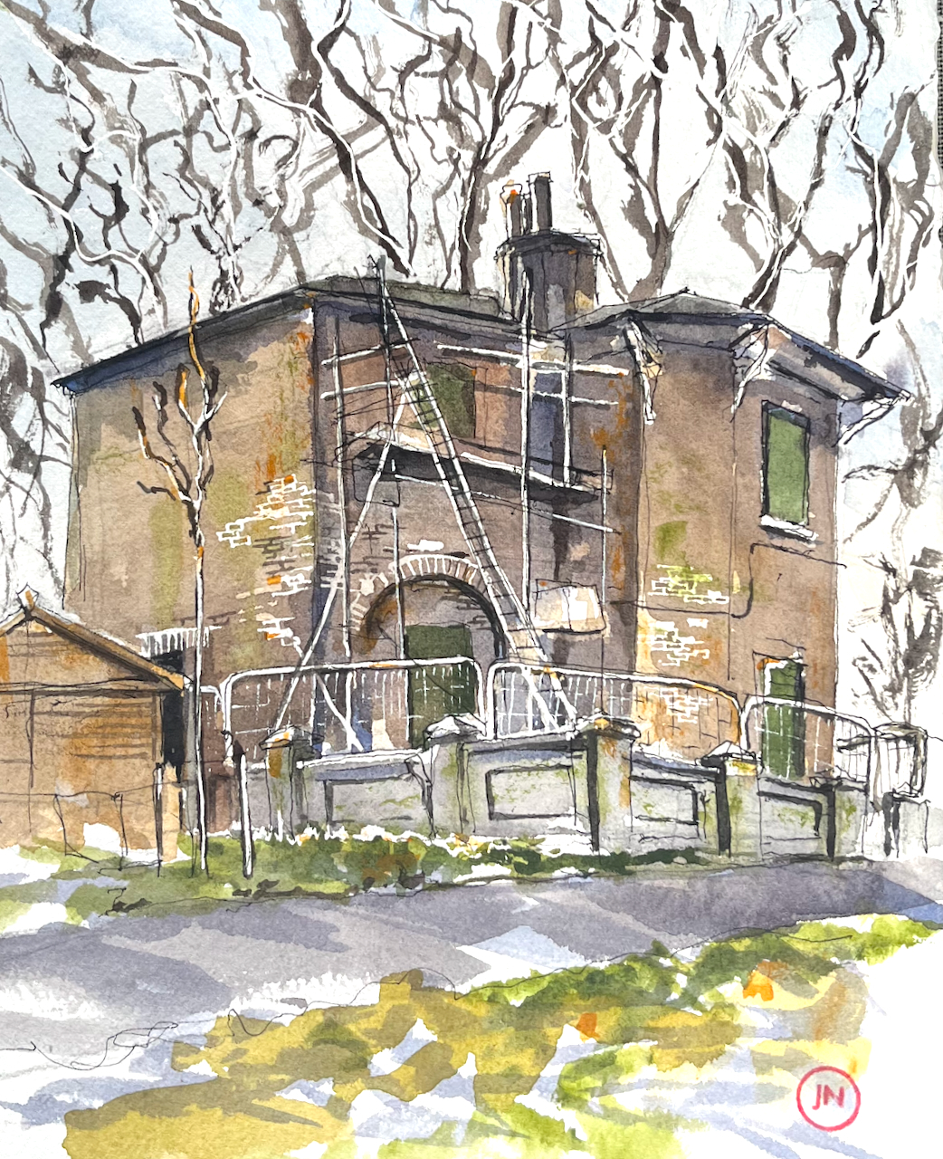
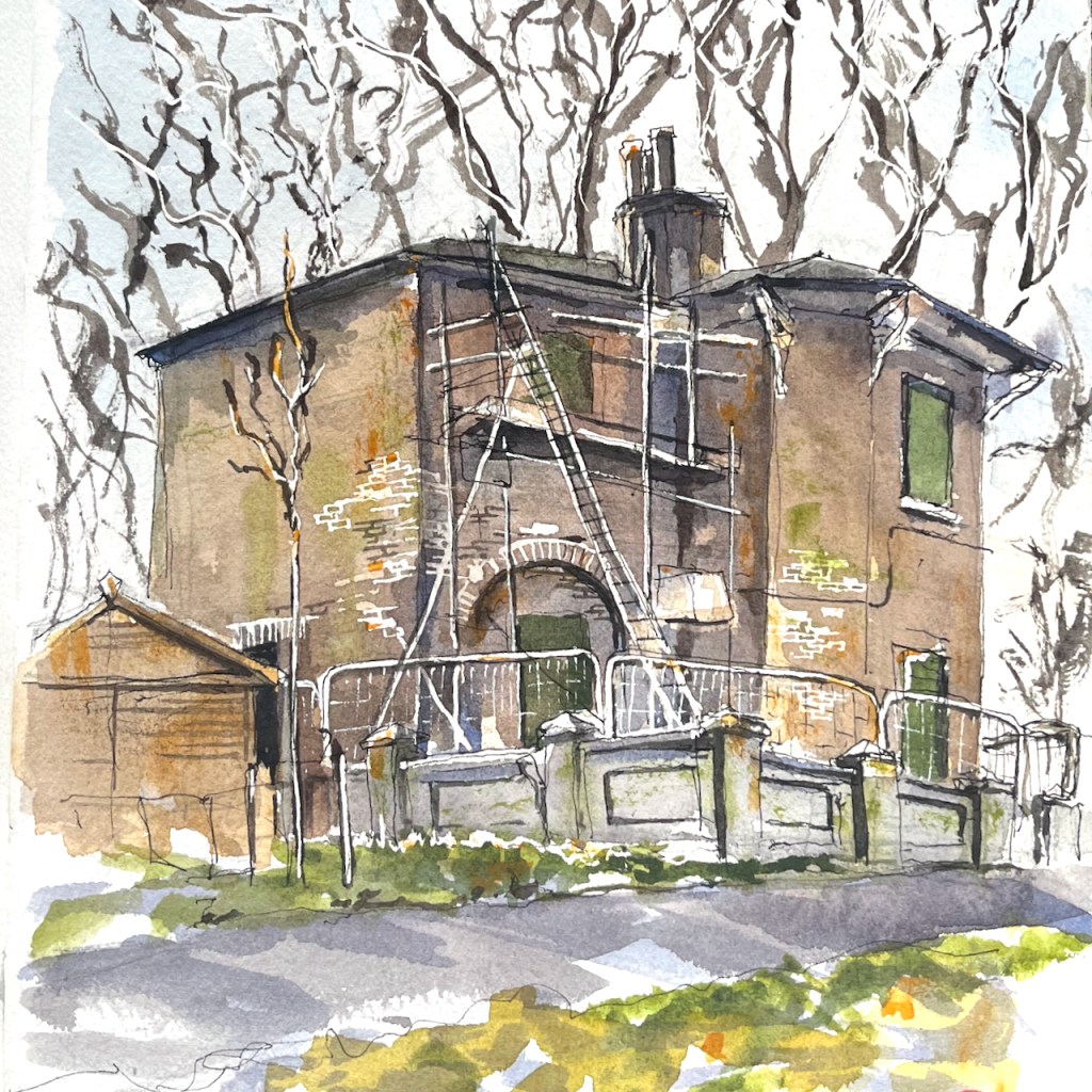
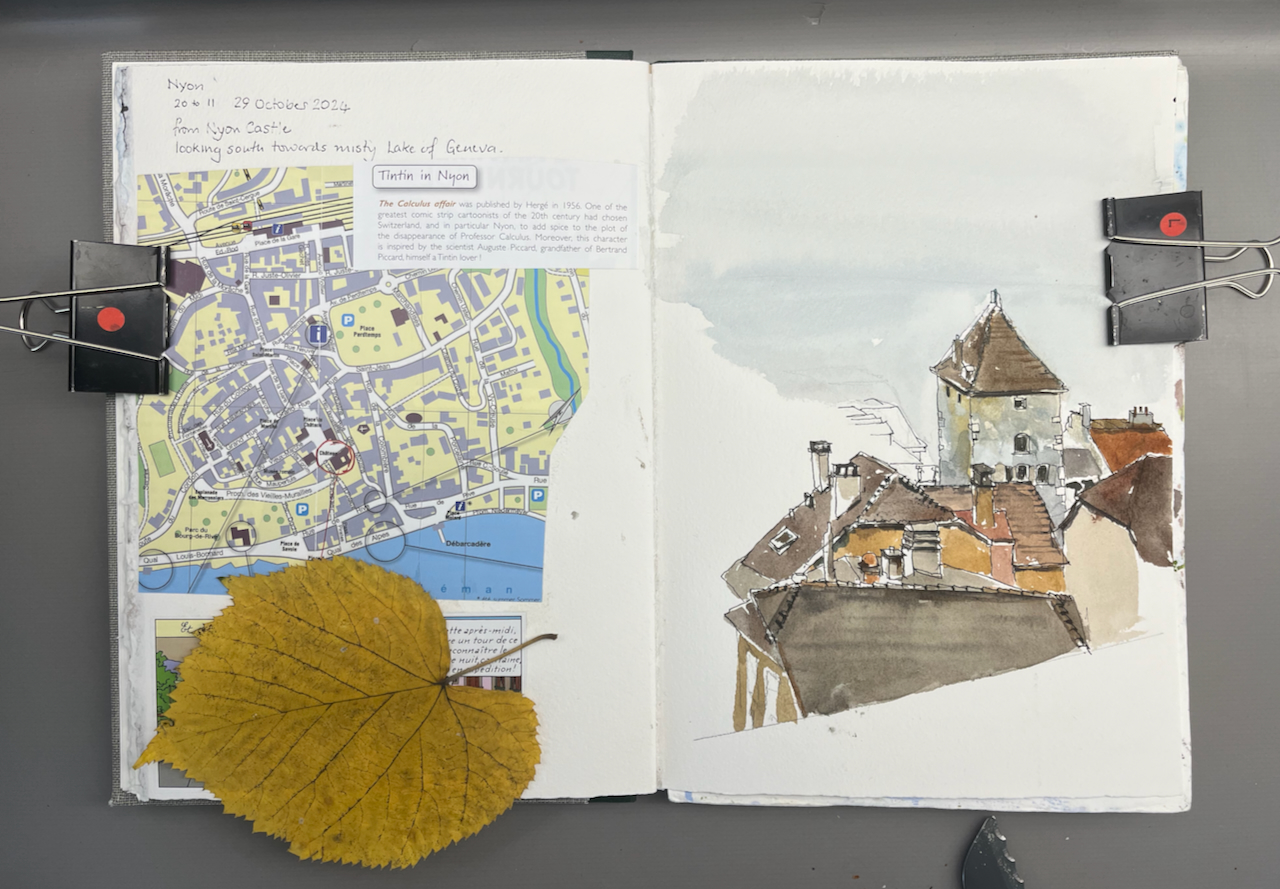
A house stands by Jesus Lock on the River Cam. I have walked by it so many times, over decades, that it holds a magical place in my mind. In the dimness of a childhood memory, I am looking over the wall. I remember flowers in the window boxes, a garden. Then somehow it became ignored, scruffy, derelict, vandalised. Then nothing happened, and it just stood there. Each time I saw it, it was slightly more dilapidated. But it remained in my memory, a beautiful house, in a lovely location. Surely someone will do something with it?
And last time I visited Cambridge, I found that, miraculously, yes!, someone is renovating it.
You can see the progress of their work on their instagram site @uglyduckling_reno
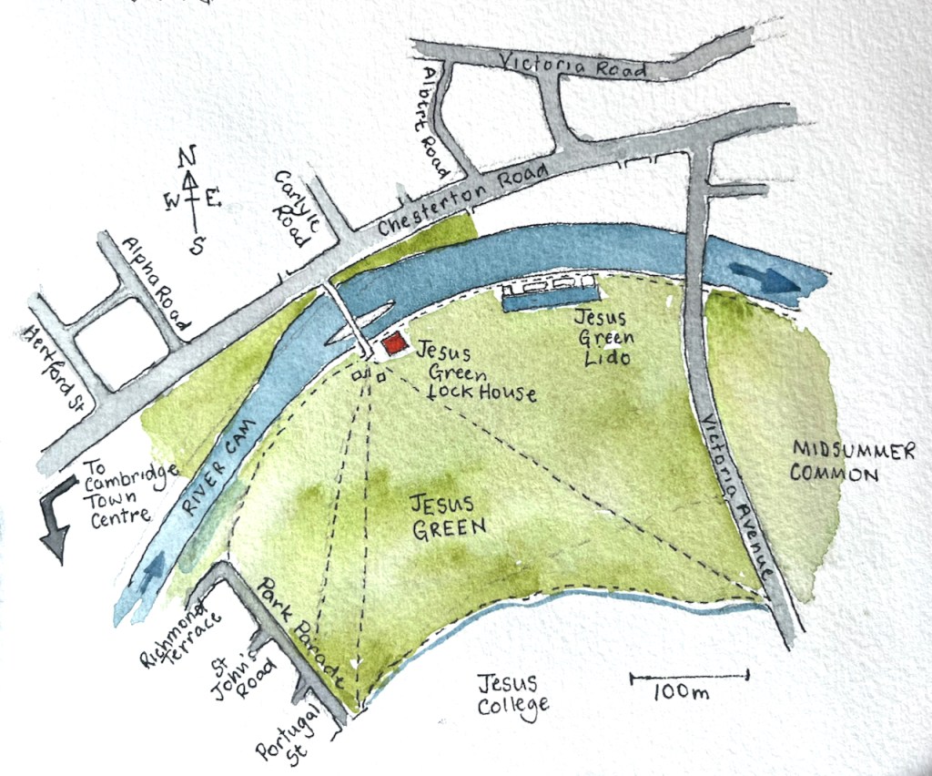
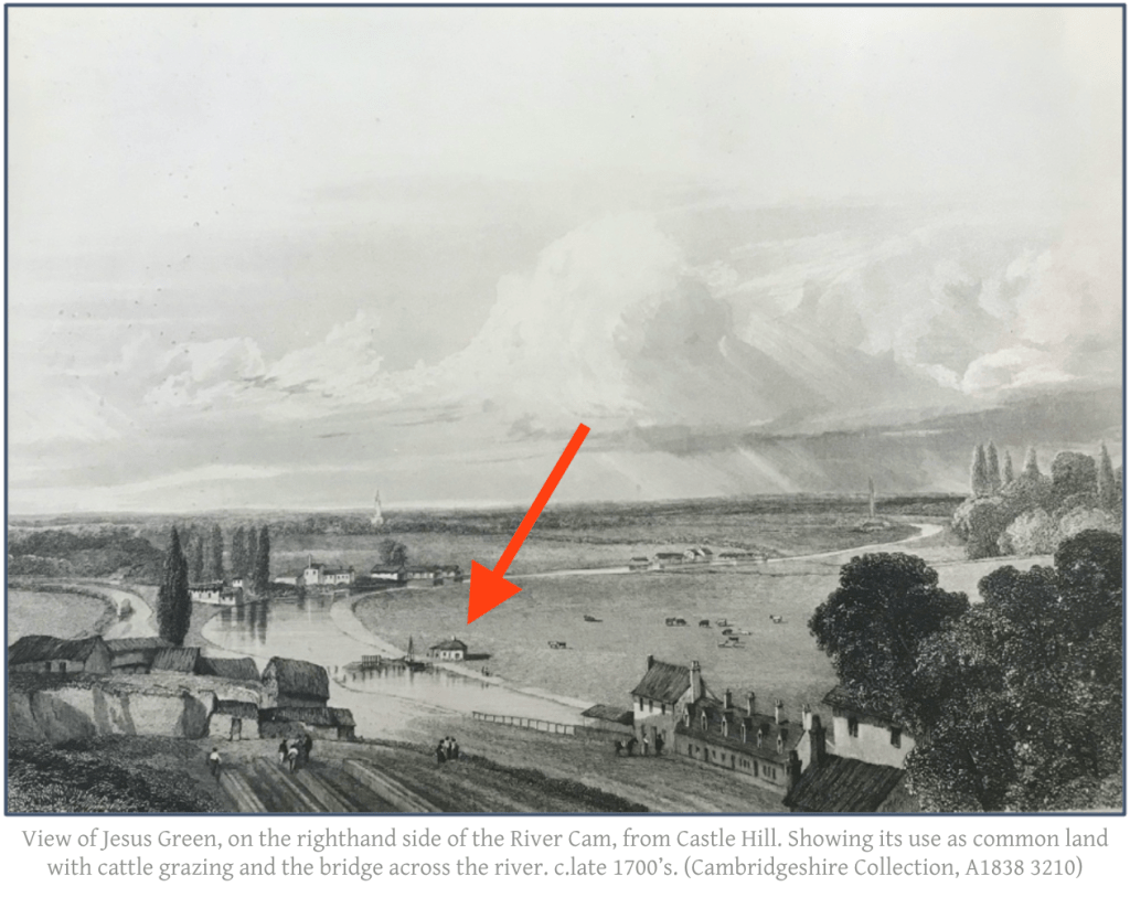
This picture from the website of Michelle Bullivant1 shows Jesus Green in the 1700s. The little house by the river, arrowed, looks to me to be in the same position as the current Lock House, and you can see a bridge or ford across the river Cam at this point. I recognise the houses on the bottom right, which look like the terrace of houses on Chesterton Road which is still there.
This photo of an old postcard shows that, in 1879, the lock house was single story.
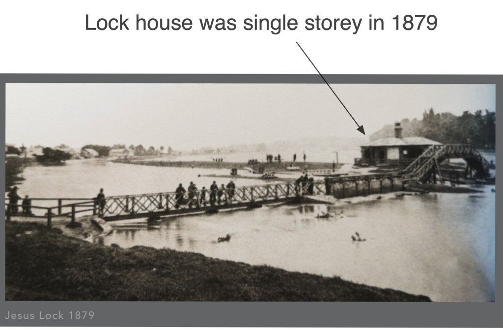
Image from capturingcambridge.org licensed under creative commons
CC BY-NC-SA 4.0
During the 19th century, it was rebuilt. This picture shows the two-storey lock-keeper’s house on the left:
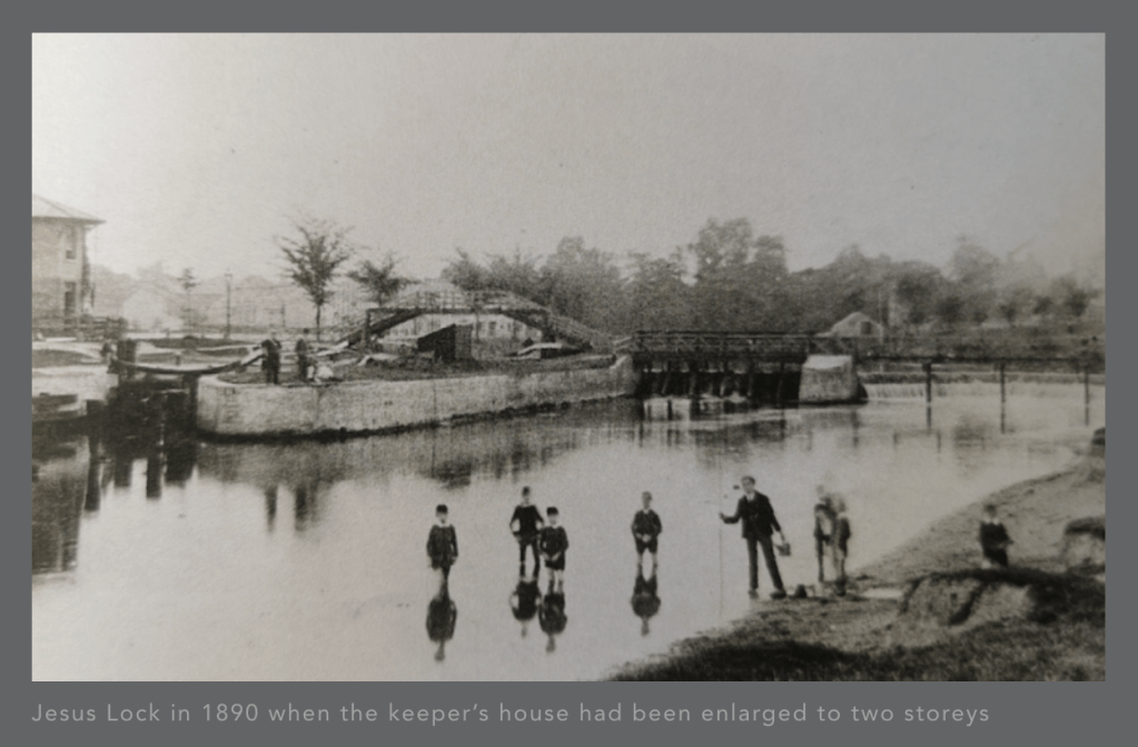
CC BY-NC-SA 4.0
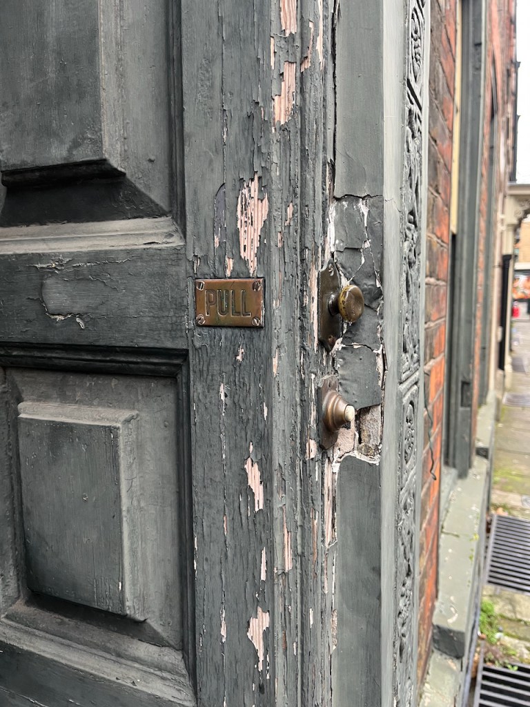
It was listed Grade II in 19722. In the 1990’s the final lock keeper moved away3 The house then became a house of multiple occupation (HMO), for students. These was an application in 2016 to turn it into a café, reference 16/0001/FUL. Its use was listed as “HMO” at that time. But this application was refused.
In 2021, the house was bought by its current owners, who have been bravely going ahead with a renovation to transform this listed building once again into a residential dwelling, with an aspiration also to host community events4
“Eventually it will be a beautiful place and a better place”
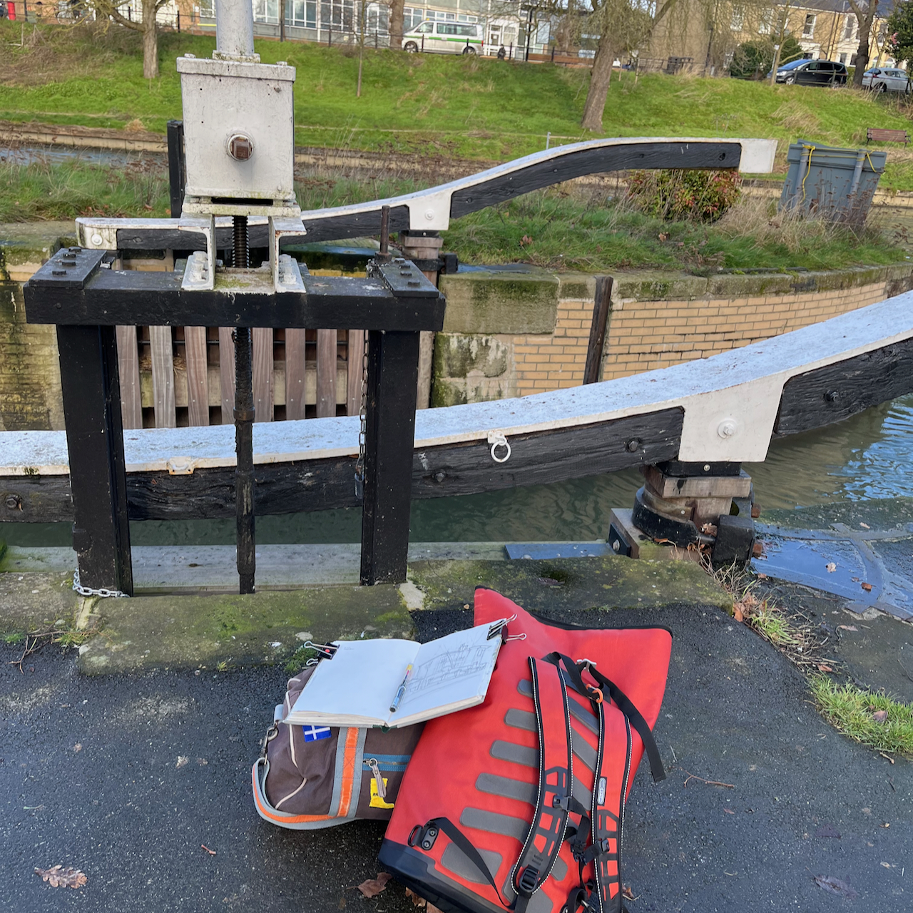
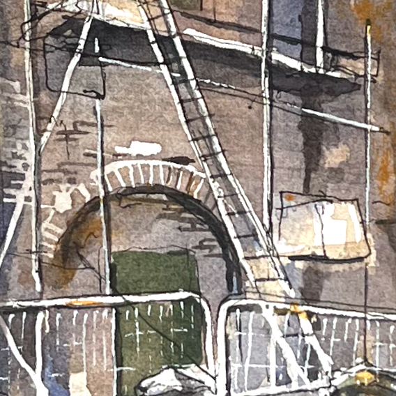
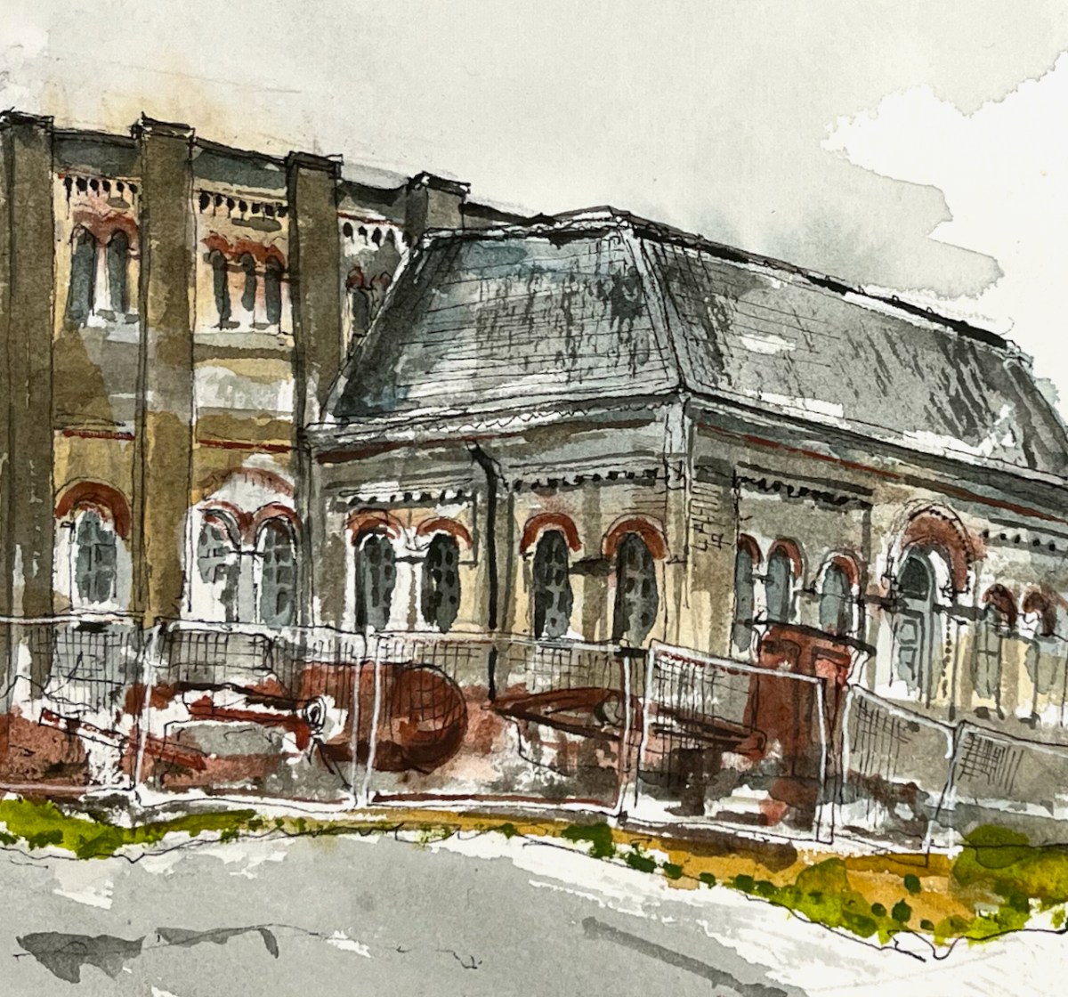
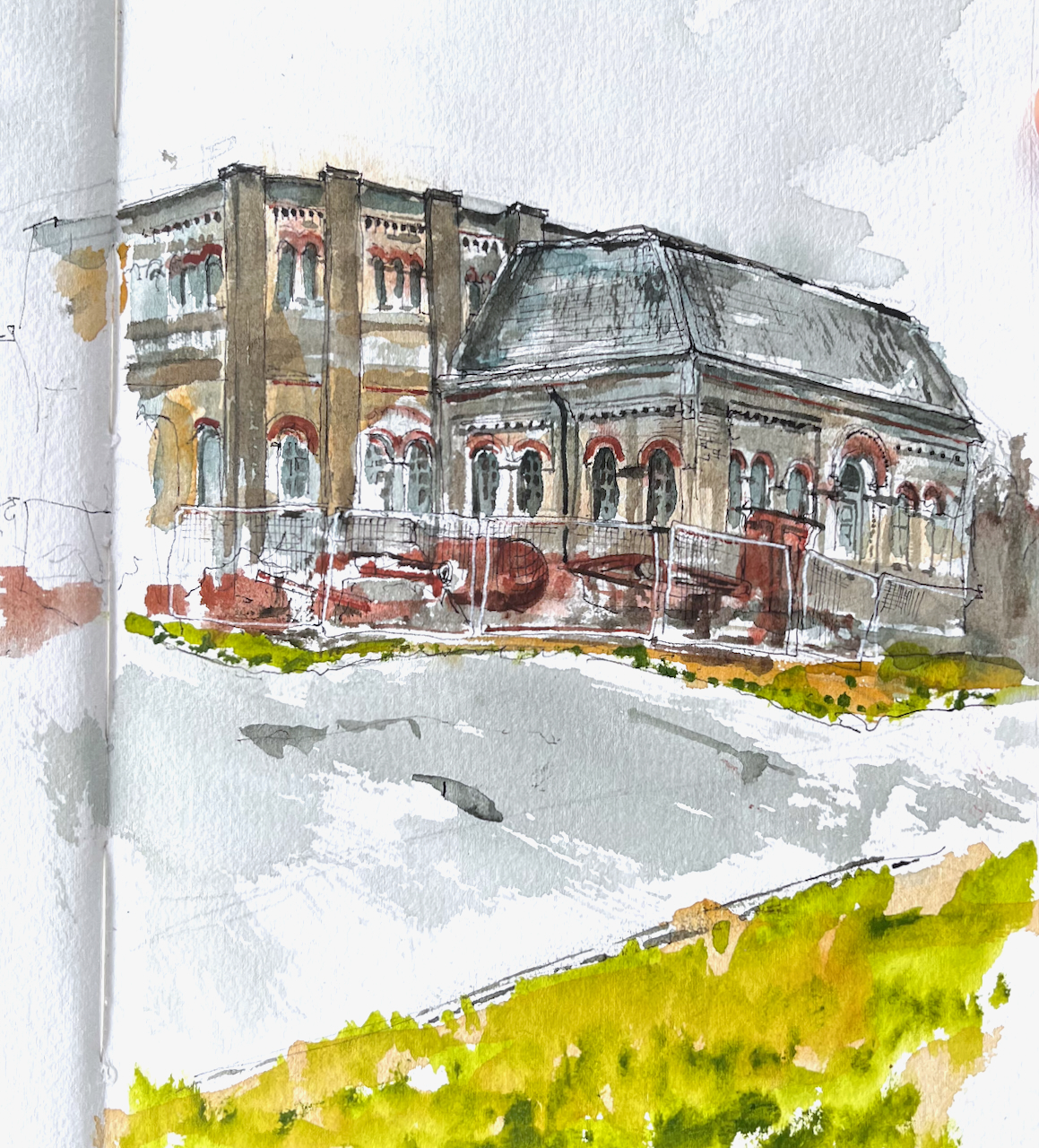
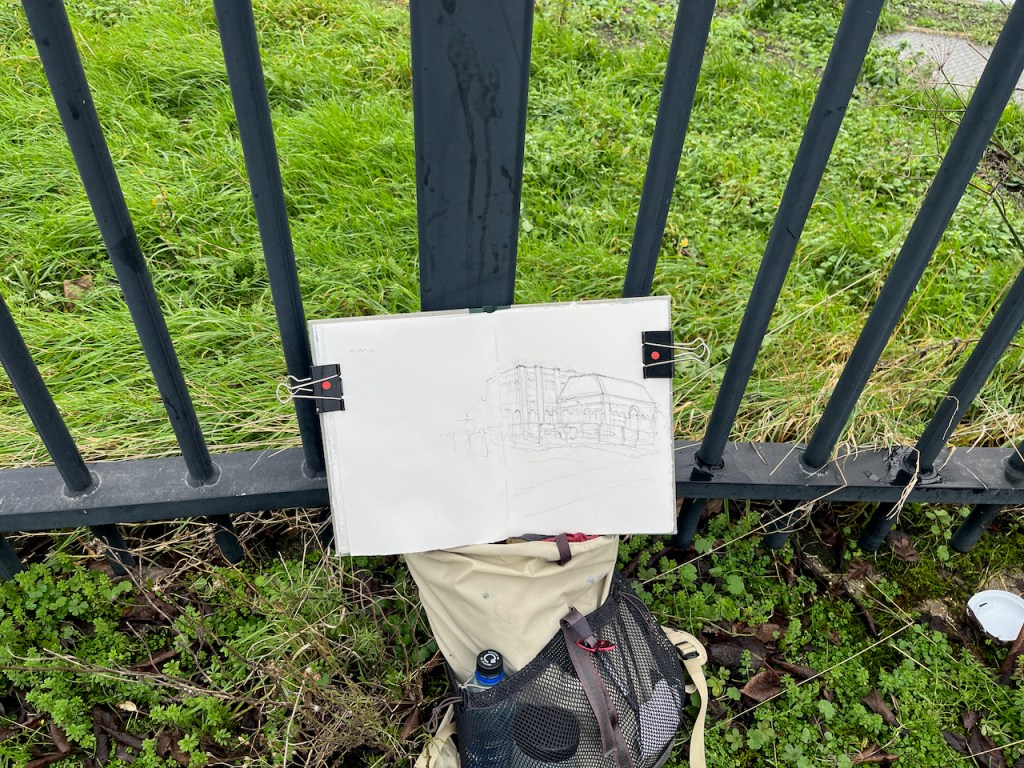
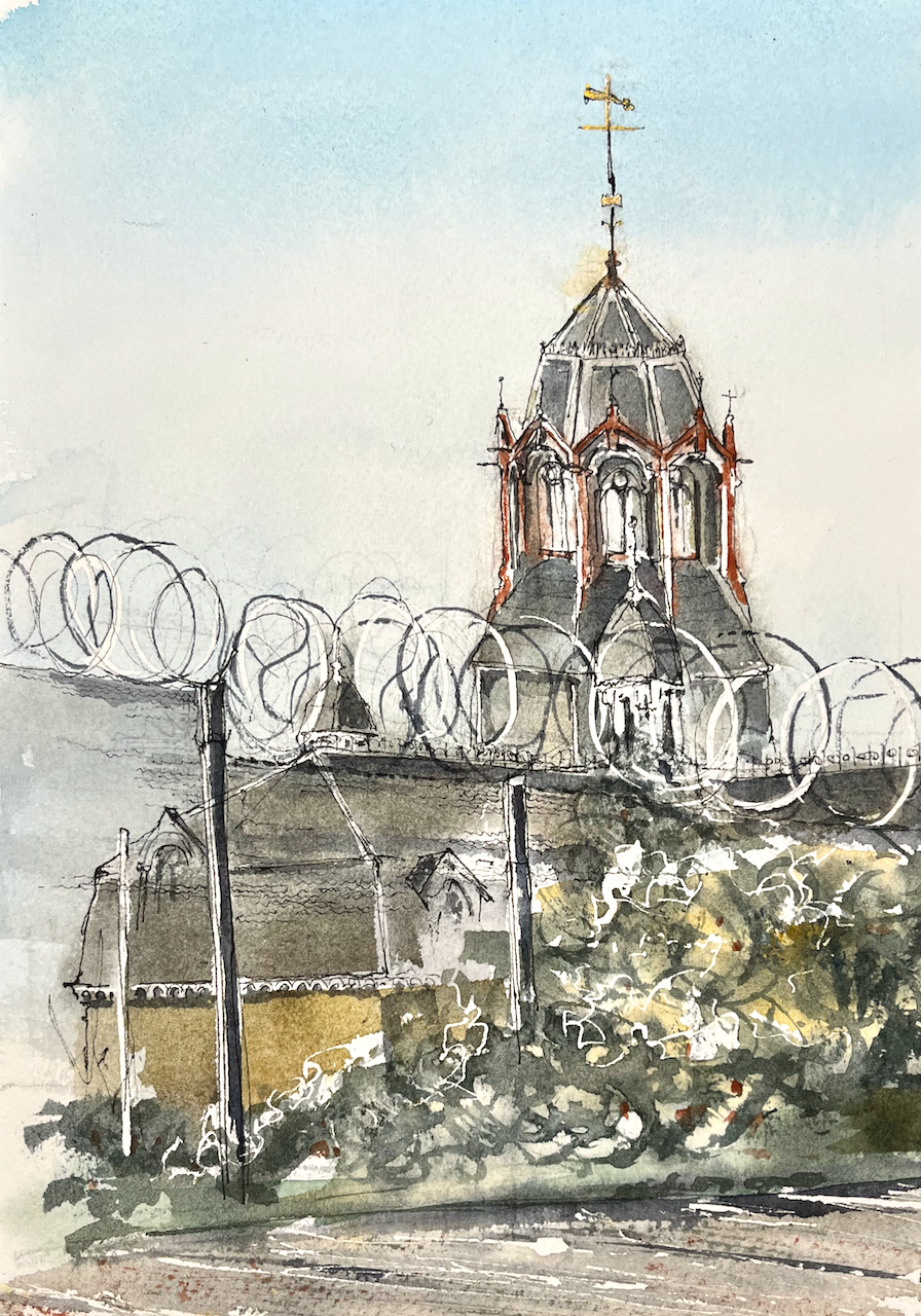
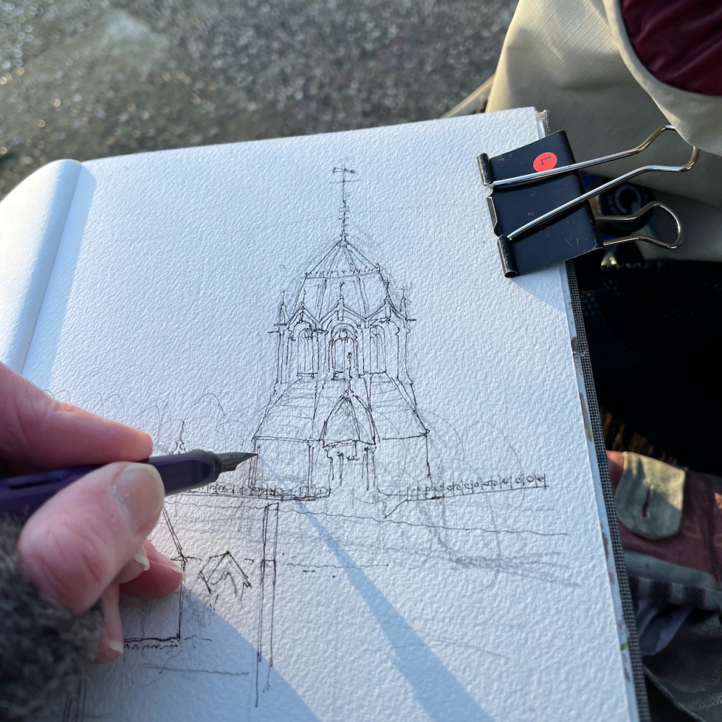
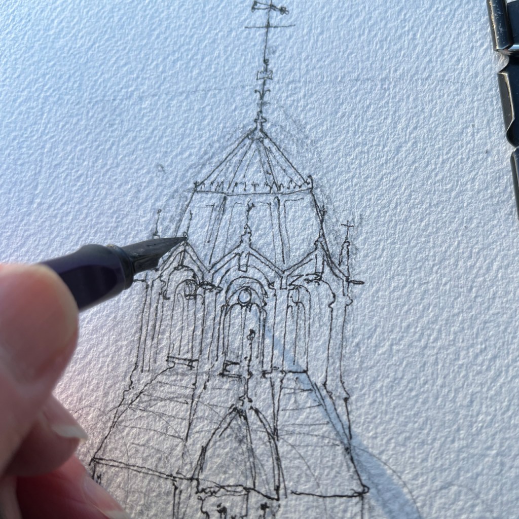
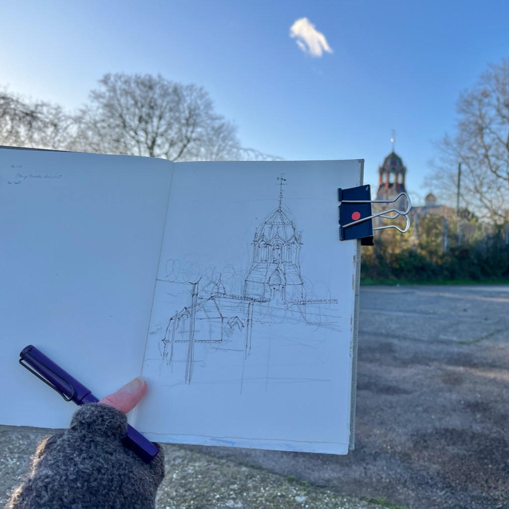
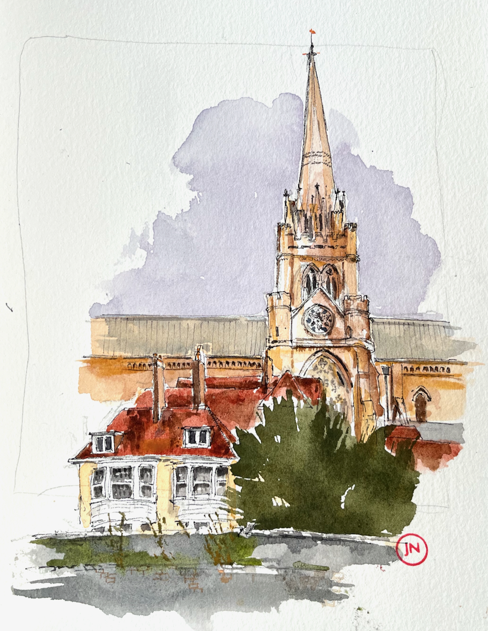
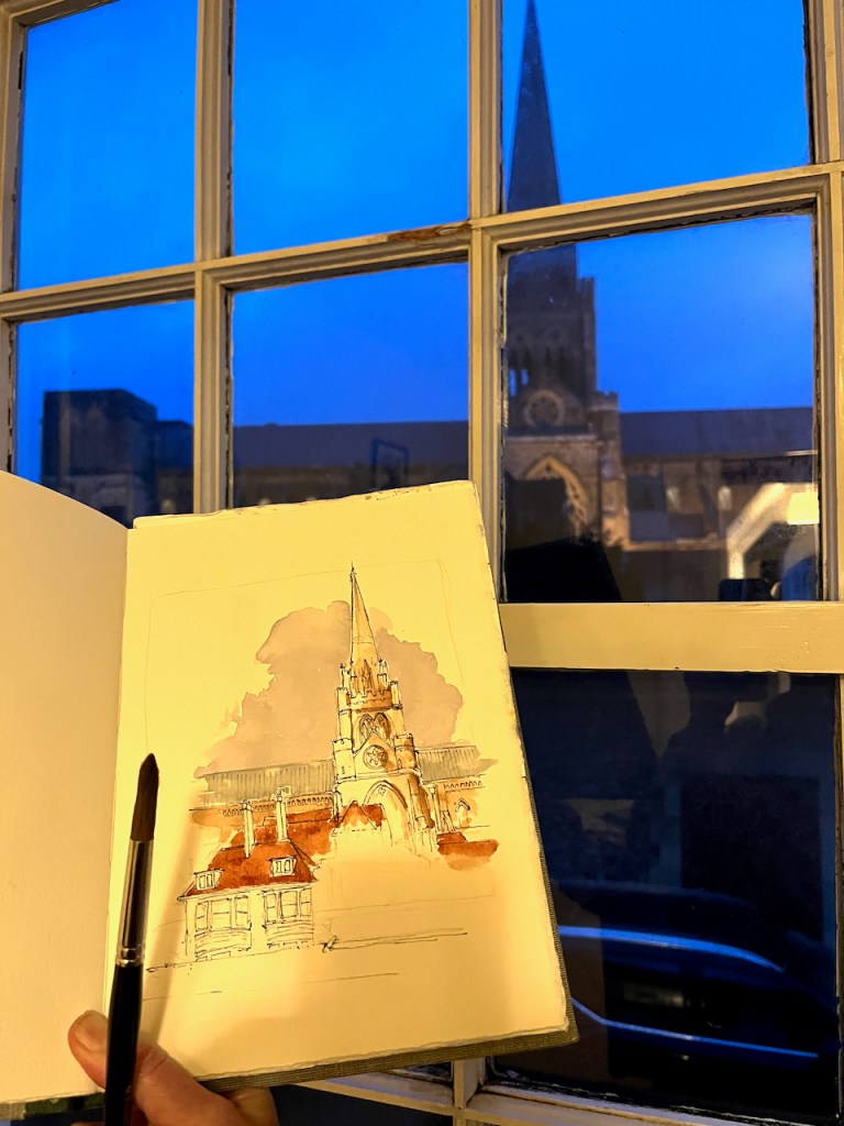
I sketched the house on a very cold day in January. There was a strong wind which not only threatened to throw my sketchbook into the Cam, but also made my eyes water so I couldn’t see properly. I finished the pen and ink, and decided that was enough. Then, by a happy chance, I encountered the current owner unlocking the fence gate. Hence I learned about the efforts of this mother and daughter team, who are determinedly navigating the difficulties of an old building, listed consents, and many other obstacles. But they make amazing progress! See their instagram account for more information.

References:
- Michelle Bullivant, Local Historian. The image is on this page: https://www.michellebullivant.com/cambridgeshirehistory/brief-history-of-jesus-green-cambridge#/ ↩︎
- Historic England listing number 1111846: https://historicengland.org.uk/listing/the-list/list-entry/1111846?section=official-list-entry ↩︎
- The final lock-keeper moved out in the 1990s according to the Cambridge Edition May 14th 2023. https://cambsedition.co.uk/property/lock-house-and-key/ ↩︎
- The renovation reported in the Cambridge Evening News 15th July 2021: https://www.cambridge-news.co.uk/news/cambridge-news/jesus-green-lock-house-getting-21062688 ↩︎


