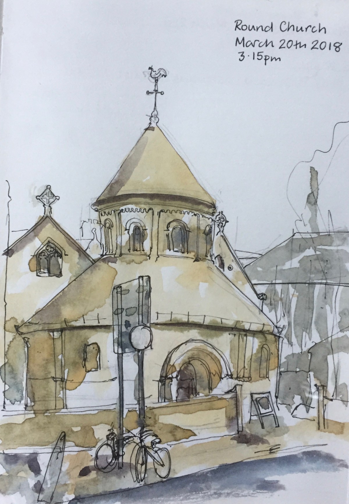
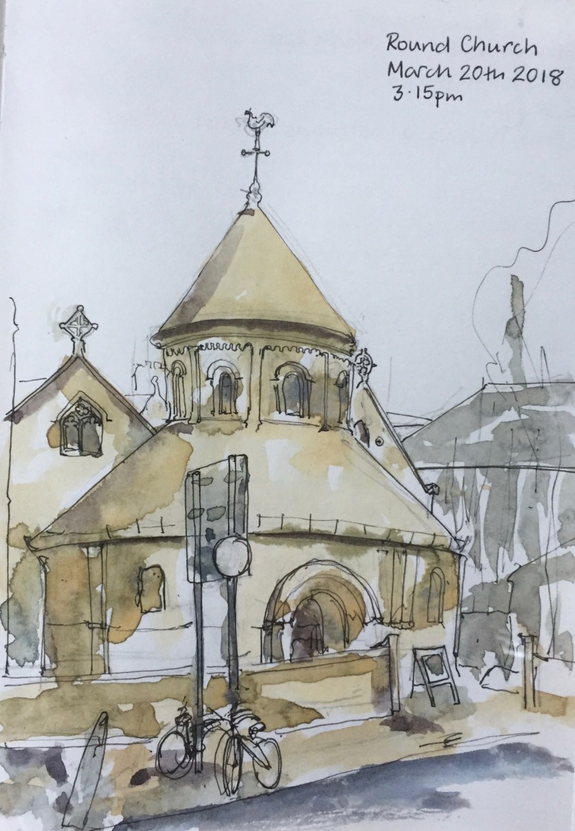
I drew the Round Church from the low wall outside St John’s College. It seems surprising to me that the road sign is placed right in front of this well-known and much photographed church. But it was there, so I put it in the picture.
Here are two sketches made from the Fitzwilliam museum, sitting on the stone outside.
Fitzwilliam St, G Peck Chemist
Corner of Fitzwilliam Street
The houses are all neatly maintained. The windows have proper wooden frames, the chimneys have new concrete round their bases. The shield-like sign on the left of the road says “G Peck and Sons Dispensing Chemists, Estd 1851”. It is still a dispensing chemists, but not G Peck and son. Why do we now call chemists “pharmacies”? When did that happen?
I enjoyed the opportunity to look closely at these buildings. There’s a lot to sketch in Cambridge.
Sketching spot, 21 March 2018
Work in progress, 21 March 2018
Click a button below to share this post online, email it, or print it:
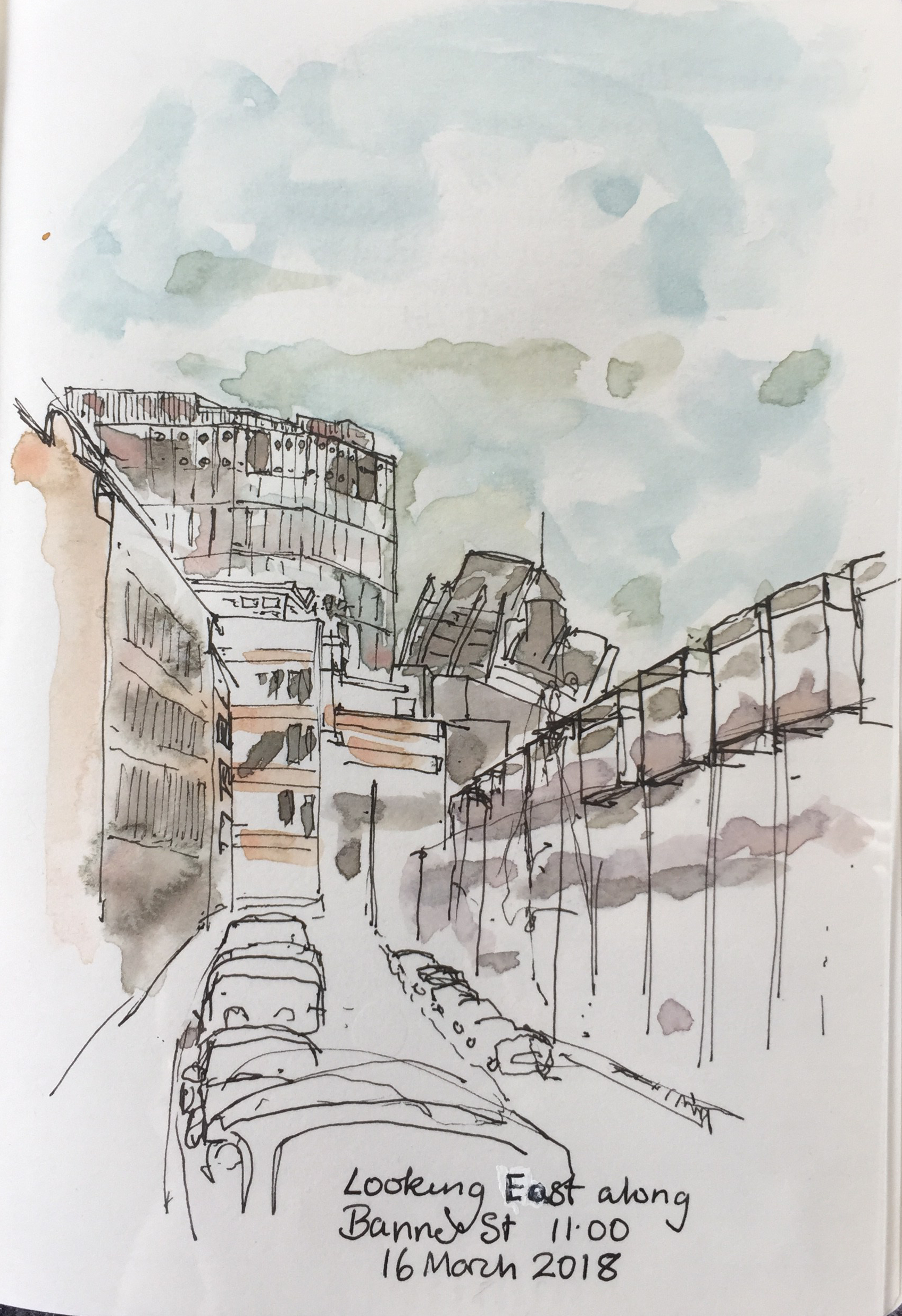
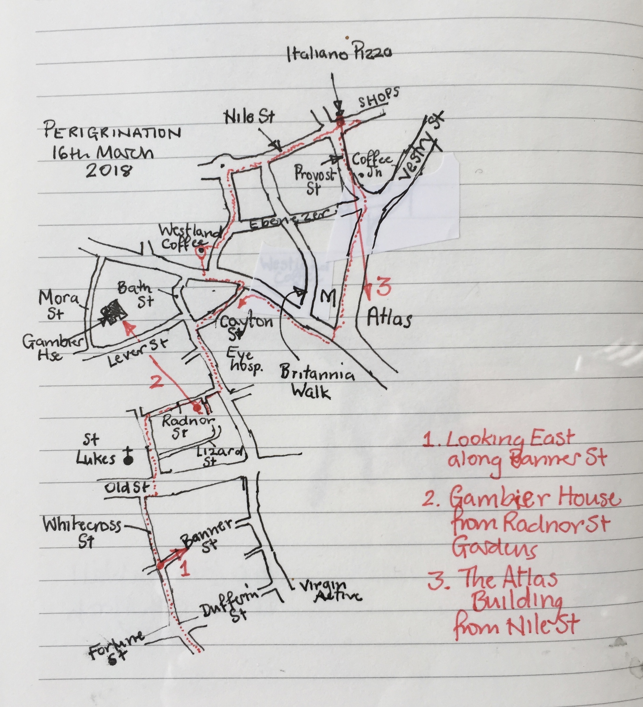
I set off up Whitecross Street. The market was setting up, and I went round the back of the stalls. Here’s a quick sketch from Whitecross Street, looking up Banner Street, 40 minutes.
At the end of Banner Street you the White Collar Factory, a multi-occupancy office place, and the weird building on the Old Street roundabout. I’ve drawn these buildings before from another angle: Buildings on Cowper St EC2
Amongst the buildings of the St Luke’s estate I rested in Radnor Street Gardens.
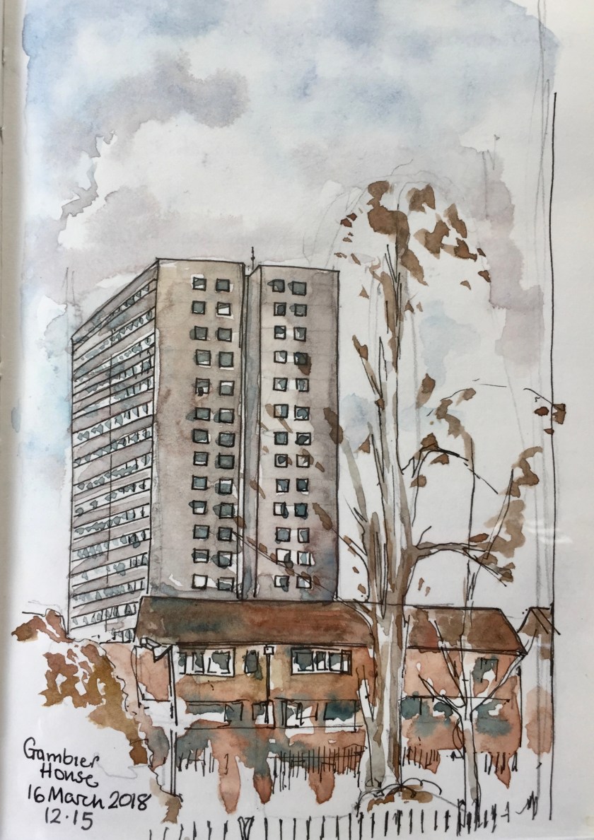
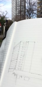
This gave me a good view of Gambier House.
Gambier House from Radnor Street Gardens, 1hr
After that I needed a coffee and made my way to Westland Coffee and Wine, in an alley off the City Road.
Westland Coffee and Wine is next to Shoreditch, and people hold interesting business conversations there. I had coffee and warmed up. Refreshed, I set off along Westland Place, and passing Jamie Oliver’s “Fifteen”, and the glass and steel offices of communications companies and a CCTV company.
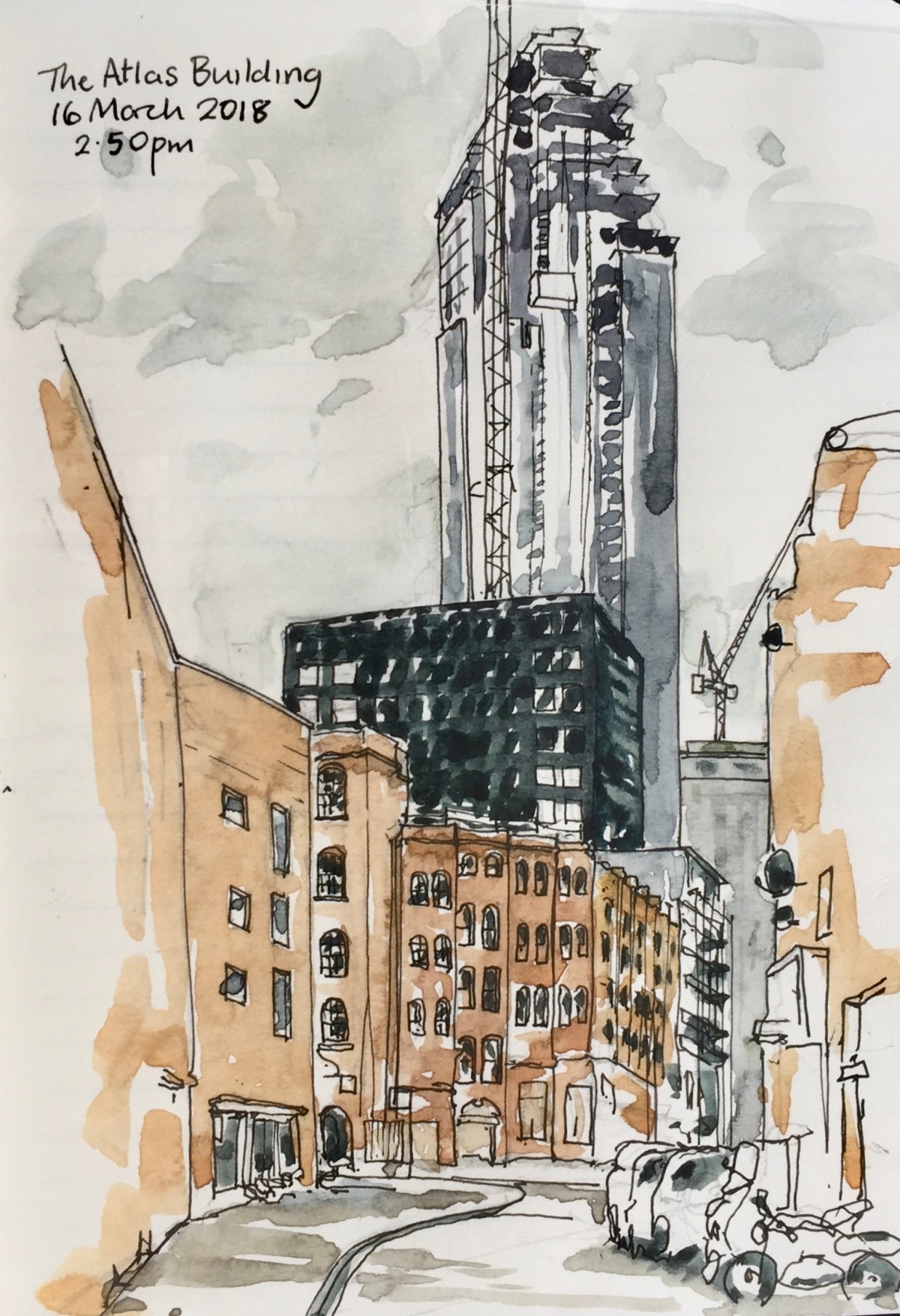
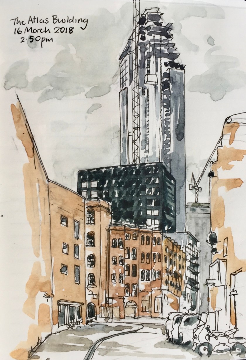
Then there’s a discontinuity: a sudden change from glass and steel, to a brick-built residential estate, The Provost Estate, including Rhodes House. The Atlas Building is visible along Provost Street, looking South (Number 3 on the map).
Atlas Building from Nile Street, 1 hour 50 minutes.Italiano Pizza, Nile Street
I drew this in 1 hour 50 minutes, sitting comfortably in a wooden chair kindly provided by the proprietor of “Italiano Pizza” on Nile Street. His shop emitted marvellous smells of baking dough. Customers turned up at regular intervals, placed their orders and then drifted off to walk their dogs or smoke their cigarettes while their pizza was prepared.
“The Atlas Building” construction site includes both the 52-storey building and the dark cube.
“Atlas epitomises luxury-living in an exciting and vibrant urban landscape. Atlas stands tall with 38 residential floors of exquisite apartments stretching across London’s prominent skyline.”
I can’t find out what the dark cube is. It doesn’t look residential.
The brick buildings are on Vestry Street. They look like former warehouses. On the left is “FindersUK.com international probate geneologists”. The buildings next to it in the centre of the drawing are unoccupied.
Work in progress: Seawhite travel journal from Artesaver.
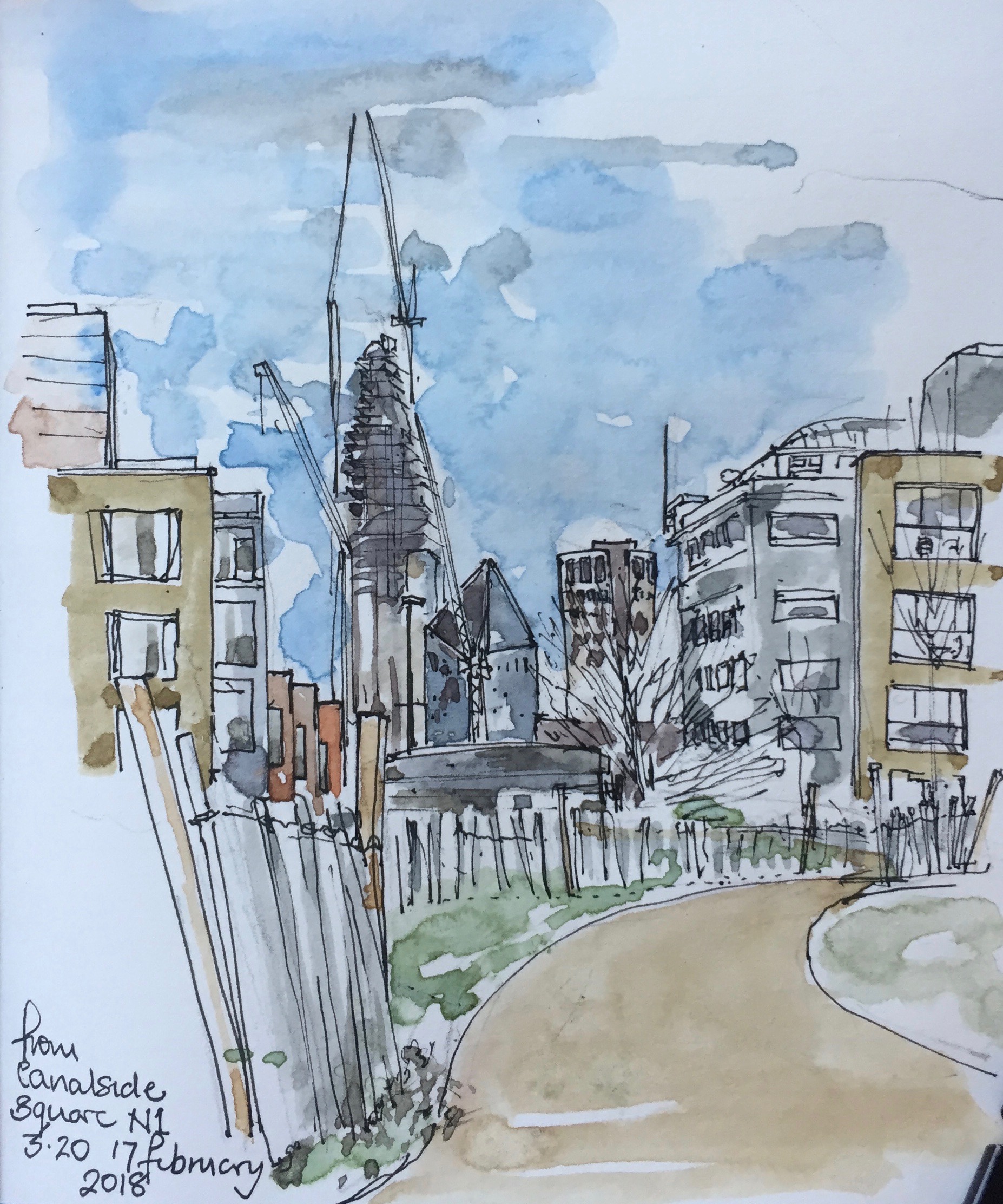
Here’s another picture of the Atlas building, which I did on the 17th February, from Canalside Square, Packington Street N1.
The Atlas Building, Montcalm, Eagle Point, from Canalside Square 17th Feb 2018, 40 minutes.
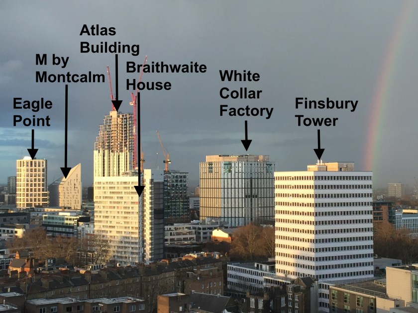
When I came home, I saw a rainbow from my window.
Click a button below to share this post online, email it, or print it:
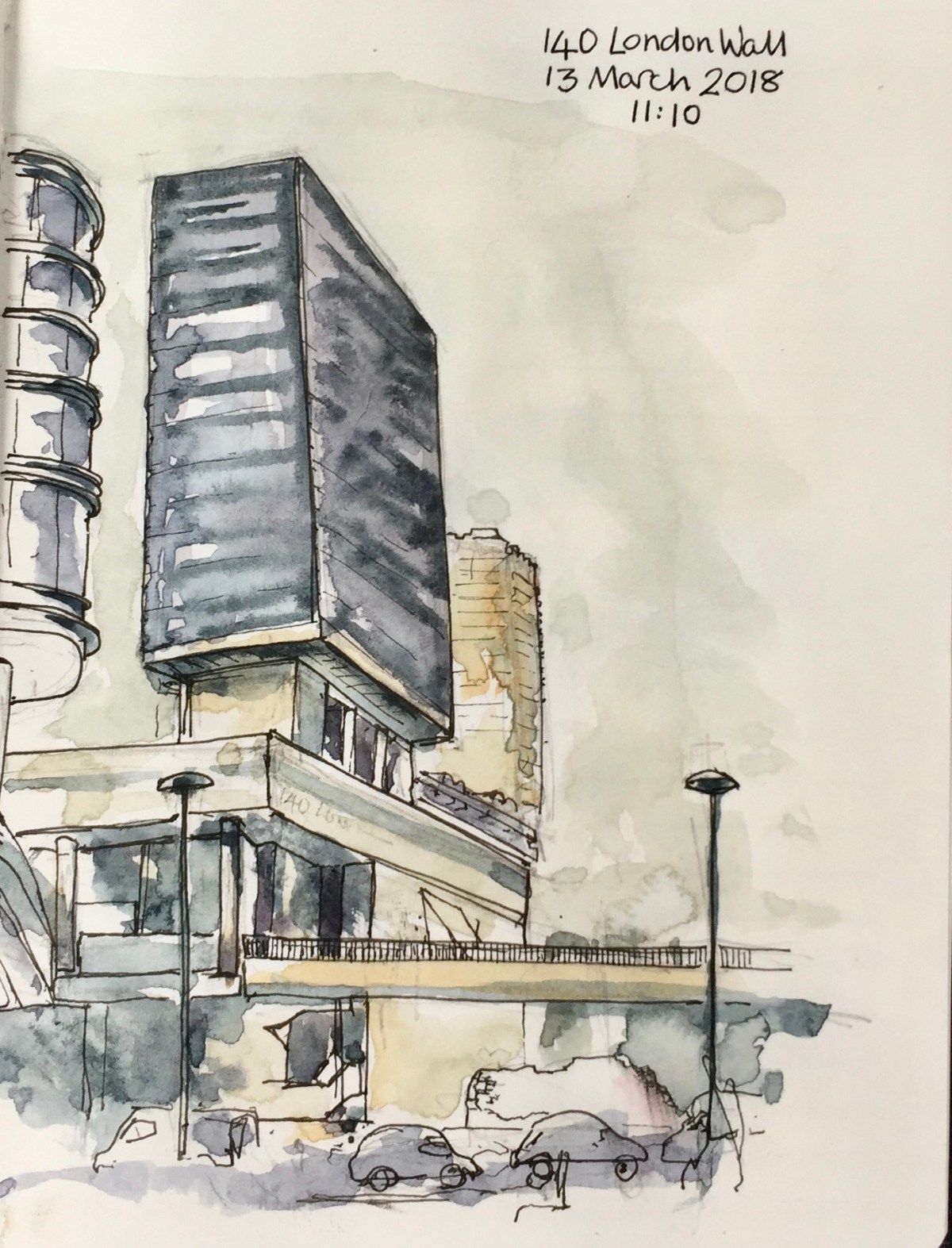
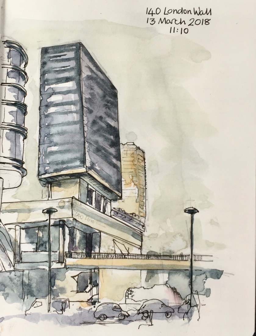
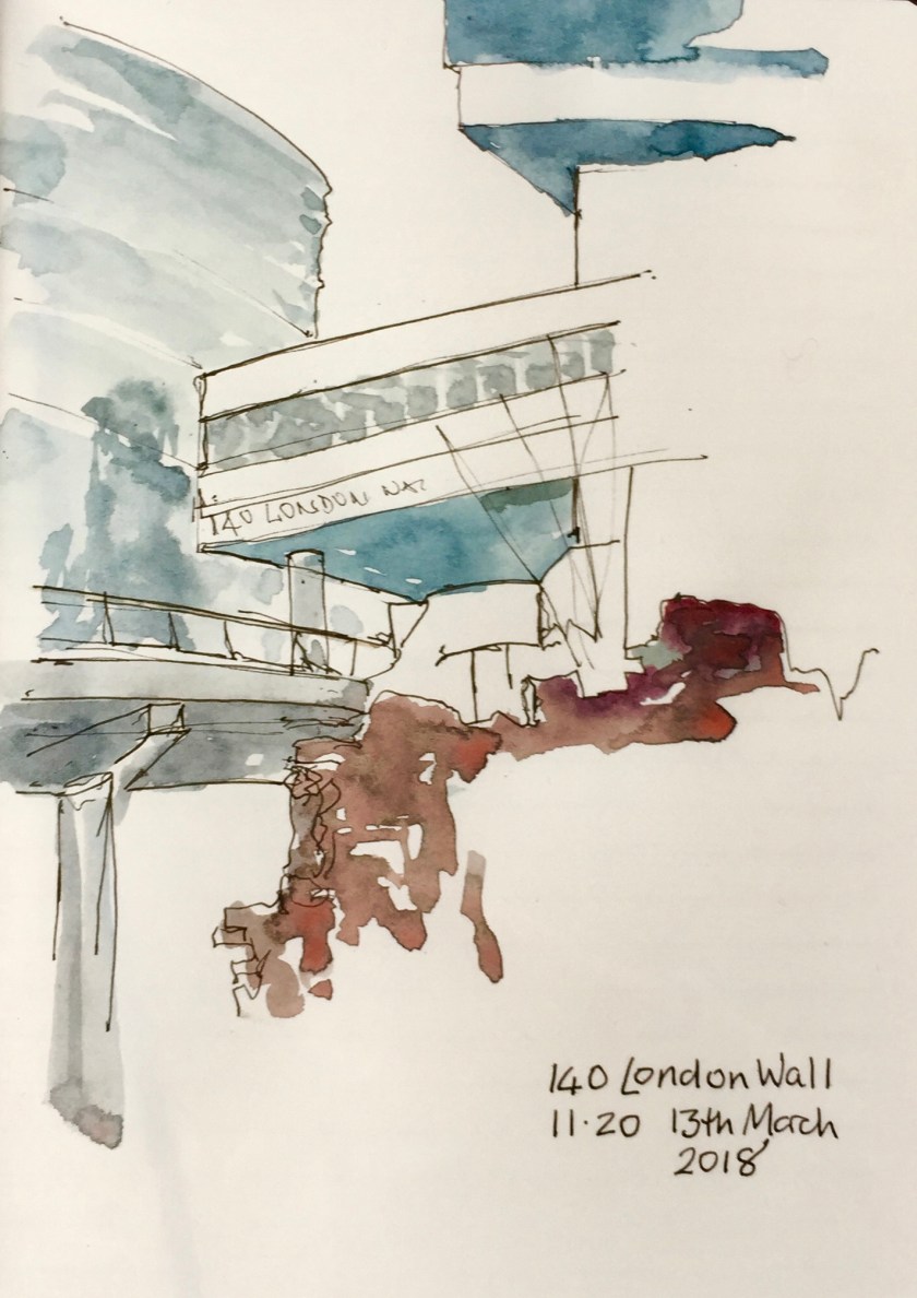
It was designed by Powell and Moya, and constructed in 1972-76, as part of a 1947 grand plan* for development of the area north of Bank.
In my sketch I wanted to show the great mass of this huge rectangular building, so confident, and the way it shelters the activity below.
This sketch took about 1hour 30mins.
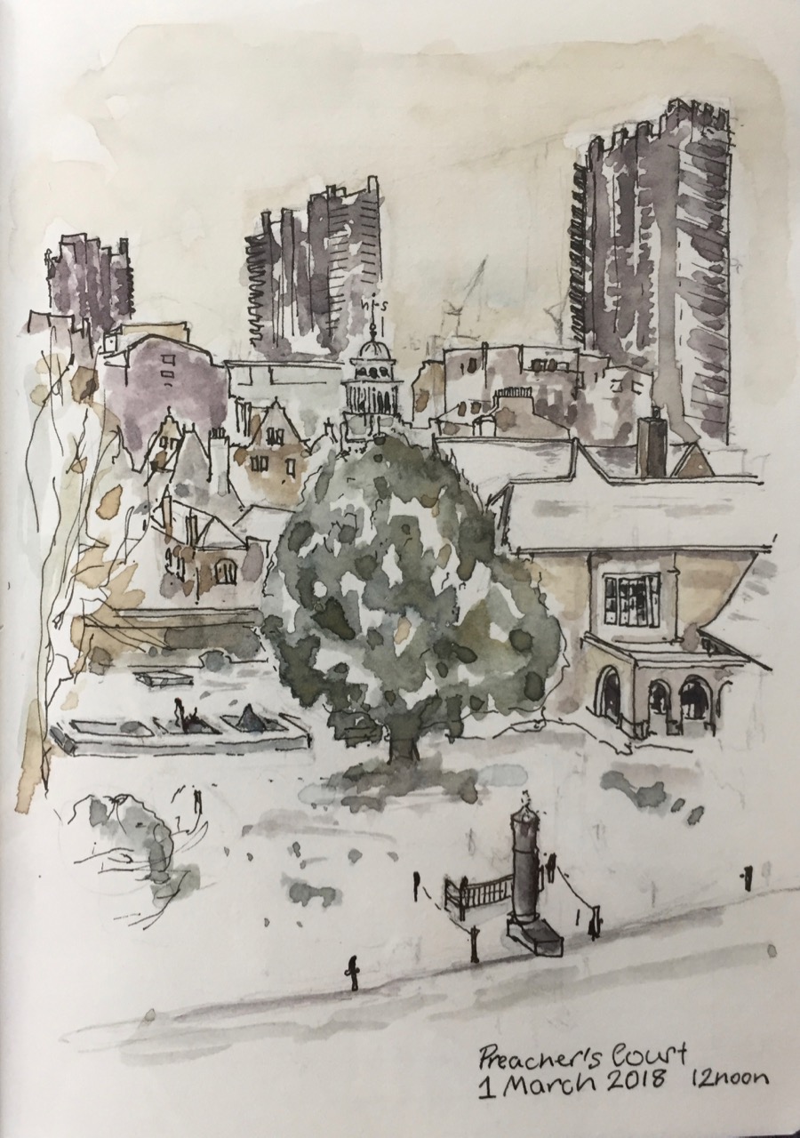
Then I walked into the picture, and found a stunning view across the old buildings in the Barber-Surgeons garden. This is a 5 minute sketch, coloured later.
*Grand plan: the 1947 Town Planning Committee publication, “The City of London; A Record of Destruction and Survival” by C. Holden and W.G. Holford.
For previous sketches of 140 London Wall (aka Bastion House) see
Helen went off to take a conference call, and I drew the Cathedral.
This was a quick sketch, pen and wash, about 40 minutes.
While I drew this, a brass band was practising in the nearby boys’ school. They were playing “Annie Laurie”.
This cathedral is impressively enormous. The Tower is Norman: built 1077 – 1093. The nave is hugely long, but inside it is divided by screens, so you can’t see all the way along, which is what I wanted to do.
Click a button below to share this post online, email it, or print it:
It has been snowing now for several days. Robin invited me to sketch The Charterhouse in the snow, and suggested a viewpoint from the second floor of the Infirmary.
From here I could see all three of the Barbican Towers. Someone was clearing snow in the foreground, but they moved on before I could get them in the picture.
It was a good place to sketch, warm and quiet. I could hear the muffled sounds of the nurses moving about below, and of the Brothers who were in the infirmary. Sometimes they called out.
Here is what the picture looked like before the colour went on.
This picture took about 2 hours: One hour for the pencil outline, half an hour for the pen, and half an hour for the colour – roughly. It took ages to get the proportions right. Especially in the snow, the eye sees detail in far-away objects, so the temptation is to draw them too big.
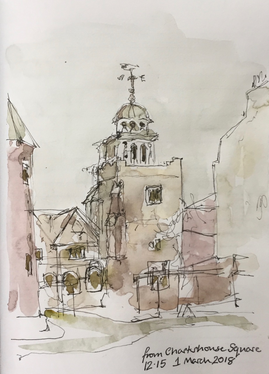
After I handed in my visitor’s badge at the gate, I went out into Charterhouse Square. I looked back at the Chapel. And did a quick pen sketch, standing in the snow.
This took about 10 minutes, coloured later on my desk at home.
Thank you to Robin, and to the Brothers, Master and staff at the Charterhouse for their hospitality.
Click a button below to share this post online, email it, or print it:
From the window of the B&B we saw the snow storm come from the East.
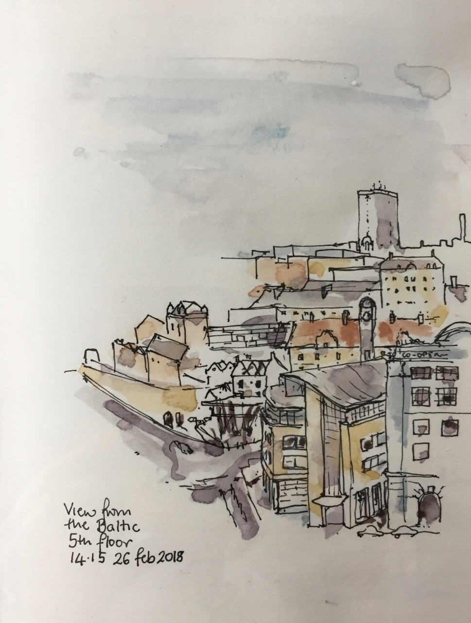
I drew a picture from indoors on the 5th floor of the Baltic Art building.
On the horizon is Bewick Court, 21 storeys, 133 flats, 1969-71, renovated 2002, managed by “Places for People”.
The building with the clock tower is Keelmans Hospital 1701-4. It was paid for by levying a penny a tide on the keelsmen who carried goods between large ships and the shore – in boats called keels. This information from the Pevsner guide to Newcastle and Gateshead.
On the right the building has “Co-operative Society” written on it in huge confident letters. It is now a Malmaison Hotel. Next to that, the building with the curved roof is “Sandgate House 102 Quayside”, offices of “ward hadaway law firm”.
The 4 turrets, towards the left, are Walknoll Tower, a 1716 Town Hall and gate tower.
Right in the middle of all this is a burnt-out house, with dilapidated outbuildings. We walked past it on the way to the Baltic from Manors Metro station. Newcastle is a town of mixtures and many mysteries.
Here is a very modern-looking mug, that was made two and a half thousand years ago. It was in the Hancock Museum, now called the Great North Museum:Hancock.
Here are some sketches from the train journey back through snow.
Click a button below to share this post online, email it, or print it:
This is a drawing from outside Godfrey House in Islington. Godfrey House was built in the 1960s, as part of the St Luke’s Estate. Drawn and coloured on location, about 45 minutes. It was very cold and windy.
The pointed building is “M by Montcalm” on the City Road. It is a hotel finished in 2015. On the left is Eagle Point, a recent residential development by Terry Farrell & Partners.
M by Montcalm is exceptionally hard to draw. It has no right angles. Also its outside is a strange irregular diagonal tessellation. I have tried hard to capture the ” triple glazed skin enlivened with differing patterns of transparency, opacity and solidity to convey diagonal slopes breaking across an underlying vertical structure.” [Squire and Partners website]
The traditional building in front of it, on Peerless Street, provides a reassuring brick-built contrast.
“Squire and Partners’ concept for the M by Montcalm hotel in Shoreditch was delivered in collaboration with Executive Architects 5 Plus, and completed in summer 2015. The site – opposite Moorfields Eye Hospital on City Road – provided inspiration for a striking facade which expresses the idea of the optical and the visual. Responding to the Moorfields Eye Hospital opposite, and taking inspiration from the 1980′s artworks of Bridget Riley, the facade is expressed as a triple glazed skin enlivened with differing patterns of transparency, opacity and solidity to convey diagonal slopes breaking across an underlying vertical structure. Manipulation and modulation of light, both internally and externally, give the facade richness and an ever-changing face on this prominent site, as well as assisting solar performance to create a sustainable development. The conjunction of the vertical and the diagonal create a visual effect of depth and movement, and express the activities taking place within the building. At the upper levels the facade openings become larger to express the more social uses and exploit the panoramic views. At ground and lower ground floors, the building skin ‘lifts’ on the diagonal to reveal the hotel lobby, public bar and restaurant, all clearly visible.”
[Squire and Partners website]
Click a button below to share this post online, email it, or print it:
Drawn and coloured on location, about 1 degree C. That’s snow in the foreground.
Then later, it was colder.
Hotel de France, drawn from the street, at minus 6 degrees C. This took two attempts. I had to retreat to the hotel after about 10 minutes to warm up, then I went out again and finished the picture. Colour completed in the hotel restaurant.
Here are some other sketches from the trip.
Absinthe in the Hotel de France
View from the breakfast room – a postcard, photographed after it’s been through the post.
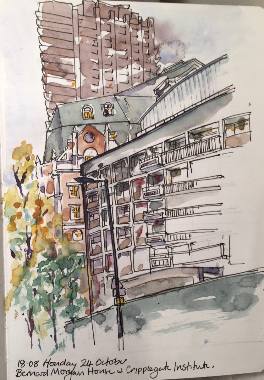
The building which was Bernard Morgan House has now been pulled down. This is sad. It had a calm 1960s look, and ceramic tiles on the side.
I looked across the gap and could see the Welsh Church: Eglwys Jewin.
The church is the building with the green roofed turret and the long windows. It was founded around 1774. According to its website “capeljewin.org” in the 19th century it was “one of the most powerful and influential churches in the Calvanist Methodist tradition”. It was very well attended in the 19th century so they built a new and bigger chapel on Fann St in 1879. This was destroyed in the Blitz in 1940. The building I’ve drawn was built in 1960.
Lauderdale Tower is just visible, to the left of the picture, and Blake Tower is on the right. Ahead, behind the church, is Tudor Rose Court, a City of London building providing sheltered housing to people over 60: 16 leased, and 60 social rented flats.
Bernard Morgan House used to be a City of London building too. It was a police house.
I drew it in 2016:
24 October 2016 – Bernard Morgan House and the Cripplegate institute.25 August 2016 – From Brackley Street: the Welsh Church and Great Arthur House (Golden Lane Estate) showing the wall of Bernard Morgan House
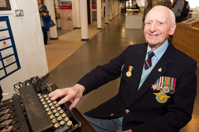
Who was Bernard Morgan? There is a Bernard Morgan, born in 1924, who was a code breaker in the Second World War. Was it him?*
Sgt (Retd) Bernard Morgan, an RAF D-Day code and cipher veteran, looking at a Type X machine (Manchester Evening News, 12 April 2014)
Taylor Wimpey are going to build luxury flats: “The Denizen”. This is how the view I’ve drawn will look after “The Denizen” is built:
“Street view” from the Taylor Wimpey website
Here’s another view of “The Denizen” from the Taylor Wimpey website. See how big it is! Fortune Park is the trees in the foreground. You can see Blake Tower on the right and Lauderdale Tower in the Centre.
The Denizen (centre), from the Taylor Wimpey Website
*Bernard Morgan Update, March 2018: John Tomlinson tells me that Bernard Morgan House was named for a councilman. Buildings and streets in the City of London are only named after people who died at least 20 years previously, and Bernard Morgan the codebreaker was evidently fit and healthy in 2014.
Click a button below to share this post online, email it, or print it:
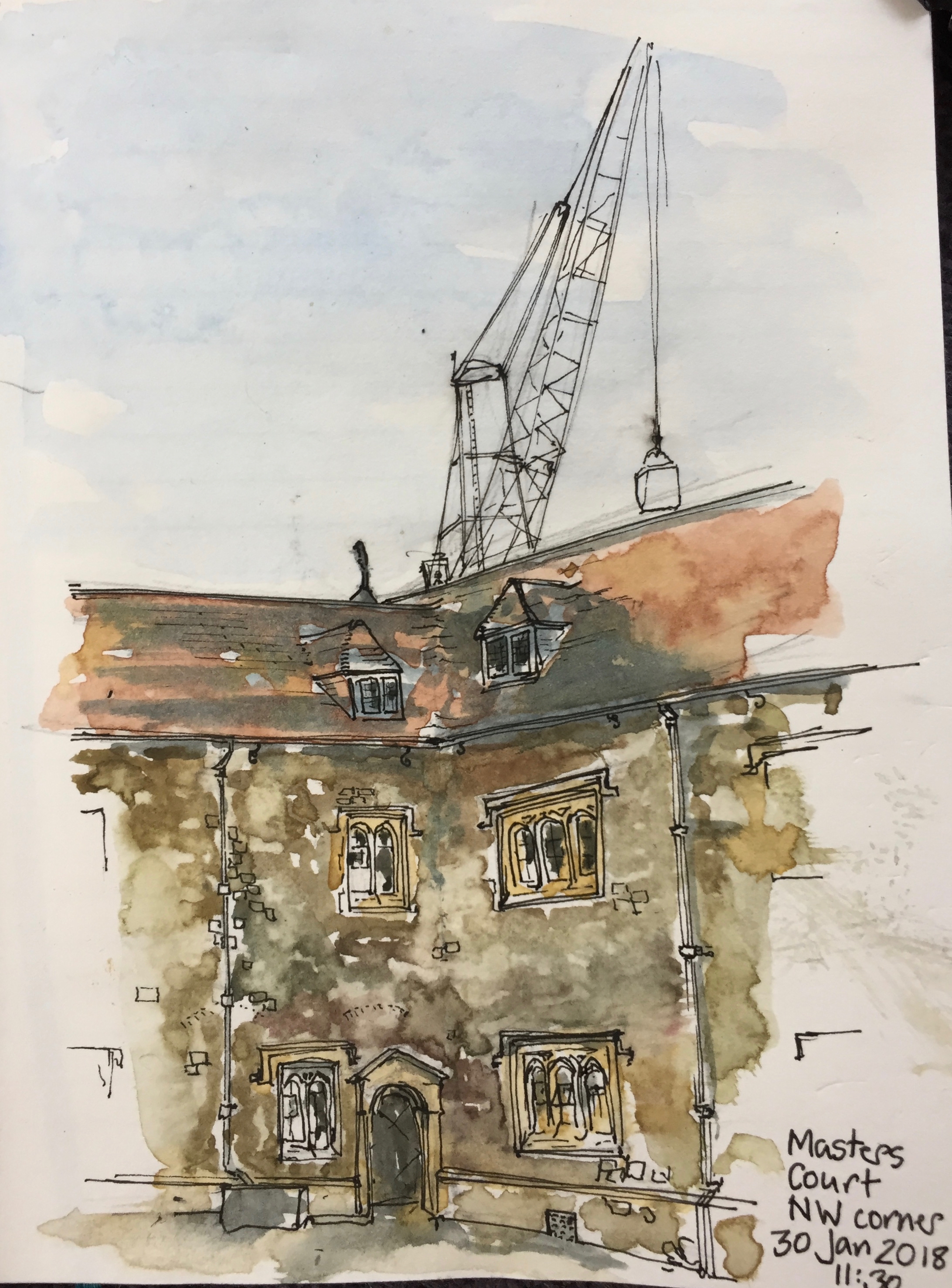
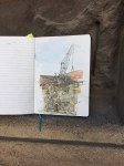
This morning I was again sketching in The Charterhouse. I’ve wanted to sketch in Masters Court, which has a fine façade on the Great Hall. But when I got there I preferred this view of the dark North West corner. Also there was a convenient seat.
I thought this view would be simple, but it wasn’t. The angle of those two roofs was a challenge.
While I was drawing, Mark came to mend the paving. He removed a heavy section of stone, and reset it. He looked at what I was doing. I asked him whether I should put in the crane, which loomed above the roof, and whose motor was clearly audible in the quiet courtyard. “Well,” said Mark, “it’s there!”
So I put the crane in. Then I met Robin, who asked if I would put in the crane driver, who was also visible at that point. So yes, the crane driver is in there too.
Here’s the picture:
Here are some pictures of the painting in the location. You can see the colour of the stone. Also there is the picture in pen and ink before the colour went on.
Pen and ink
on the Charterhouse stones
Watercolour kit
1hour45minutes, drawn and coloured on location. Very cold (6 degrees C), but dry.
Click a button below to share this post online, email it, or print it:















 Jane Sketching