I walked over to the distant headland, called Whites Ness. It was a long walk.

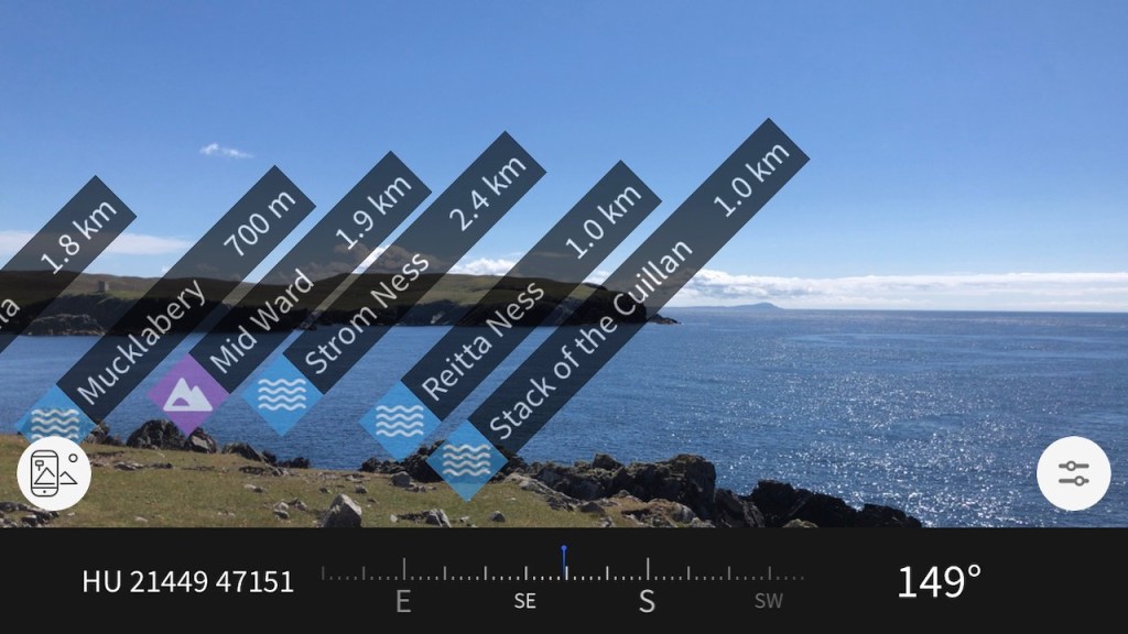
OS App (edited) 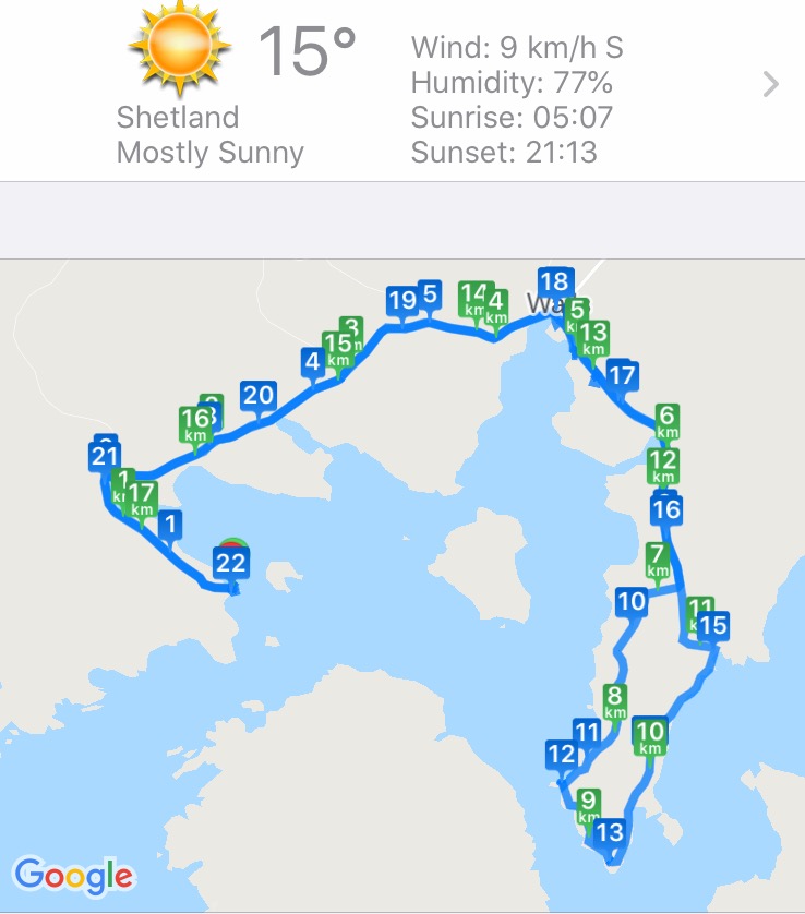
Cyclemeter App

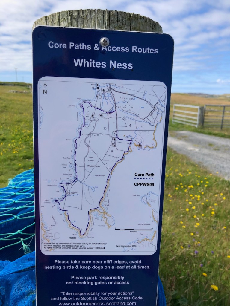
The walk round the peninsula of Whites Ness is way-marked.

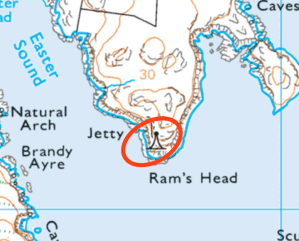
When I reached the end of the peninsula, I saw that there was a lighthouse marked on the map.
I wondered if it were really there. Would it be a real lighthouse, or maybe simply a buoy off the rocks?
The path was not very well marked, and seemed to be mainly uphill. I was a good way through what was already quite a long walk. And I had to walk back. But I kept on going. It seemed an unlikely location for a lighthouse. Of course I had in my mind those lighthouses I have seen, built by the Stevenson family in the 18th Century, red and white striped, towering over cliffs.
Here there were relatively mild rocks, smooth grass and a few sheep.
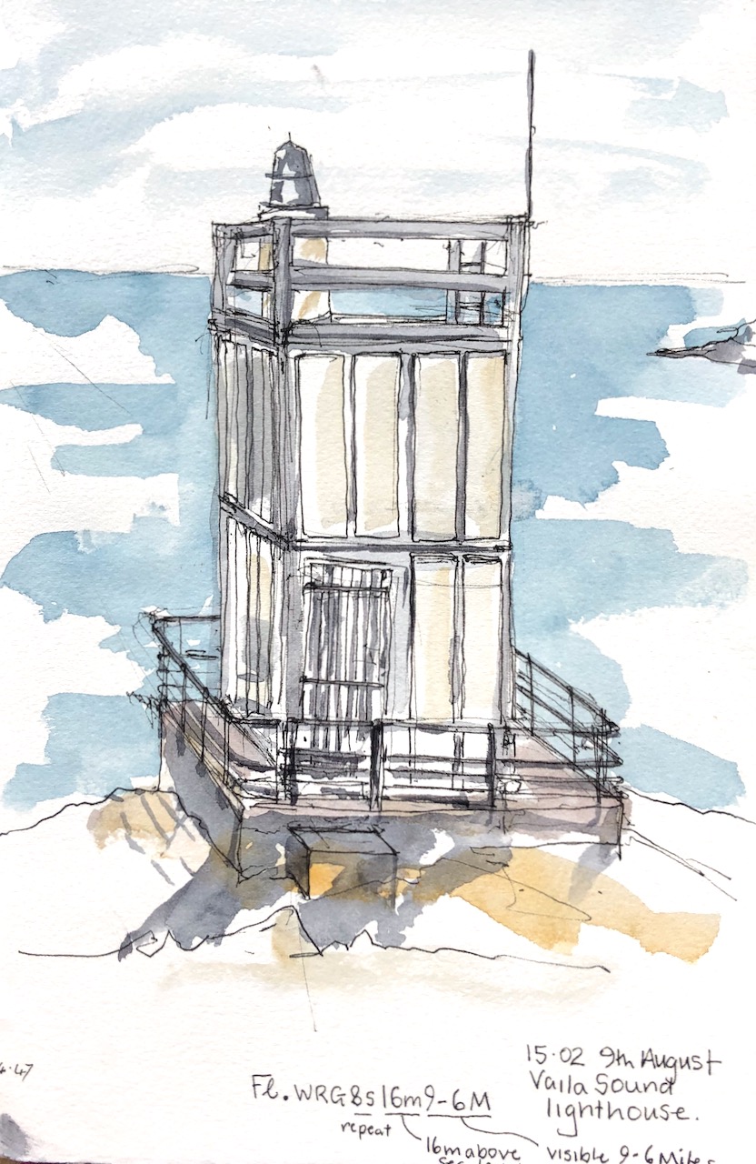
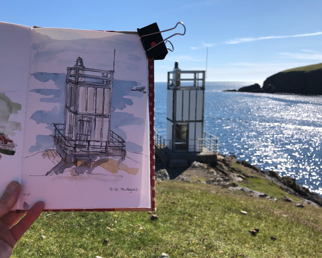
But then, against all expectation, there was the lighthouse. I was delighted. There was no-one around to whom I could exclaim: Look! Look! There really is a lighthouse.
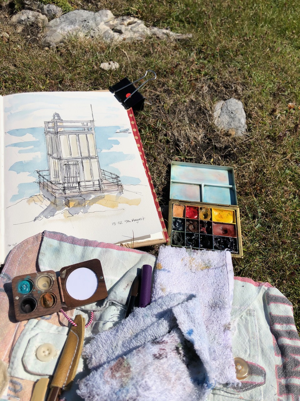
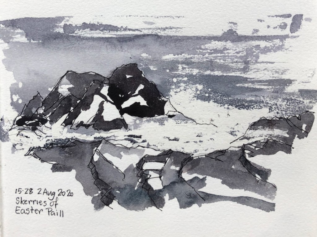
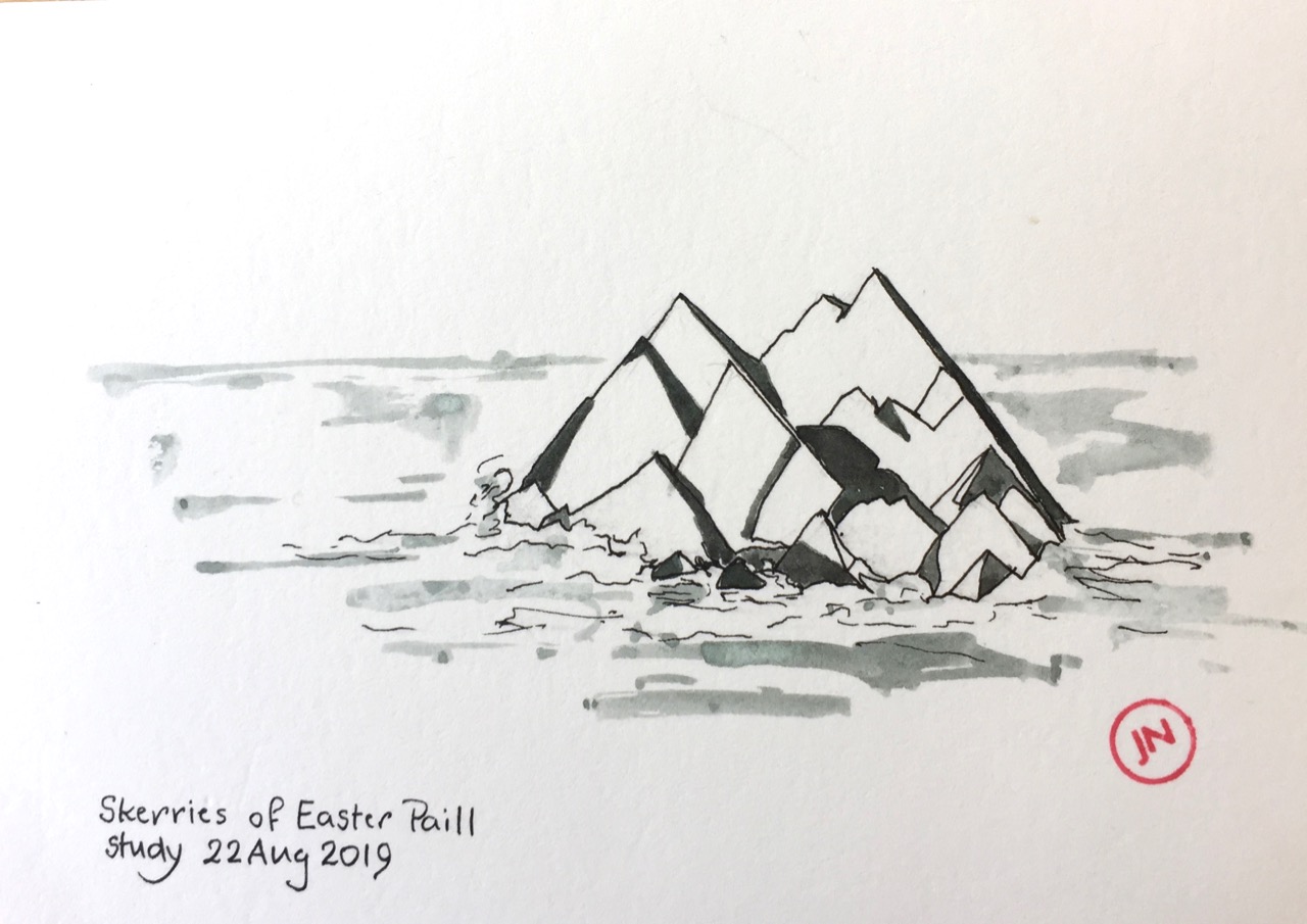
It was not a lighthouse like the one in your head. It looked a bit like a prop from a Dr Who episode of the 1960s, or perhaps some construction which had been assembled from assorted parts of IKEA flat-packs. But it was a lighthouse, beyond all doubt. I sat down and drew it.
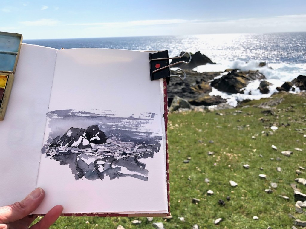
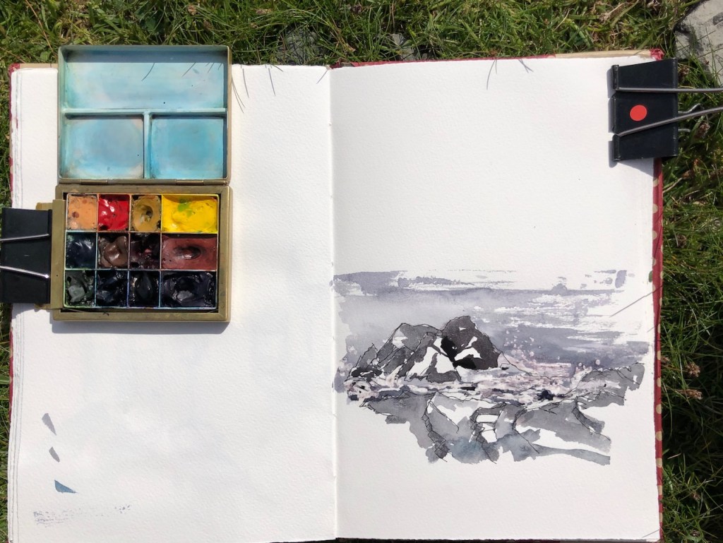
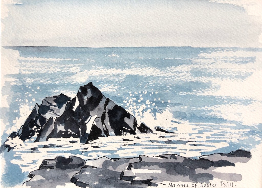
It was hard to find somewhere to sit down so that I could be sure that my art supplies were not going to take an impromptu roll down the slope and into the sea. There were a selection of rocks, none at quite the right angle. I chose the safest, and drew my picture.
Then I packed up my things and started on the long trek back.
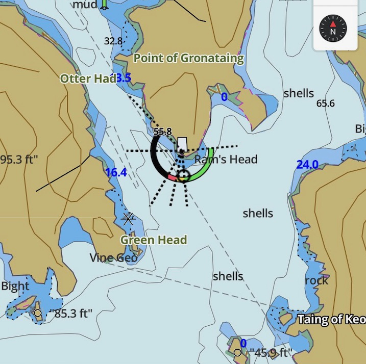
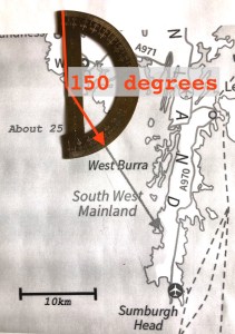
That evening a friend produced a useful coastal navigation guide, which informed me that this lighthouse was: “Fl.WRG8s16m9-6M”. We decoded this as: Flashing, White Red and Green, with an 8 second repeat, 16 metres above sea level, visible 6-9 nautical miles out at sea, on a good day. Anyone who is more familiar with the notation, please correct me if I have this wrong. I also found a map online.

From the fishing app: i-boating

 this. After all, he gave them very little, if anything for their catch. And the Icelanders would pay.








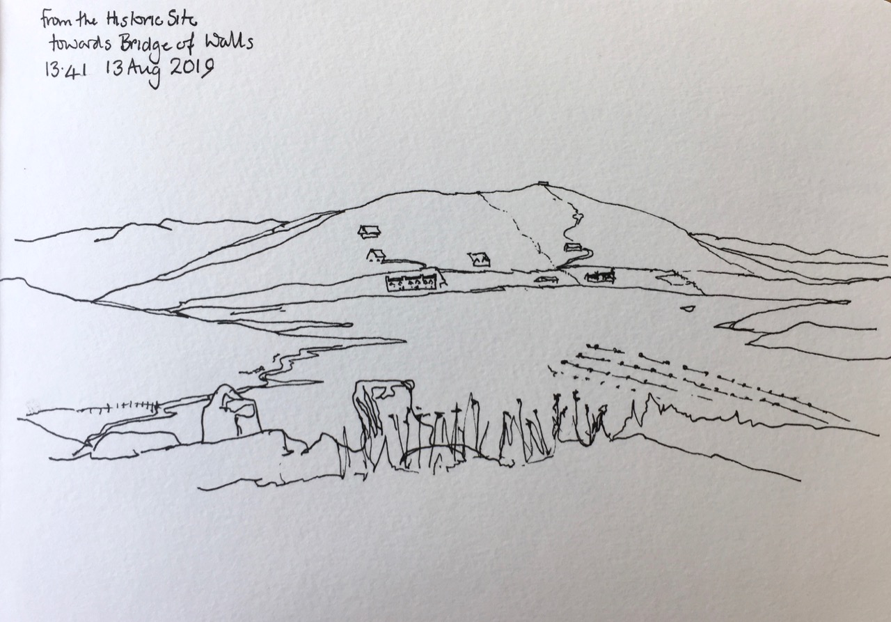
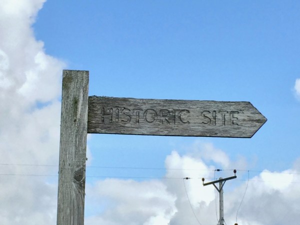 The wooden sign from the main road said “Historic Site”, and pointed up a small road that lead steeply uphill. I was on my morning run and felt energetic, so I set off up there, keen to see the Historic Site. In Shetland, Historic Sites are often at the top of hills.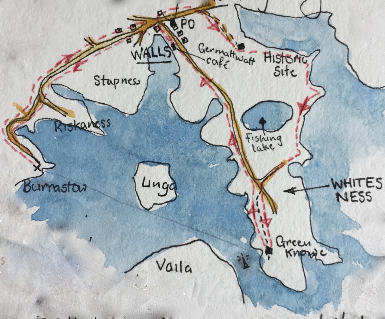


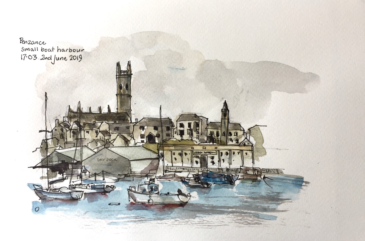


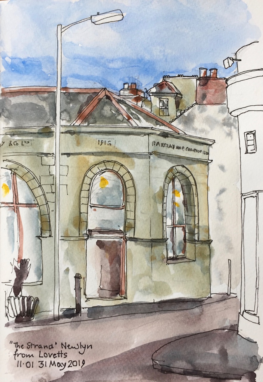
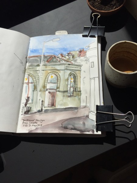 toast, and a good strong coffee in a pottery cup. This place opposite is labelled “Barclay and Son”, the name cut in stone in 1916. Now it is labelled “The Strand” in less durable lettering painted above the door. It sells a compendium of miscellaneous objects, furniture, crockery, badges, old ship bouys. Also outside are some flower pots. The coffee shop proprietor walked across the road to buy one for a small plant. She just left the coffee shop door open, me drawing at the window, while she did so. This is Cornwall.


 Jane Sketching