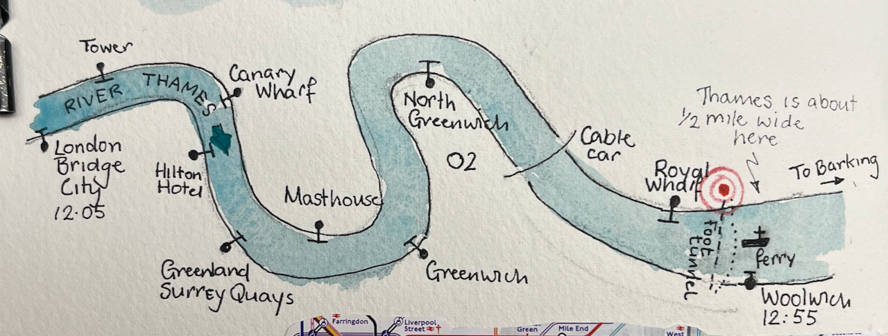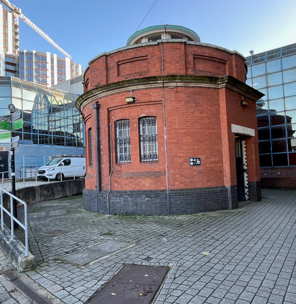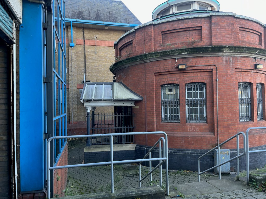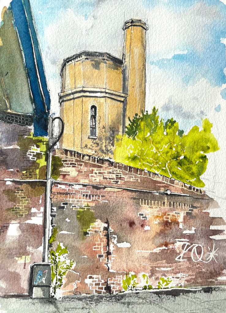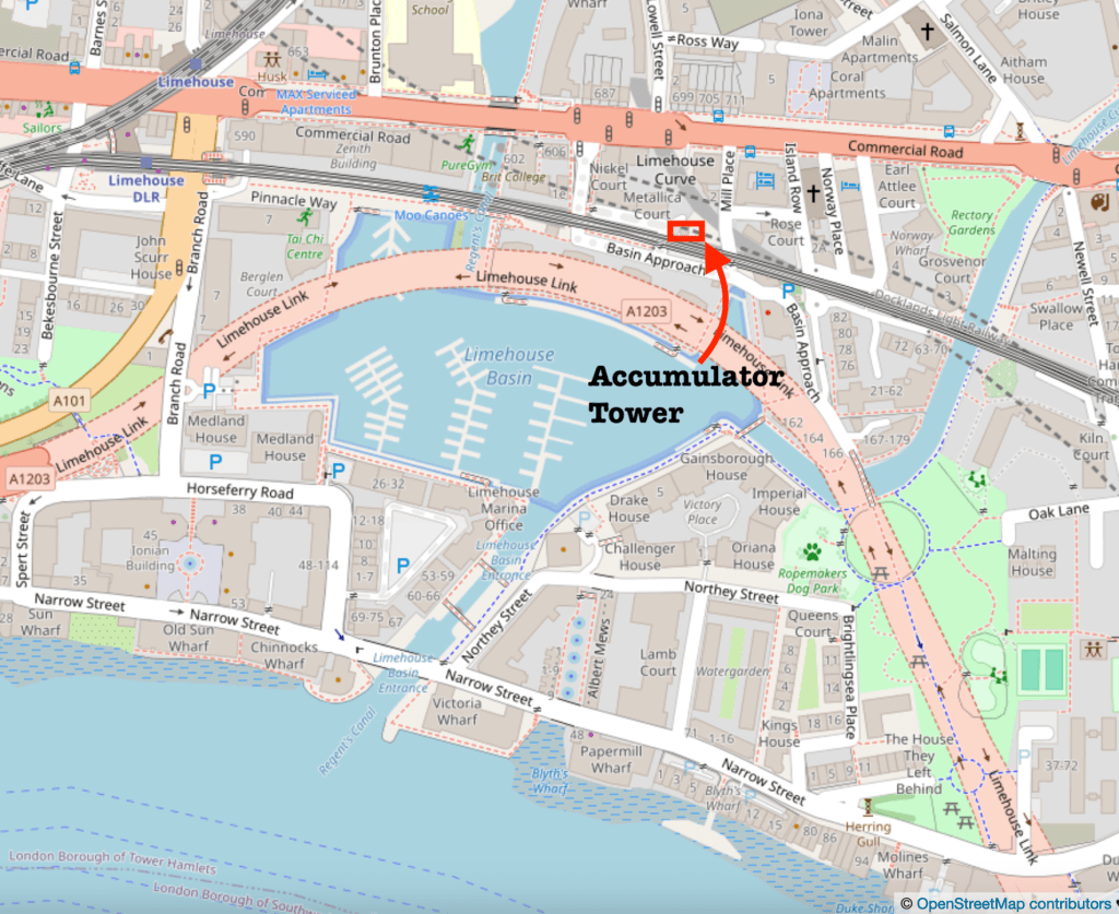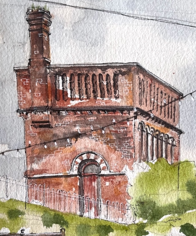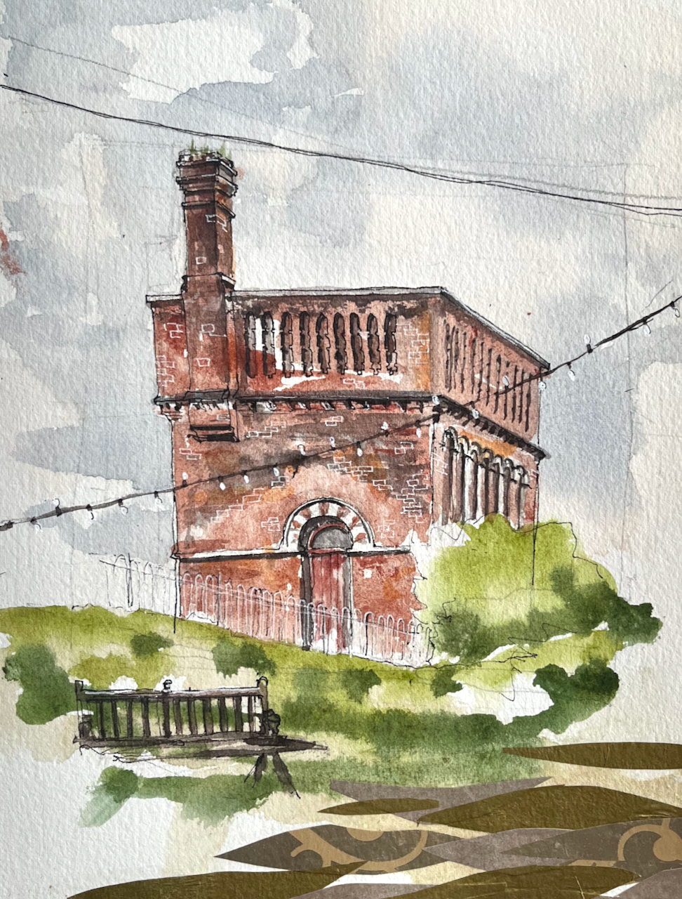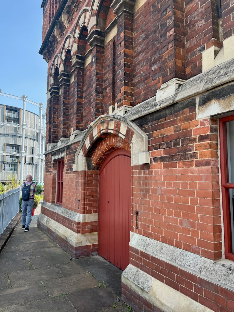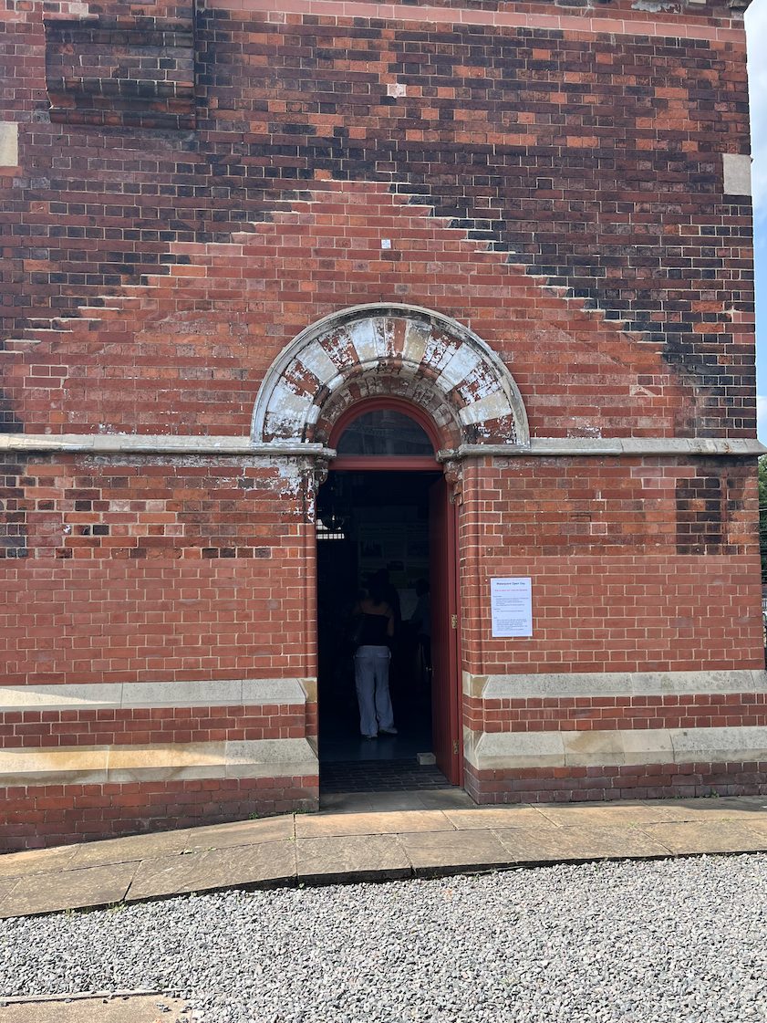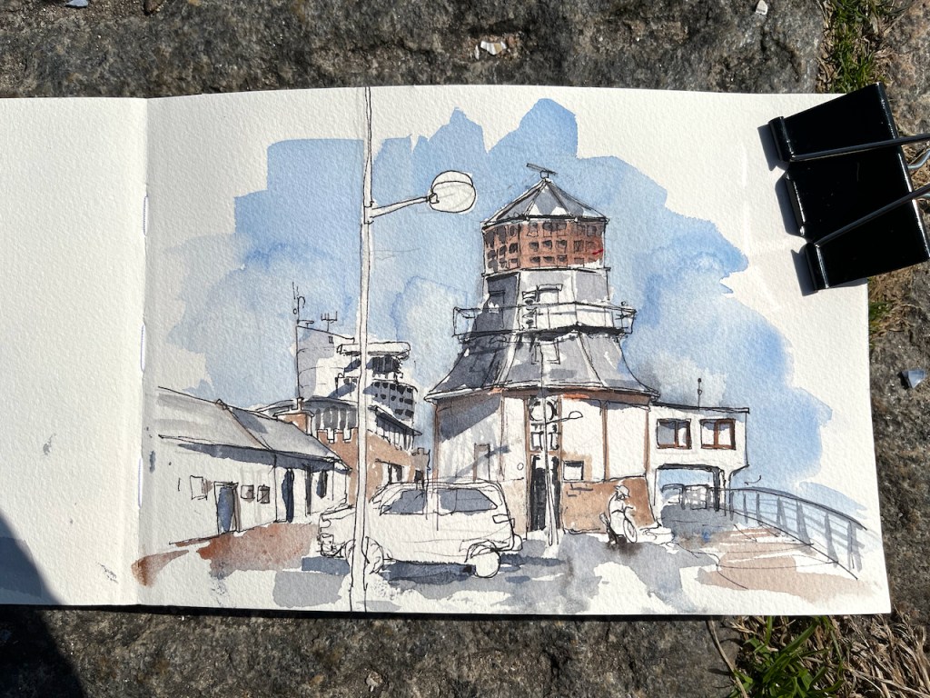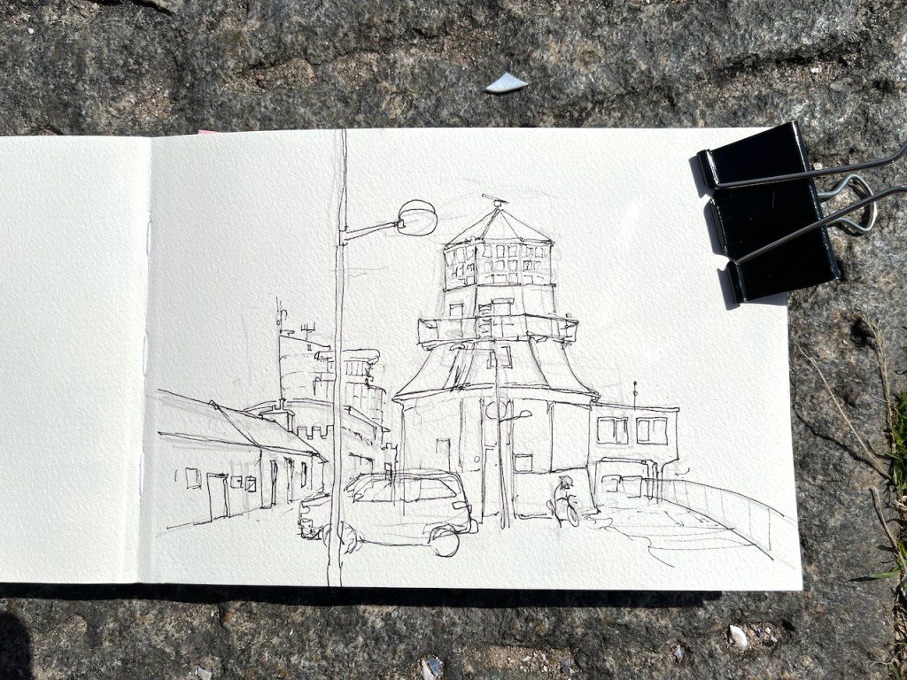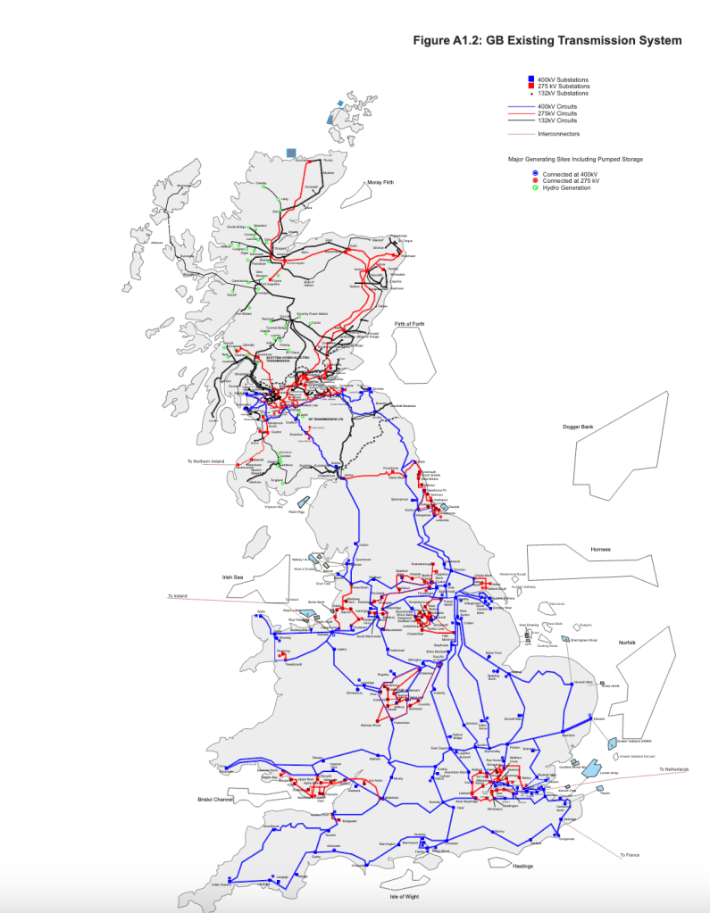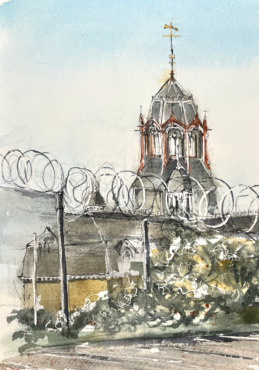
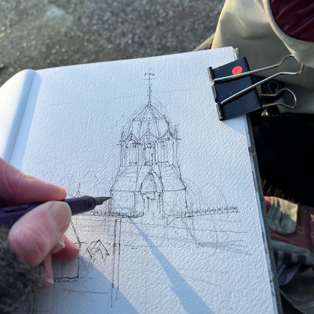
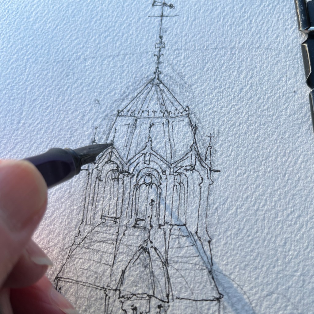
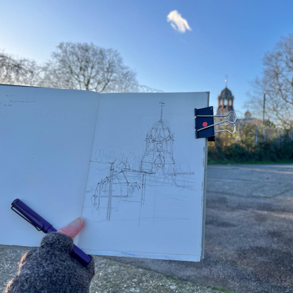
Here is Abbey Mills Pumping Station, seen from The Greenway.

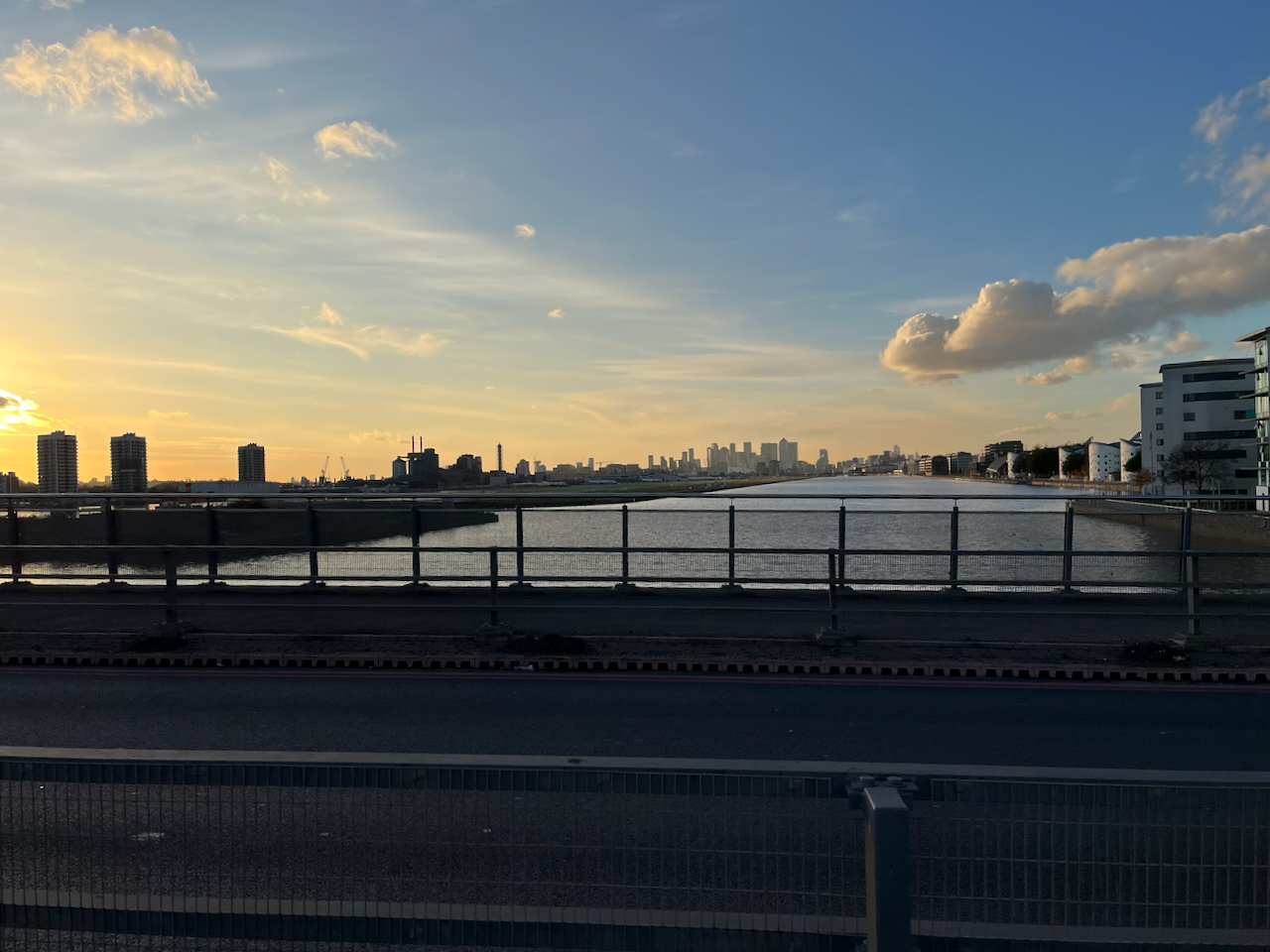
Abbey Mills is a sewage pumping station1. It lifts the sewage from lower level sewers, and pumps it 40 feet uphill to the Northern Outfall Sewer. The Greenway path is on top of the Northern Outfall Sewer.
This system was created by the visionary Victorian engineer Joseph Bazalgette (1819 – 1891). The pumping stations and the Northern Outfall Sewer are part of a grand construction of sewers and water management works instigated in the 1860s after the “Great Stink” of 1858. The problem of untreated sewerage being discharged into the Thames had been causing disease and bad smells for some time. When the smell and fear of disease affected Parliament, which is located next to the Thames, the government of the day took action.
“On 15 June Disraeli tabled the Metropolis Local Management Amendment Bill, a proposed amendment to the 1855 Act; in the opening debate he called the Thames “a Stygian pool, reeking with ineffable and intolerable horrors”. The Bill put the responsibility to clear up the Thames on the MBW [Metropolitan Board of Works], and stated that “as far as may be possible” the sewerage outlets should not be within the boundaries of London; it also allowed the Board to borrow £3 million, which was to be repaid from a three-penny levy on all London households for the next forty years.”
https://en.wikipedia.org/wiki/Great_Stink
So this loan, and the 3d levy on Londoners was used in 1865 to construct the pumping stations and a new sewerage system.
The Victorian sewers are still in use, and are now gradually being upgraded by Thames Water.2 According to the video on their site, the Northern Outfall Sewer constructed by Bazalgette’s team is being left in place. Thames Water are pushing a lining into it, made of 21st century materials. They reckon this will last another 100 years. 3
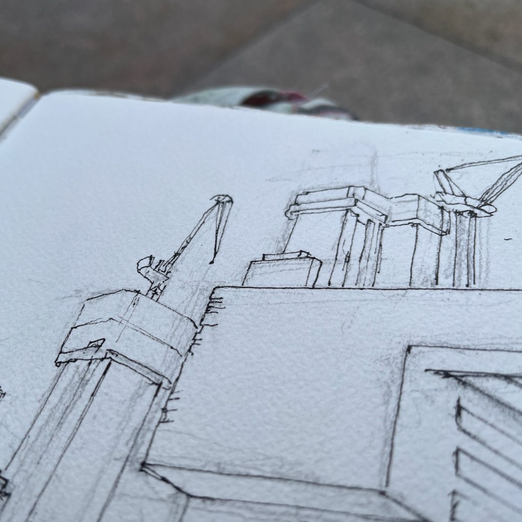
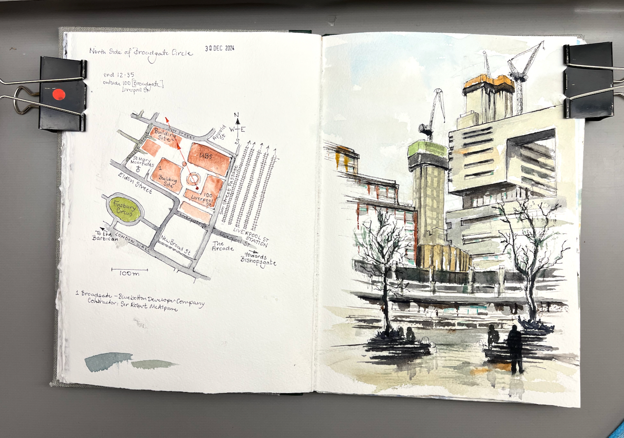
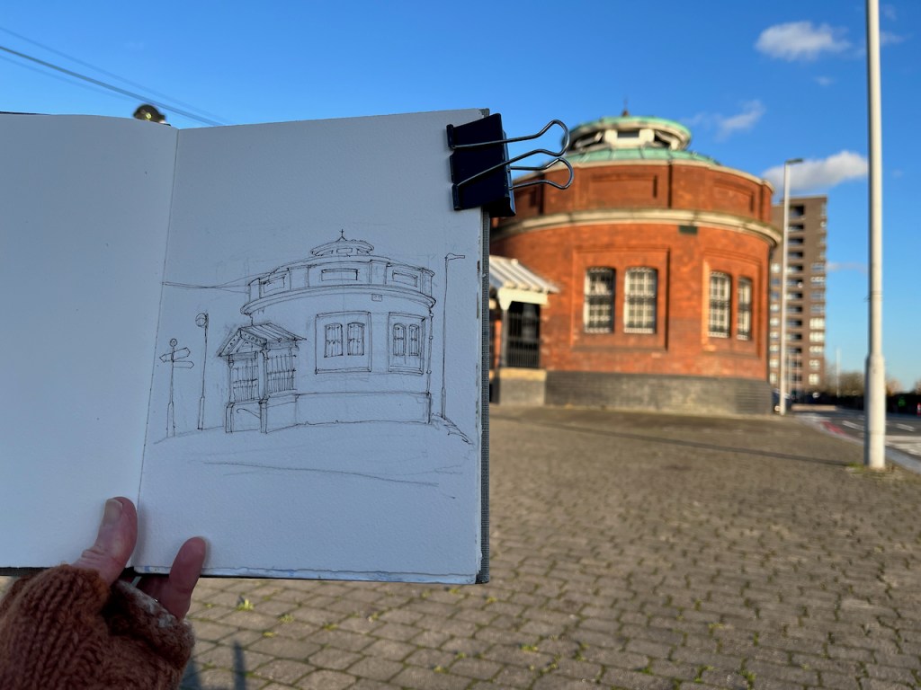
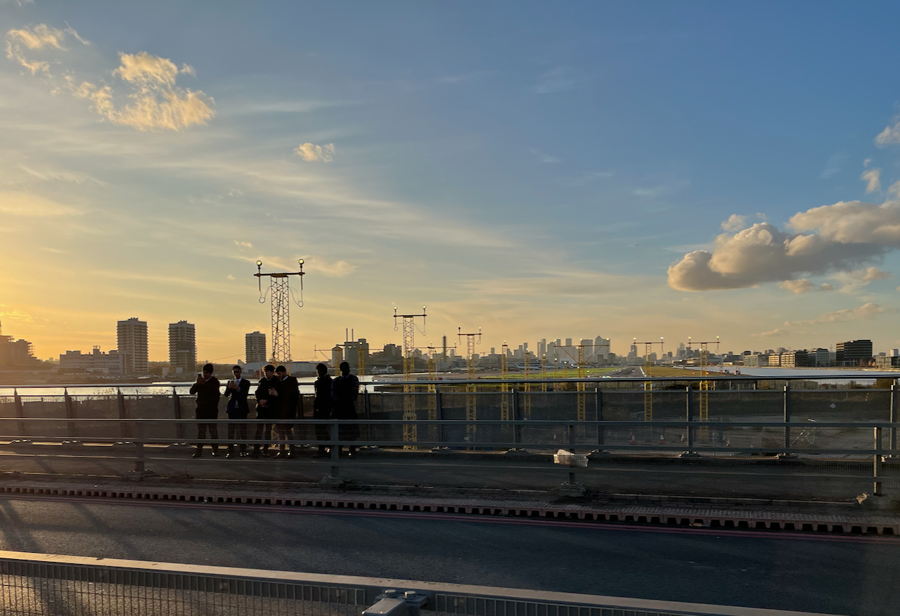
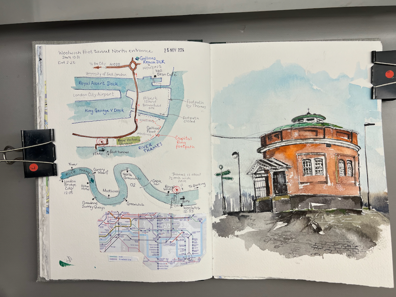
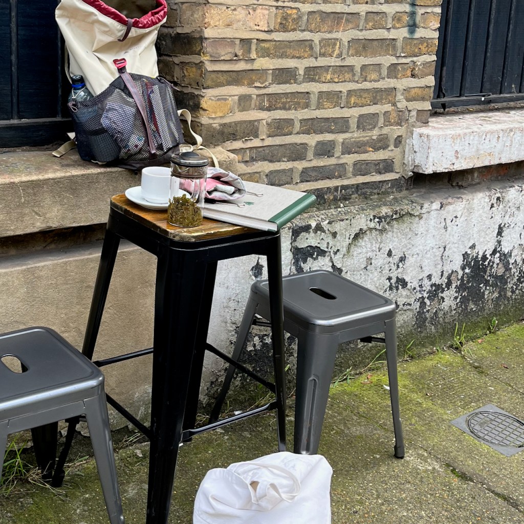
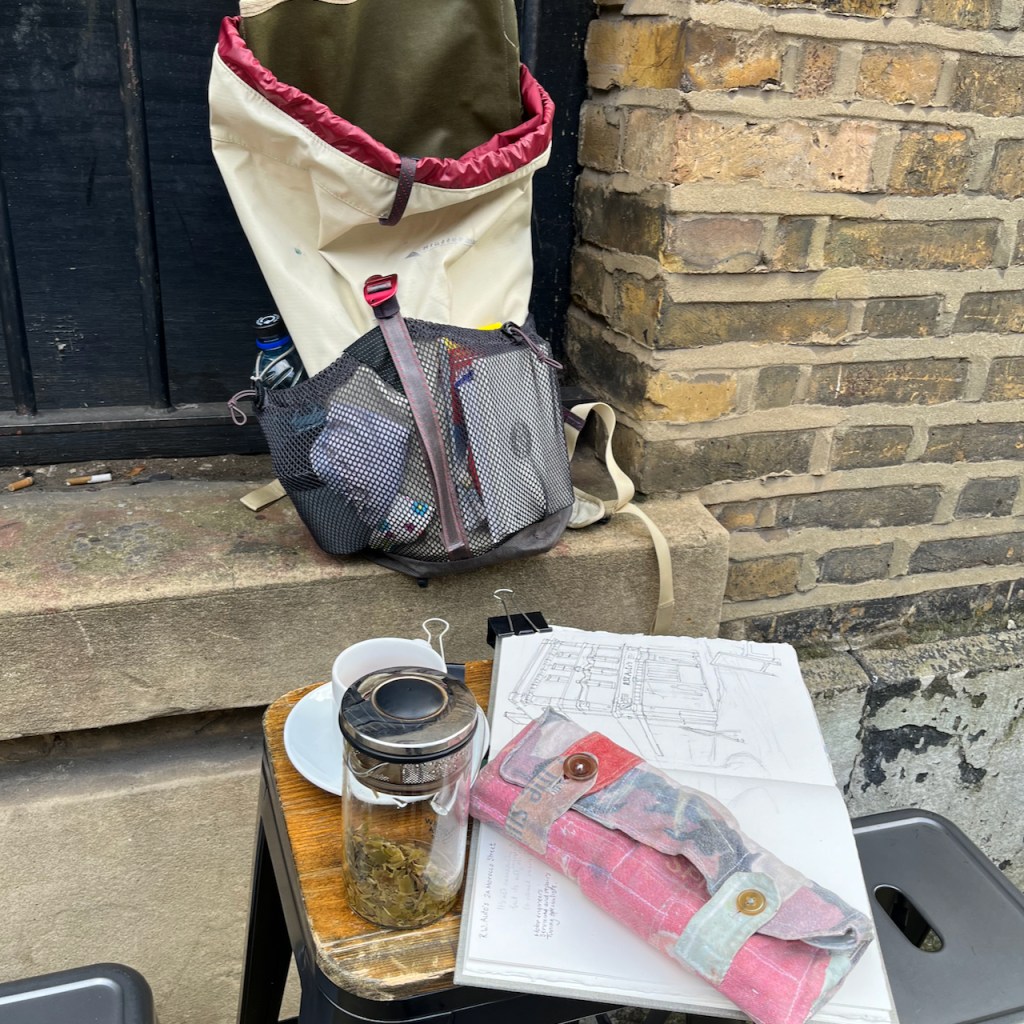
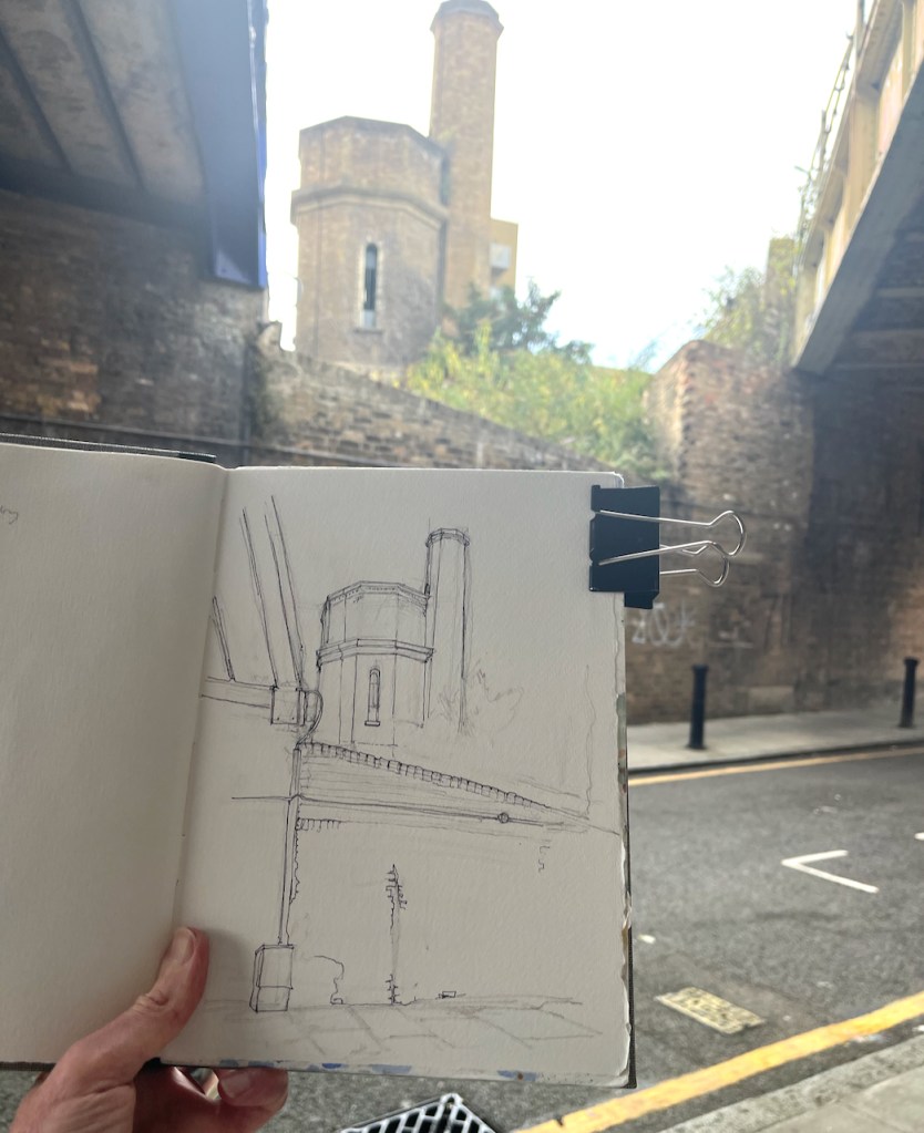
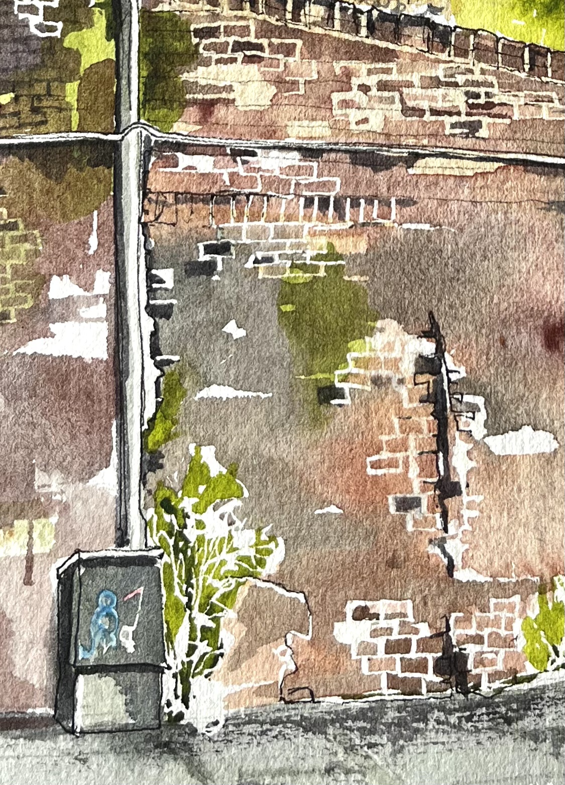
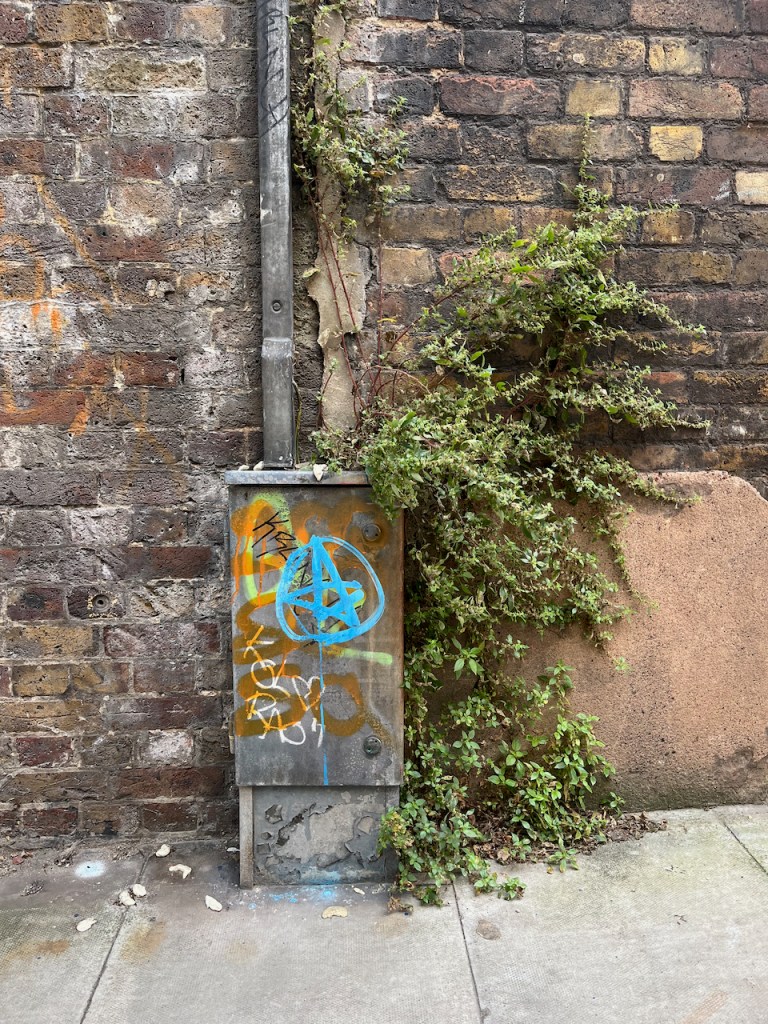
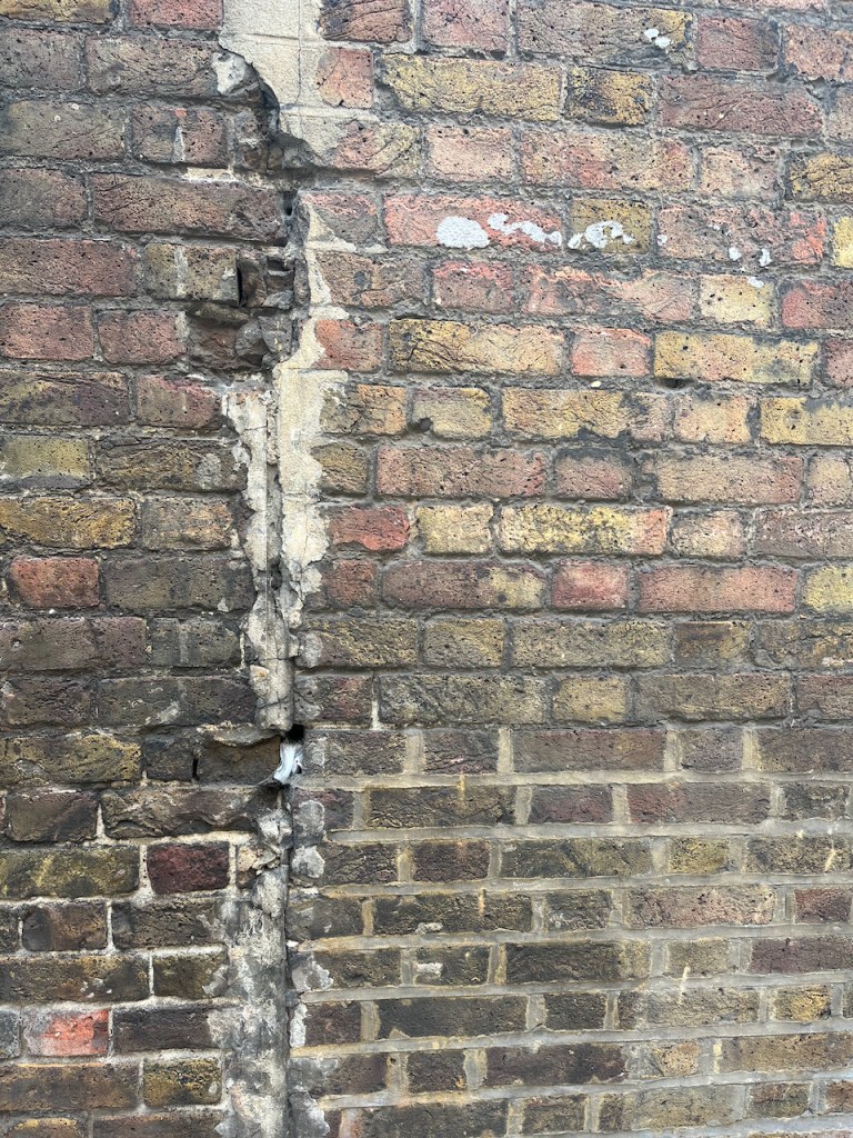
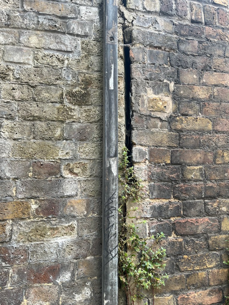
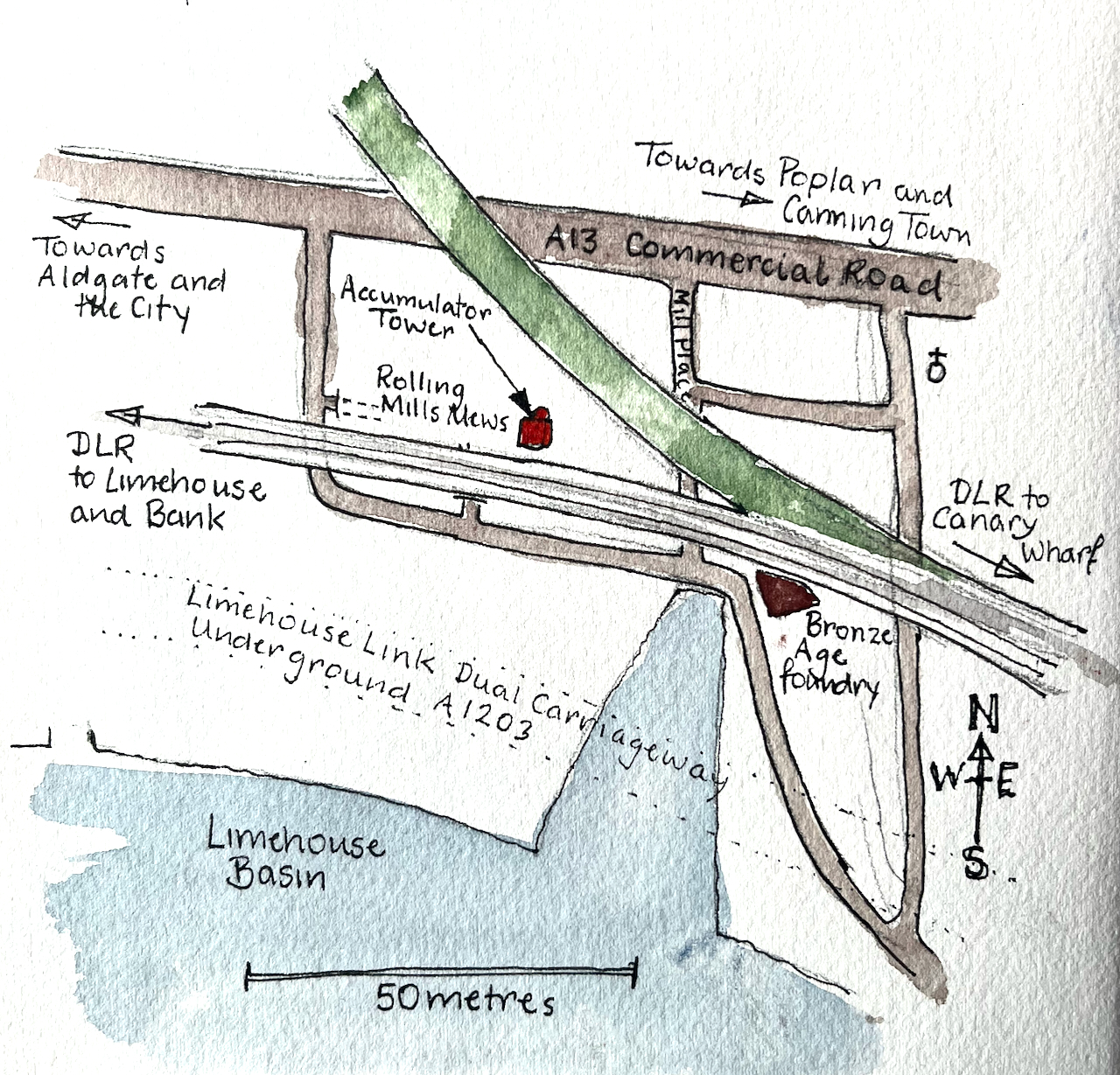
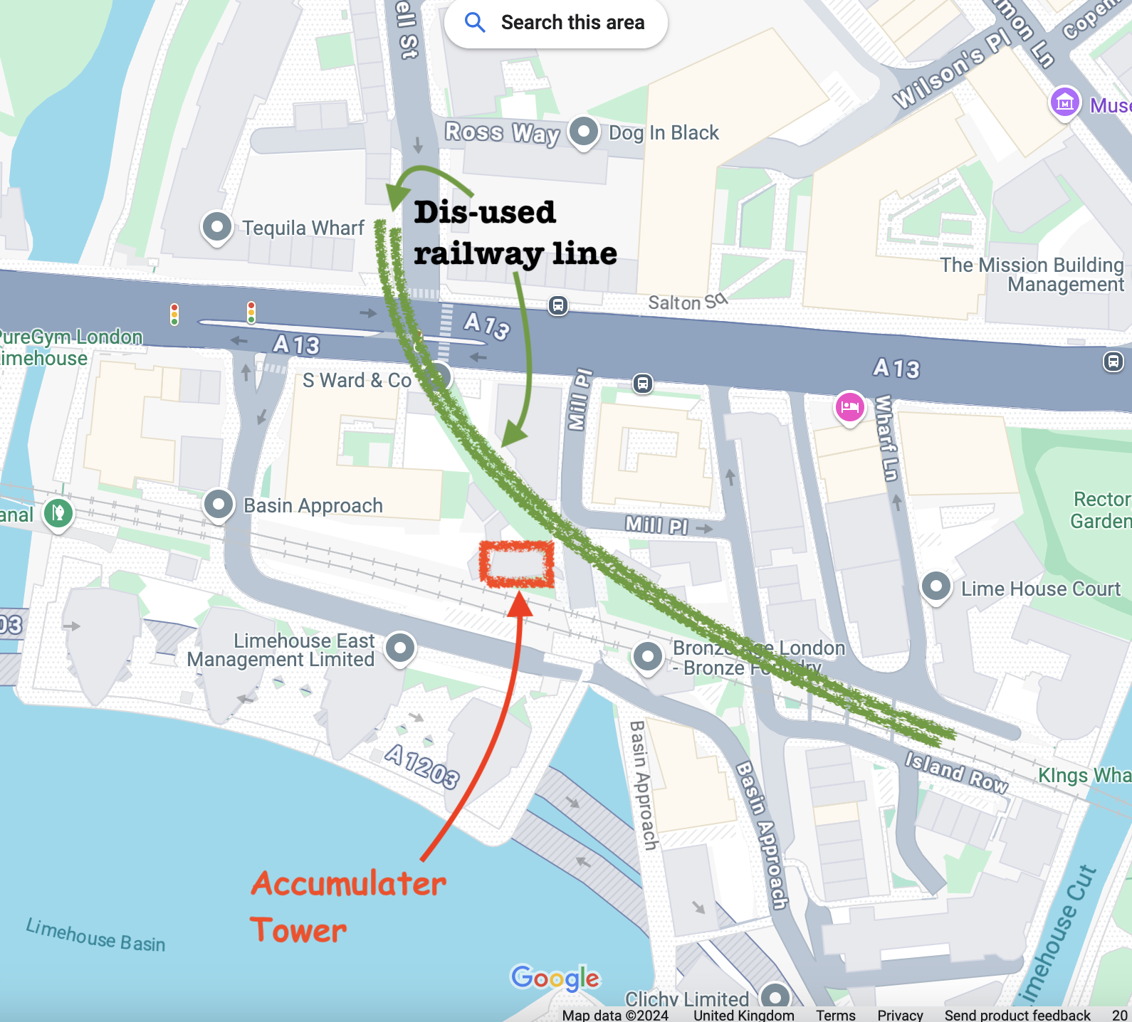
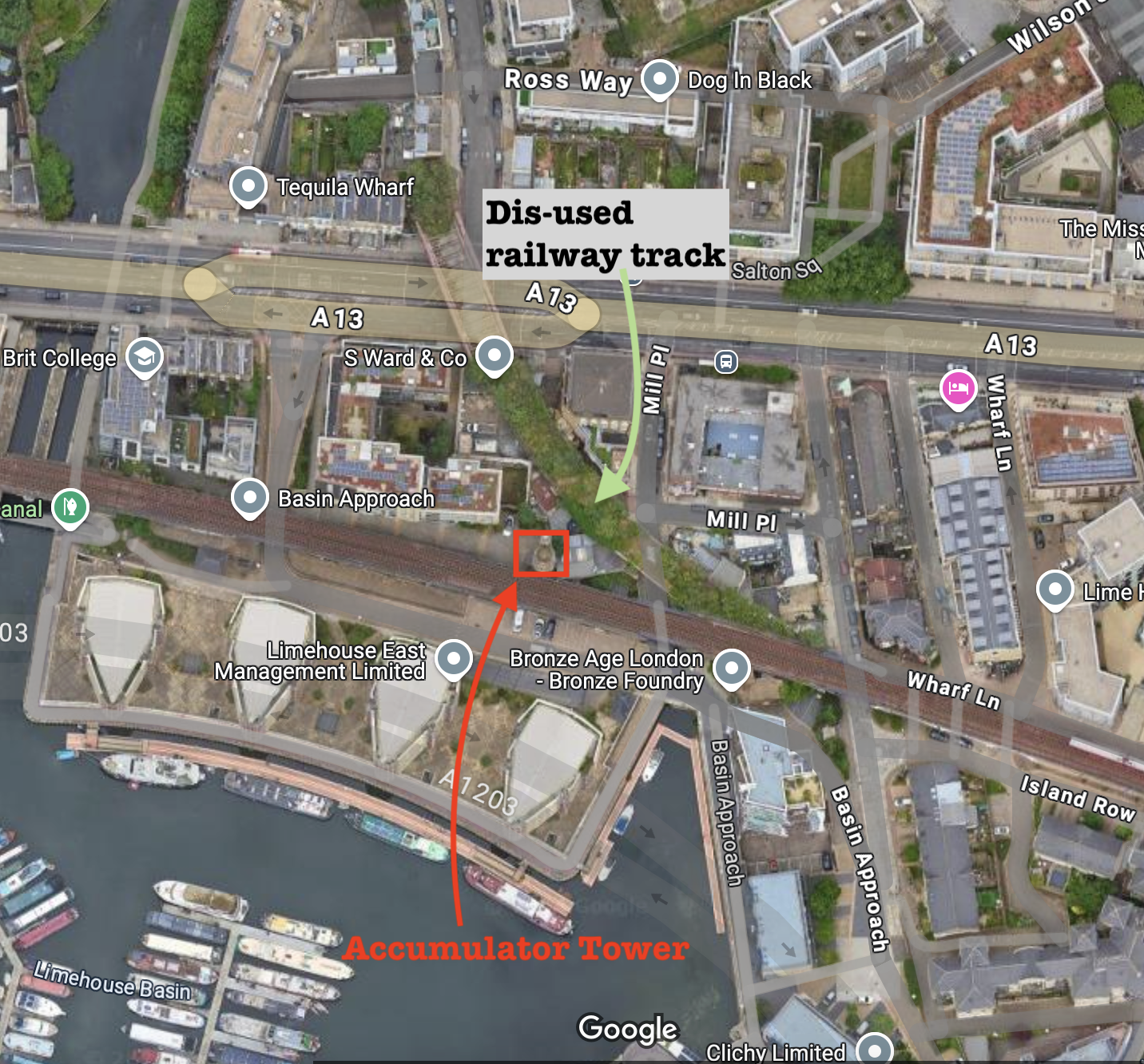
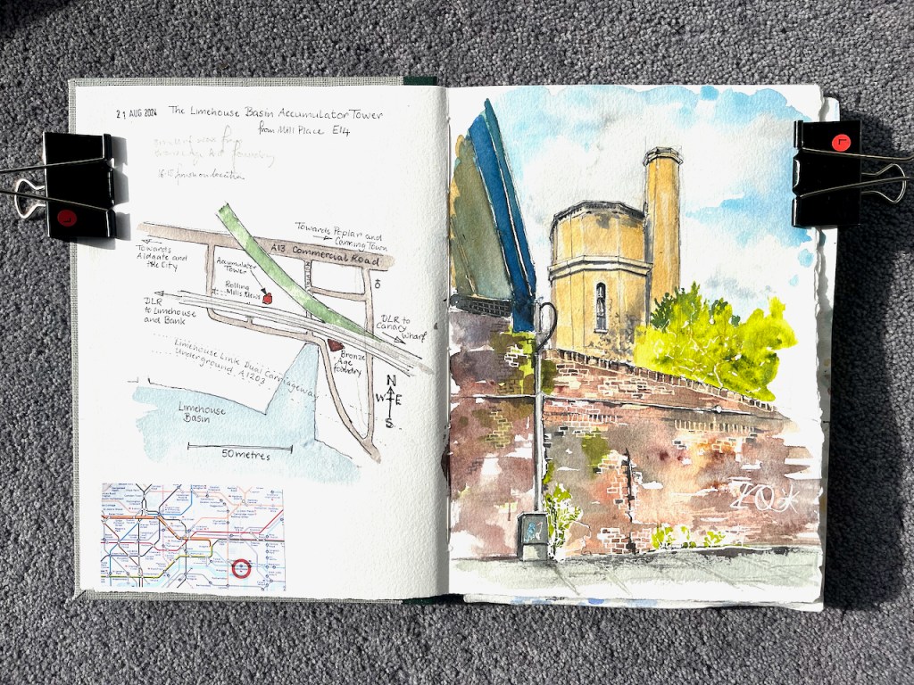
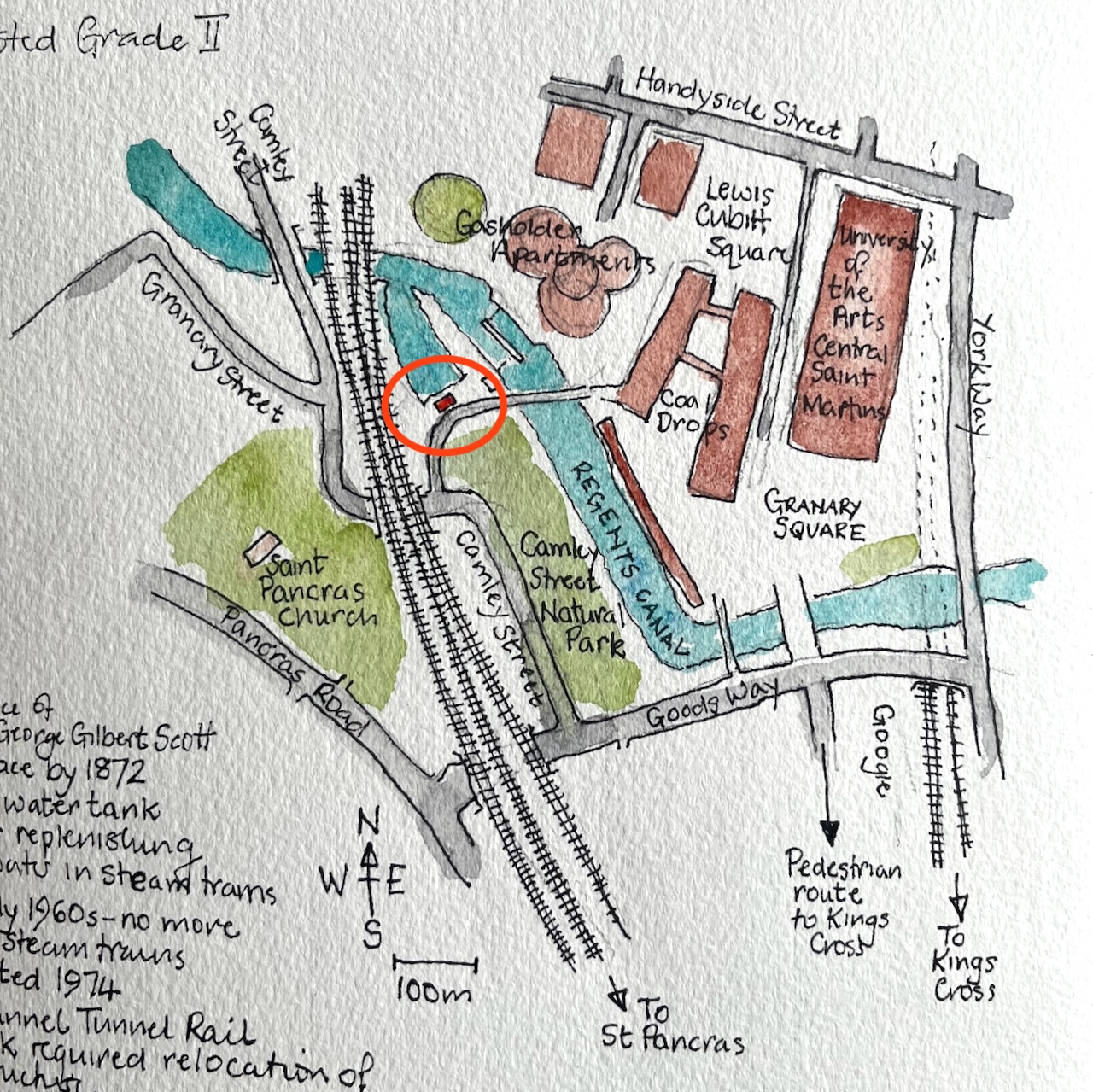
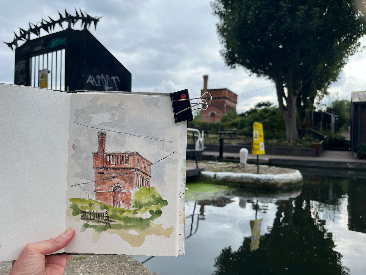
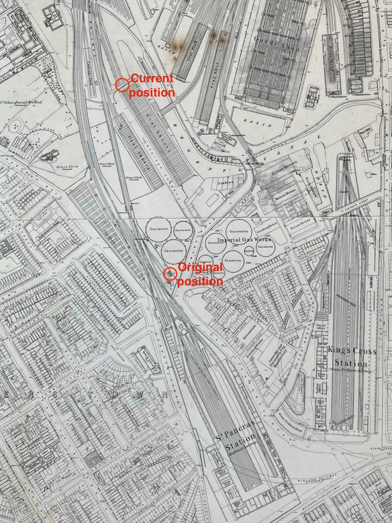
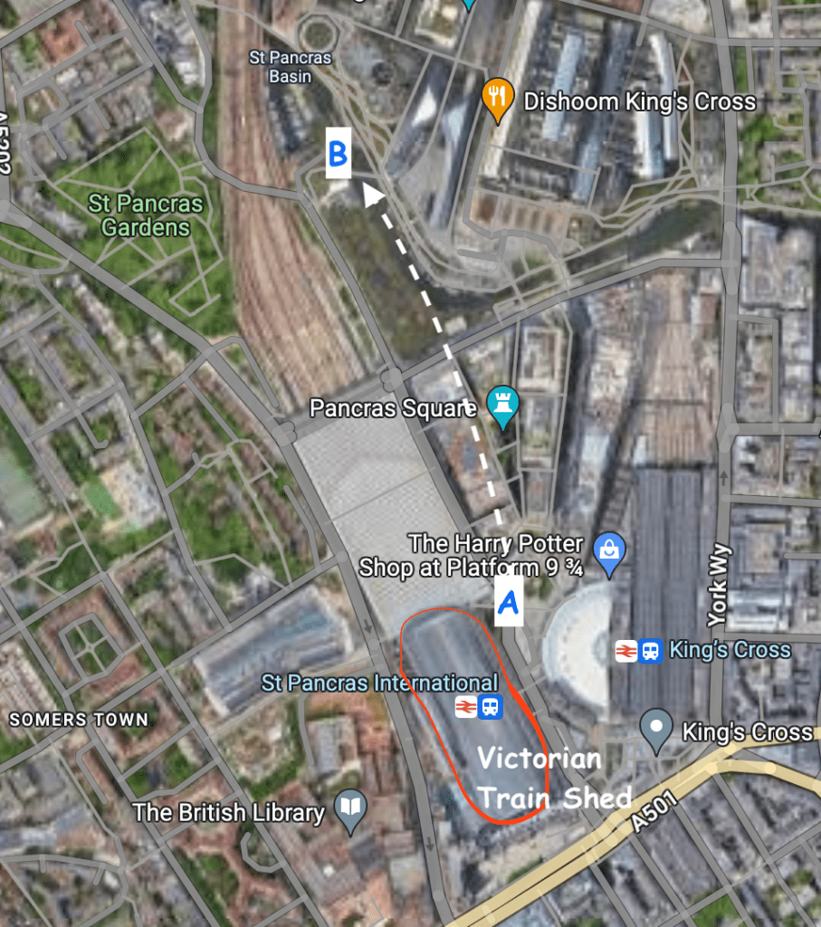
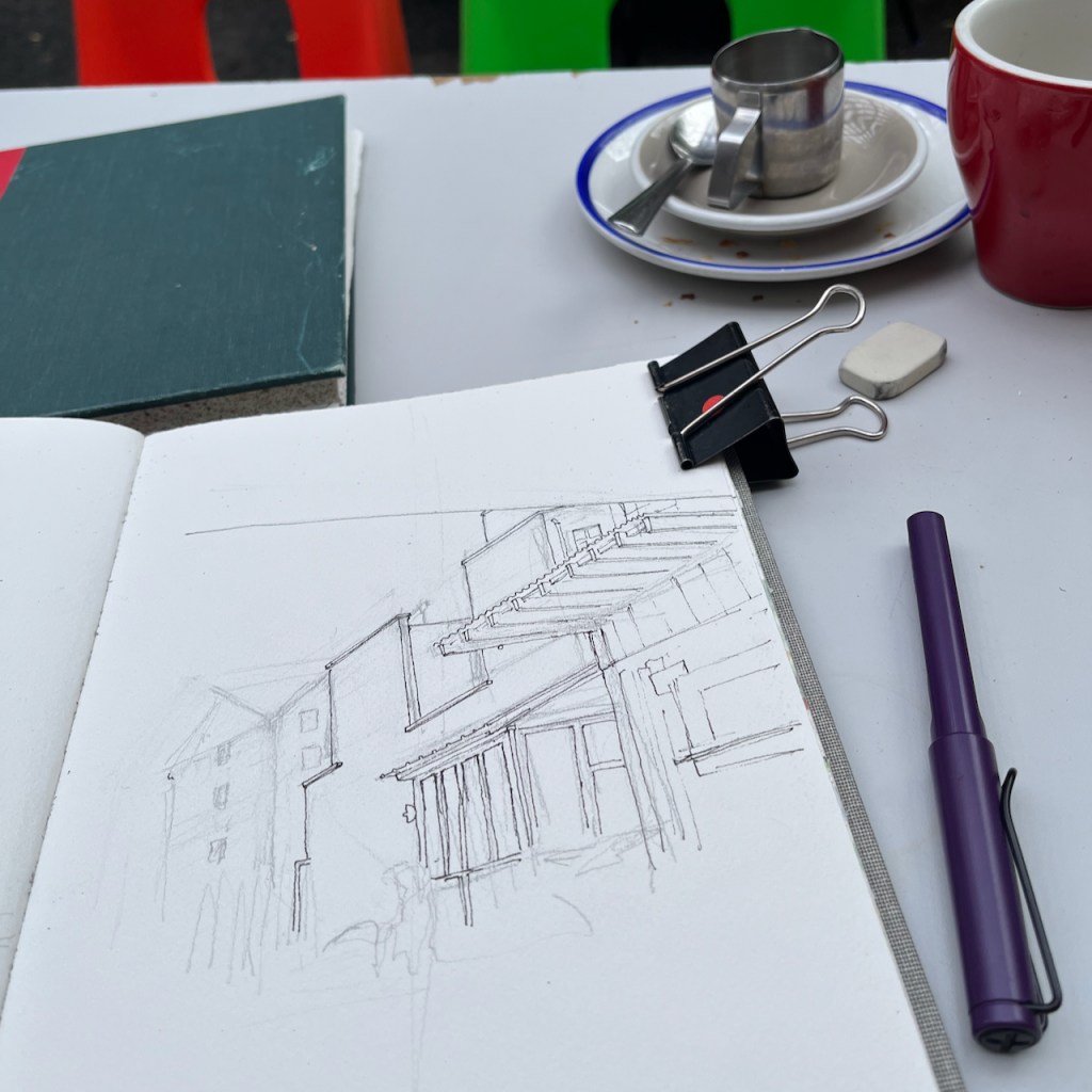
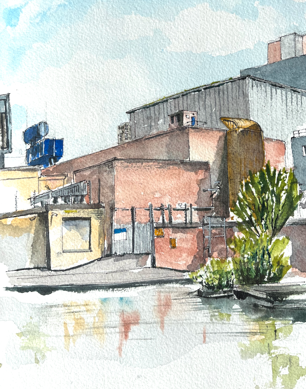
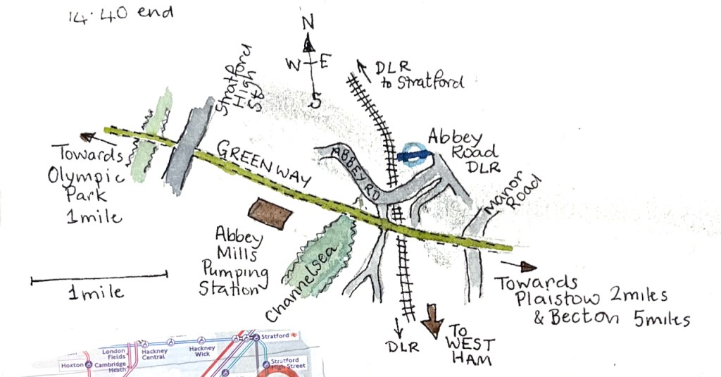
I sketched Abbey Mills Pumping Station while exploring the Greenway from Hackney Wick to Becton.

The Greenway is a well-used pathway and running route. While I was sketching, a wiry grey-haired runner stopped to chat. He was a cheerful person, sharing my enthusiasm for the transformation of Hackney Wick. He had much praise for the improvements in London, specifically on air quality. Air quality is much better, he said. “I no longer get asthma,” he told me, “even though I still run!” He surveyed the clean path and the view, ” Thank you Sadiq!” he exclaimed. Sadiq Khan is the Mayor of London, and has introduced and supported air quality improvement measures such as the congestion charge and the Ultra-Low Emission Zone (ULEZ).
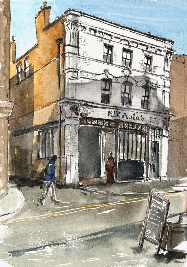
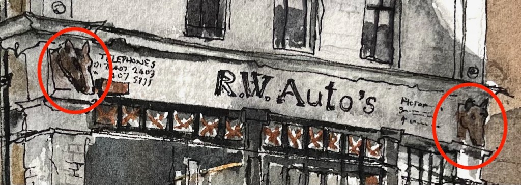
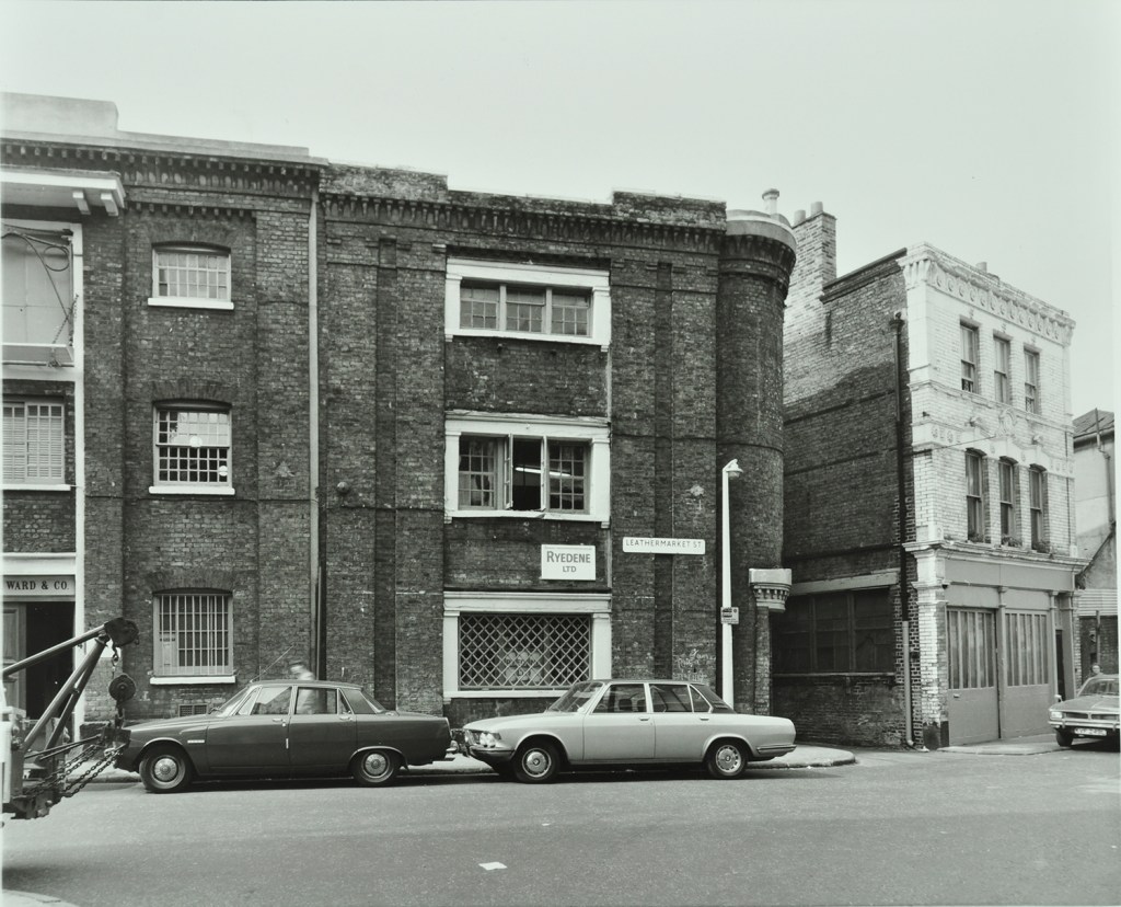
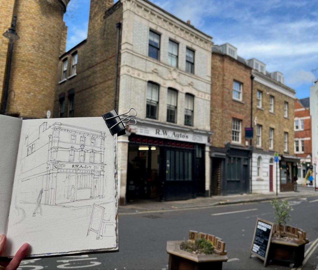
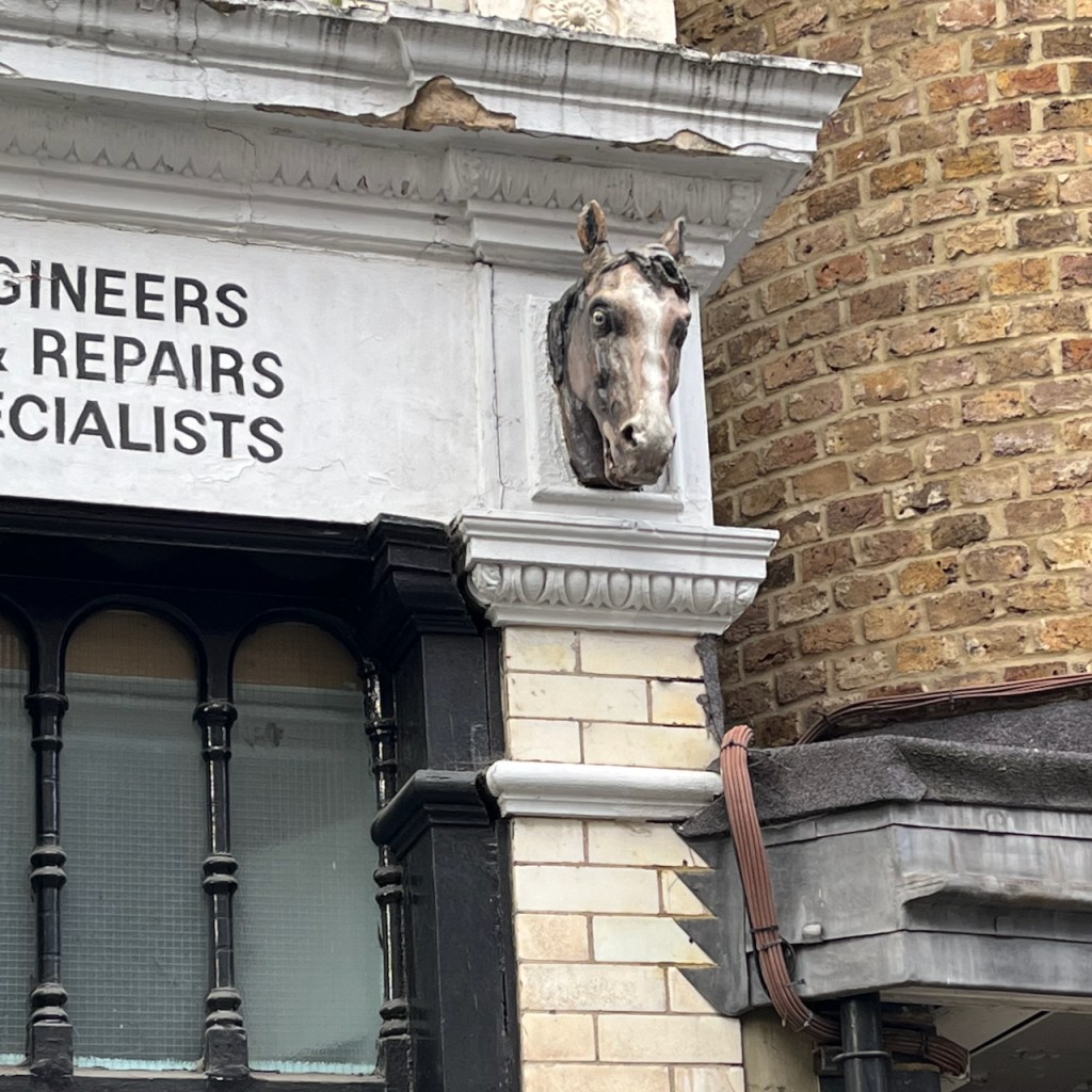
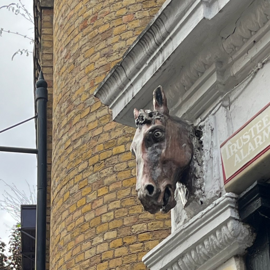
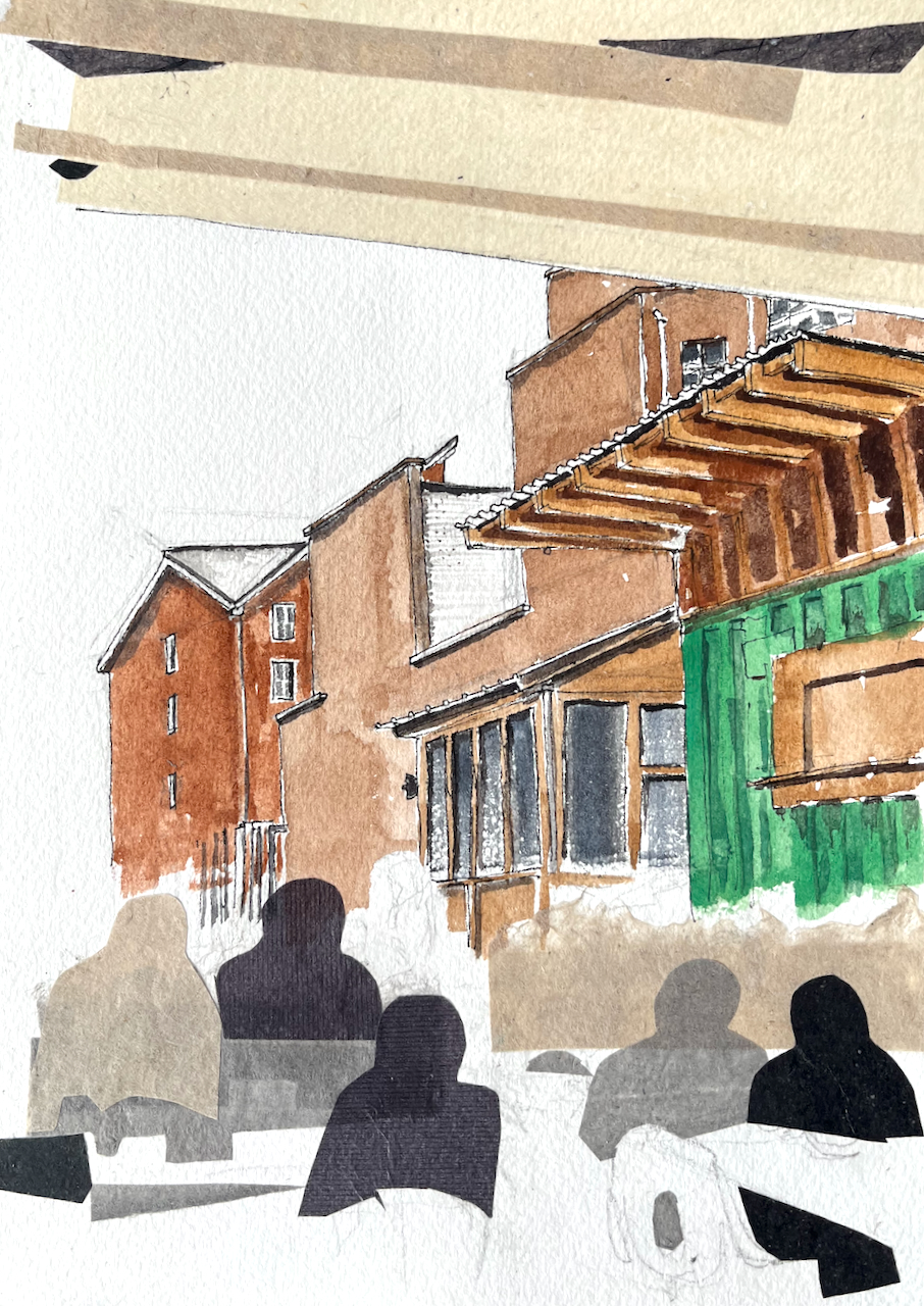
My new friend had been a skip-truck driver. He’d worked everywhere, he told me. Constructing the Olympic Park had been a big job. Examining my sketchbook, he saw the sketch of Fournier Street. “I recognise that!” he said. And then, looking closer, “There’s an Express Dairy depot just up the street.”
If you know Fournier Street, you will know that this seems extremely unlikely. Fournier Street is in a residential area, somewhat densely packed, and apparently not a place for a goods yard of any type. However he seemed sure, and I didn’t contradict him. I thought he might have mistaken the location: there are a lot of Georgian terraces in London.
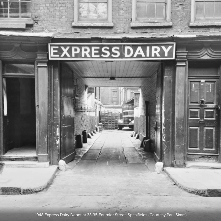
When I was back at my desk I did a search4. Sure enough, just a few houses along from my sketch, there had been an Express Dairy Depot, just as he said. It’s shown in the “history” section of the Express Dairy site. The London Picture Archive shows it. I should not have doubted him. The wide entrance is still there.
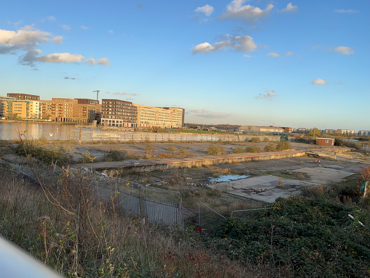
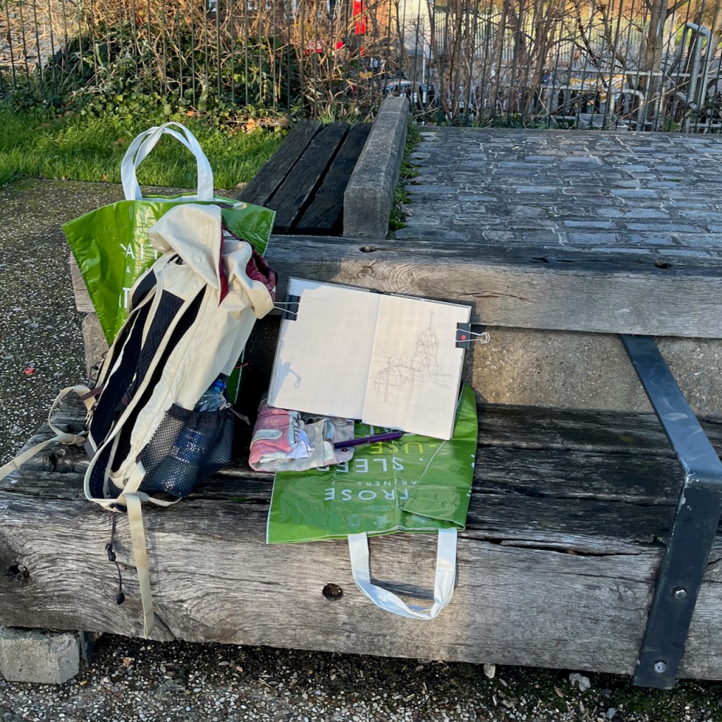
I completed the ink sketch on location and then packed up to continue my walk. I still had a good 3 miles to go and it was getting dark, and cold.
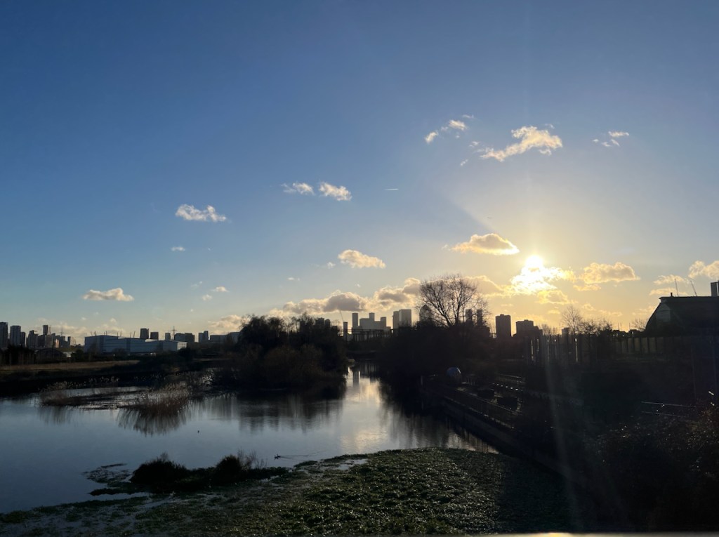
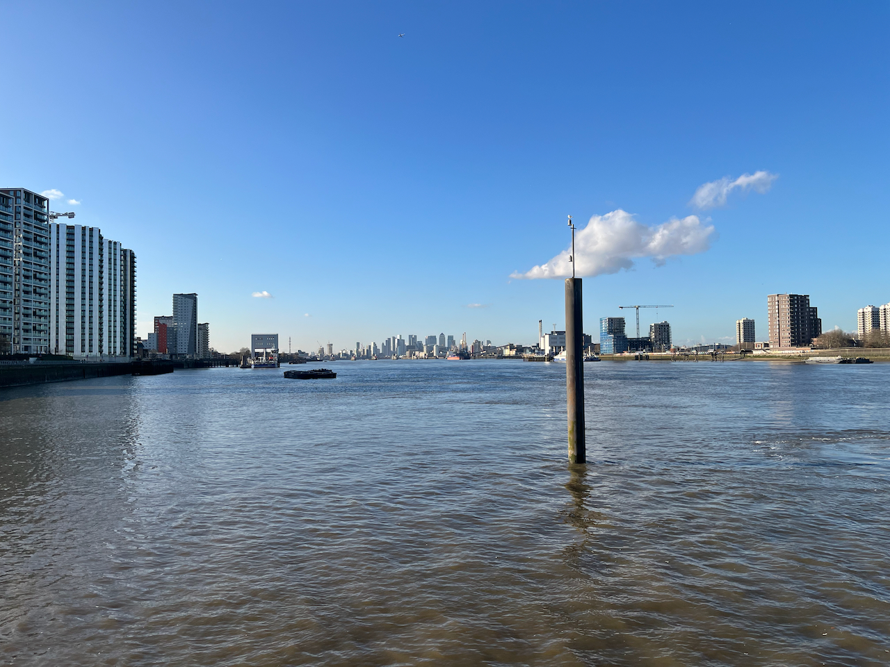
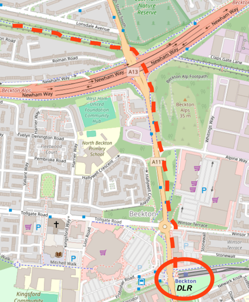
It was dark when I reached Beckton. I left the Greenway as it crossed the A13.
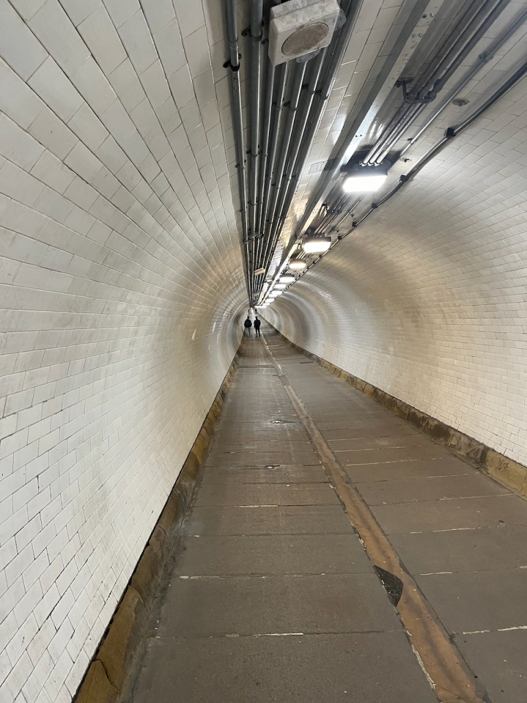
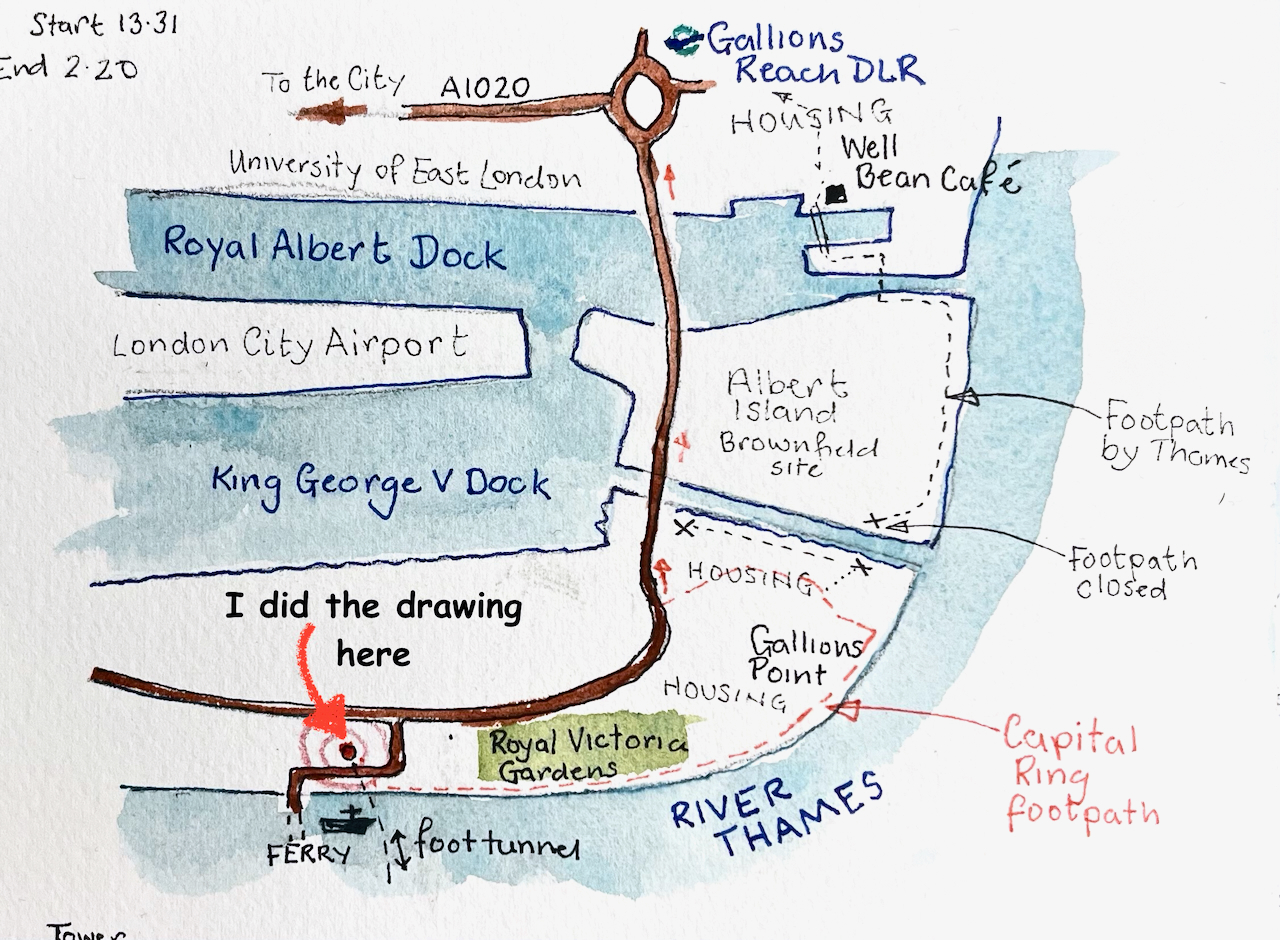
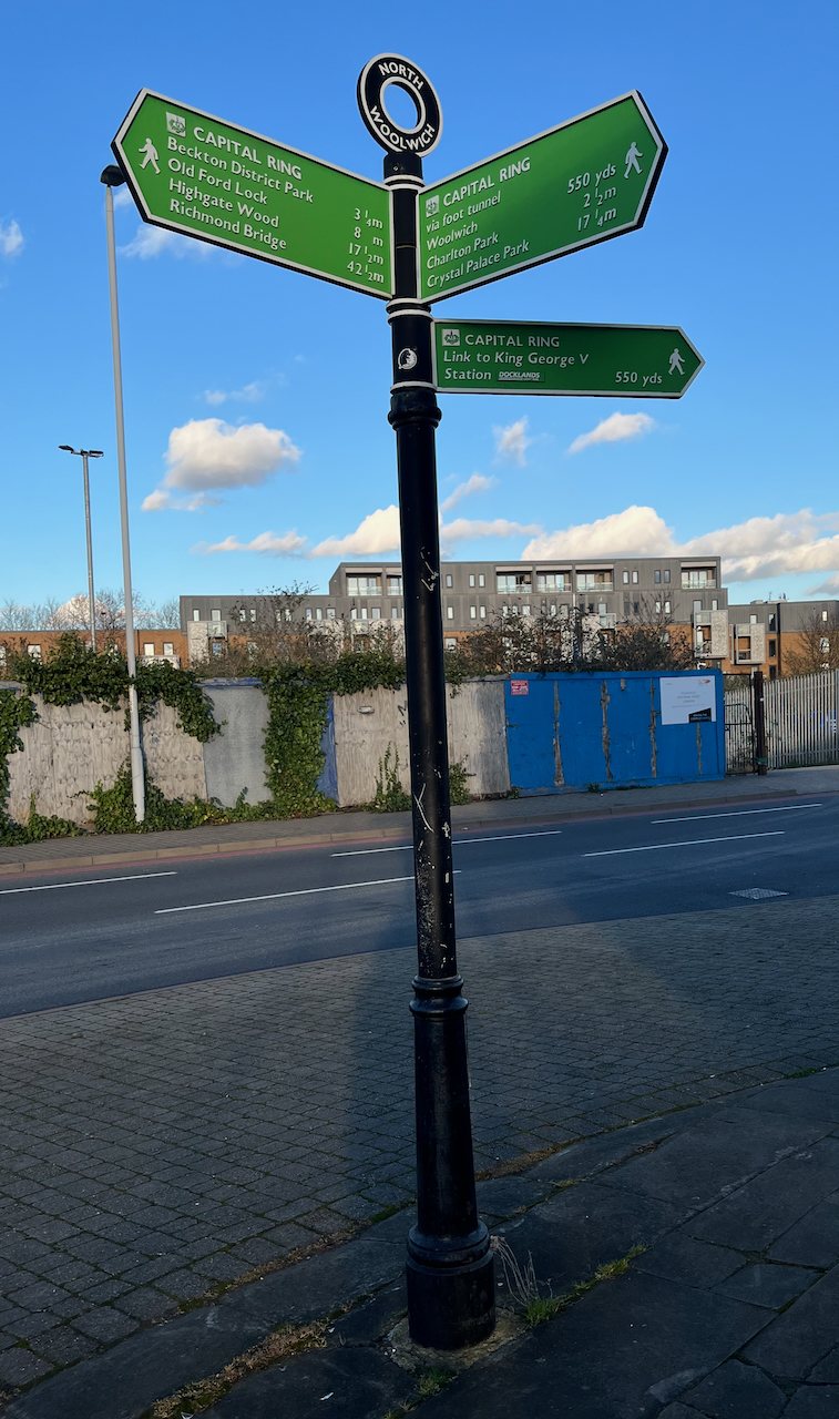
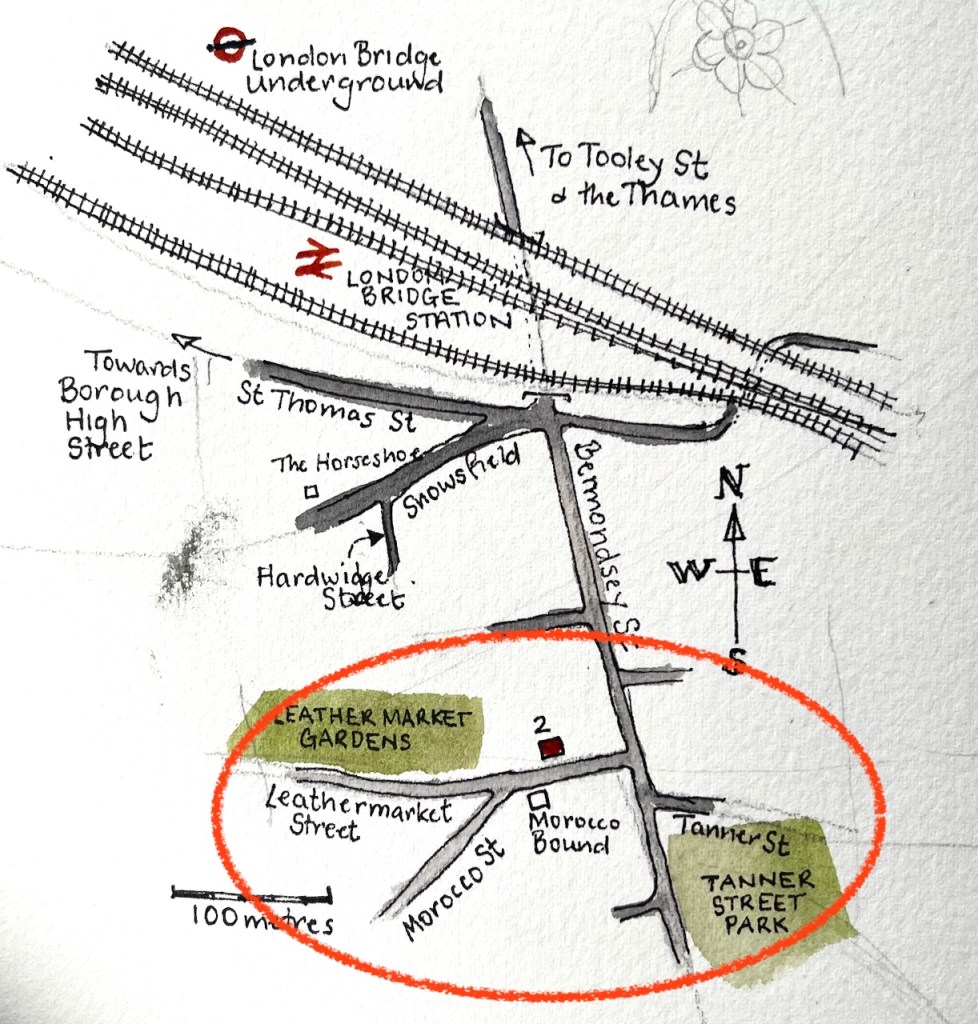
If you’d like to follow my route along the Greenway, in the file below is my idiosyncratic description of the route and my walk. The below file is 6 pages printable pdf. The Greenway is part of the Capital Ring, a long-distance walking route.
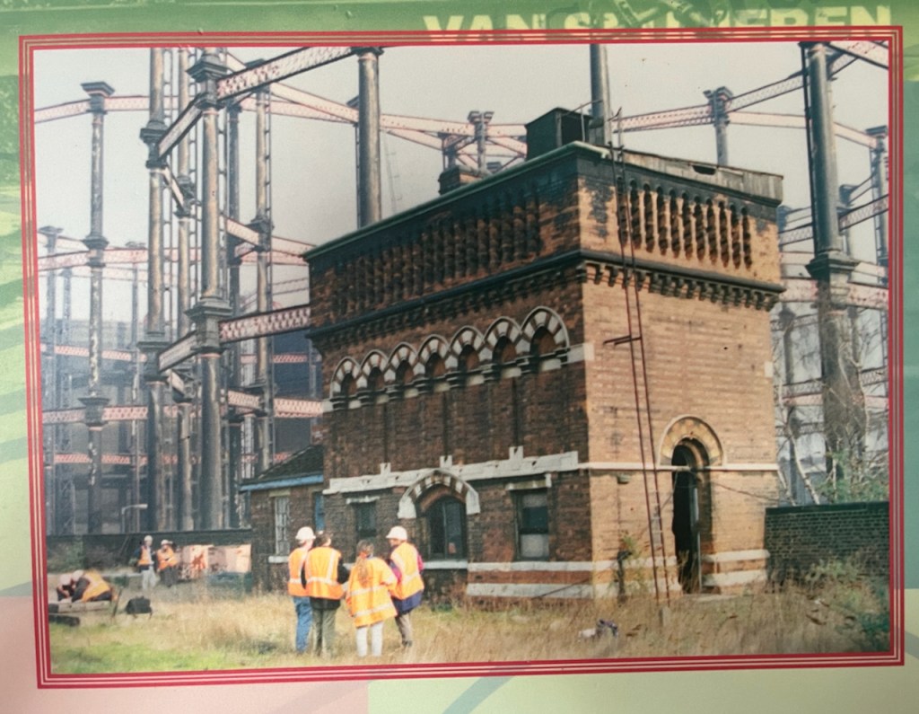
- Abbey Mills is a working Pumping station and not open to individual visitors. It is open to groups from time to time. The organisation “Subterranea Britannica” was invited for such a visit in 2012, which they wrote up in their journal Subterranea, Issue 30. The article describing their visit is by Martin Williams and Alex Lomas. See this link:
https://www.subbrit.org.uk/sites/abbey-mills-pumping-station/
↩︎ - Major £70million upgrade to Stratford’s Victorian sewer system
Press release from Thames Water: Tuesday 17 January 2023 13:09.
https://www.thameswater.co.uk/news/70million-stratford-sewer-upgrade
“A giant Victorian sewer in East London is being upgraded as Thames Water continues its investment in infrastructure across the capital.
The UK’s largest water and wastewater company is investing £70million over the next three years to upgrade the Northern Outfall Sewer and ensure its pipes are resilient for future generations.
The sewer, which serves over 4 million people, runs from Wick Lane to Beckton Sewage treatment works, the largest in Europe. ….”
↩︎ - YouTube video “on Tap” from Thames Water, describes the work being done in 2023 to upgrade the Northern Outfall Sewer. It also contains great photos of the inside of Abbey Mills Pumping Station, and amazing aerial views of the Greenway.
https://youtu.be/d628Y0dh2sA ↩︎ - The Express Dairy depot in Fournier Street is shown in a photo on the Express Dairy site.
https://expressdairytales.uk/ed-retail-london-and-south-1974-and-before
1948 Express Dairy depot at 33-35 Fournier Street. Photo by Paul Simm.
and
London Picture Archive
https://www.londonpicturearchive.org.uk/view-item?i=121843&WINID=1735932557537
1955 view of the same premises. ↩︎