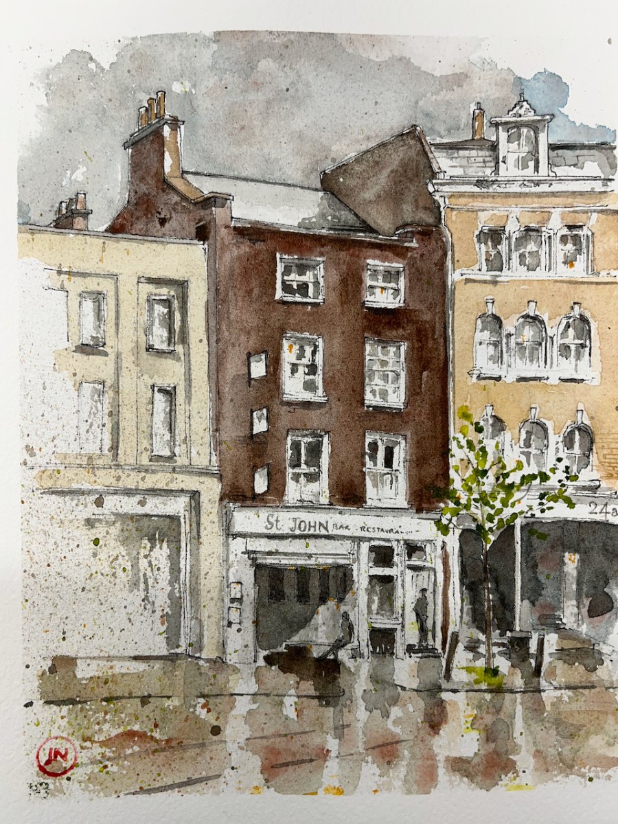
6 St Chad’s Place – Jamboree WC1X

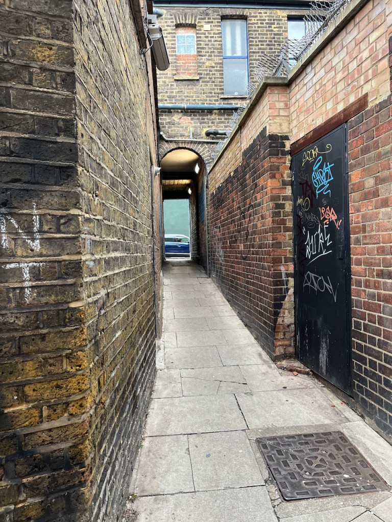
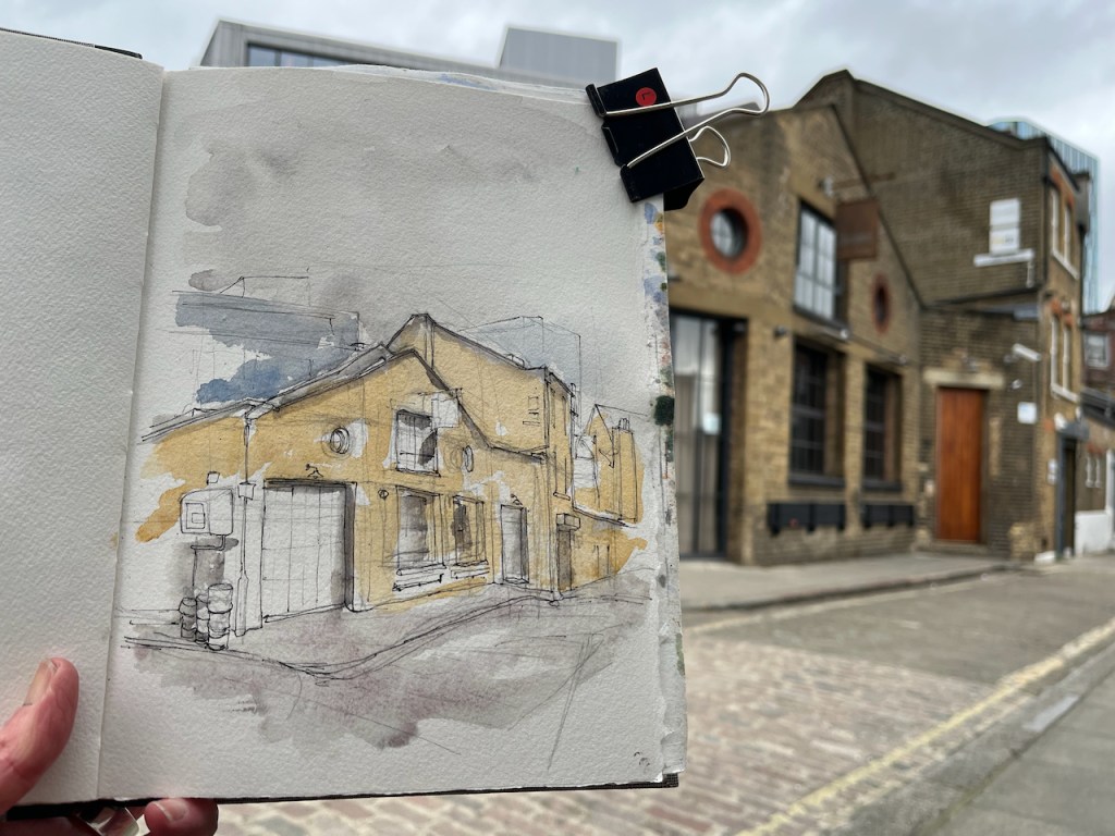
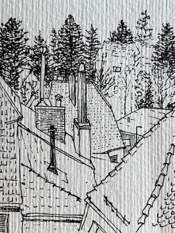
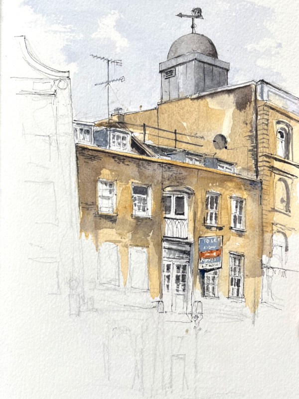
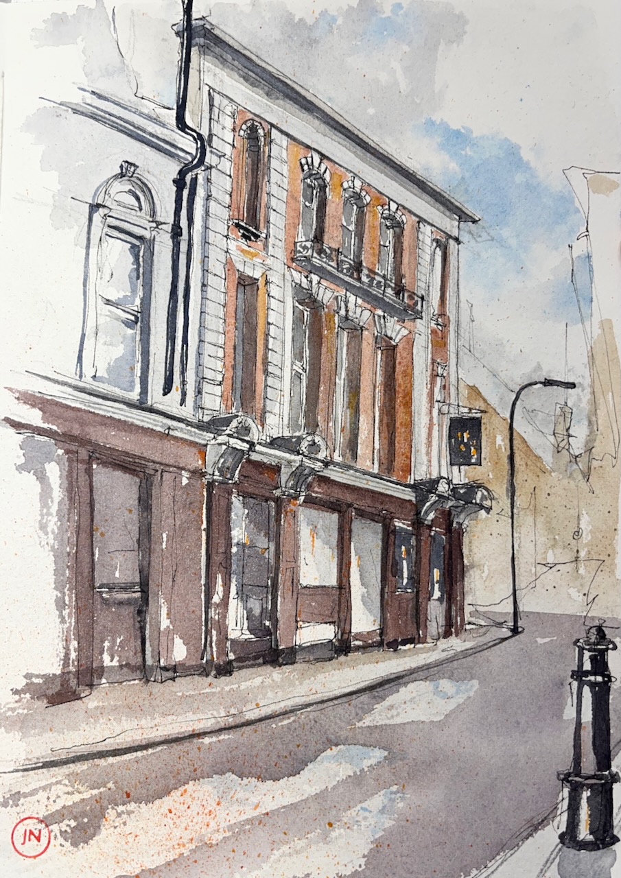
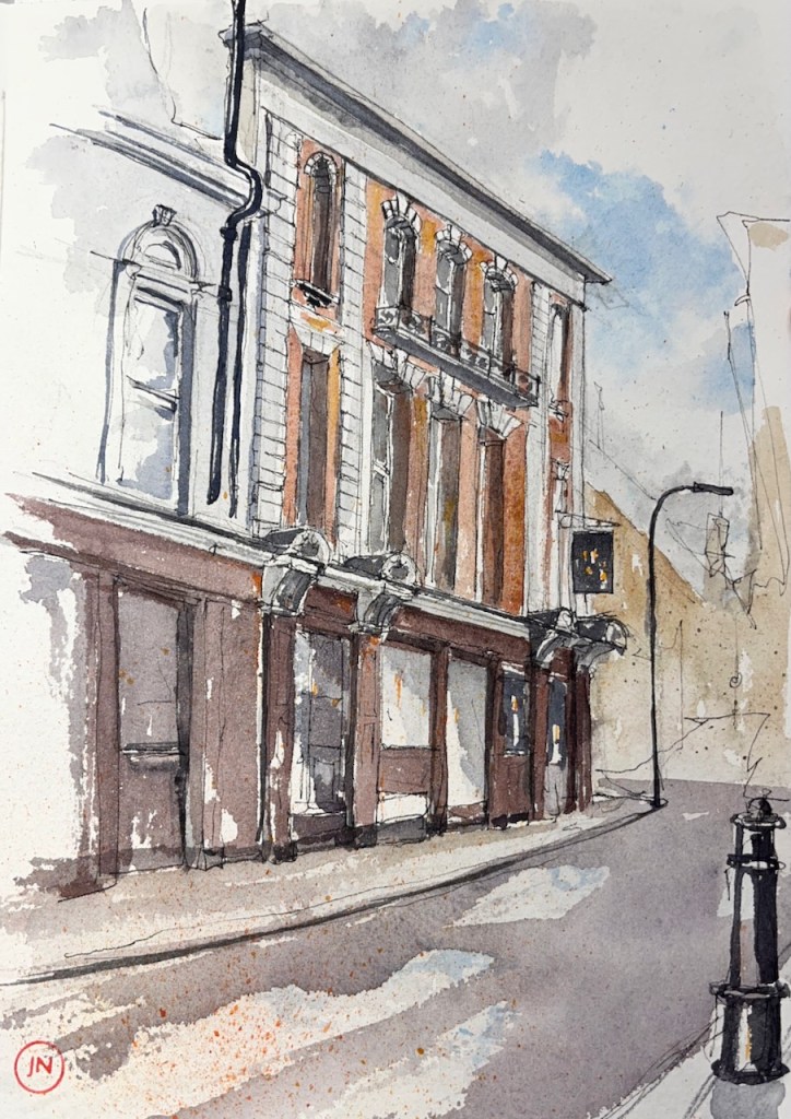
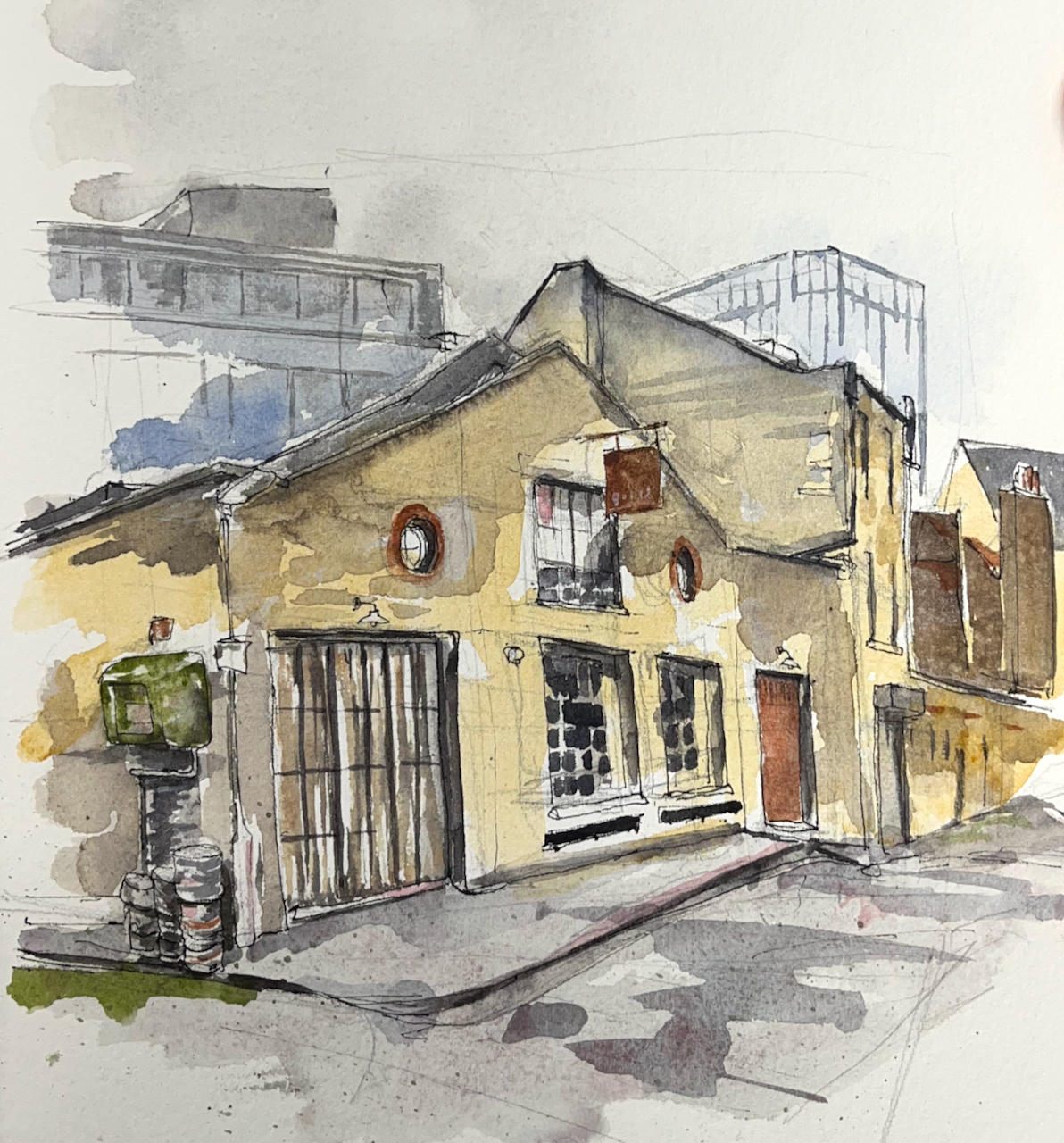
I went to sketch this place in a back alley near Kings Cross because I enjoyed the geometry of the roof, spotted on a morning run some time ago.
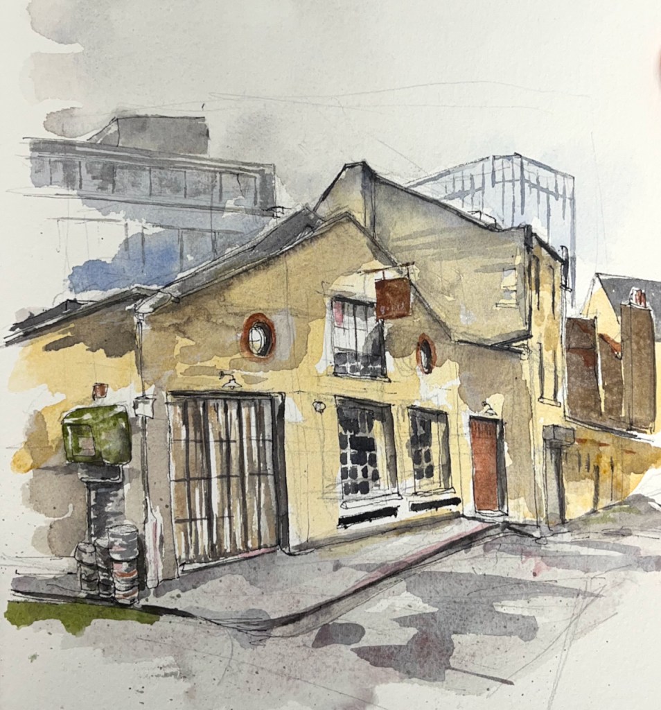
6 St Chad’s Place, Jamboree, London WC1X 9HH – sketched 6 February 2024 2pm in Sketchbook 14

This is “Jamboree” where there is live music, dancing and events: It is open Tuesday evening to Sunday.

“music forms from around the world, cabaret, European folk, dances.”

(https://www.jamboreevenue.co.uk/)

I was expecting the hidden alleyway to be deserted on a Tuesday lunchtime, and so it was for the first hour. But then it became suddenly busy. A small ambulance backed carefully down the alleyway in front of me and parked. Its doors opened and two paramedics went round to the back of the car. They lifted out their equipment and walked calmly off down the alley. After that excitement, a certain calm returned to the alley, insofar as calm is possible a few hundred metres from Kings Cross.

I carried on sketching, now working on the beer barrels to the left of the picture. But the calm did not last long. Two cars arrived and people dressed in orange hi-vis vests scrambled out. They unlocked a gate off the picture to the left, and went in, leaving their car on the pavement. Then a van arrived, it parked directly in front of me, and a further person in a hi-vis outfit got out. He looked across the bonnet of his van and saw me sketching. “Oh, sorry,” he said, “Am I in your way?” I said that yes, he kind of was. I stood ready, however, to concede the space to him, as he looked important and determined in his bright orange overalls and hard hat. But to my surprise he grinned at me, “Ten minutes! I’ll be just ten minutes!”. He rushed off through the gate where the other people had gone. I abandoned the beer barrels and worked on the roofs.

The roofs were quite a challenge, and they productively occupied the 8 minutes until the driver came rushing back out, looking triumphant, accompanied by a selection of the people who’d arrived earlier. “I told this woman I’d be ten minutes,” he explained to his entourage. He raised a hand to me in greeting, got into his car and rumbled off, leaving the other people standing on the cobbles. I asked them what they were working on. “The bridge,” they said. Oh yes, I was standing on a bridge. The train lines were below.

Annotated Google map of the location.

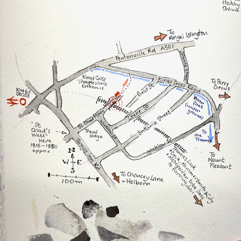
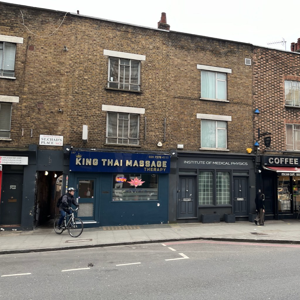
It’s in a labyrinth of roads and railway lines just to the east of Kings Cross mainline station.Here are some maps to show the location. Walk east from Kings Cross, about 10 minutes.
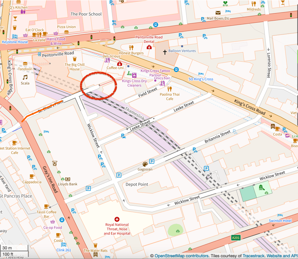
On the maps, the blue line represents the River Fleet, which is alongside the Kings Cross Road, underground. It flows from left to right across the map (West to East) and then heads South down to join the Thames beneath Blackfriars Bridge.

The river Fleet, before it became an underground sewer in 1825, flowed along the western side of Pancras Road and then eastward along the south side of the common, crossing the old highway (now Gray’s Inn Road) north of St. Chad’s Place.

‘Battle Bridge Estate’, in Survey of London: Volume 24, the Parish of St Pancras Part 4: King’s Cross Neighbourhood, ed. Walter H Godfrey and W McB. Marcham (London, 1952), pp. 102-113. British History Online http://www.british-history.ac.uk/survey-london/vol24/pt4/pp102-113 [accessed 7 February 2024].
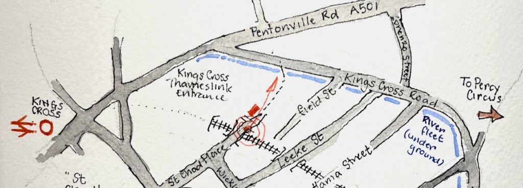
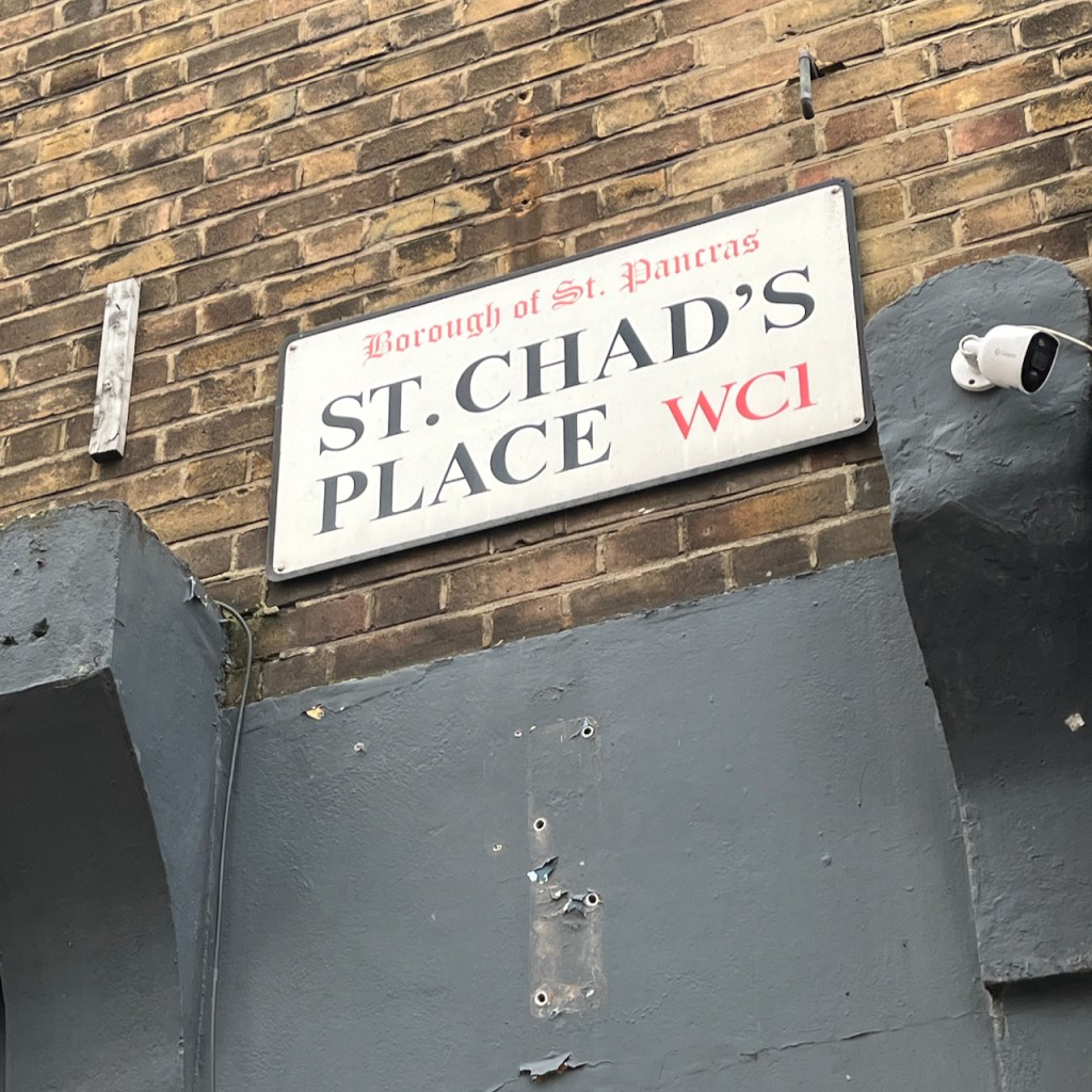
St Chad’s Place slopes down towards the River Fleet. This area was once the location of St Chad’s Well, a spring said to have health-giving properties. It operated from about 1815 to 1860. I found a picture in the London Picture Archives, reproduced below with their permission.
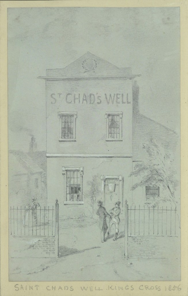
Image © London Metropolitan Archives, City of London Metropolitan Prints Collection LPA 006123 St Chads Well Catalogue No: SC_PZ_SP_01_556 Accession No: Saint Pancras P 01688 Date of execution: 1856
Record No: 305367 used with permission under licence dated 08/02/2024

The website “A London Inheritance” has an informative article about St Chad’s Place and the Well: https://alondoninheritance.com/london-streets/st-chads-place-and-a-lost-well/, which is well worth a read.

A river, a bridge, a well, a passage and a music venue. It’s amazing what you find.

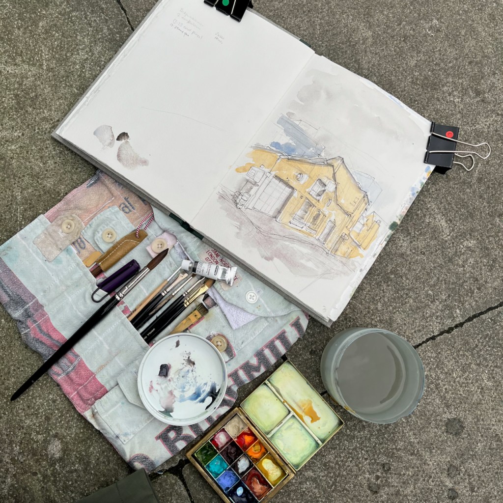
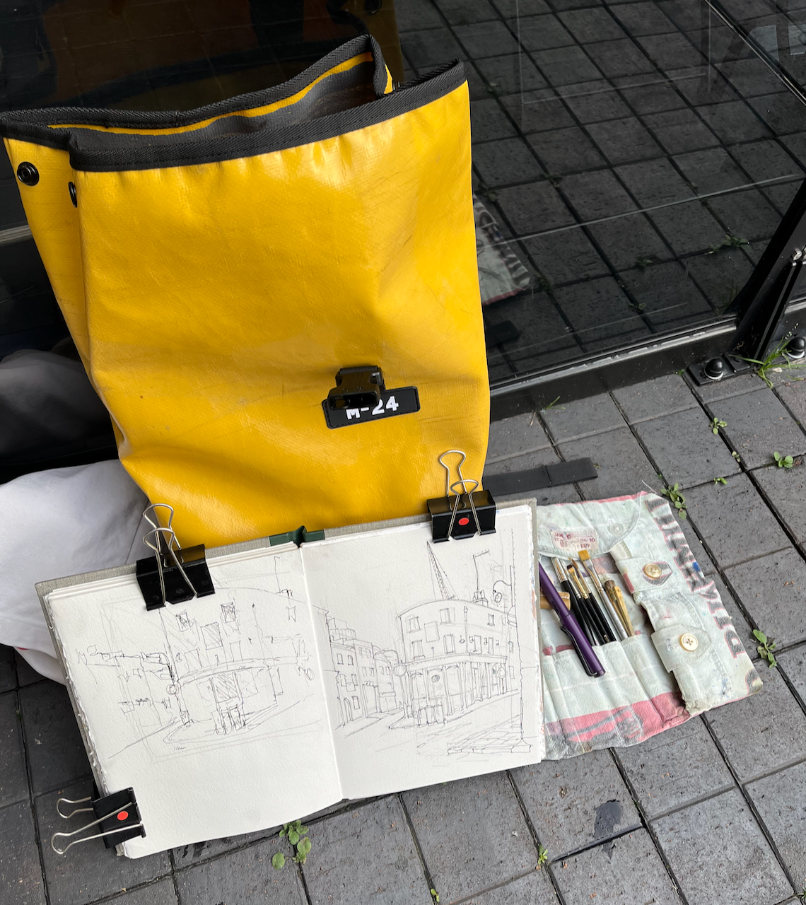
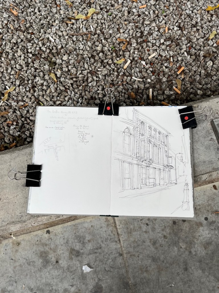
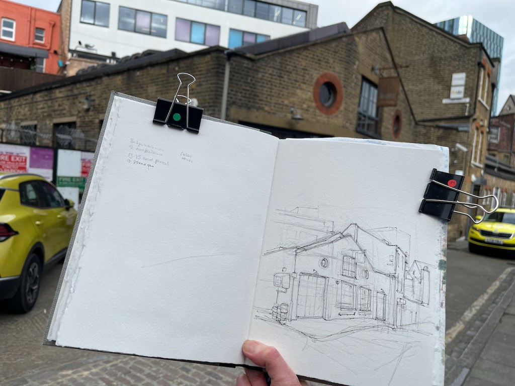
Here is work in progress on the sketch:
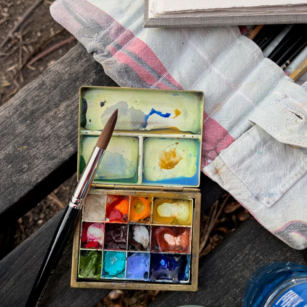
The colours are:

  • For the sky and pavement – a special new colour, Schminke Horadam “Random grey” – “formulated each year from surplus pigments”. This is the 2022 edition.
  • Rose madder permanent – also on the pavement
  • Mars Yellow
  • Ultramarine Blue
  • Green Serpentine Genuine
  • Buff Titanium
  • Fired Gold Ochre in the brickwork
  • Burnt Umber
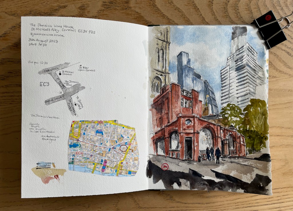
Arches Aquarelle paper in a sketchbook made by Wyvern Bindery (Sketchbook 14).

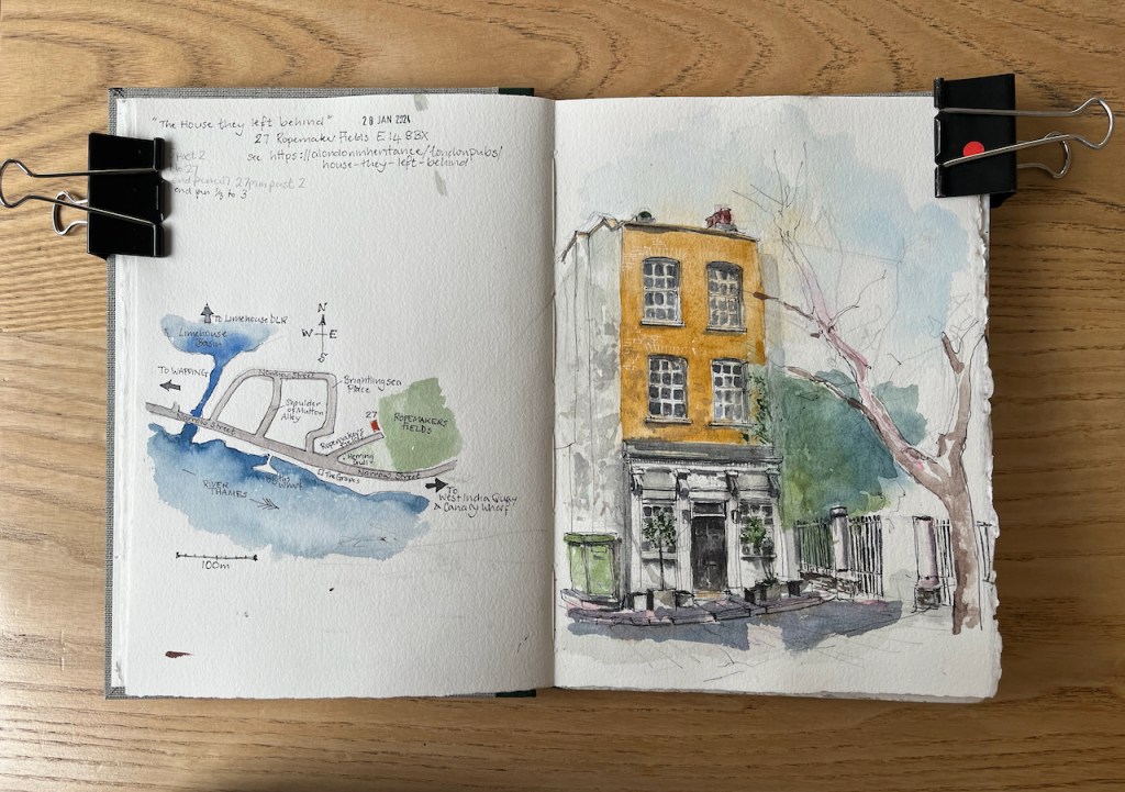
“The House they Left Behind” London E14

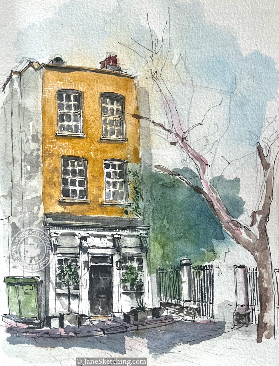
I read an article in “A London Inheritance” about this house, and went off on an expedition to find it.

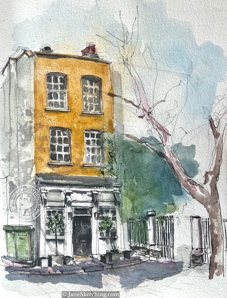
“The House they left Behind”, 27 Ropemakers Fields, London E14 8BX, sketched in Sketchbook 14 28th Jan 2024 at 2pm (Image copyright JaneSketching.com)

The London Inheritance article shows a 1986 photo taken by the author’s father. Painted on the side of the building was the sign:

THE HOUSE THEY LEFT BEHIND
BUILT 1857
RESTORED 1985

The sign has now been painted over. The wall, which is on the left of my drawing, is now completely white. But the name lives on and appears on current maps. Here is a map showing where the house is.

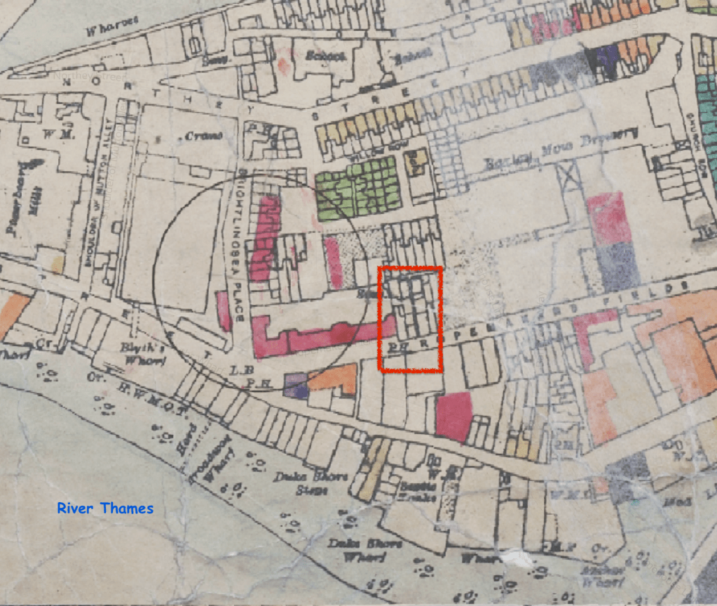
The building is now residential, but was previously a pub. It was “left behind” by the bombs dropped on London by the Luftwaffe in the 1939-45 conflict. The website “Layers of London” provides maps of bomb damage in London. Here is the area.

Map showing bomb damage. Classified from Total Destruction (Black), through Seriously Damaged (Dark Red) to Clearance Areas (Green).
credit:
https://www.layersoflondon.org/map/overlays/bomb-damage-1945
Map provided by London Metropolitan Archives. Geo-referenced with the support of the National Library of Scotland 

The map is based on 1:2500 Ordnance Survey sheets originally published in 1916. The bomb damage was recorded on these maps by hand soon after it happened. The circle represents where a V2 rocket landed. The red area shows buildings that were classified as “seriously damaged – doubtful if repairable”. As you see, the pub, labelled “P.H.”and outlined in red, is shown as undamaged.

I found more information on Bomb Damage Maps from a National Geographic article on a book about the maps. This article also provides a detailed key to the colours on the map. The book is “The London County Council Bomb Damage Maps” by Laurence Ward.

“A diary entry included in the book, from architect Andrew Butler on April 20, 1941, gives an idea of what the work was like:

For the block I have started on—eight floors high with two flats on each floor—has had its whole face ripped off … I found it possible to stand on part of the roof. So, clutching a broken chimney, I surveyed the damage there. My notebook became very messy. What with the dust and soot, wet filth and the perspiration of fluster on my hands, it was difficult to read what I wrote. The notes served their purpose however when, after drying the book, I had to transcribe them into a report.”

https://www.nationalgeographic.com/science/article/bomb-damage-maps-reveal-londons-world-war-ii-devastation

The original maps are in the London Metropolitan Archives.

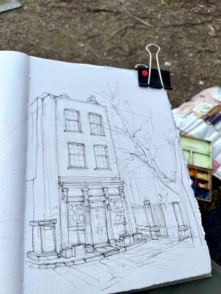
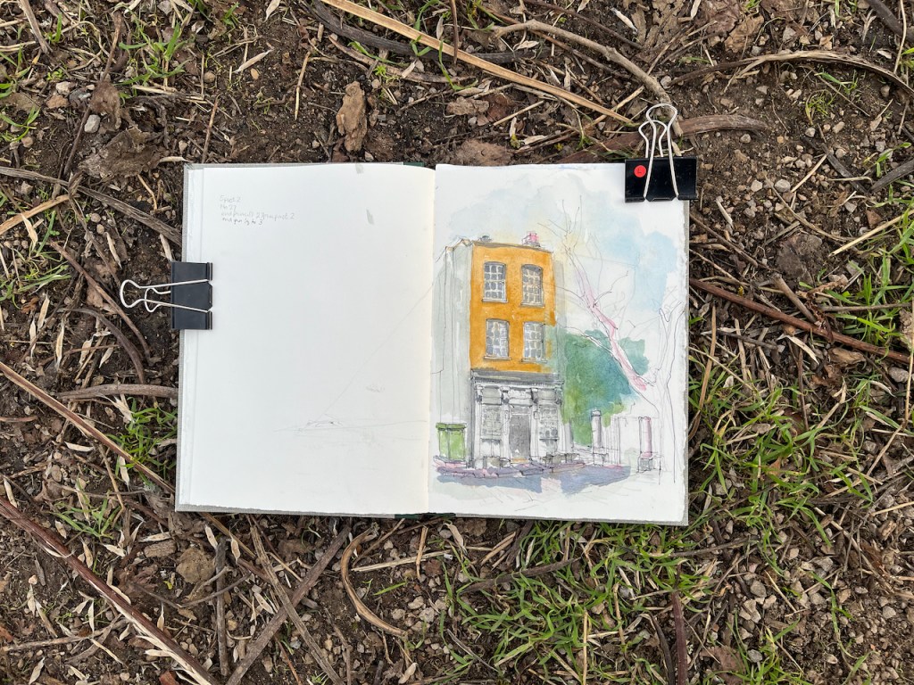
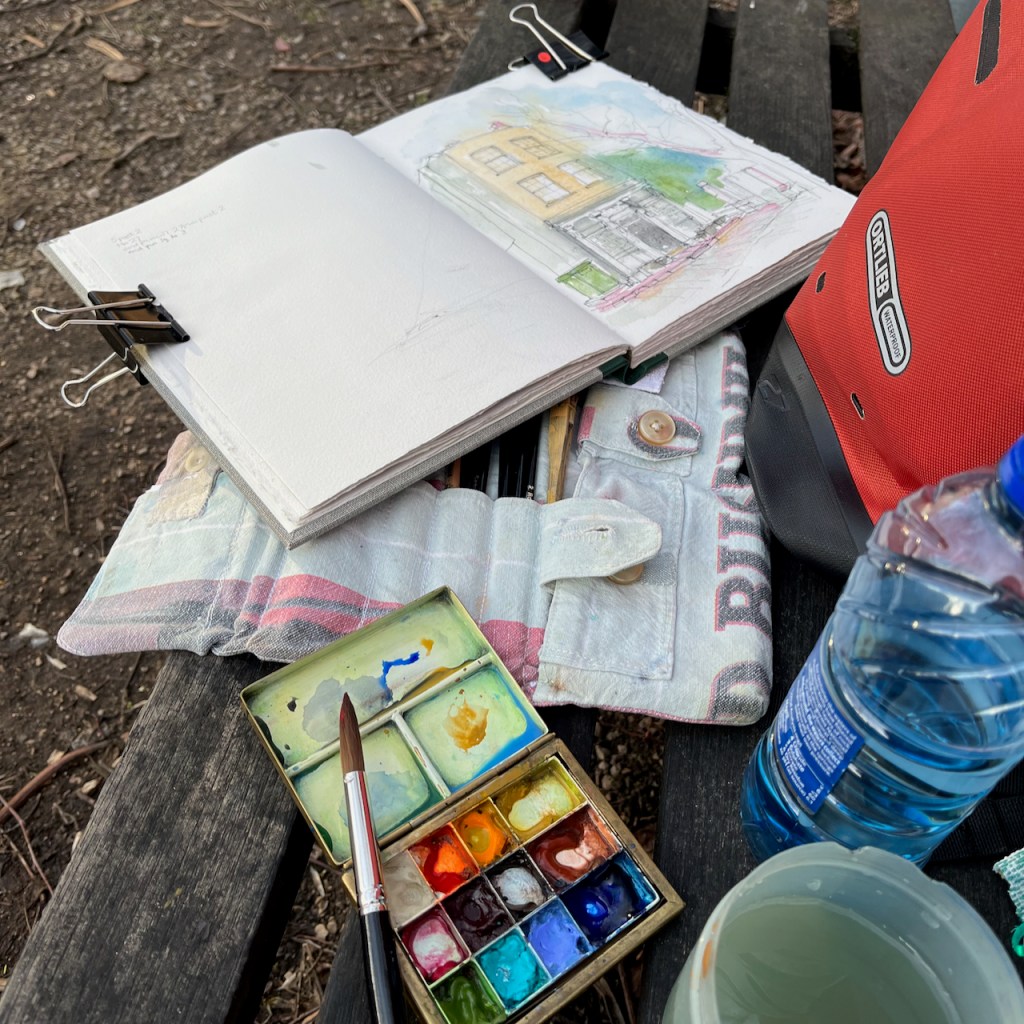
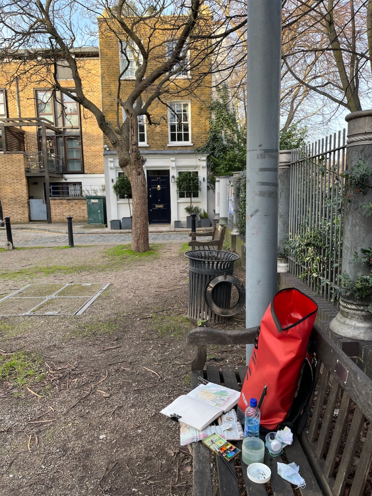
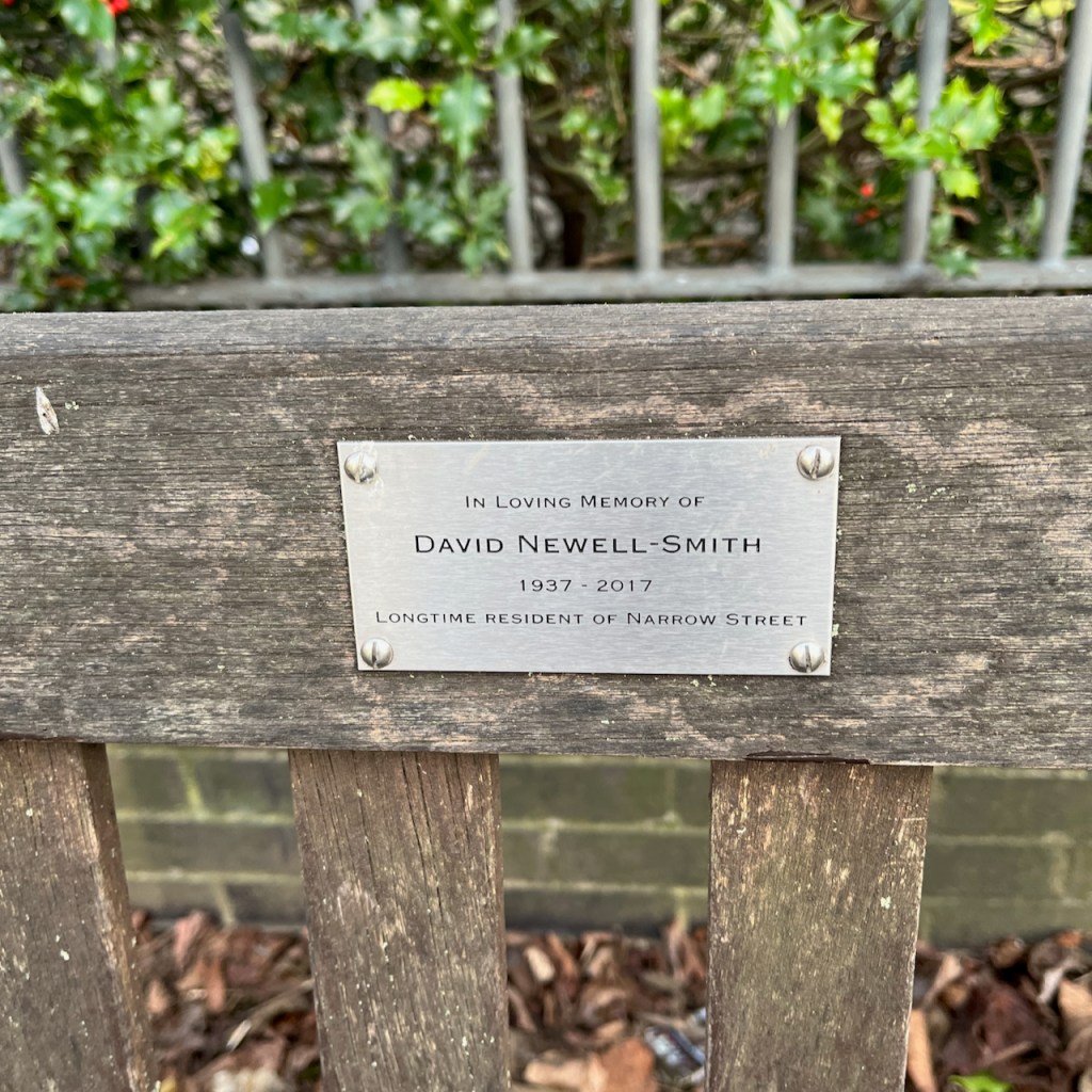
Here is my work in progress on the sketch. Thank you to the author of “A London Inheritance” for providing the stimulus for this expedition. Thank you also to the friends and family of local resident David Newell-Smith, on whose memorial bench I completed the sketch. His dates are given as 1937-2017. He would have been a boy when the bombs were falling.

Market Café, 2 Broadway Market, E8

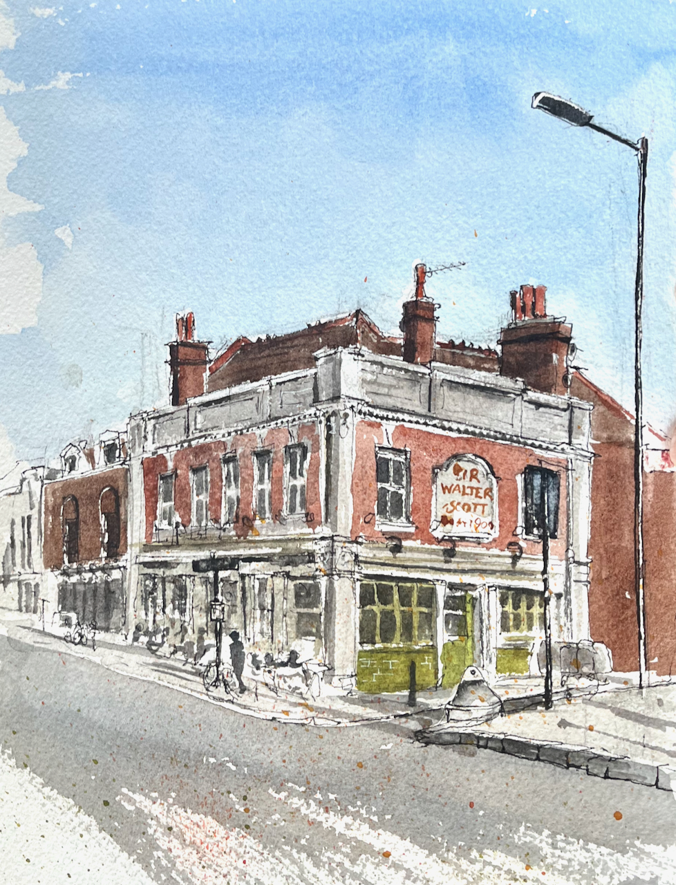
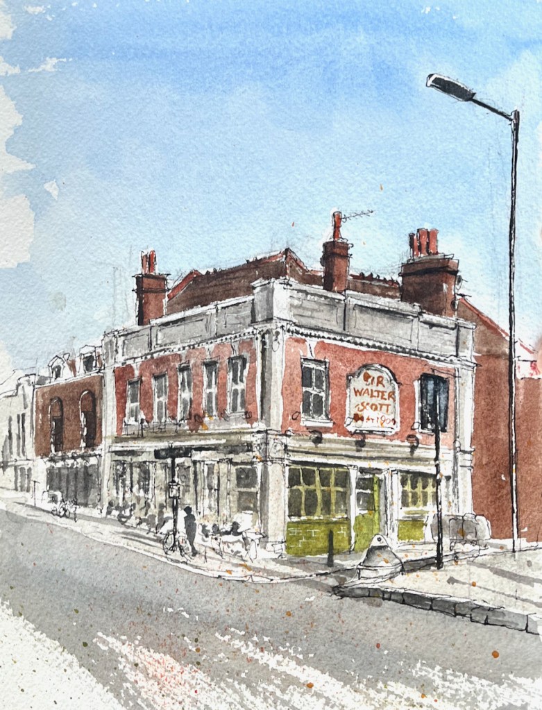
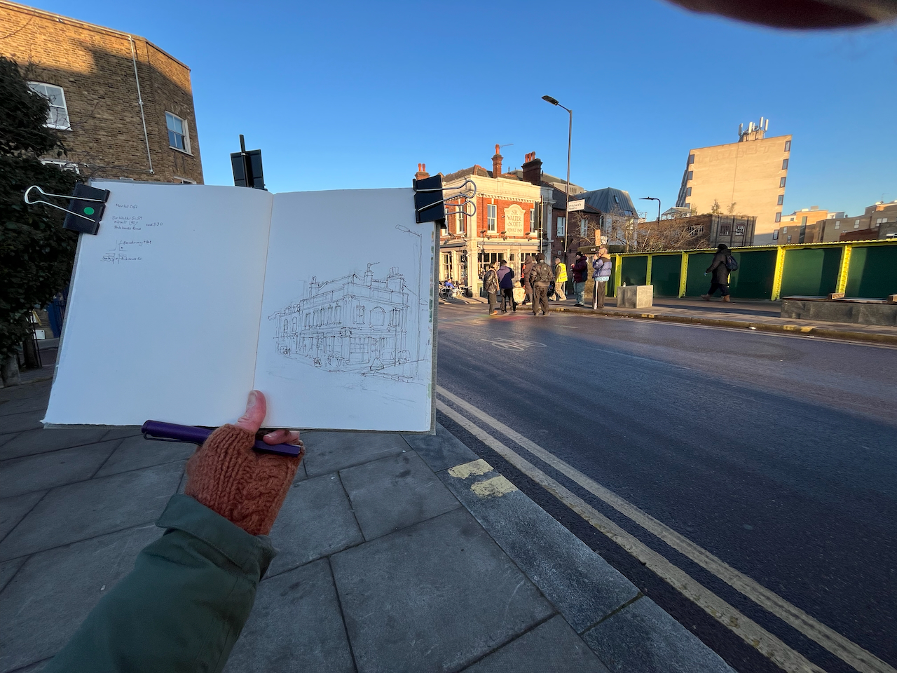
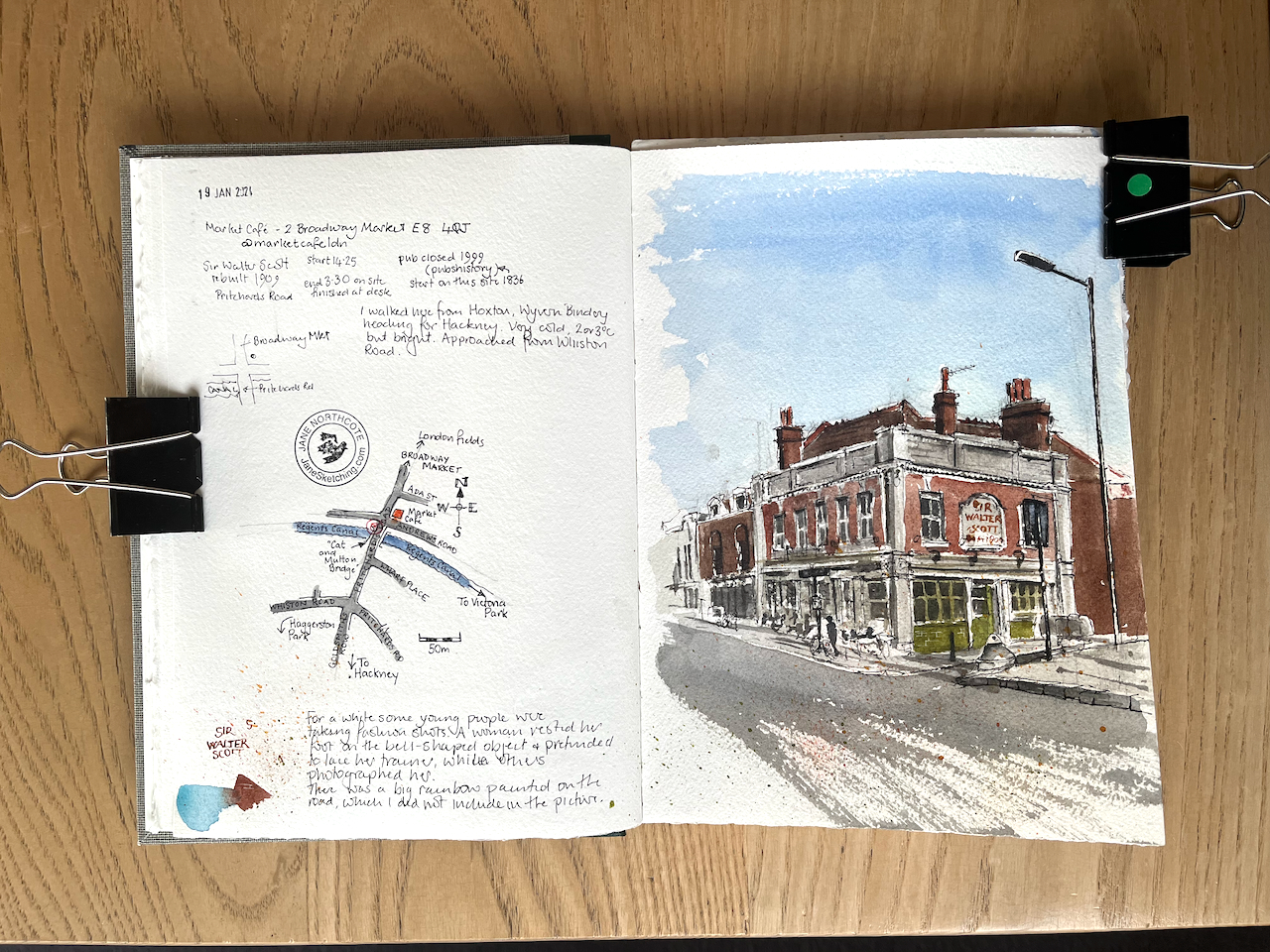
Here is the Market Café, sketched from the “Cat and Mutton Bridge” on 19th January 2024.

Market Café, 2 Broadway Market, London E8. Sketched 19th January 2024, 15:30, in Sketchbook 14.

As you see, this building is the former pub, the “Sir Walter Scott”. A pub was on this site in 1836. The wording on the building says “rebuilt 1909”. It closed as a pub in 1999 according to “pubhistory.com”. The Market Café now operates from the ground floor.

The website of Broadway Market gives a history of this area. In the early 19th century, the canal was the major means of freight transport, until the coming of the railways in the 1840s.

In 1812 “The Regent Canal Act” was passed and the Regent’s Canal constructed. This final link was direct into the River Thames at Limehouse, completing the passageway of heavy freight to Birmingham Manchester and the entire industrial North. (It should be noted that this was at the time of horse-drawn stage coaches and ox-laden wagons).

The new Regents Canal became a central pivot for industry and supplies. Timber warehouses grew, Gas light and Coke companies were established and this once rural backwater had become a major hub of enterprise.

https://broadwaymarket.co.uk/history-part-1/

This “once rural backwater” evidently needed a pub. Sir Walter Scott was a Scottish historian, novelist, poet, and playwright. He died in 1832, which must have been around the time this pub was named and the area was growing in population and importance.

The National Library of Scotland provides a wonderful side-by-side map, so you can see how the area looked previously, alongside a modern map. Click the image below to go to their marvellous site. You can shift the images around and expand them: both maps change at once. It’s fascinating.

https://maps.nls.uk/geo/explore/side-by-side/#zoom=17.6&lat=51.53590&lon=-0.06196&layers=117746212&right=osm

I had a look at an 1870 OS map. The Public House “P.H.” existed here in 1870. The road currently called Broadway Market was called “Pritchards Road” then. You can see the rows of terraced houses along the canal, gone now, and the “Coal Wharf” and “Wood Wharf” which used to be on the south side of the canal.

Broadway Market is now a street of modern coffee shops and small enterprises, with a street market of stalls down the middle. The jeweller William Cheshire has a workshop at the south end of the street. Climpson Coffee are further up. There are bakers, grocers, greengrocers and an opticians. At the North end, Broadway Market gives onto London Fields, a lovely park, with a lido.

It’s a great area to explore.

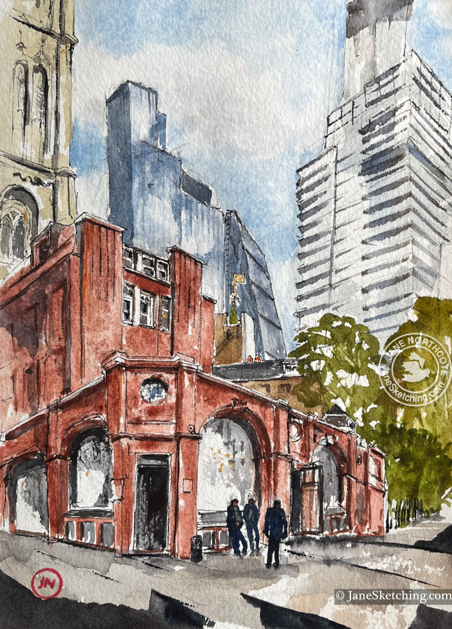
The Jamaica Wine House, EC3

I walked through the City lanes towards London Bridge and passed by the Jamaica Wine House embedded, as it seemed, in a canyon amongst towers.

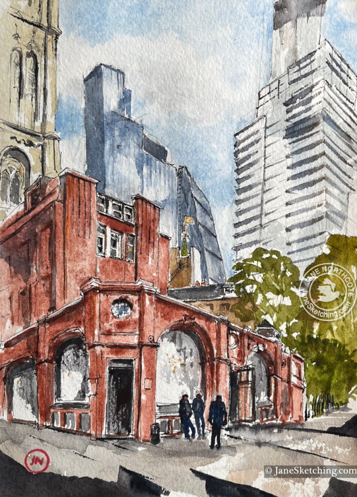
Jamaica Wine House, 12:30pm 30th August 2023 in Sketchbook 13.

The Cheesegrater and 22 Bishopsgate are the office blocks in the left background and One Leadenhall is under construction on the right.

This is a very old part of the City. Although some buildings have changed, the road layout still retains something of the feeling of Dickensian London. There has been a pub or coffee house on the site of the Jamaica Wine House since 1652. The current building dates from 1868 according to the Historic England List Entry (number 1079156).

Off the picture to the left is MacAngusWainright bespoke tailors and shirtmakers, at number 4 St Michael’s Alley. This shop used to be John Haynes&Co, the jewellers.

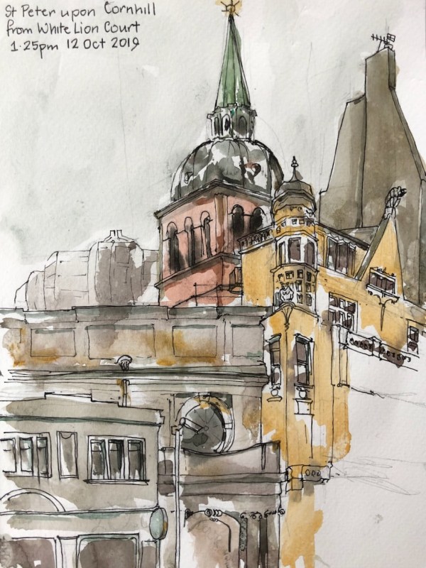
St Michael Cornhill is visible to the left in the background, and you can just see the weathervane on St Peter upon Cornhill in the centre of the picture.

My drawing of St Peter upon Cornhill is in this post:

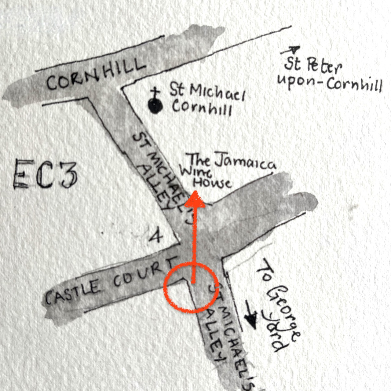
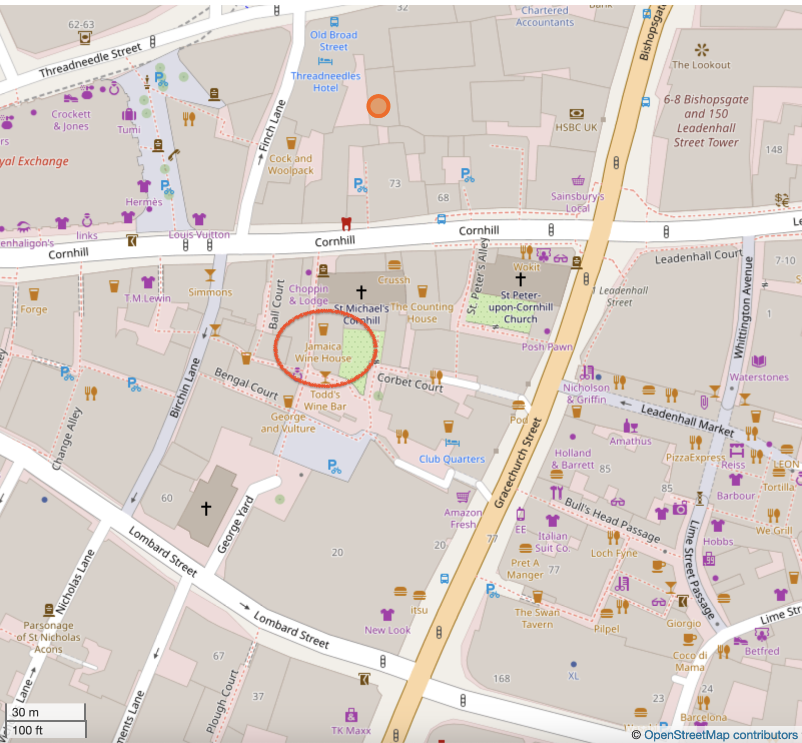
Location of the Jamaica Wine House in the alleys between Lombard Street and Cornhill. (Map (c) OpenStreetMap contributors)

The picture took an hour on location and I finished it at my desk.

The colours in the picture are:

  • Fired Gold Ochre – my go-to colour for brick and sandstone
  • Ultramarine blue, Lavender, and Cerulean Blue for the sky
  • Burnt Umber in the sky
  • All greys and blacks are Ultramarine Blue with Burnt Umber
  • There’s a bit of Iridescent Gold on the weathervane of St Peter upon Cornhill
  • The trees in St Michael’s garden are Serpentine Genuine with some Permanent Yellow Medium.
  • St Michael on Cornhill is Buff Titanium with some Burnt Umber and Ultramarine Blue.

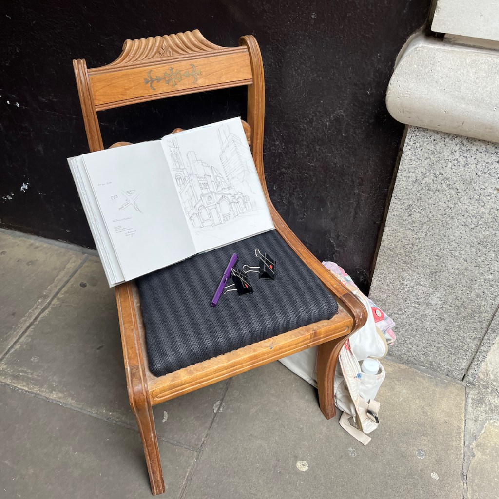
Done on Arches 300gsm NOT watercolour paper in a sketchbook by Wyvern Bindery, Hoxton. Thank you to McAngusWainwright, city tailor, for the kind loan of the chair.

Scenes from Switzerland – August 2023 sketchbook

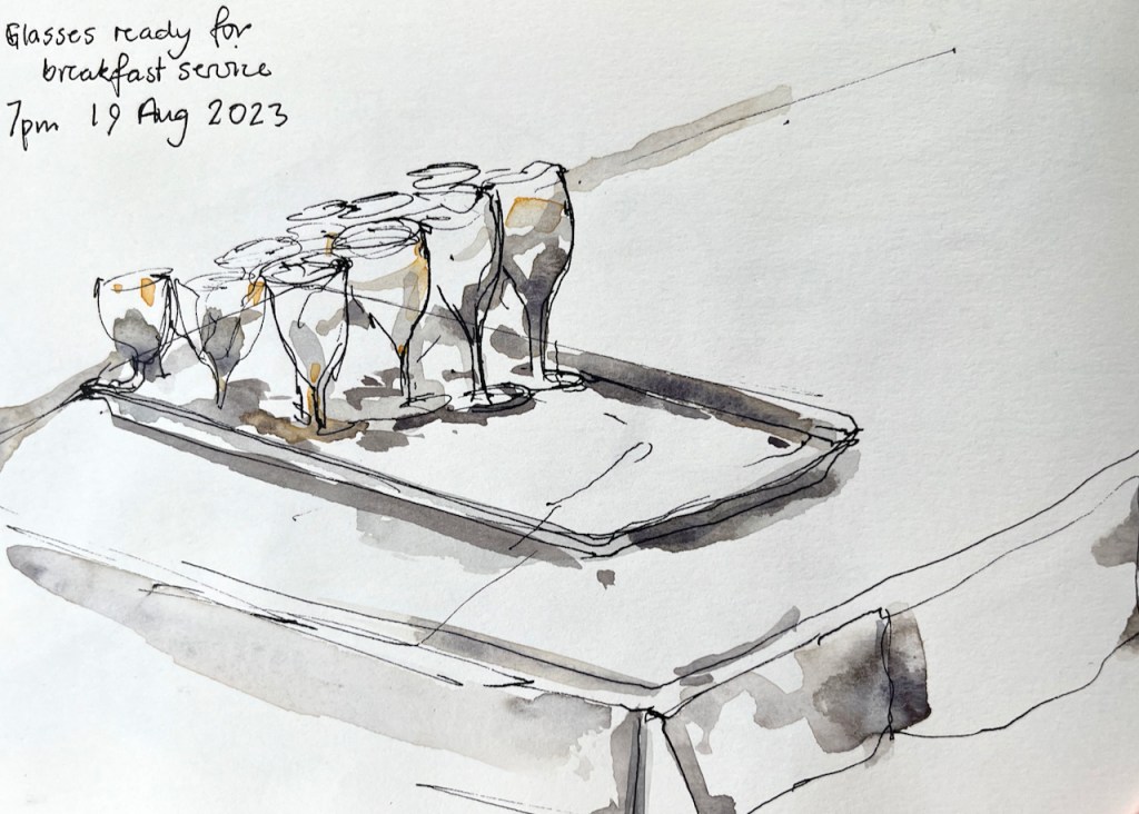
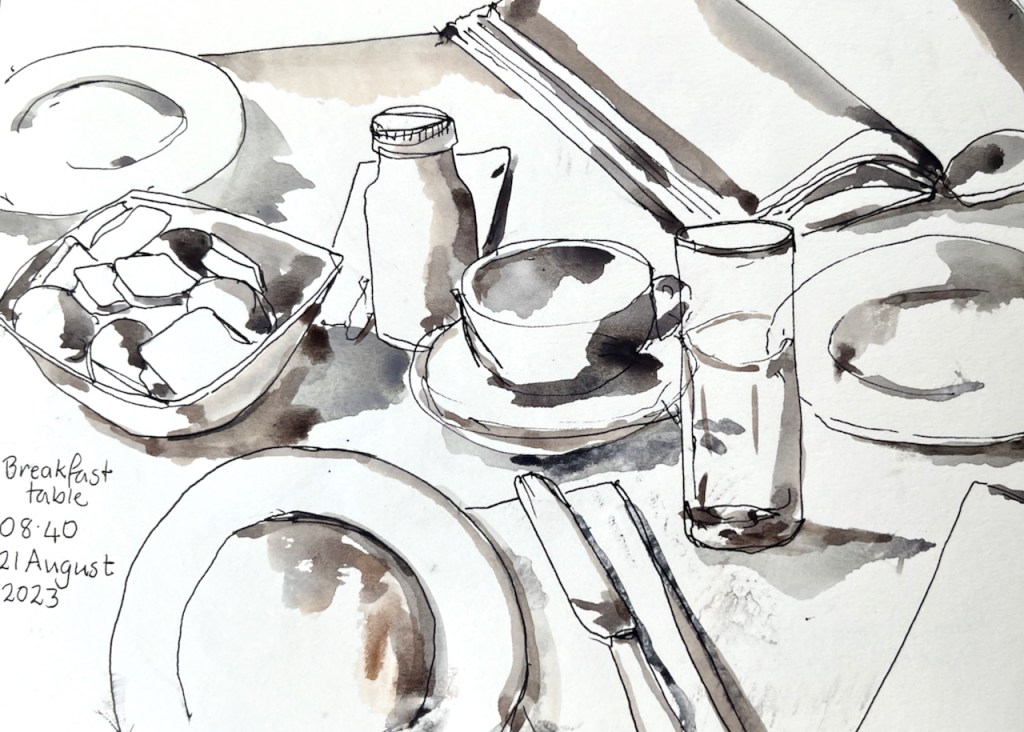
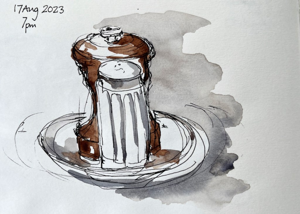
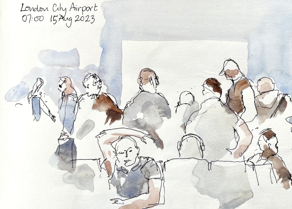
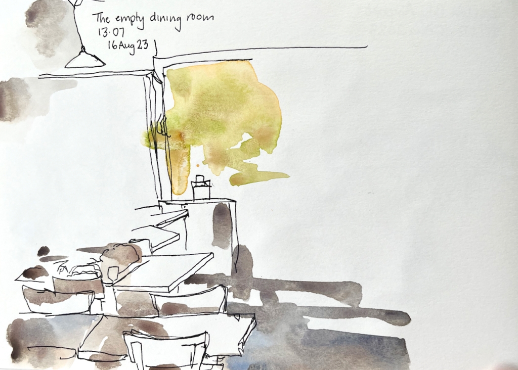
Sketching is a way to fill those “waiting” times with creative activity.

I had an A5 sketchbook with cartridge paper. This cartridge paper behaved differently from the watercolour paper I am used to. It was more suited to quick sketches.

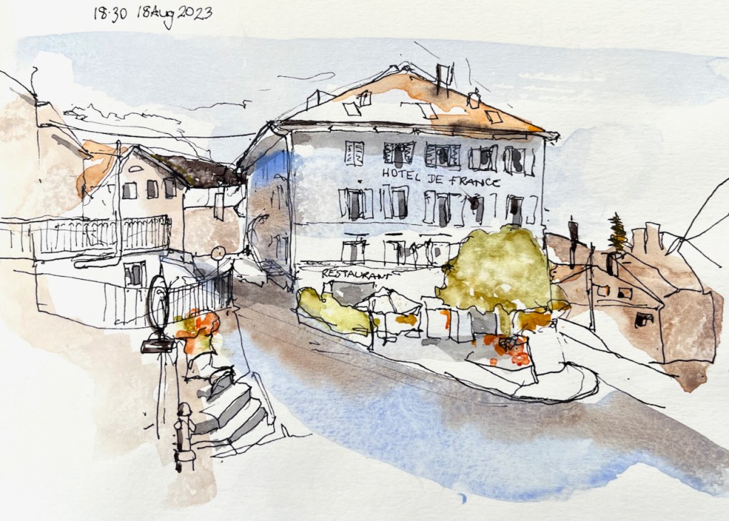
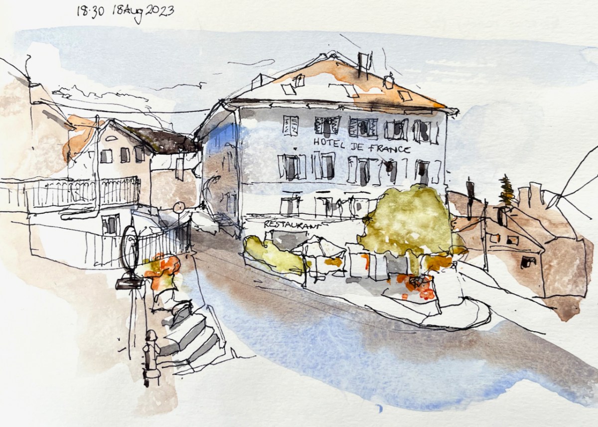
It was hot weather. Outdoors the paint dried quickly. Here’s the hotel from the other side of the road, drawn very quickly, about 20 minutes.

Hôtel de France, Sainte-Croix 18 August 2023

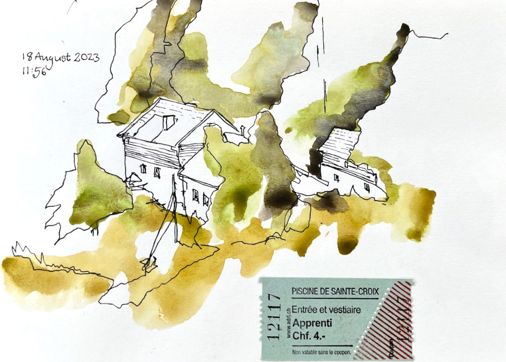
I went to the swimming pool. On the way back I stopped to sketch the sloping hill and a house in the trees.

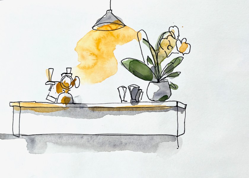
Here’s a view of the bar at the hotel.

Here’s a flip-through of the sketchbook. 20 seconds of silent video. [This video and the gallery beneath may not show on email or phones so if there’s a problem please see the web version of this post]

Sketchbook flip-through. Sketchbook from the Vintage Paper Company.

I’ve sketched in Switzerland before. Here are some other other drawings I’ve done in the same location:

Swiss house on a hill

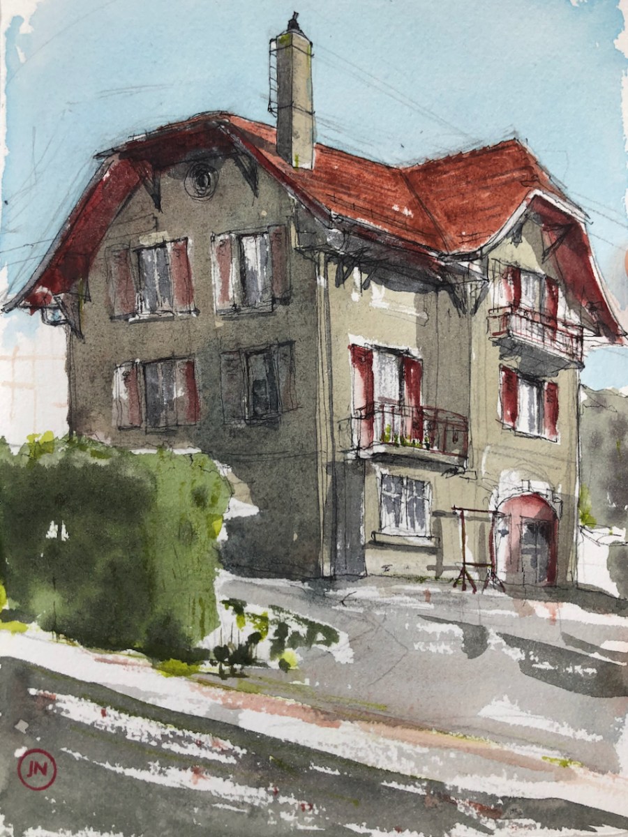
Here is 23 rue du Petit-Montreux, Sainte-Croix, Vaud. I sketched this house after breakfast. The sun was bright and I rushed out into the crisp morning. It took me…

read this post…

View from a Swiss Hotel

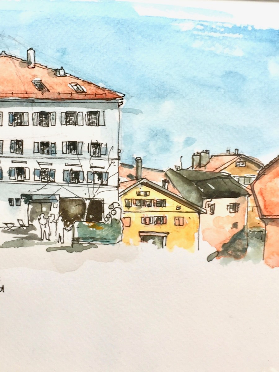
It was raining in Switzerland. Here is a sketch I did looking out of the window of the Hôtel de France, Sainte-Croix, Vaud. The building with the flags is…

read this post…

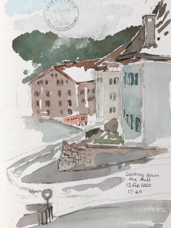
Sainte-Croix, February 2020

The weather in the Jura mountains is changing. This is climate change, the residents tell me. Once, the snow came reliably every year, bringing skiers. Now, the snow is…

read this post…

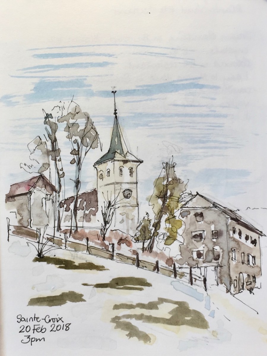
Sainte-Croix, Vaud

This is the church. Drawn and coloured on location, about 1 degree C. That’s snow in the foreground. Then later, it was colder. Hotel de France, drawn from the…

read this post…

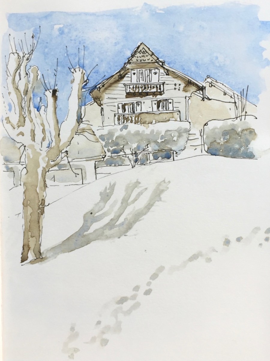
Snow in Sainte-Croix

Snowfield behind the church. Painted with melted snow as I forgot to bring water. All done standing up as everything was wet and cold. Snow blew from the roof…

read this post…

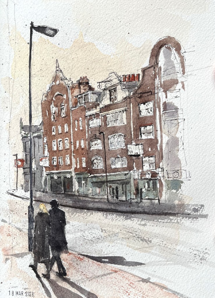
St John St EC1M, numbers 55-65, looking south

Here is a sketch looking south down St John St, Islington, towards Smithfield Meat Market, which is off to the left. The building with the pointed gable is the pub “The White Bear”.

55-65 St John St, London EC1M. 18 March 2023 in Sketchbook 13
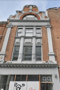
No. 99: the former “Horns”, no longer a pub.

The White Bear has “1899” written on its tall gable. “British History Online” points to two pubs built around that time on St John St, of which only the White Bear survives as a pub:

.. two public houses from the same period: the White Bear at No. 57 [], rebuilt in 1898–9 by the City of London Brewery Co., along with the adjoining house No. 59; and the former Horns of 1887 at No. 99, by Alexander & Gibson, architects []

British History Online https://www.british-history.ac.uk/survey-london/vol46/pp203-221

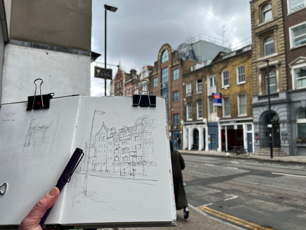
Here is a map and a photo of the ink drawing. I was sketching on a somewhat damp day, ‘rain with sunny intervals’. I went home at this point to finish the colours at my desk.

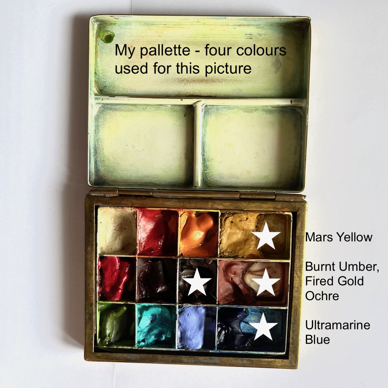
Here are the colours I used in this sketch. As you see, there are only four.

Here are a few other sketches I’ve done in the area.

Mar i Terra, Gambia Street, SE1

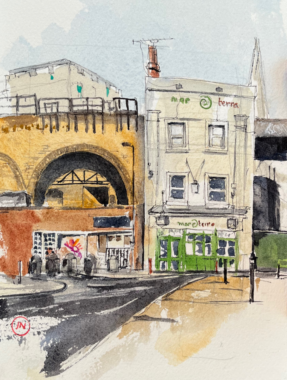
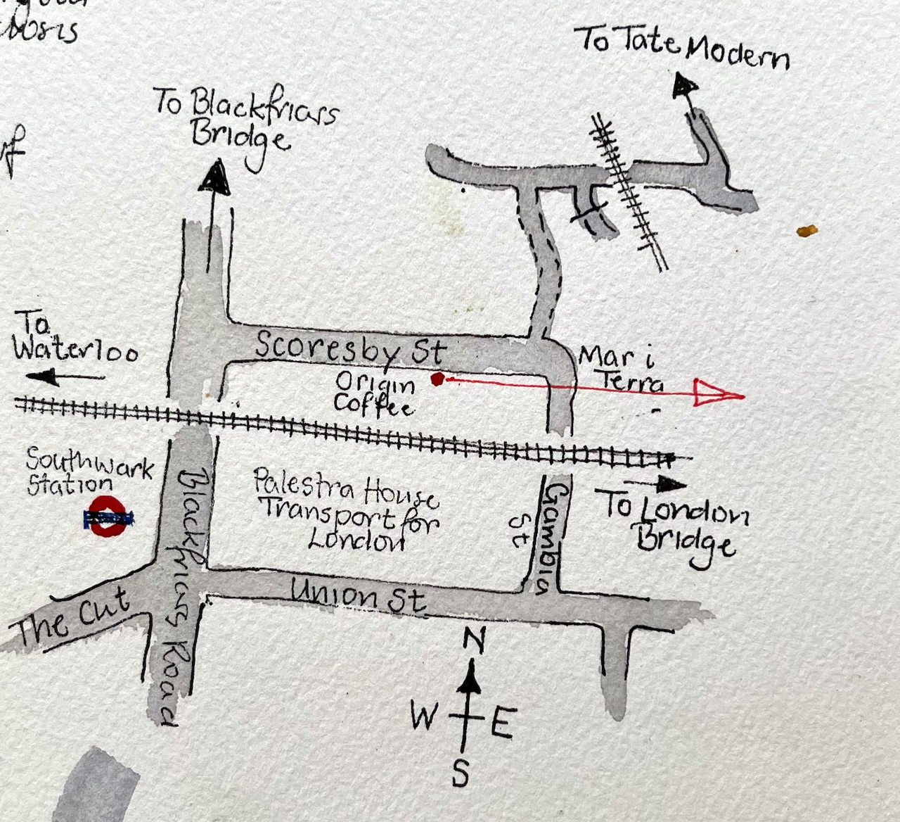
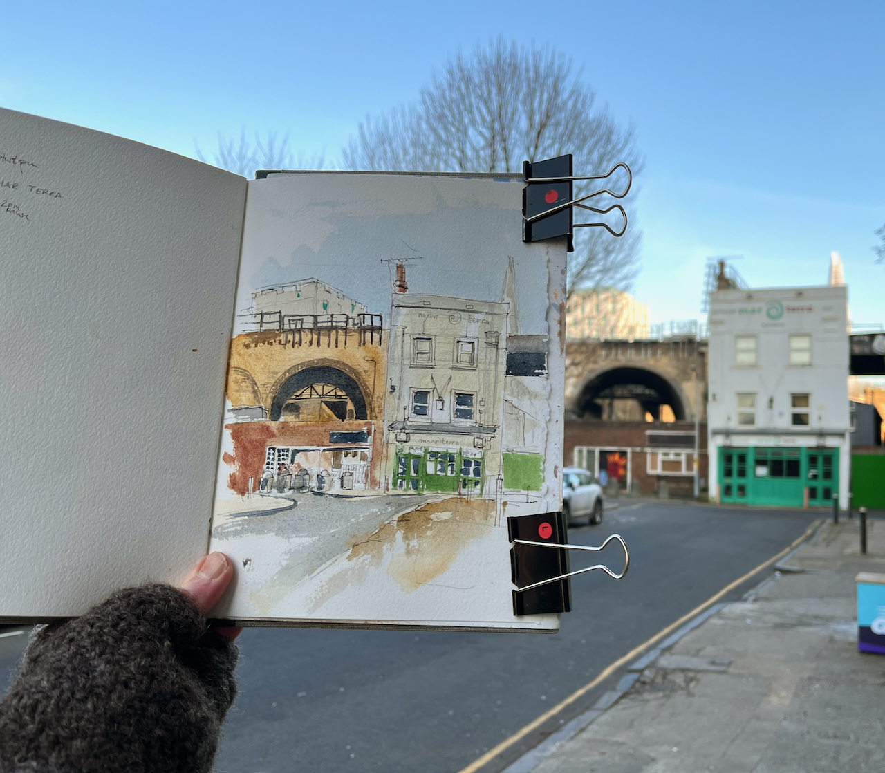
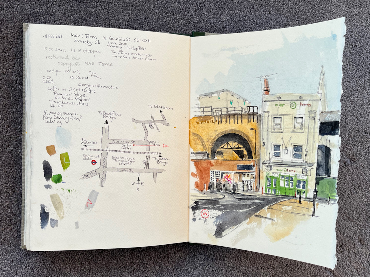
Here is the bar and tapas restaurant “Mar i Terra”, cosily tucked away in a back street near Southwark Station.

“Mar i Terra” Gambia Street SE1, sketched from Scoresby Street. 7″ x 9″ in Sketchbook 12.

There are magnificent Victorian railway arches looping all around, and 21st century buildings in the background, but this building stands defiantly, self-contained and functional.

The restaurant is open Tuesday to Sunday for dinner. It also serves lunch on Tuesdays and Thursdays. I was sketching it on a Wednesday so I sought lunch elsewhere, and discovered the wonderful “Origin Coffee” in Scoresby Street.

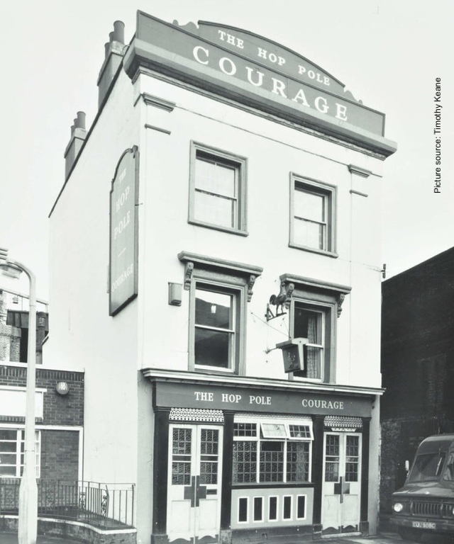
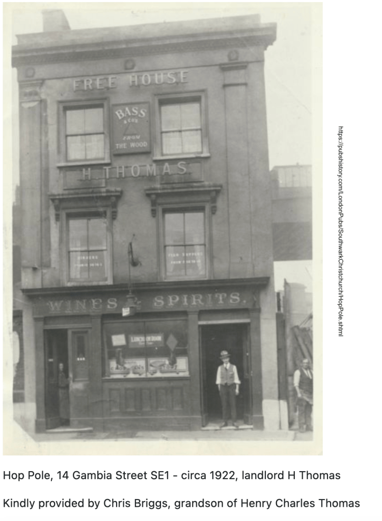
According to their website “Mar i Terra” has been serving the people of the neighbourhood since the year 2000. Up until 1999 this building was “The Hop Pole” pub.

The Hop Pole in about 1972. Image from “https://www.closedpubs.co.uk/london/se1_southwark_hoppole.html”

According to the “Pub History” site, victuallers were recorded at this site in 1791. So it was a pub for nearly 200 years.

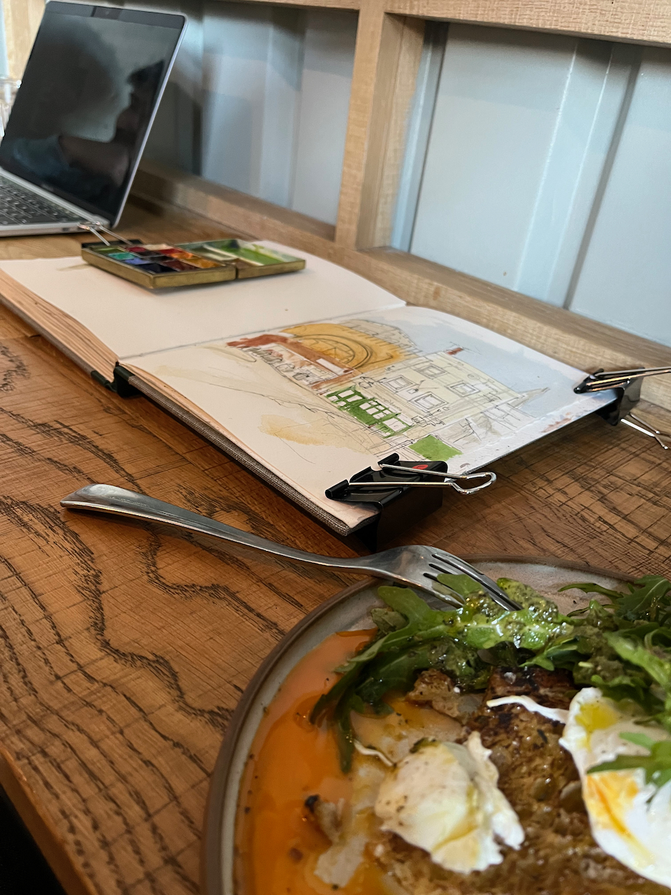
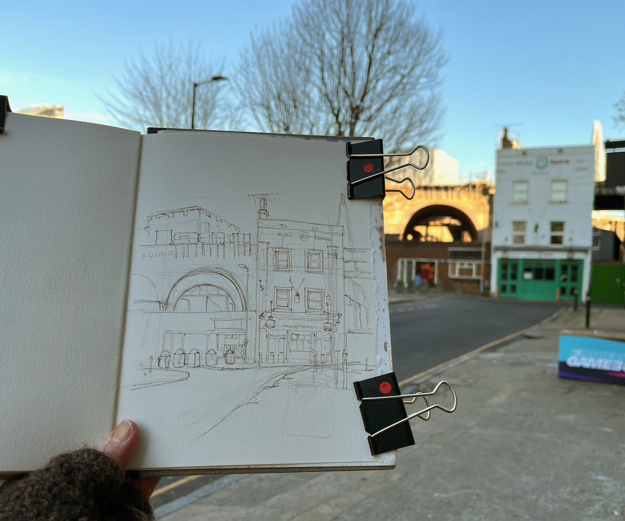
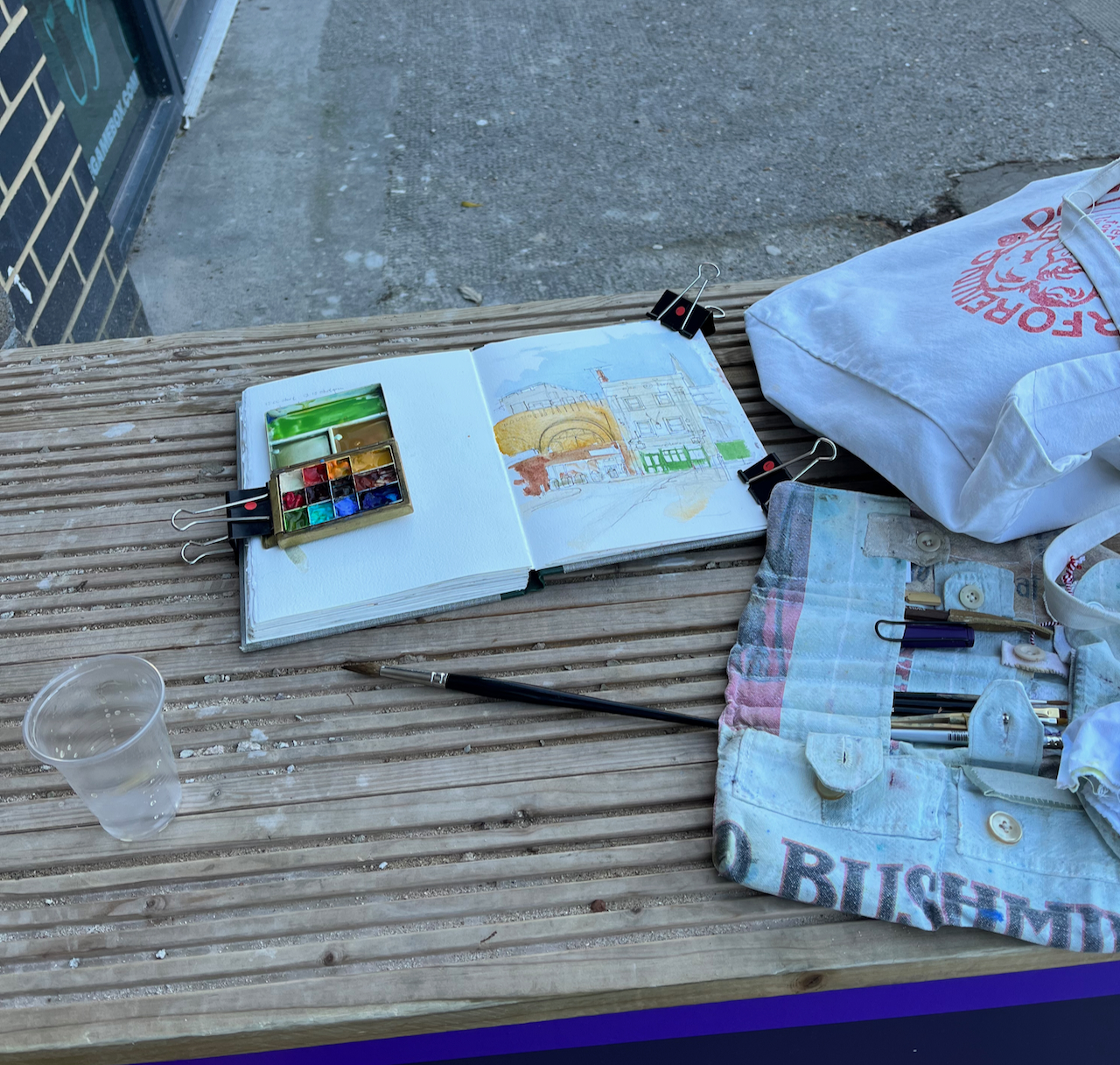
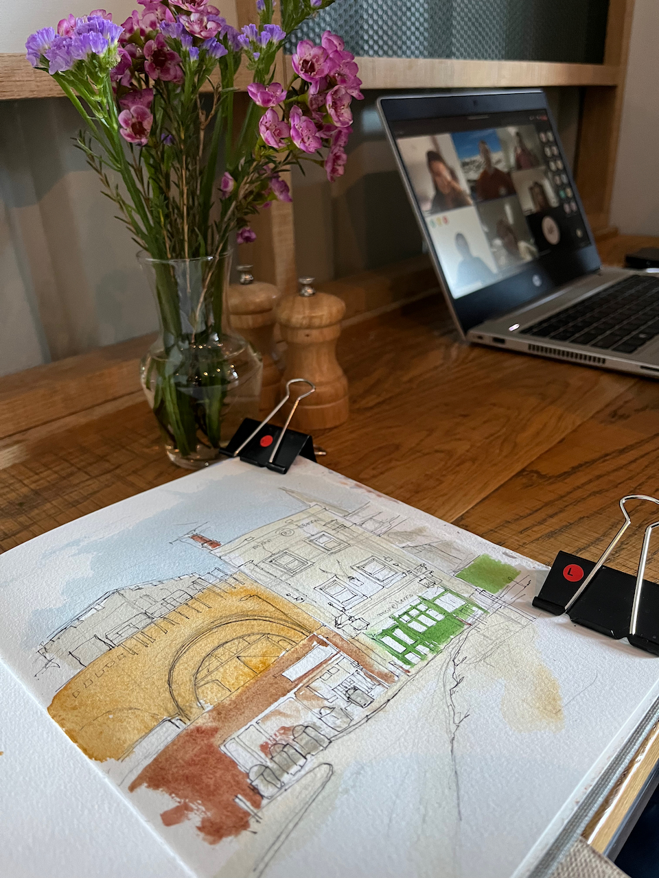
Here is work on progress on the drawing.

Colours:

  • Sky: Ultramarine Blue and Cobalt teal blue
  • Brickwork: Mars Yellow with some Fired Gold Ochre
  • Greys and blacks: Ultramarine Blue and Burnt Umber
  • Green paintwork: Serpentine Genuine moderated with Cobalt Teal Blue
  • Graffiti added with a red crayon

Here’s an image from the Pub History website. I can just read that the notice on the big window says “Luncheon Room”. So the Mar i Terra continues the tradition, on Tuesdays and Thursdays. The railway bridge behind, on the right of the photo, is still there, too, as well as many of the features of the front of the pub. Amazingly, the door layout seems to have endured. Is that Mrs H Thomas standing behind the door on the left?

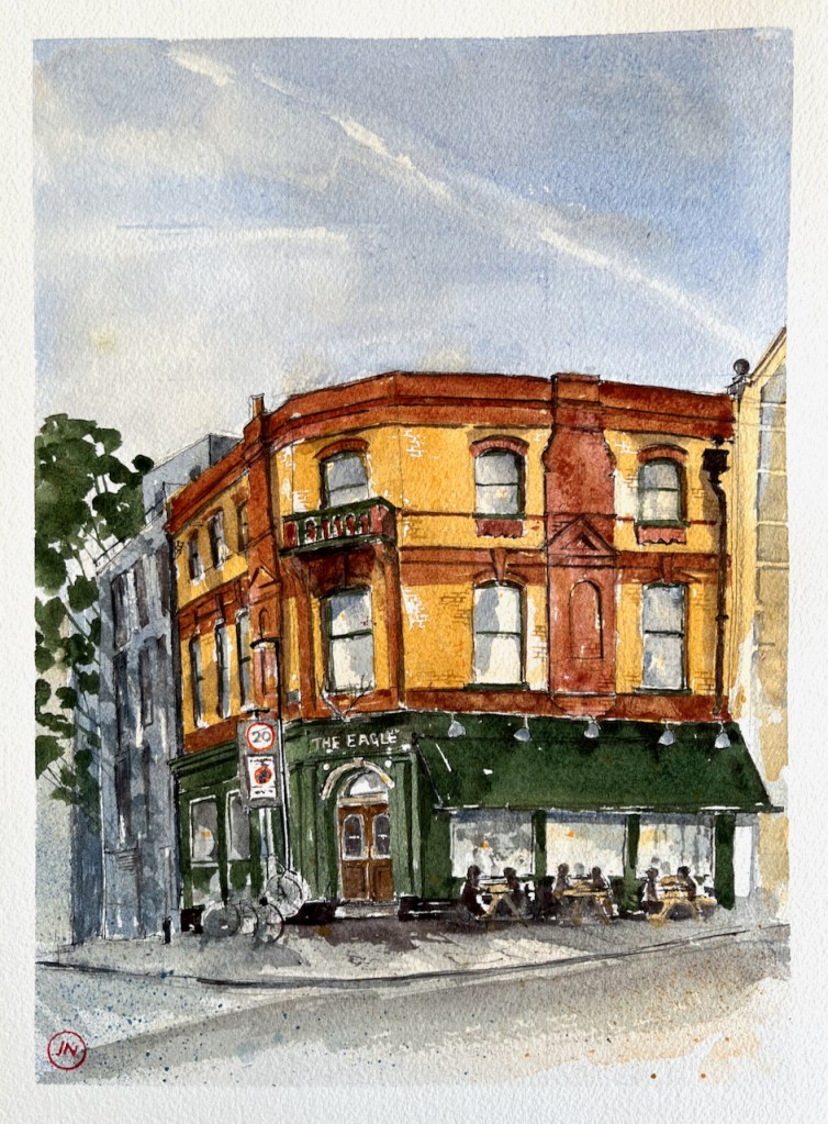
The Eagle, Farringdon Road, EC1

Here is “The Eagle” 159 Farringdon Road, London, EC1.

The Eagle, Farringdon Road, October 2022, 12″ x 9″ [sold]

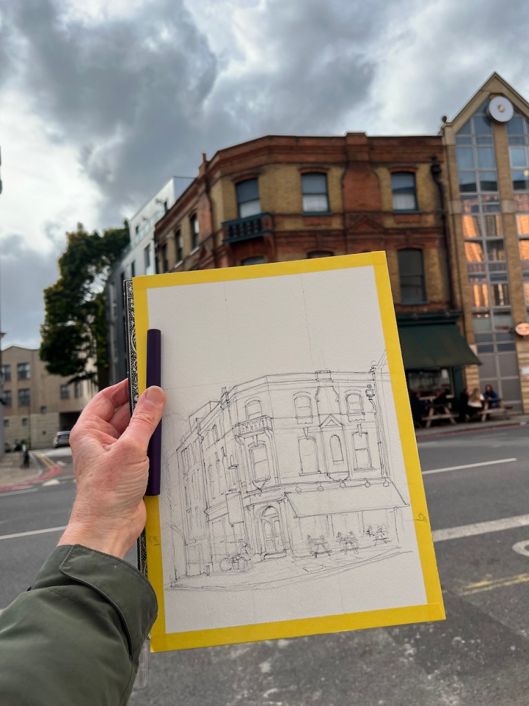
I painted this as a commission. My client liked the pub and asked for a picture which showed the liveliness of the place. I sketched it from the other side of the Farringdon Road.

There was certainly a lot of activity in the pub. As you see in the picture, people arrived and occupied at the tables in the street, even though this was October, and quite chilly. The lamppost by the door was soon adorned with a collection of bikes.

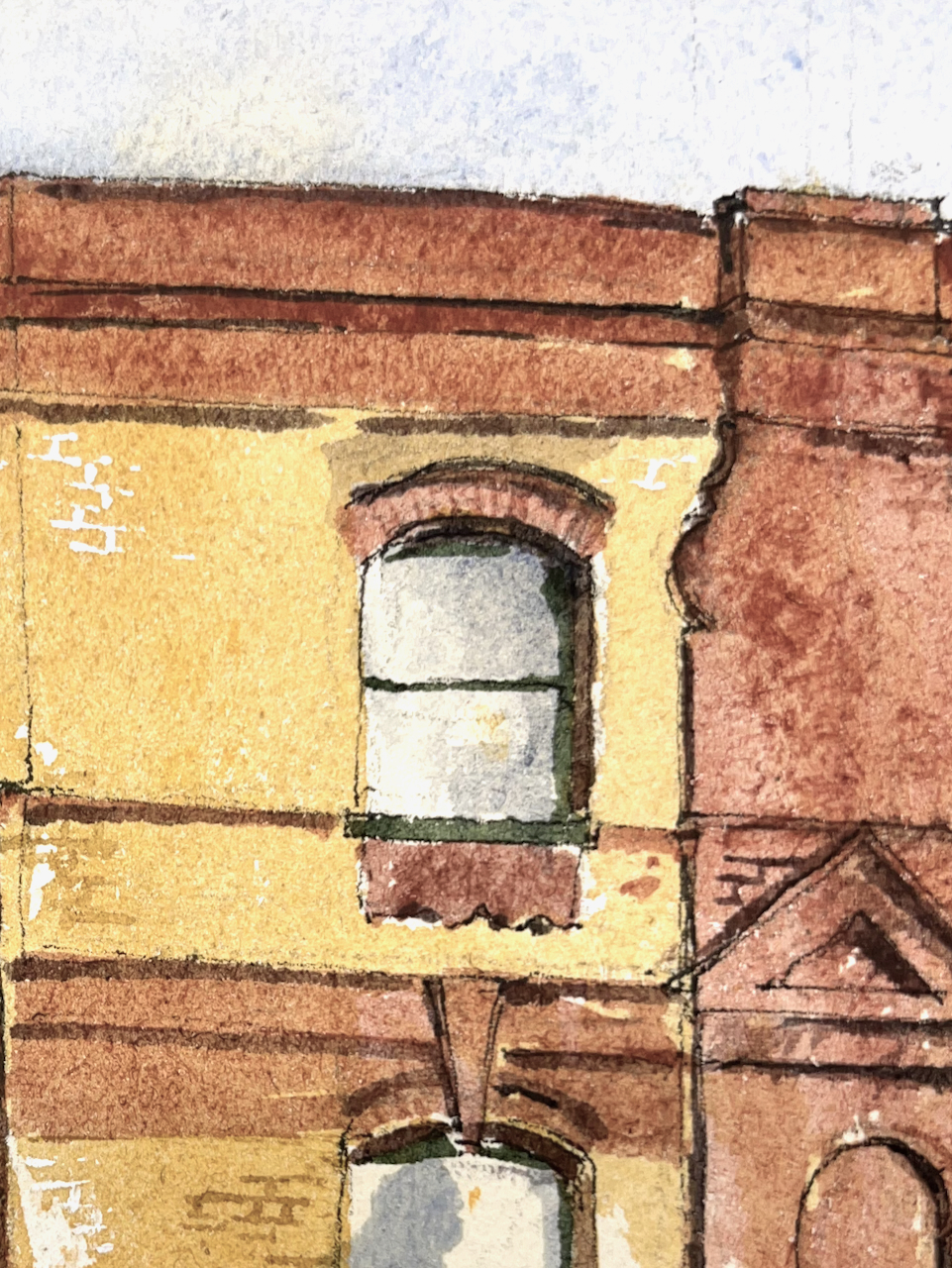
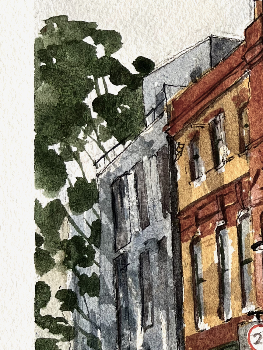
Here are some details from the picture:

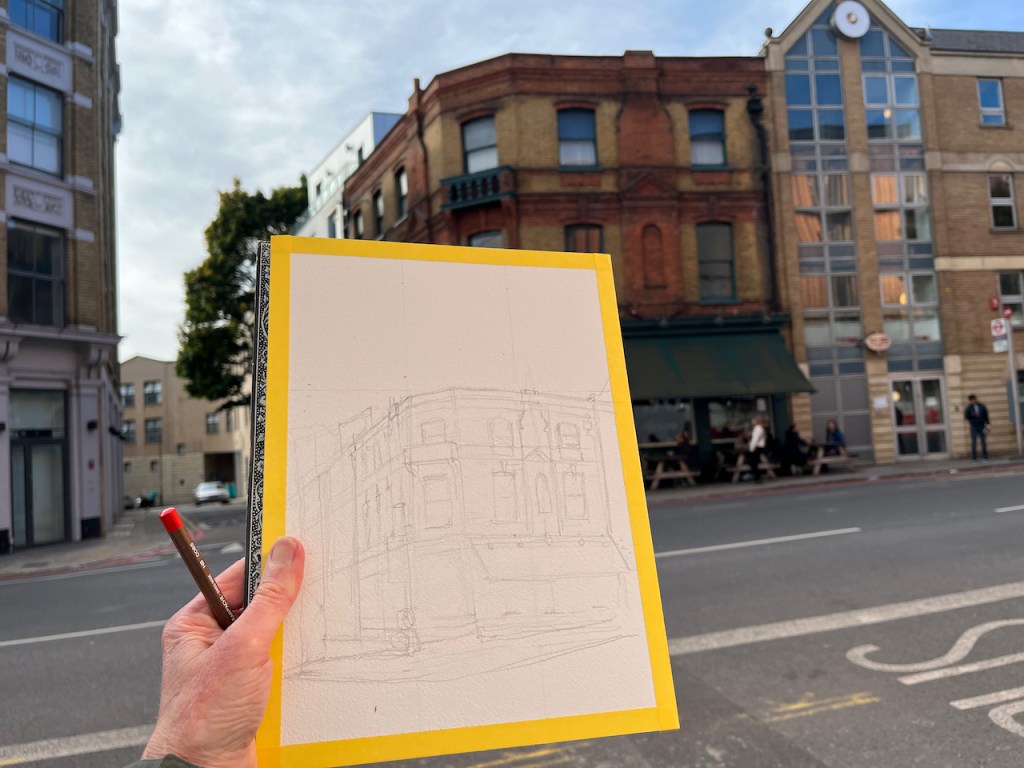
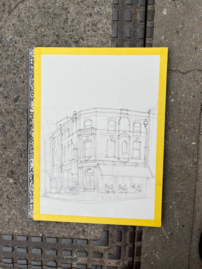
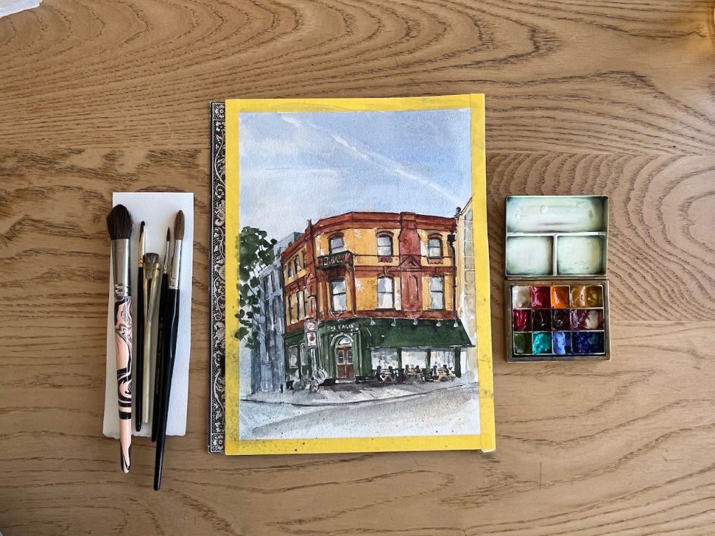
Here is work in progress:

I completed the pen drawing on location and added the colour later:

Thank you to my client for this commission, and for allowing me to post the picture here.

I have also sketched The Eagle, 2 Shepherdess Walk. See this post:

Click the above link to jump to my post about The Eagle Shepherdess Walk.

Old Kings Head, EC2

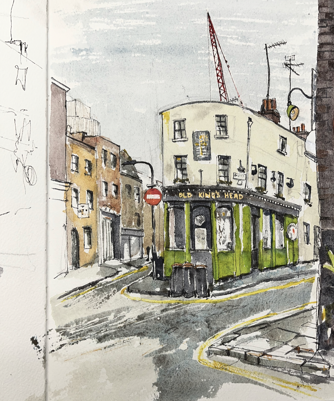
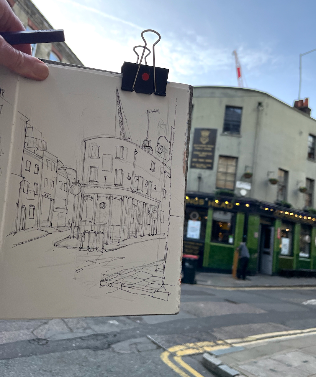
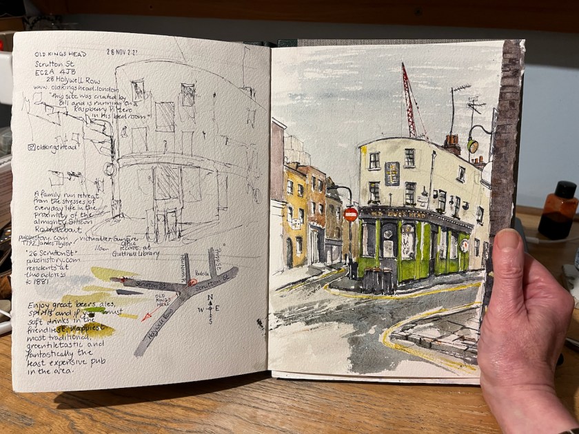
Here is the Old Kings Head, 28 Holywell Row, EC2A 4JB: ” a family-run retreat from the stresses of everyday life in the proximity of the almighty Silicon Roundabout” [oldkingshead.london]

The Old Kings Head, Shoreditch 26 November 2022 in Sketchbook 12

“Enjoy great beers, ales, spirits and, if you must, soft drinks in the friendliest, happiest, most traditional, greentiletastic and fantastically the least expensive pub in the area” continues their website.

I love “greentiletastic“. The green tiles are indeed fantastic: I have tried to show them in my drawing.

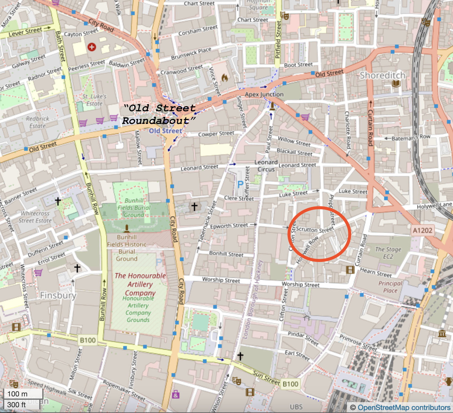
This pub is in a network of tiny streets running at all sorts of unexpected angles. As I sketched, I saw, more than once, an expensively dressed person trailing a carry-on size suitcase, picking their way over the broken paving stones and patched up tarmac, in unsuitable shoes. The person drifted on, towards Old Street, bearing a dreamy mystified expression, as though these piebald buildings did not quite correspond to the mental image they had of their destination, or, more likely, the street pattern did not correspond to the image on their mobile phone. They saw neither me, nor the pub, but seemed to exist in another reality.

This pub is old. According to “pubhistory.com” the earliest landlord was “James Taylor, victualler” in 1792. This is from insurance records in the Guildhall Library.

It sounds like a great pub.

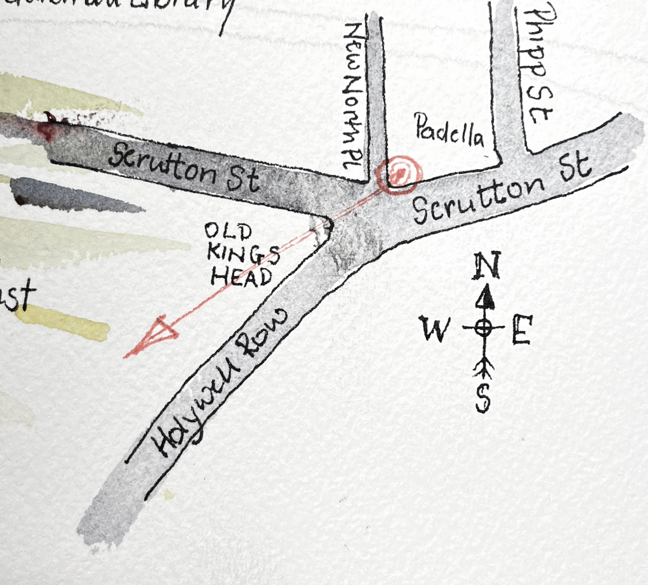
I drew it standing outside the restaurant “Padella”, next to a narrow alley called “New North Place”. New North Place is the opposite of new, but it does go North. To my total astonishment, a huge lorry emerged from this tiny alley, and blocked my view. This is a common hazard sketching in London. It soon moved on though. I was impressed that the driver had ventured into the alley.

Sketchbook 12

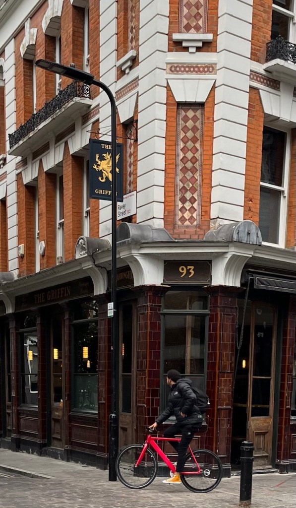
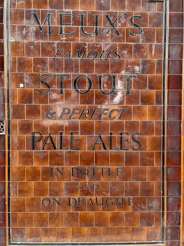
The Griffin, 93 Leonard St, EC2

After I’d sketched The Old Blue Last, I left the thundering traffic behind and walked through back streets of Shoreditch. I encountered “The Griffin”. It seemed like a friendly place, with neat brickwork, and welcoming lights inside. I sat on a low wall, and sketched it, as electric taxis glided past. Or should that be “glid”?

The Griffin, Leonard Street EC2. Sketched on 21 September 2022 in Sketchbook 12.

The pub is built on a slight slope. Ravey Street slopes upwards towards Leonard Street.

Map showing where I sat and sketched “The Griffin”

It’s an area of sharp contrasts. Behind me was the “Nobu Hotel” radically modern. Blackall Street, however, looks unkept, like the seamy side of a garment. The people walking by were various. A group of young people speaking a Germanic language rushed past onto Leonard Street following a route on a mobile phone. Several men in florescent jackets walked towards me in a tight group, studiously conversing and referring to a clipboard which one of them carried. As they passed I realised they were speaking another language, perhaps of a Baltic region, with soft “shh” sounds. A young woman strode past in the opposite direction, frowning, speaking no language but with her mobile phone held at her ear. None of these people paid me any heed. Then a totally different person appeared, dancing a jagged line along the street, with hair in long strands, and a huge smile. He noticed me and marched up, asked how I was, commented on the day, admired my drawing, and offered me a fist to bump in greeting. This done, he completed a 36o degree turn on the spot, and walked loosely on up the street, offering his benign greetings to other bemused passers-by. This is London.

The Griffin is in an area of contrasts.

The area containing The Griffin has recently been totally redeveloped. A new hotel was constructed on Great Eastern Street. These works took place in 2013-5. They included a renovation of the pub itself, and conversion of its first floor into flats. There is extraordinarily detailed research on the whole site done by “The Historic Environment Consultancy”. See this link.

The pub is Grade II listed, the buildings around were unstable, and archaeological investigations were called for. The Historic Environment Consultancy wrote a scholarly account of the state of The Griffin in 2013, in preparation for the redevelopment. They generously put this report online. You can read it on this link or download it here if that link is no longer valid:

The consultant carefully identified the phases of construction of the pub, by looking at details of its structure. For example they observe:

The timbers in the roof are machine-sawn where visible and thus they date the roof to post 1790 and likely to be post 1840.

The Historic Environment Consultancy, Colin Lacey 2013

They conclude that it was constructed in three phases, the first two between 1799 and 1872, and the later one after 1887. This later phase is dated because it included the installation of a Dumb Waiter which was only invented in 1887. It was built as a pub, and has always been a pub.

At the time of their inspection, the consultants noted that the building was on the “At Risk” register:

The building also appears on English Heritage’s Heritage at Risk Register. It is said to be in ‘poor’ condition because, according to the register, of a lack of maintenance.

The Historic Environment Consultancy, Colin Lacey 2013

This poor state is evident from the photos they include in their report, which show plants growing out of the roof, and crackling stone work.

When I sketched it, the pub was in an excellent state of repair, very neat looking, with beautiful patterned brickwork. Worth a visit.

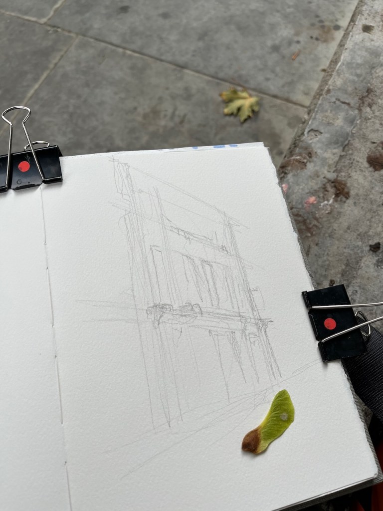
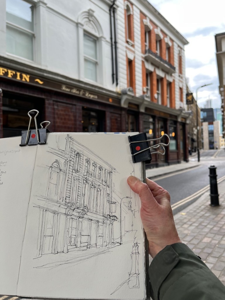
I drew the pub in pen and ink on location and completed the colour at my desk.

The colours are:

  • Ultramarine Blue, Lavender and Burnt Umber for the sky
  • Fired Gold Ochre and Mars Yellow for the brickwork
  • A mixture of all of the above plus Perylene Maroon for the tiled ground level
  • All blacks and greys are Ultramarine Blue with Burnt Umber
The drawing is done on Arches Aquarelle 300gsm cold-pressed paper, made into a sketchbook by the Wyvern Bindery. The pen I use is a Lamy Safari with a fine nib and De Atramentis Document Black waterproof ink, both from “The Writing Desk”.