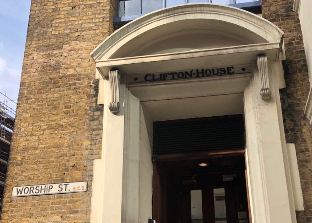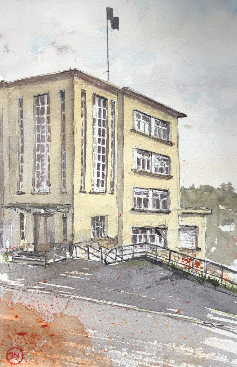
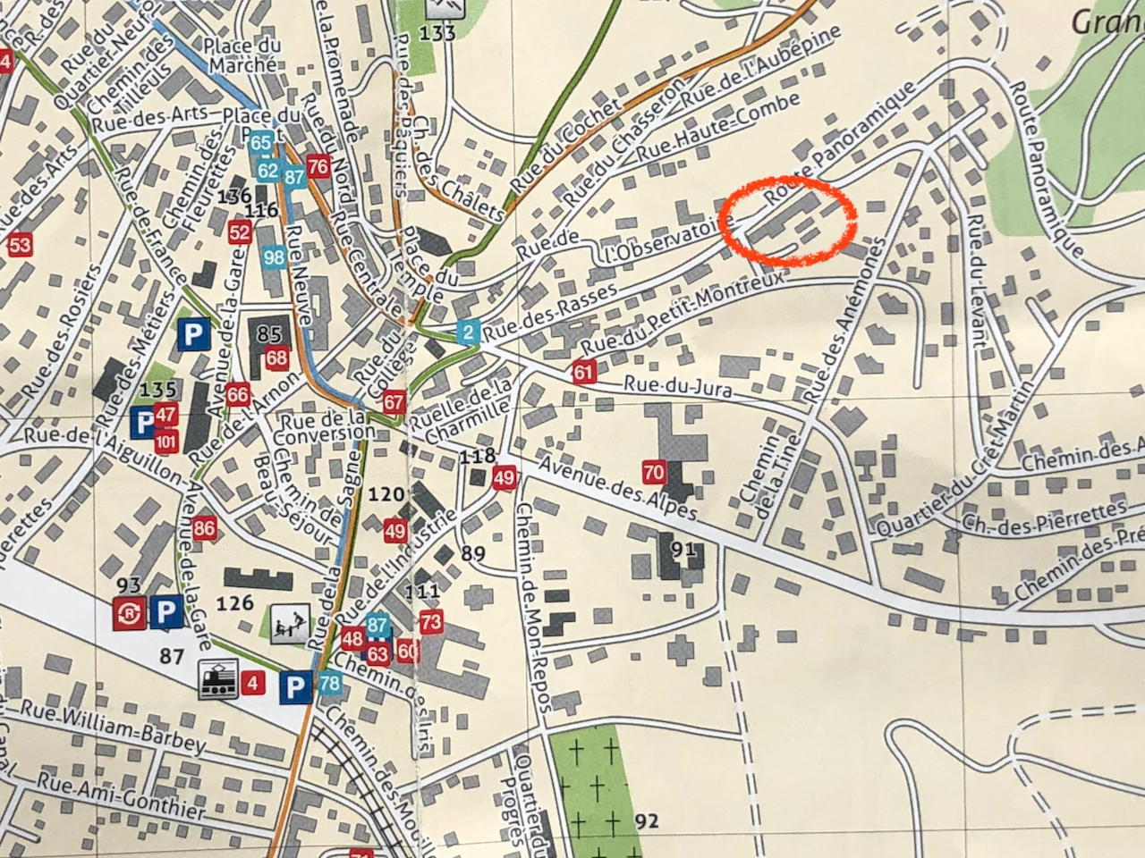
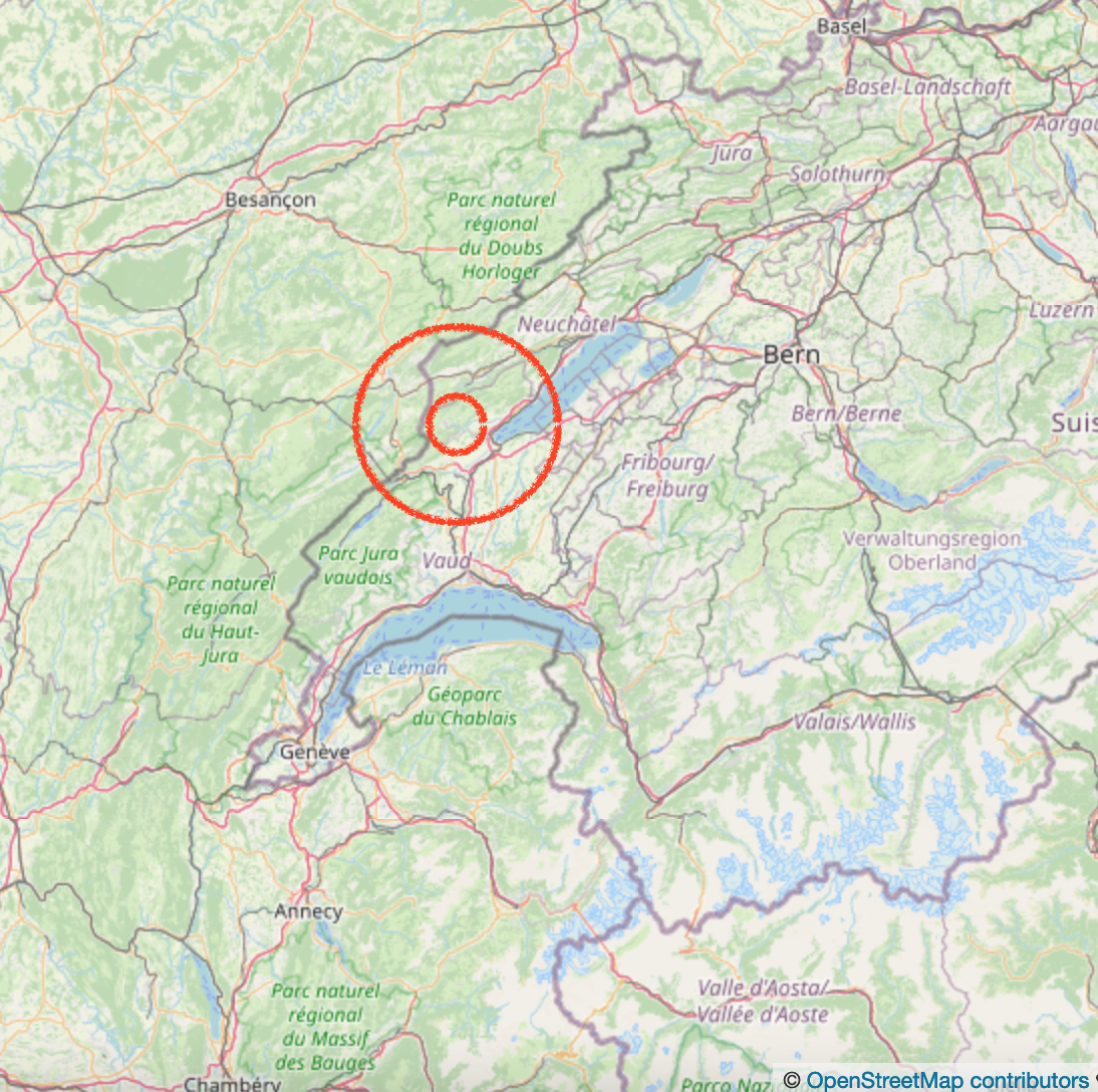
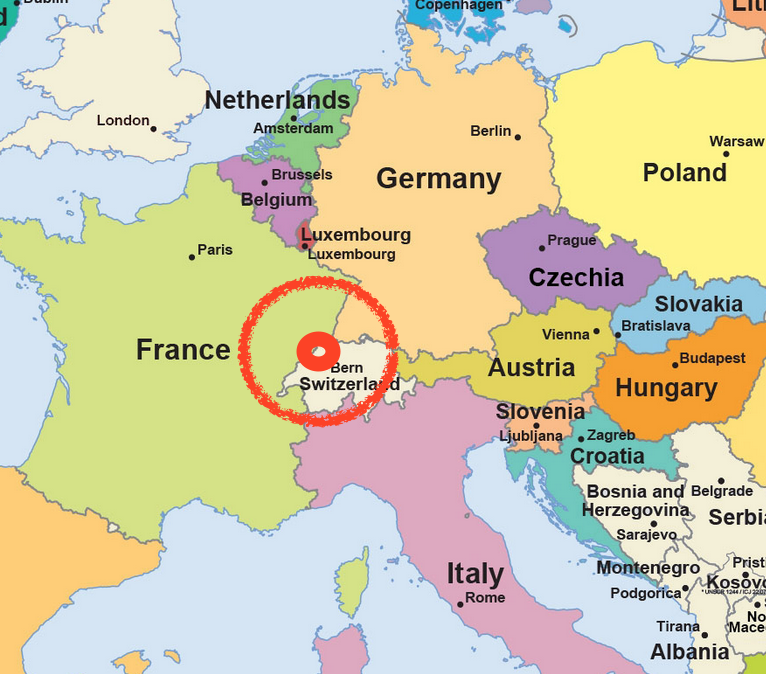
This building is on the Rue des Rasses, in Sainte-Croix, Vaud, Switzerland. For maps, see end of this article.

There is much that is interesting about this building: there is the building itself, a 1930s marvel, there are the original occupiers, and there are the current occupiers.
The building was constructed in 1929-1930 as a factory for Reuge, the music-box makers. Reuge had already been operating for some 55 years by that time, starting with a pocket-watch shop in 1865. The factory operated for 85 years, until 2015, then they moved production to another site. Here is a picture of the factory fully operational, from a Reuge publication dated 2007 1

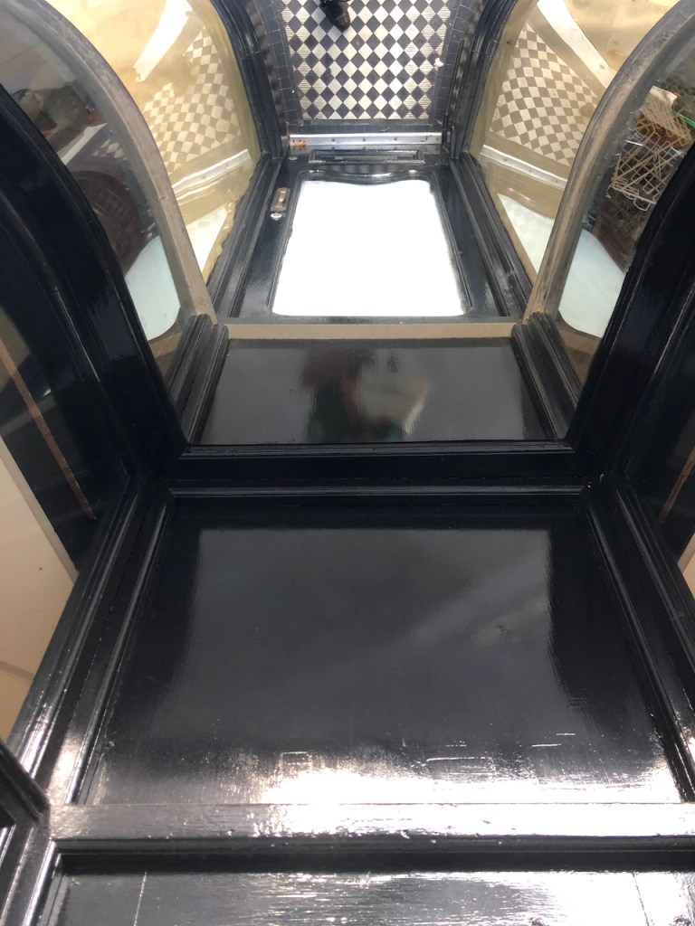
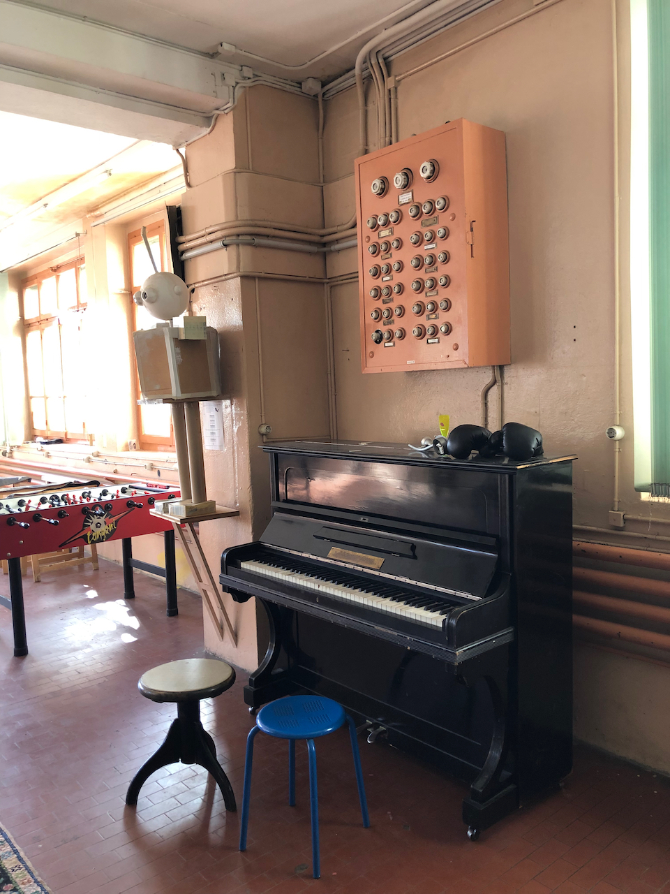
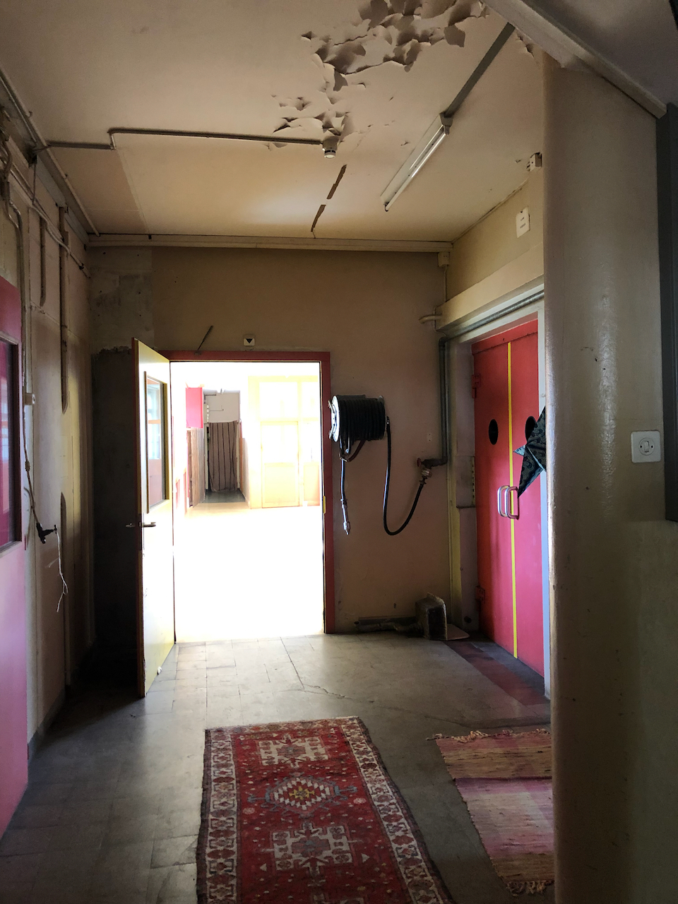
In June 2016, Reuge still owned the building, even though they’d moved their production out. They still used the wood-panelled showroom to demonstrate their music boxes. Here are some pictures from when I visited the empty building at that time:

Music box demonstration room 


Since around November 20193 the building has been occupied by a group called “le Baz”. They are a self-governing collective, who have created a “ZàB” in the former Reuge building. “ZàB”, their website2 explains, stands for “Zone libre à Bâtir”:
C’est une zone autogérée d’expérimentation, d’émancipation, de solidarité et de lutte, et pas un espace de consommation passive. Elle est ouverte à toutes et tous à toute heure décente. Et ce pour souffler, partager, apprendre ou transmettre de manière spontanée. Toute personne présente devrait pouvoir répondre à vos questionnements concernant le fonctionnement. Tout comme vous, elles ne sont ni responsables, ni programmateurices, ni animateurices, mais ni plus ni moins que les acteurices d’une création collective.
It is a self-organised space for experiment, emancipation, solidarity and struggle, and not a place for passive consumption. It is open to everybody, at any reasonable time. It’s where you can breath, share, learn or communicate at will. All the people here should be able to answer your questions about how it works. Just like you, they are not the managers, nor the schedulers, nor the facilitators, but no more and no less than the participants in a collaborative creation.
[My translation]
I took them at their word, and showed up at an “heure décent”, which as it happened was about midday. As I hesitated in front of the door, a young man asked if he could help me. I said yes, would it be possible to go in? He said yes of course, had I not read the notice on the door? I said I had. But he was already about his business, rushing ahead of me, and had left the door open. So I went in.


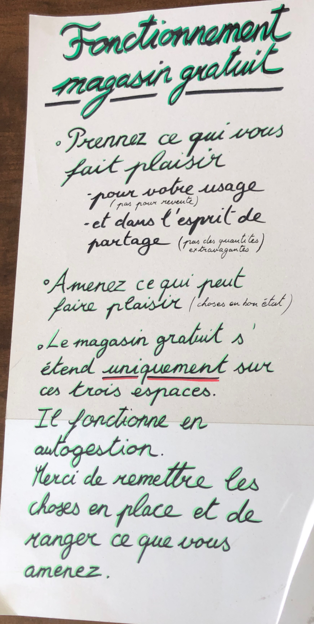


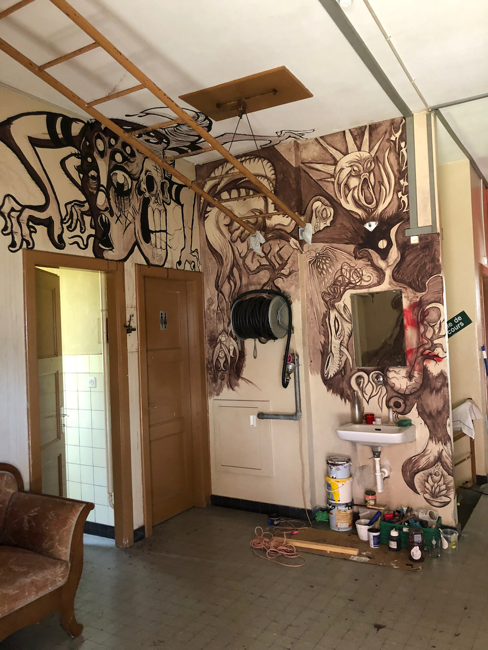
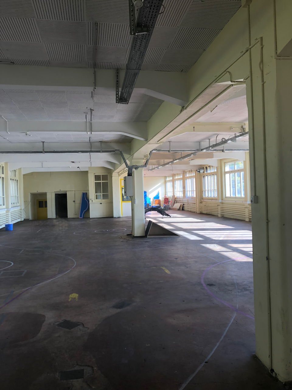
I walked around the empty spaces. It was all clean and organised. Someone had recently been working on the wall murals: there was a smell of paint. There are huge areas of blank wall and vast empty rooms. There is a “magasin gratuit” where you are invited to take what you need or bring goods to donate. A handwritten notice explains how it works.
I didn’t meet anybody.
On the way out, I did meet someone. This was a young woman, who smiled and asked if I was visiting: “Vous faites le tour?” I said yes I was. She recognised me, because she’d seen me drawing, three days previously. We chatted for a bit. She explained some of the history. The town had been opposed to their use of the site. Some people thought we were squatters, she said: “ils pensent qu’on fait le squatte”. But no, she said, we are not squatters. In principle, “no-one sleeps here the night”. And they have the permission of the owner. Well, they had the permission of the owner. But things have changed…. so the situation now is, well, “un peu ambigue”, a bit ambiguous.
She smiled. She liked it there. She said that it was surprising how little one needed, just “les un ou deux trucs” a few things needed for existence.
“And friends,” I suggested.
“Yes,” she agreed, “and friends.” She told me her name and asked me mine. “Come back,” she said, “any time. Boir un café.” And she set off down the slope, towards a young man waiting patiently below, by the collection of wooden outhouses.
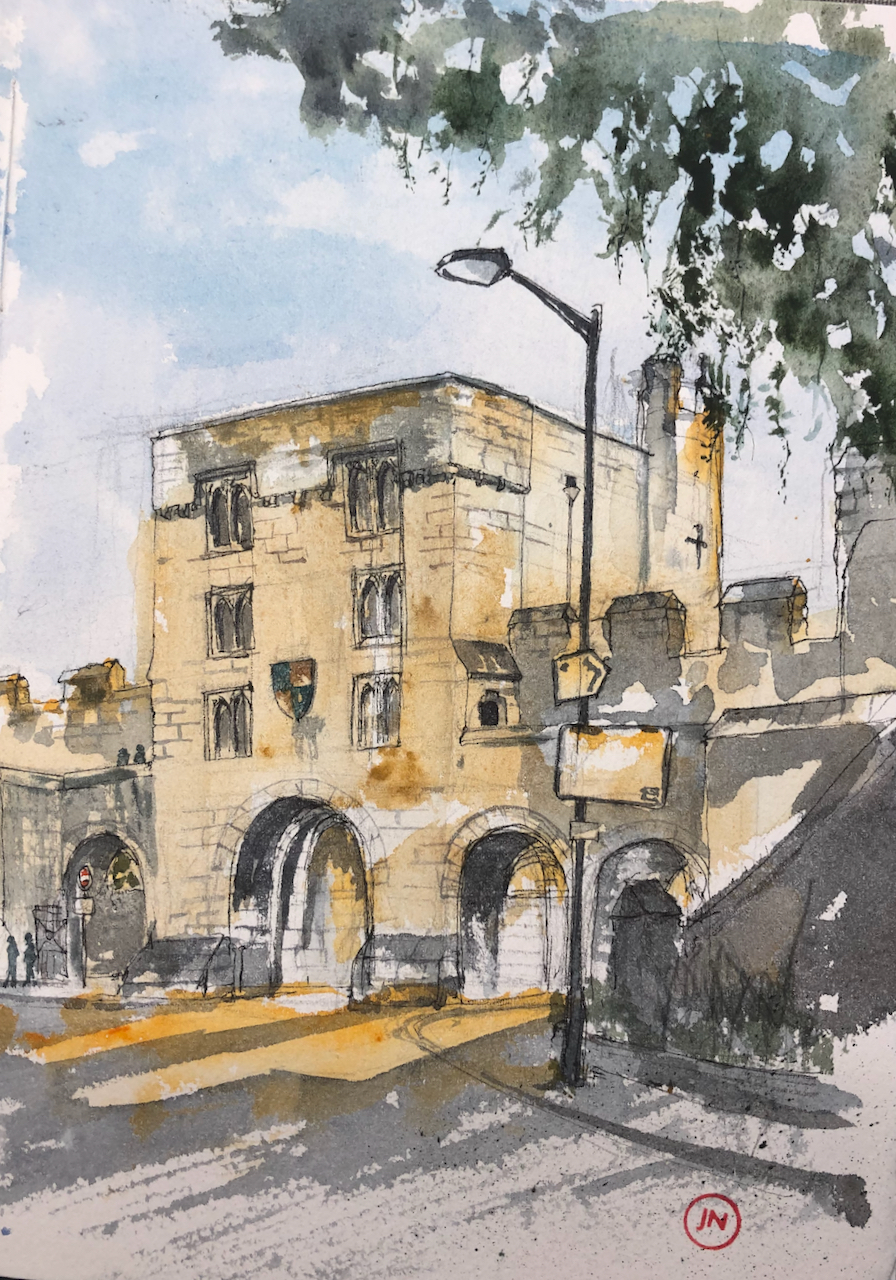
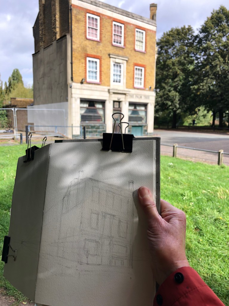
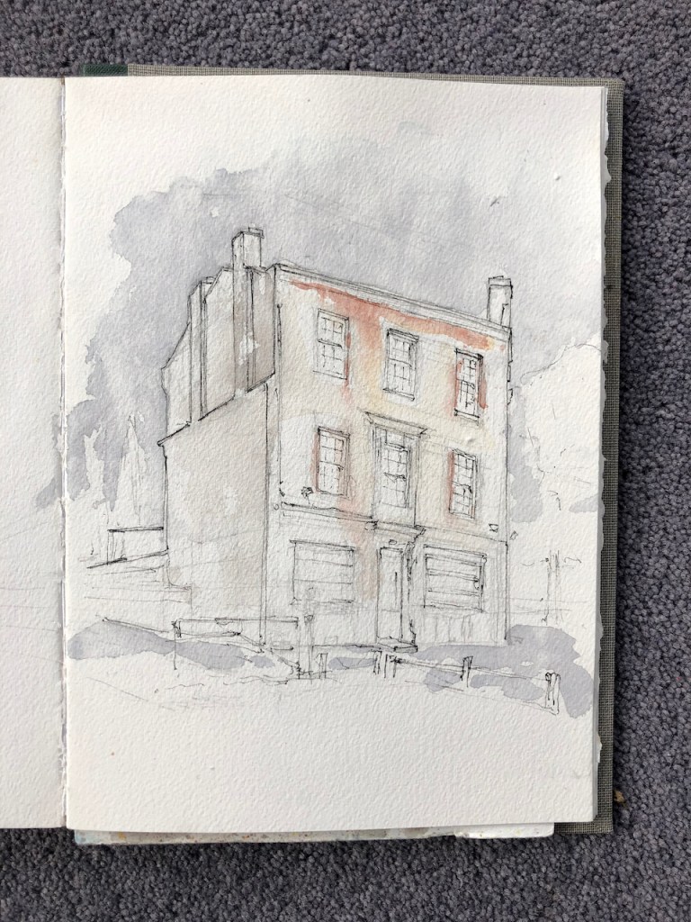
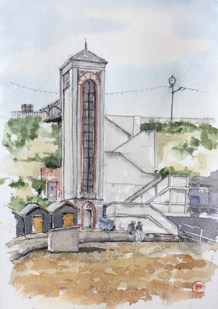
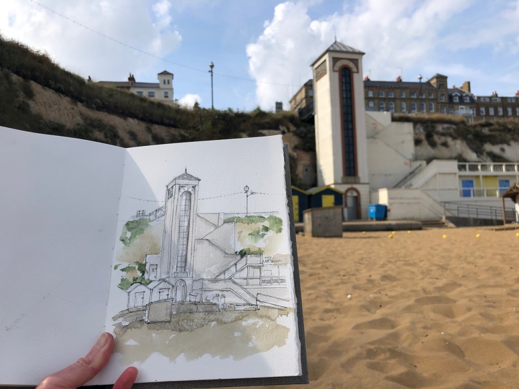
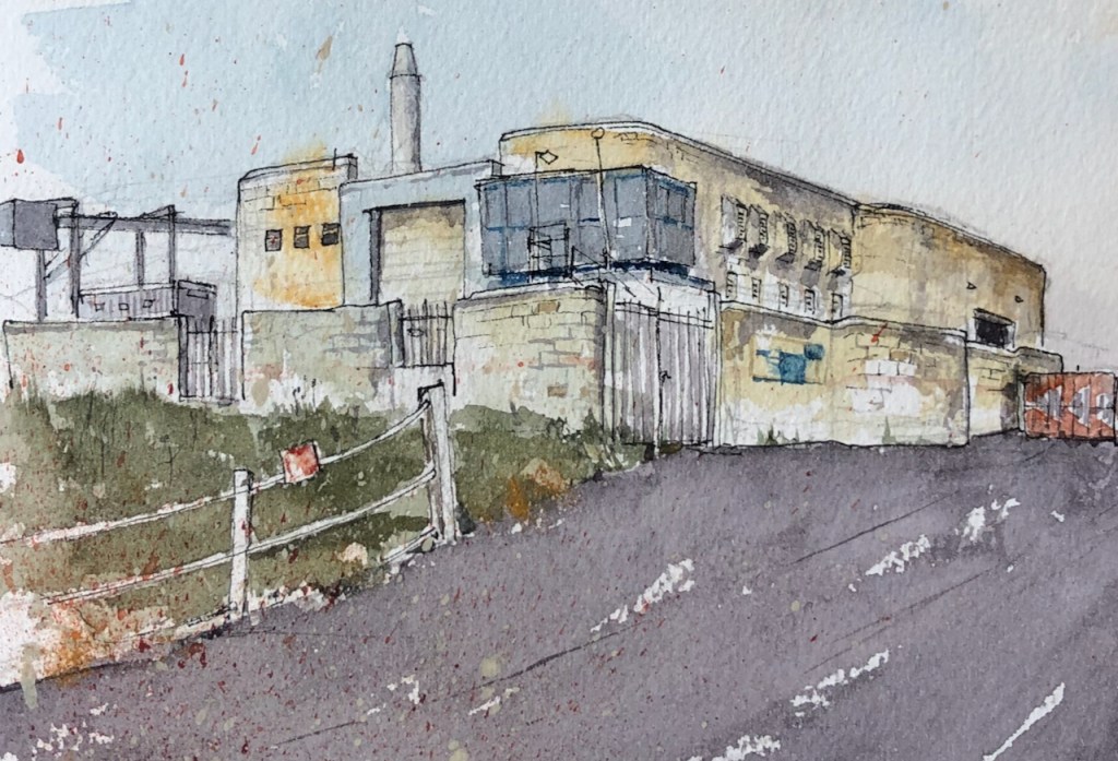
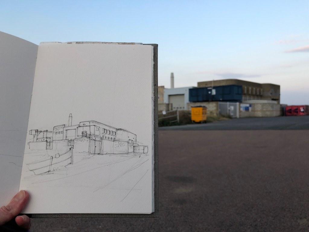
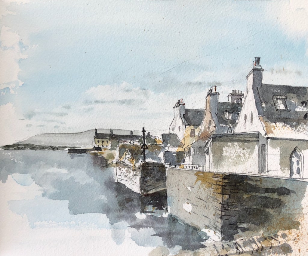
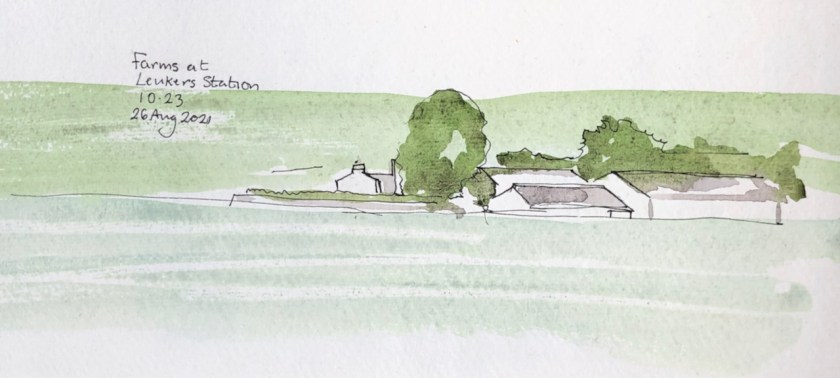
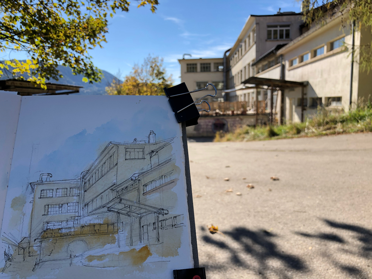
Here is the picture I had been drawing when I first met the woman.
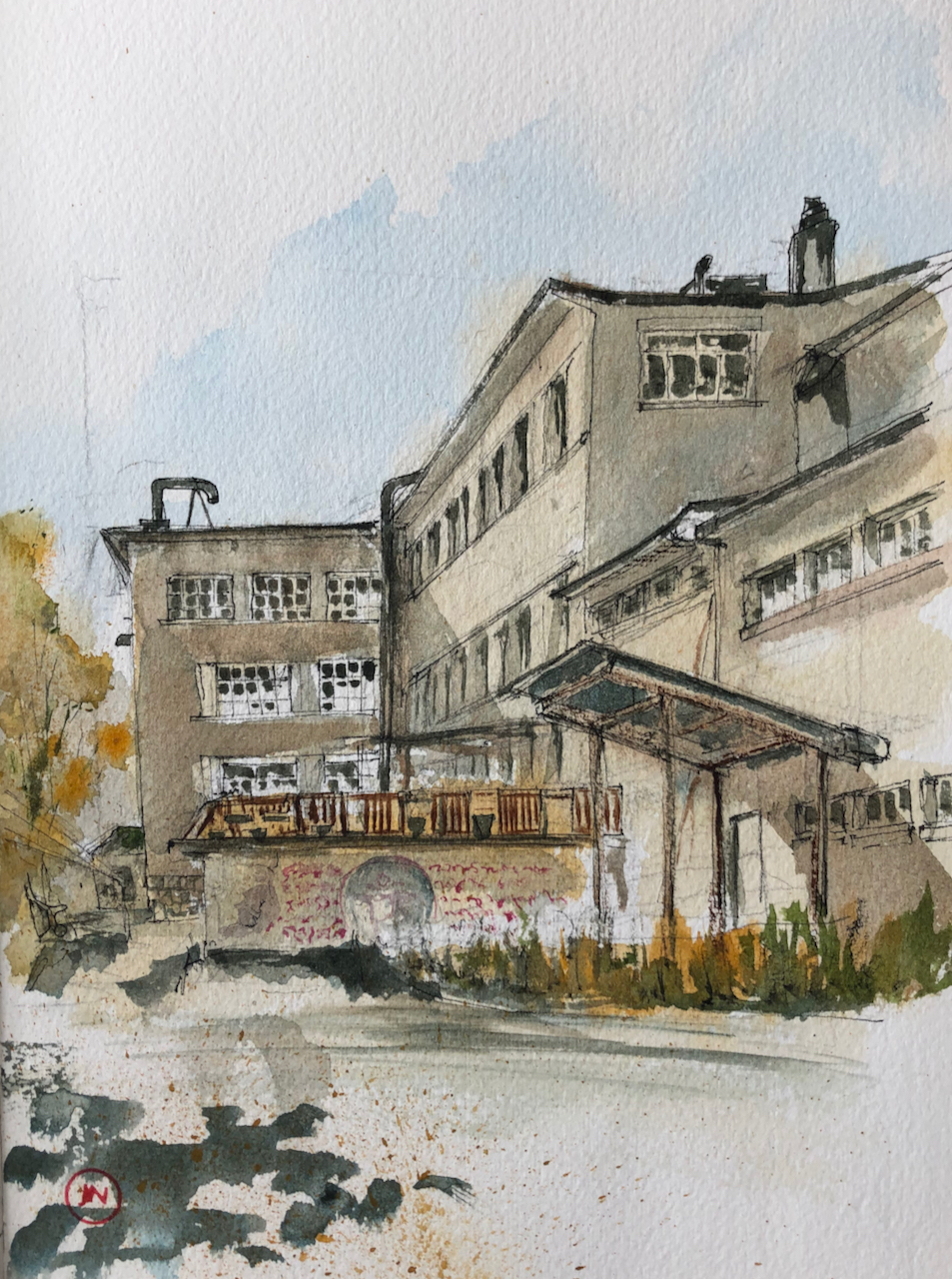
In this view you can see evidence of the current occupiers. They have built a fence, made of wooden pallets, on top of a concrete platform which is part of the original building. On the concrete wall are inscriptions in a flowing calligraphic script I did not recognise, and a large symbol in a roundel.
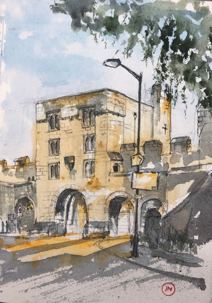
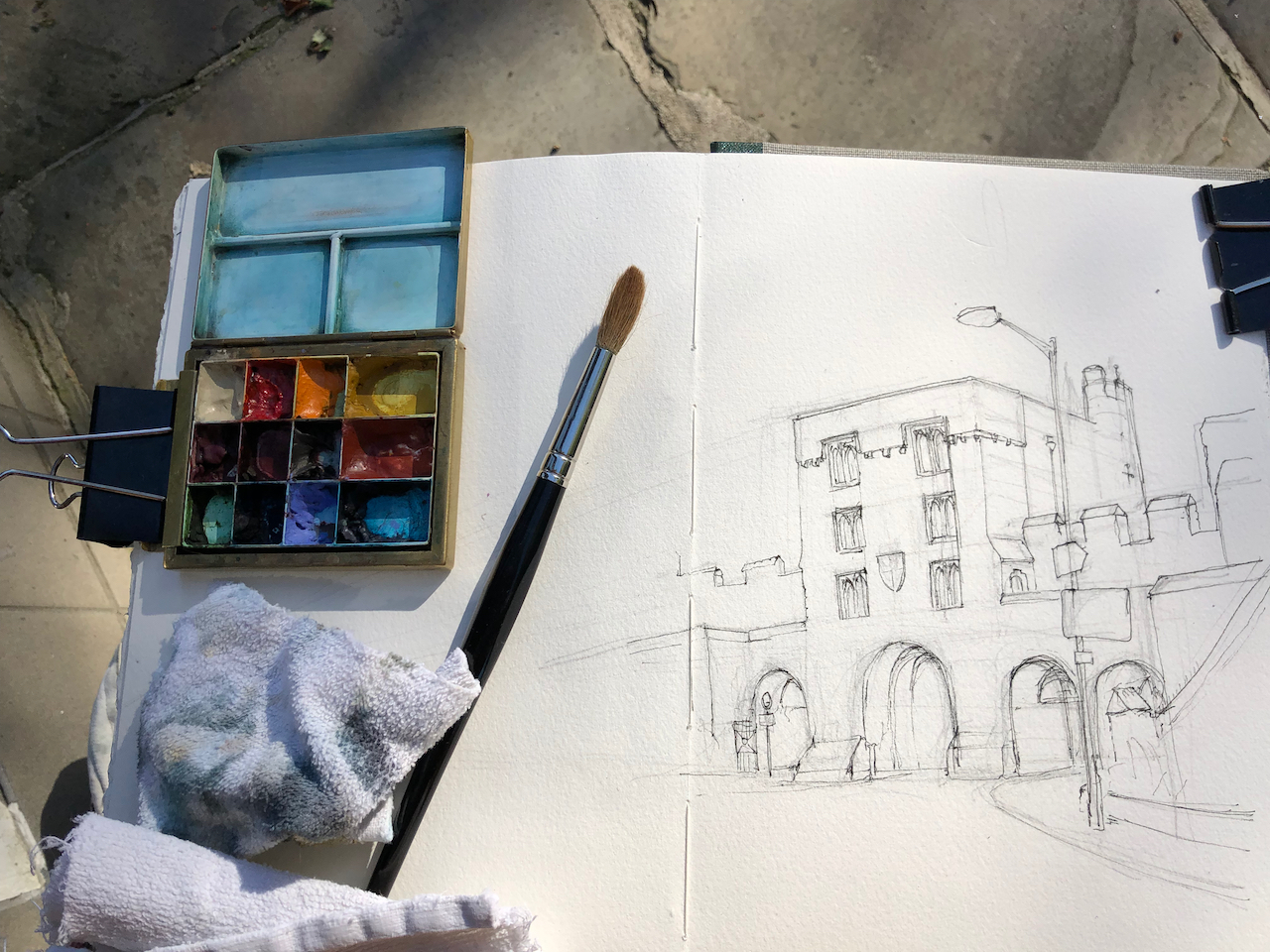
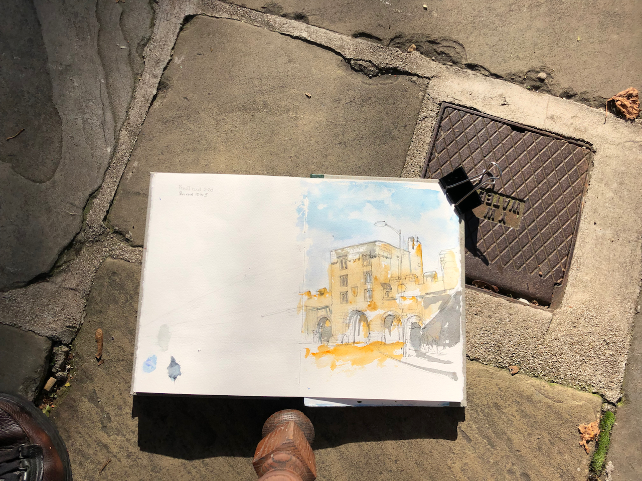
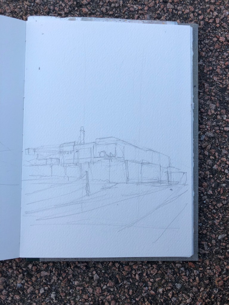
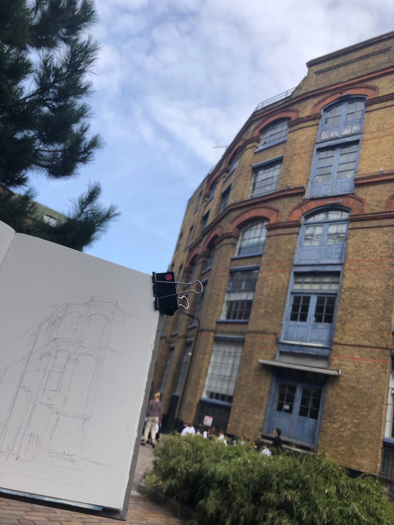
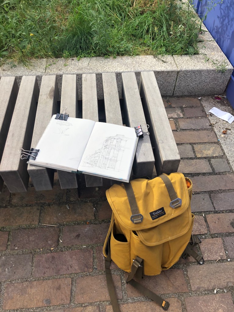
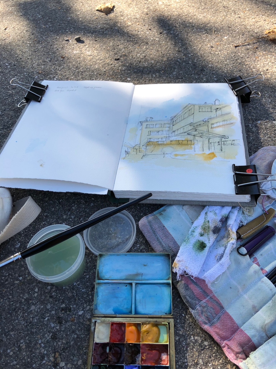
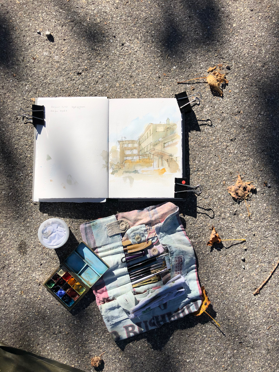
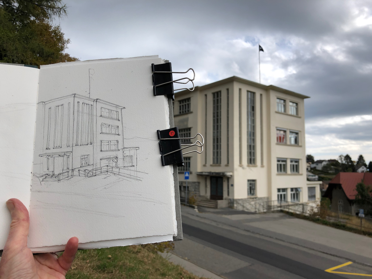
Here are some external views and work in progress on the drawings:
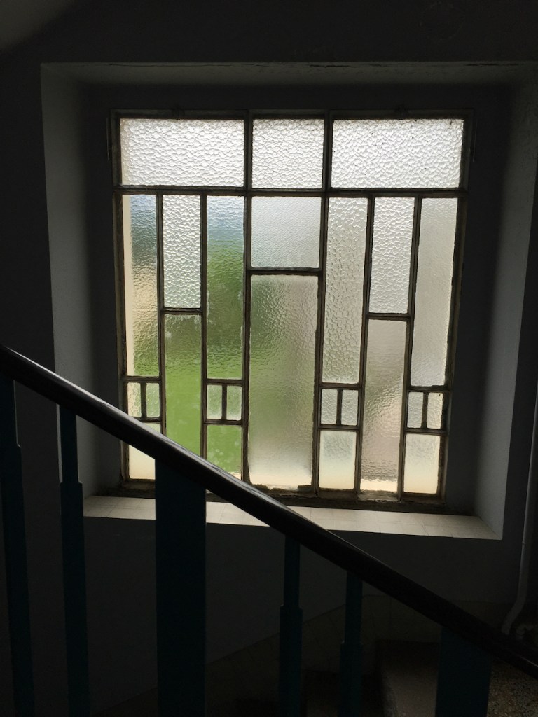
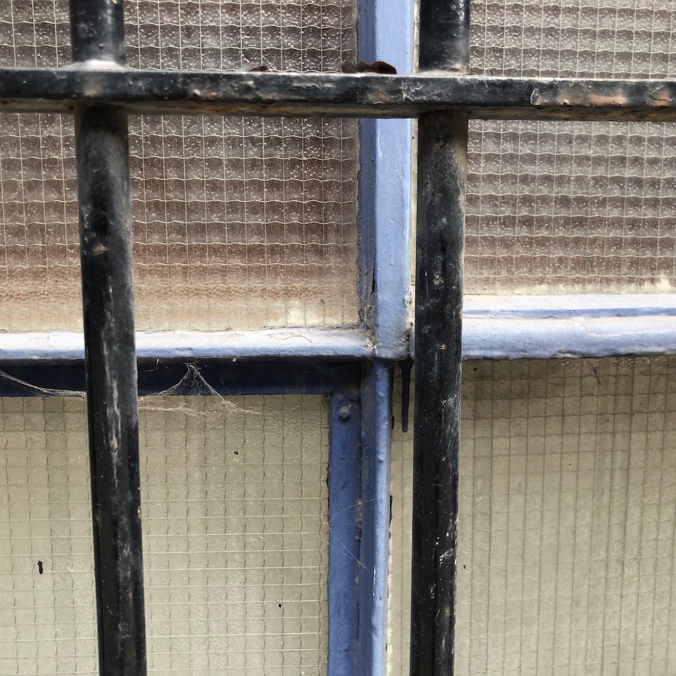
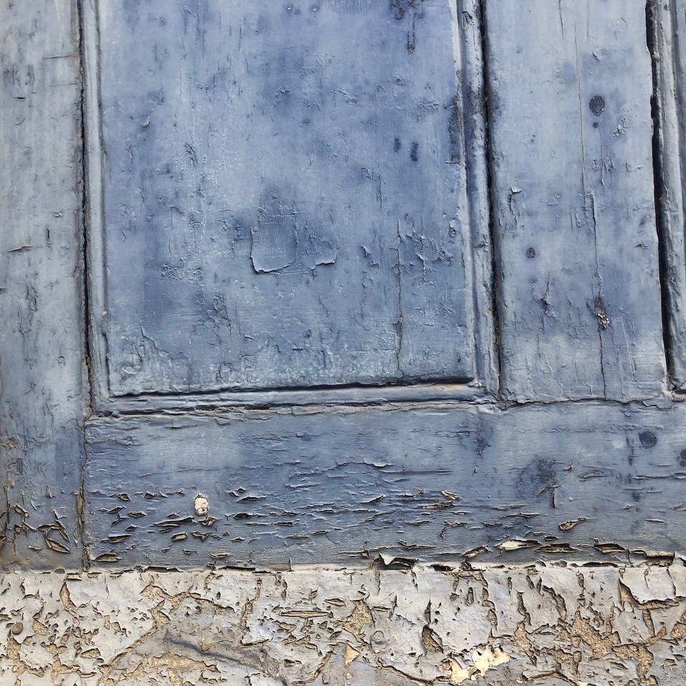
Window from inside, June 2016 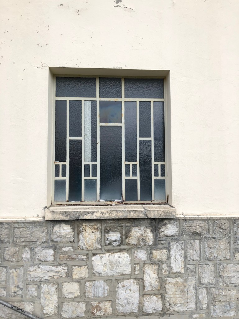
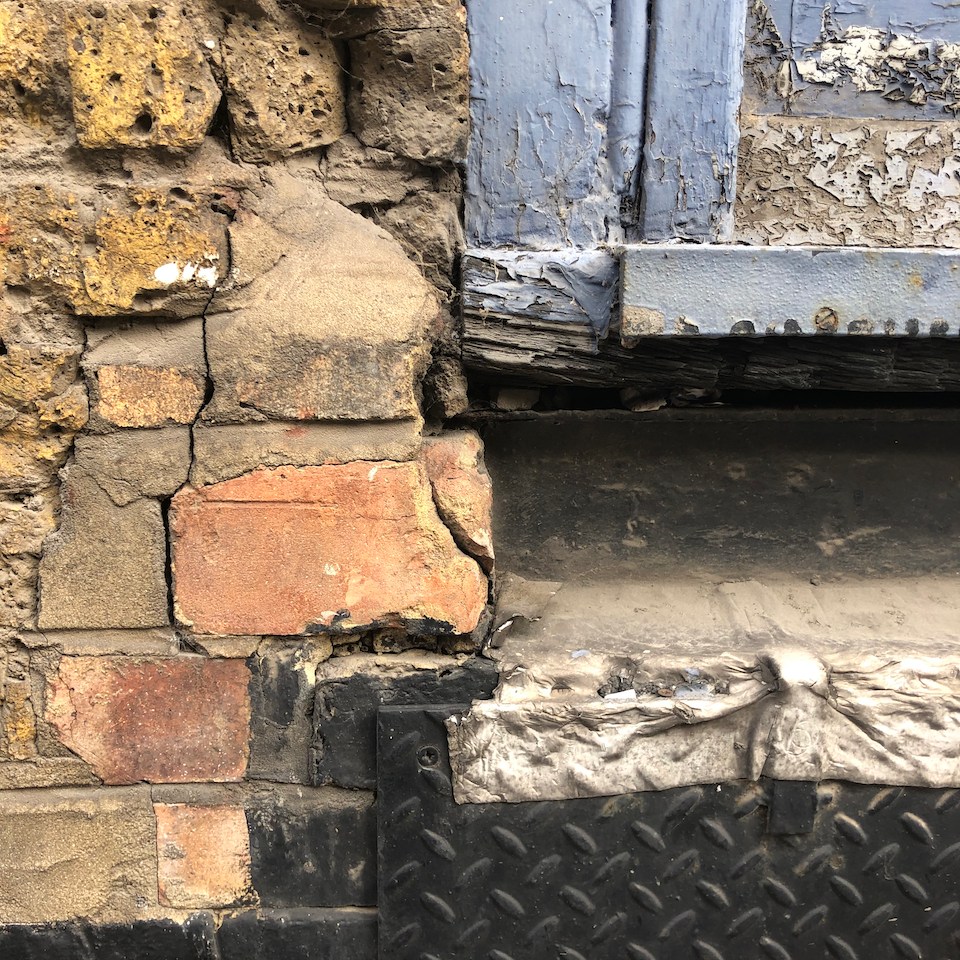
Window from outside, October 2021 
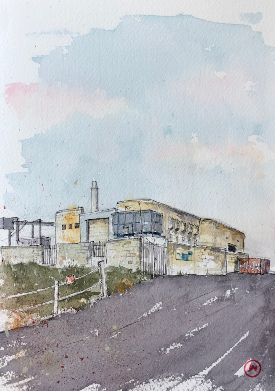
Building exterior, October 2021
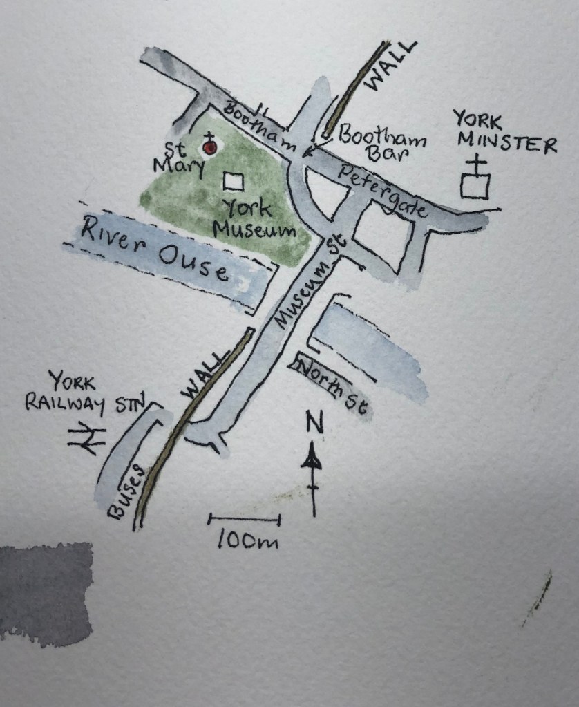
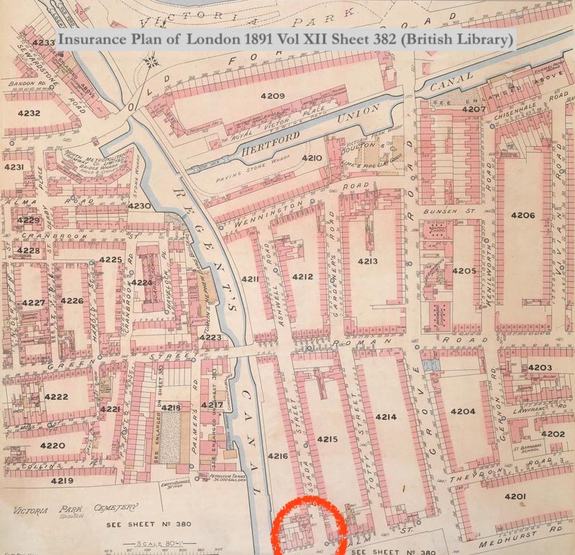
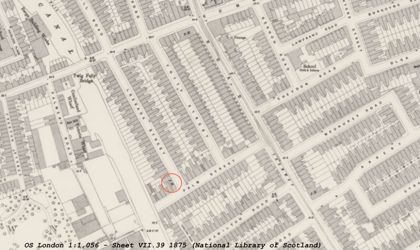
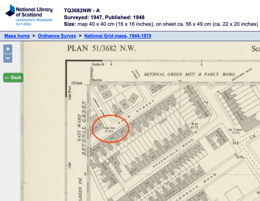
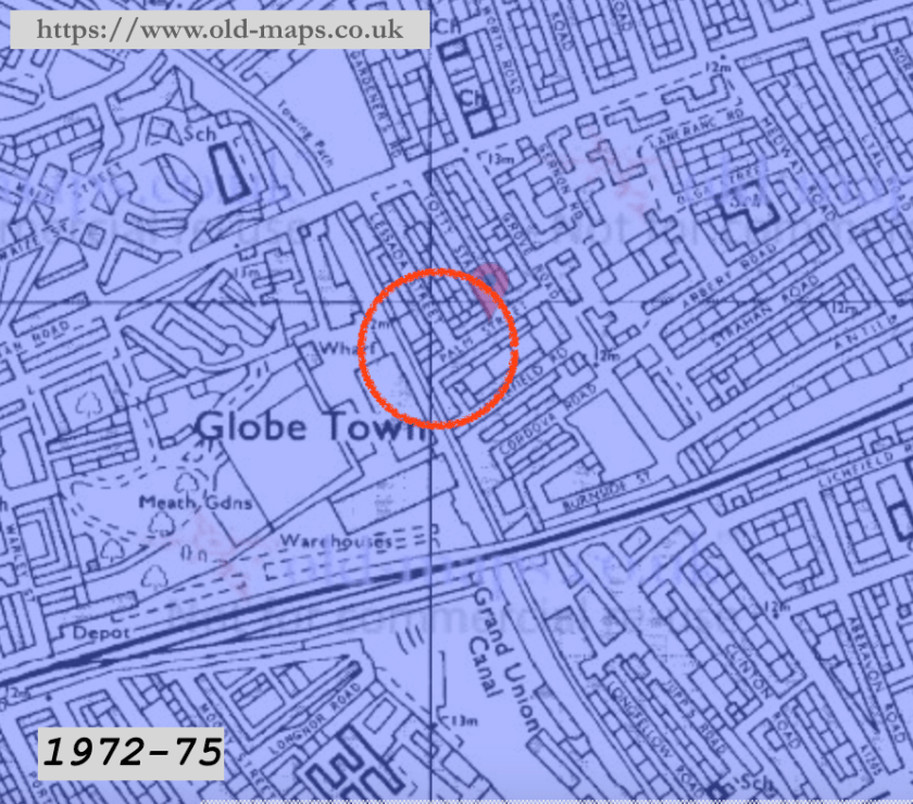
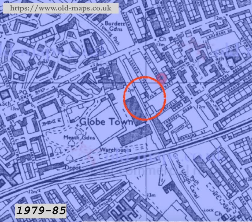
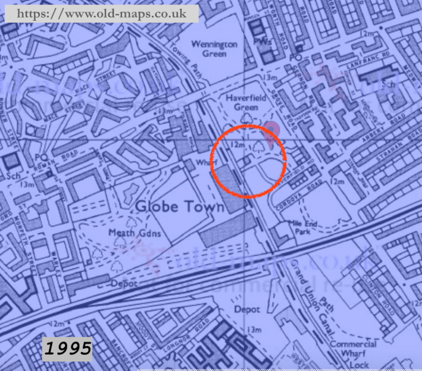
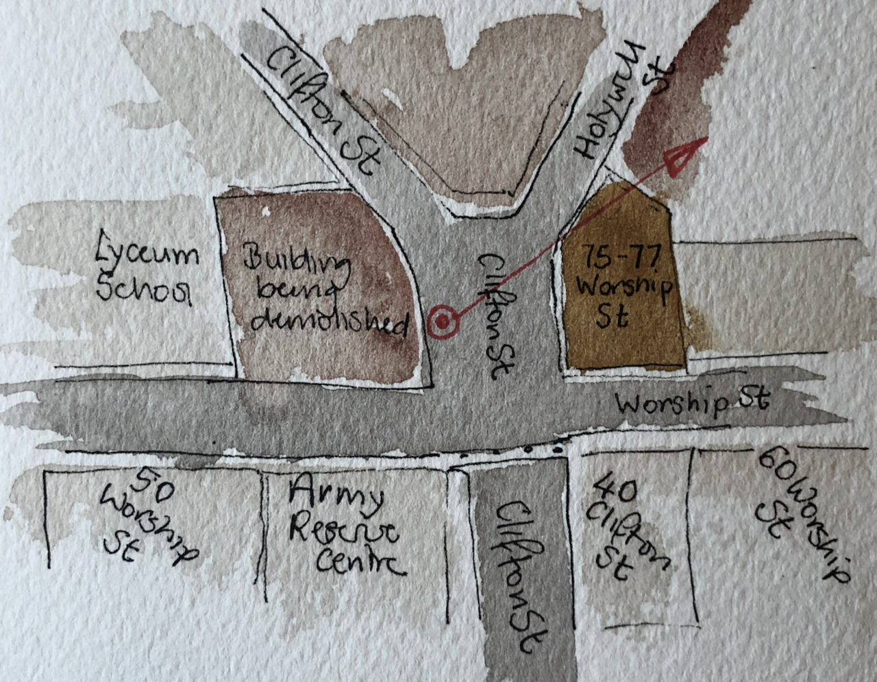
Here are maps:

References:
- Reuge, the Art of Mechanical Music, Secrets of the Reuge Manufacture, published by Reuge in 2007. Picture of the factory in the snow is from the frontispiece.
- Website describing Le Baz, and the Zone libre à Bâtir: https://pantographe.info/ downloaded 22 Oct 2021
- The local newspaper <<24 heures>> carries articles about how the current occupiers took over the buildings and disputes between the current occupiers and local residents. See for example the article by Frédéric Ravussin, 22.11.2019, 06h51. These newspapers are available on the marvellous digital resource: Scriptorium from the University of Lausanne.