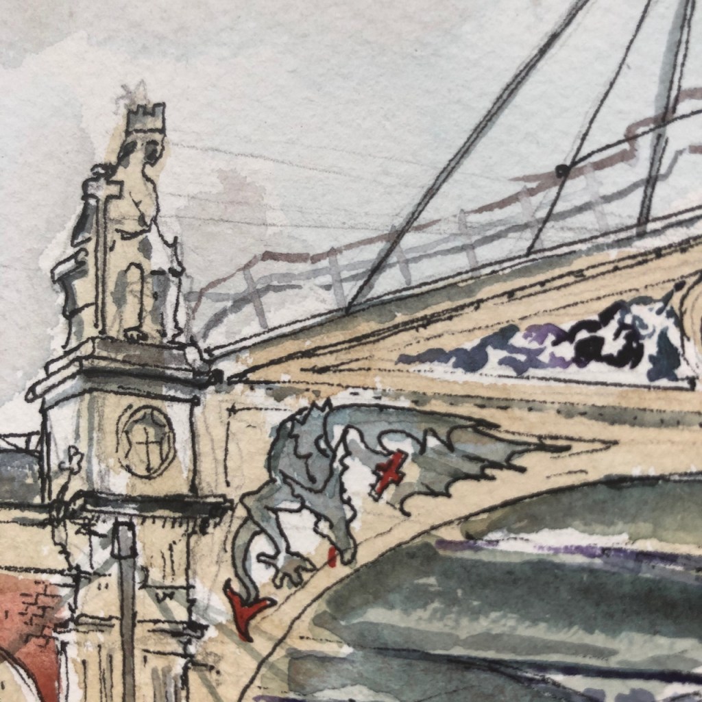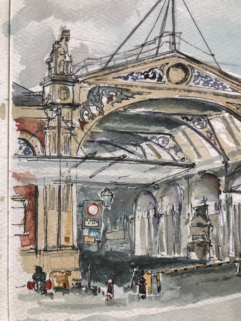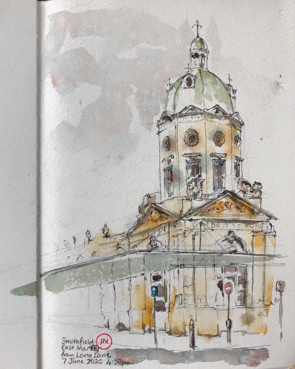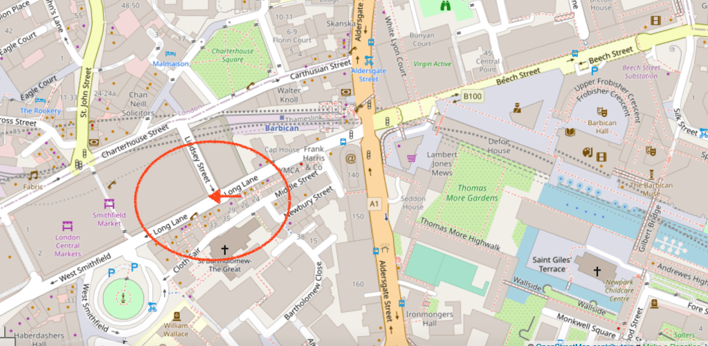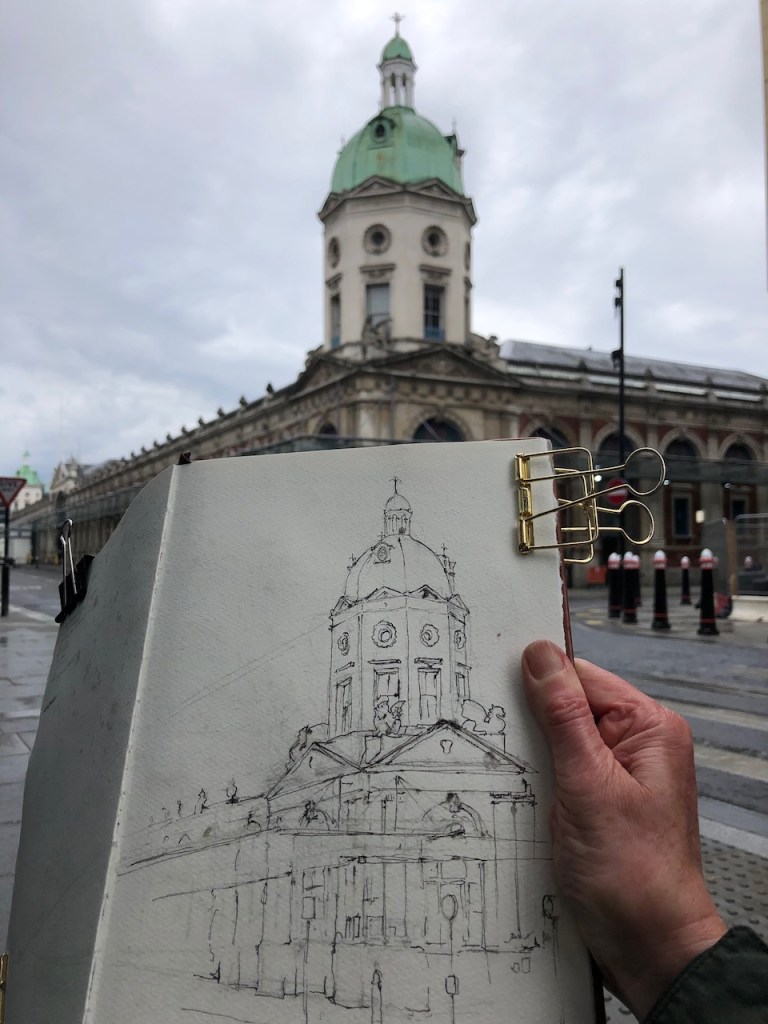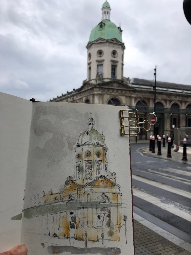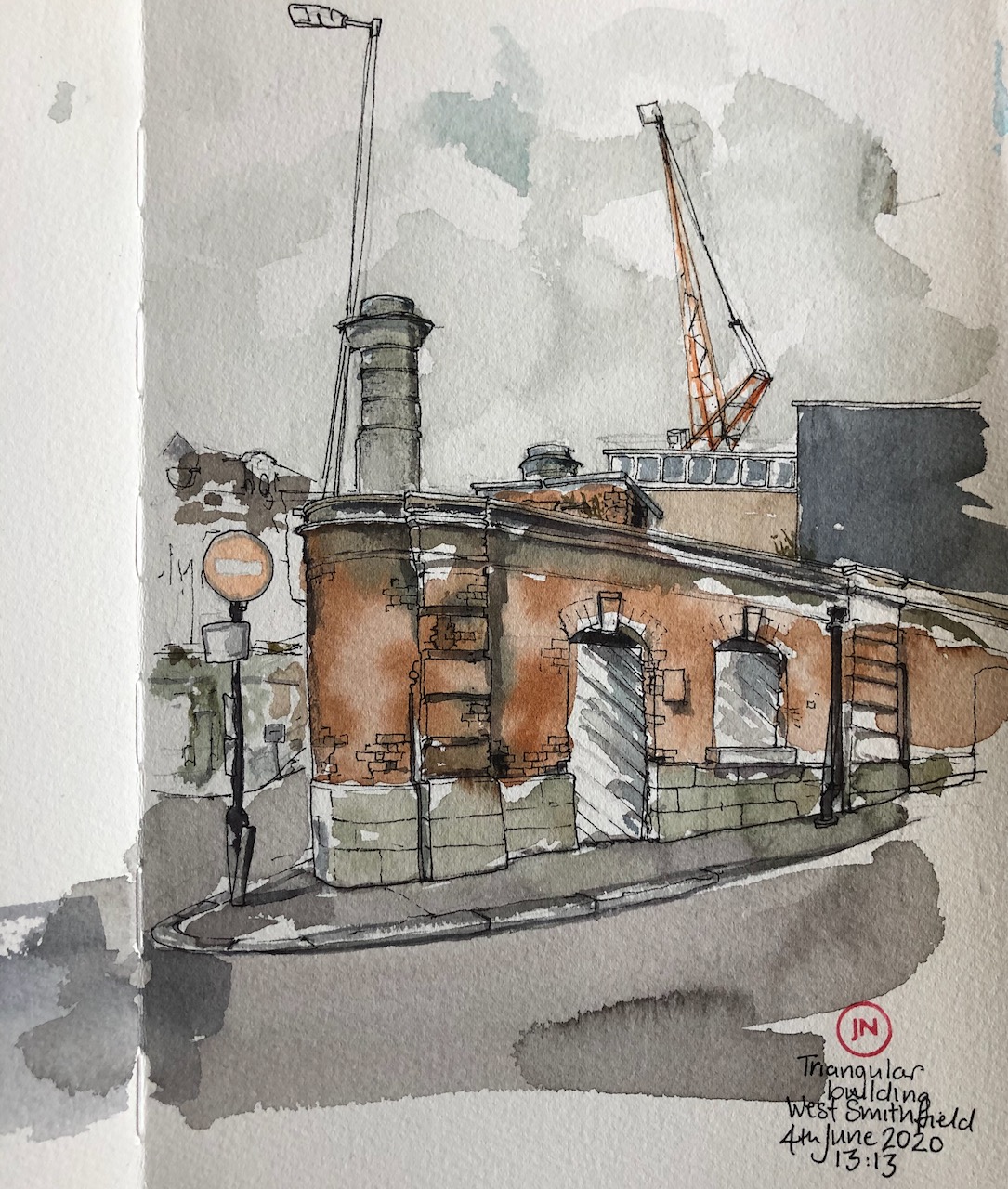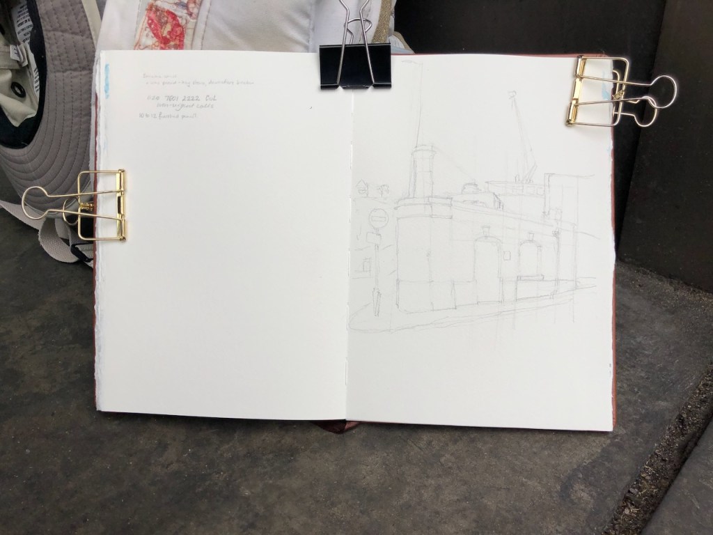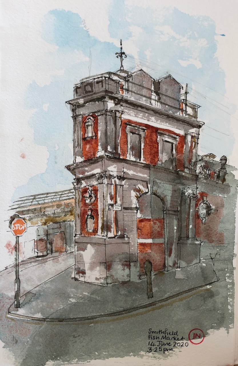
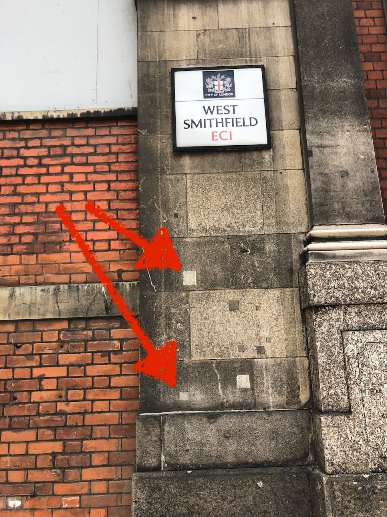
This building is at the Westernmost side of Smithfield Market. It is a corner of the former Fish Market, built in 1886.

I thought I’d picked a good place to stand and draw. But no. When I was about 10 minutes in, I realised that there was a more-or-less constant stream of cars queuing for the traffic lights. They queued for several minutes then they went off. There was much to observe about this. A surprising number of cars were playing loud music with their windows open, assuming, I guess, that everyone would enjoy their choice of music. And I thought modern cars switched their engines off when stationery? But evidently I am mistaken about this. No-one switched their engines off. Except one person.
A motorbike came up to the red light, a black Kawasaki. The rider was all in black, with a black helmet. The black helmet inclined slightly. I took it as a greeting. Then a gloved hand switched off the engine. I smiled at the helmet and nodded my thank you. Then the lights changed, the engine ignited, and the bike moved off. If that was you, thank you.
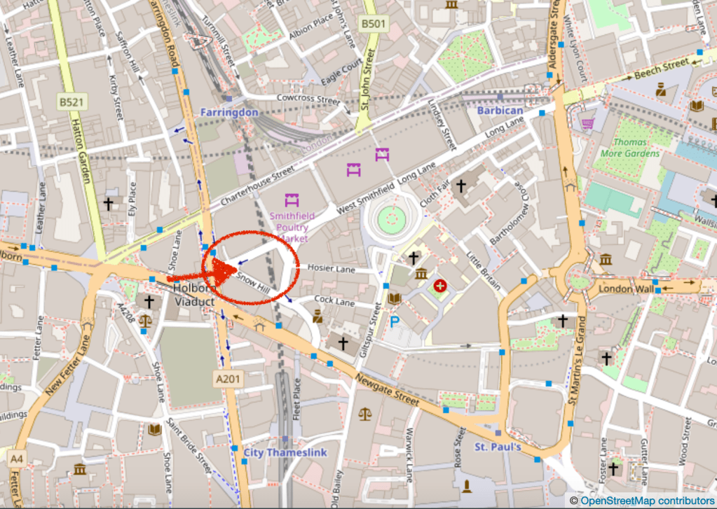
© OpenStreetMap contributors
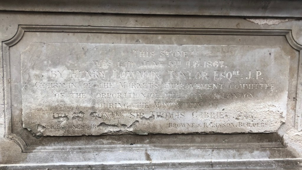
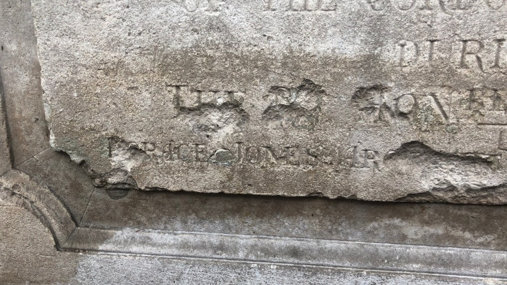
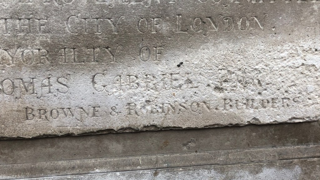
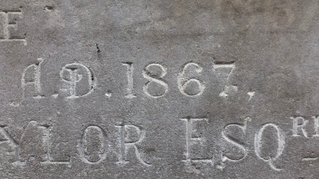
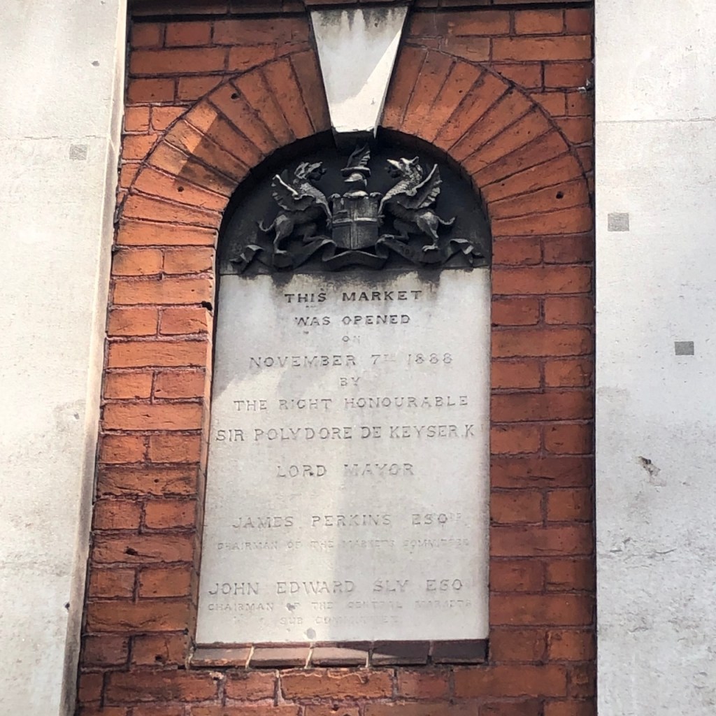
Here is a plaque that is on the side of the building I drew. It is heavy marble, somewhat damaged, and the inscription is hard to read. I transcribed it as best I could.

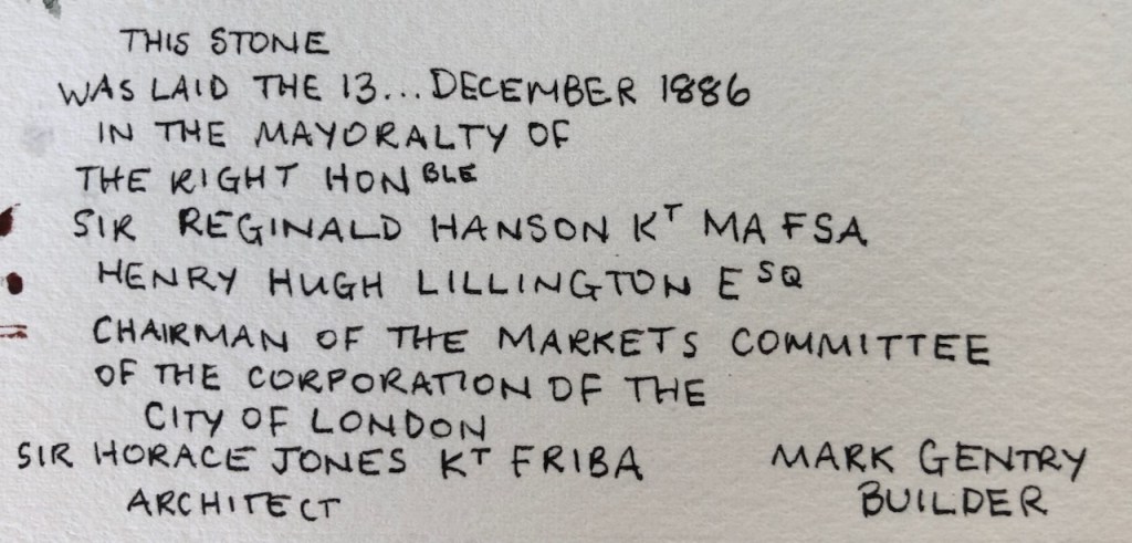
As you see, the marble plaque has been damaged and repaired. An adjacent part of the building likewise has been repaired in the same way, with little square and rectangular sections. Much erosion and damage has occurred elsewhere the building and not been repaired. So what is this? Could it be very early damage? If I were to guess, I’d say it was bullets, or shrapnel, damage. What happened?

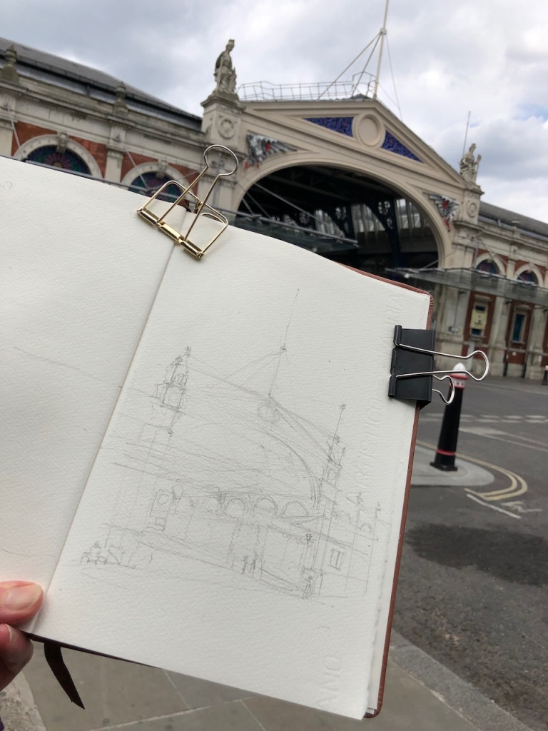
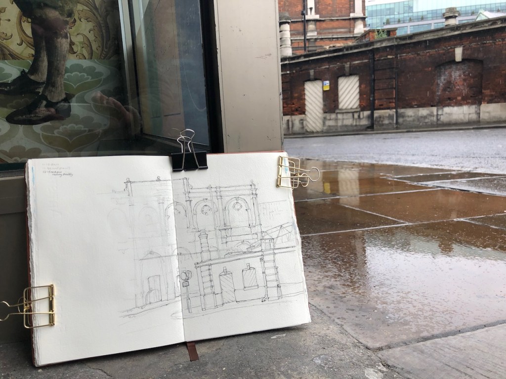
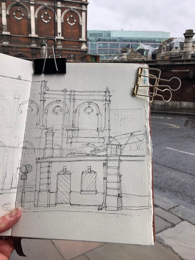
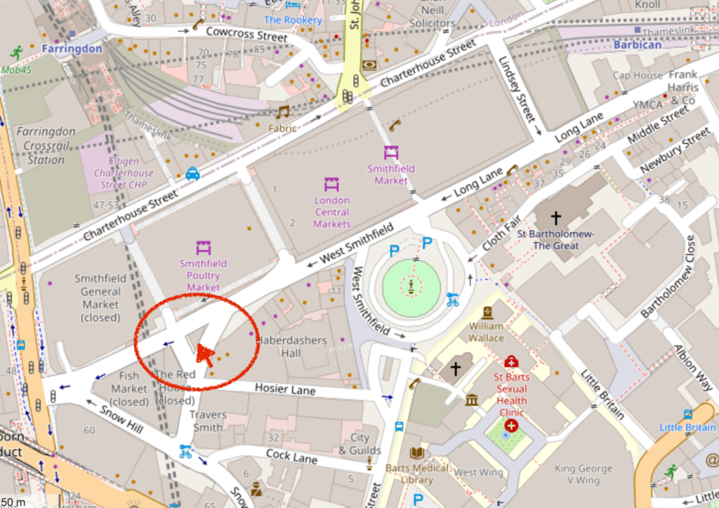
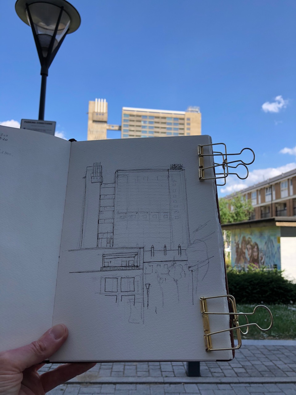
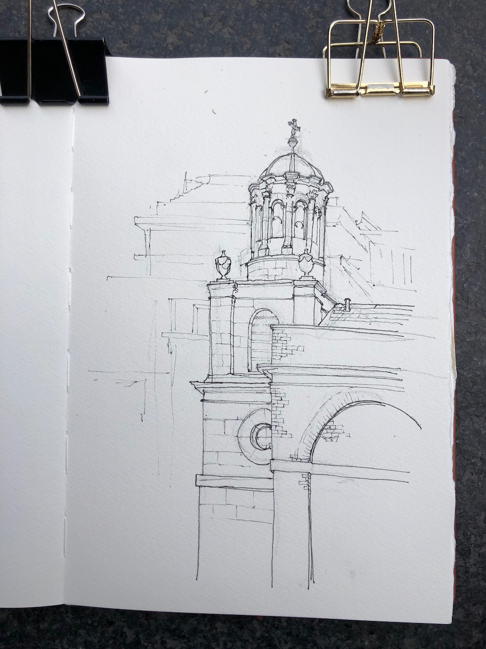
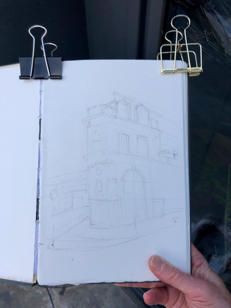
Here is work in progress on the drawing.
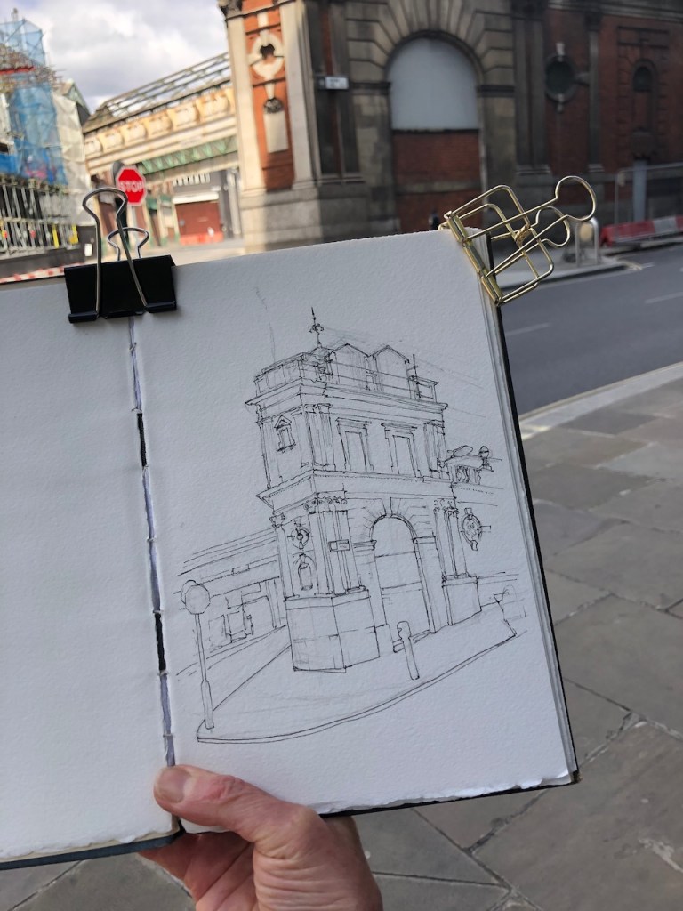
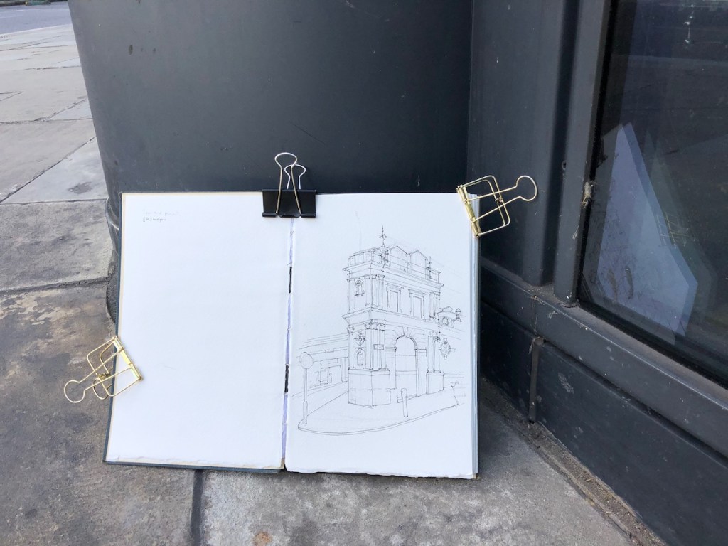

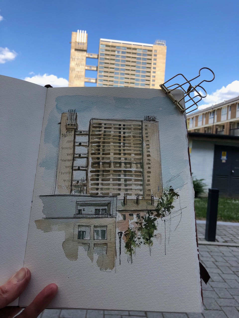
The drawing took 2 hours: 30 mins pencil underdrawing, 45min pen, 45min colour. The colours are: Fired Red Ochre (DS), Phthalo Turquoise (W&N), Transparent Pyrrol Orange (DS), and a tiny bit of Mars Yellow (DS).
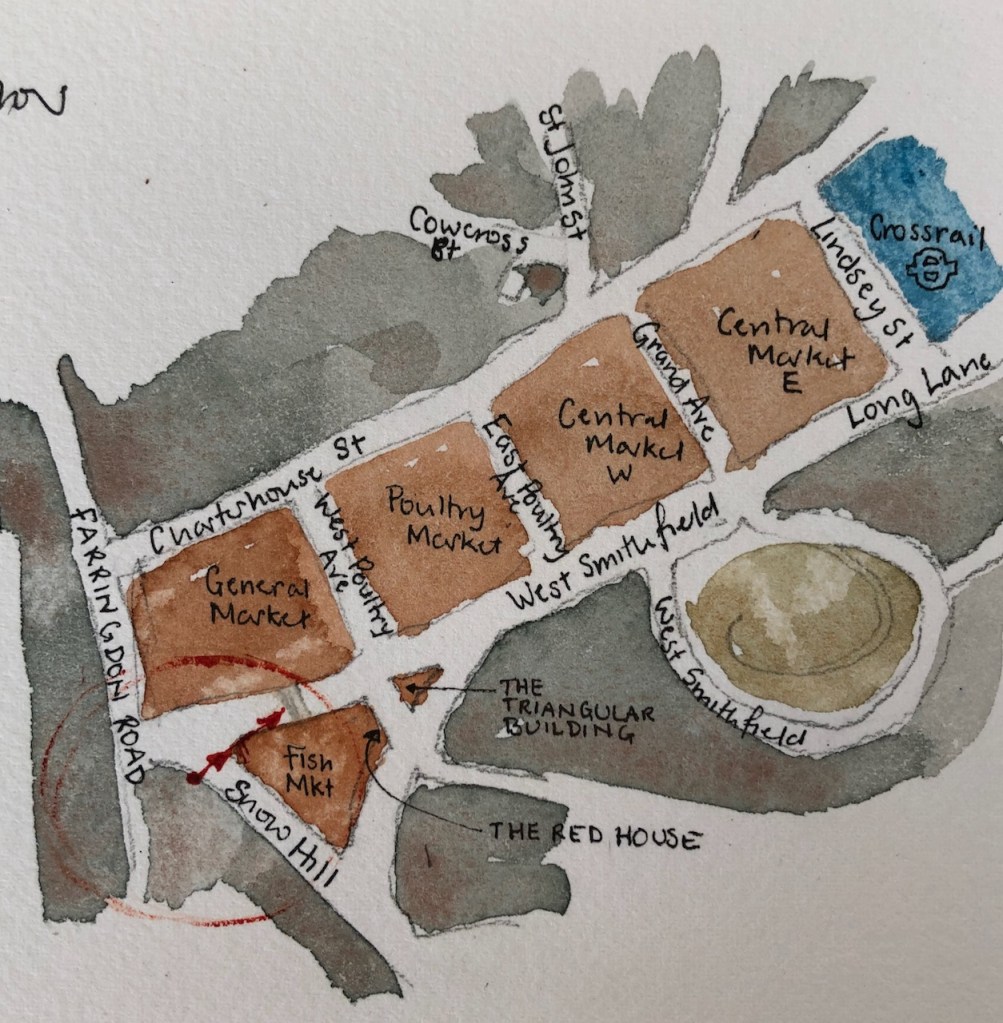
Here is a collection of all the drawings I have done of Smithfield: