North entrance to the Woolwich Foot Tunnel, E16

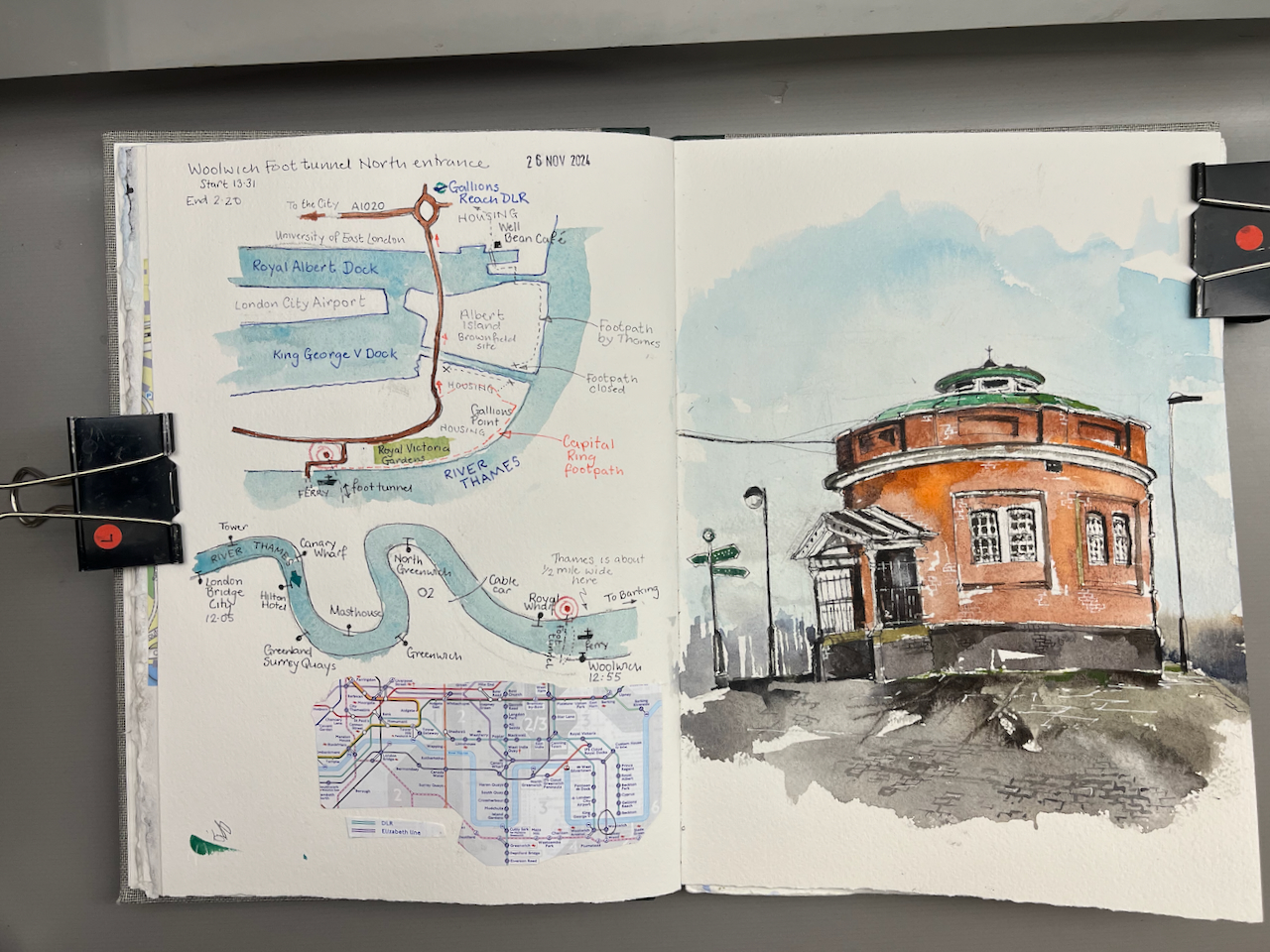
The North entrance to the Woolwich foot tunnel stands isolated on a traffic island.

North entrance to the Woolwich Foot Tunnel, sketched 26th November 2024 in Sketchbook 15

The Woolwich Foot Tunnel opened in 1912, and is still open today, 24 hours a day. It connects the North and South sides of the River Thames.

I walked through the tunnel on an adventure exploring Docklands, inspired (once again!) by a fascinating article on the “London Inheritance” site.

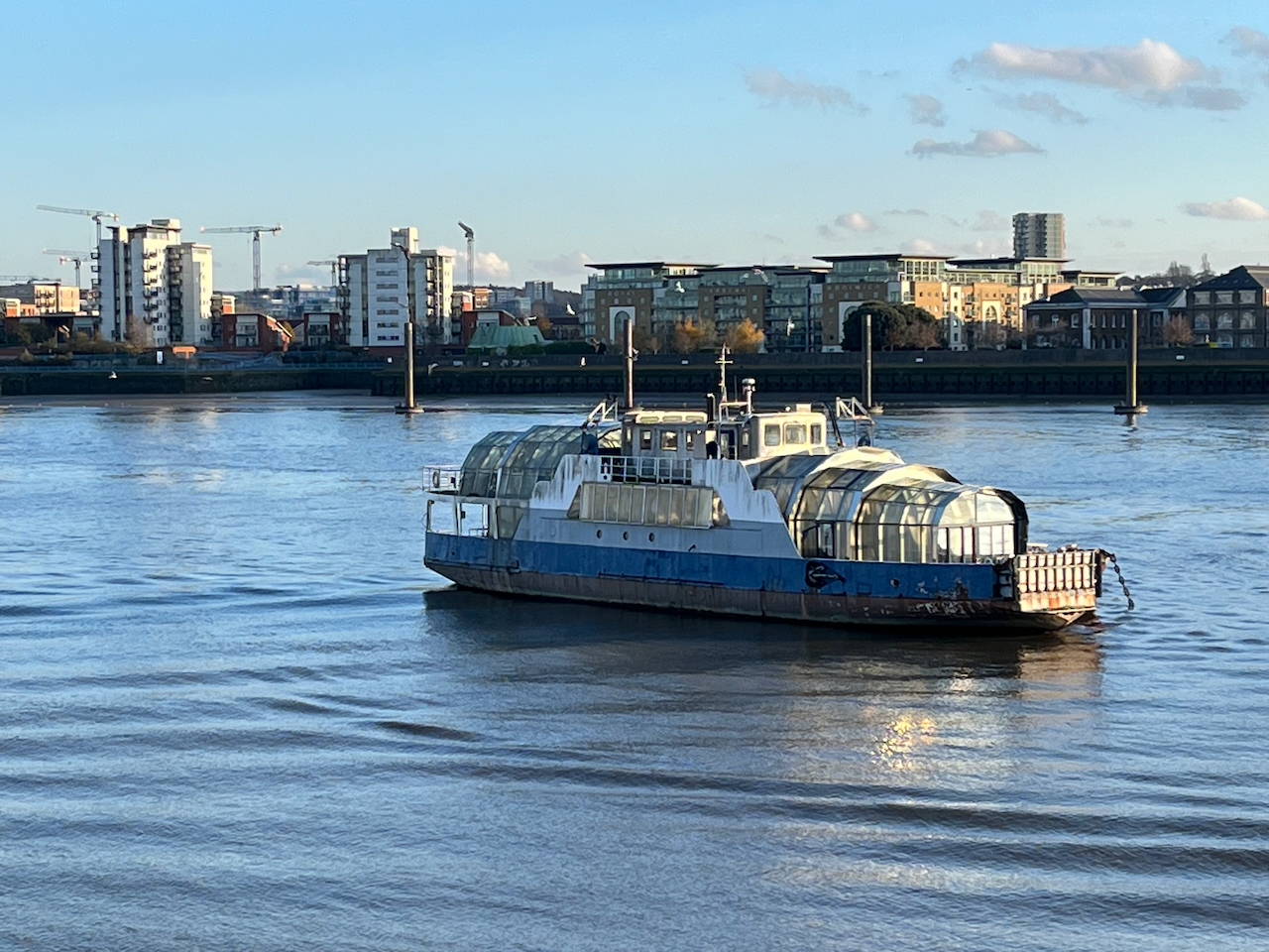
My expedition started at London Bridge pier, with a trip down the Thames on the riverboat. This seemed the simplest way to get to the docks. It takes about 50 minutes to go from London Bridge to Woolwich.
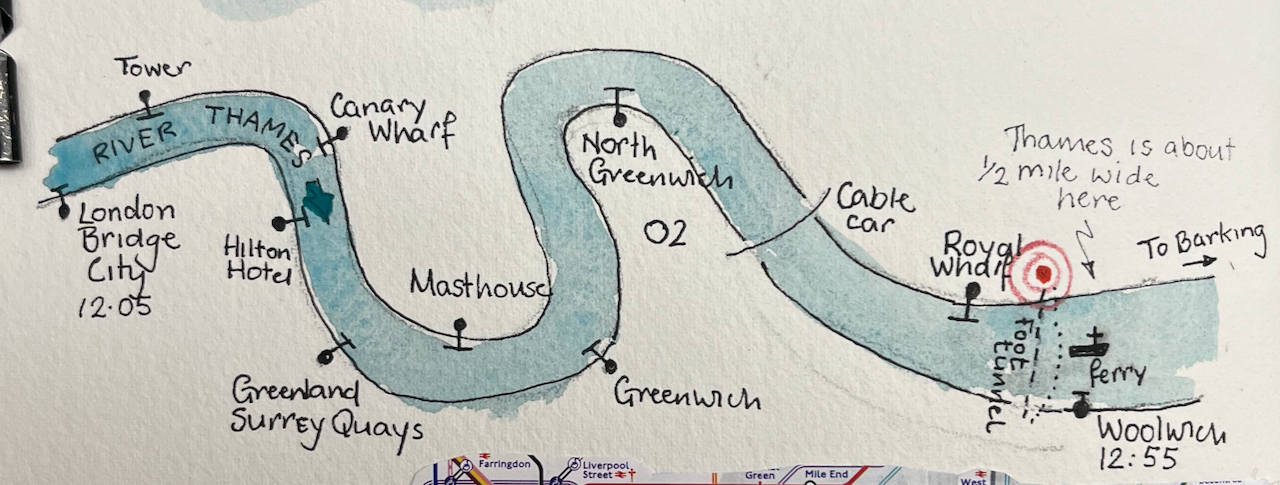
The route of the riverboat from London Bridge to Woolwich.

Everyone gets out at Greenwich, but it’s well worth going a bit further. The boat is empty, the Thames is huge, and the sky opens out.
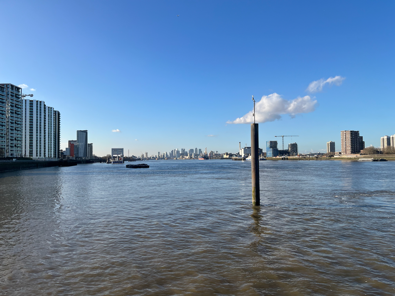
The City of London seen in the distance, from the Woolwich Royal Arsenal Pier

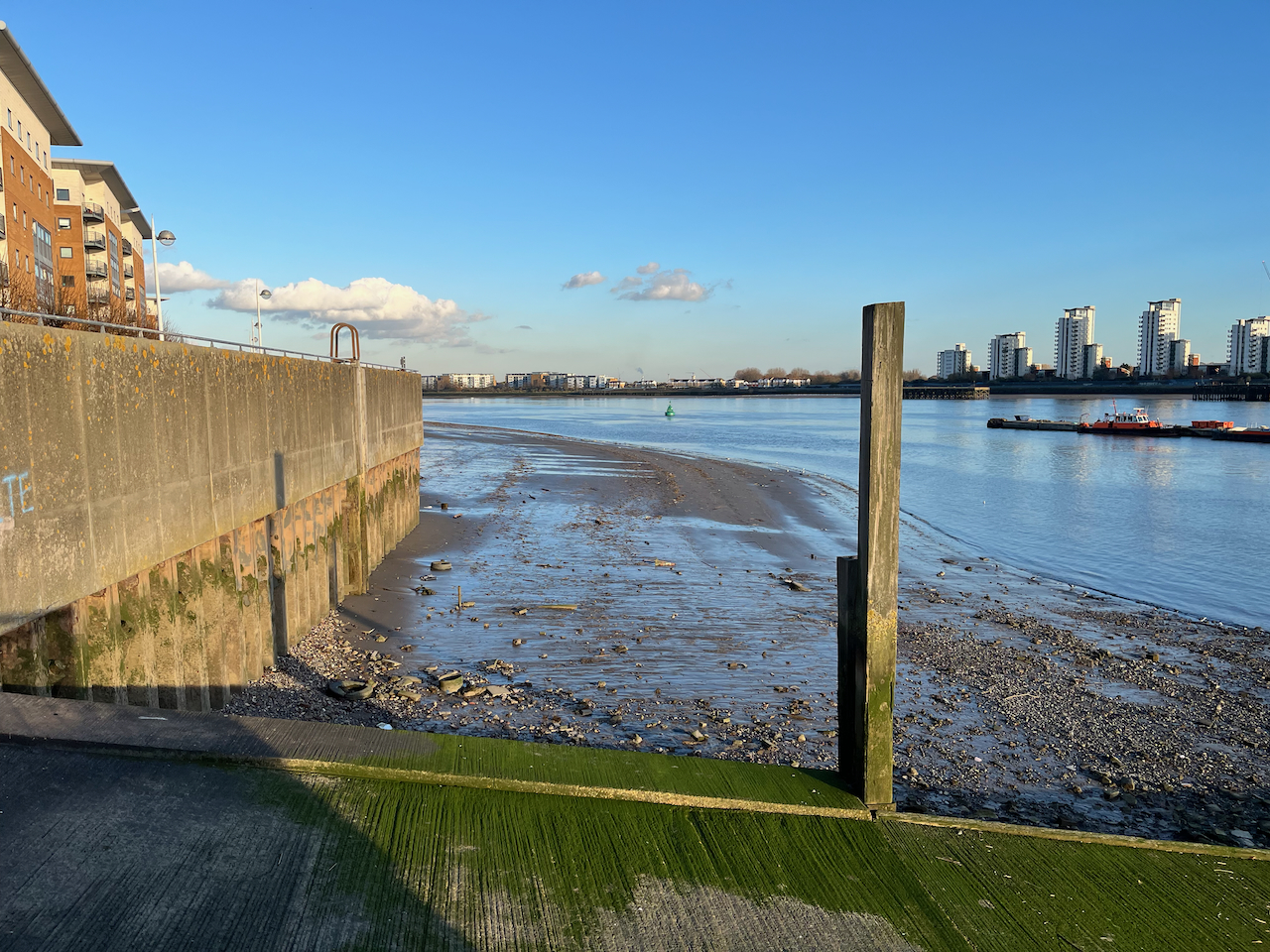
The river boat pier at Woolwich is on the South side of the river. I was keen to explore the North side, so I walked a little way to find the entrance to the foot tunnel. There is also a ferry, but I wanted to experience the foot tunnel.

The South entrance to the foot tunnel is hard to find. It’s crammed into a dark space behind the leisure centre. It looks somewhat dingy and derelict.
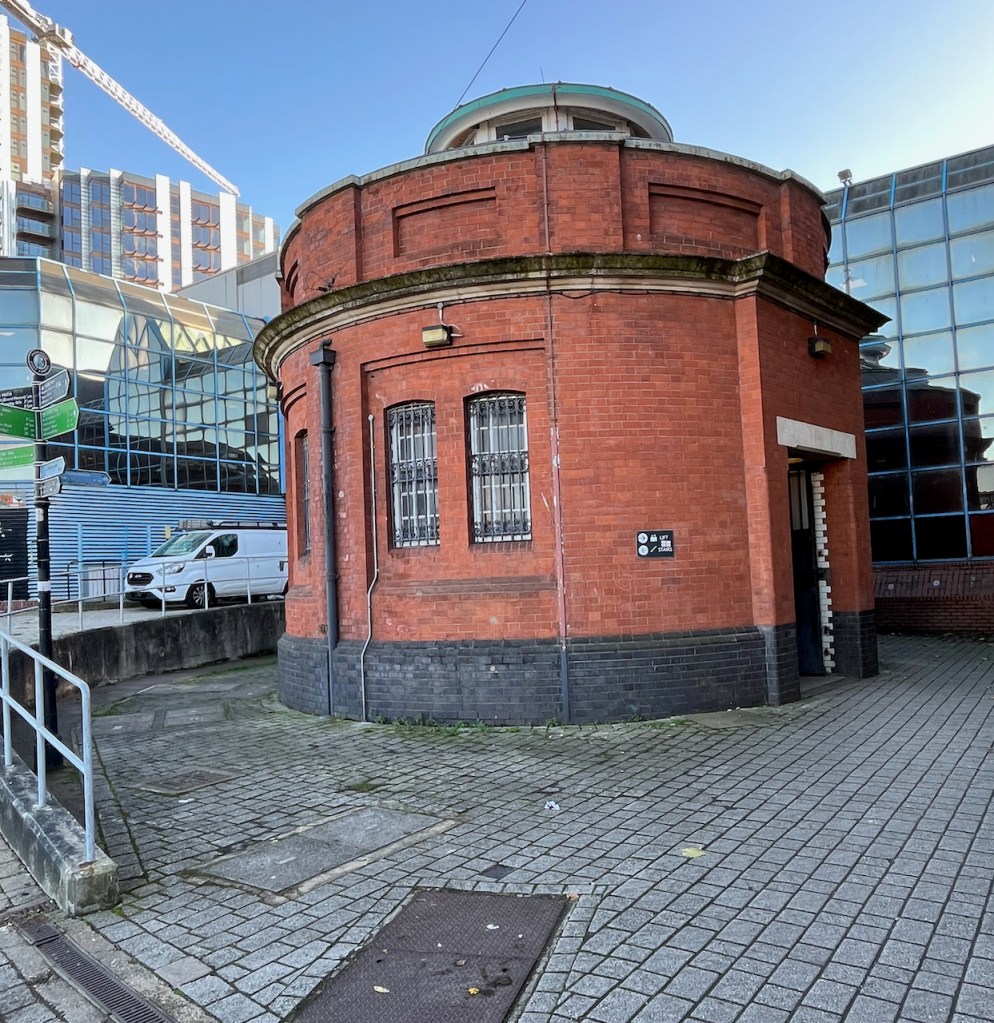
South entrance of the Woolwich Foot tunnel, hemmed in by 1970s buildings.

You have the option of the lift or the stairs. I followed the arrow to the stairs. The stairs are round the back. You have to find your way in, sidling between the wall of the leisure centre and the columned entrance to the tunnel. I can’t help feeling that the constructors of the tunnel would be appalled that their ornate entrance had been obstructed in this way.
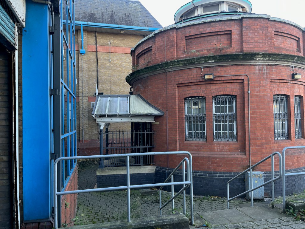
Entrance to the stairs, under the canopy. Leisure Centre is the blue part on the left.

By this time I was rather doubting the wisdom of this undertaking, as the old building seemed so abandoned, and the entrance was so dark. However, the stairs were brightly lit, and it all seemed feasible. So down I went.

The tunnel itself is marvellous: all bright and clean, with amazing acoustics. I could hear the distant voices of people ahead of me.
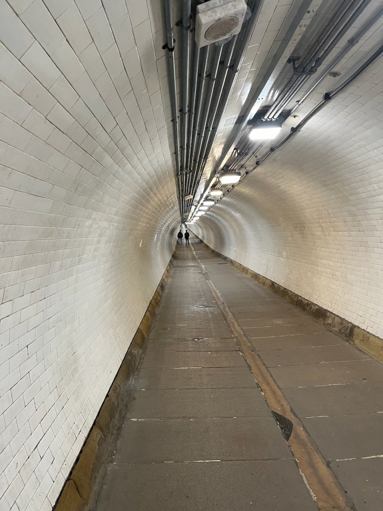
Inside the Woolwich Foot Tunnel

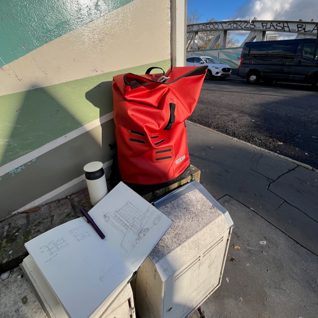
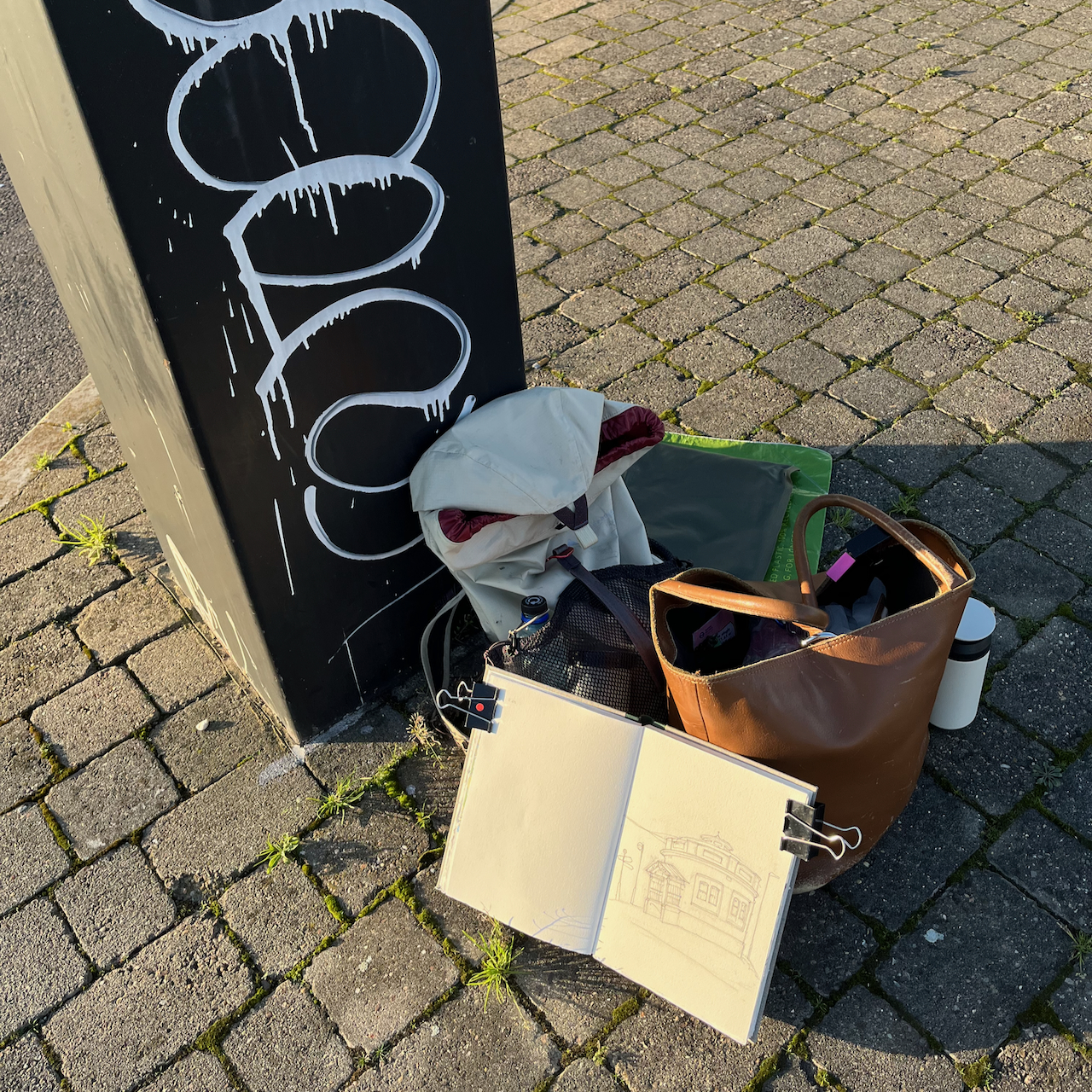
On the North side there is a different world. The North entrance, unlike its Southern counterpart, stands proud and isolated on an expanse of concrete. I sat down and sketched it.
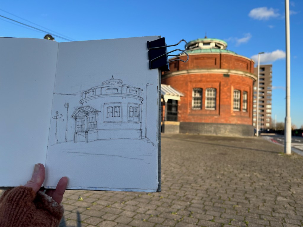
The building stands on a traffic island which is a junction of many routes. The A117 takes heavy traffic onto the pier, to load onto the Woolwich Ferry. There’s a bus, the Superloop SL2 ,which goes to Walthamstow. People walk from the bus to the foot tunnel.
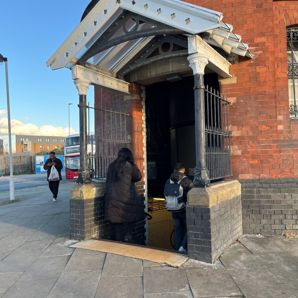
North entrance to the foot tunnel. The Superloop bus from Walthamstow is in the background.

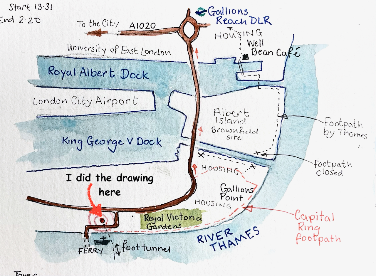
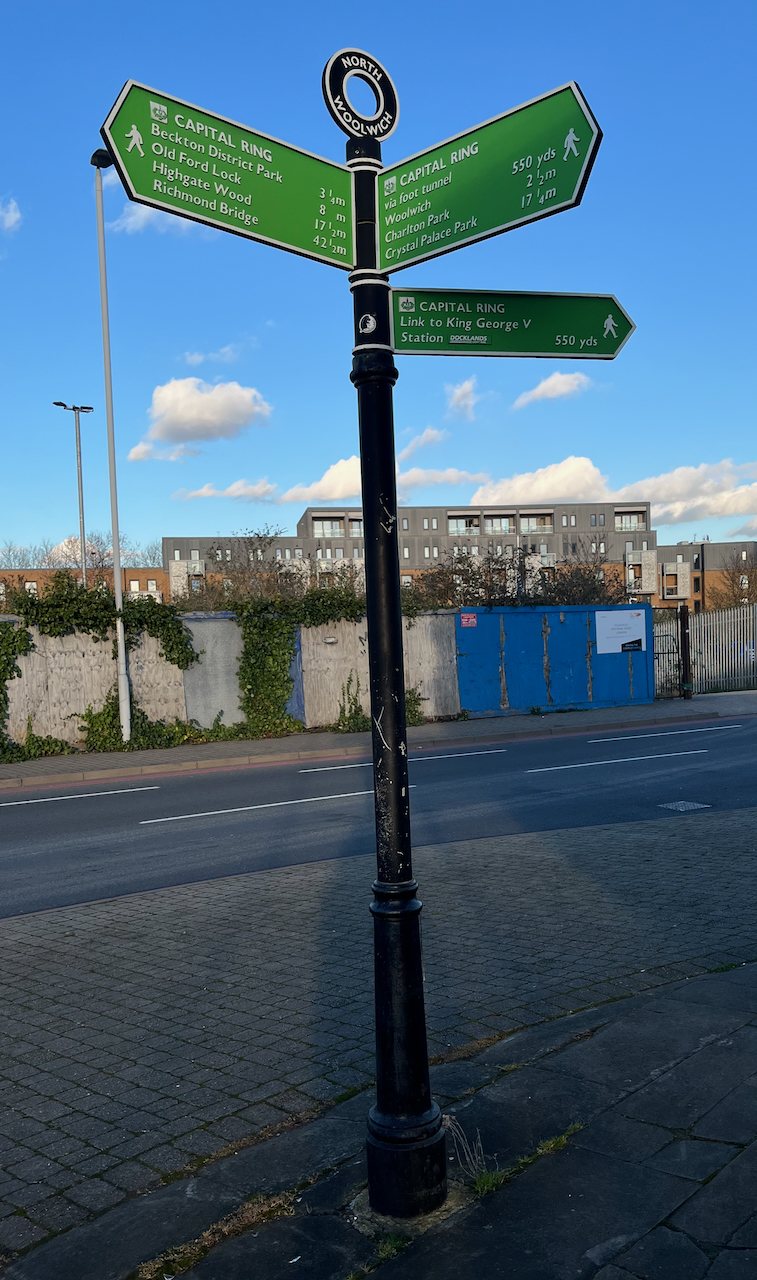
The signpost on the left of my drawing indicates the long distance footpath “The Capital Ring”. I followed this route along the Thames a little way. The path is cut off after the Galleons Point Housing development. Signs say that the lock gates are being maintained. So the route returns to the main road and passes over the spectacular bridges across the docks.
The bridges offer a view directly down the runway of London City Airport. When I walked past, some boys were enthusiastically photographing the aircraft on their mobile phones.
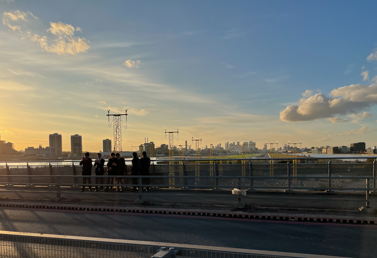
Plane spotters on the bridge over the Royal Albert Dock. City of London in the distance.

The other direction from the airport, looking toward the Thames, is a scene which seems to define what we mean by “brown field site”.
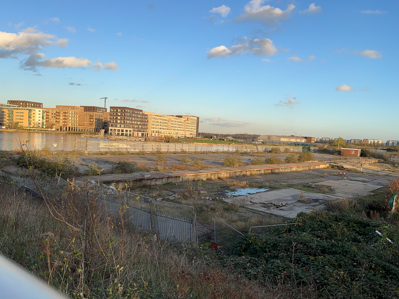
A brown field site: Albert Island, North Woolwich. This photo was taken from the same spot as the one above, but looking the other way.

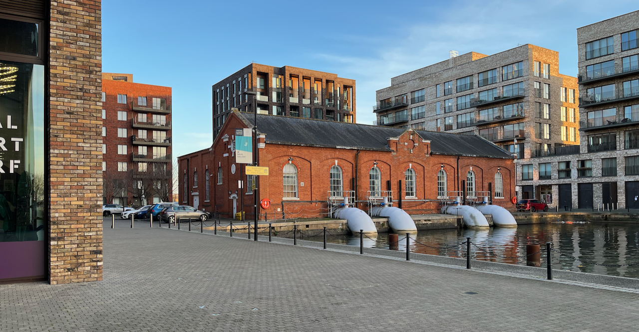
In the distance on the left, you see the housing developments round Gallions Reach. The quantity of space round here is astounding. And the docks are enormous.
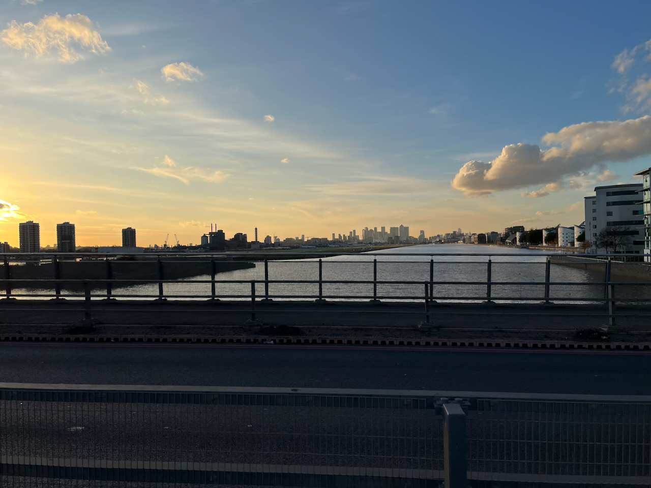
Royal Albert Dock from the Steve Redgrave Bridge. The dock is about a mile long. The University of East London is on the right, City Airport on the left, City of London towers in the distance.

I walked on over these immense bridges over the docks. An oncoming bus tooted cheerfully. I looked up to see the driver smiling a friendly greeting. Perhaps I looked a little lonely and cold. The bus rushed on. I felt warmer.

On the other side of the bridge I warmed up in the “Wild Bean Café” (recommended) and then made my way to Gallions Reach DLR station and thence to central London.

If in need of wide open spaces and a bit of distance from the problems of the City, then a trip downriver is definitely the thing.
Council housing, Lower Green, Esher KT10

Esher is an area of Greater London, half an hour’s train ride from Waterloo. It is a place of diverse architecture: magnificent Arts-and-Crafts villas, modernist mansions, and a row of “stockbroker Tudor” houses.

Stockbroker Tudor houses, Esher.

On the other side of the railway tracks, in the low ground near the industrial estate and the waterworks, there is a council estate. This is “Lower Green”. It was built towards the end of the 1940s. This was an era of visionary town planning and utopian ideals, eloquently described in the book “Municipal Dreams” by John Boughton, Chapter 3. On page 66 Boughton quotes the town planner Patrick Abercrombie who sought a plan for Plymouth

“which allows for a higher standard of living well within our grasp, with its call for space and beauty rather than for mere economy”

J. Paton Watson and P. Abercrombie “A Plan for Plymouth” 1943.

The new towns were built around this time, including Stevenage, Crawley, Hemel Hempstead, Harlow, Welwyn Garden City, and Hatfield. Lower Green has many characteristics of those new towns: two storey “cottage style” houses with a front garden and a back garden, arranged behind wide verges, with trees and plenty of green space. The houses were designed by the architect George Blair Imrie (1885–1952), for Esher Urban District Council.

Round symbol on the houses: E for Esher, “UDC” = Urban District Council. Esher is now under “Elmbridge Borough Council”. See the interesting texture of the bricks.

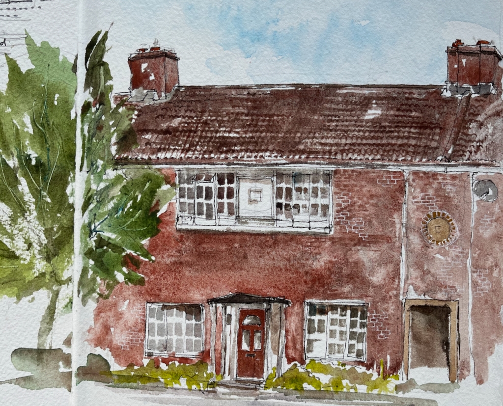
My watercolours show houses on Douglas Road, Lower Green. Here, the land was acquired by the council in 1949. It was a compulsory purchase under the 1936 Housing Act. The vendor was the farmer, Sydney Edward Parkes. I have this detailed information thanks to an owner and resident of one of the houses, who kindly showed me their title deeds.

Here is the basic design of the houses.

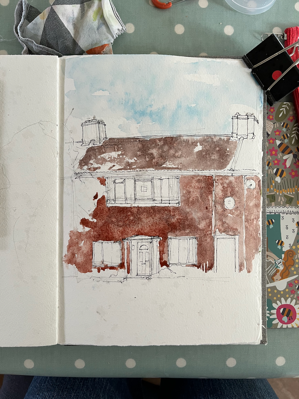
A house in Douglas Road, Lower Green, Esher, KT10. Watercolour and ink, Sketchbook 14

The geometry is perfect: the side edges of the upper windows are aligned with the centres of the lower windows. The upper edges of the lower windows, the door lintel and the passage are all in a neat line.

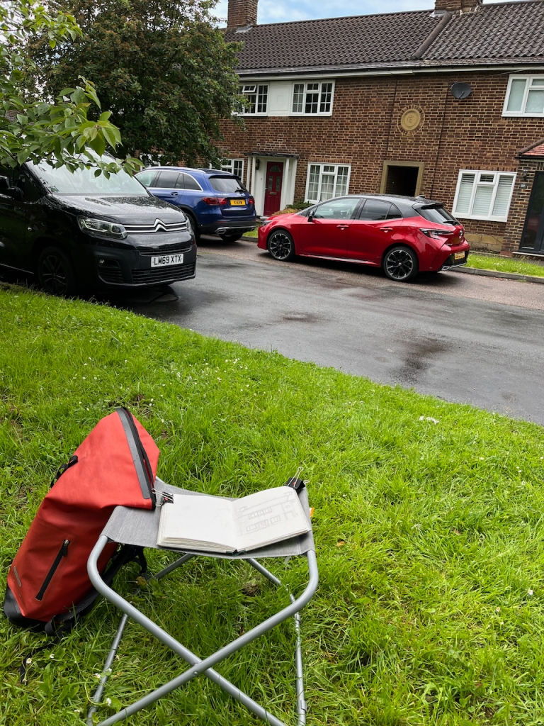
What you can’t see in my painting is that this house stands behind a wide verge and trees, which separate it from the road.

Painting location for the picture above.

There is a passage through the terrace of houses, on the right in my picture. This passage takes you through to “the back” where you can store your bicycle, and your dustbins.

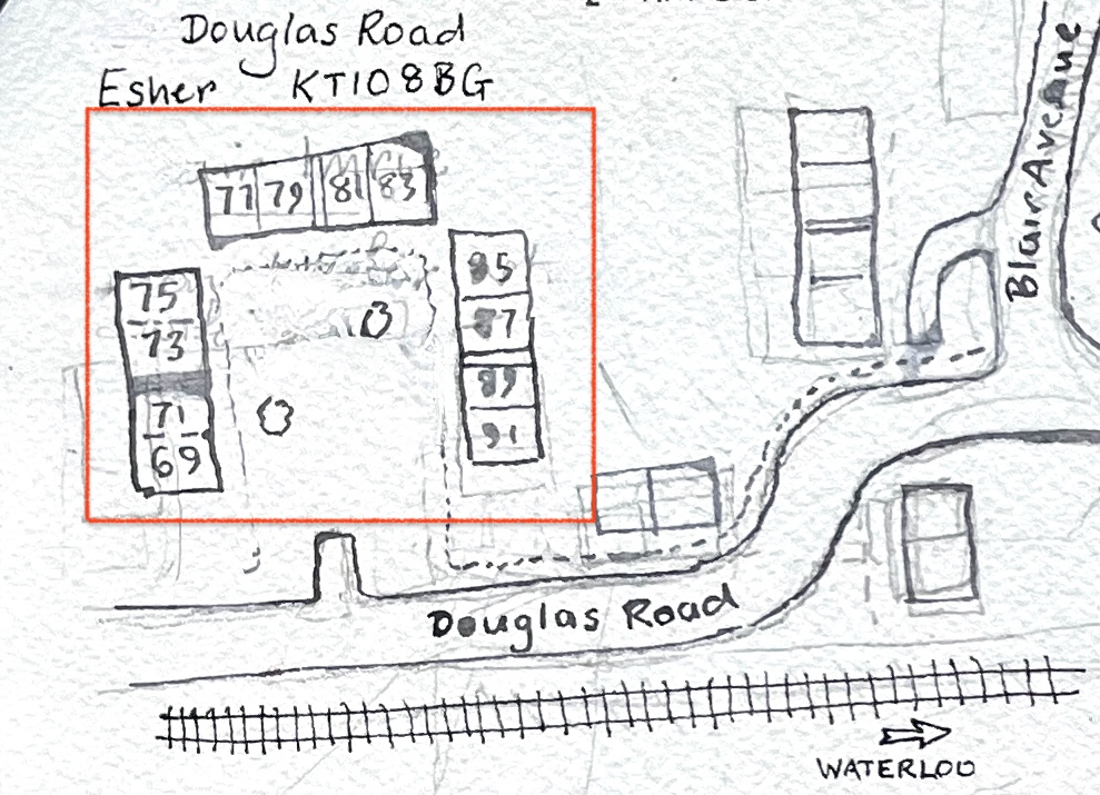
Another feature of the estate is the arrangement of houses round a square.

Here is a painting of some of the houses round the corner of a square: numbers 69 to 77 (odd numbers) Douglas Road:

69-77 (odd numbers) Douglas Road, Esher. Watercolour and ink, in Sketchbook 14

Painting of odd numbers 69-77 Douglas Road Esher, seen across the huge green public space.

There are three such squares, all large green spaces. It’s one of the “patterns” in this estate, to use the concept described by Christopher Alexander, in the 1977 book “A Pattern Language”.

“A Pattern Language” by Christopher Alexander and others (1977), page 304, Pattern number 60 “Accessible Green”

I didn’t see anyone using the green space. But this was a Tuesday afternoon, in term time, and it was raining. Perhaps they were enjoying looking out across it from their windows. If they were, they were probably wondering what the strange woman was doing, sitting there on a metal camping stool under the tree, staring at their house.

This estate was originally intended as rental accommodation. It was owned by Esher Urban District Council and residents paid rent to the council. Nowadays, some of these former council houses are in private freehold ownership, having been sold under the “right to buy” scheme. There are also a lot more cars. The estate was built at a time when most people did not not own cars. The houses do not have garages.

The architect, George Blair Imrie, designed many houses in the area. His wikipedia page lists the large houses he designed for the wealthy. His work on the council housing estate of Lower Green is also remarkable, and not mentioned. So I am glad of the opportunity to draw attention to it here.

I drew these pictures between rainstorms, finally completing them under a borrowed umbrella.


Blair Imrie’s work, including his work on Lower Green, is mentioned the 100th newsletter of the The Esher Residents Association, January 2020. See pages 4 and 5:

City Road 400kV Substation EC1

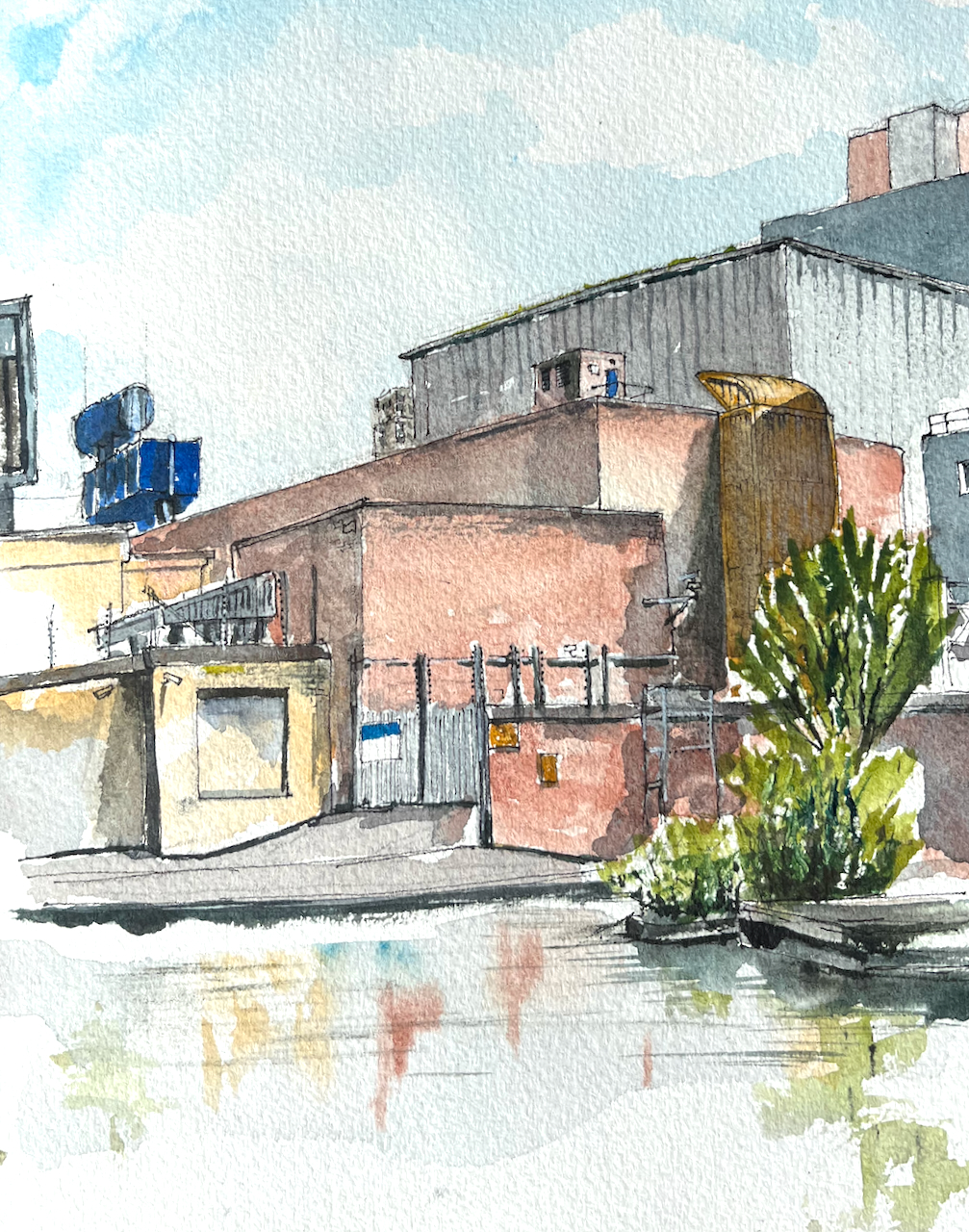
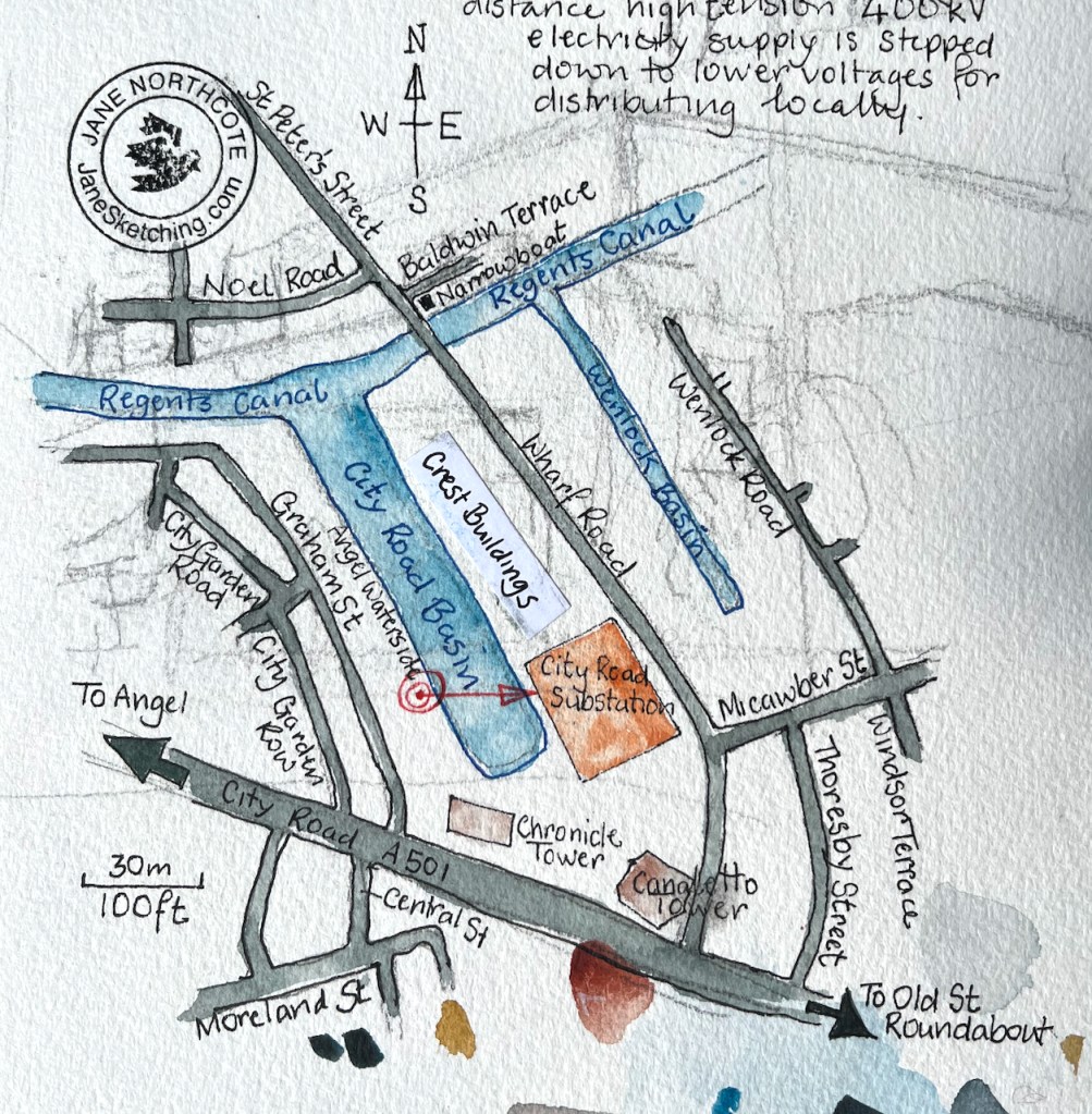
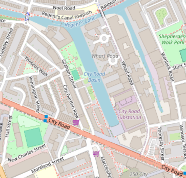
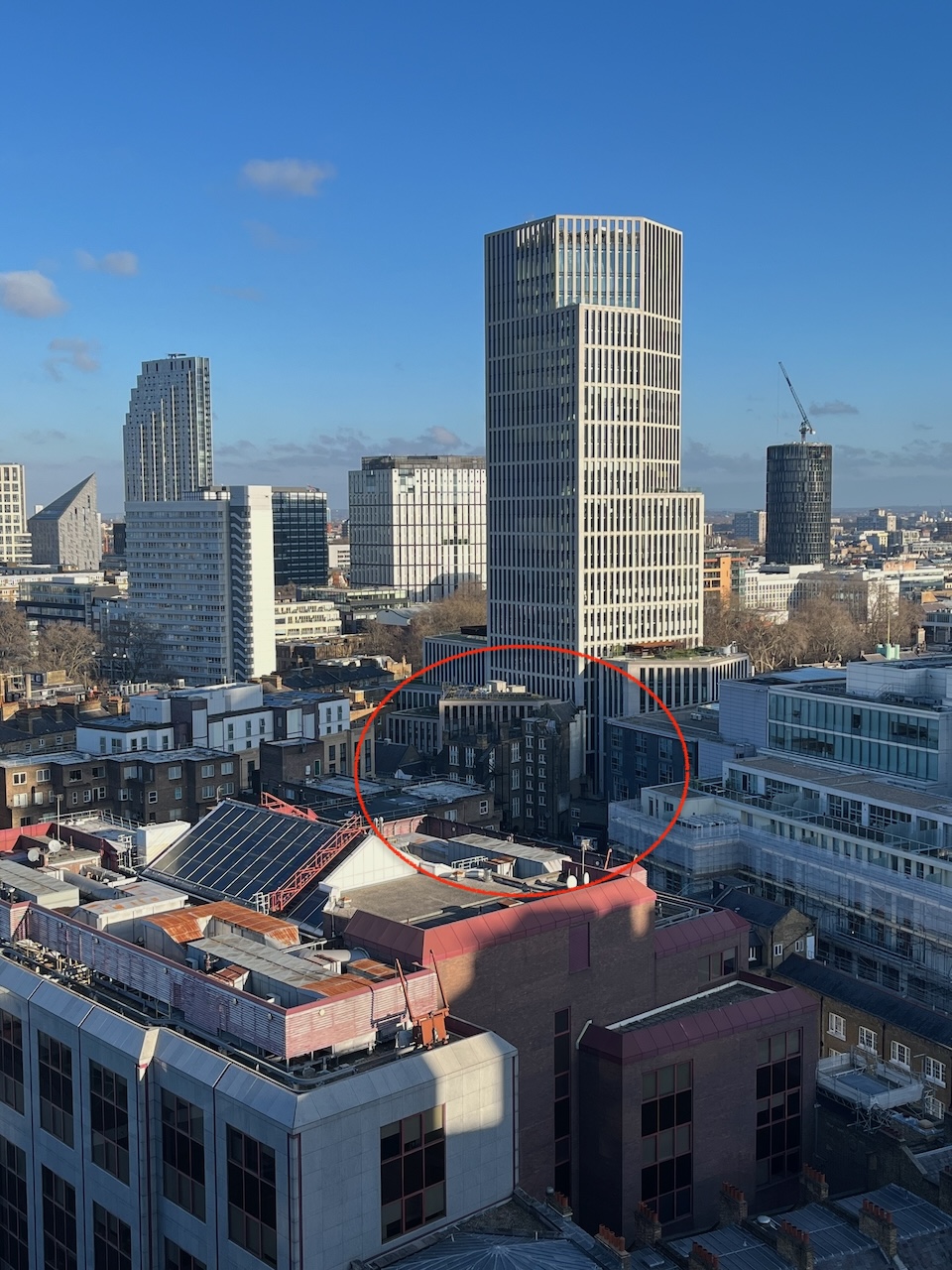
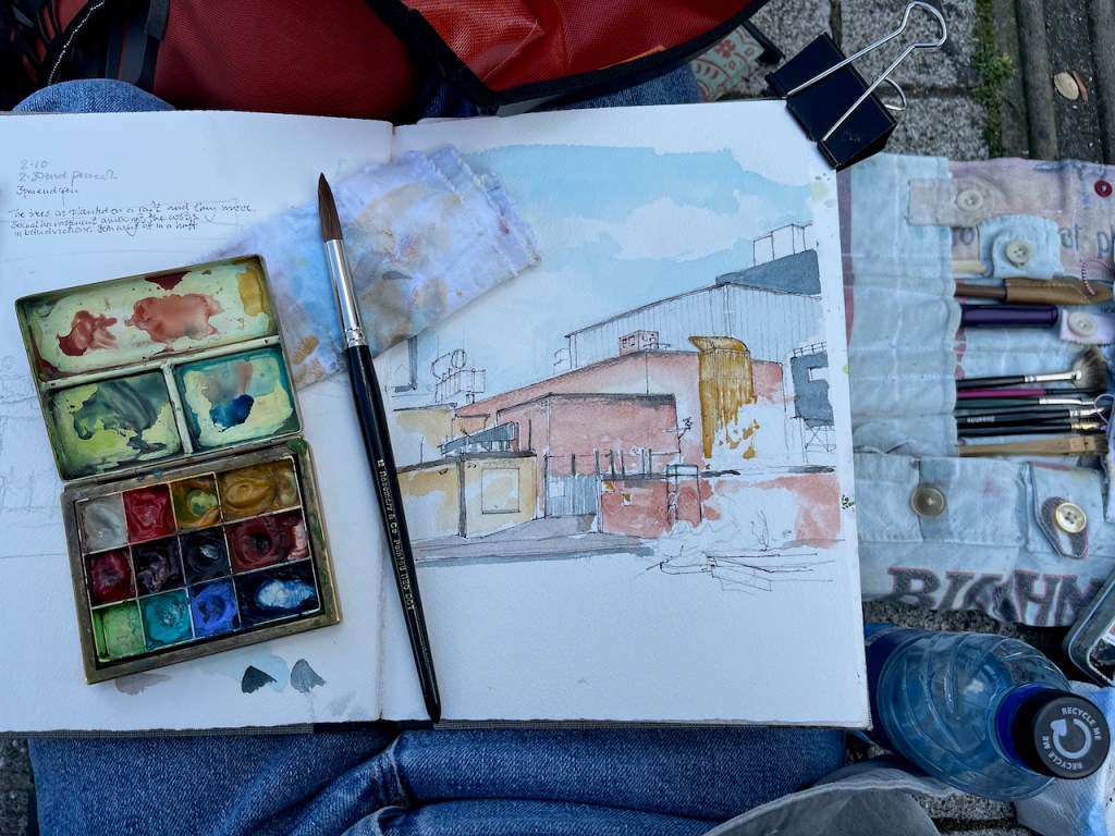
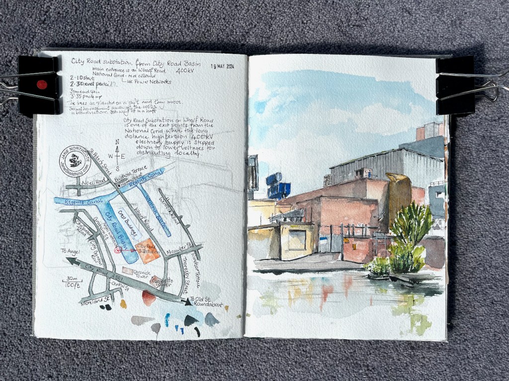
Here is a view of the City Road 400kV Substation, sketched from the other side of City Basin.

City Road 400kV Substation from “Angel Waterside” City Basin, 19th May 2024 in sketchbook 14

This is a monumentally large building, a last remaining representative of heavy industry, in an area now mainly residential. All around are the new tower blocks containing luxury apartments, made of shapes and designs aiming for visual appeal. Chronicle Tower and Canaletto Tower are just off the picture to the right. The sub-station is robustly functional. I enjoyed its forthright no-nonsense appearance.

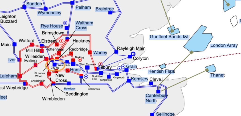
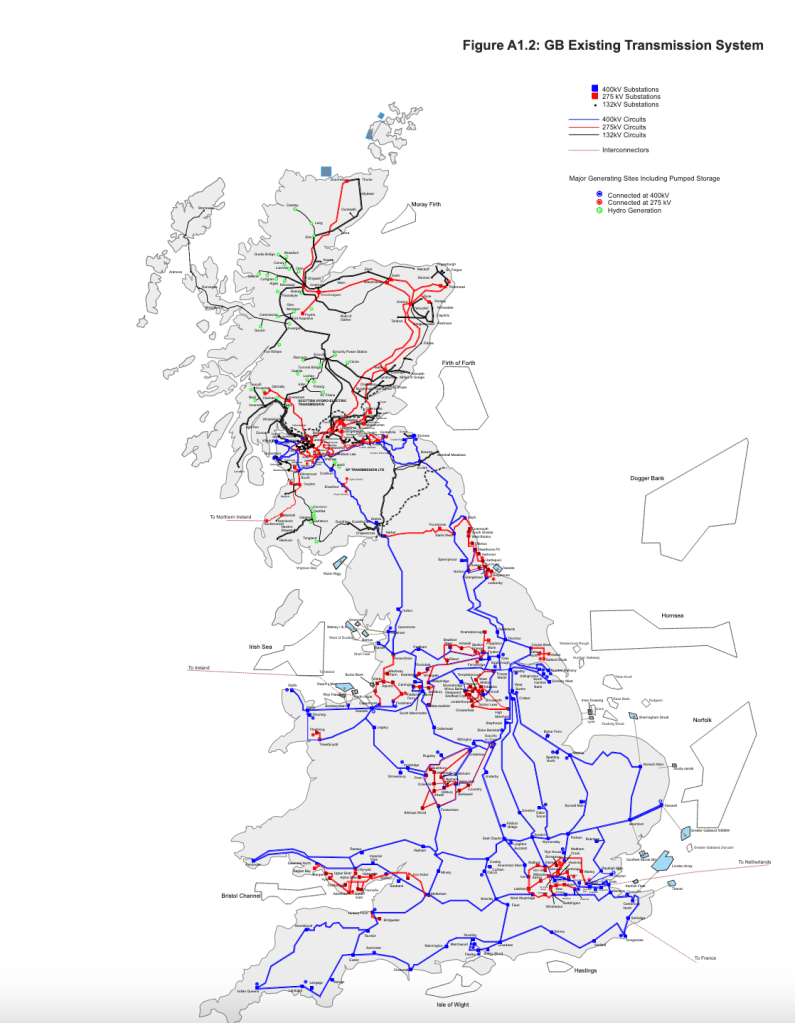
It’s built like a fortress, as well it should be. It is part of the UK power distribution system, connecting us in London to, amongst other power sources, the off-shore windfarms in the North Sea, an interconnector off across to Europe, and power stations on the Isle of Grain.

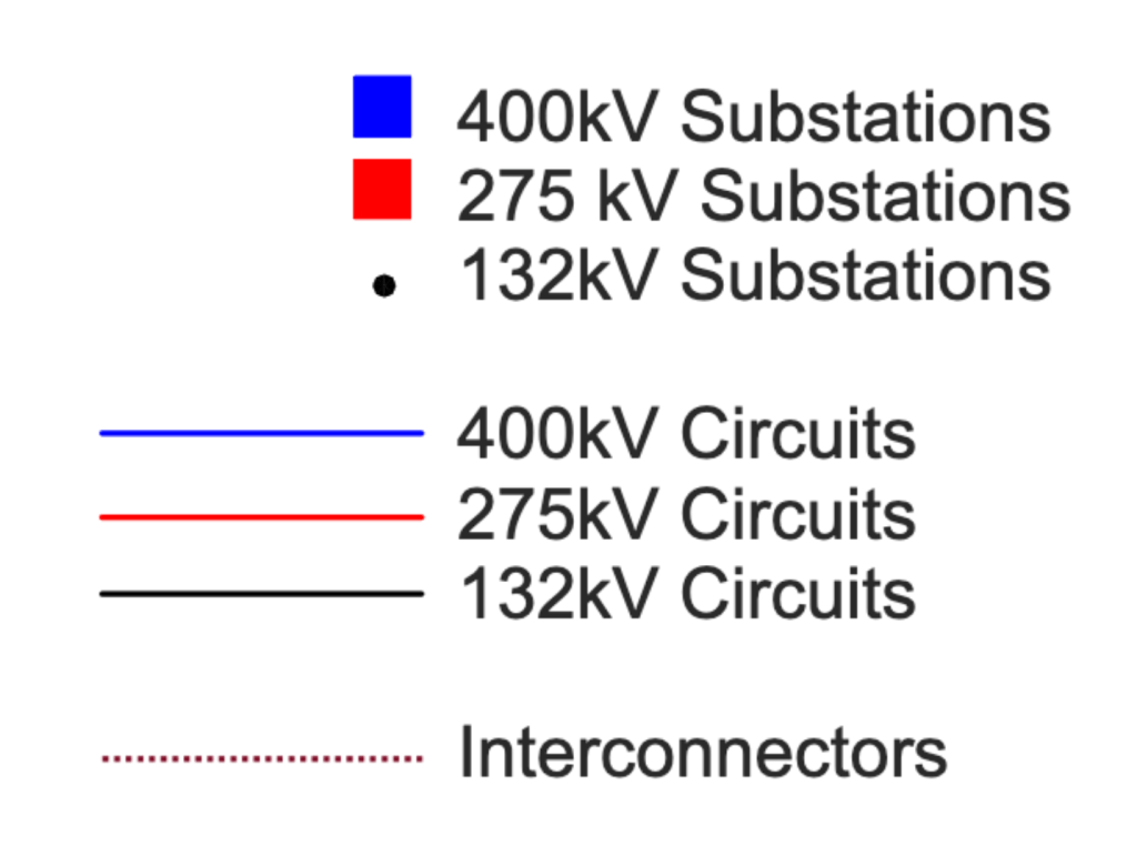
These diagrams come from a National Grid document on this link. The document is “Electricity Ten Year Statement 2012, Appendix A1”. It’s over 12 years old so there may be different connections now.

Despite the uncompromising appearance of the substation, the edge of its higher roof was softened with a subtle fringe of grass. I don’t know if this was a deliberate attempt at a “green roof” or if the grass planted itself there of its own volition.

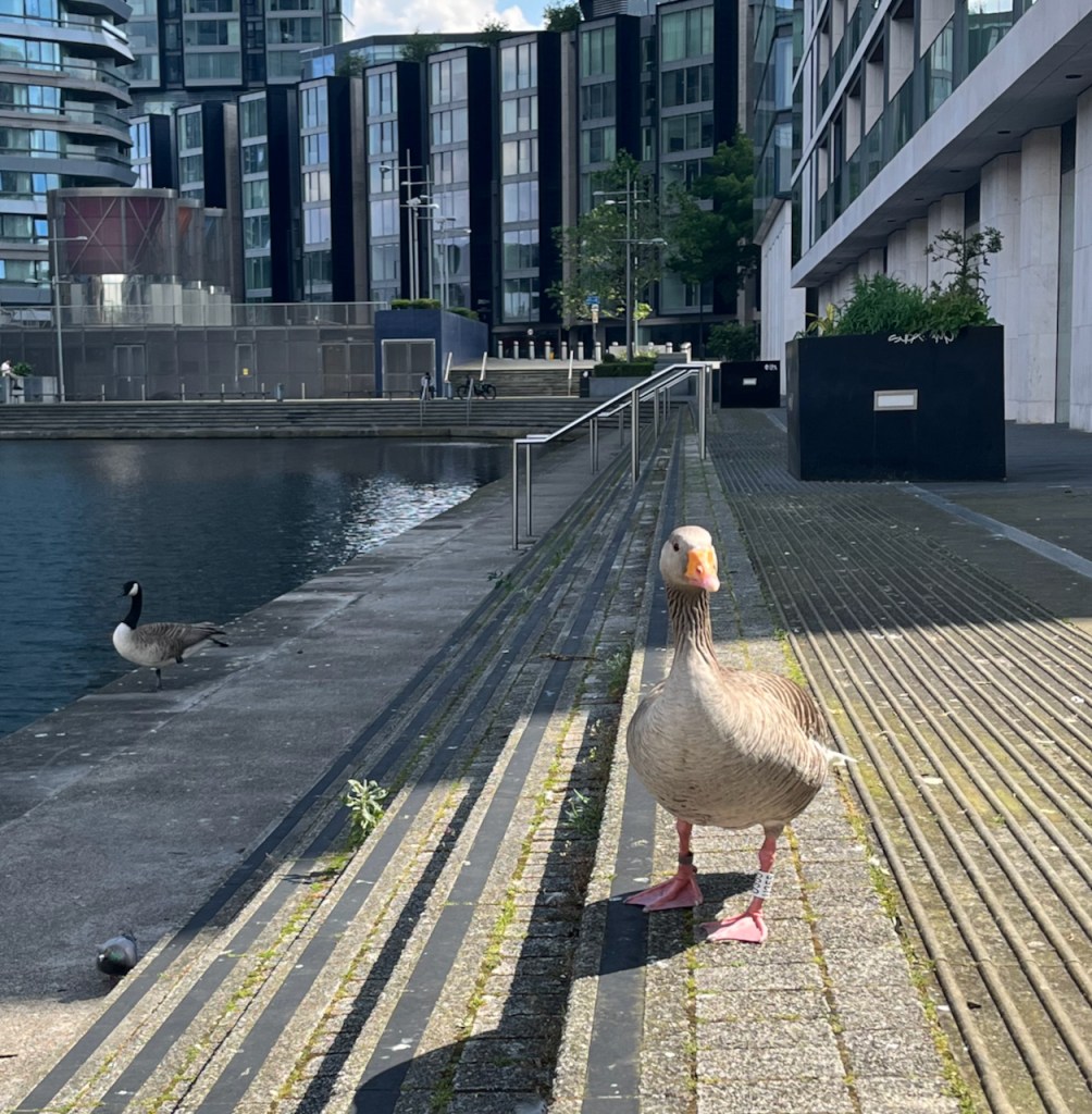
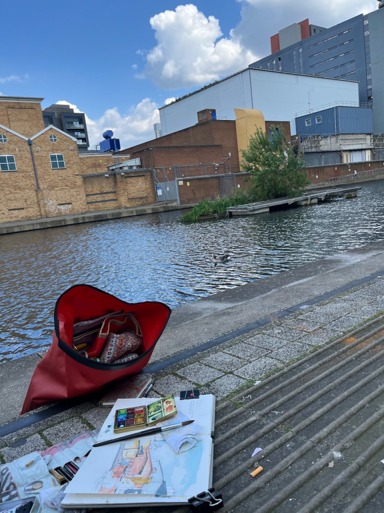
I made this sketch sitting by the water observed by geese. It took me a little while to establish that the tree in the picture was on a raft, and therefore it moved. One does not expect trees to shift around from place to place. I would put it in the sketch, and look up again, and find I had mysteriously got it wrong, again. The geese, obviously, always knew it was a raft, and cackled.

The colours here are:

  • Phthalo Turquoise Blue for the sky (with some Ultramarine Blue)
  • Fired Gold Ochre for the bricks
  • Mars Yellow, with Fired Gold Ochre, for the paler brickwork
  • Ultramarine Blue for the cylindrical construction on the roof (middle left)
  • Serpentine Genuine for the tree
  • All greys and blacks are combinations of the above, plus Burnt Umber.

Colours are all Daniel Smith. The paper is Arches Aquarelle 300gsm in a sketchbook by Wyvern Bindery.

Mercat Building, Glasgow, G1 5AB

On my way up to the West of Scotland I had a day in Glasgow. The overnight train had arrived at 07:30 and the bus to Oban didn’t leave until 18:05. I emerged from Glasgow Central into the mist and fine rain, and walked up the hill to find the “Buchanan Bus Station”. My idea was to stash my bag in the Left Luggage facility and then spend my time exploring Glasgow.

Glasgow at 07:30 on a wet morning in March is not so very enticing. I had the lowest possible expectations as I entered the bus station. Although huge, the bus station had been difficult to find, hidden as it is behind a monumental building called “Buchanan Galleries”. This is neither a “gallery” of the art sort, nor a shopping centre, as far as I could work out. It is a multi-story car-park. Every shop I had passed on the way up had been closed, possibly permanently, or so it seemed to me. There was a wind, I was getting wet, and I was hungry. Despite the confident announcements on its website, I was starting to think that the Left Luggage at Buchanan Bus Station would be closed.

But, contrary to all expectations, the Left Luggage Office was lit up, the door open, and everything looked new and clean inside. Even better, a cheerful man in a beanie hat soon appeared behind the desk, took charge of my pack, and efficiently operated the locker system. I exchanged a £5 note for a receipt with a code, put the receipt deep within my pockets, and set off into the grey morning feeling a lot more cheerful.

This came to typify my experience of Glasgow: a grey and wet city enlivened by cheerful welcoming people.

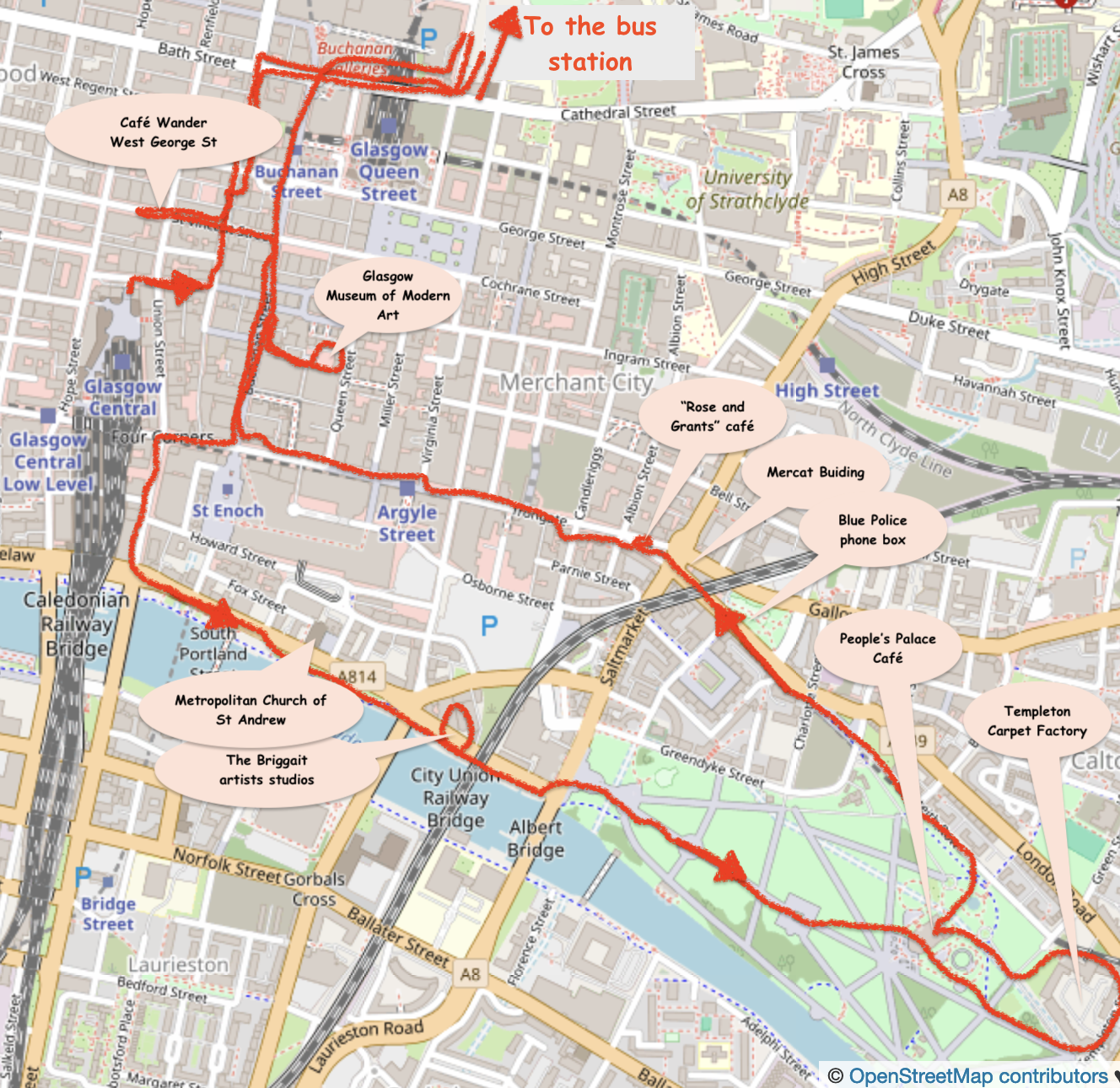
My wanderings around Glasgow. Positions of monuments and cafés are approximate. Map (c) Open Street Map Contributors.

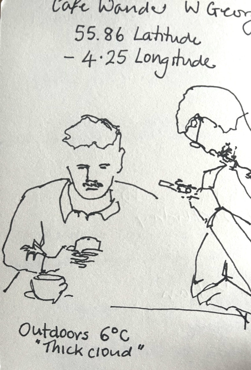
Walking out of the bus station, and wandering at random through the grid of streets, I spotted the “Café Wander” in a basement. This is at 110 West George St and was a great find: welcoming people, a big mug of tea, food, and a charging point for my phone. No rush, I could think and sketch, and feel as though I’d arrived. I decided to head for the river. A river tells you about a city.

The amazing thing about Glasgow is that there are these magnificent buildings, and a lot of them are apparently empty. Or at least they are empty from the 2nd floor up. At street level there is a band of multi-coloured shopfronts, some shuttered. Higher up the Victorian optimism and wealth proclaims itself in ornamented facades, fancy windows, sculptures, and carved names of proud institutions: “St Vincents Chambers”, “Bank of Scotland”. But these higher floors are deserted. The windows are dusty, the facades chipped, the statues dark with dust. But still.

The river told me nothing about Glasgow, except that Glasgow seems to ignore its river. There is a main road, a magnificently restored catholic church, and a succession of buildings which in London would be converted to luxury flats but which in Glasgow remain as buildings awaiting their future. By the time I reached the park, I was really cold. Hacking my way against what was now a biting wind, I encountered a small round woman with a small round dog, coming the other way. She caught my eye and laughed, holding firmly on to the dog’s lead as though it anchored her to the ground. “Bitter!” she announced, still laughing. I agreed that it was.
I wanted to ask her some important questions, such as whether the “People’s Palace” had a café, and what was that brightly coloured building in the misty distance? But conversation was going to be impossible in that wind, so she and I passed each other in amicable silence, allies against the elements.

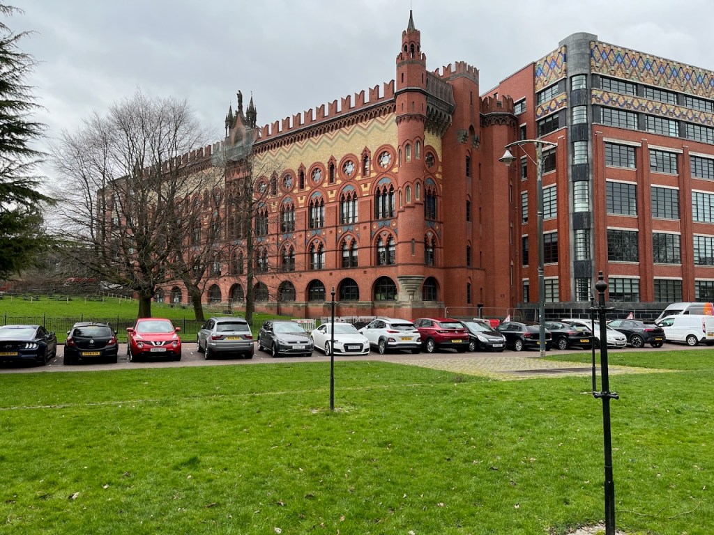
The brightly coloured building was called “Templeton Buildings”. It had no café, and no information. There was a bar, predictably closed. I circumnavigated it, and then set off for the “People’s Palace”. In the distance I’d seen someone come out, but they could have been a builder or a janitor.

It was now raining in earnest. All my papers, tickets and art equipment were in dry-bags inside my backpack, which had been a good precaution. I’ve been in Scotland before. The People’s Palace appeared out of the mist, a huge Victorian edifice, looking formidable and very closed. It was not closed. There was a board outside. A café! I pushed open the door, ready to be rebuffed at any moment, but no, inside was warmth and light, a museum of some sort, public toilets, and a café.

The “People’s Palace” Glasgow Green.

I more or less fell into the café. The friendly person at the counter gave me a guided tour of the home-made cakes, evidently from personal experience. Since he looked like someone who knew his cakes, I accepted his recommendation for the coconut sponge and took a window seat by an old fashioned radiator that was pumping out heat. From there, I watched through the window at coach tours who arrived to look at a fountain in the rain. This is the Doulton Fountain, gifted to Glasgow in 1888 by the Doulton Pottery in Lambeth, London. It would look very nice in the sun: a good sketching subject.

The friendly cake-expert directed me to information panels which told me about Templeton Buildings. This is the former Templeton Carpet Factory, which ceased operation only in 1980.

photo of Templeton Buildings

Eventually, fortified by cake, I was off again in the rain which had abated slightly. I was determined to sketch at least one of the Glasgow buildings. I came to the end of a long road, there was the Mercat Building.
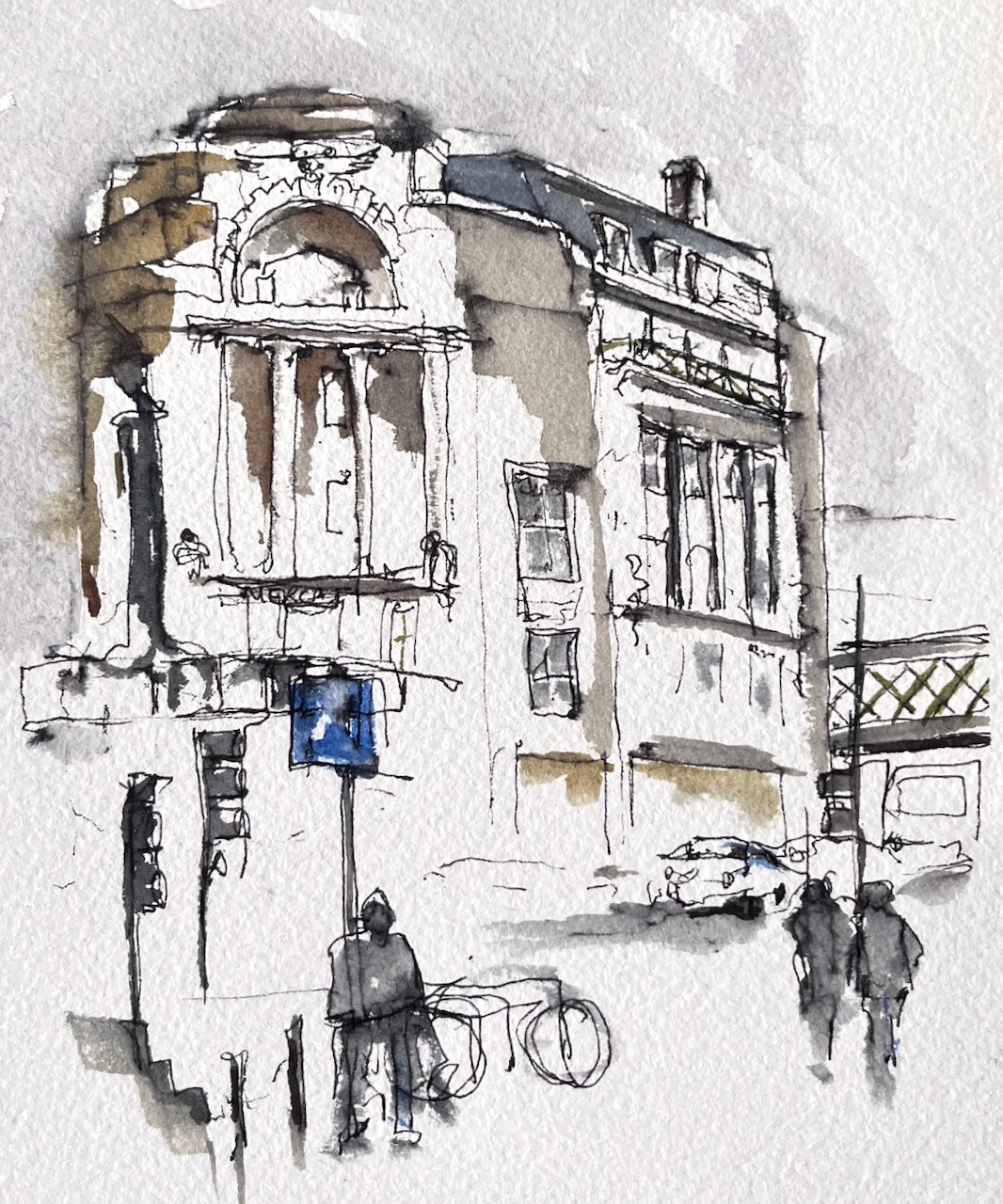
Mercat Building, 26-36 Gallowgate, Glasgow, G1 5AB: 1928-31 designed by Andrew Graham Henderson who lived and worked in Glasgow 1882 – 1963

This was a very quick sketch, on an A5 card, done from a doorway as the rain came down. I stopped before all the colours ran together and retreated into “Rose and Grant”, another welcoming café where the people were not atall put out by my washing my brushes in their water glass and spreading out my watercolour equipment on the table, making copious use of the supplied paper napkins for art purposes.

My tour of Glasgow included the Museum of Modern Art, which has a peaceful library in the basement, as well as small galleries where the pictures have commendably large-type curation. Not crowded. Easy to navigate. Friendly.

I ended up back at Buchanan Street Bus Station, successfully retrieved my pack and was early for my bus.

Glasgow is definitely a City to return to.

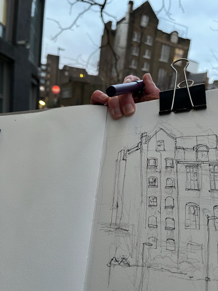
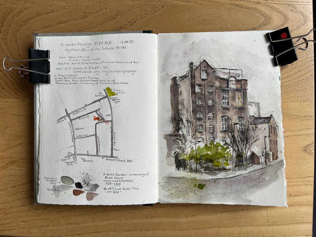
15 Lamb’s Passage EC1

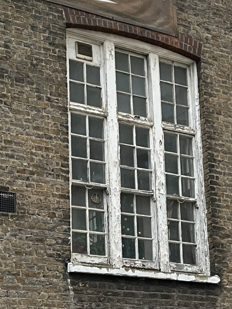
An old brick building stands amongst the new-build. The paint on its window frames is flaking, and its brickwork is dark from the smoke of a previous age, yet it retains its dignity: a grandmother of a building.
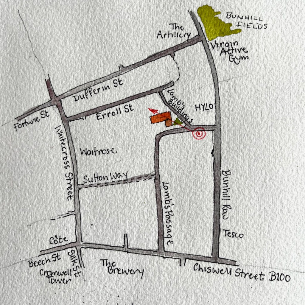
15 Lamb’s Passage, London EC1, sketched 5th January 2024 in Sketchbook 14, 4pm, 6 degrees C

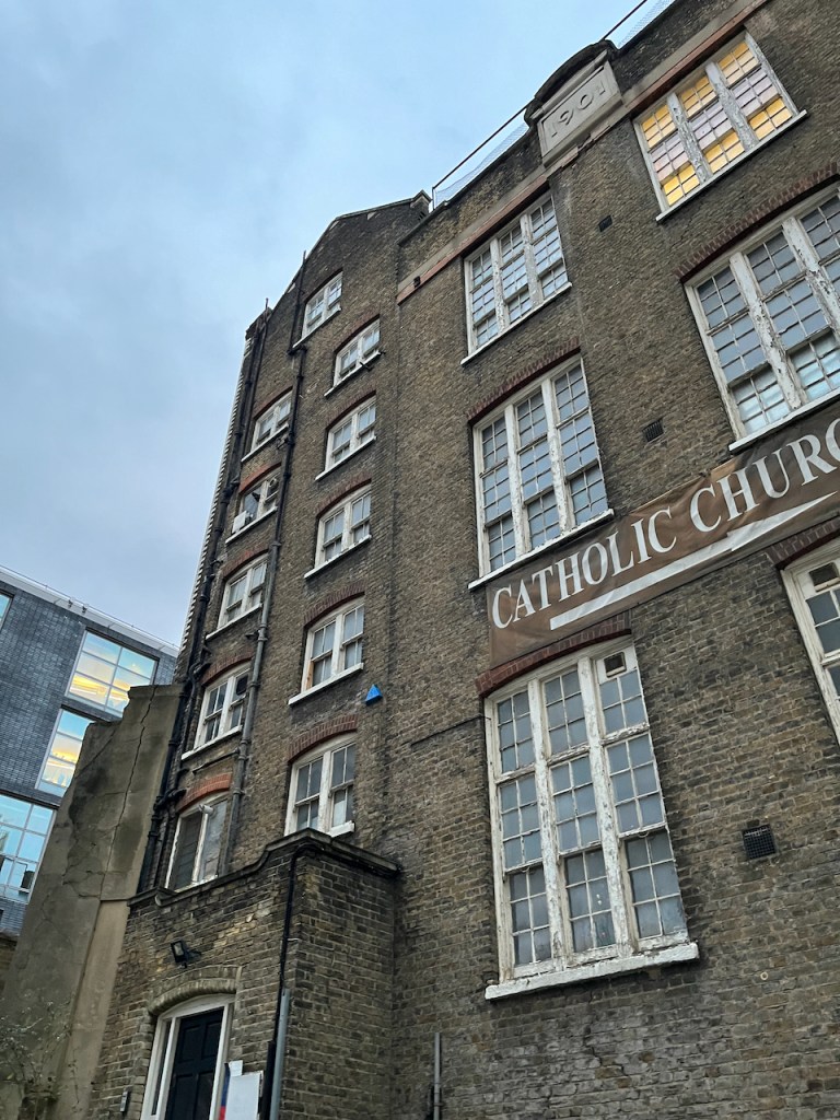
This is the former St Joseph’s School, built in 1901, which ceased operation as a school in 1977. On its roof you can see the wire netting which once must have surrounded a playground or netball court.

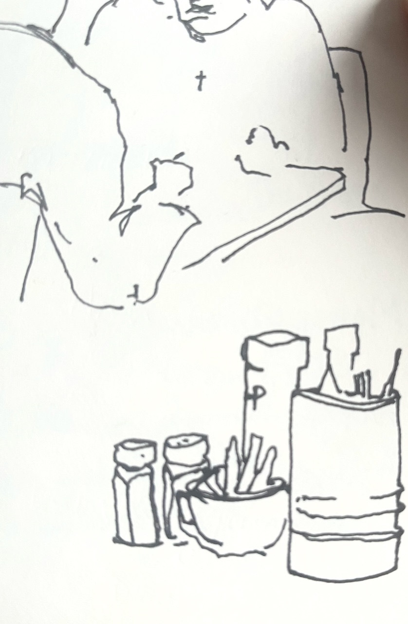
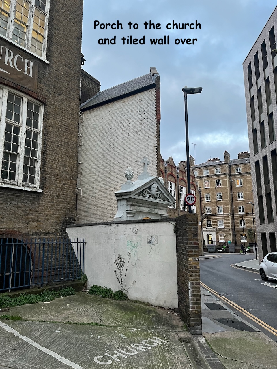
St Joseph’s Church is in the basement, accessed by the porch you can just see to the right of my drawing behind the furthest lamppost.

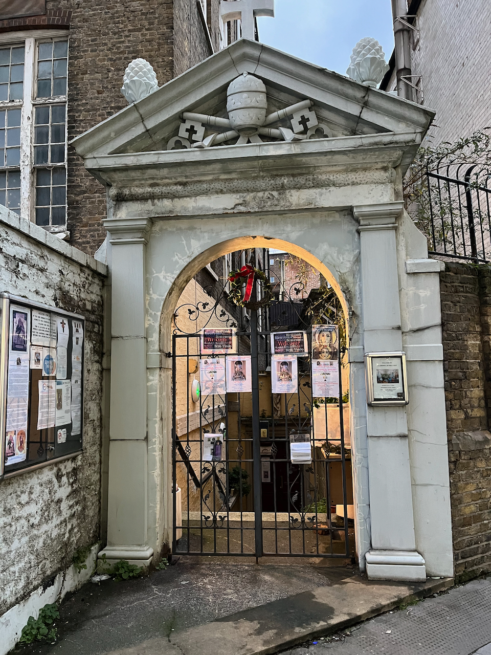
Entrance to St Joseph’s Catholic Church, Lamb’s Buildings: porch built 1993 to the design of Anthony Delarue (from https://parish.rcdow.org.uk/bunhillrow/about-the-parish/)

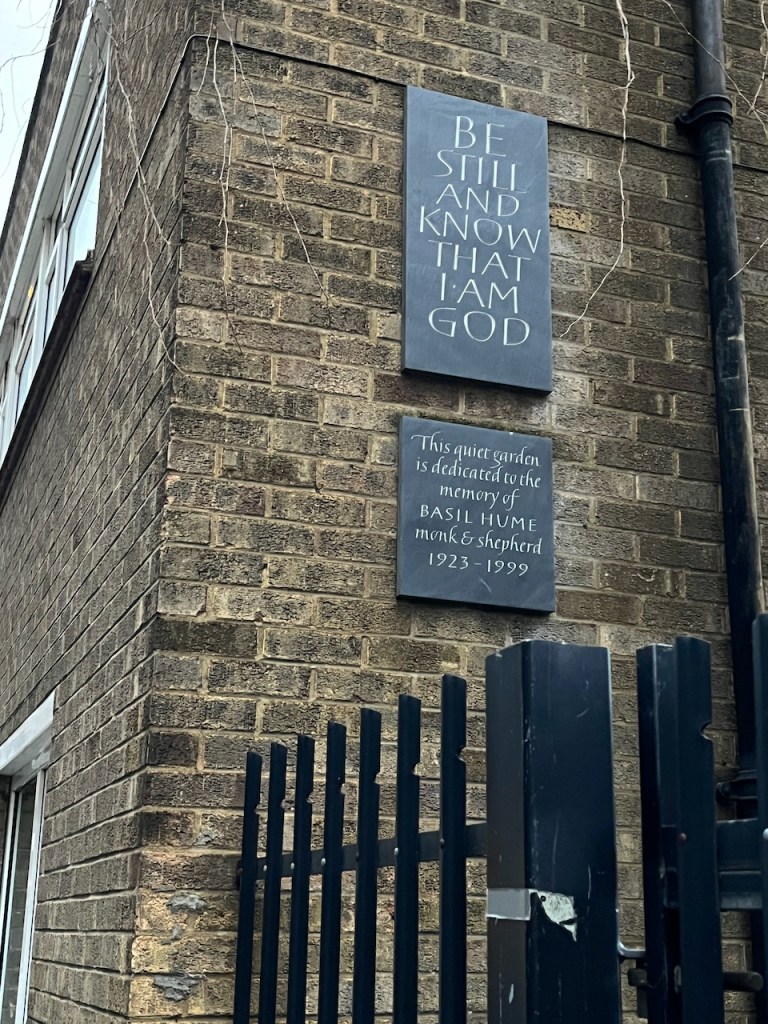
The area in front of the building is a quiet garden, in memory of Basil Hume, an English Catholic bishop. Sometimes the gate is open and you can go in. It has been arranged so that, even in this tiny space, it is possible to walk some kind of small pilgrimage, along a path, across a ditch, past a tree, and so round a corner to rest in the shaded hut. On the way you encounter a splendid birch tree with white bark, which I have seen grow from a sapling.
BE 
STILL
AND
KNOW
THAT
I AM
GOD
This quiet garden 
is dedicated to the
memory of BASIL HUME
monk and shepherd
1923-1999

Number 15 Lamb’s Buildings hosts several organisations now. The City Photographic Society uses the Church Hall in this building. It is also the registered office of the Catholic Herald. I have often heard music as I pass by, so it might also be used as a rehearsal space. There is ballroom dancing on Mondays. The smaller building to the south, on the left of my drawing, hosts a pregnancy advice centre. So this is a set of buildings is in use, actively serving the community despite the flaking paint.
I made this drawing quickly as the light faded on a cold and windy evening. After the pen, I retreated back to my desk to apply the colour.

The musician Andrew Pink has written in detail about this building, including a description of the organ in the basement church. His piece is here: https://andrewpink.org/lambs-buildings/. The church website is here: https://parish.rcdow.org.uk/bunhillrow/about-the-parish

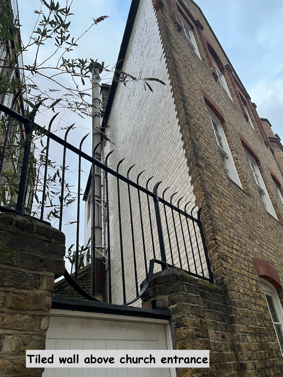
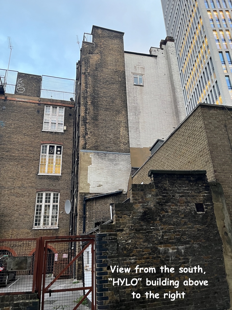
Here are some more photos of the building:

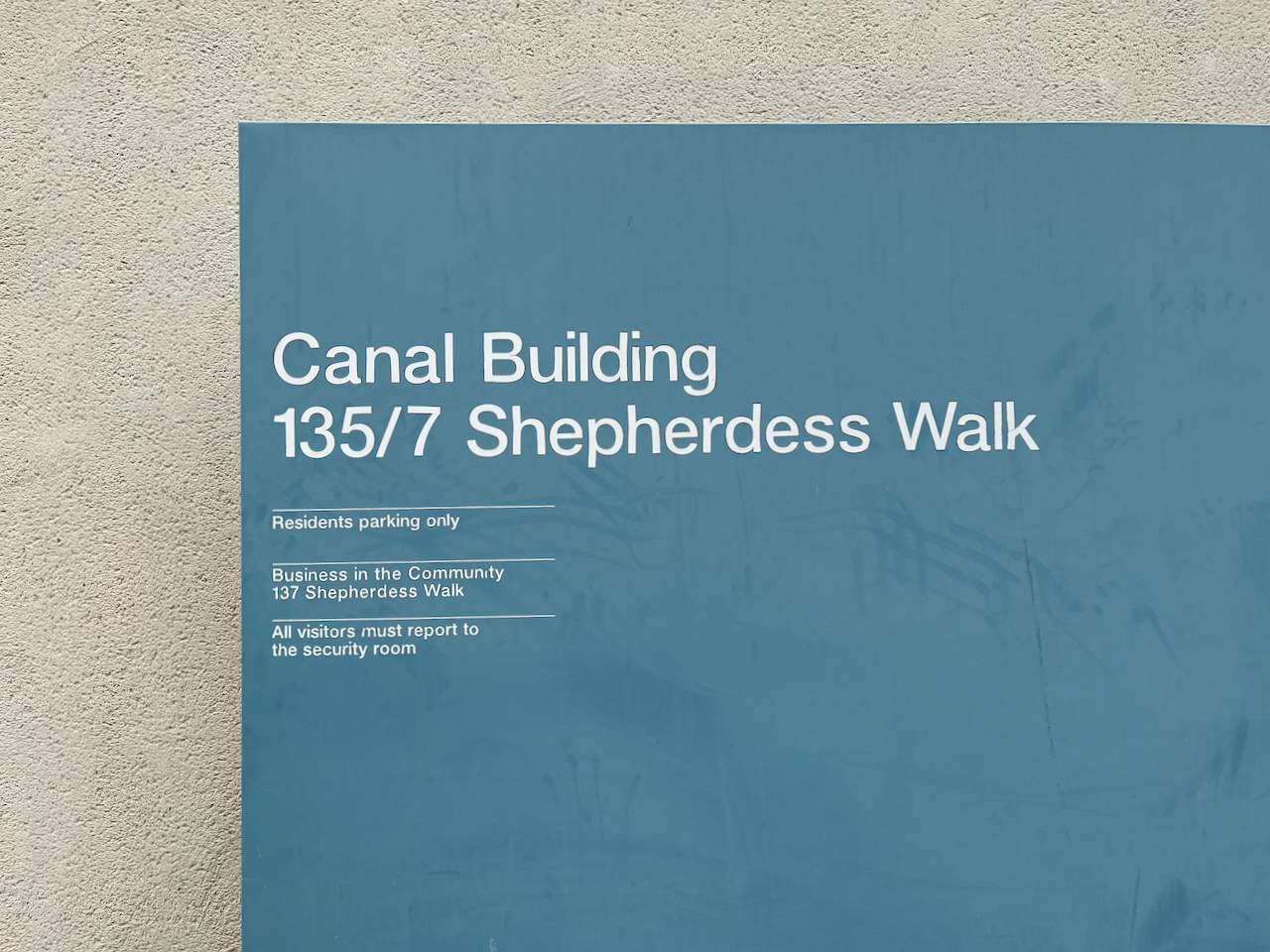
Canal Building, 135/7 Shepherdess Walk, N1

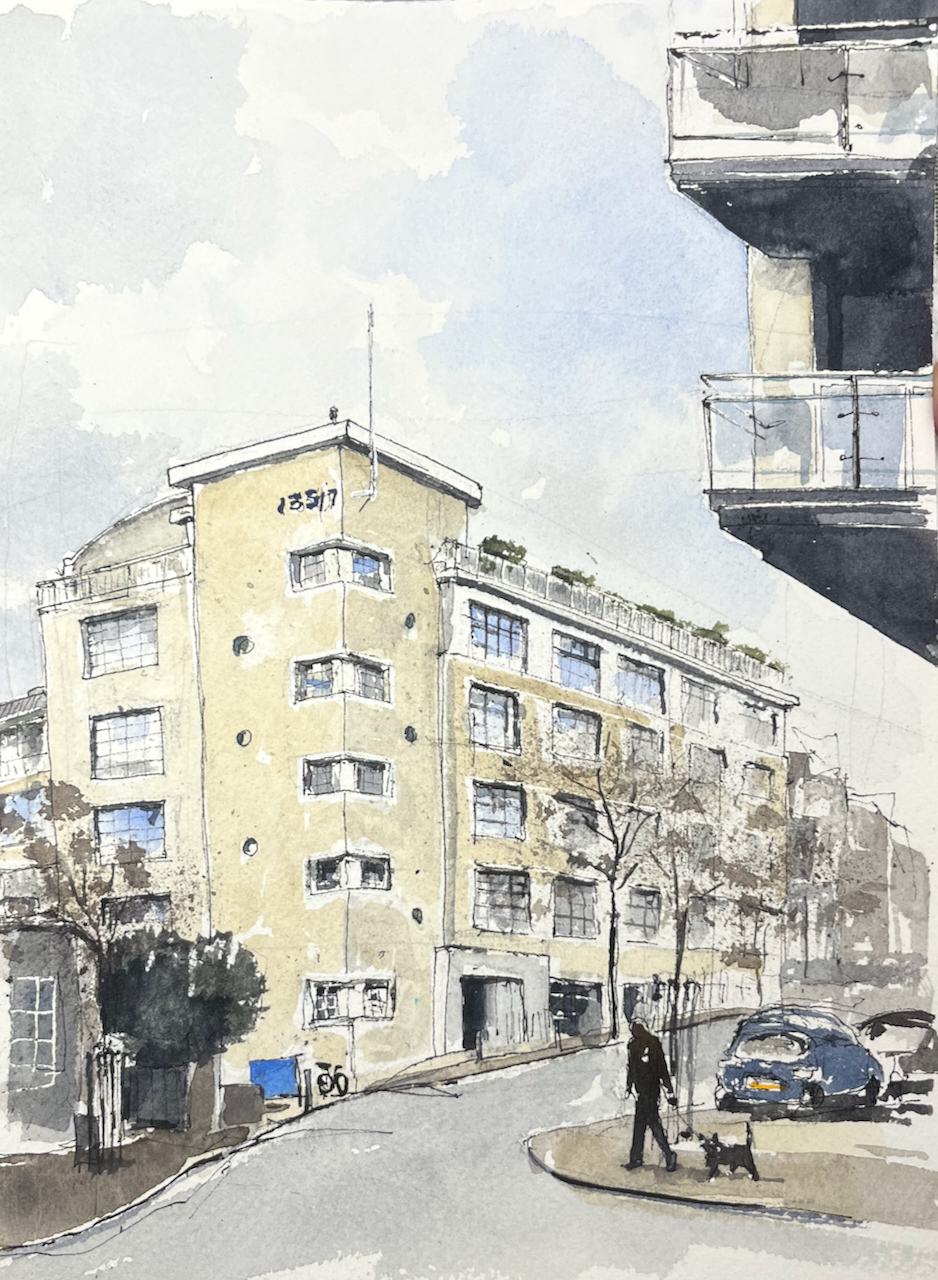
Here is The Canal Building, at the north end of Shepherdess Walk, sketched yesterday from the junction with Eagle Wharf Road.

Canal Building, Shepherdess Walk, London N1, sketched 29 December 2023 in Sketchbook 14

The building overhanging, in the top right of the drawing is part of Angel Wharf, 164 Shepherdess Walk. Shepherdess Walk leads over the Regents Canal, the bridge is just behind the cars in the picture. The buildings you see above the cars are on the other sidee of the canal. On the left is the “Wenlock Brewery”.

There is a tiny object on the roof of the Canal Building, next to the flagpole. It was hard to see what it was, but it looked like a wooden owl.

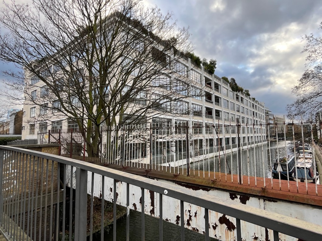
The Canal Building is a former 1930s Art Deco warehouse. In 2000, it was converted into apartments and commercial space to the design of the architects Child Graddon Lewis. This building gained the architects a place amongst the finalists for the 2023 Architecture Today Awards, in the category “Mixed Use and Retail”. There are 35 new apartments, 45 live/work units and 1100 sq metres of commercial space. Here are photos of the building from the canal side.

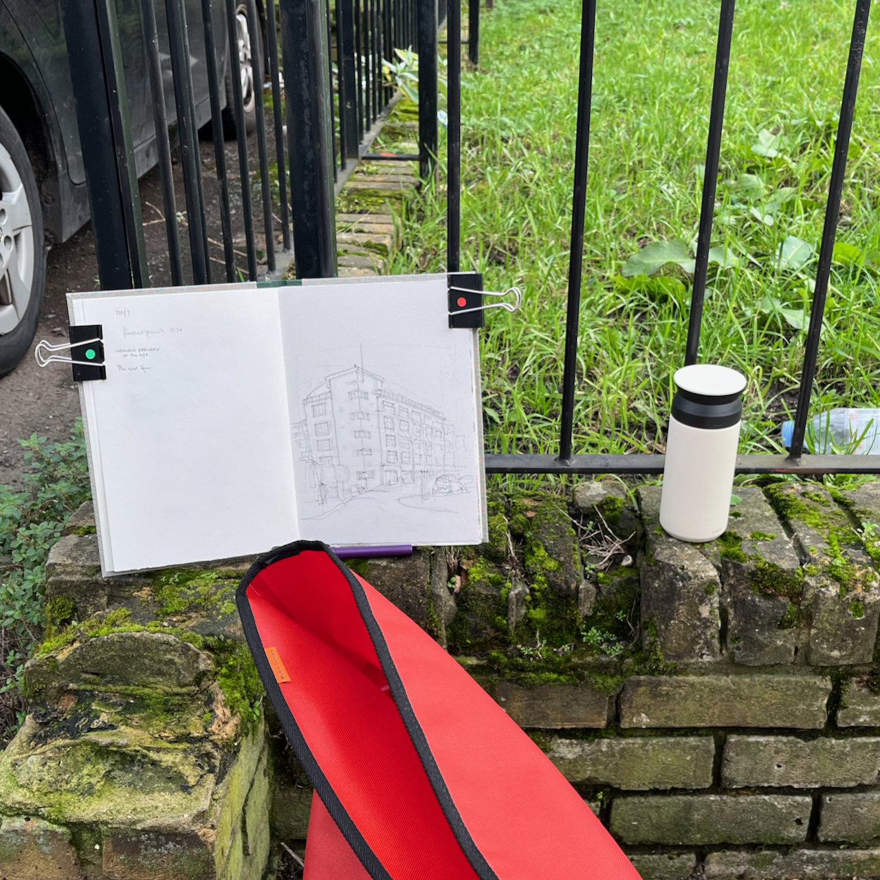
I did the pen on location and added the colour at my desk later. It was cold outside and I was sitting on a damp stone wall. Many people were out and about in the area, and two of them stopped to say hello and look at the drawing.

There are just three main colours in the sketch: Buff Titanium, Burnt Umber and Ultramarine Blue.

  • Buff Titanium for the Canal Building
  • All greys and blacks are Ultramarine Blue plus Burnt Umber
  • Ultramarine Blue for the blue car, the blue notice, and in the sky
  • The trees are Burnt Umber
  • And that’s it! There is a bit of Mars Yellow for the car number plate.

All colours are Daniel Smith except the blue, which is Schminke Horadam.

This is my first sketch in a new sketchbook!

Sketchbook 14

Here are some other sketches I’ve done in Shepherdess Walk:

The Eagle, 2 Shepherdess Walk

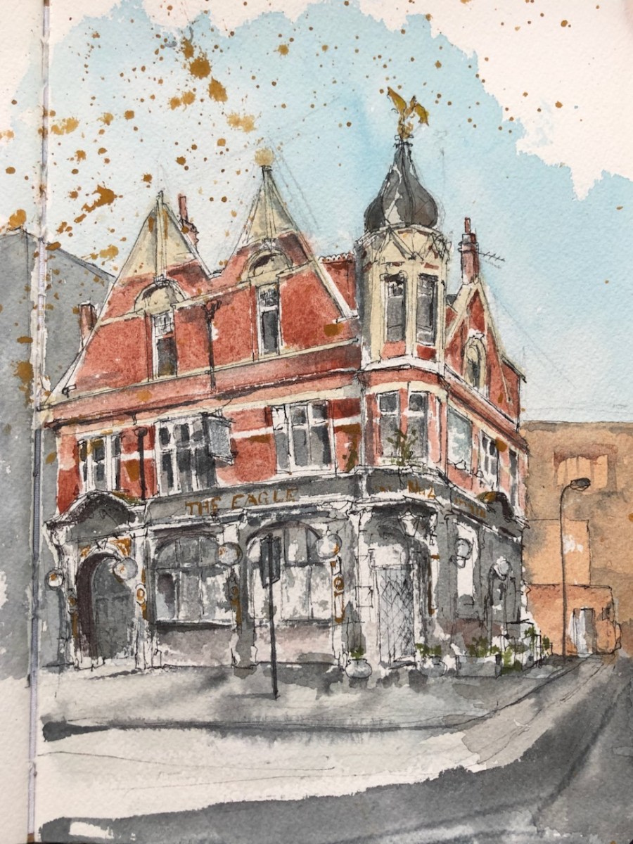
Here is The Eagle. This is a very old pub, located at a significant junction on City Road. In the picture above, the alley on the right of the pub is called “Shepherdess Place”. It leads to a police car park, and several…

Read more…

Plumage House, N1

Here is Plumage House, 106 Shepherdess Walk, London N1. This was a feather factory. According to Spitalfields Life this operated until 1994. The building is now rather shabby, though in a dignified way. I wonder what will happen to it? In the drawing,…

Read more…

Trellick Tower, London W10

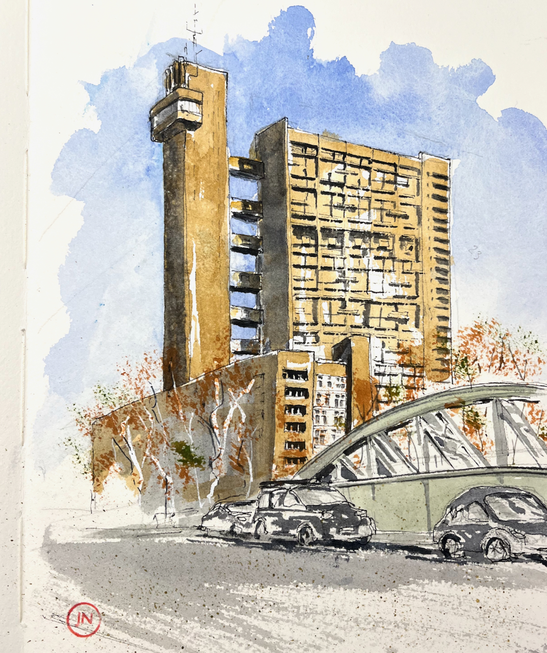
Here is the magnificent Trellick Tower in West London.

Trellick Tower from the Golbourne Road, London W10. Sketched 28 November 2023 in Sketchbook 13

This tower is 271 flats, 31 stories, completed in 1972 to the design of Ernő Goldfinger (note 1). It is in the Royal Borough of Kensington and Chelsea, near the Grand Union Canal and the A40 trunk road out of London. It is Grade II* listed (note 2)

After sketching, I was really cold. I found warmth and excellent food in the Sicilian Café “Panella” shown on the map above, recommended!

Panella – Golborne Road

Sketchbook spread: Trellick Tower

I have previously sketched the Balfron Tower in East London, also designed by Ernő Goldfinger.

Note 1: Information on the Balfron Tower and Trellick Tower is from the RIBA website: https://www.architecture.com/explore-architecture/inside-the-riba-collections/trellick-tower-turns-50

Note 2: Grade II* listing: https://historicengland.org.uk/listing/the-list/list-entry/1246688?section=official-list-entry

The RIBA site gives the number of flats as 271, the Historic England Site as 217.

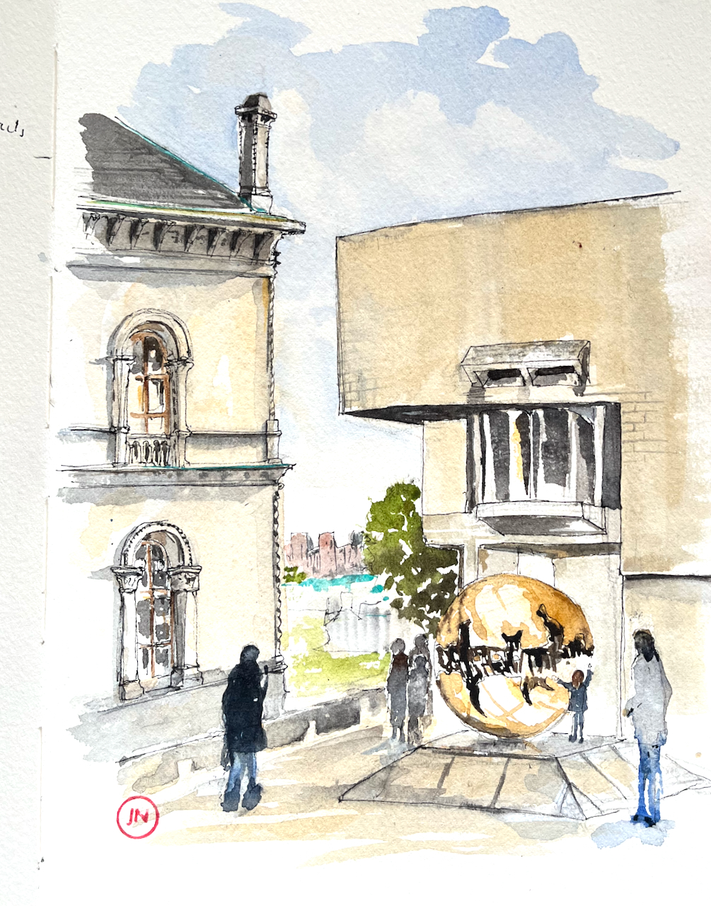
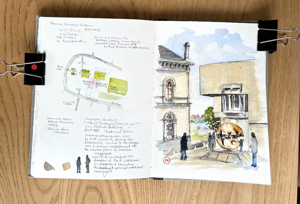
Trinity College Dublin, corner

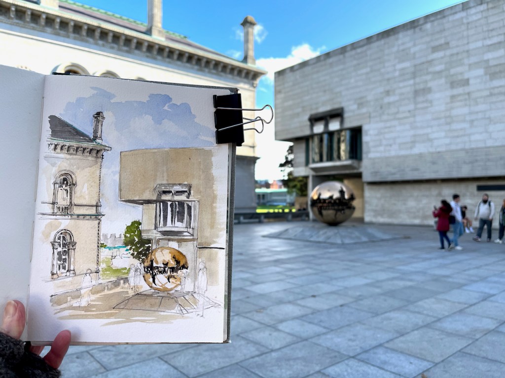
I was intrigued by this juxtaposition of two very different buildings, each radical in its own way. The top corners are just a few feet from each other.

A corner of Trinity College Dublin: Museum Building on the left, Library on the right with “Sphere with Sphere” in front. October 22nd 2023, in Sketchbook 13

The building on the left is called the Museum Building. It houses the Geography department, amongst others. I know this because there was a notice visible in one of its windows asking:

“Without Geography, where are you?”

This building was finished in 1852. According to the website “makingvictoriandublin.com” the style is called “Ruskinian Gothic”. The design is by Cork architects Deane, Son and Woodward, influenced by the philosophies of the English writer, artist and art critic John Ruskin, says the Making Victorian Dublin site.

Central to the design was a radical endorsement of the creative power of human happiness…the architects encouraged the freedom of their workmen [sic] in designing and executing the building’s external and internal carvings.

makingvictoriandublin.com

The external and internal carvings are very complex combinations of leaves and flowers. A notice inside the building tells us that all the building’s carvings are by brothers John and James O’Shea of O’Shea and Whelan and that they gathered wild flowers and animals (amazingly) to use as models.

Even as the Museum Building was being built the Dublin press recognised it as the first experiment in British and Ireland of Ruskin’s radical views – a clear demonstration of the ‘the desireableness of employing the minds of the workmen’.

This experiment’, wrote the reviewer in the Dublin Express, ‘proves the general correctness of [Ruskin’s] views, and, moreover, has resulted far better than even the most sanguine advocates of this system had allowed themselves to expect.’

makingvictoriandublin.com

The whole building is influenced by Venetian designs observed by John Ruskin.

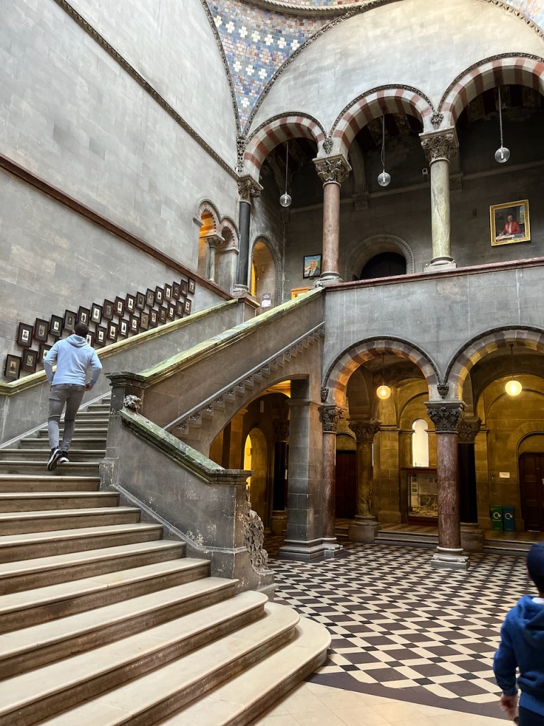
The inside of the building is spectacular. As well as the soaring architecture and the fascinating patterns and arches, there are also two skeletons of elks, some dinosaur footprints, and a model of a floating crane boat. You could spend hours there sketching.
Museum Building, Trinity College Dublin, interior, 22 October 2023.

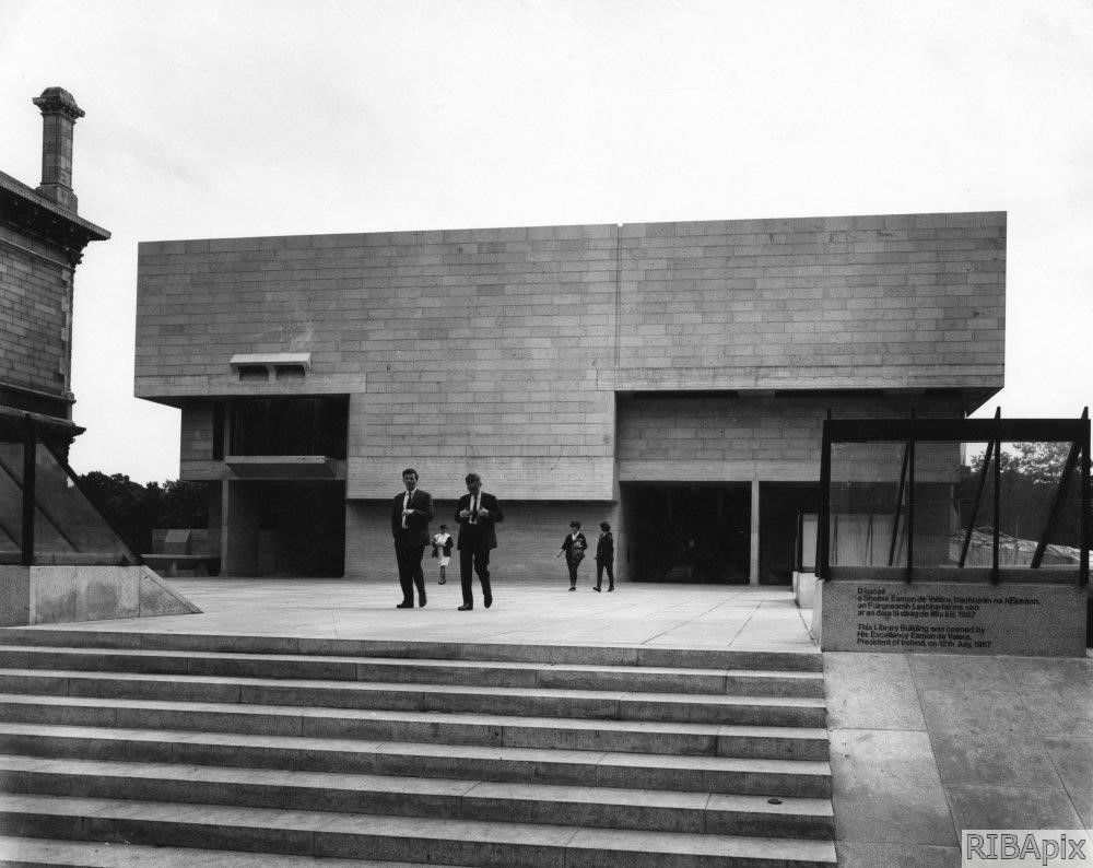
The building on the right of my drawing is a library, opened in 1967. It is in the radical style of that period: the Brutalist style. The building’s clean lines and functional appearance are characteristic of this style. The architect was Paul Koralek of ABK architects.

The library in 1967: Berkeley Library, Trinity College, Dublin: the entrance front and raised forecourt. Photo credit: Architectural Press Archive / RIBA Collections. [RIBA51354] Used with permission.

In 2017 the College ran a celebration of the library after 50 years. Their website includes pictures of the interior and furnishings. https://www.tcd.ie/library/berkeley

Two buildings talking to each other
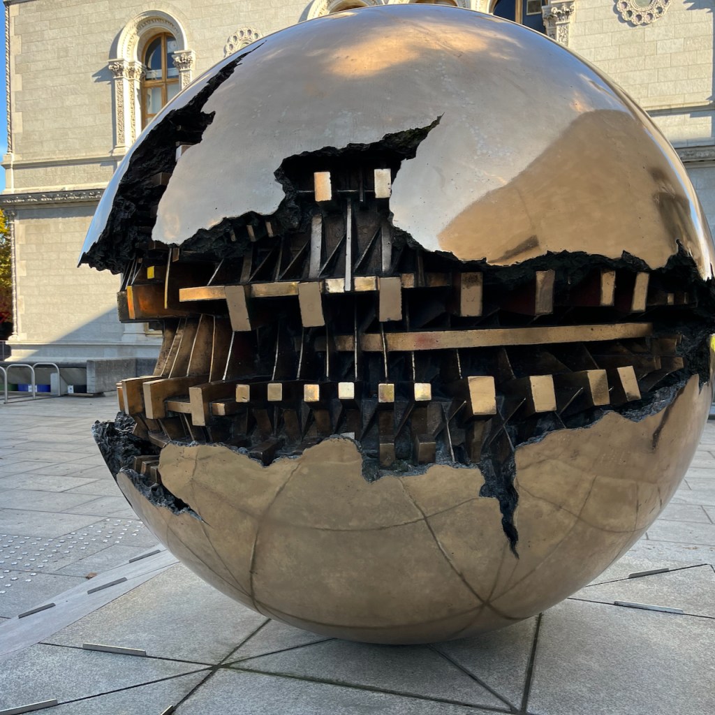
“Sphere with Sphere”

The spherical object in my drawing is a sculpture by Arnaldo Pomodoro called “Sphere with Sphere 1982/3” according to an inscription on the pavement.

I sketched for about an hour and a half. During that time waves of people crossed the square. There were a remarkable number of tourists, some with tour guides, moving in groups.

At one point, a solitary woman approached me and asked to see the picture. She smiled and said something in her own language which sounded like a compliment. So I said thank you, and smiled back. She told me that she didn’t speak English, and held up four fingers, counting, to explain she had only been here for four days. She was from Ukraine, she said. Her hands modelled an aeroplane taking off and landing. A wide uplifted arm gesture took in the autumn sun, the buildings and the people, expressing gladness to be here. She pointed at my drawing, and nodded again, making what was evidently a positive comment and a connection. Then she said goodbye and I said goodbye.
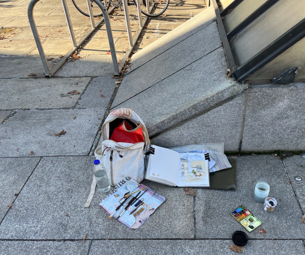
Sketching location
Sketchbook 13

Colours used:

  • Buff titanium (all brickwork and concrete)
  • Mars Yellow (brickwork, concrete, sphere
  • Ultramarine Blue plus Lavender (sky)
  • Ultramarine Blue plus Burnt Umber (all greys)
  • Serpentine Genuine (trees)
  • a small bit of Cobalt Teal Blue and Fired Gold Ochre in the background

All Daniel Smith watercolours except the Ultramarine Blue which is Horadam watercolour.

London Liverpool Street, EC2

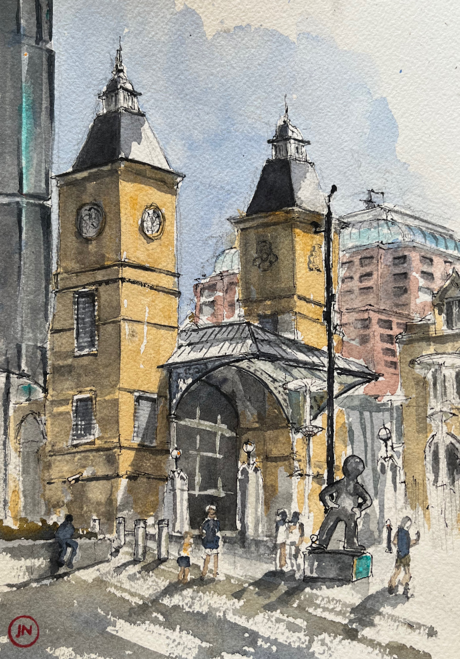
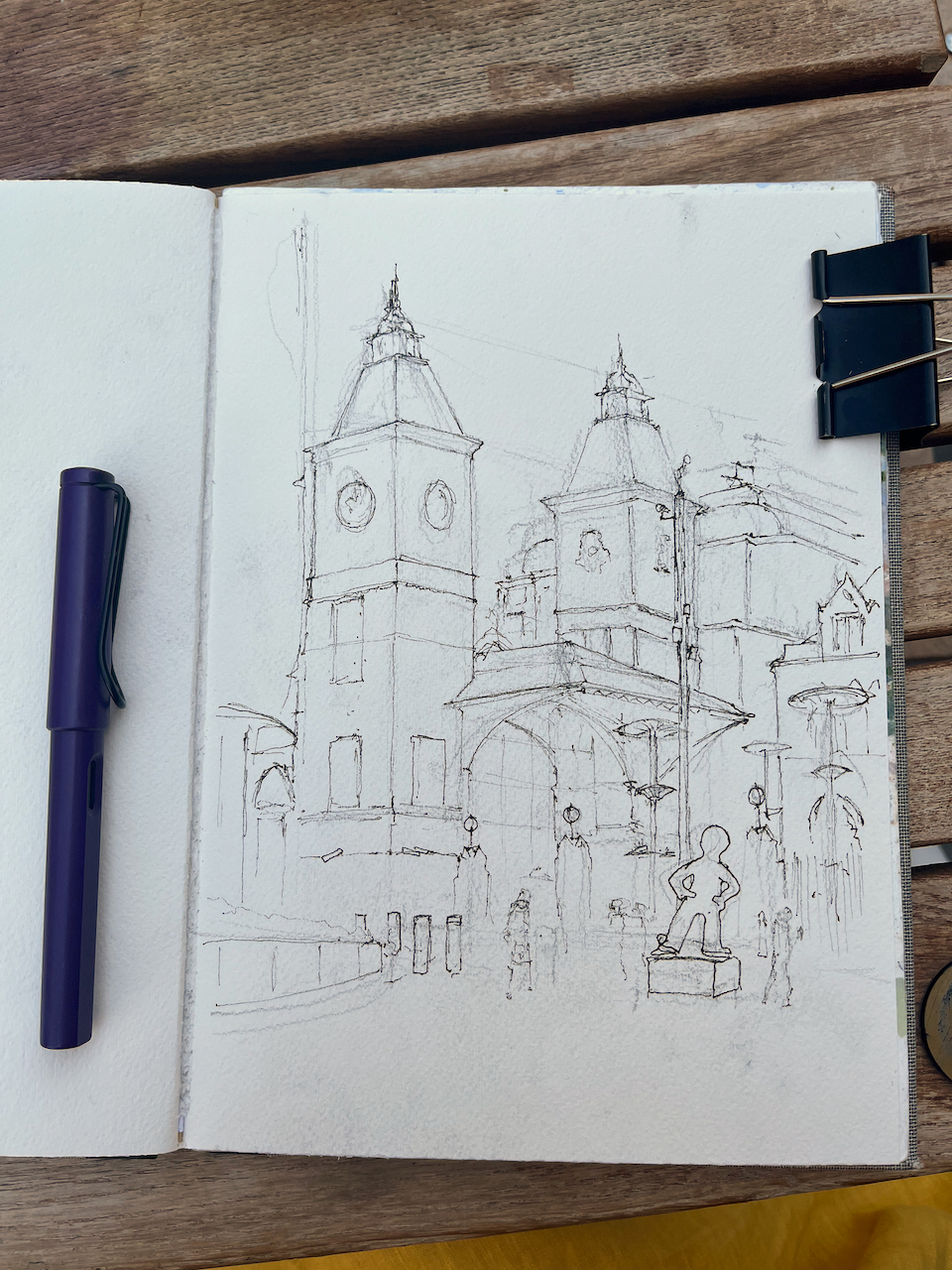
Here is Liverpool Street Station, main entrance, sketched today from outside the “Railway Tavern”.

Liverpool Street Station, 25th June 2023, 1pm. 8″ x 10″ in sketchbook 13.

The humanoid figure on the plinth is Morph, part of a temporary art trail.

The area in front of the main entrance is like an art installation in itself, a collector’s assembly of street furniture: two different types of bollards, long ribbons of fencing, several species of street lamps, and that enormous CCTV stand which is just behind Morph. It’s surprising that people can find their way into the station in amongst the obstacles. I haven’t drawn them all.

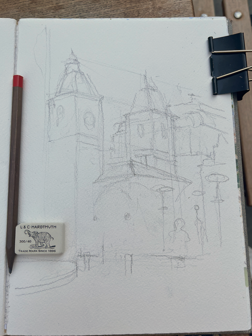
Here’s work in progress on the sketch:

This section of Liverpool Street Station was built in 1875 as the new London terminus of the Great Eastern Railway. The building on the right of my drawing is the edge of the former Great Eastern Hotel (1884), now the Andaz London Liverpool Street. The pink building in the background is an office block on Bishopsgate.

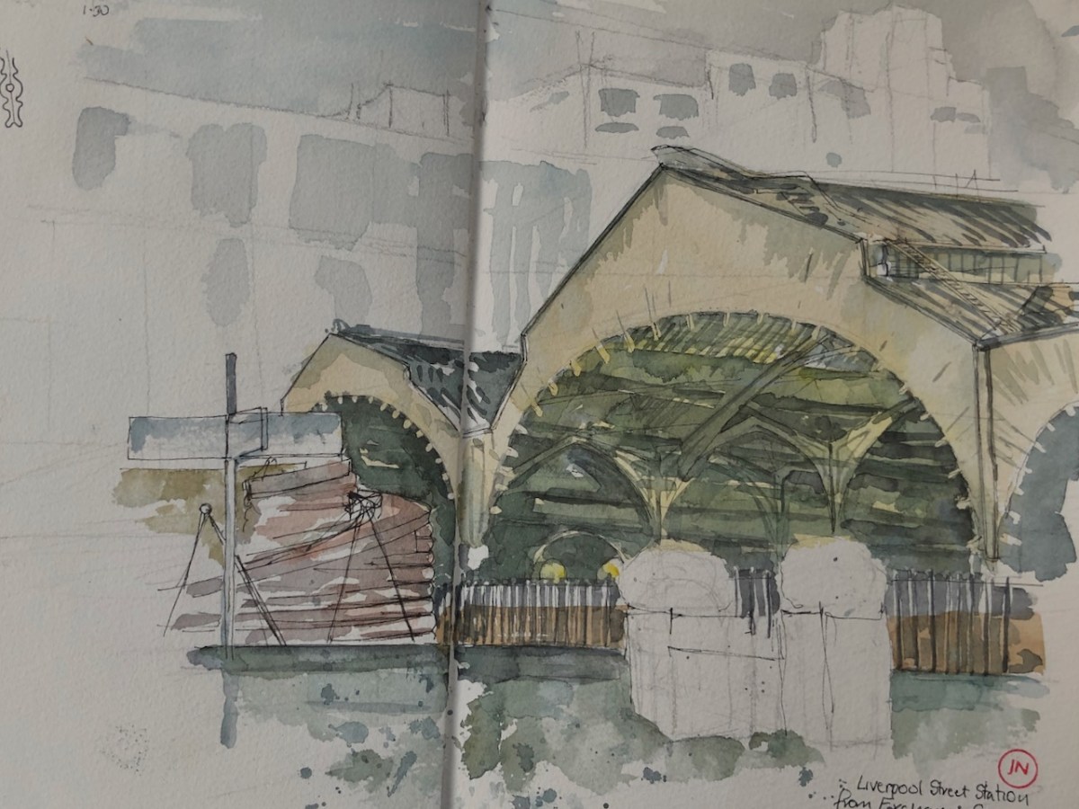
I’ve sketched in this area before. This post contains more information about the history of Liverpool Street:

Liverpool Street Station from Exchange Square

Here are the magnificent 19th Century arches of Liverpool Street Station, seen from Exchange Square. Liverpool Street Station opened in 18751 Now the question is: what curve is that arch? I thought it might be a CYCLOID. A cycloid is the shape made by a dot on the edge of a rolling wheel. I made…

Keep reading

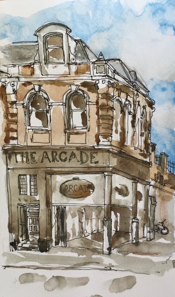
In 2019 I sketched the entrance to “The Arcade” which is shown on my sketch map. See this post for more about this sketch of The Arcade.

Oxford Nuclear Physics Building

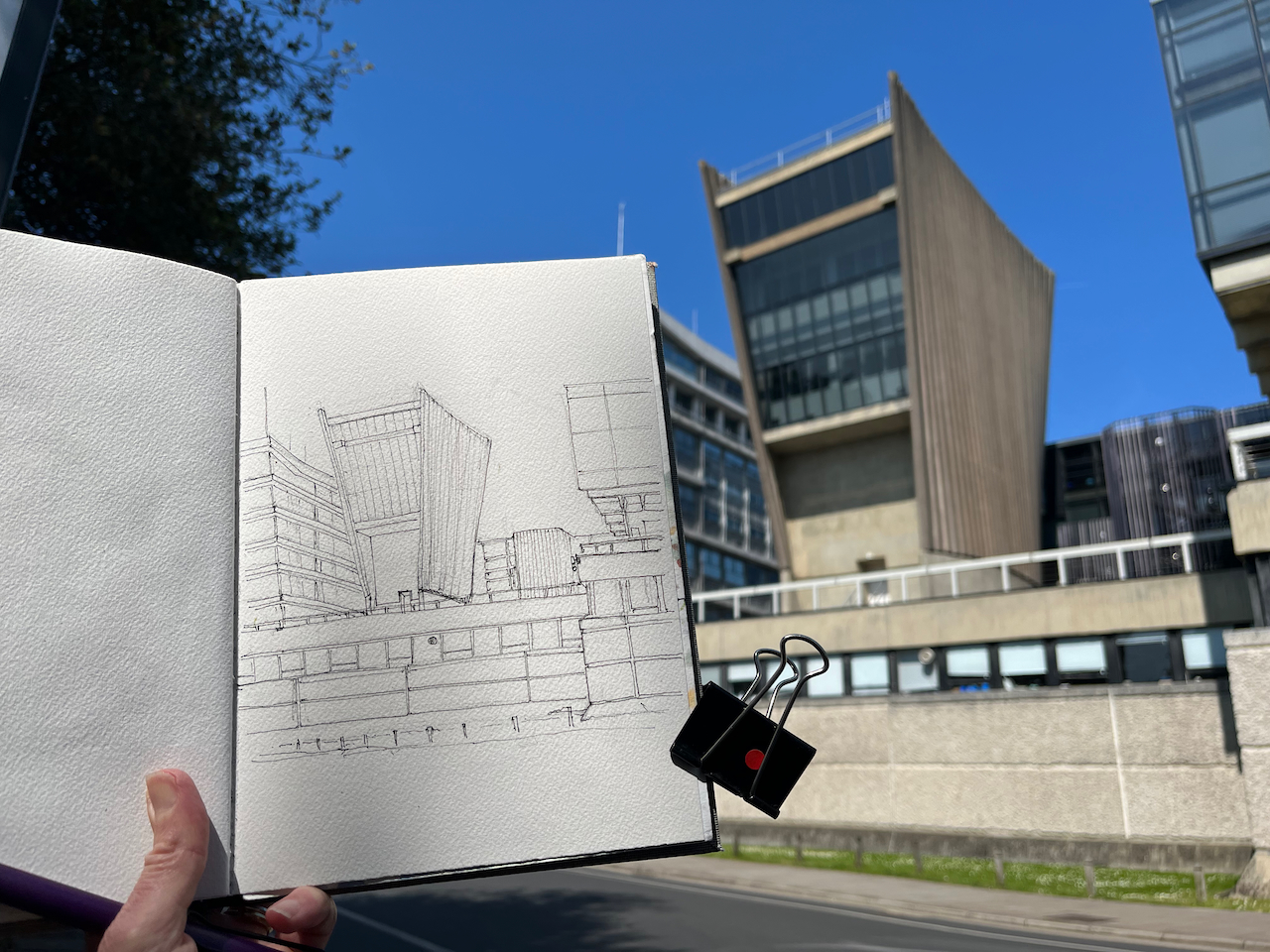
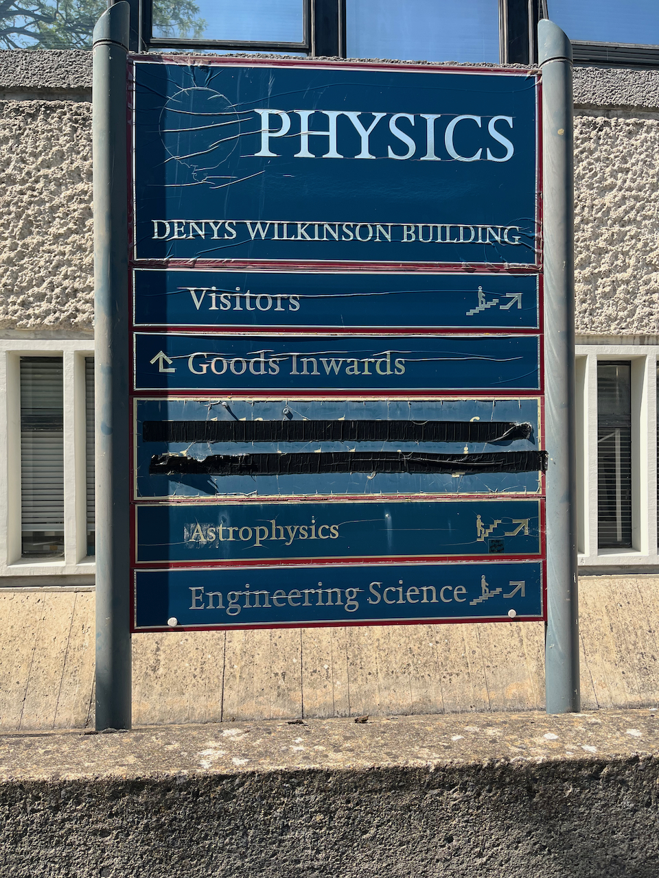
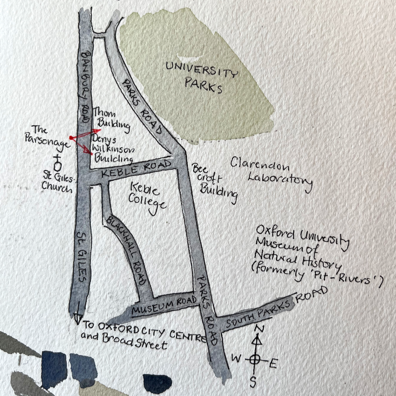
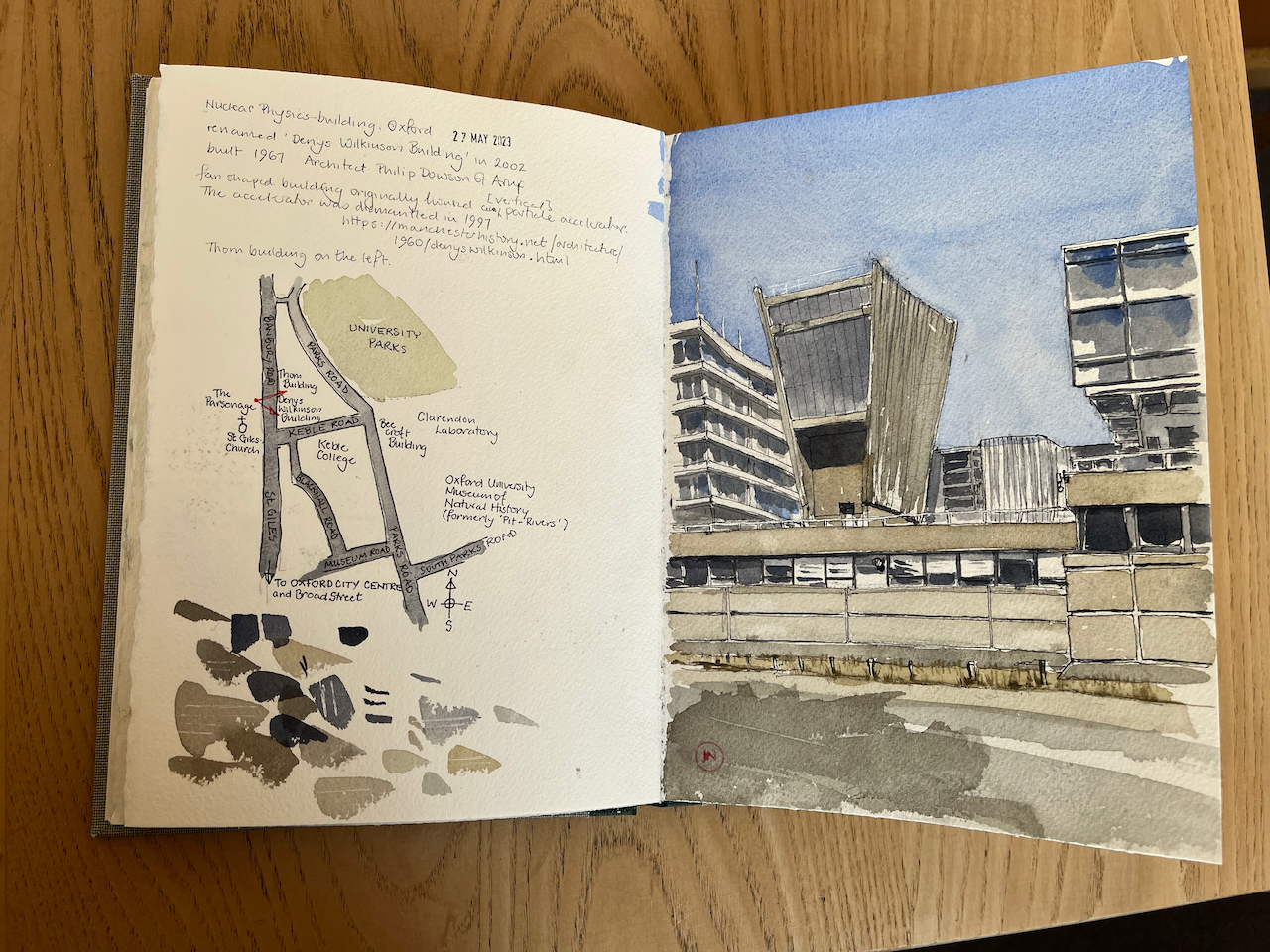
Here is the University of Oxford Nuclear Physics building, seen from the Banbury Road.

The Nuclear Physics building, now the Denys Wilkinson building, University of Oxford. Sketched 27 May 2023, in Sketchbook 13

The building was renamed the “Denys Wilkinson Building” in 2002. It was built in 1967 to the designs of architect Philip Dowson of Arup. The fan-shaped structure originally housed a Van der Graff particle accelerator, now dismantled. [https://manchesterhistory.net/architecture/1960/denyswilkinson.html]

Professor Wilkinson (1922-2016) was the Head of the Nuclear Physics Department from 1962-1976.

The building on the left is the “Thom Building” which houses the Engineering Department. This building had a marvellous “paternoster” lift in the 1970s. (Note 1). This is a lift with single compartments, which operates in a continuous loop, like rosary beads, hence the name. You simply stepped into one of the slowly moving compartments and were carried up or down.

Here is work in progress on the drawing:

The fan-shaped structure is a rare example of brutalism in Oxford. St Catherine’s College is another example.

Ought we to treat the Denys Wilkinson building and St. Catherine’s College as a celebrated chapter in Oxford’s aesthetic history, or as evidence of a period better forgotten?

Caitriona Dowden -writing in the Cherwell, 26th October 2020 [https://cherwell.org/2020/10/26/oxfords-eyesores-brutalisms-place-among-the-dreaming-spires/]

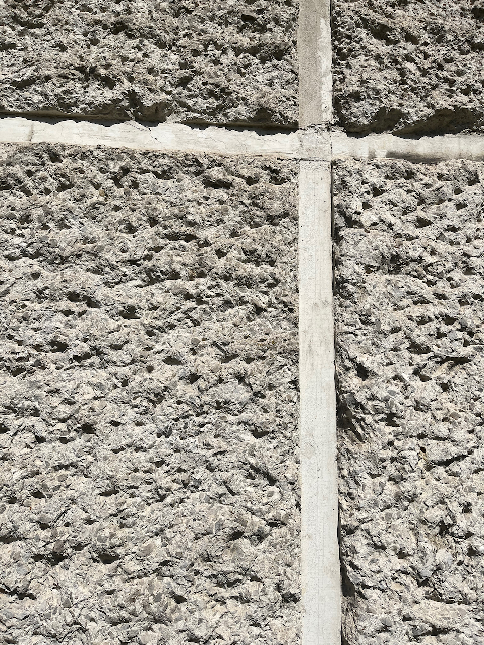
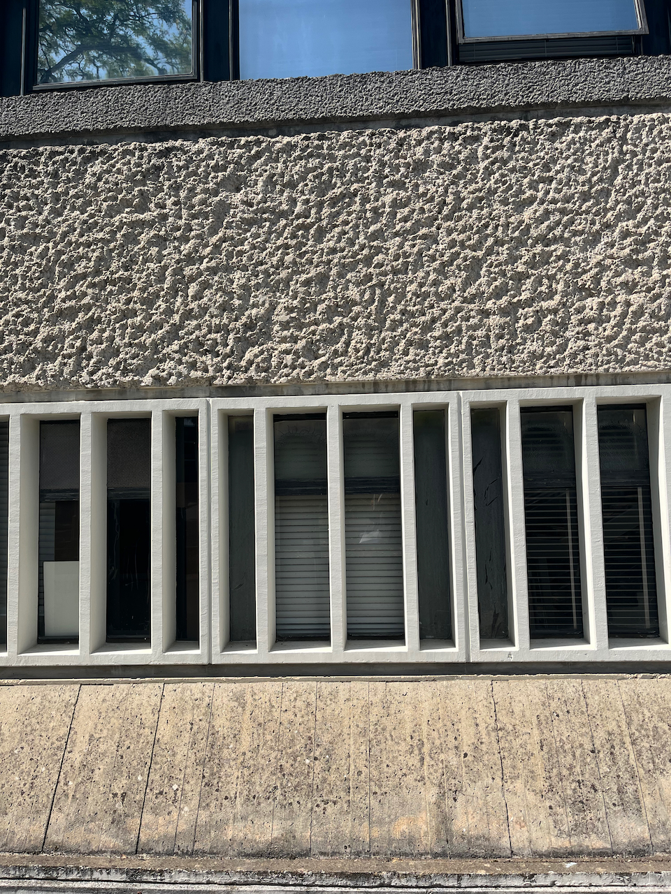
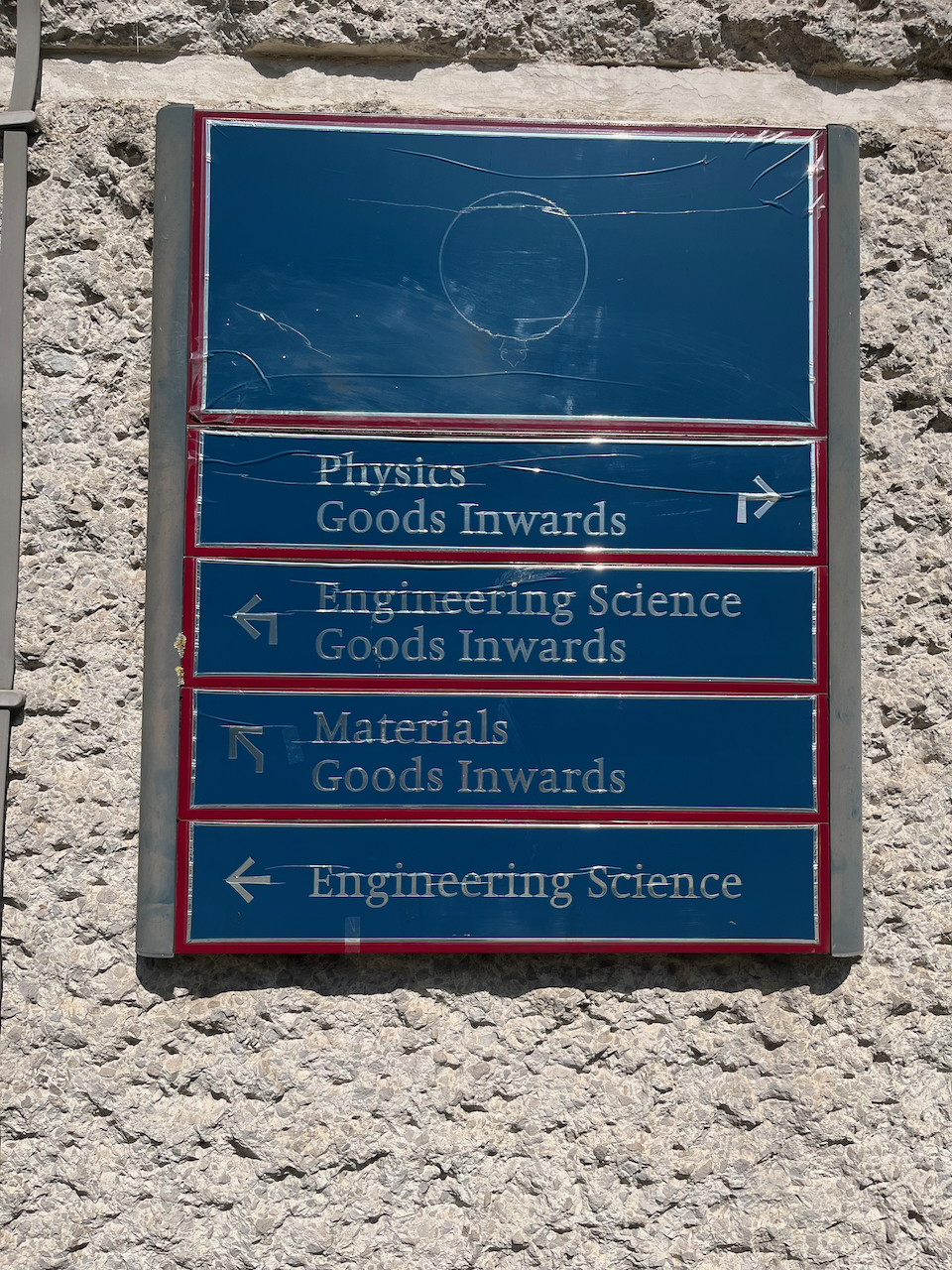
A celebrated chapter in Oxford’s aesthetic history, I think. here are some details of the design, for brutalism enthusiasts like me:

Note 1: Alan Knight writing of his memories of the department confirms my recollection: https://www.soue.org.uk/souenews/issue2/jottings.html. The paternoster was replaced by two ordinary lifts in the 1980s.