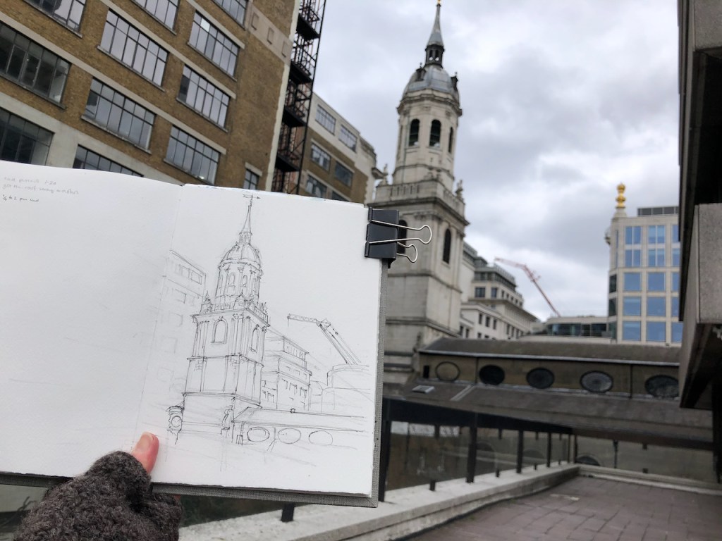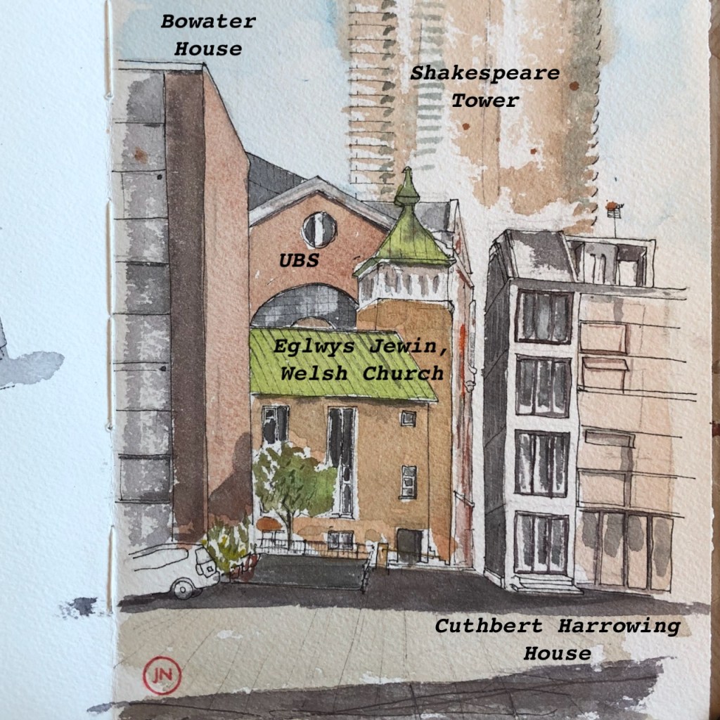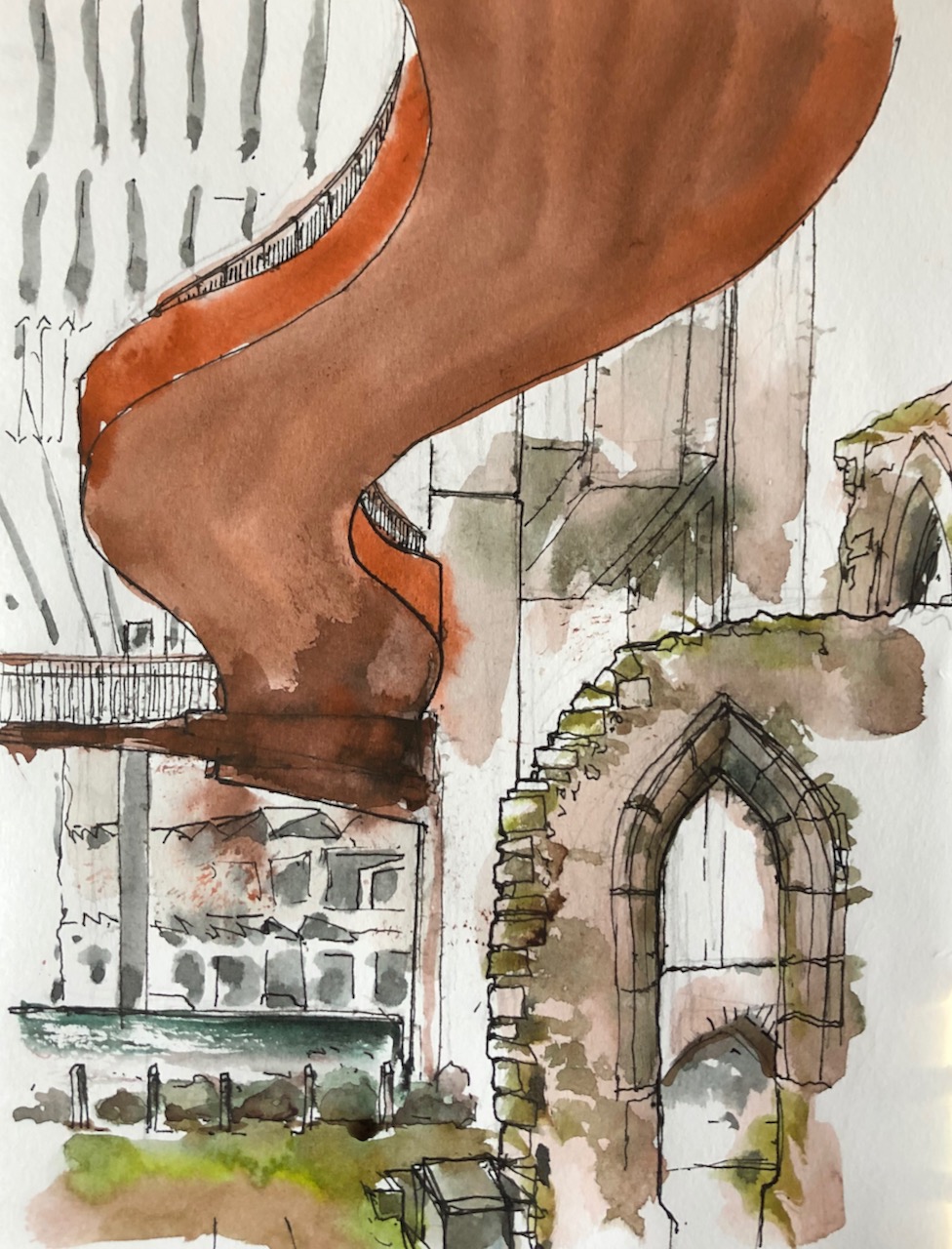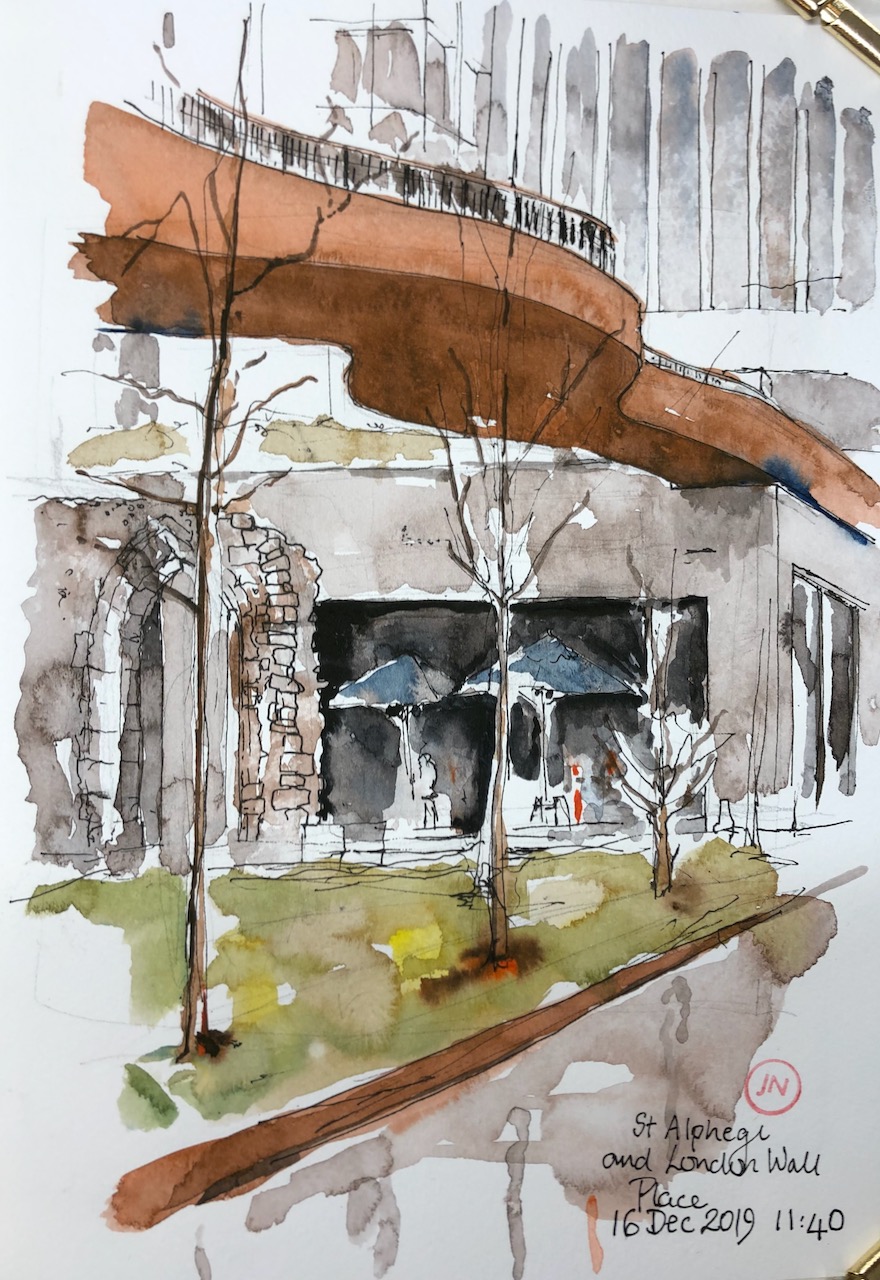
This is the view looking South along Seething Lane. The ground falls away quite steeply here, towards to the Thames. On the left, out of the picture, is “Ten Trinity Square” a 2017 Four Seasons development in the 1912-22 offices of the Port of London Authority. Behind me as I drew this picture was an incongruous 21st century cubical building, which seems to house utilities or a power plant of some sort, possibly communicating with chambers below ground. From time to time it emitted whirring and pumping noises.
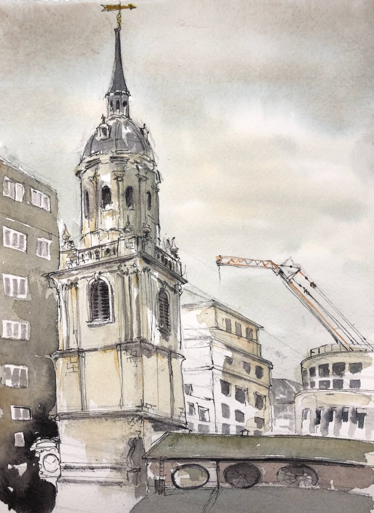
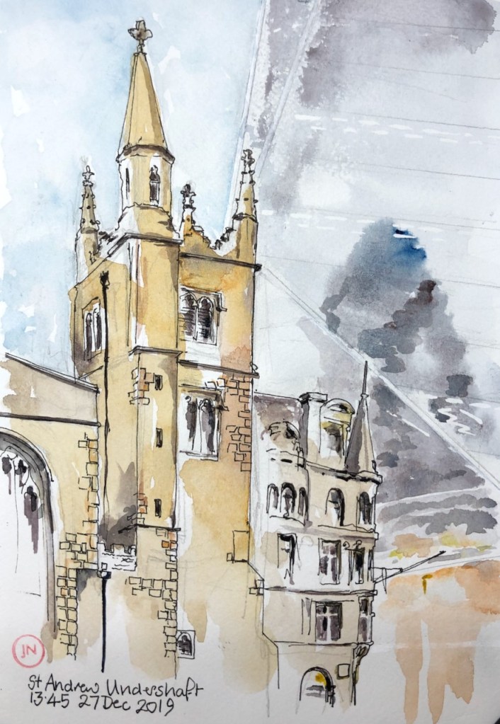
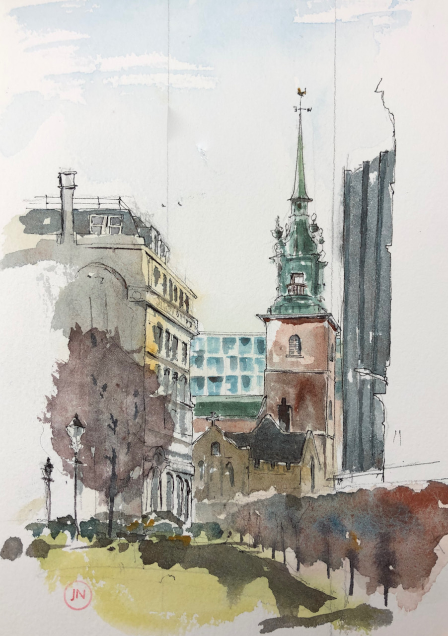
Above ground is Seething Lane Gardens, and this view of All Hallows by the Tower.

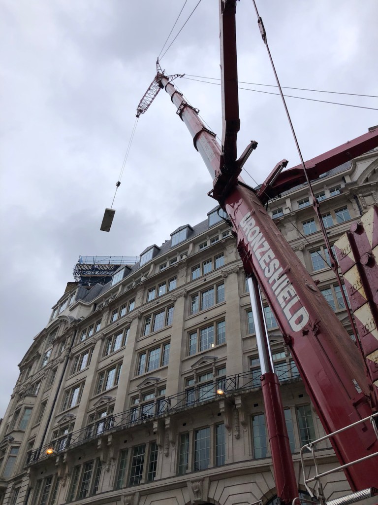
All Hallows by the Tower describes itself as “the oldest church in the City”, referring to evidence that it existed 675AD. It is near the Tower of London and former docklands. Like many City Churches, it has been reconstructed several times in its long history, most recently after severe bomb damage in the 1939-45 conflict. The tower you see in my drawing was built in 1955, and the “spiritedly Baroque copper-clad spire” (Pevsner1) was added in 1958. Here is a photo during the reconstruction process. You see the Tower of London in the background to the right.
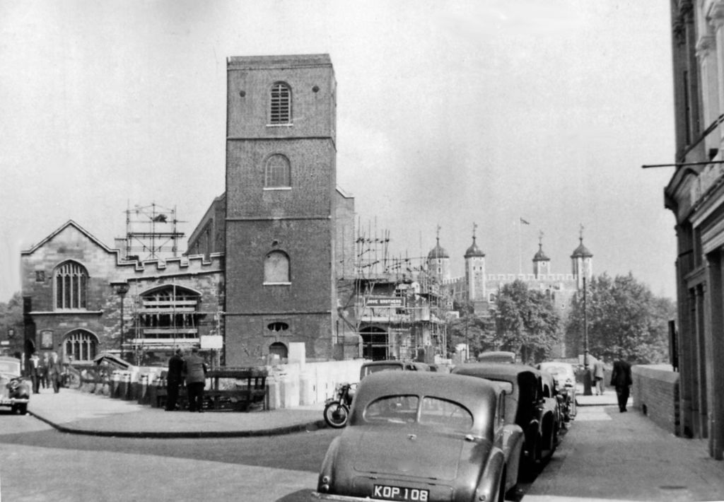
For comparison, here is the same view today. I had to stand a bit further back to get the whole tower in shot.The single lamp-post in the distance in 1955 is still there today, but now it is joined by a host of other street furniture. And there’s a tree in front of the church now.

Once again the marvellous “A London Inheritance” site has a fascinating article on the church.
The church is on Byward Street, which becomes Tower Hill.

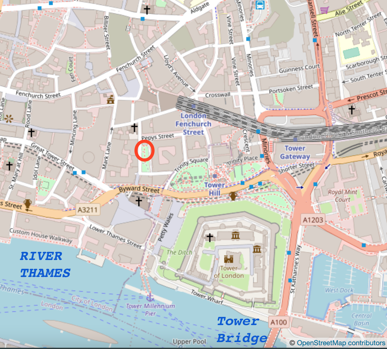

1888 map showing Mark Lane Station (note 2)
The building to the left of my drawing is number 16 Byward Street. There’s an “All Bar One” at ground level. According to Pevsner1 below this building is the former “Mark Lane Underground Station” (1p440). This was closed when the current Tower Hill Station replaced it in 1967.
The building to the right, with the dark vertical fins, is ‘Knollys House’, described by Pevsner1 as “a slab” (p439). The architect was Howard, Souster and Fairburn. The fins are a 1985 refurbishment.
Seething Lane Gardens, where I was sitting, were re-opened in 2018 after a two year closure. According to the City of London Press release at the time (6 July 2018)
“Rainwater harvested from the roof of the 10 Trinity Square will be used to irrigate the garden. The garden has a long association with the 17th century diarist, Samuel Pepys, who lived and worked in the Navy Office which once stood on the site. It is marked by a Blue Plaque and a bust of Pepys by late British sculptor Karin Jonzen, which stood in the former garden, has been relocated as a centrepiece of the new garden.”
No mention is made of the cubical structure which makes the whirring noises. I must investigate further.

Cubical building (outlined) – Ten Trinity Square on the right. 
Cubical building: Ten Trinity Square behind to the right.
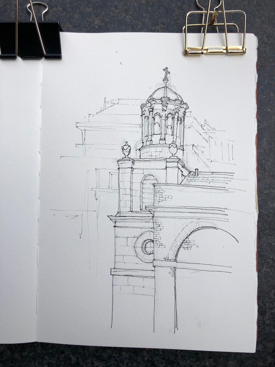
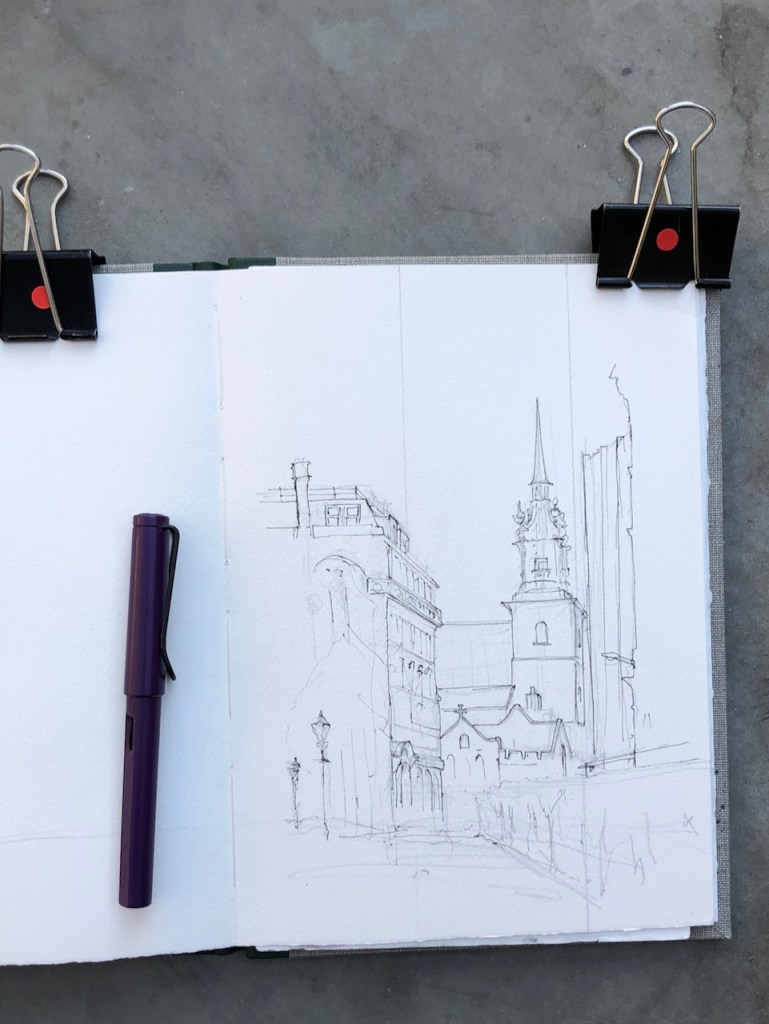
Here is work in progress on the drawing:


REFERENCES
- Pevsner: London 1, The City of London by Simon Bradley and Nicholas Pevsner 1997 edition.
- Mark Lane Station on an 1888 plan: “This file is from the Mechanical Curator collection, a set of over 1 million images scanned from out-of-copyright books and released to Flickr Commons by the British Library, Public Domain, https://commons.wikimedia.org/w/index.php?curid=32674842”