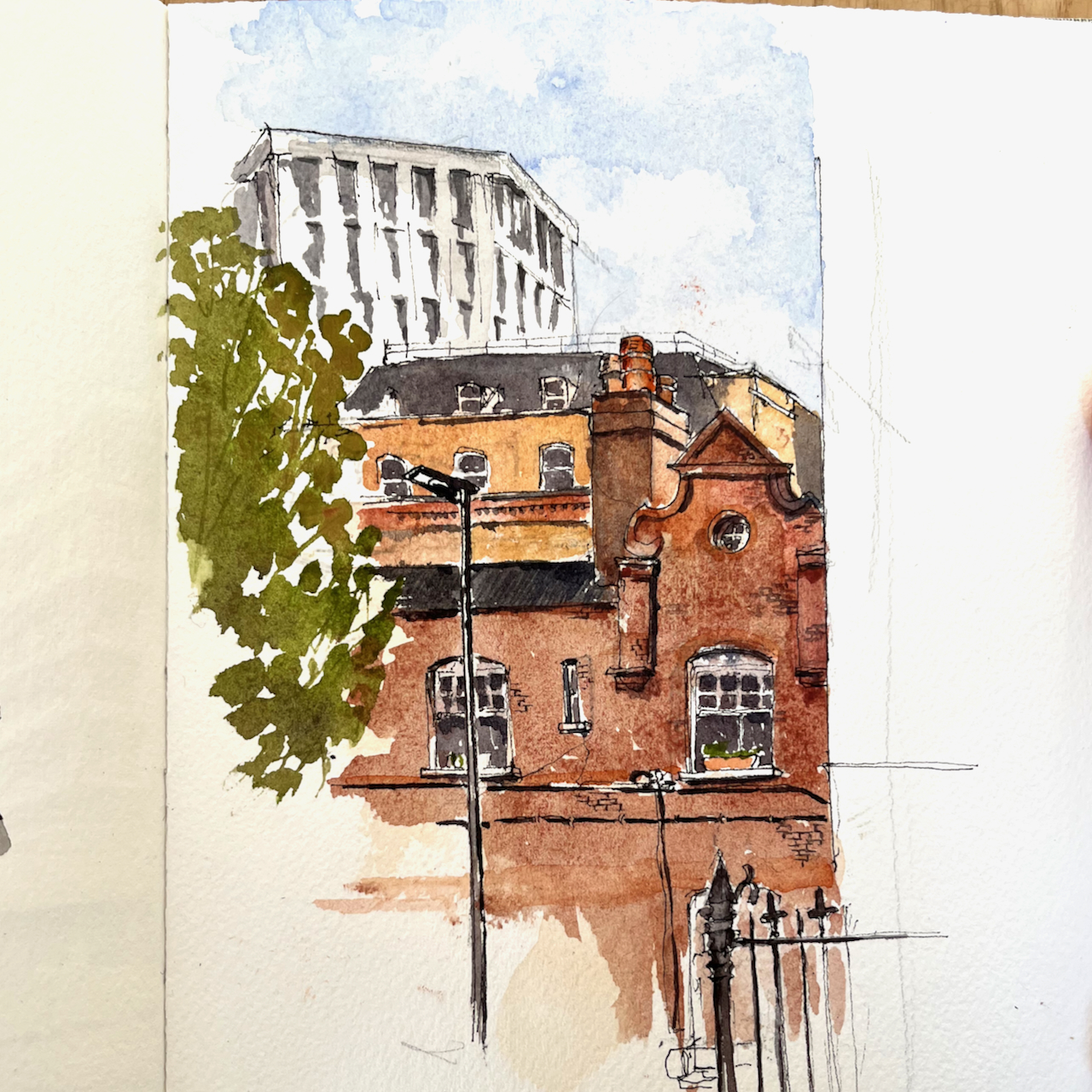
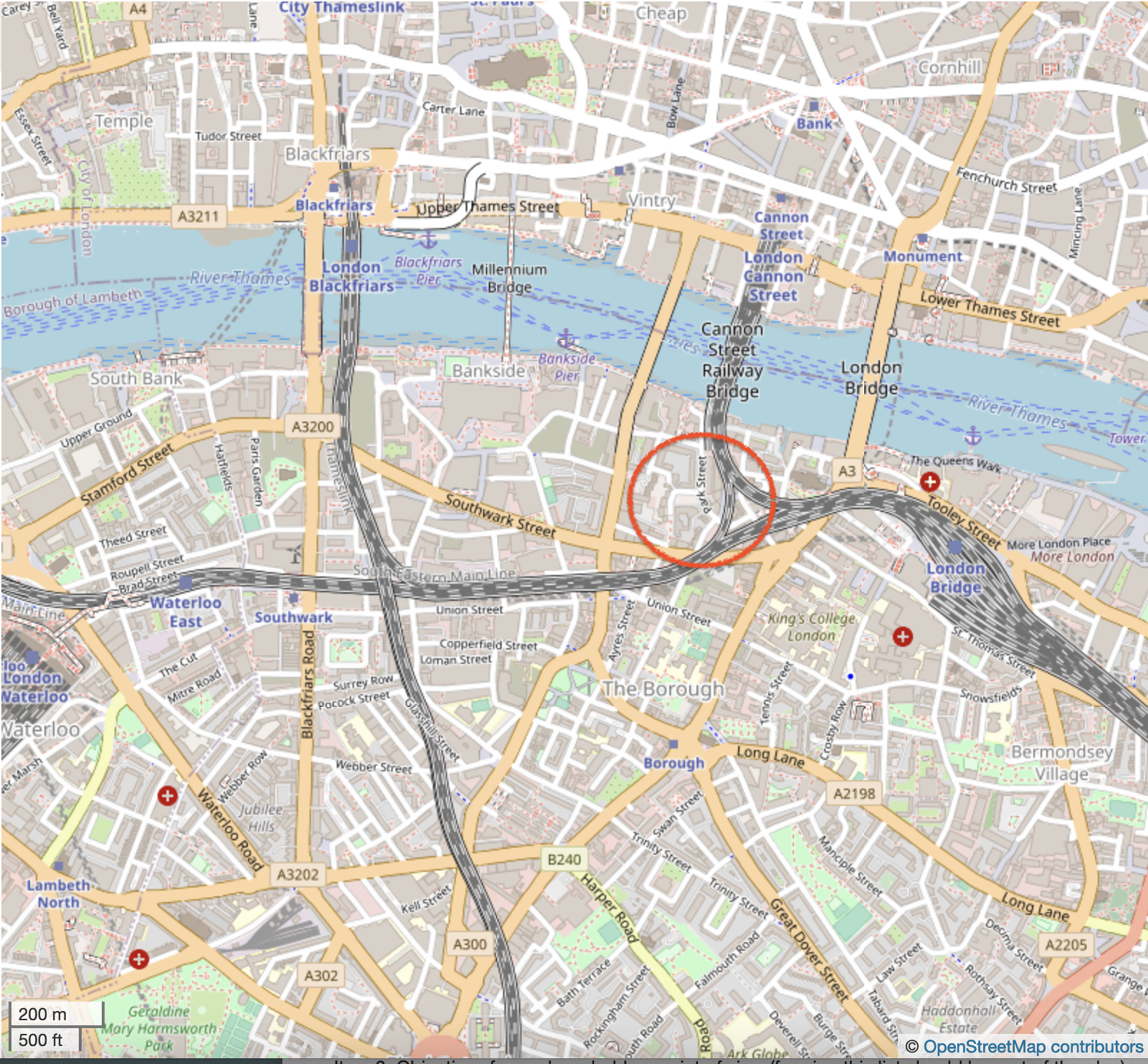
21 and 23 Park Street, Borough SE1 “Take Courage”

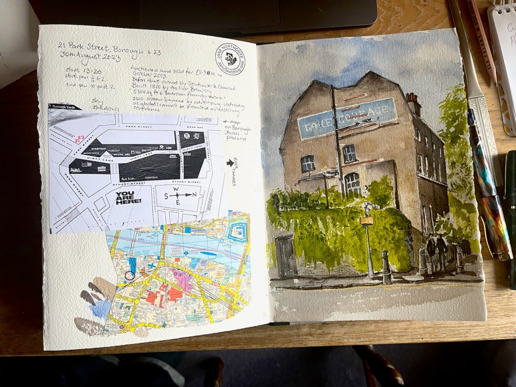
I enjoy the marvellous trigonometry of this roof, and the encouraging slogan on the wall.

21 and 23 Park Street, Borough, Southwark, London SE1. Sketched 30th August 2023, 2pm.

The slogan is for a brewery, Courage.
This house was built in 1820 for the managers of the Anchor Brewery, then on this site. The Anchor pub is on the river Thames nearby.
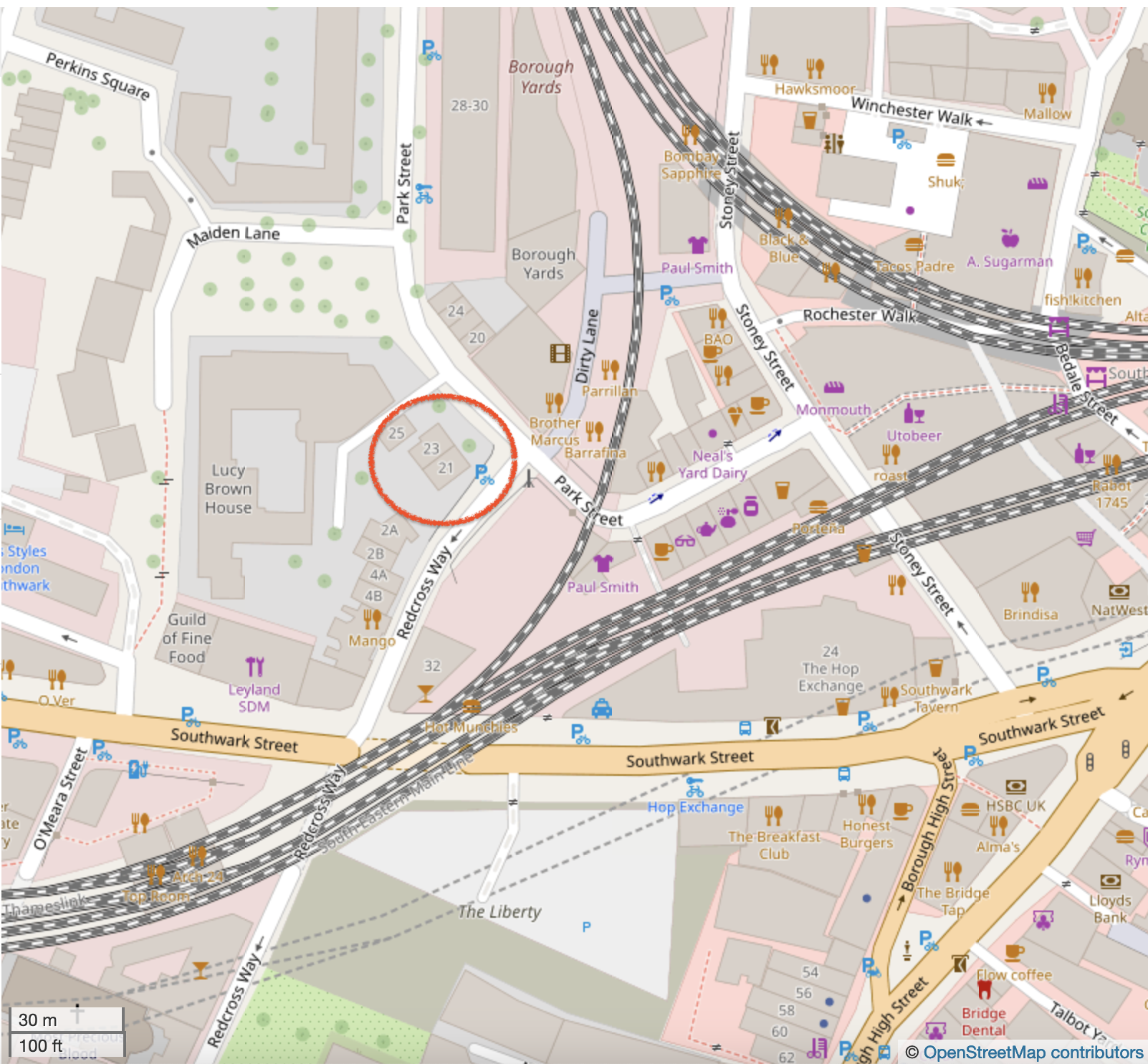
The building, and its cast iron railing, is listed Grade II, number 1385752. When I searched for the list entry in the Historic England register, I found, to my surprise, that the bollards in my picture have their own special listing, number 1385753 “

5 cast iron Canon posts 1 inscribed “CLINK 1812”

https://historicengland.org.uk/listing/the-list/list-entry/1385753?section=official-list-entry

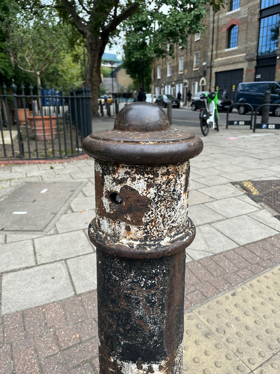
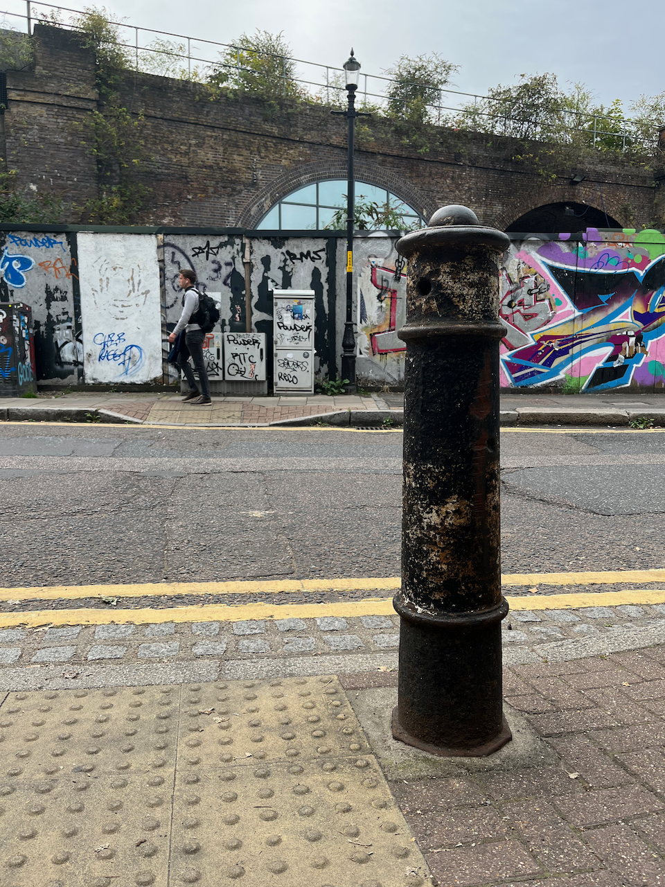
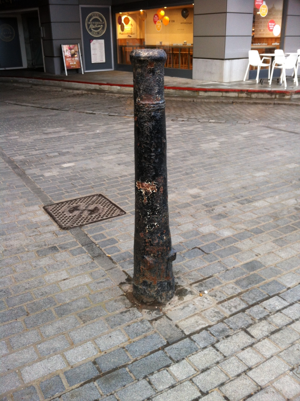
So I had to go back and have a closer look at them. Why were they listed? The list entry does not say. There are some bollards in London which are former cannon. It’s always a delight to discover them. They can be positively identified because you can see the indentation or hole near the base, which is where the gunpowder used to be poured in. Also they sometimes have protrusions about two-thirds down where they used to pivot on their gun-carriage. Sometimes the base is flattened on one side. Here are some examples of cannon (click the image to enlarge and see location):

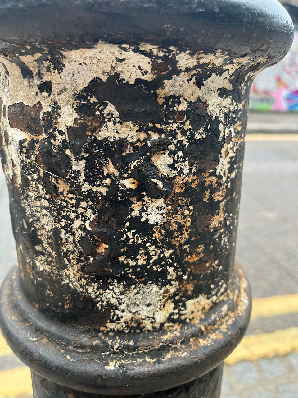
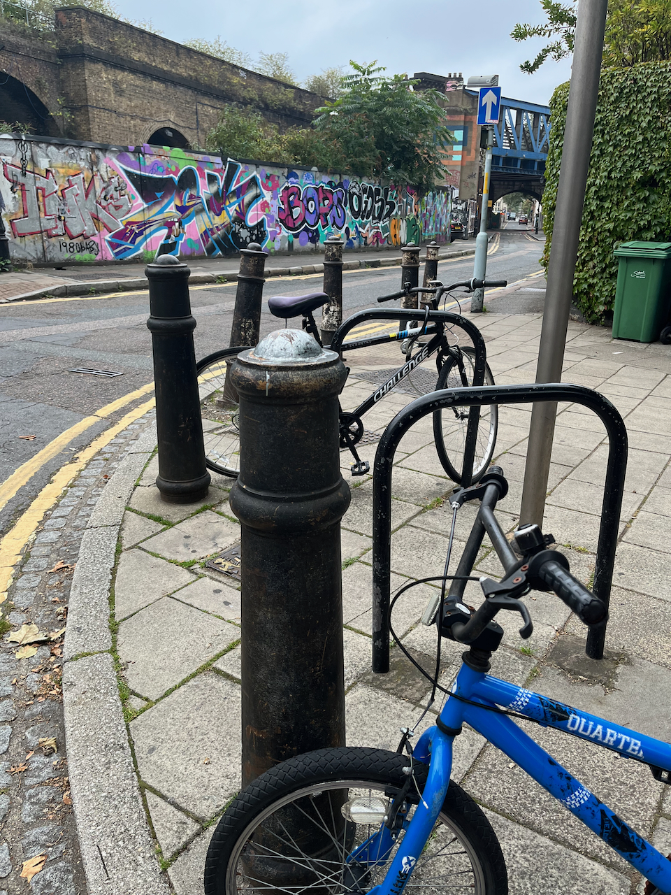
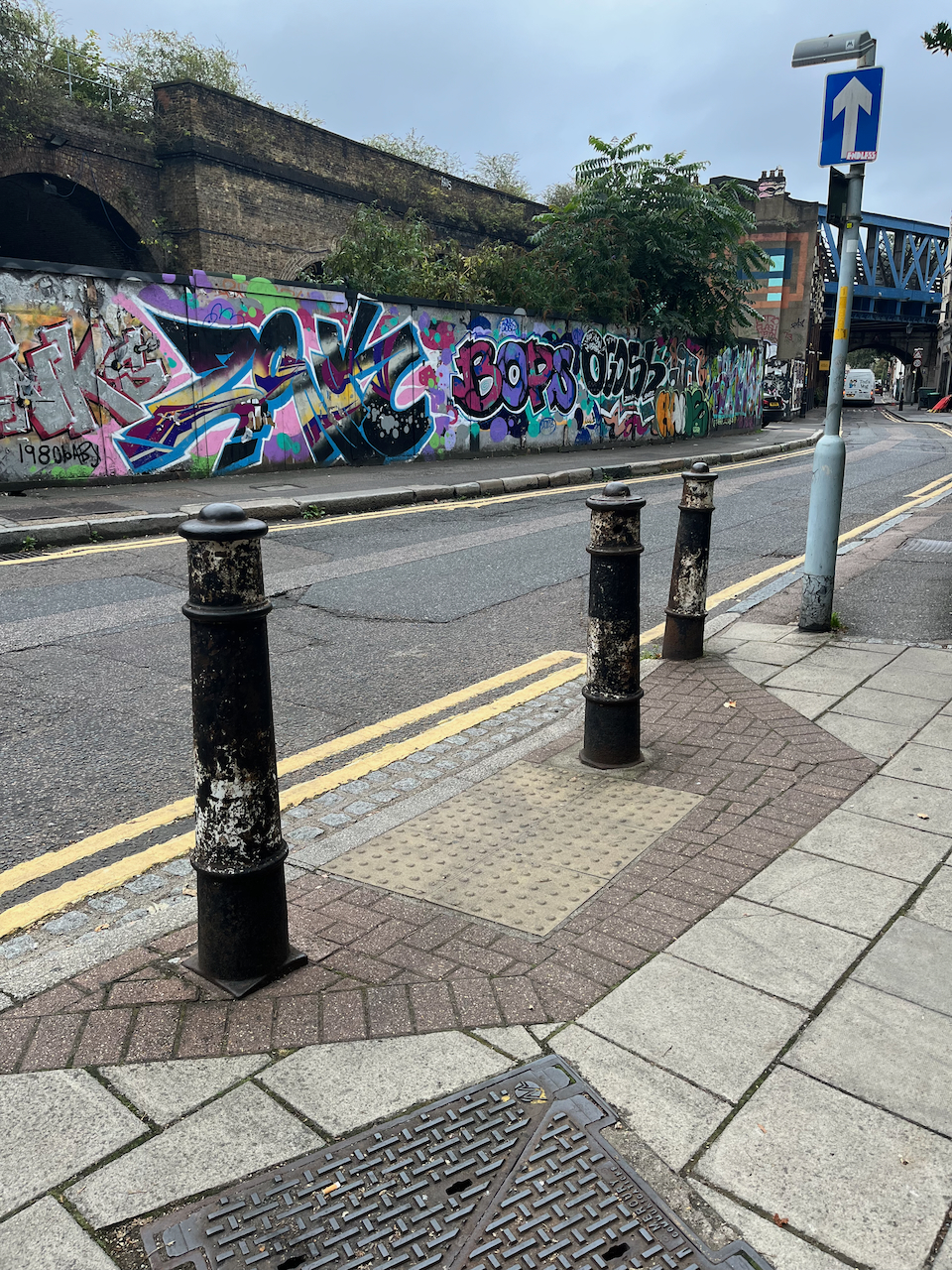
I was unable to find on these 21 Park Street bollards any characteristic which confirmed they might have been cannon. The listing says they are “canon posts” – “canon” spelt like that – not “cannon”. The words “CLINK 1812” were still just about visible on the bollard which is on the right in my drawing. Here are some photos of the posts outside 21 Park Street. Click to enlarge and see captions. Do you think they might be real cannon, or perhaps the word “canon” simply describes a design of post.
“Clink” was the name of the area, from about 1127. It was called the “Liberty of Clink”. The designation “Liberty” implied that it was a civic area under the jurisdiction of the local manor, rather than the King, or the City of London. Famously, certain activities, including theatres, which were forbidden in the City of London were permitted here. The Liberty of Clink was abolished in 1889 and amalgamated into the Southwark in the County of London.

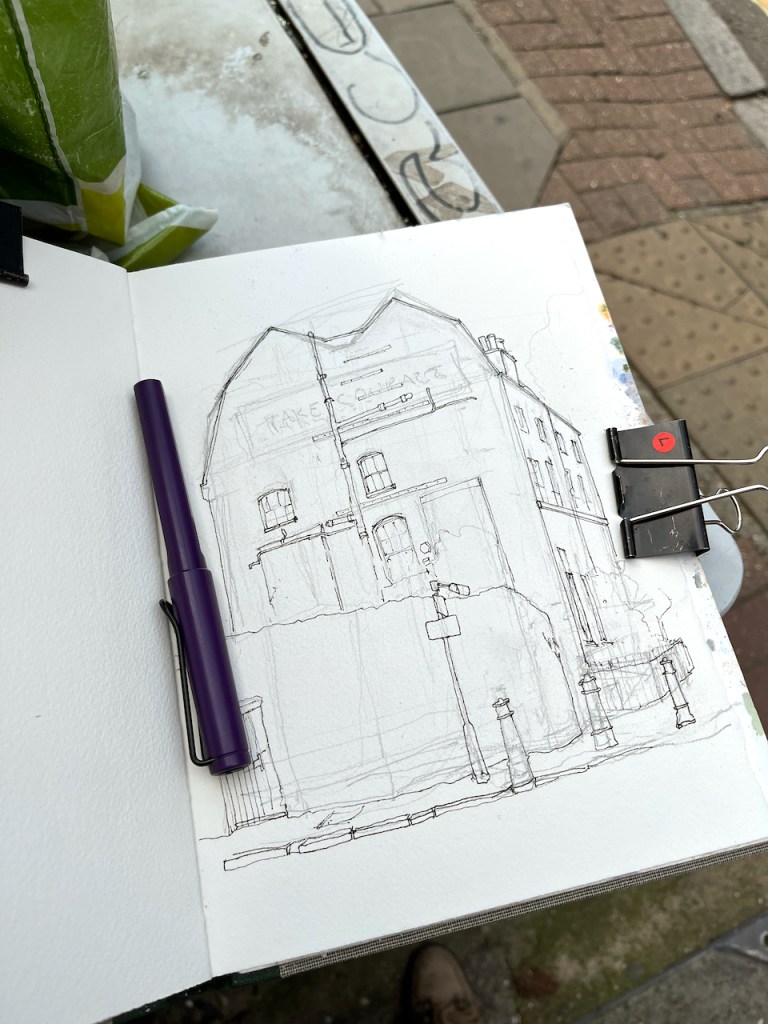
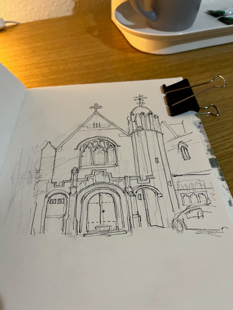
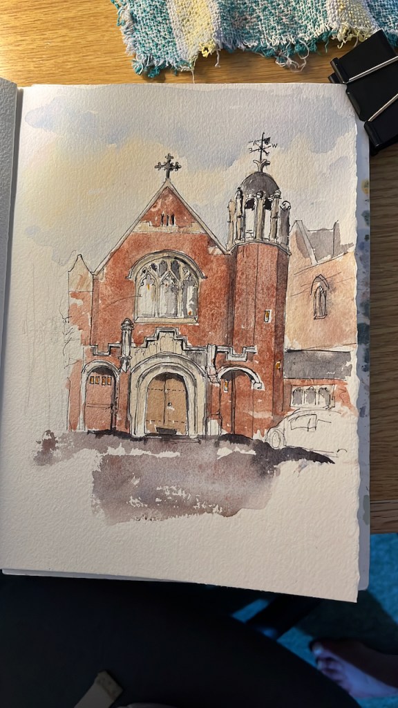
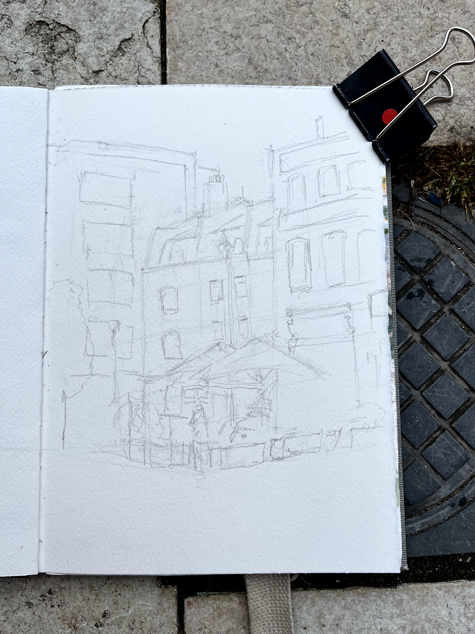
Here are some photos of work in progress on the drawing:
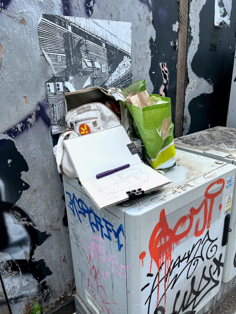

Drawing size 10″ x 8″ on Arches papers 300gsm NOT watercolour paper, in a sketchbook made by Wyvern Bindery.

Watercolours by Daniel Smith:

  • ultramarine blue
  • fired gold ochre
  • green gold
  • burnt umber
  • yellow line is naples yellow
  • All blacks and greys are Ultramarine Blue plus Burnt Umber

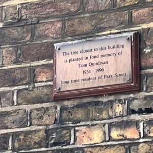
A notice on 21 Park Street reads:

The tree closest to this building
 is planted in fond memory of 
Tom Quinlivan 1934-1996 
long time resident of Park Street.
The Jamaica Wine House, EC3

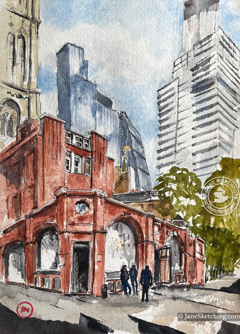
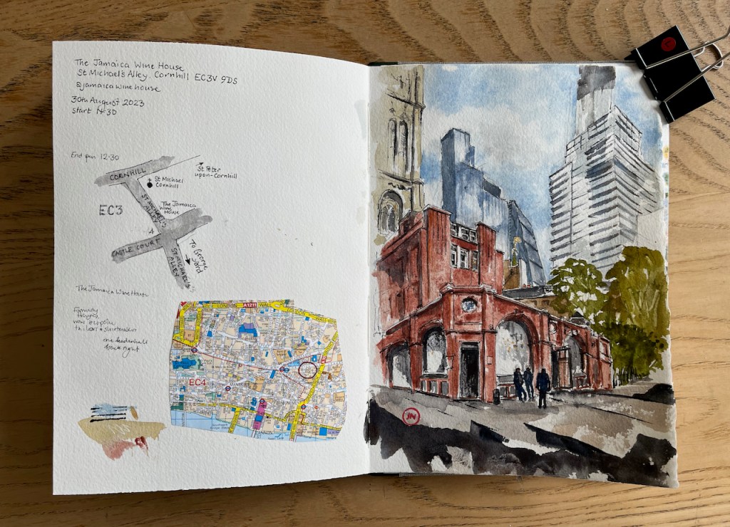
I walked through the City lanes towards London Bridge and passed by the Jamaica Wine House embedded, as it seemed, in a canyon amongst towers.

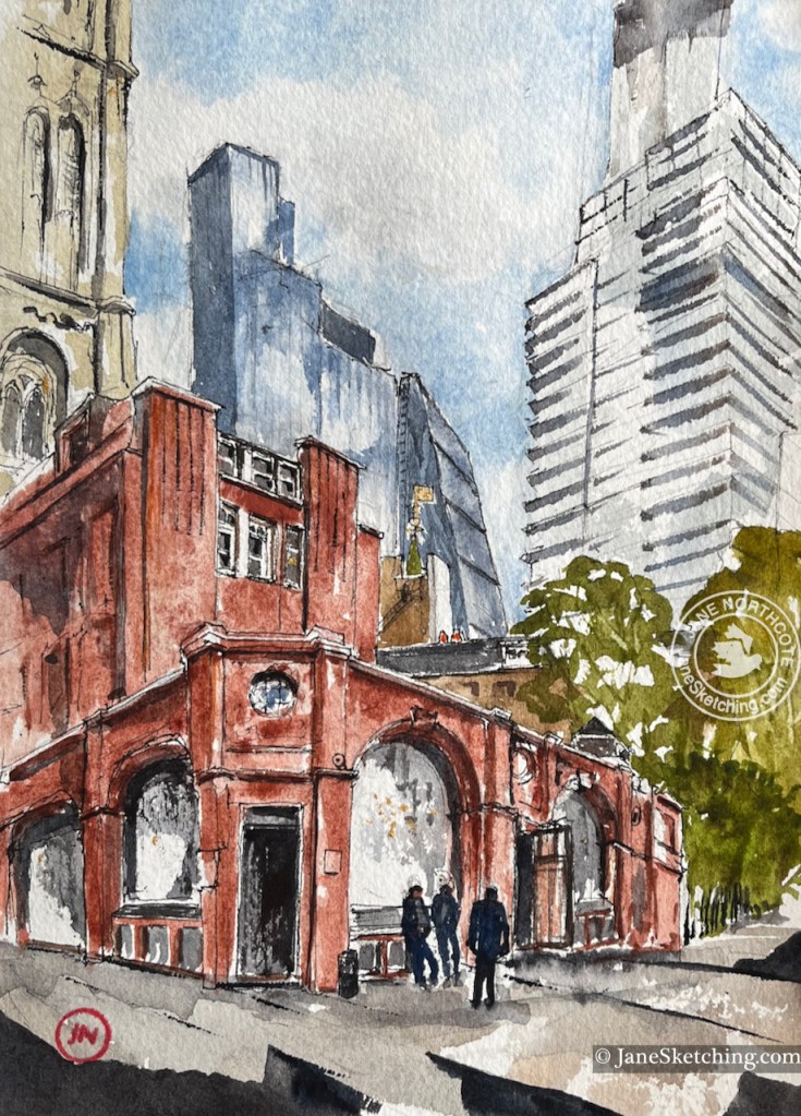
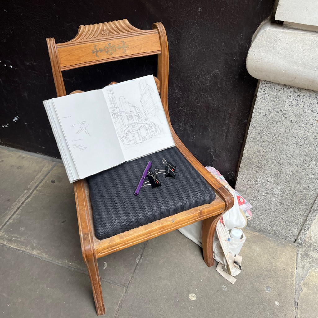
Jamaica Wine House, 12:30pm 30th August 2023 in Sketchbook 13.

The Cheesegrater and 22 Bishopsgate are the office blocks in the left background and One Leadenhall is under construction on the right.

This is a very old part of the City. Although some buildings have changed, the road layout still retains something of the feeling of Dickensian London. There has been a pub or coffee house on the site of the Jamaica Wine House since 1652. The current building dates from 1868 according to the Historic England List Entry (number 1079156).

Off the picture to the left is MacAngusWainright bespoke tailors and shirtmakers, at number 4 St Michael’s Alley. This shop used to be John Haynes&Co, the jewellers.

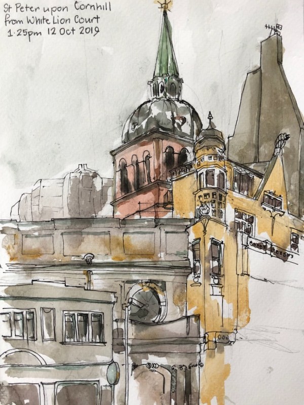
St Michael Cornhill is visible to the left in the background, and you can just see the weathervane on St Peter upon Cornhill in the centre of the picture.

My drawing of St Peter upon Cornhill is in this post:

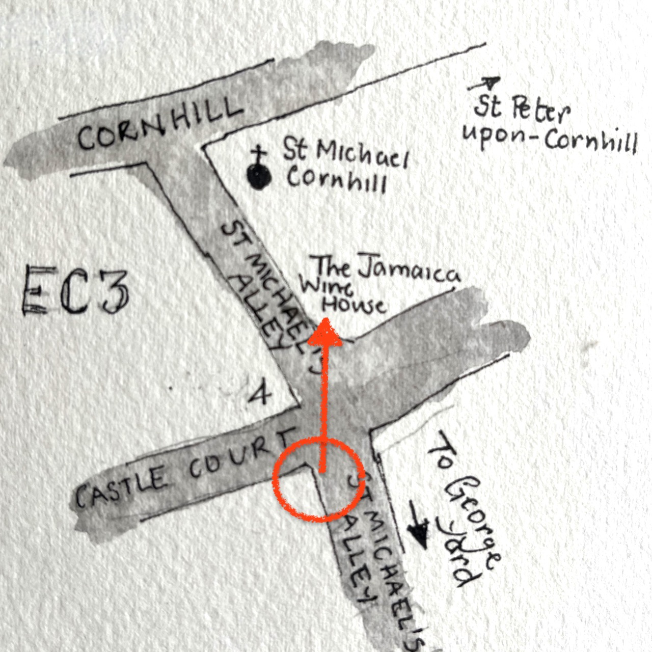
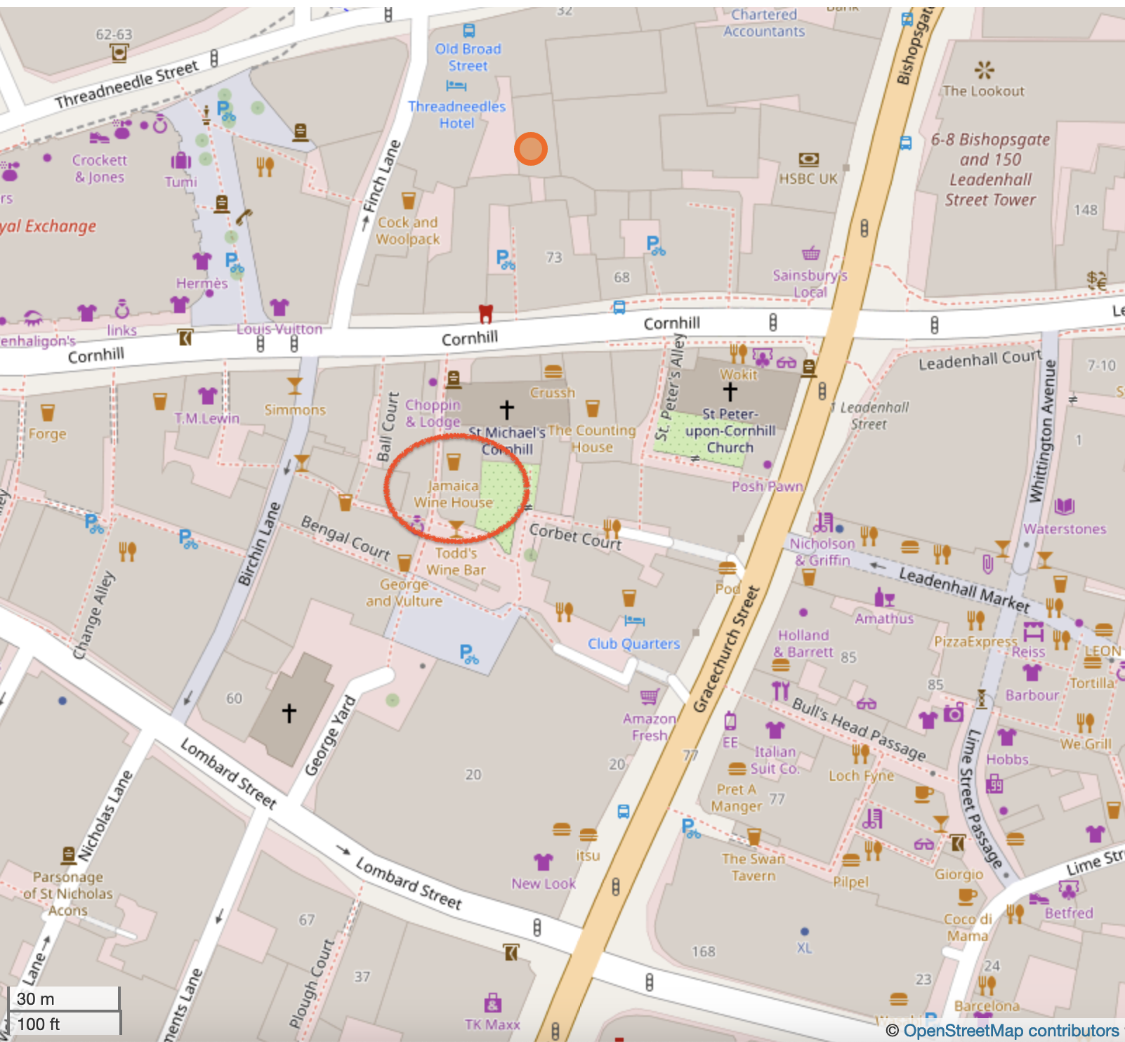
Location of the Jamaica Wine House in the alleys between Lombard Street and Cornhill. (Map (c) OpenStreetMap contributors)

The picture took an hour on location and I finished it at my desk.

The colours in the picture are:

  • Fired Gold Ochre – my go-to colour for brick and sandstone
  • Ultramarine blue, Lavender, and Cerulean Blue for the sky
  • Burnt Umber in the sky
  • All greys and blacks are Ultramarine Blue with Burnt Umber
  • There’s a bit of Iridescent Gold on the weathervane of St Peter upon Cornhill
  • The trees in St Michael’s garden are Serpentine Genuine with some Permanent Yellow Medium.
  • St Michael on Cornhill is Buff Titanium with some Burnt Umber and Ultramarine Blue.

Done on Arches 300gsm NOT watercolour paper in a sketchbook by Wyvern Bindery, Hoxton. Thank you to McAngusWainwright, city tailor, for the kind loan of the chair.

Urban sketching, Shetland and the journey south 2023

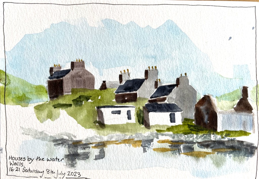
Here is a postcard which I made at the end of a long hot walk. It shows the houses in Walls, on Shetland West Side.

Houses by the water, Walls, Shetland. Postcard sketch A5, 8th July 2023

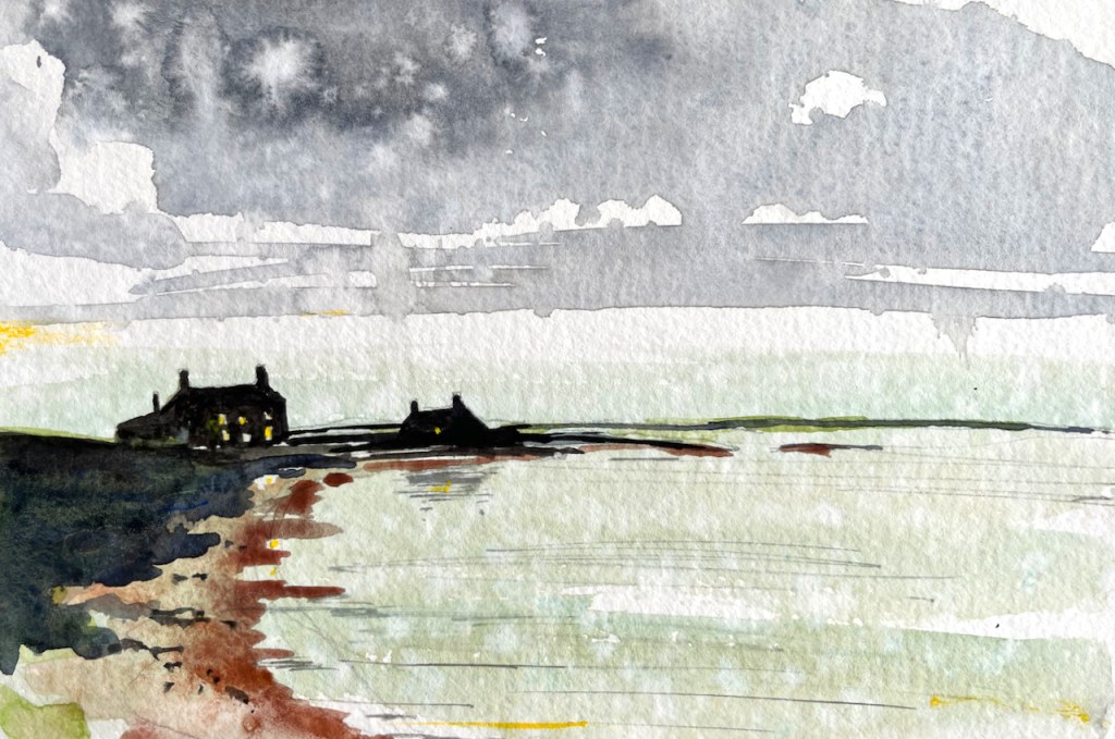
Here is Burrastow House and Burrastow Cottage, an evening view. I sketched this on top of a sky view I’d sketched earlier, but which had been spotted by rain, as you see.

Burrastow House and cottage, evening view. A5 postcard.

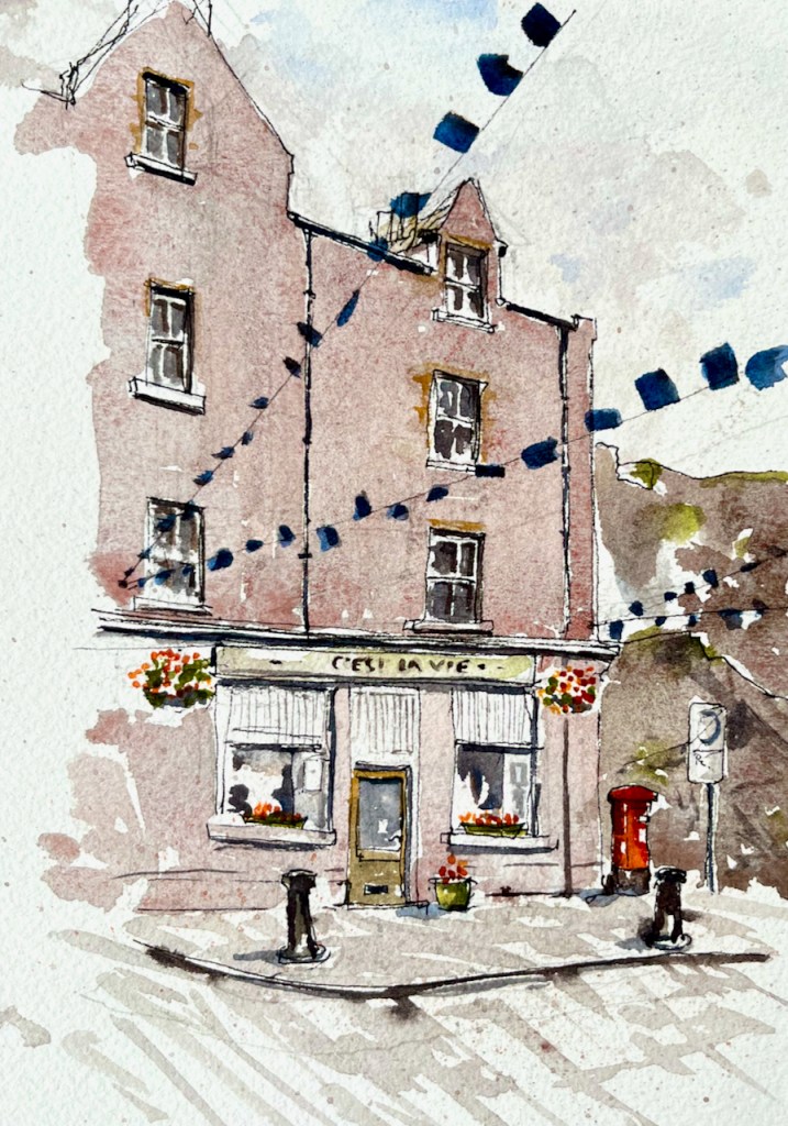
This is a restaurant in Lerwick: “C’est la vie”.

“C’est la vie” French restaurant, Lerwick, postcard sketch A5, August 3rd 2023

The flags are to welcome the “Tall Ships” which came to Lerwick earlier in the week. The restaurant was closed, I was waiting to see if it opened. Then the rain started. Then the restaurant opened and I finished the sketch inside. Then I walked to the Ferry Terminal.

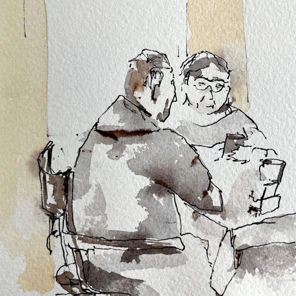
On the ferry, I made quick sketch of people at breakfast.

On board MV Hrossey, approaching Aberdeen. Breakfasters in the lounge. August 4th 2023. Vintage paper company sketchbook, A5

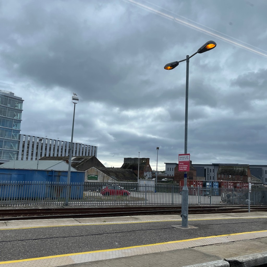
Here is my final sketch of the expedition. On the train at Aberdeen, I looked out of the window.


I have a sketchbook full of images. Here’s a quick flip through showing random glimpses of the visit: (19 second silent video)

London Liverpool Street, EC2

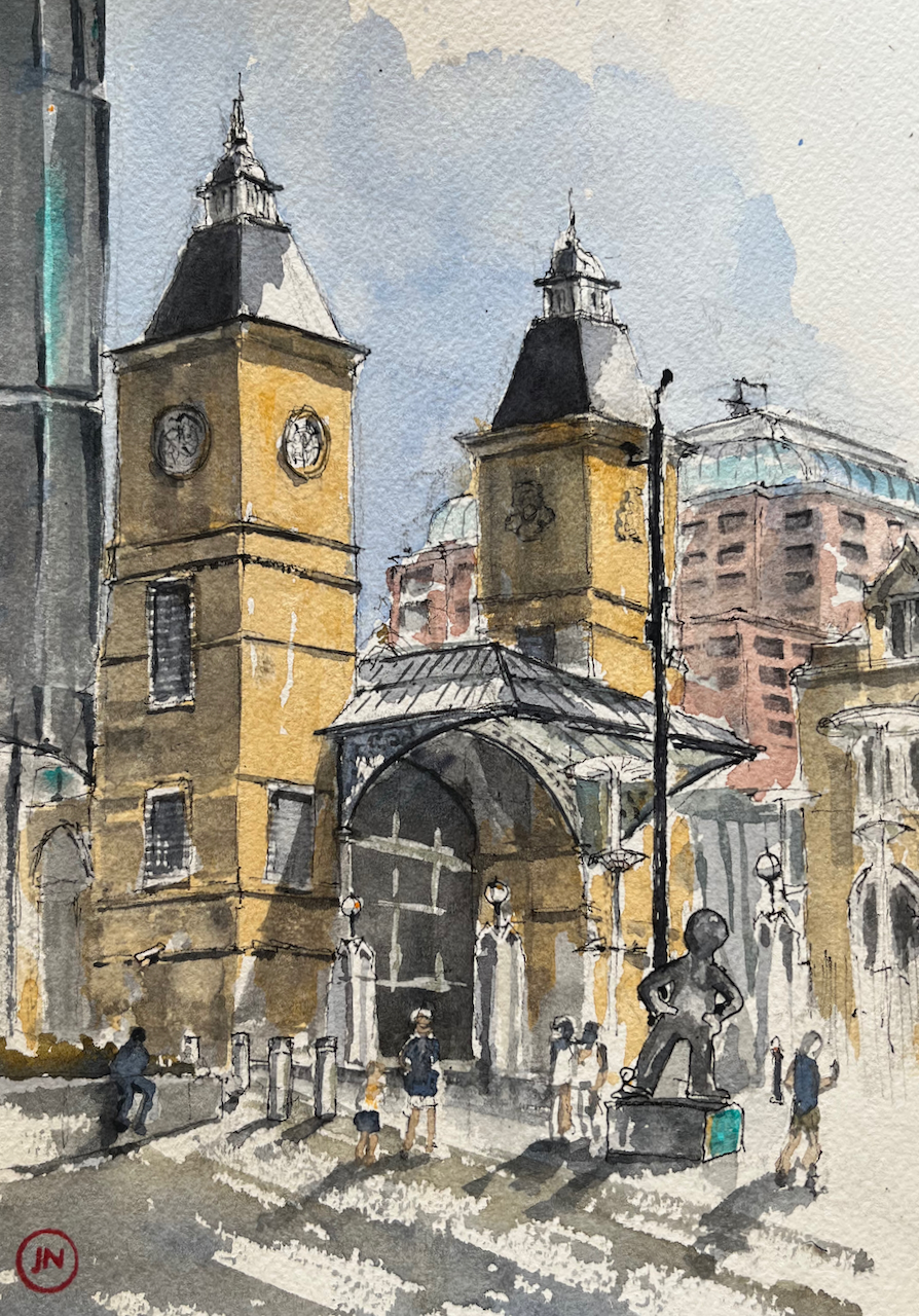
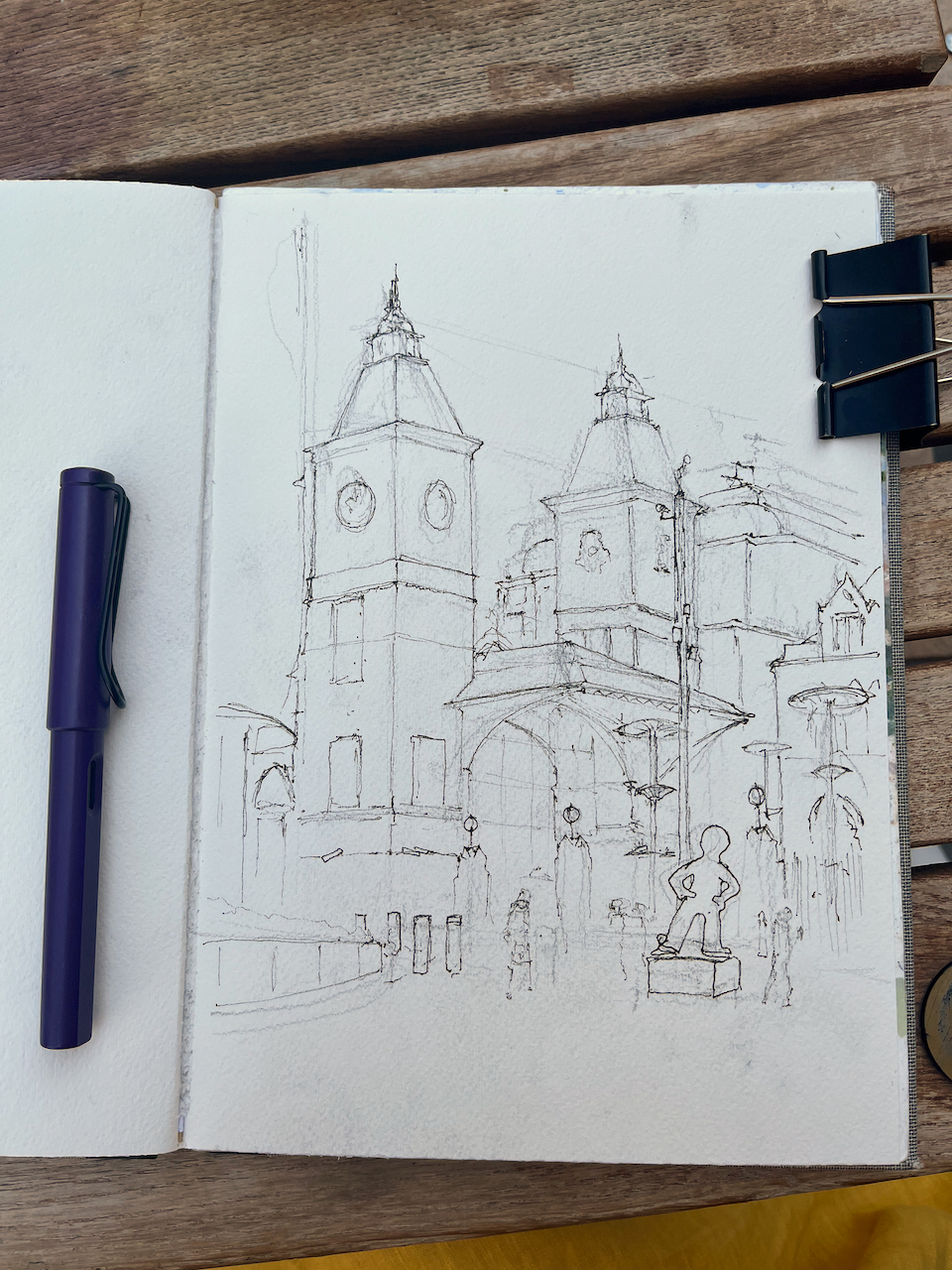
Here is Liverpool Street Station, main entrance, sketched today from outside the “Railway Tavern”.

Liverpool Street Station, 25th June 2023, 1pm. 8″ x 10″ in sketchbook 13.

The humanoid figure on the plinth is Morph, part of a temporary art trail.

The area in front of the main entrance is like an art installation in itself, a collector’s assembly of street furniture: two different types of bollards, long ribbons of fencing, several species of street lamps, and that enormous CCTV stand which is just behind Morph. It’s surprising that people can find their way into the station in amongst the obstacles. I haven’t drawn them all.

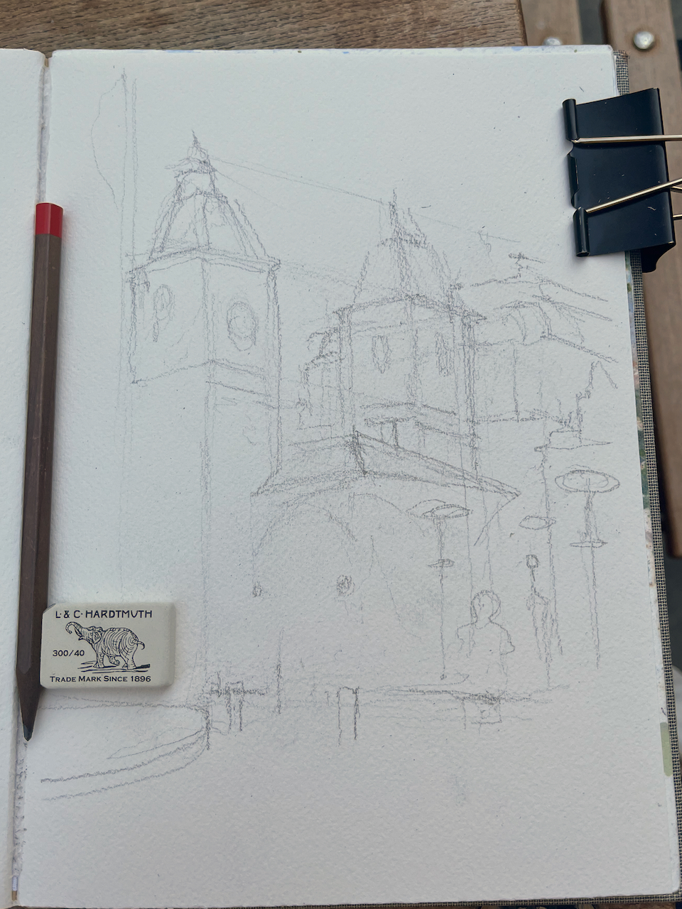
Here’s work in progress on the sketch:

This section of Liverpool Street Station was built in 1875 as the new London terminus of the Great Eastern Railway. The building on the right of my drawing is the edge of the former Great Eastern Hotel (1884), now the Andaz London Liverpool Street. The pink building in the background is an office block on Bishopsgate.
I’ve sketched in this area before. This post contains more information about the history of Liverpool Street:

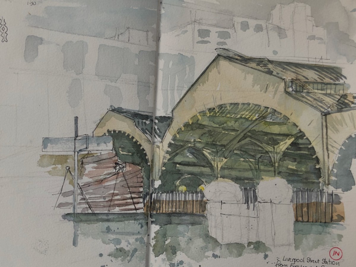
Liverpool Street Station from Exchange Square

Here are the magnificent 19th Century arches of Liverpool Street Station, seen from Exchange Square. Liverpool Street Station opened in 18751 Now the question is: what curve is that arch? I thought it might be a CYCLOID. A cycloid is the shape made by a dot on the edge of a rolling wheel. I made…

Keep reading

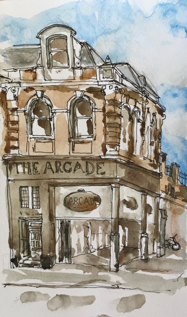
In 2019 I sketched the entrance to “The Arcade” which is shown on my sketch map. See this post for more about this sketch of The Arcade.

Compton, St John’s Square, London EC1

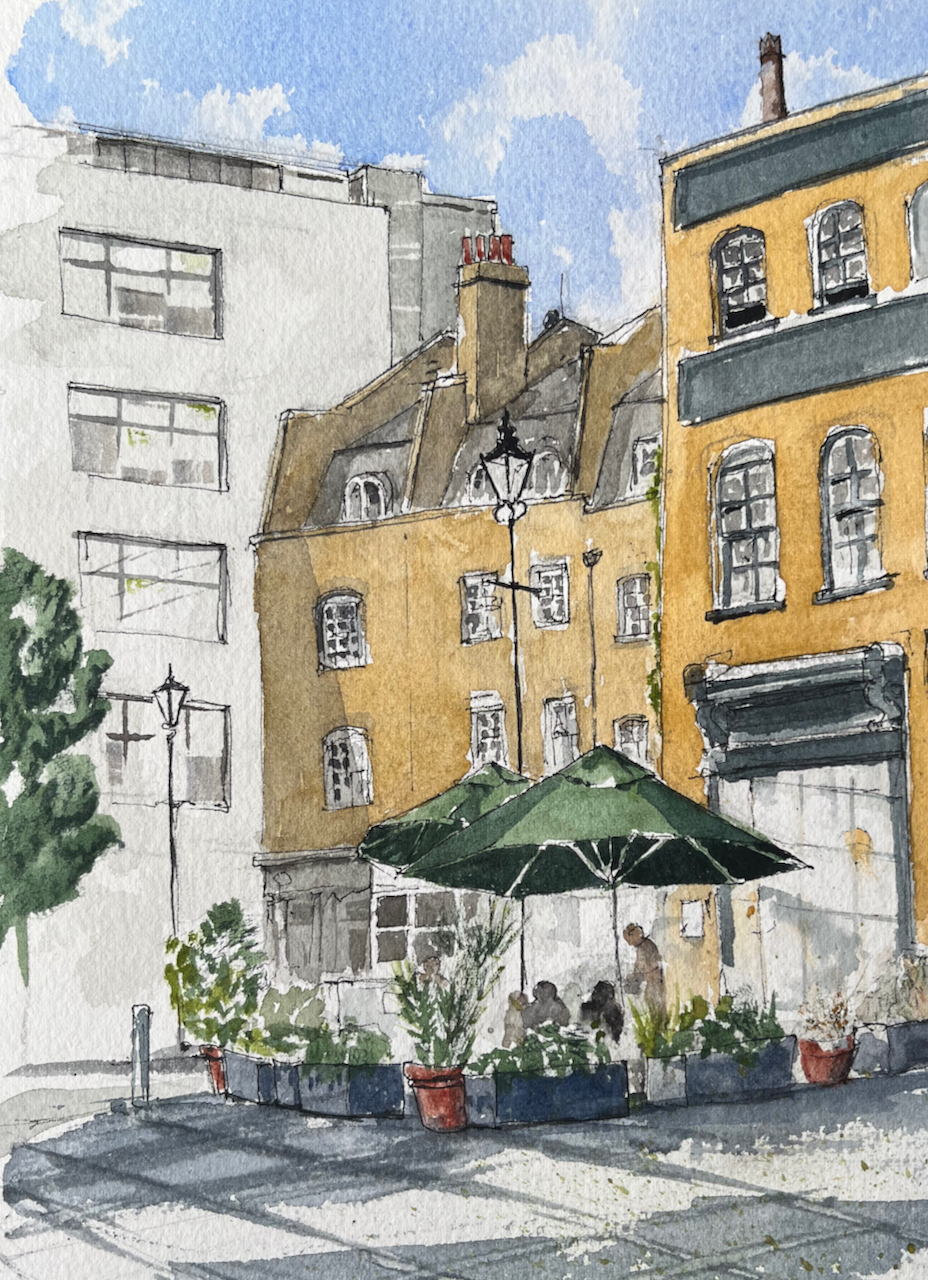
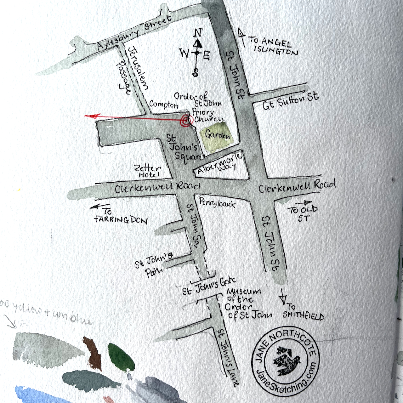
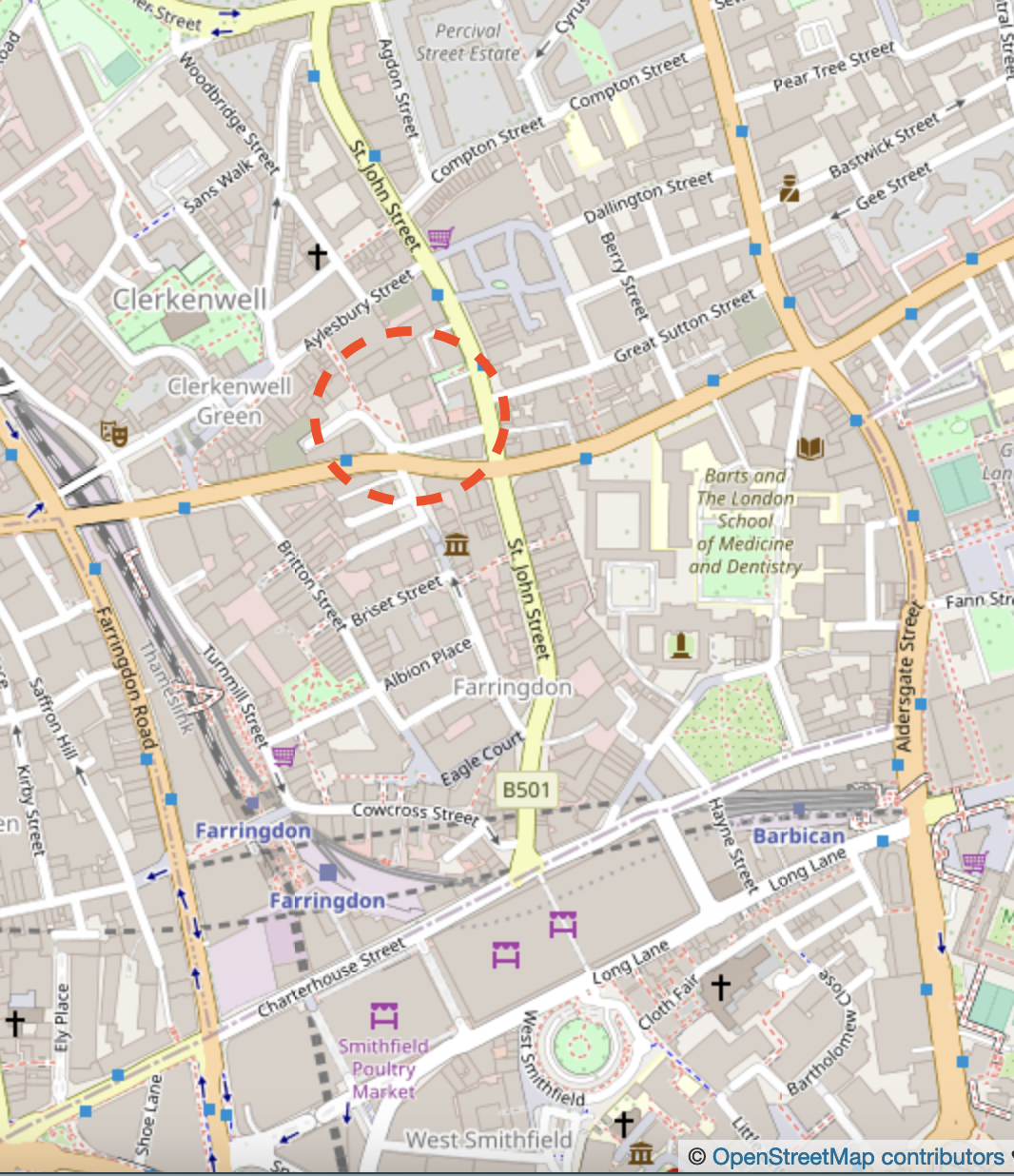
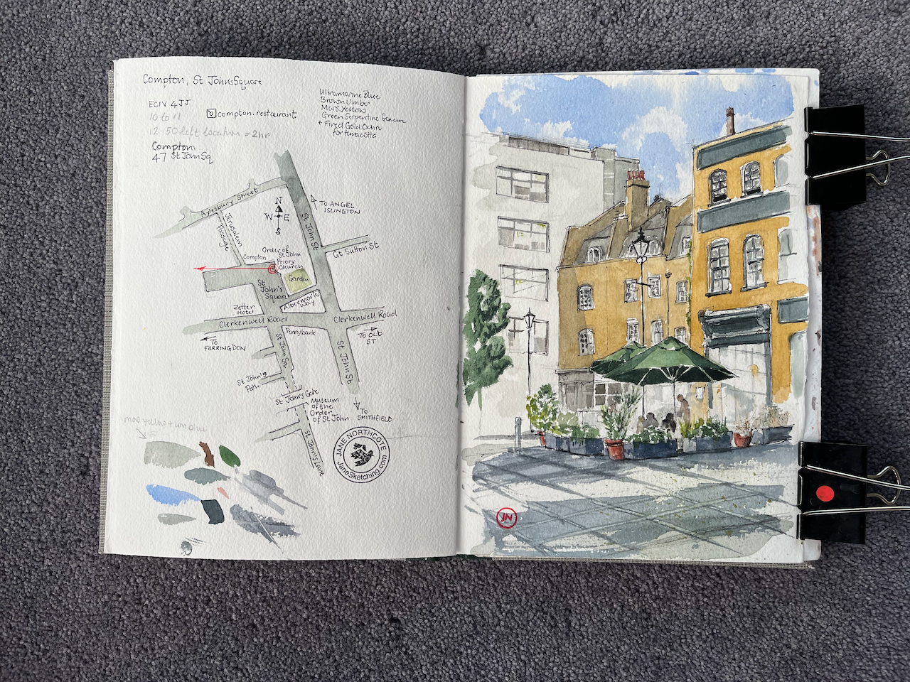
Clerkenwell has many interesting corners. Here is a view across St John’s Square. I sketched it earlier today, sitting on the step of the Priory Church of the Order of St John. The restaurant is called “Compton”.

View across St John’s Square, Compton restaurant, 21 June 2023, in sketchbook 13

Here’s a map:

Thank you to the kind person from the Priory Church. They emerged from the door behind me. There I was, low down on the step, at the pen-and-ink stage, with my materials laid out neatly on the stone. They obviously had not expected anyone to be sitting on the step. I had not expected anyone to come out of the dark door. It had looked as if it had been closed shut for millennia. After a moment of surprise, politeness prevailed and we both said hello. Thereafter, I grouped my materials into a compact heap, and they came and went, tolerating me amiably, and skirting around me to operate the card key system.

This picture has just four main colours: Ultramarine blue, Brown umber, Mars yellow, and Green Serpentine Genuine. The only other colour is Fired Gold Ochre for the terracotta: the chimneys and the flowerpots. All colours are Daniel Smith watercolours.

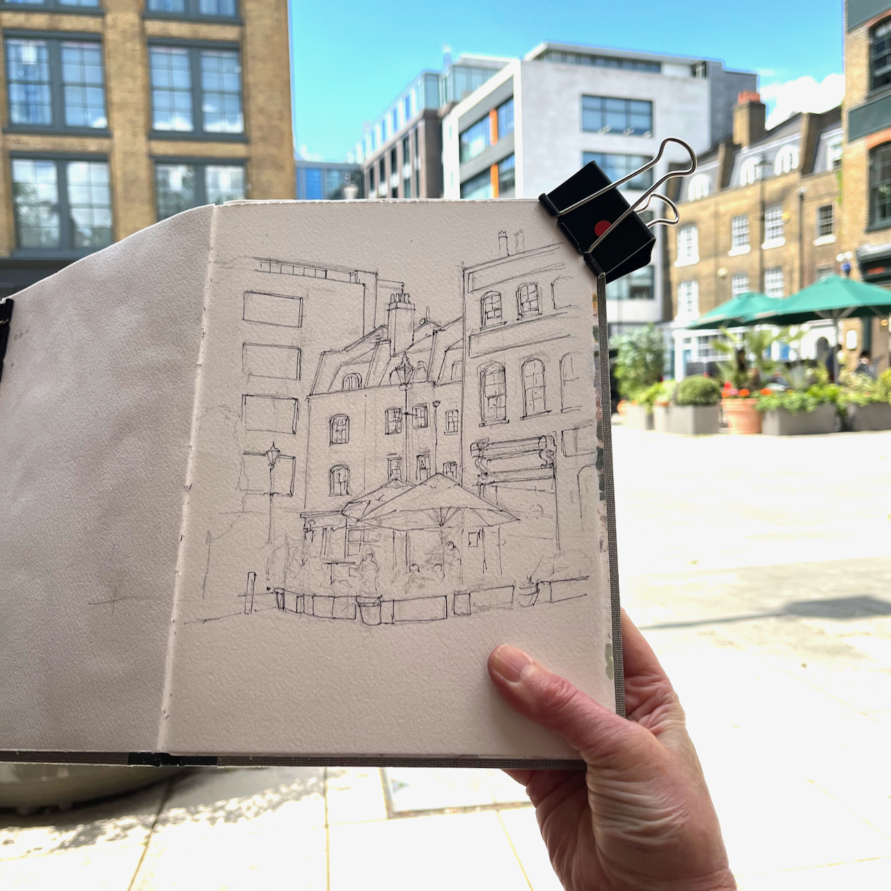
Here is work in progress:

Garden of the Museum of the Order of St John, Clerkenwell, London EC1

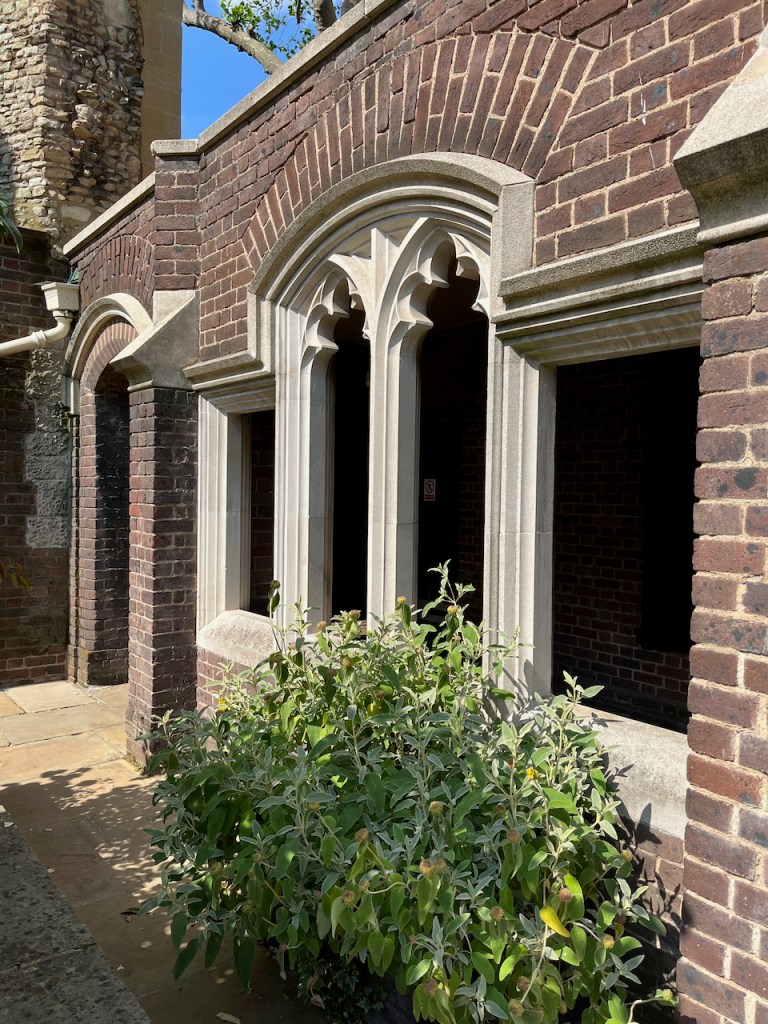
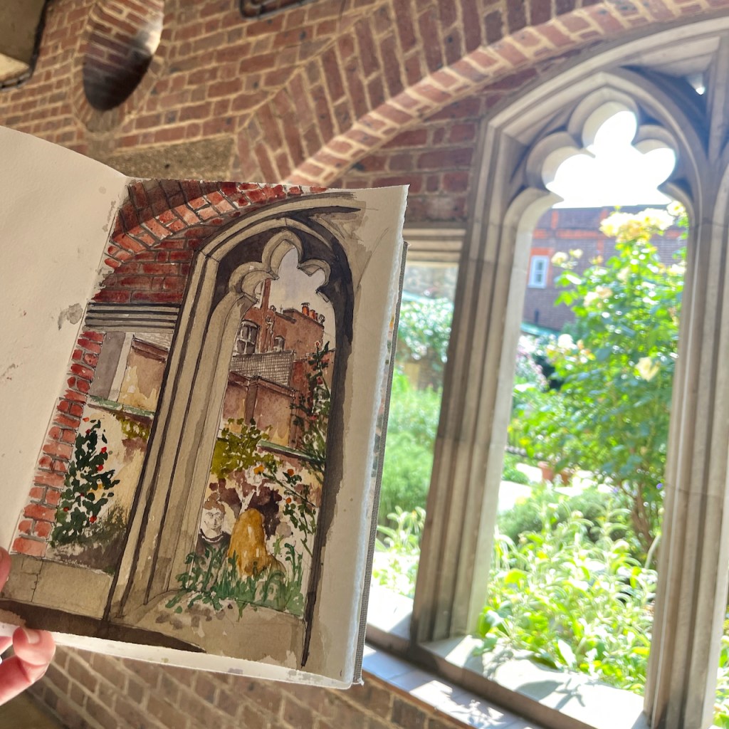
On a hot day, in need of healing, I re-discovered this herb garden. It is hidden away the other side of a gate off St John’s Square in Clerkenwell. The gate is open and you can walk right in. There are benches, and aromatic plants. At the back, there’s.a cloister.

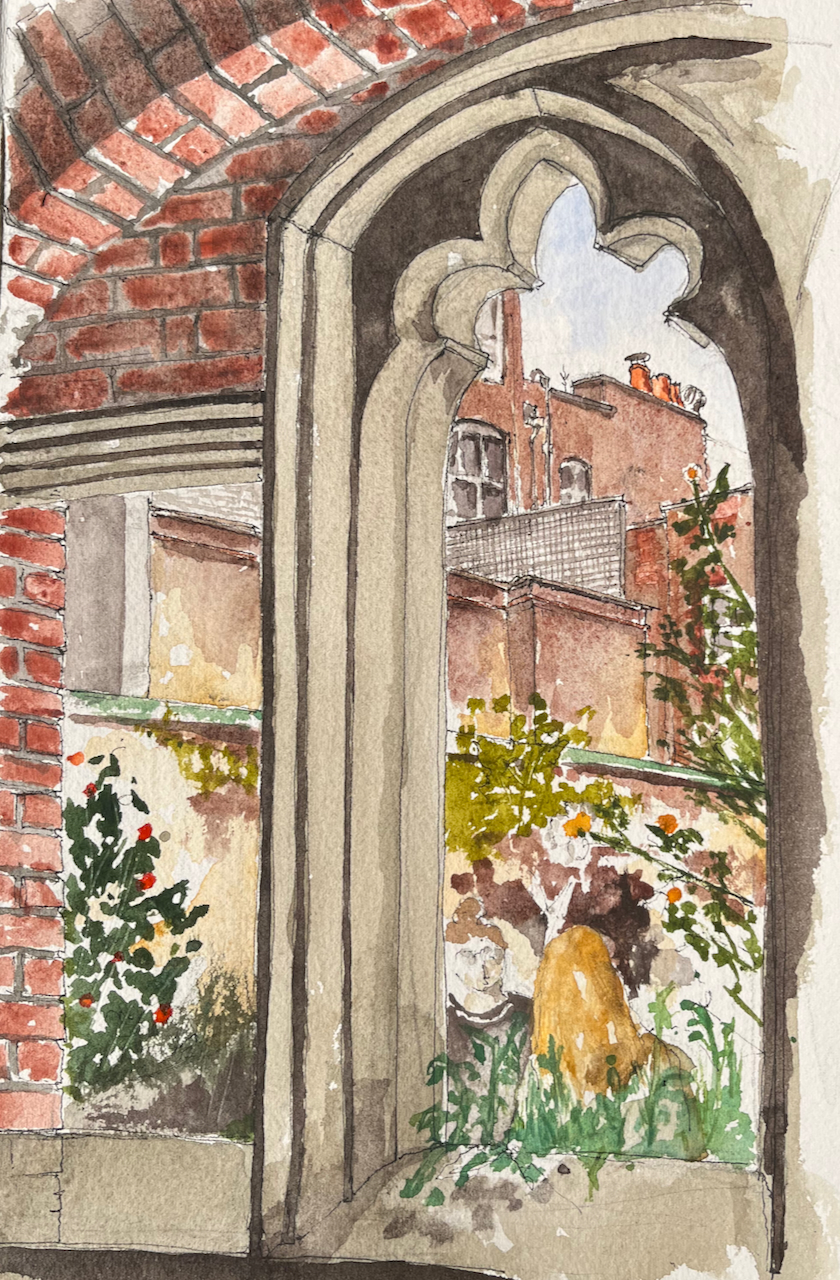
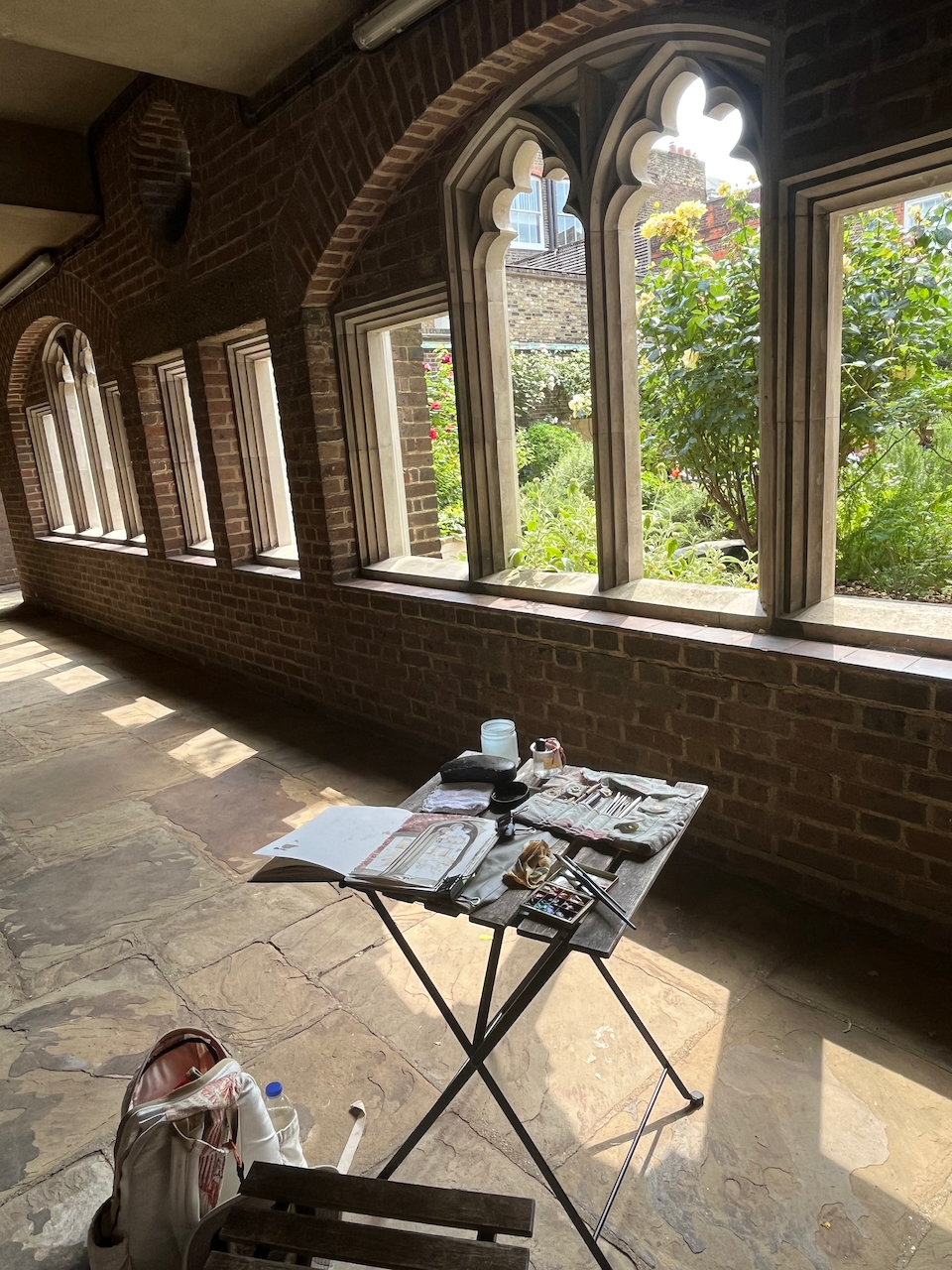
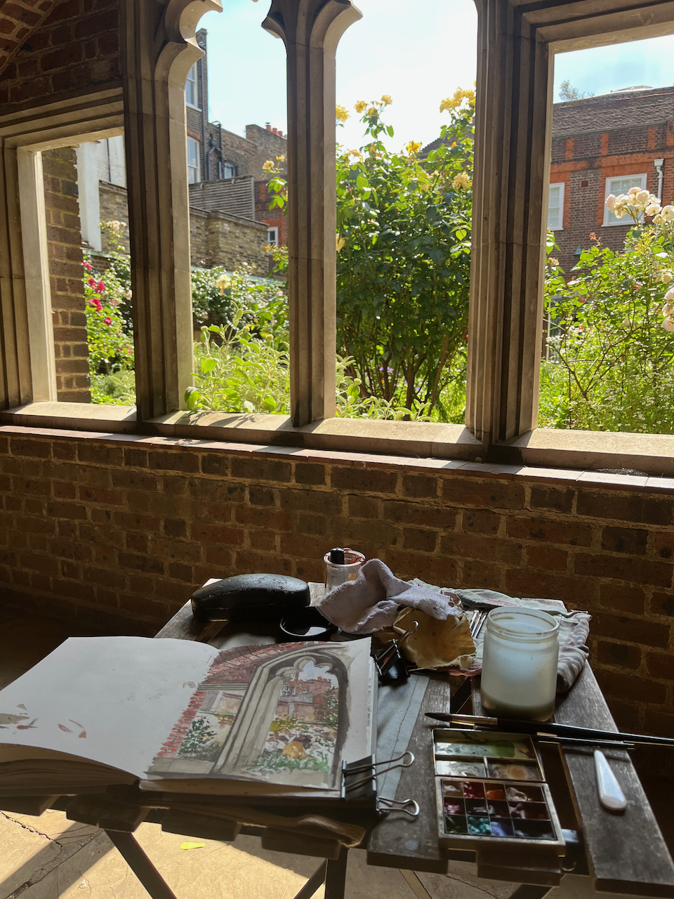
I went in the cloister, and found the ideal place to sketch: cool, still, and quiet, with a view from those windows.

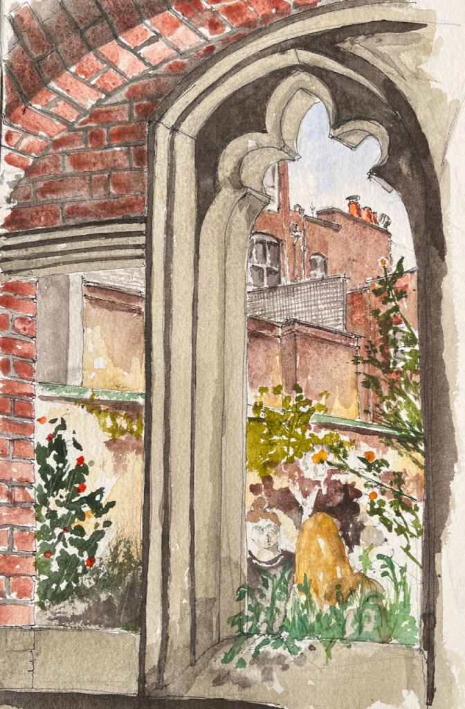
Here’s the view:

From the Cloister, looking into the garden, 15th June 2023, 10″ x 8″ in Sketchbook 13

The Order of St John has a long history.

By 1080, a hospital had been established in Jerusalem by a group of monks under the guidance of Brother Gerard. Its purpose was to care for the many pilgrims who had become ill on their travels to the Holy Land. The men and women who worked there were members of a new religious order, officially recognised by the Church in 1113. Known as the Hospitallers, they cared for anyone, without distinction of race or faith.

website of the Museum of the Order of St John [https://museumstjohn.org.uk/our-story/history-of-the-order/]

These days, this is the organisation behind St John Ambulance.

The garden is wonderful. A place of solace. People from the offices around go there to eat their lunches and also to discuss office politics I realised. But also to read books, dream, doze, and of course, to sketch. There is a book stand by the gate as you go in, with secondhand books you can borrow or buy.

I’ve sketched in this garden a few years ago, from a slightly different viewpoint:

My sketch shows the backs of houses on Albemarle Way. This street and others nearby feature in the novel “Troubled Blood” by Robert Galbraith.

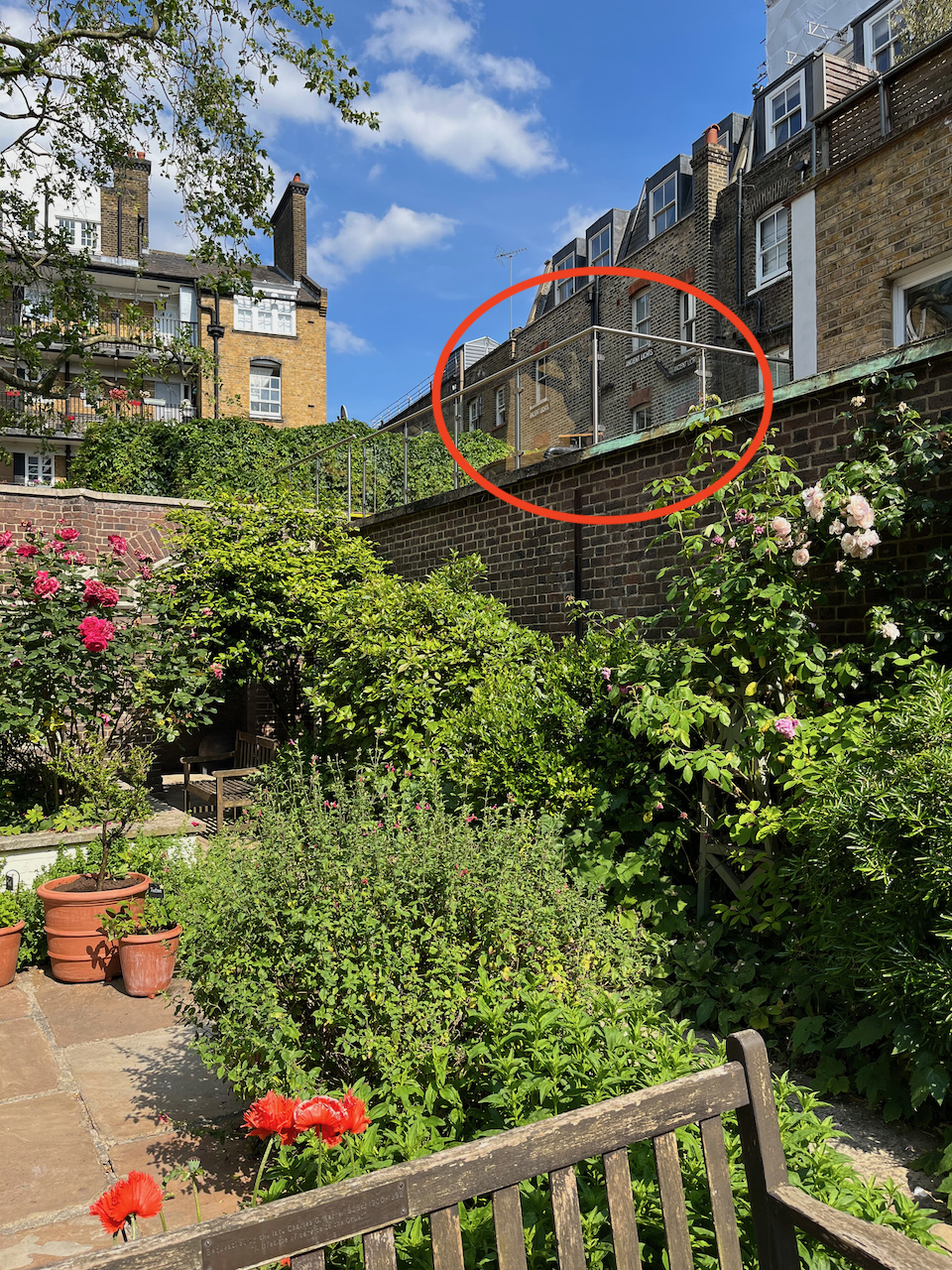
I looked back at the houses as I walked through the garden on my way out. I saw that one of them claims “Ancient Lights”. That’s asserting the right to light, and was a way in law to prevent anyone constructing a tall building which obstructed your windows. It’s “ancient” because you had to have enjoyed the benefit of the light for 20 years or more before you could assert “Ancient Lights”. This has now been superseded by “modern planning laws” I read. But maybe we should put some “ancient lights” notices on the windows of our flat, just to be sure.

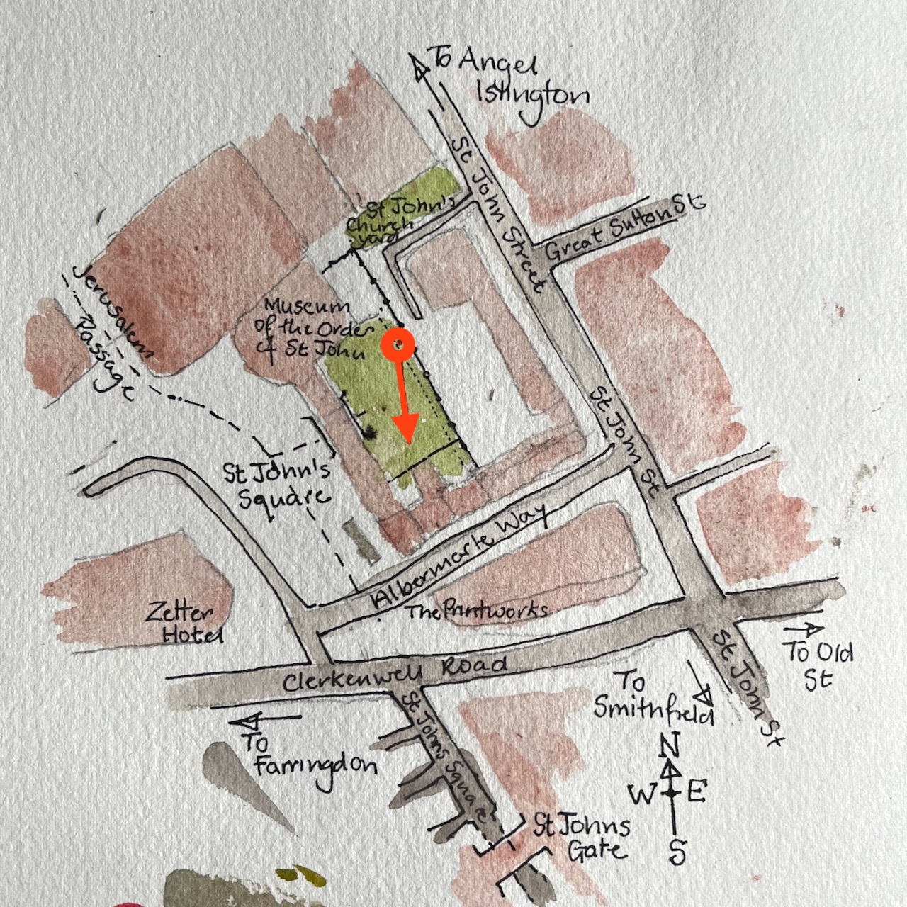
Here are maps:

The drawing took three hours. By the end of that time, my mood had transformed itself, and I walked out healthier than I walked in.

Oxford Nuclear Physics Building

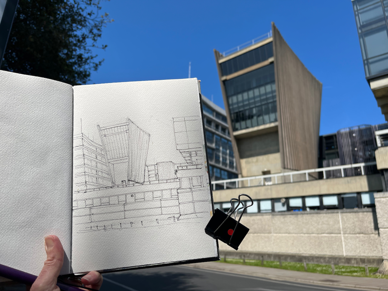
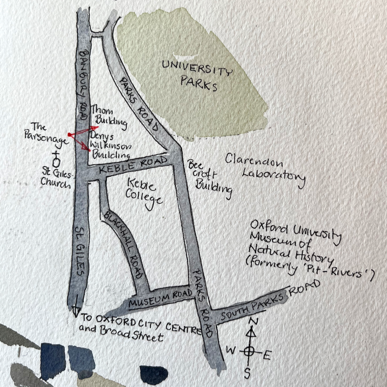
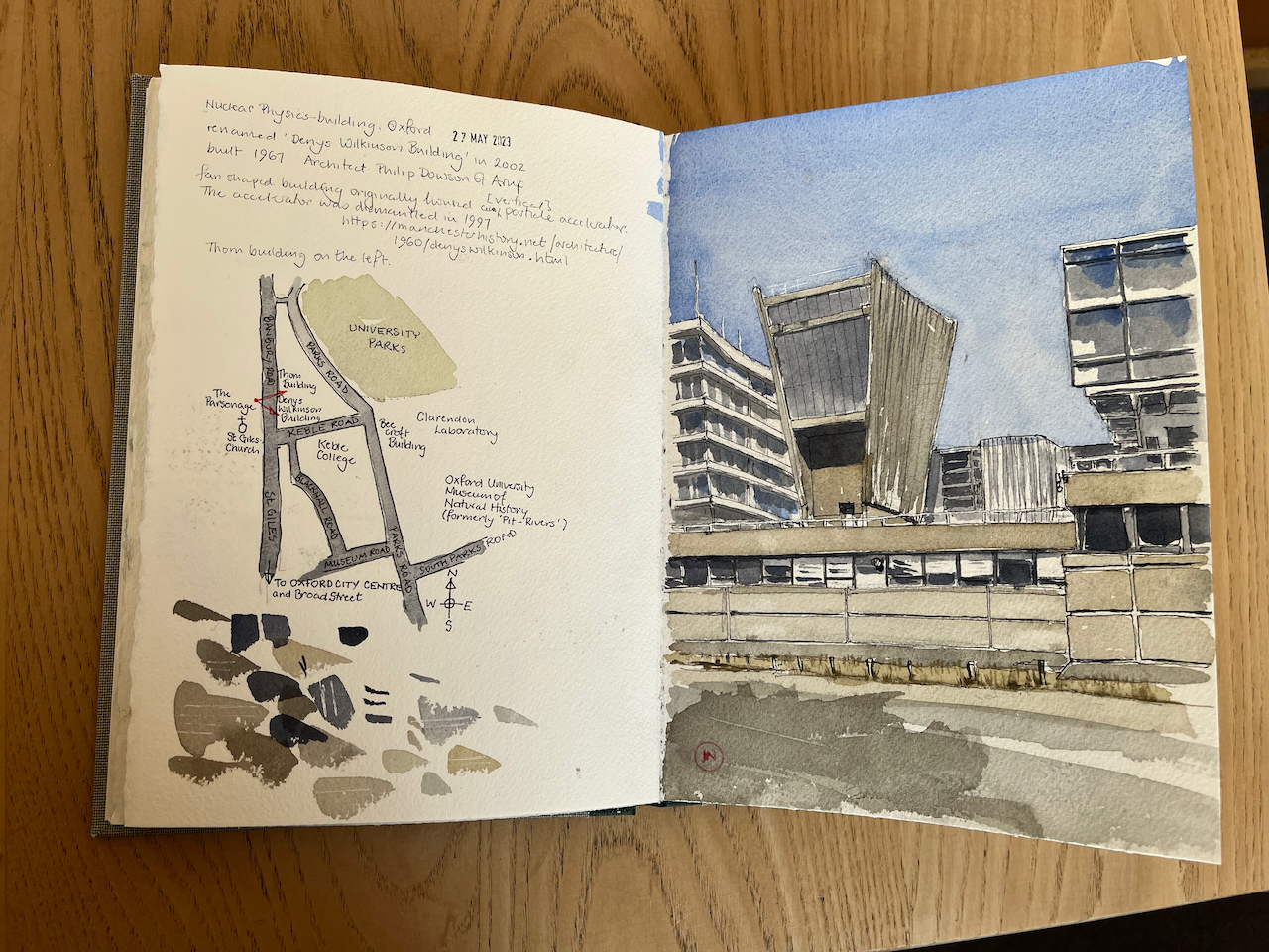
Here is the University of Oxford Nuclear Physics building, seen from the Banbury Road.

The Nuclear Physics building, now the Denys Wilkinson building, University of Oxford. Sketched 27 May 2023, in Sketchbook 13

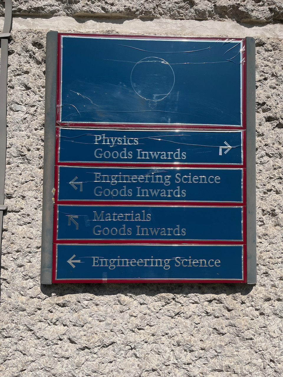
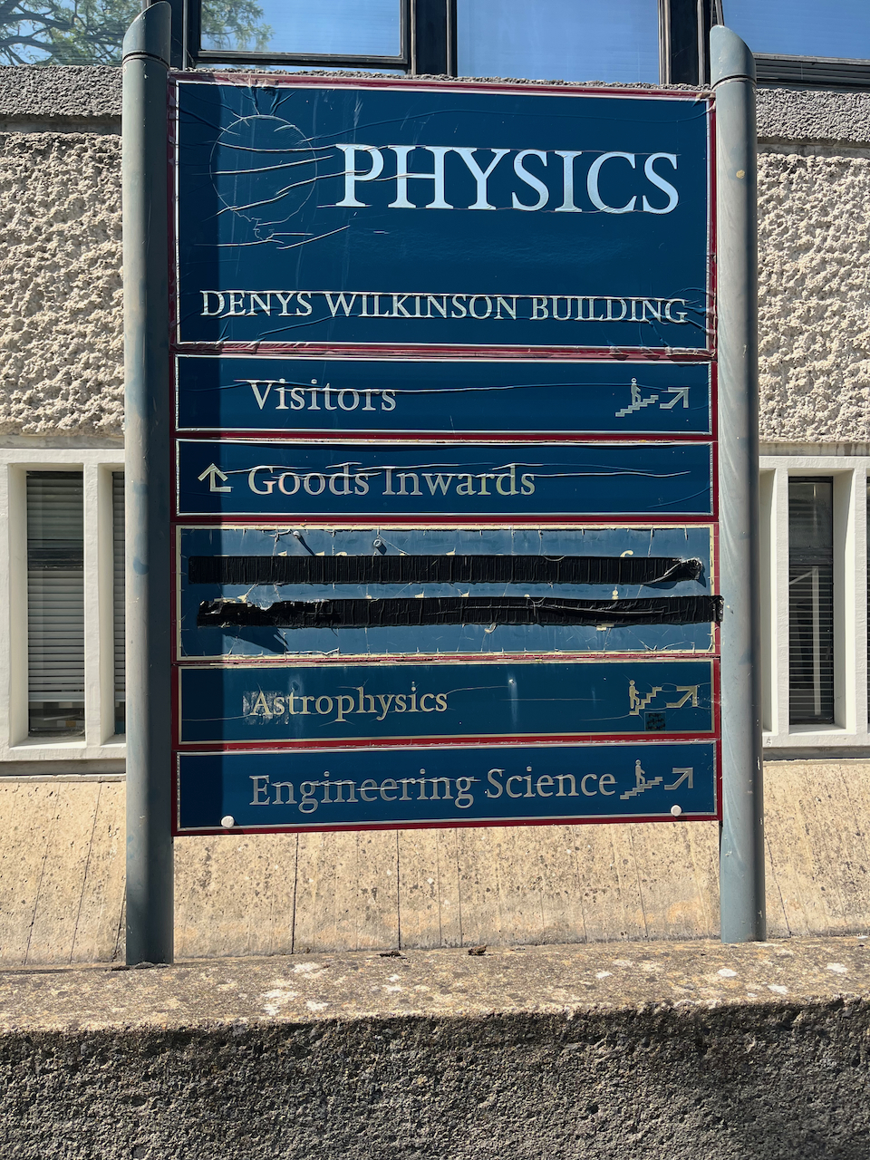
The building was renamed the “Denys Wilkinson Building” in 2002. It was built in 1967 to the designs of architect Philip Dowson of Arup. The fan-shaped structure originally housed a Van der Graff particle accelerator, now dismantled. [https://manchesterhistory.net/architecture/1960/denyswilkinson.html]

Professor Wilkinson (1922-2016) was the Head of the Nuclear Physics Department from 1962-1976.

The building on the left is the “Thom Building” which houses the Engineering Department. This building had a marvellous “paternoster” lift in the 1970s. (Note 1). This is a lift with single compartments, which operates in a continuous loop, like rosary beads, hence the name. You simply stepped into one of the slowly moving compartments and were carried up or down.

Here is work in progress on the drawing:

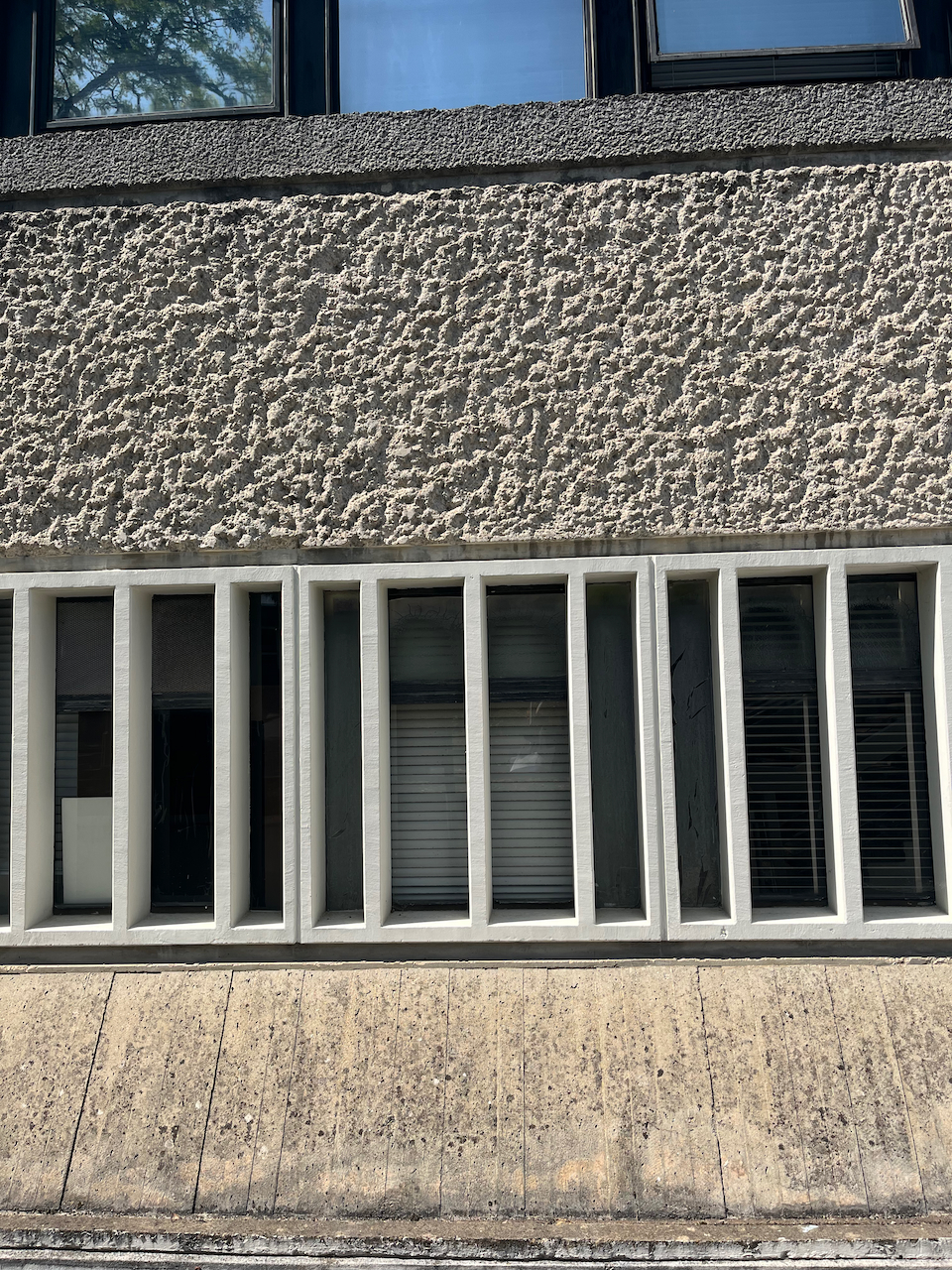
The fan-shaped structure is a rare example of brutalism in Oxford. St Catherine’s College is another example.

Ought we to treat the Denys Wilkinson building and St. Catherine’s College as a celebrated chapter in Oxford’s aesthetic history, or as evidence of a period better forgotten?

Caitriona Dowden -writing in the Cherwell, 26th October 2020 [https://cherwell.org/2020/10/26/oxfords-eyesores-brutalisms-place-among-the-dreaming-spires/]

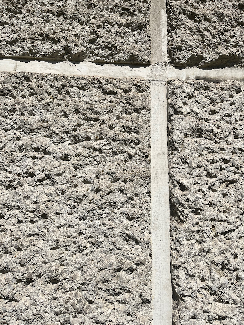
A celebrated chapter in Oxford’s aesthetic history, I think. here are some details of the design, for brutalism enthusiasts like me:

Note 1: Alan Knight writing of his memories of the department confirms my recollection: https://www.soue.org.uk/souenews/issue2/jottings.html. The paternoster was replaced by two ordinary lifts in the 1980s.

Wycliffe Hall Chapel, Oxford OX2

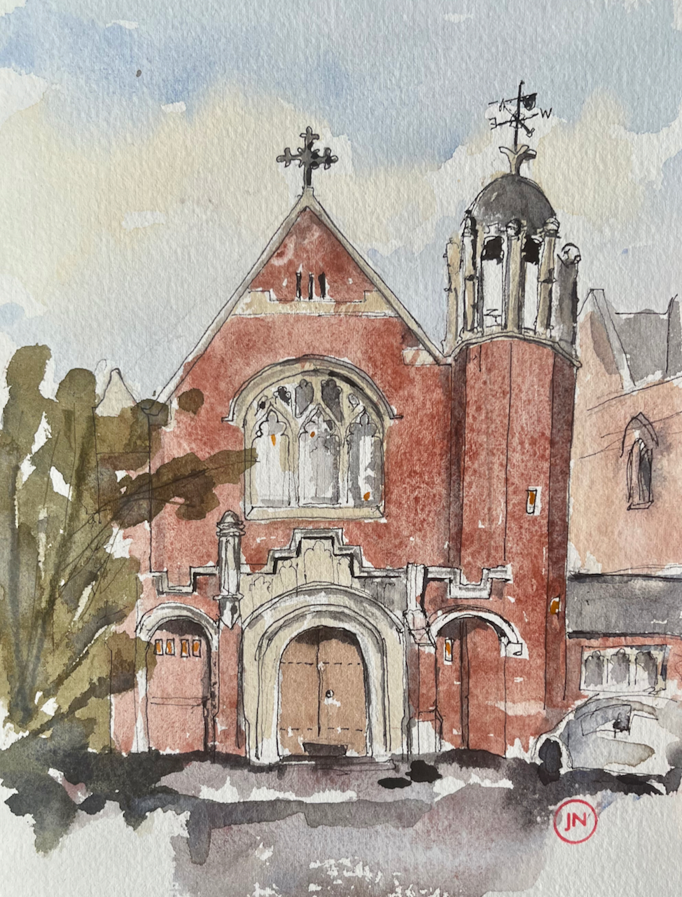
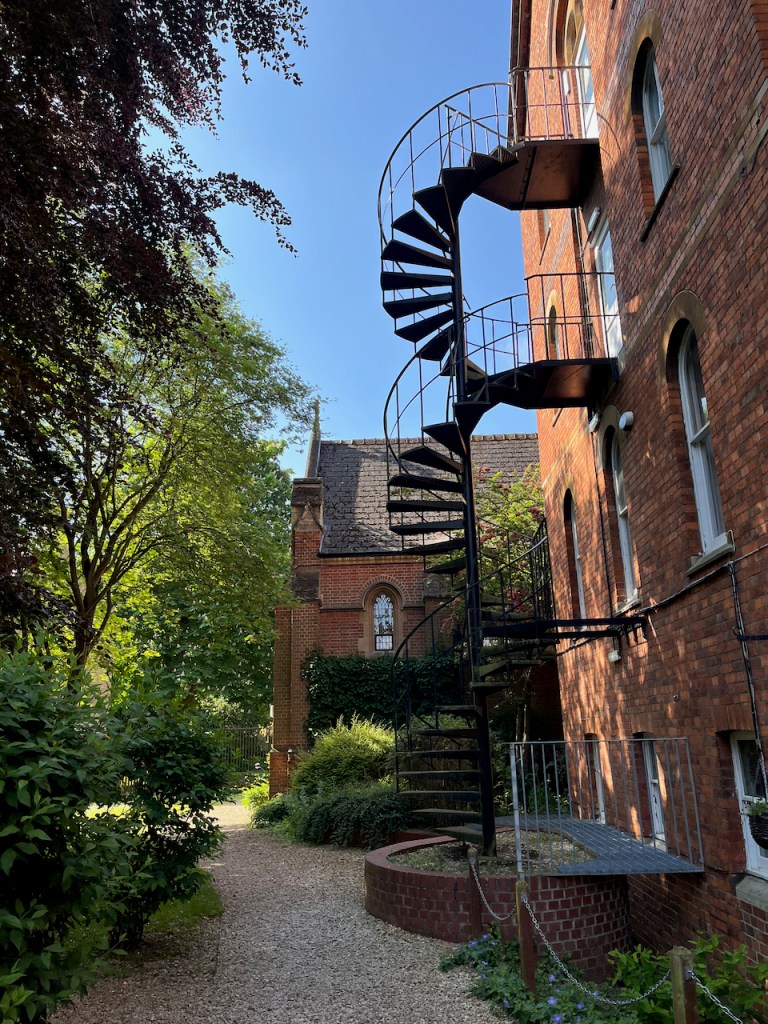
On a visit to Oxford recently, I stayed at Wycliffe Hall as a Bed and Breakfast guest. Wycliffe Hall is on the Banbury Road in North Oxford. It offers theological training to women and men who wish to become ordained or lay ministers in the Church of England. The hall was established in 1877, on the current site, and is named for John Wycliffe, bible translator and master of Balliol College in the 14th century.

I sketched the chapel which was added in 1896, designed by architect George Wallace.

Wycliffe Hall Chapel, 54 Banbury Road, Oxford, sketched 26 May 2023, in Sketchbook 13

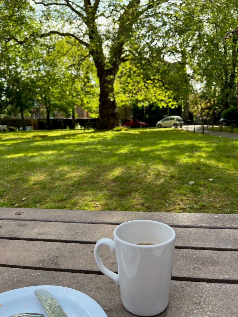
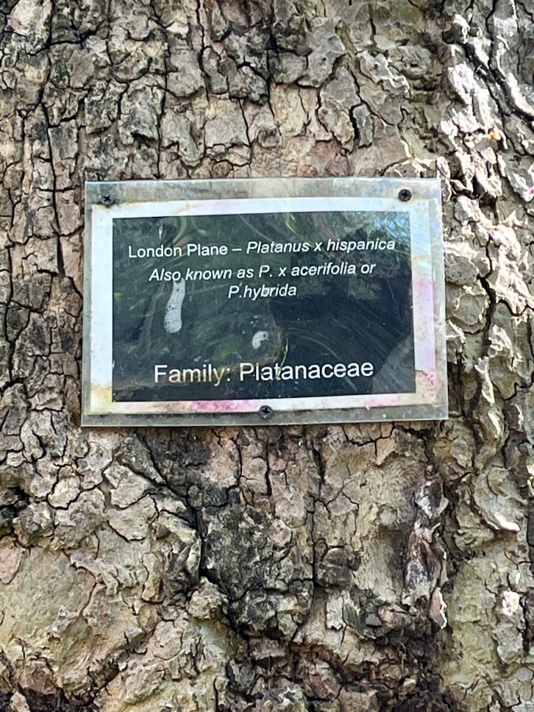
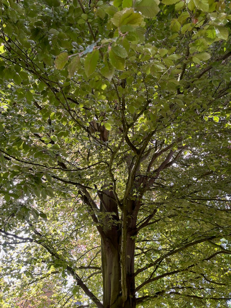
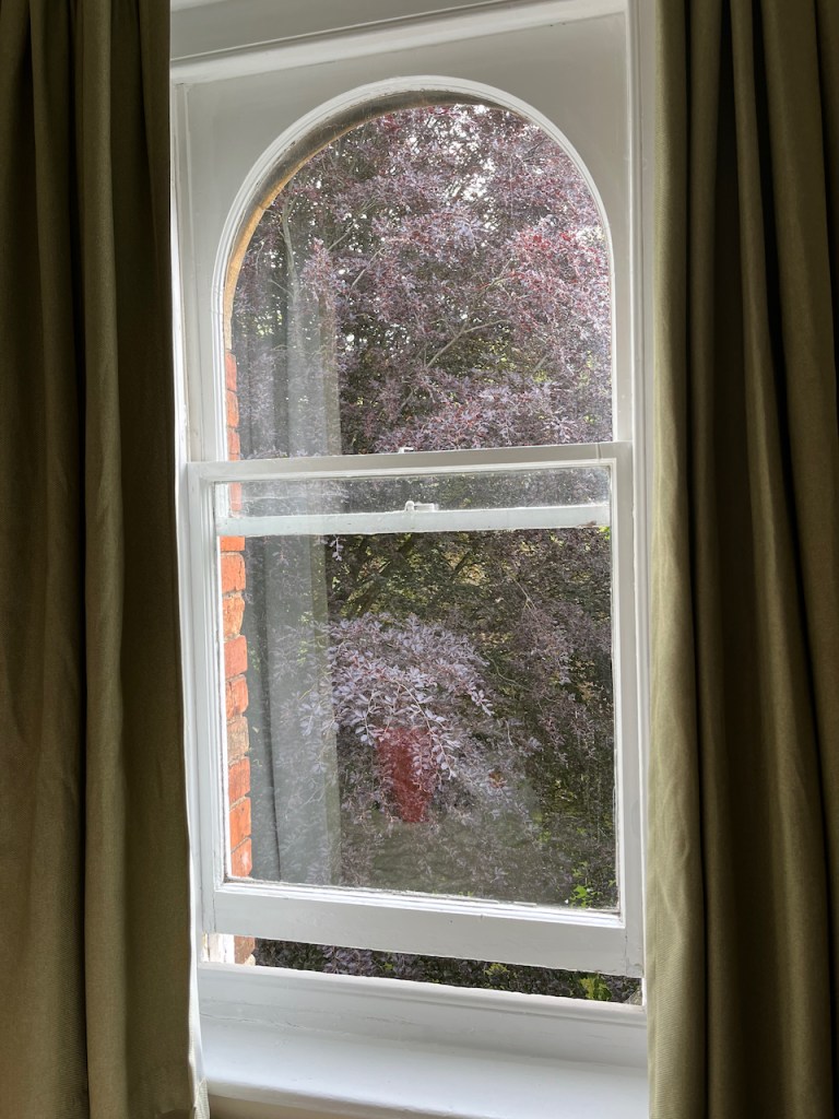
There are amazing trees in this part of Oxford. The houses are large, but the trees are larger. I had my breakfast outdoors in the garden at Wycliffe Hall, looking at a gigantic London Plane. The view from my bedroom was filled with beech tree.

I sketched the chapel in the evening and finished the sketch the next morning.


For a sketch of the west side of the Hall, see this post.

Roofscape from Macklin Street, London WC2

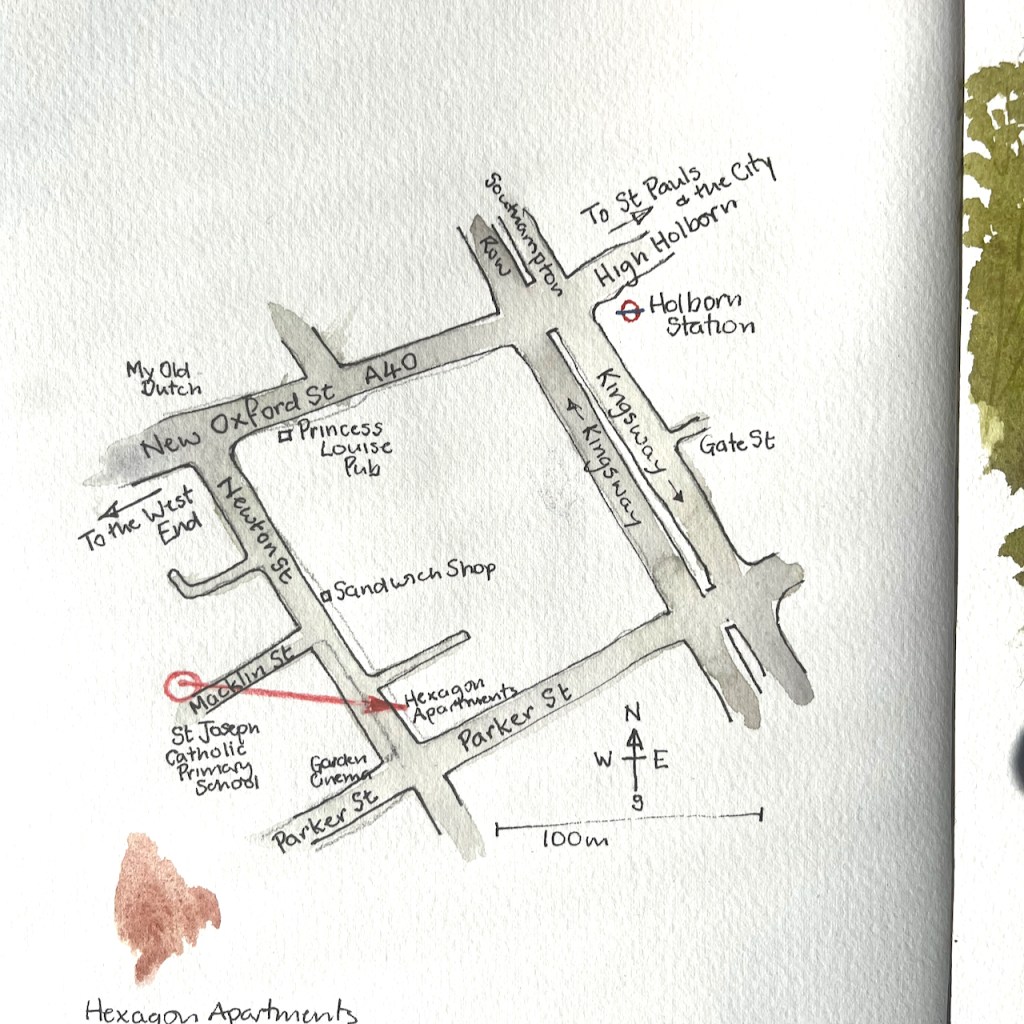
Walking through the back streets of Covent Garden, I came across a row of Victorian brick-built houses. This is Macklin Street. I made a quick sketch of the roofs.

Roofscape from Macklin Street, 5th June 2023 in Sketchbook 13

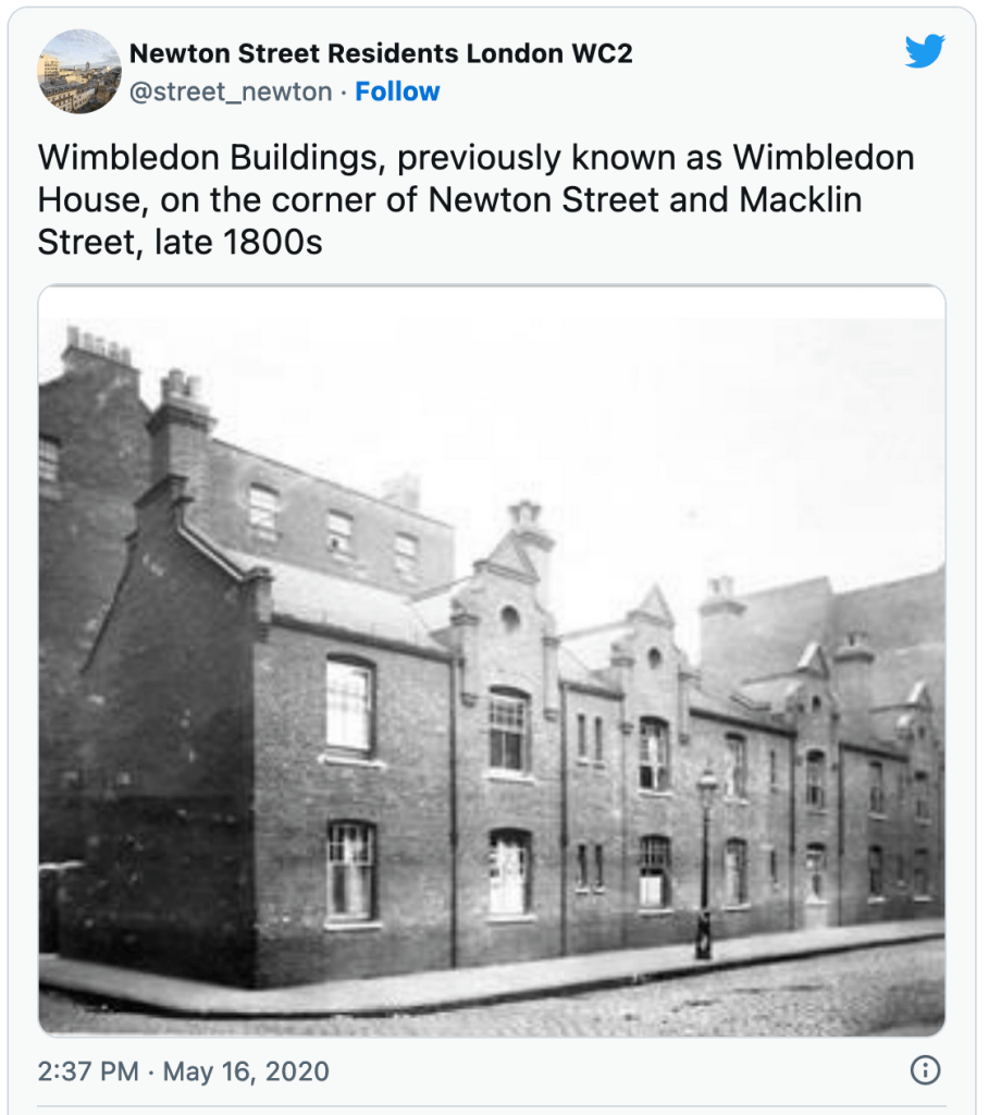
While sketching I noticed a peculiar thing. There are no doors onto the street. It turns out the entrance to this row of buildings is on the nearby Newton Street, overhung by greenery and climbing plants.
The brick building in my sketch is Wimbledon Buildings, formerly Wimbledon House, built in 1893.

In 1893 the Parker Street Lodging House was
completed for 345 people. In 1896 Aldwych, Cotterell
and Lindsey (demolished in the 1960s), Powis and
Wimbledon buildings were completed for 284 people.
Twenty workshops were also provided. The scheme also
widened Parker Street and Macklin Street.

page 9, Camden Conservation Area Statement (undated) [https://www.camden.gov.uk/documents/20142/7905860/Seven+Dials+Estate+CAS.pdf]

It is now part of a “Central London residential street with a community of social housing and owner occupying flats”, with its own Twitter account. Here is a interesting picture from that Twitter feed, showing the roof gable I sketched. This is the view from Newton Street, with Macklin Street going off to the right. Note the absence of front doors. The entrances are through a gate at the left of the photo.

St Joseph’s Primary School is on Macklin Street. Its former name, Macklin Street Catholic School, is still clearly inscribed in the stonework high up. As I sketched, the children came out into the street at the end of their school day.
The Camden Conservation Area statement mentioned above is on this link . If that doesn’t work, you can download it from the link below. It is 36 pages.

London Wall EC2: the hanging bridge

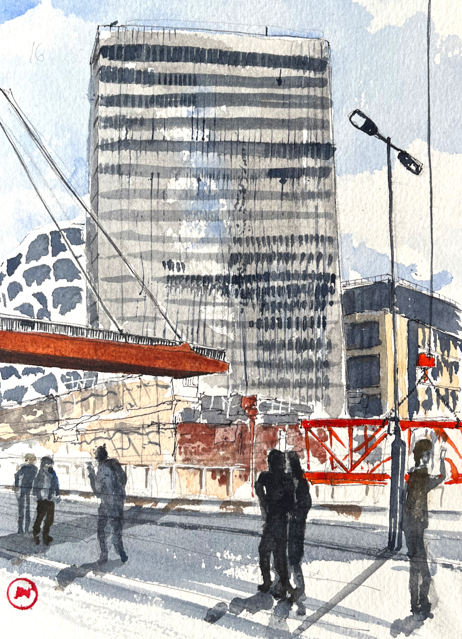
Here is an amazing sight: the hanging bridge over London Wall.

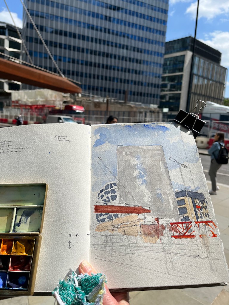
London Wall, hanging bridge. 24 May 2023, about 1pm, 7″ x 10″ in Sketchbook 13

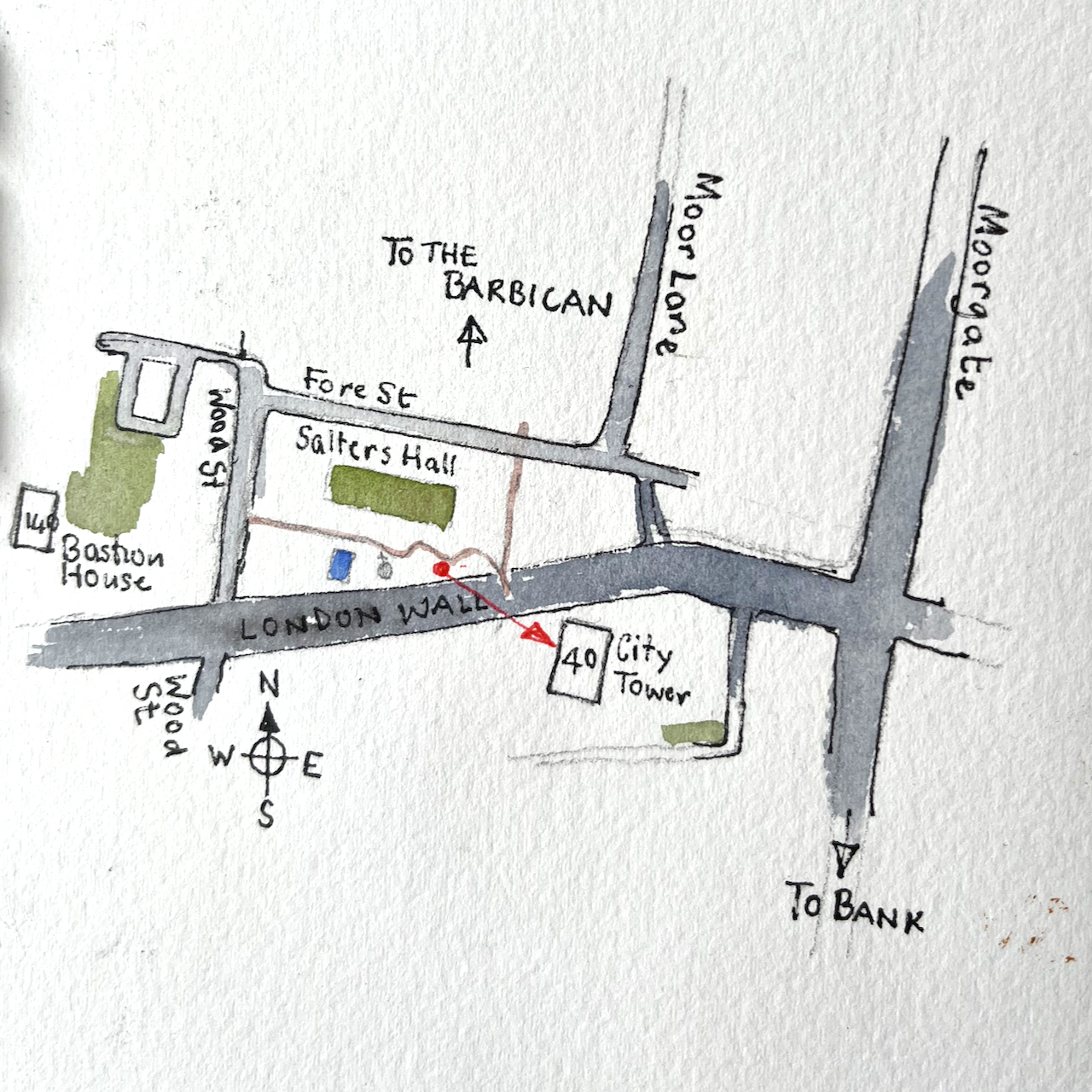
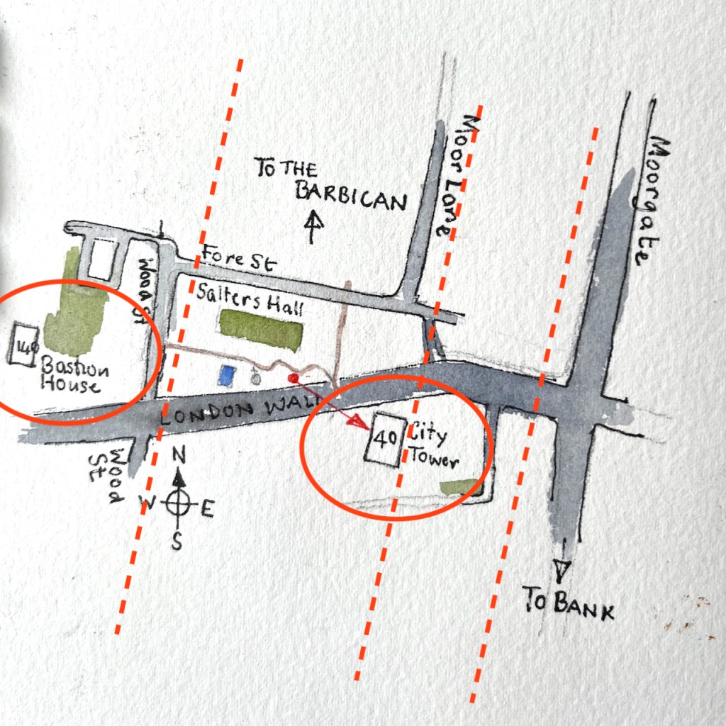
The large building in the centre of the picture is City Tower, 40 London Wall. In front of it is a demolition site where City Place House used to be. The bridge used to connect to City Place House. Now this building has gone, the bridge hangs in space.

In my previous drawing I sketched while listening to the guitar music of Hidè Takemoto. For this drawing, the acoustic accompaniment was mostly percussion. The building site was active. Spasmodic grinding and crashing signalled the removal of concrete. Metallic hammering came from scaffolding under construction.

The big red grid on the right of my picture was hauled upwards and out of sight before I finished drawing it. It was going to be part of a second crane. It arrived on a large lorry which would also have been in the picture if it had stayed still long enough. Immediately it arrived, workers secured chains to the red structure and it was manoeuvred off the lorry. Hardly anyone on the pavement paid any attention to all this thrilling activity across the road. One person, the slim figure to the right of my picture, stopped and took a selfie.
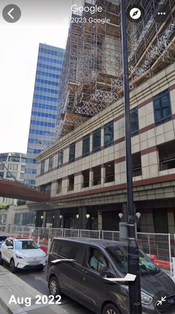
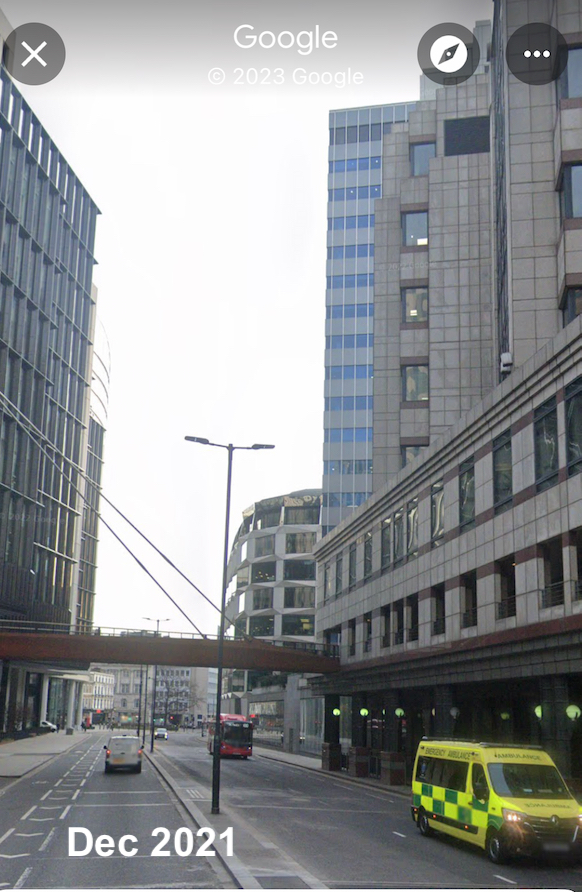
GoogleMaps allows us to travel not only in space but also in time. Here are some screengrabs so you can see the City Place House (on the right) which has now disappeared.

As you see, City Tower used to be obscured by City Place House. It will be obscured again when the next huge building goes up.

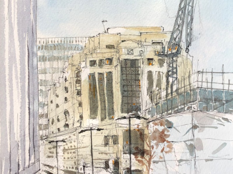
The bridge in the pictures above is the “new bridge”. It was installed as part of the London Wall Place development (off the picture to the left). The “old bridge” took a slightly different route. Again, GoogleMaps provides an image. Notice the previous lampposts, with the flying saucer lights.

The “old bridge” across London Wall, July 2008.
City Place House, on the right, is the building which is now being demolished.

I sketched City Place House before it was demolished. This post (click below) gives information about the old building which has been demolished and the new building which is planned.

City Place House

An email from an ever-vigilant neighbour alerted me to the Planning Application for City Place House and the adjacent tower, City Tower. This application is currently under consideration. I hastened to go and have a look at the buildings, before they get swathed in white plastic. City Tower has been there since 1967. It is…

Click here to read this post..

City Tower is not being demolished. This is of interest because its sister building Bastion House, constructed at the same time, is deemed “unsafe” by the City of London, and is scheduled for demolition to make way for the “London Wall West” project. It’s curious that City Tower is evidently not “unsafe” and is standing proud, in use into the future.

I made a special tool to draw the many windows on City Tower.

City Tower has 35 verticals. I made a special comb from cocktail sticks to scrape the paint into the required number of vertical lines.

The colours are:

  • Ultramarine Blue and Lavender for the sky.
  • All the greys are Ultramarine Blue and Burnt Umber
  • The bridge is Fired Gold Ochre, with some Transparent Pyrrol Orange
  • The red is Transparent Pyrrol Orange
  • Mars Yellow is on the distant building and the scaffolding plastic

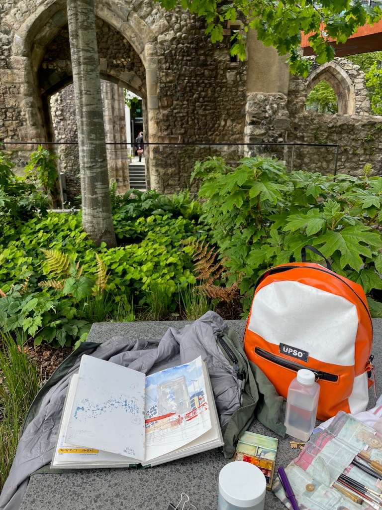
I put down the first wash on site and finished the picture at my desk.