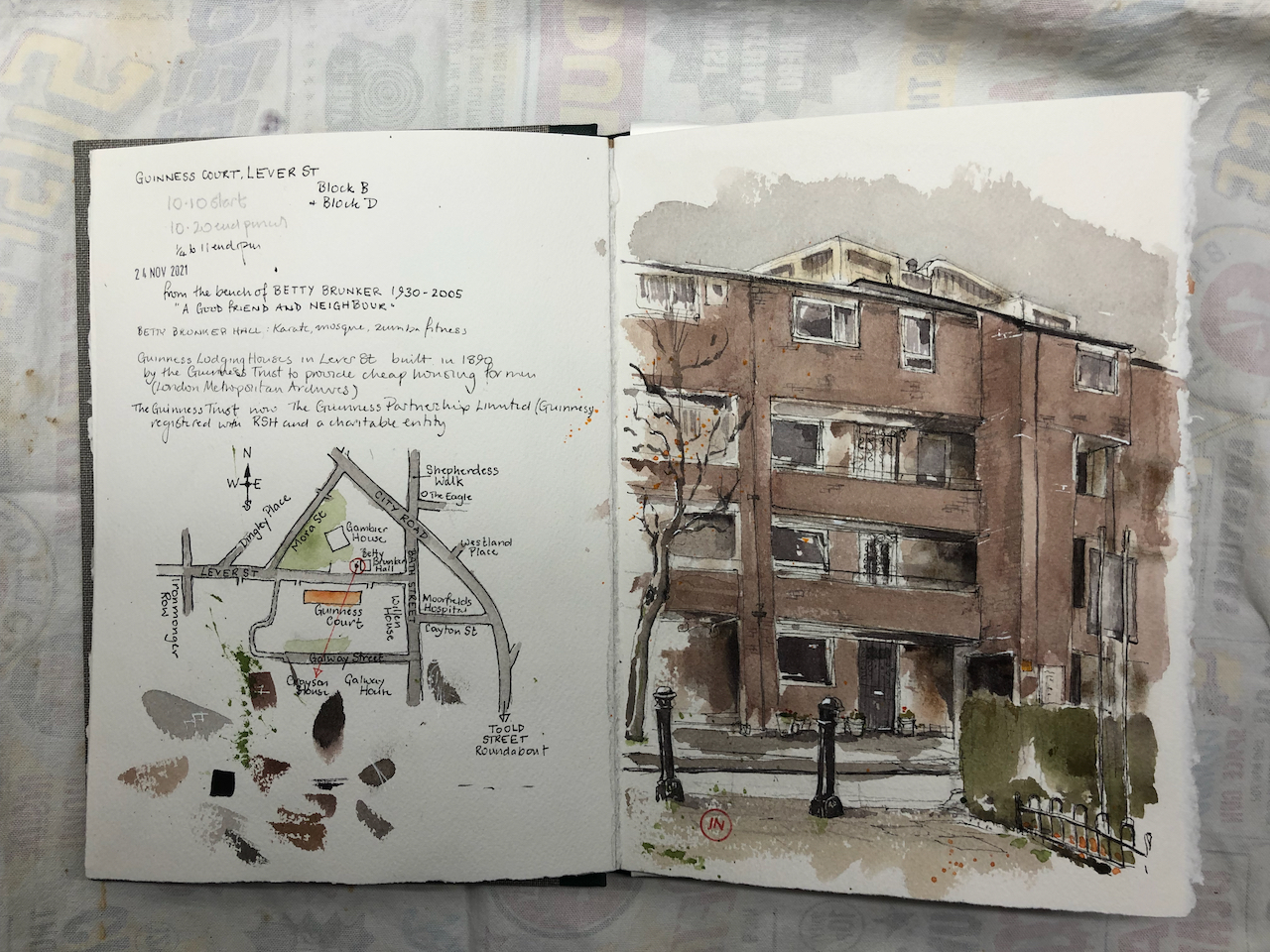
Guinness Court is a group of low-rise blocks between Gambier House and Galway House, in Finsbury. A resident writes that it is a lovely place to live, with an “inner communal garden with trees and squirrels”.
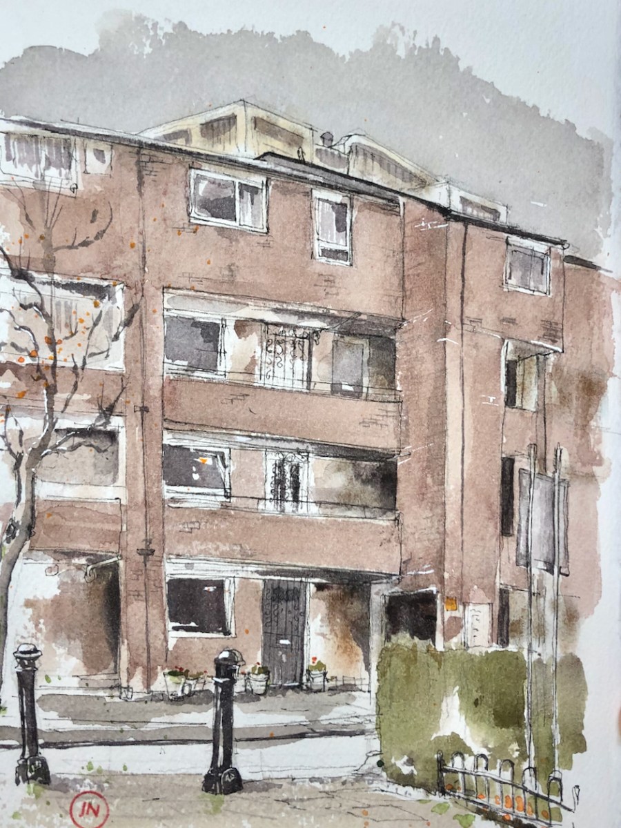
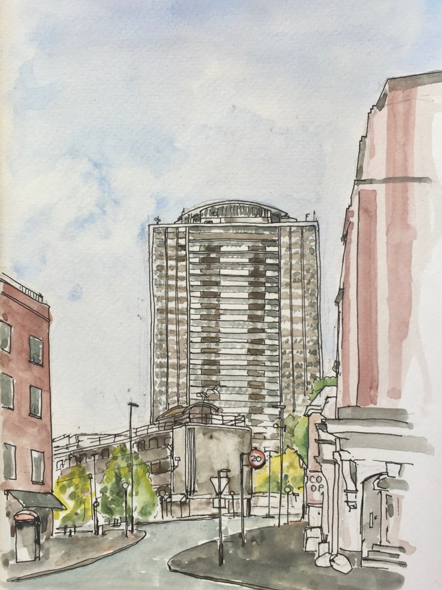
Here is Guinness Court from Lever Street:
Guinness Court, Lever Street, EC1 24th November 2021, 10:45am.
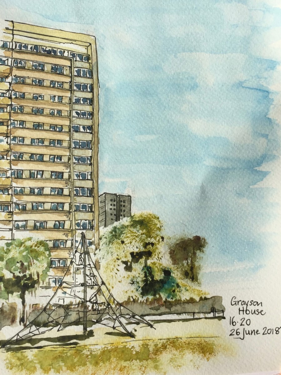
You see Grayson House just peeping over the roof.
Guinness Court is owned and managed by Guinness Partnership Limited1.
“Guinness was founded in 1890 to improve people’s lives. And that’s still what we’re about today. In 1890, philanthropist Sir Edward Cecil Guinness donated £200,000 to set up the Guinness Trust in London, with an additional £50,000 for the Dublin Fund, which later became the Iveagh Trust. He wanted to help improve the lives of ordinary people, many of whom couldn’t afford decent homes. He wanted to improve people’s lives and create possibilities for them. We’re proud that thousands of families have benefited from this vision.” [https://www.guinnesspartnership.com/about-us/what-we-do/our-history/]
Sir Edward Cecil Guinness was the grandson of the founder of the Guinness brewery.
The original Guinness Court on Lever Street was built in 1890. Here is what it looked like in 1950:
The current building was constructed in 1976, according to “Streets with a Story – The Book of Islington” by Eric A Willats FLA. I cannot discover anything about the architect or the plans – or why the Victorian building was demolished. If anyone has access to the current building and can spot a foundation stone or information plaque, please let me know?
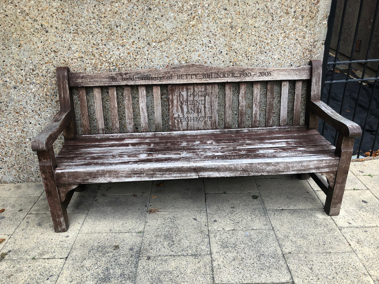
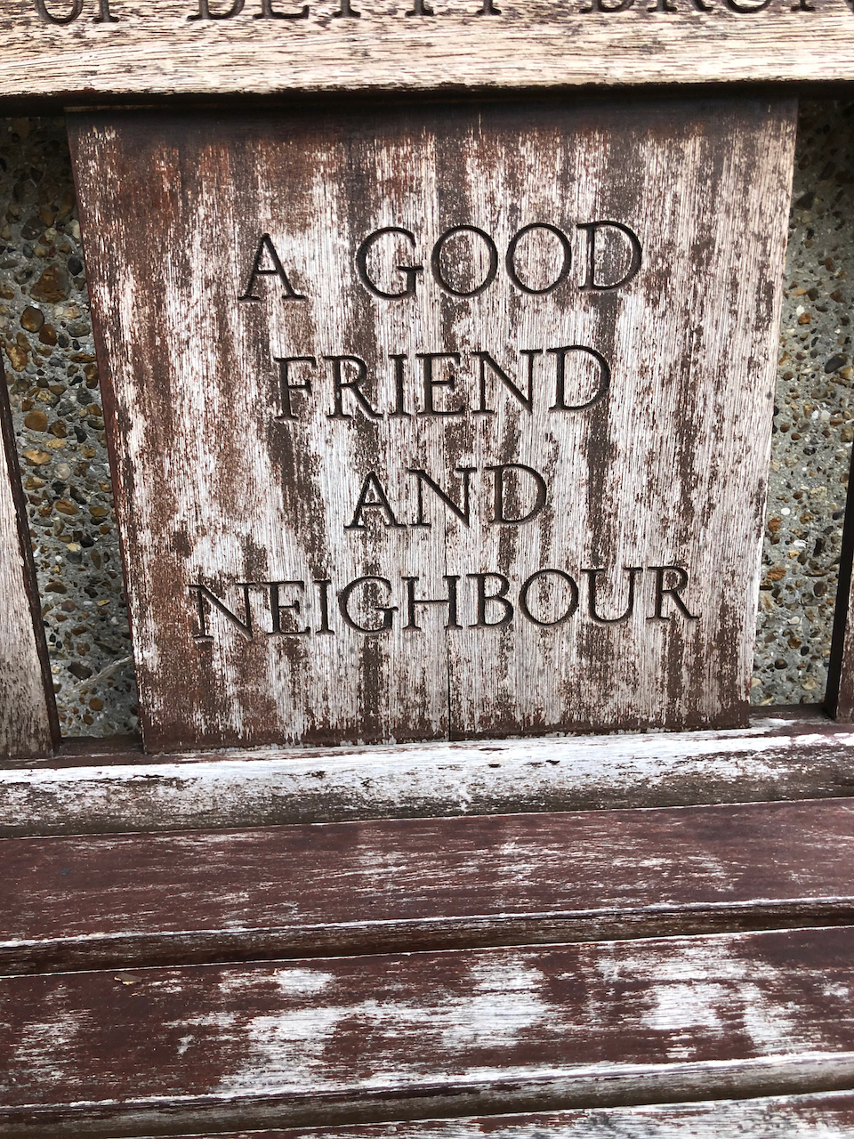
I made the sketch from a bench dedicated to the memory of Betty Brunker, “a good friend and neighbour”, 1930-2005.
Note 1: The Guinness Partnership Limited is a charitable Community Benefit Society No. 31693R registered in England and is a Registered Provider of Social Housing No. 4729. [https://www.guinnesspartnership.com]
Note 2: There are a number of buildings called “Guinness Court” in London. For example there is Guinness Court in Mansell Street E1, not far away, and Guinness Court, Snowsfields, Southwark SE1, on the other side of the river.
I have done a number of sketches in the Finsbury area:
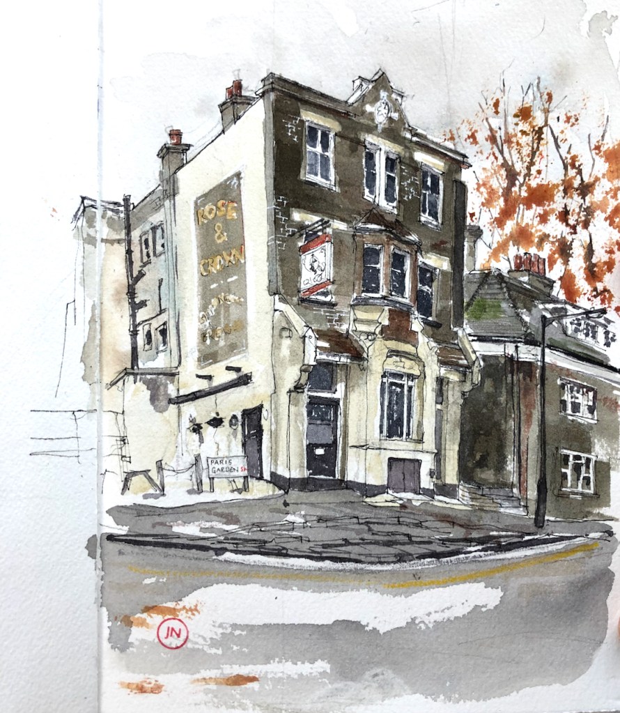
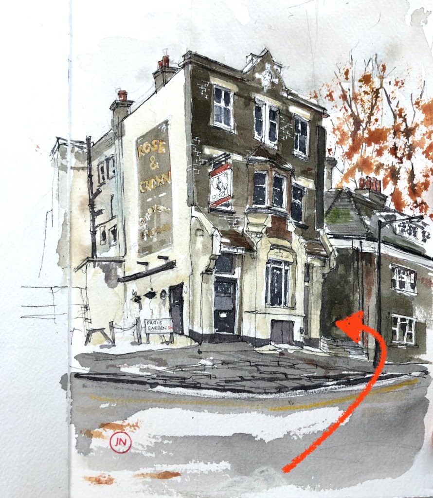
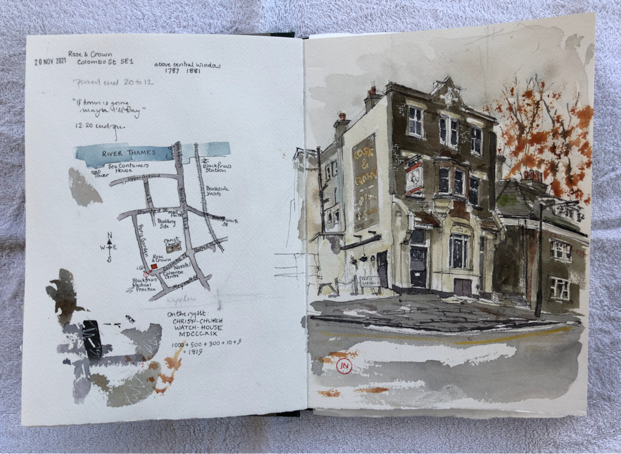
Here is the Rose and Crown, just south of Blackfriars Bridge.
Rose and Crown, Blackfriars SE1, 20 November 2021, 10″ x 7″ in Sketchbook 11
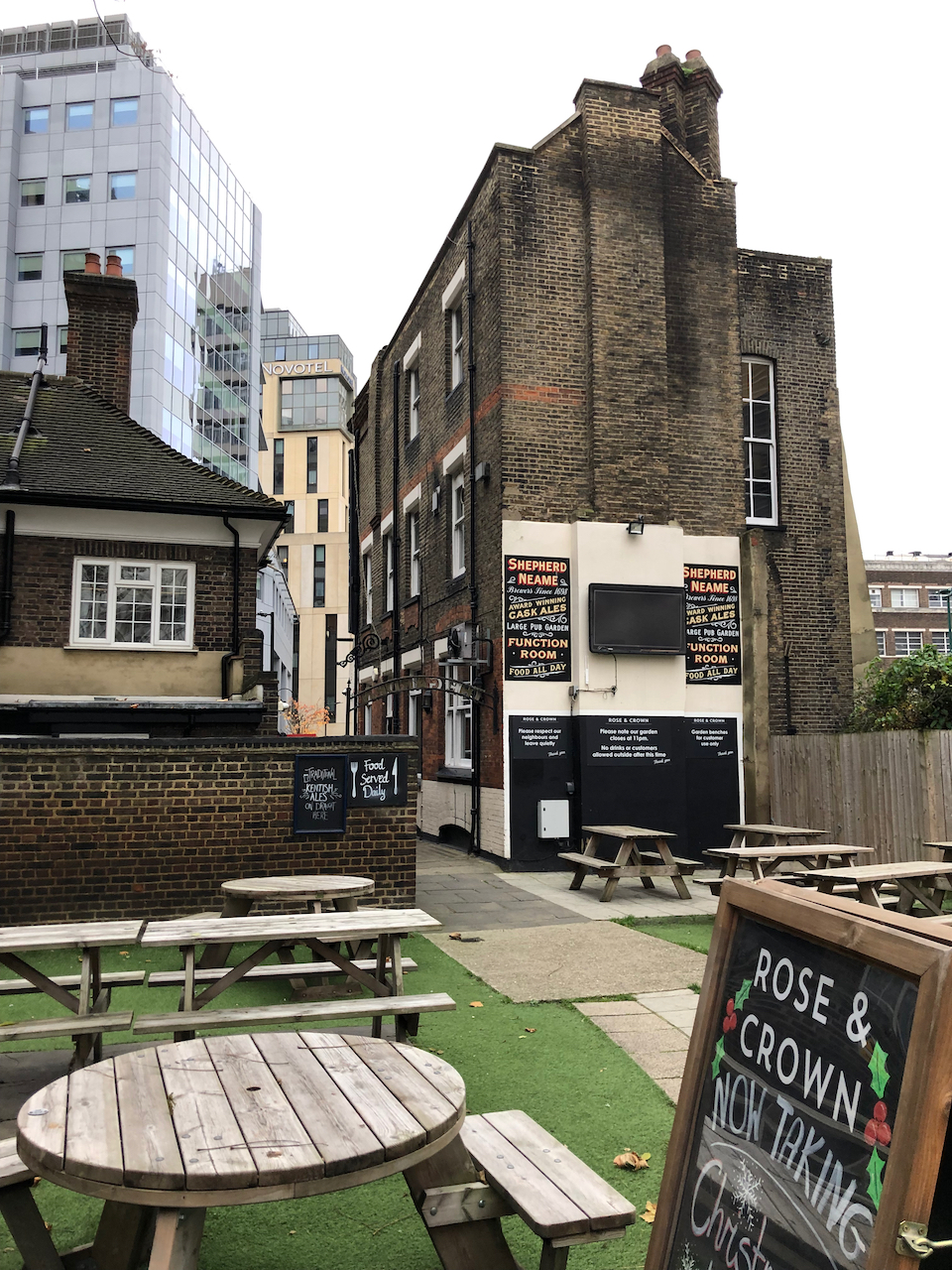
This pub stands amongst modern blocks: linking past, present and future in a swirling area of change. Behind the pub, unexpectedly, is a beer garden, giving onto a wooded area around the nearby church, Christ Church.
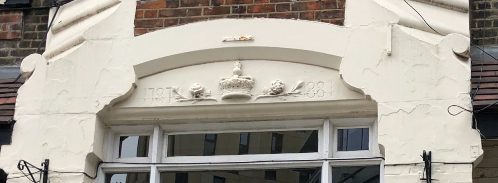
Above the arched window of the pub, two dates are carved in the stone work: 1787 and 1887
Above the arched window: 1787 and 1887 (or 1881?)
The pub’s website says the building “is thought to date back to the late 1800s”. The marvellous “pubwiki” entry tells me that the pub “was established in 1787, re-built in its present form in 1887″. They trace the landlords’ names and dates through census and insurance records, and note a John” Clark, victualler at this location, in 1789.
“1789/John Clark/victualler/../../Sun Fire Office records held at the London Metropolitan Archives” (data from Ewan of “pubwiki”)
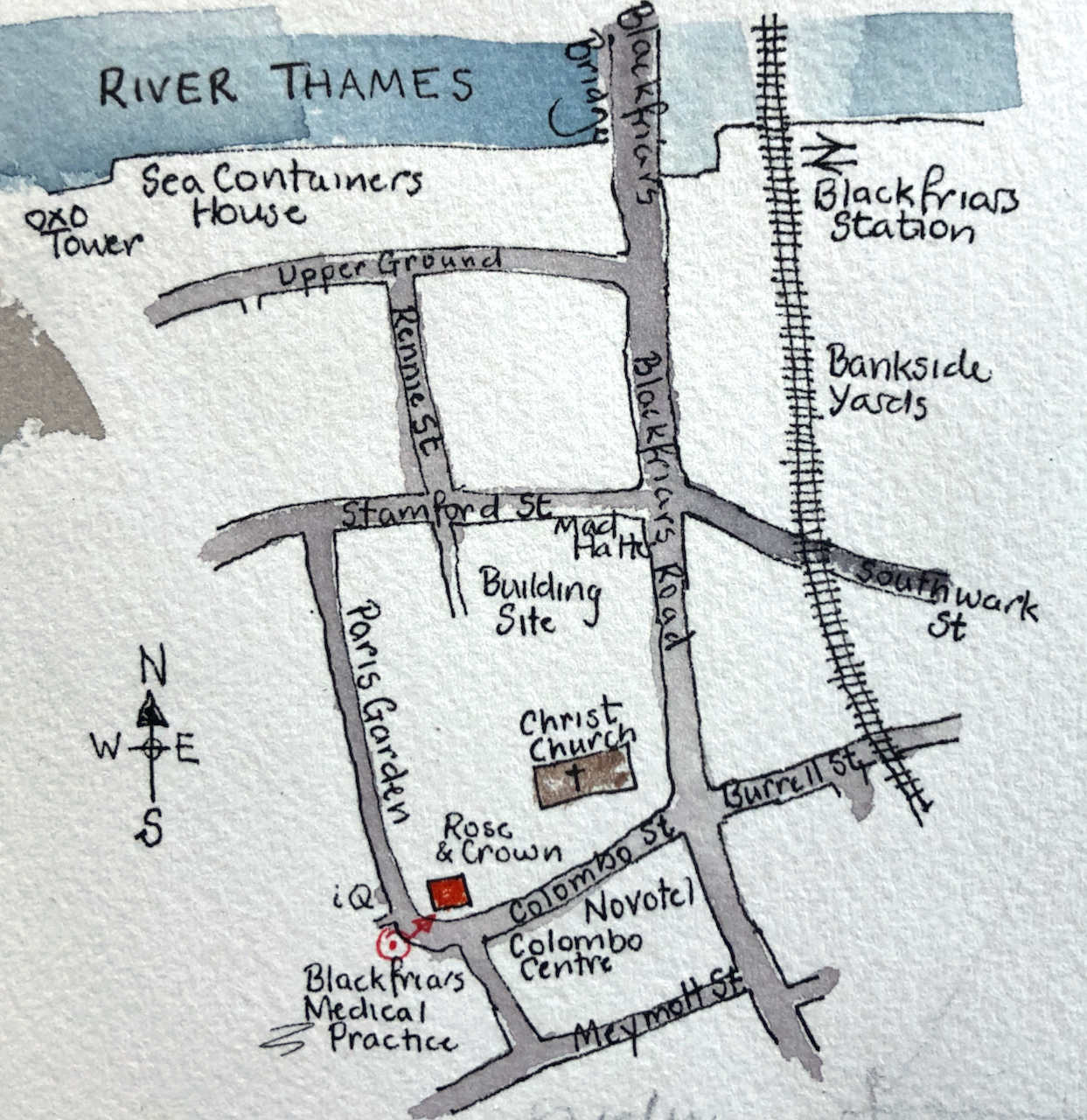
Sketch map showing the Rose and Crown, SE1, and the viewpoint of my drawing, 20th November 2021
The roads round here have changed names. Colombo Street was “Collingwood Street” until 1937 (London Metropolitan Archives, notes on photos). Before that it was “Green Walk” in the 1789 insurance records quoted above. Paris Garden was previously “Brunswick Street”. The area in front of the pub, now the Colombo Centre and a Novotel, is a bombsite in a 1951 photo in the London Picture Archive.
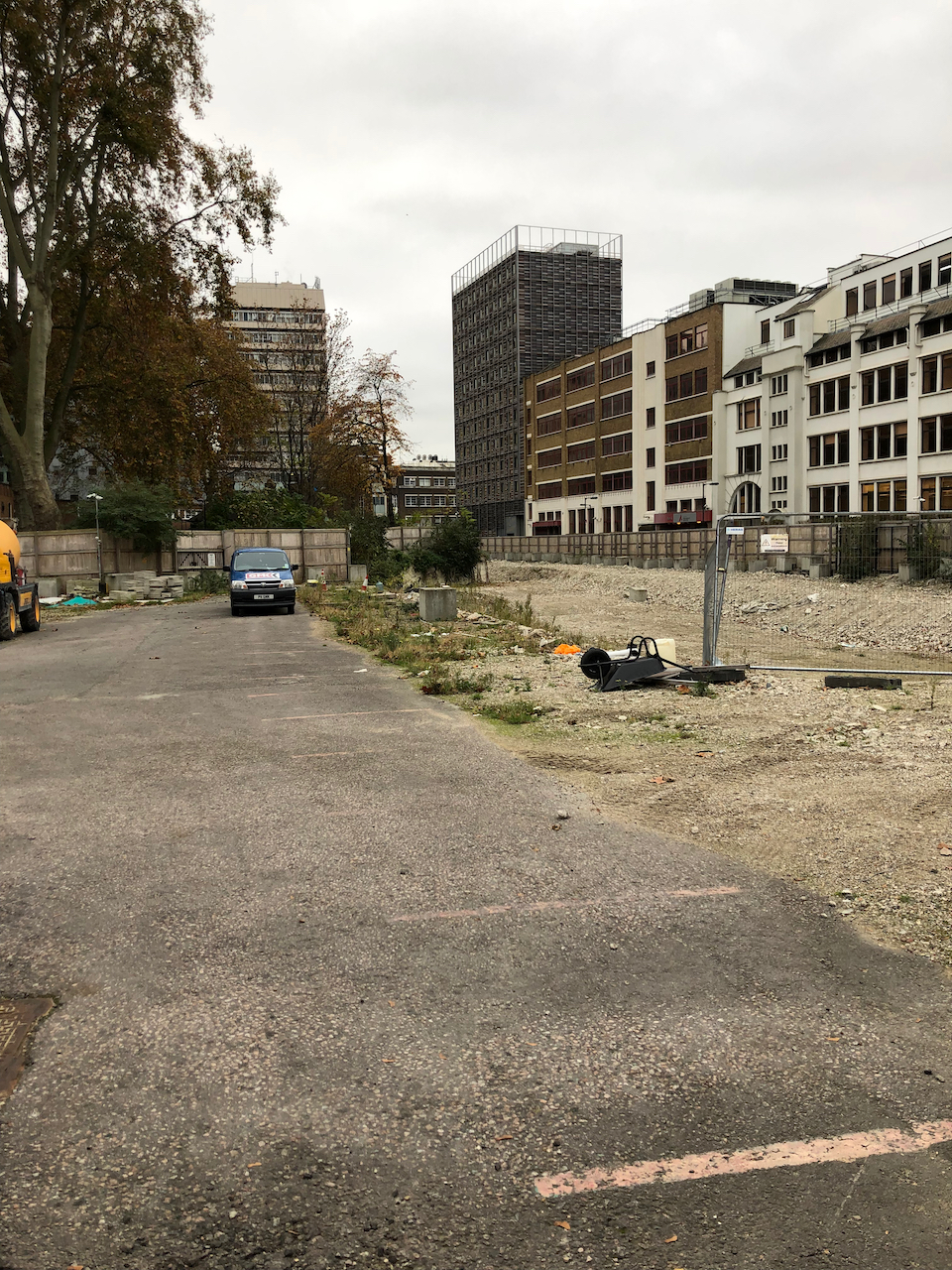
The area continues to undergo change. North of the pub is a huge empty lot. Buildings were demolished in or around 2019, and construction has not yet started.
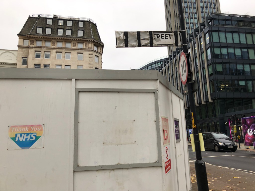
This sign should say “Rennie Street”. Now this part of Rennie Street is inside the empty building lot, and inaccessible.Looking South along “Rennie Street” from Stamford Street across the empty building lot. The Rose and Crown is just visible in the back. I took this photo through the wire fencing which blocks Rennie Street.
The planning application (2019) is for 4 levels of basement and 6 buildings from 5 to 53 floors.
Planning application 19/AP/0414 from “planning.southwark.gov.uk”
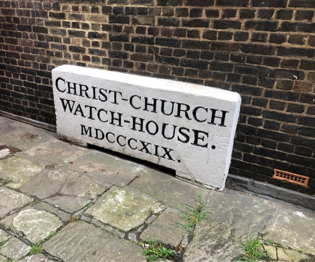
If you walk into my drawing and turn into the dark passage to the right of the pub, you find this notice, written in stone. Recently another notice has been added, asking patrons to leave quietly.
Walk into the passage to the right of the pub…..and find this notice (May 2021 photo)November 2021 photo.
By my calculation MDCCCXIX is 1000(M) + 500(D) + 300(CCC) + 10(X) + 9 (IX) = 1819
The purpose of the watch house was to guard the adjacent burial ground from body snatchers, according to the note on the London Metropolitan Archive Picture Gallery. Here is the watchhouse in 1932. The pub would be immediatly to the left of this photo:
“The Parish Watchhouse was built in 1809 and stood in the Church Yard until demolished in 1932. The Watchhouse was used to guard new burials against body snatchers. The Rectory, a new building similar in style, stands on the same site. Colombo Street was previously known as Collingwood Street.”
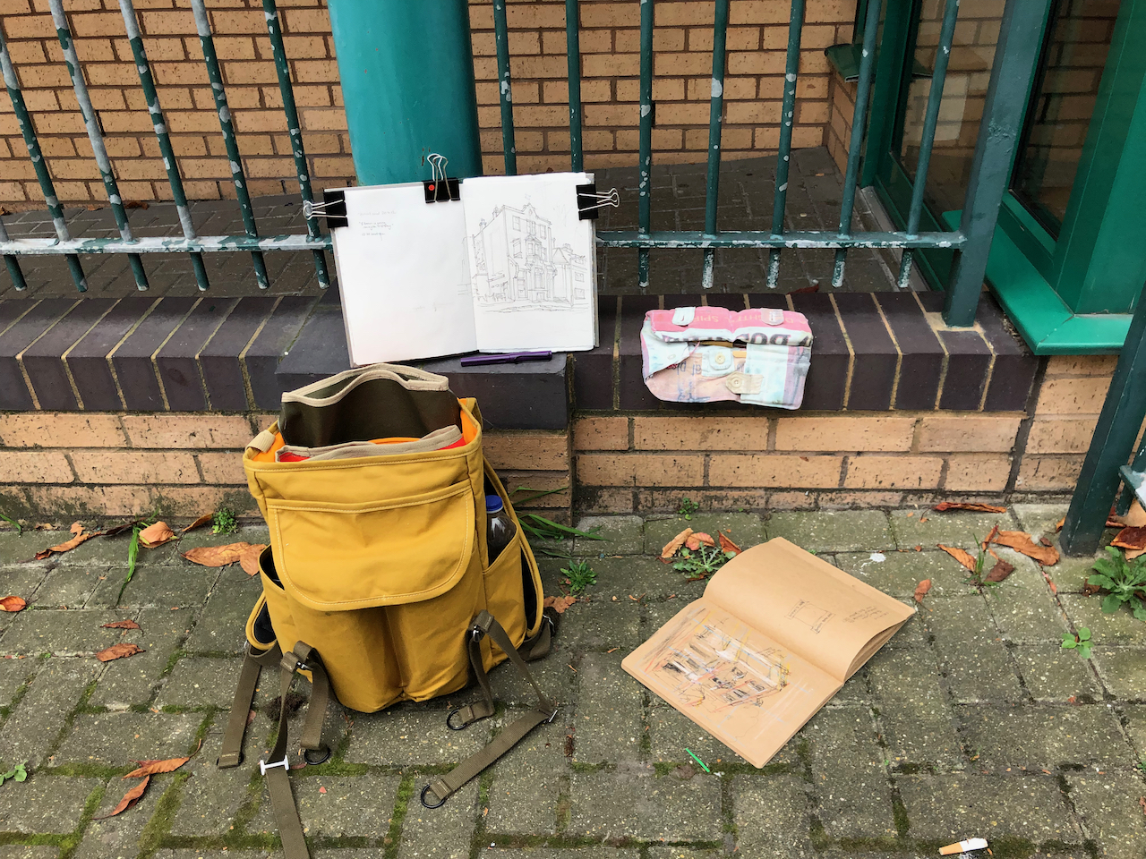
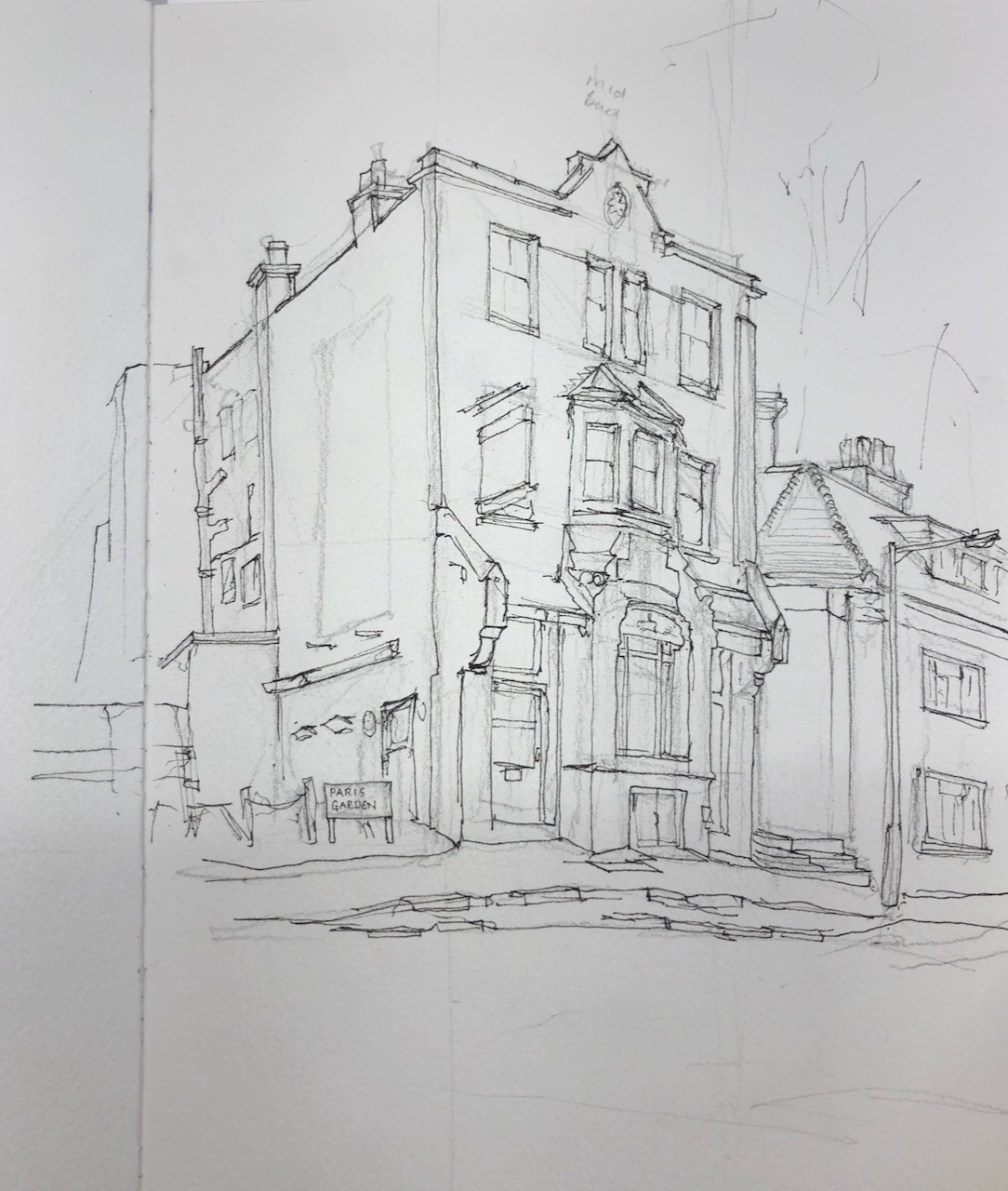
Here is work in progress on the drawing. You see the current rectory, which replaced the watch-house, on the right.
Location:
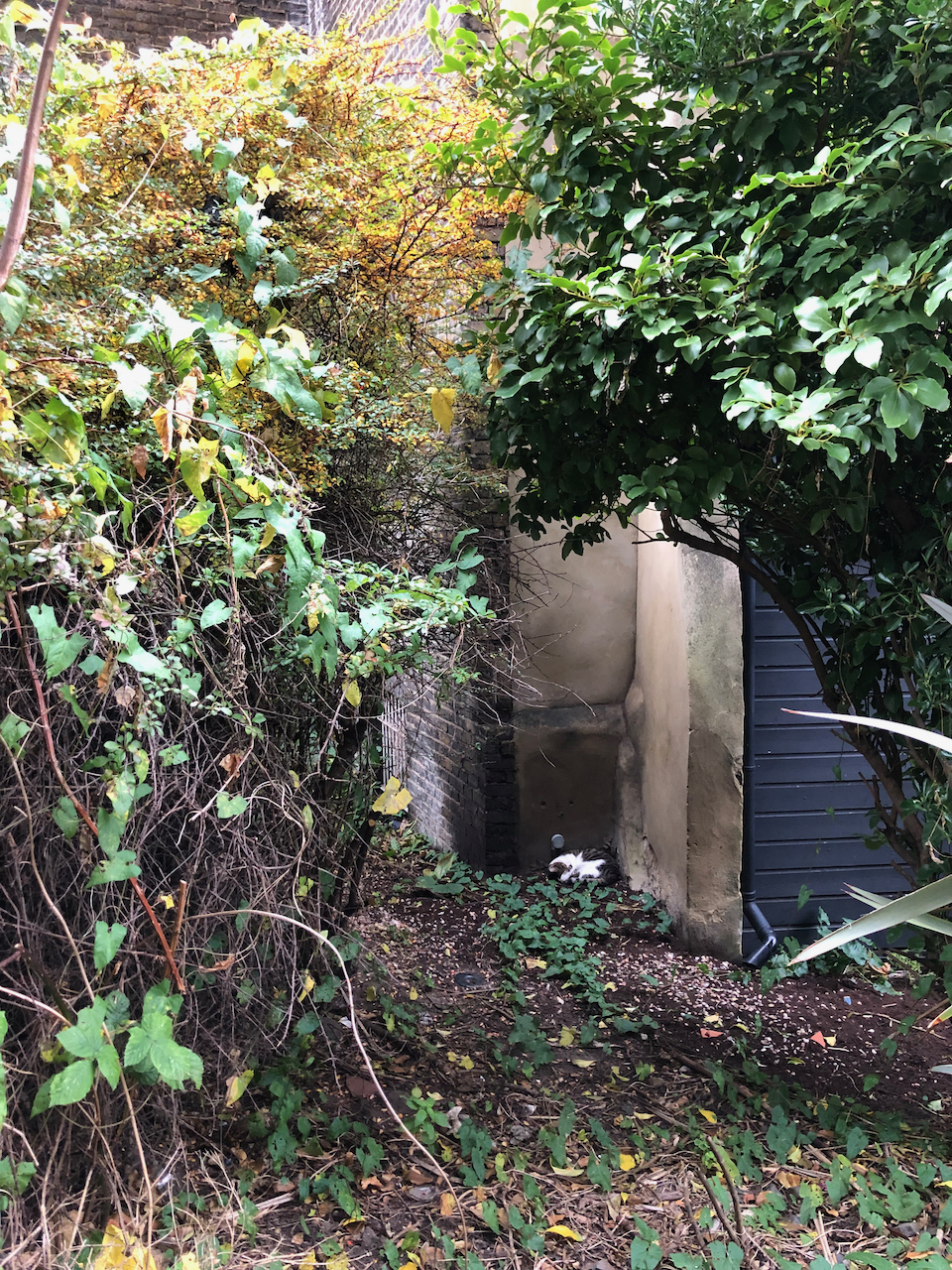
The pub cat, sleeping.
Click a button below to share this post online, email it, or print it:
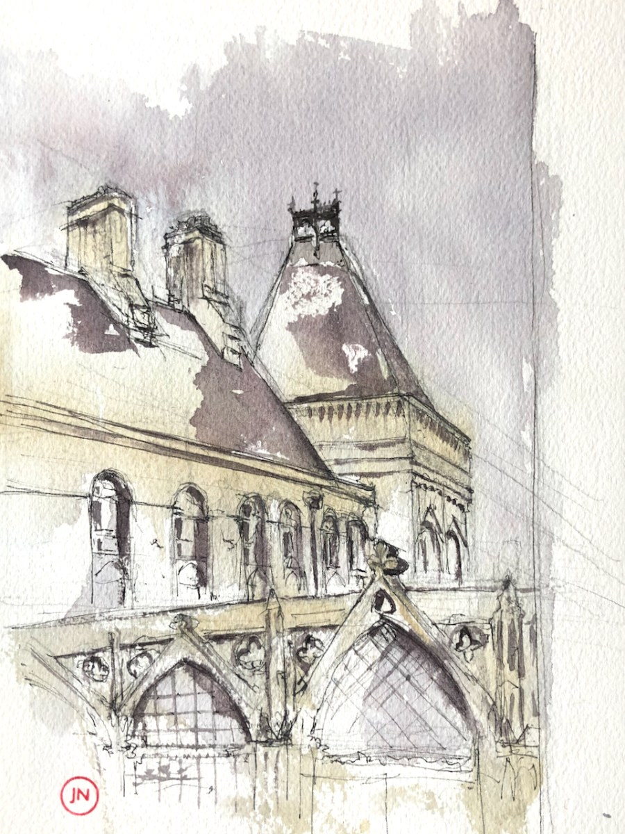
It was morning. As I walked down Bell Yard the sun streamed into the alley.
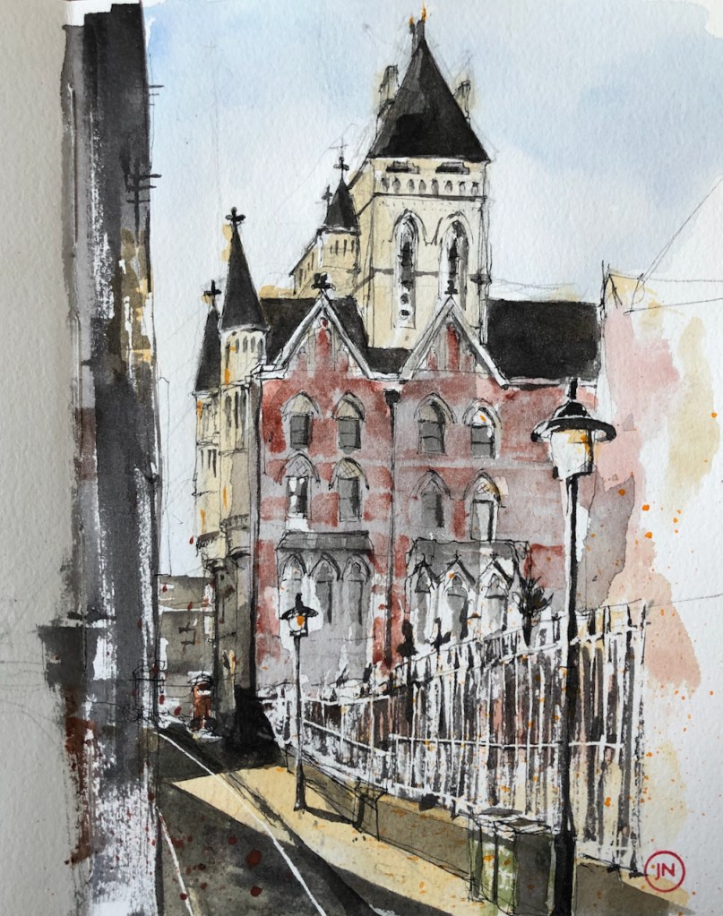
Royal Courts of Justice from Bell Yard, 16th November 2021, 10:45
Later, I visited the Royal Courts of Justice. During the week, the Courts are open, and you can go in. I put my backpack on the conveyor belt. The friendly security guard asked me to drink from my water bottle: “The Sip Test” he called it, to check that my bottle did not contain a noxious substance. It didn’t. The equally friendly and welcoming person at the enquiry desk issued a photocopied information sheet setting out a self-guided walk around the building, which I followed.
It’s well worth a visit. It is an extraordinary example of Victorian architecture. And, of course, it contains working law courts. Photography is not allowed, and they were not enthusiastic when I suggested I might do a drawing inside, so I didn’t. People are at work, and court sessions are in progress, so respect is in order. The Café was not open, which was a pity.
My drawing shows the Eastern part of the building. I sketched it on location in about 40 minutes and did the colour later at my desk.
I sketched the Royal Courts of Justice from Carey Street earlier in the week, under an overcast sky:
The Royal Courts of Justice are a huge campus of buildings of Victorian gothic style, between The Strand to the south to Carey Street to the north. Here is a view from Carey Street. The Royal Courts of Justice are the High Courts for England and Wales, and the Court of Appeal. The High Courts…
Click a button below to share this post online, email it, or print it:
The Royal Courts of Justice are a huge campus of buildings of Victorian gothic style, between The Strand to the south to Carey Street to the north.
Here is a view from Carey Street.
Royal Courts of Justice from Carey Street, 12 November 2021, 1:45pm 10″ x 7″
The Royal Courts of Justice are the High Courts for England and Wales, and the Court of Appeal. The High Courts are for civil cases, such as breaches of contract, personal injury claims, libel and slander. There is also a family division for cases of matters such as marriage annulments and care of children. Criminal cases, such as murder, are tried in the Old Bailey, down the road. Criminal cases are appealed in the Royal Courts of Justice Appeal Court. I learned this from an entry in Chambers Student website.
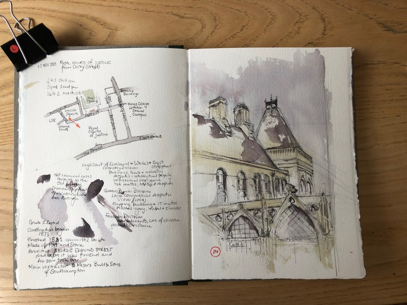
The construction of this building started in 1873. It was opened by Queen Victoria on December 4th 1882. The architect was George Edmund Street. The main contractor was Messrs Bull and Sons of Southampton.
Drawn and coloured on location. I used Buff Titanium for the Portland stone, and the grey is a mix of Perylene Maroon and Prussian Blue. This drawing took about 1 hour 15 mins. I also did a preliminary sketch to explore the perspective.
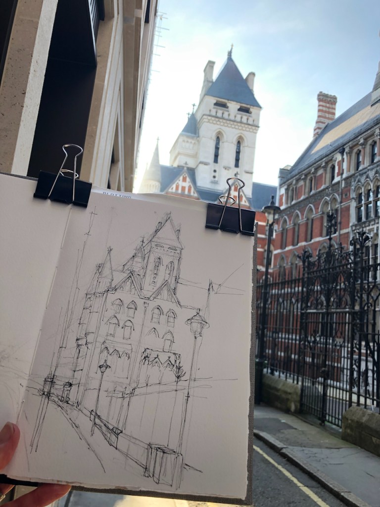
Preliminary sketch with yellow and red perspective lines
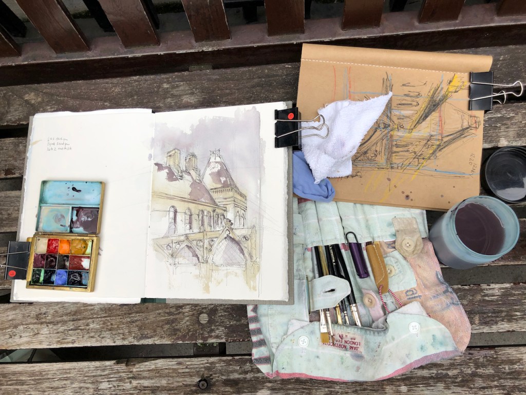
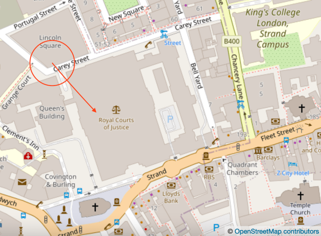
Finishing the colour on a bench in Grange Court
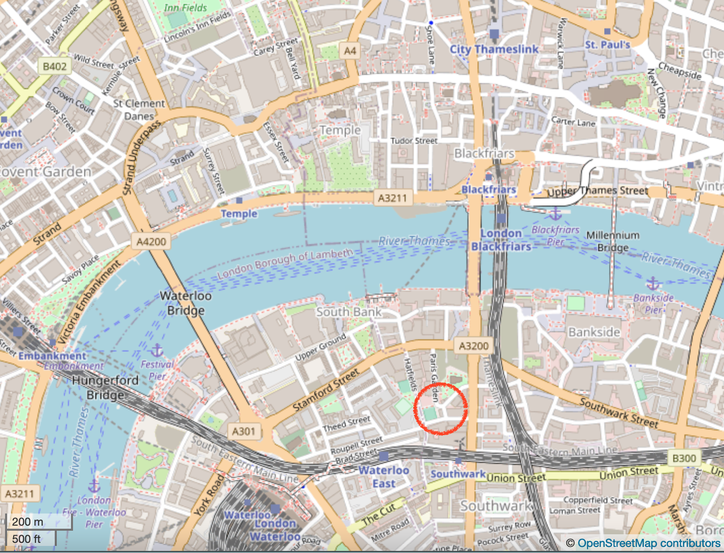
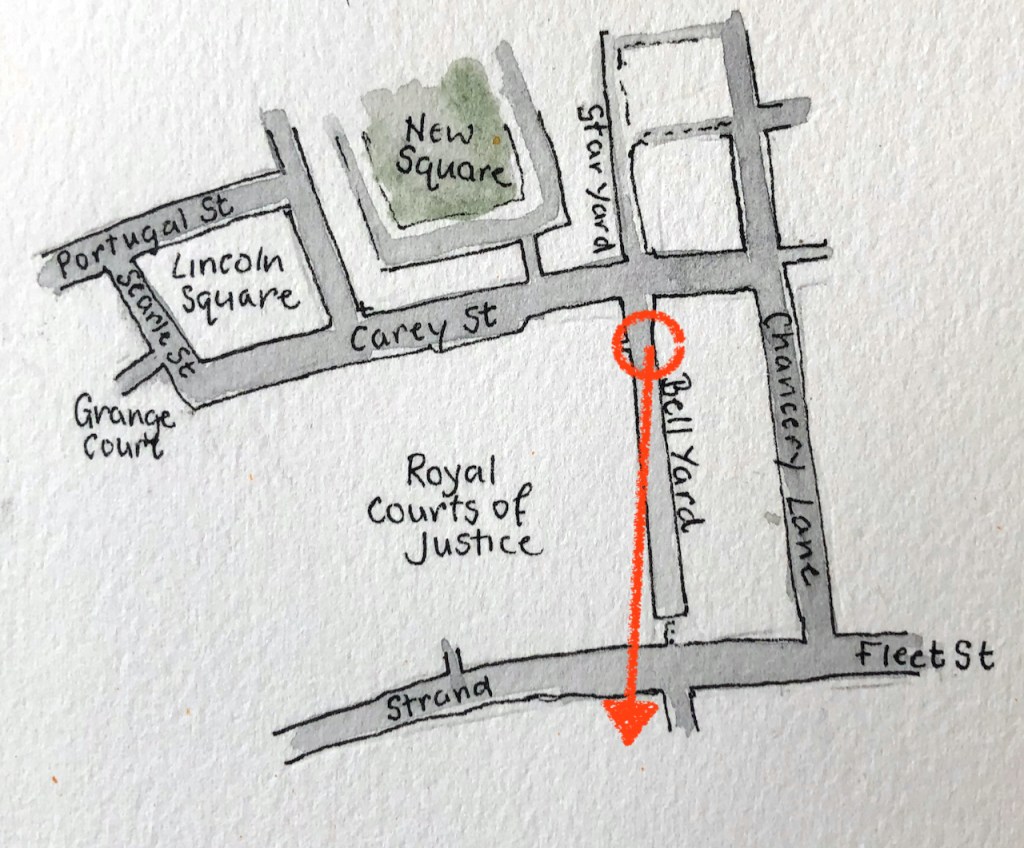
Map (c) Open Street Map contributors.
Sketchbook made by Wyvern Bindery, Hoxton.
Click a button below to share this post online, email it, or print it:
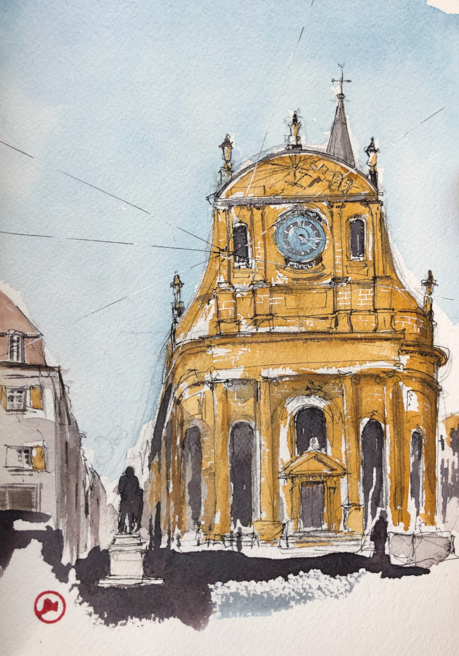
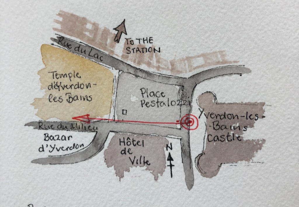
Here is a view from a bench in the main square in Yverdon-les-Bains, Vaud, Switzerland.
Temple d’Yverdon-les-Bains, 27 October 2021, 3.30pm, 10″ x7″ in Sketchbook 11
This is a protestant church, built in 1757. The wonderful yellow stone is from Hauterive in the canton of Neuchâtel.
On the left you see the statue of Johann Heinrich Pestalozzi, for whom this central square in named. He lived 1746-1827. He was an educator, and established the idea that the process of teaching needs to be thought about. He was an early practitioner of the study of teaching: pedagogy. This is why on his statue there are also children.
Pestalozzi’s idea was “Learning by head, hand and heart”. He thought that education was a good idea, in general, for everybody, including the poor. It was good for people as individuals, and good for society in general. Education meant people contributed more, were healthier and happier, and generally better citizens. [My paraphrase of what I’ve read on the website of the JH Pestalozzi Society and elsewhere]. This all sounds very modern. The current ideas of “child-centred learning” for example, can be traced back to Pestalozzi, I read, as well as the concept of state education.
He initiated the Pestalozzi Children’s villages in Switzerland and elsewhere, specifically to help the poor and displaced. This work is still continuing as Pestalozzi World.
So Pestalozzi was a very influential person.
The lines in my drawing are wires suspended across the square for hanging banners and decorations. I like to think they also symbolise the rays of hope that education brings.
Later note:
Above the clock is the Latin inscription: SUPERNA QUAERITE
This roughly translates as “Seek higher things” or “Enquire upon matters of a higher order”.
It occurs in the Letters of Paul to the Colossians, Chapter 3 verse 2, which is rendered in my St James’ Bible as:
If then ye were raised together with Christ, seek the things that are above, where Christ is, seated on the right hand of God. Set your mind on the things that are above, not on the things that are on the earth.
Or if you prefer the Latin, from “Novum Testamentum Domini Nostri Jesu Christi”(“The New Testament. A Latin version prepared by Theodore Beza”[2010], via GoogleBooks):
Itaque si resurrexistis cum Christo superna quaerite ubi Christus est ad dextrum Dei sedens. Superna satagite non terrestria.
Below the clock are the Roman numerals: MDCCLV
1000+500+100+100+50+5 = 1755
Click a button below to share this post online, email it, or print it:
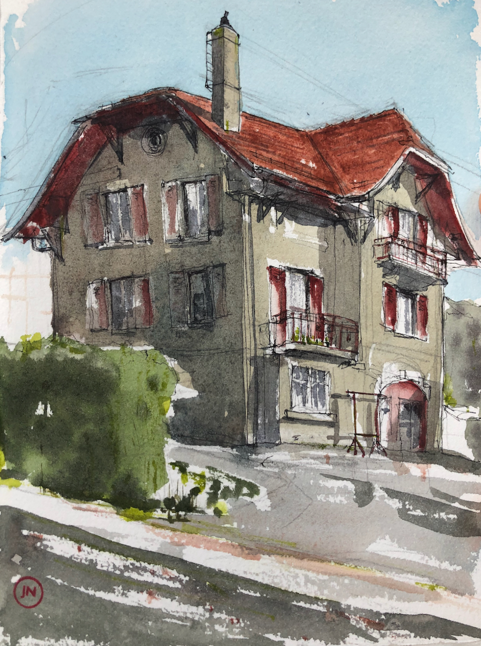
Here is 23 rue du Petit-Montreux, Sainte-Croix, Vaud.
23 rue du Petit-Montreux, Sainte-Croix, Vaud 24 October 2021, 10″ x 7″ in Sketch book 11
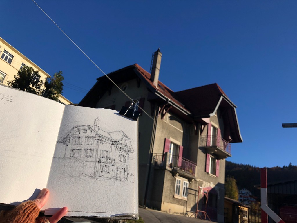
I sketched this house after breakfast. The sun was bright and I rushed out into the crisp morning. It took me about one hour and 15 minutes outdoors, and then I completed it in my hotel room. The outside air temperature was 20 C.
A few pencil lines
Pen and ink
Pen and ink done
Work in progress on the colour
Looking east to the house
Perhaps I should draw the scene looking the other way too?
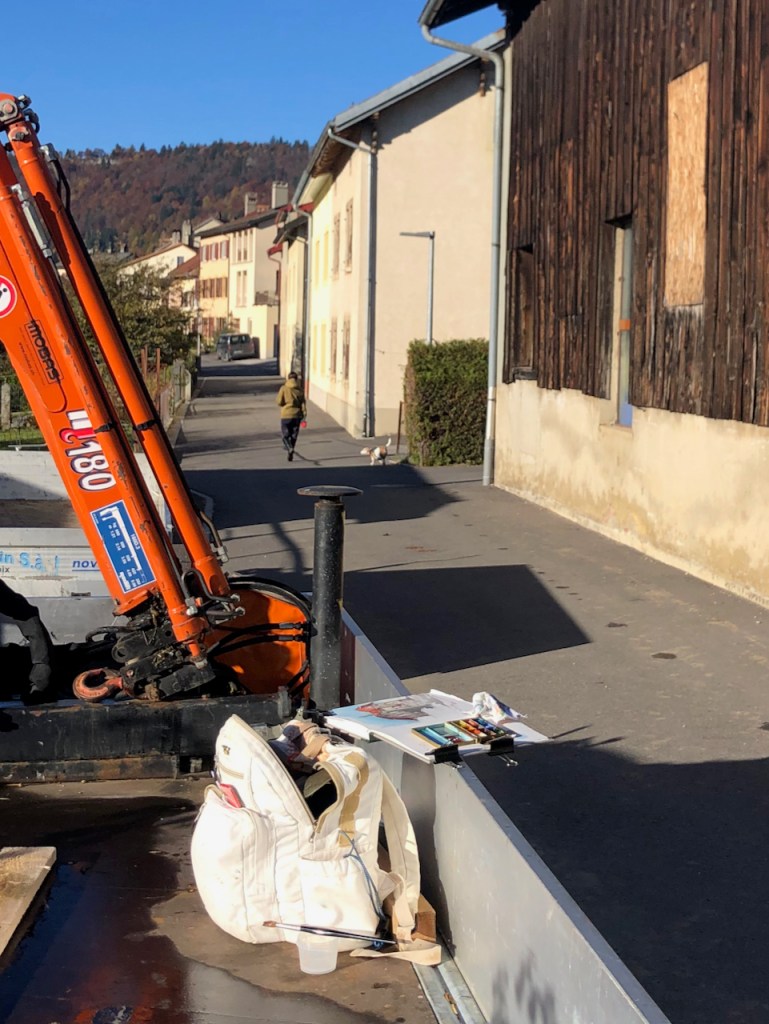
Work in progress in rue du Petit-Montreux
“…the ladder that goes up the chimney…”
I particularly admired the ladder that goes up the chimney. So practical.
The sky is Phthalo Blue Turquoise, with some Lavender. The roof is mostly Fired Gold Ochre. The house walls, and the road, are a mix of Phthalo Blue Turquoise and Perylene Maroon, with a bit of Transparent Brown Oxide and Buff Titanium. The shutters are a mix of Fired Gold Ochre and Perylene Maroon. The hedge is Sap Green with those other colours mixed in to make it darker.
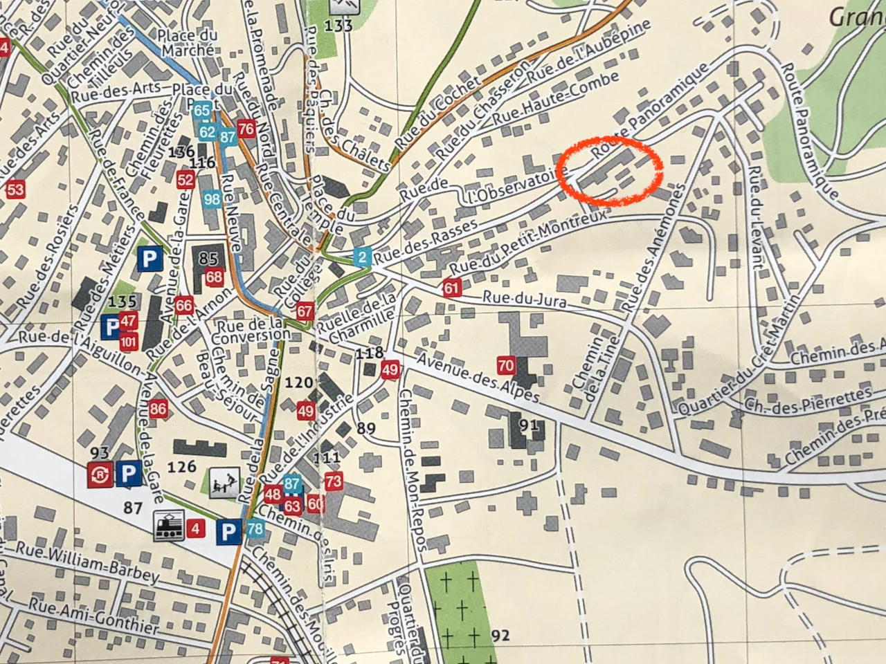
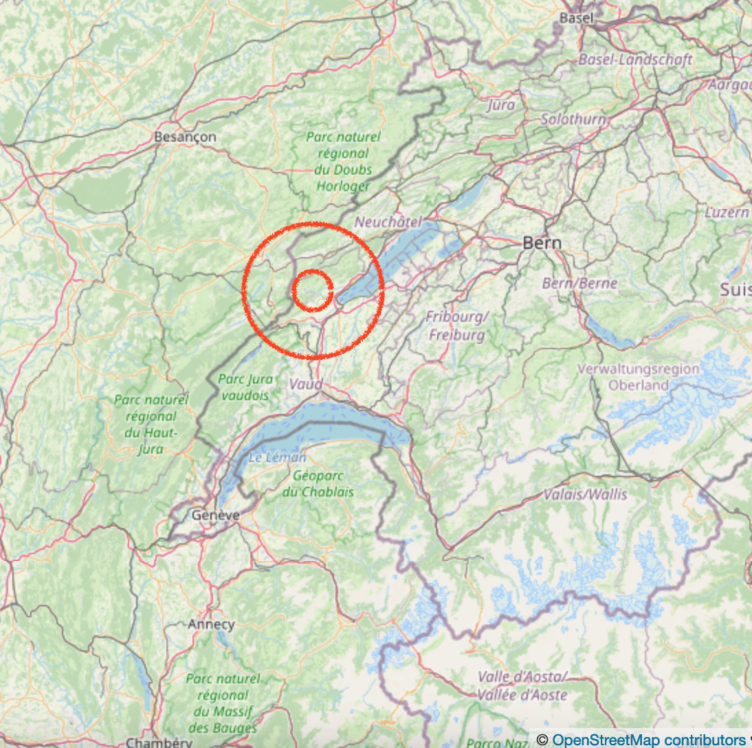
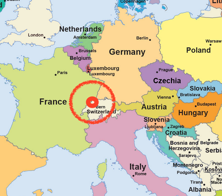
Here are some maps:
Click a button below to share this post online, email it, or print it:
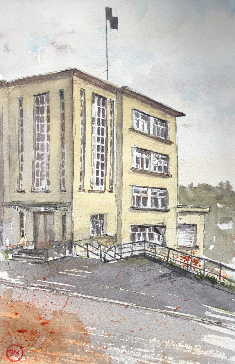
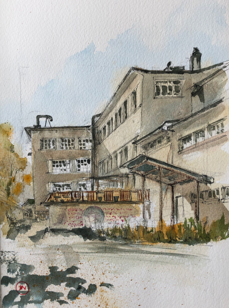
This building is on the Rue des Rasses, in Sainte-Croix, Vaud, Switzerland. For maps, see end of this article.
26 rue des Rasses, Sainte Croix, Vaud. Front entrance. 20 October 2021 in Sketchbook 11
There is much that is interesting about this building: there is the building itself, a 1930s marvel, there are the original occupiers, and there are the current occupiers.
The building was constructed in 1929-1930 as a factory for Reuge, the music-box makers. Reuge had already been operating for some 55 years by that time, starting with a pocket-watch shop in 1865. The factory operated for 85 years, until 2015, then they moved production to another site. Here is a picture of the factory fully operational, from a Reuge publication dated 2007 1
In June 2016, Reuge still owned the building, even though they’d moved their production out. They still used the wood-panelled showroom to demonstrate their music boxes. Here are some pictures from when I visited the empty building at that time:
Music box demonstration room
Former Reuge Factory, visit June 2016
Since around November 20193 the building has been occupied by a group called “le Baz”. They are a self-governing collective, who have created a “ZàB” in the former Reuge building. “ZàB”, their website2 explains, stands for “Zone libre à Bâtir”:
C’est une zone autogérée d’expérimentation, d’émancipation, de solidarité et de lutte, et pas un espace de consommation passive. Elle est ouverte à toutes et tous à toute heure décente. Et ce pour souffler, partager, apprendre ou transmettre de manière spontanée. Toute personne présente devrait pouvoir répondre à vos questionnements concernant le fonctionnement. Tout comme vous, elles ne sont ni responsables, ni programmateurices, ni animateurices, mais ni plus ni moins que les acteurices d’une création collective.
It is a self-organised space for experiment, emancipation, solidarity and struggle, and not a place for passive consumption. It is open to everybody, at any reasonable time. It’s where you can breath, share, learn or communicate at will. All the people here should be able to answer your questions about how it works. Just like you, they are not the managers, nor the schedulers, nor the facilitators, but no more and no less than the participants in a collaborative creation.
[My translation]
I took them at their word, and showed up at an “heure décent”, which as it happened was about midday. As I hesitated in front of the door, a young man asked if he could help me. I said yes, would it be possible to go in? He said yes of course, had I not read the notice on the door? I said I had. But he was already about his business, rushing ahead of me, and had left the door open. So I went in.
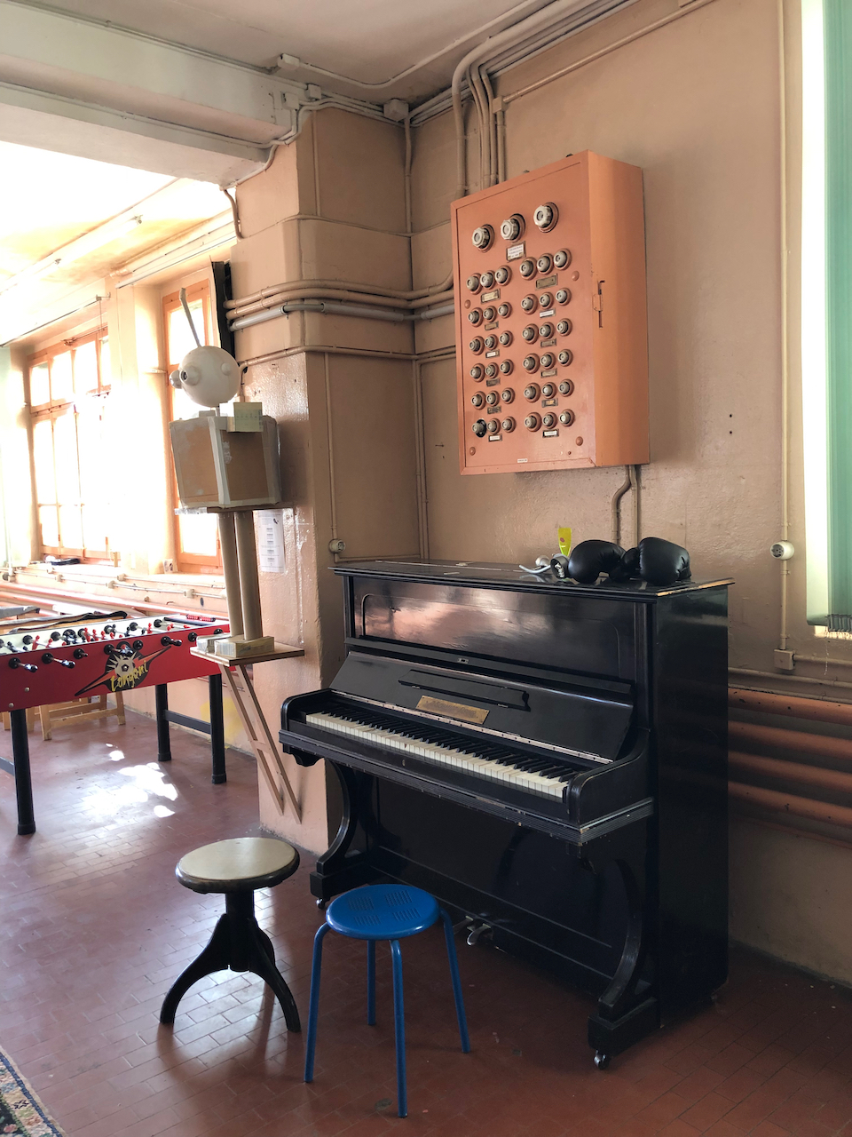
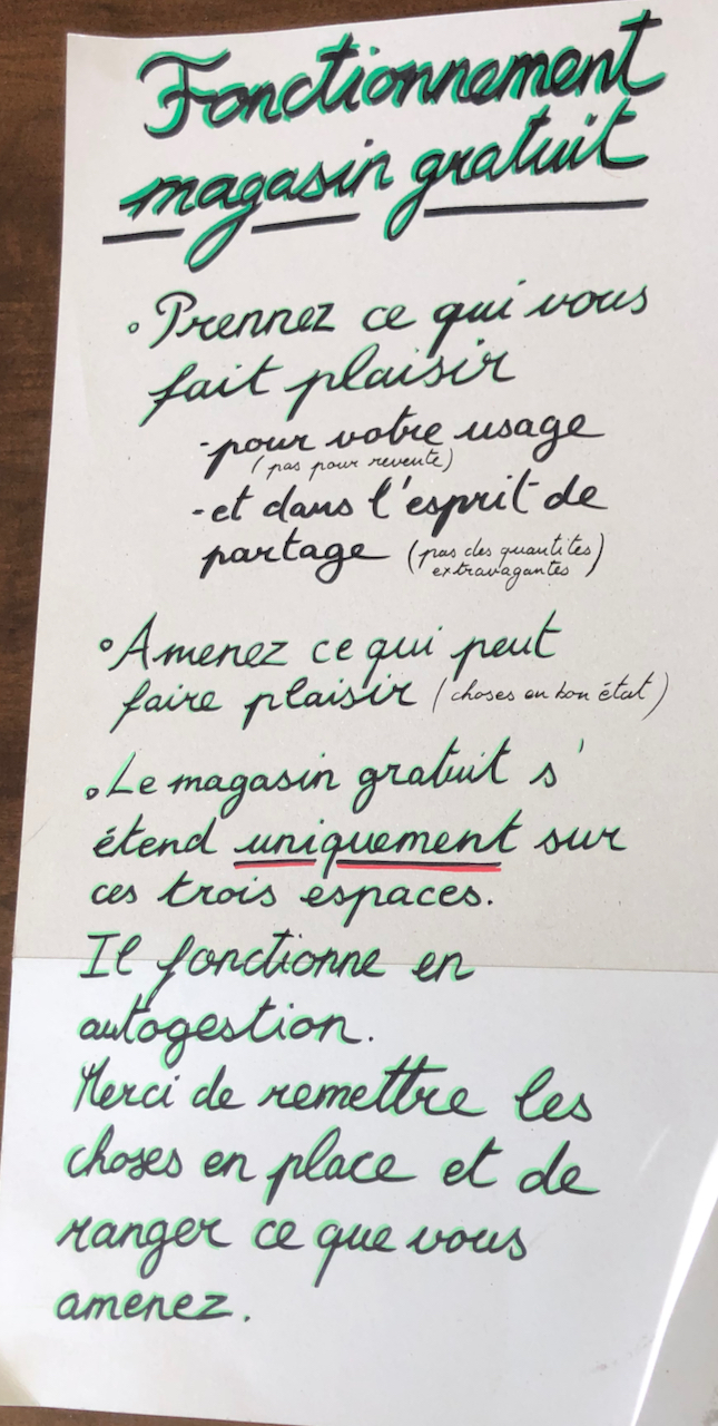
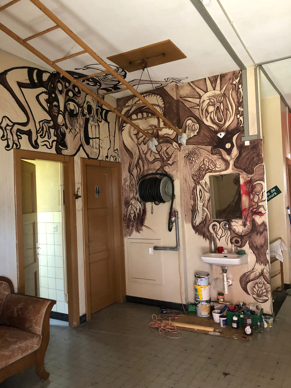
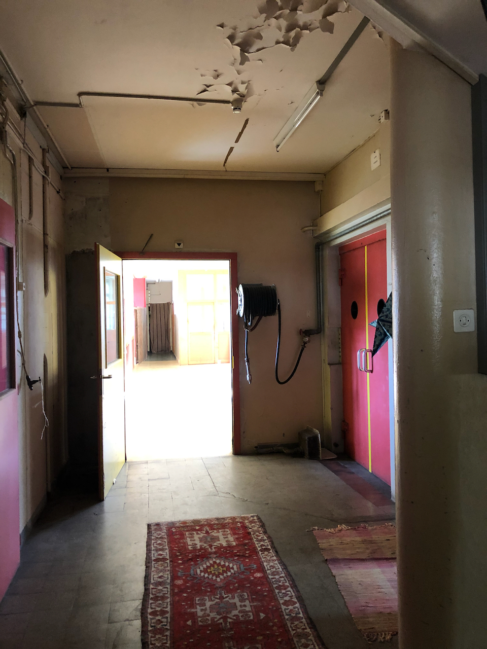
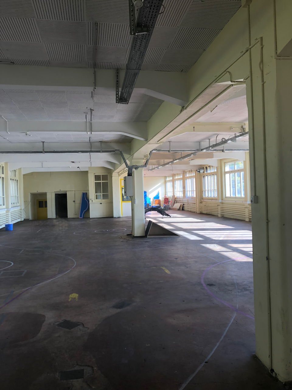
I walked around the empty spaces. It was all clean and organised. Someone had recently been working on the wall murals: there was a smell of paint. There are huge areas of blank wall and vast empty rooms. There is a “magasin gratuit” where you are invited to take what you need or bring goods to donate. A handwritten notice explains how it works.
I didn’t meet anybody.
On the way out, I did meet someone. This was a young woman, who smiled and asked if I was visiting: “Vous faites le tour?” I said yes I was. She recognised me, because she’d seen me drawing, three days previously. We chatted for a bit. She explained some of the history. The town had been opposed to their use of the site. Some people thought we were squatters, she said: “ils pensent qu’on fait le squatte”. But no, she said, we are not squatters. In principle, “no-one sleeps here the night”. And they have the permission of the owner. Well, they had the permission of the owner. But things have changed…. so the situation now is, well, “un peu ambigue”, a bit ambiguous.
She smiled. She liked it there. She said that it was surprising how little one needed, just “les un ou deux trucs” a few things needed for existence.
“And friends,” I suggested.
“Yes,” she agreed, “and friends.” She told me her name and asked me mine. “Come back,” she said, “any time. Boir un café.” And she set off down the slope, towards a young man waiting patiently below, by the collection of wooden outhouses.
Here is the picture I had been drawing when I first met the woman.
26 rue des Rasses, rear entrance (view from the South). 17th October 2021, 4pm. In Sketchbook 11
In this view you can see evidence of the current occupiers. They have built a fence, made of wooden pallets, on top of a concrete platform which is part of the original building. On the concrete wall are inscriptions in a flowing calligraphic script I did not recognise, and a large symbol in a roundel.
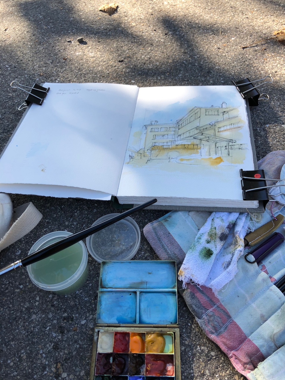
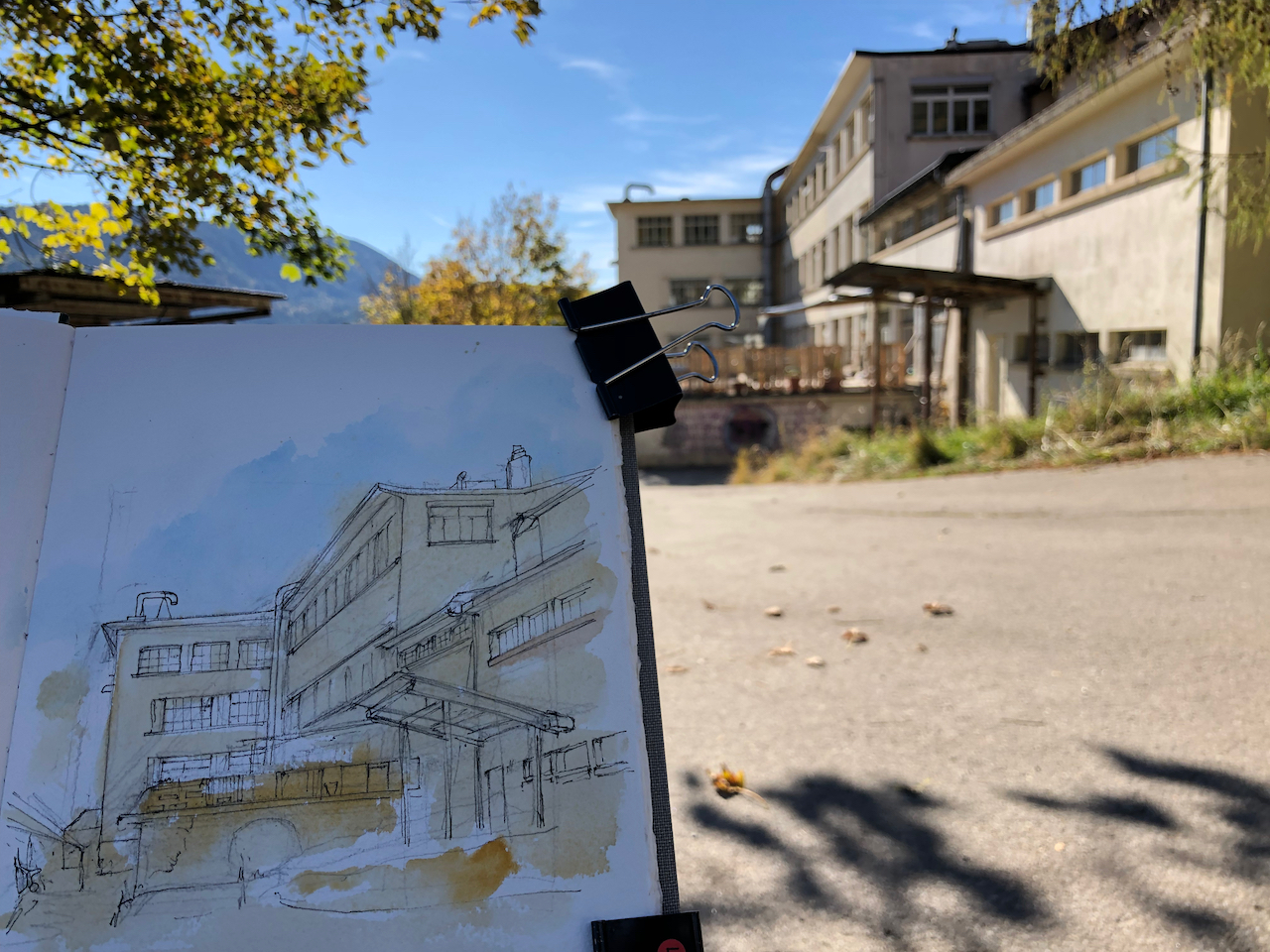
Here are some external views and work in progress on the drawings:
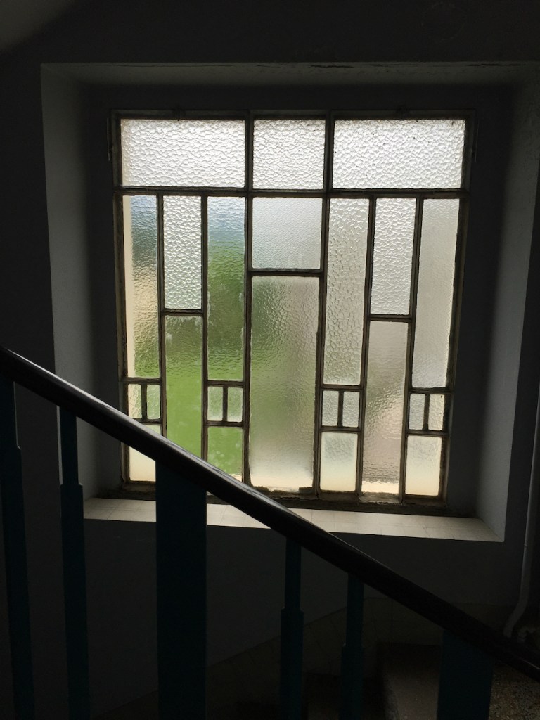
Window from inside, June 2016
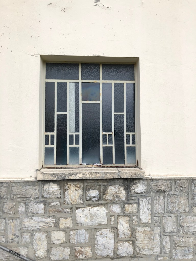
Window from outside, October 2021
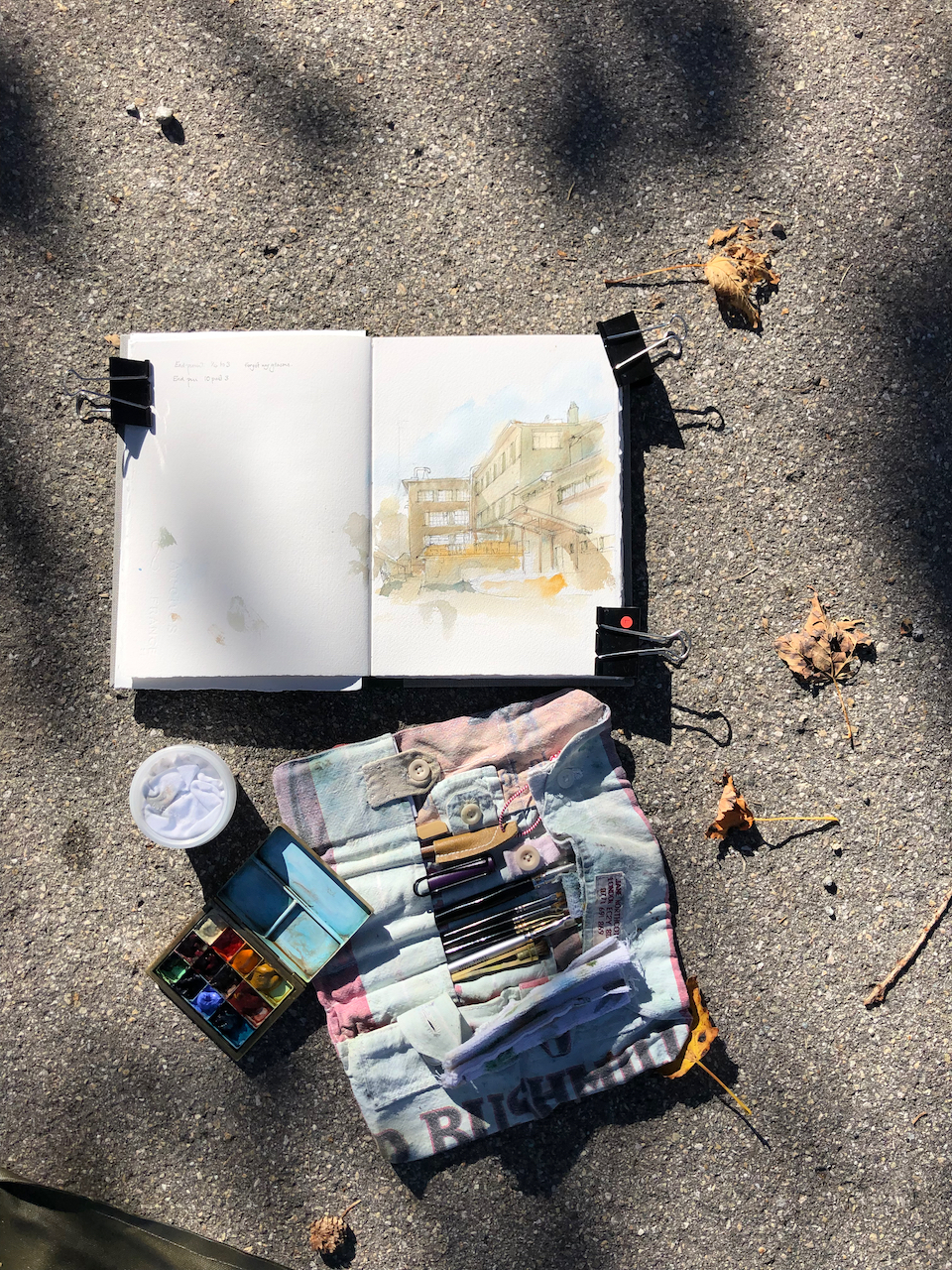
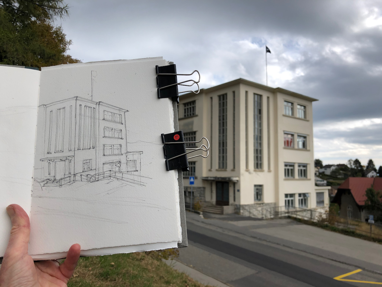
Building exterior, October 2021
Here are maps:
References:
Reuge, the Art of Mechanical Music, Secrets of the Reuge Manufacture, published by Reuge in 2007. Picture of the factory in the snow is from the frontispiece.
Website describing Le Baz, and the Zone libre à Bâtir: https://pantographe.info/ downloaded 22 Oct 2021
The local newspaper <<24 heures>> carries articles about how the current occupiers took over the buildings and disputes between the current occupiers and local residents. See for example the article by Frédéric Ravussin, 22.11.2019, 06h51. These newspapers are available on the marvellous digital resource: Scriptorium from the University of Lausanne.
Click a button below to share this post online, email it, or print it:
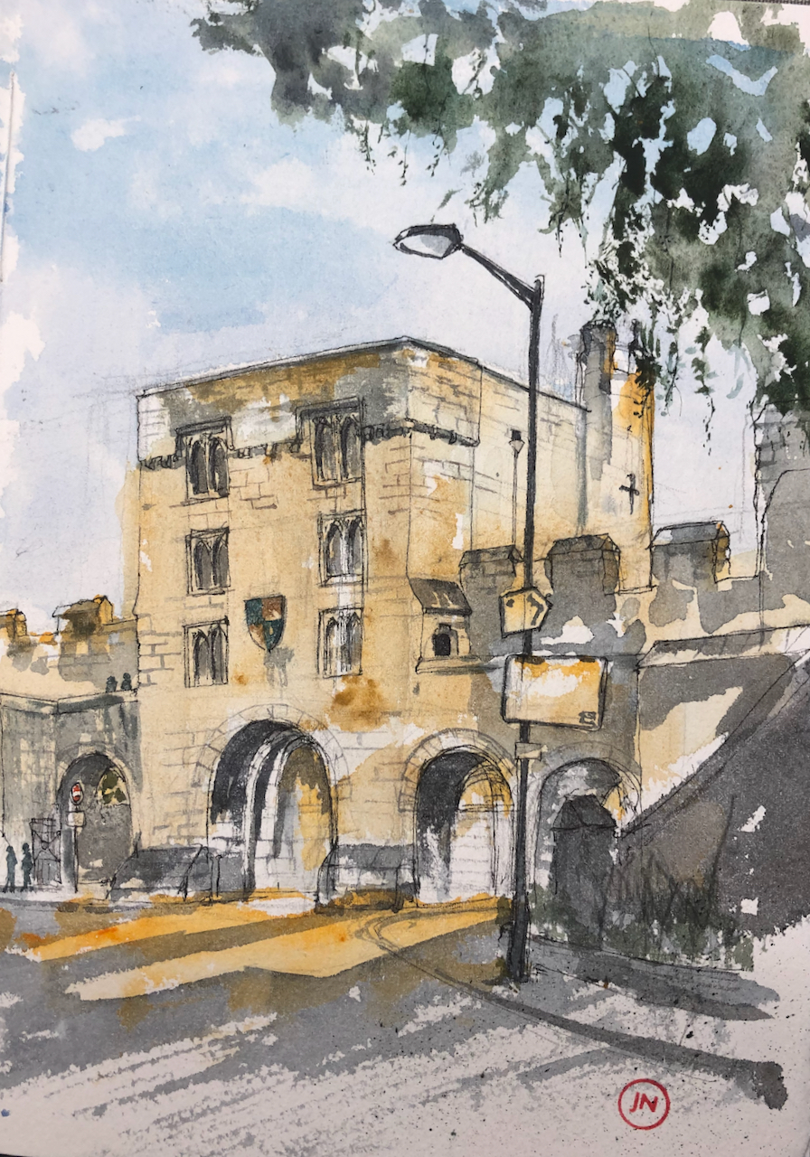
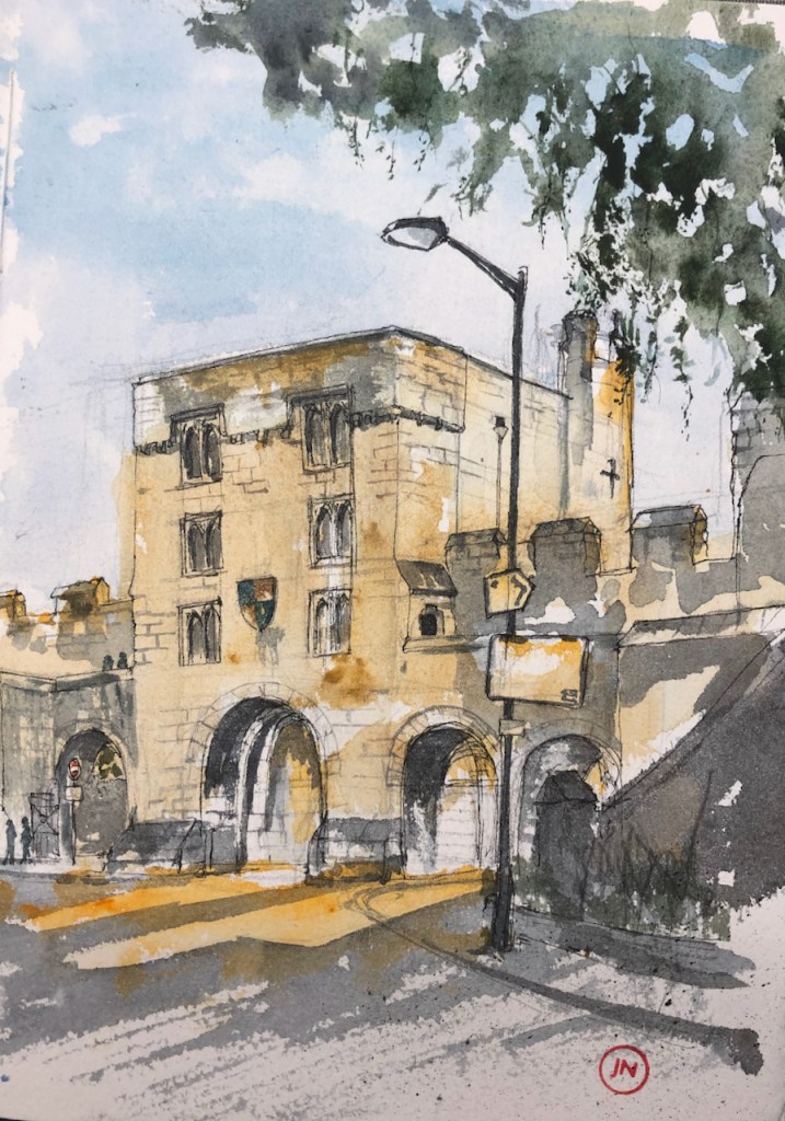
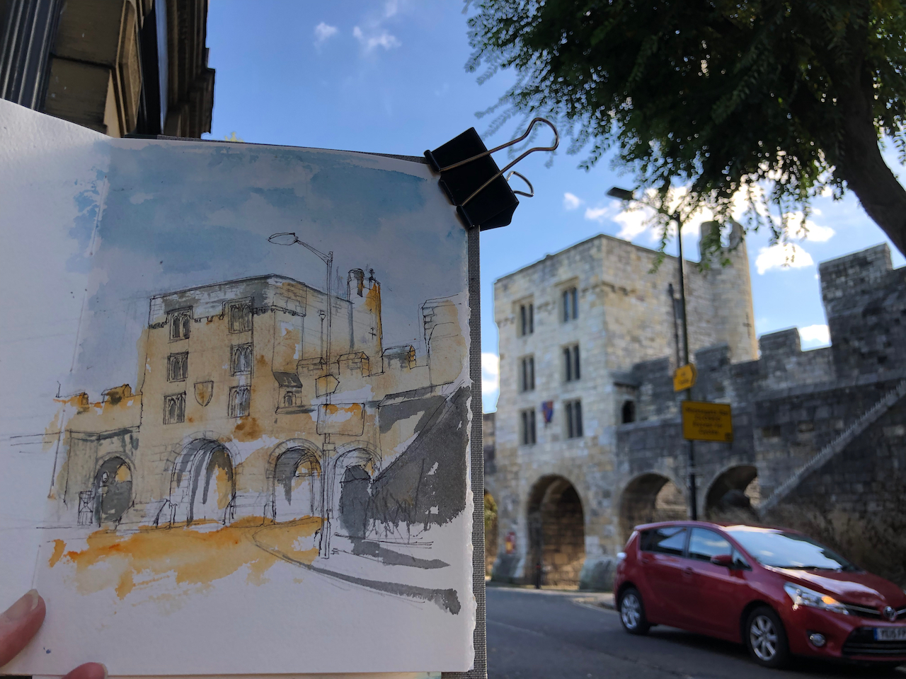
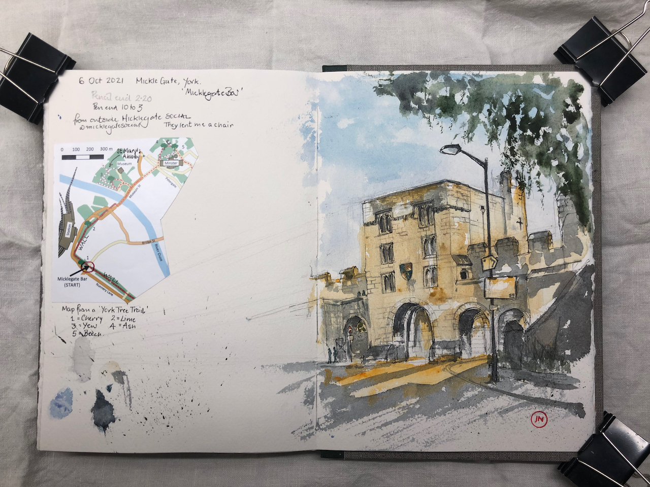
Here is the “Micklegate Bar”, which is one of the great gates through the old City wall into the centre of York.
Micklegate Bar, York, 7th October 2021, 3pm. 7″x10″ in Sketchbook 10
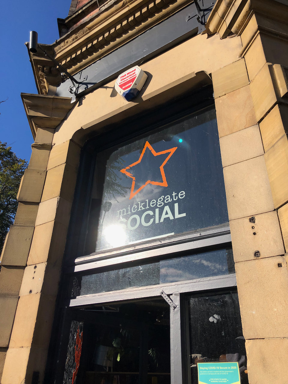
I sketched this outside a bar called “Micklegate Social”. The staff were inside, cleaning and setting up. They very kindly lent me a chair!
The city wall goes off to left and right. I put a two people in, to give you an idea of the scale. They are high up, level with the lowest windows.
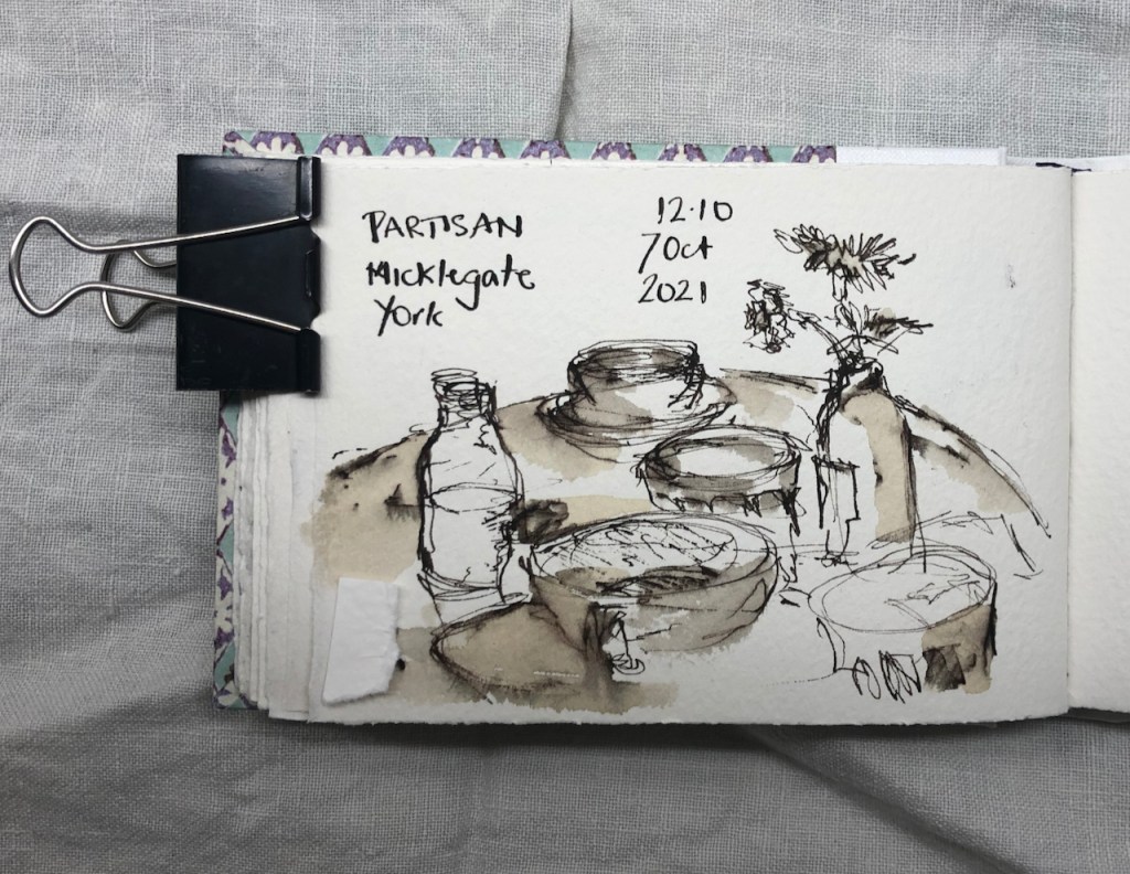
“Micklegate” is the name of a street which heads North from the gate. Later on I had breakfast at “Partisan”, a café just up from Micklegate Bar. Recommended!
Quick sketch at “Partisan”, Micklegate, York, ink and coffee. 6″ x 4″ in a small sketchbook made by Heather Dewick.
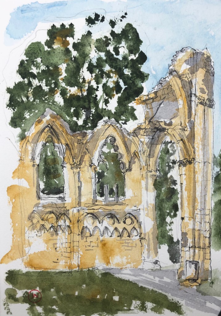
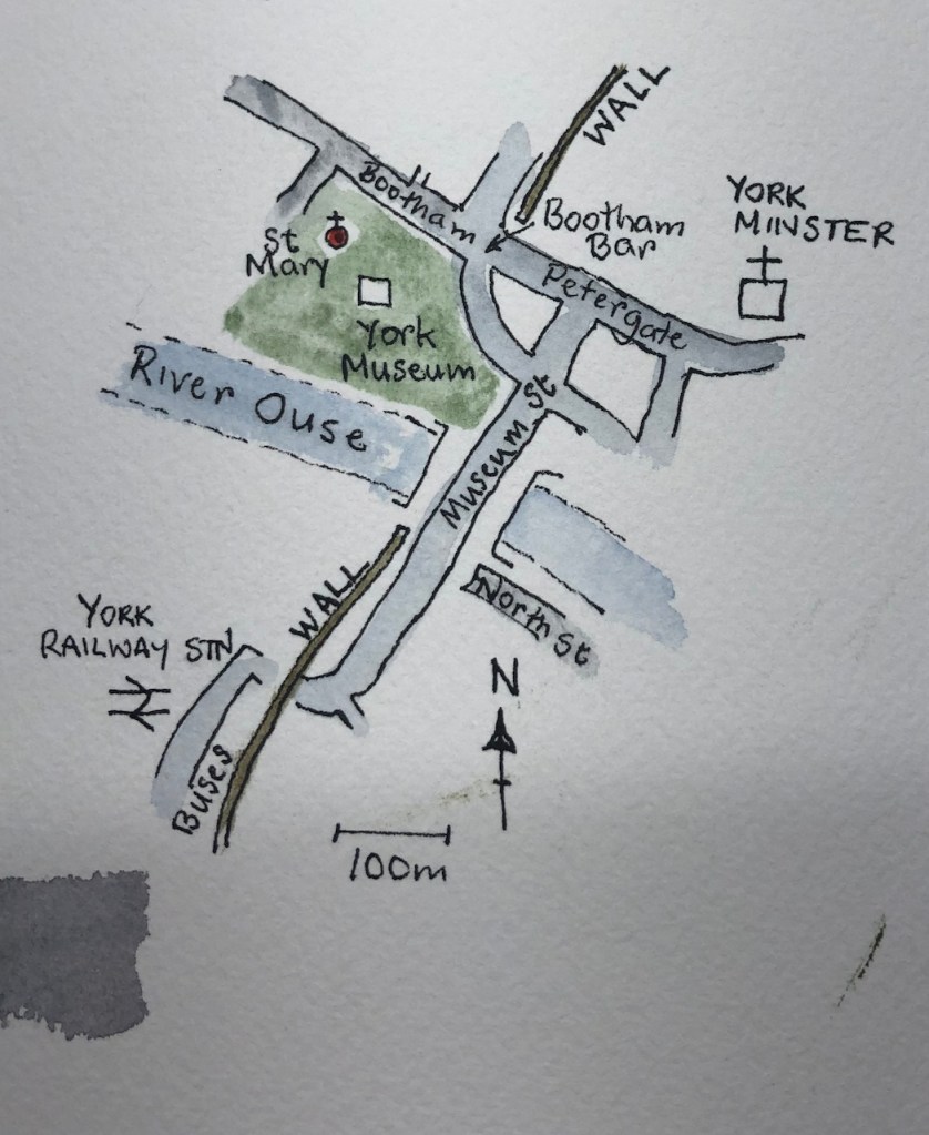
Outside the wall, to the North West, is the park surrounding the York Museum. I made a picture of the ruins of St Mary’s Abbey.
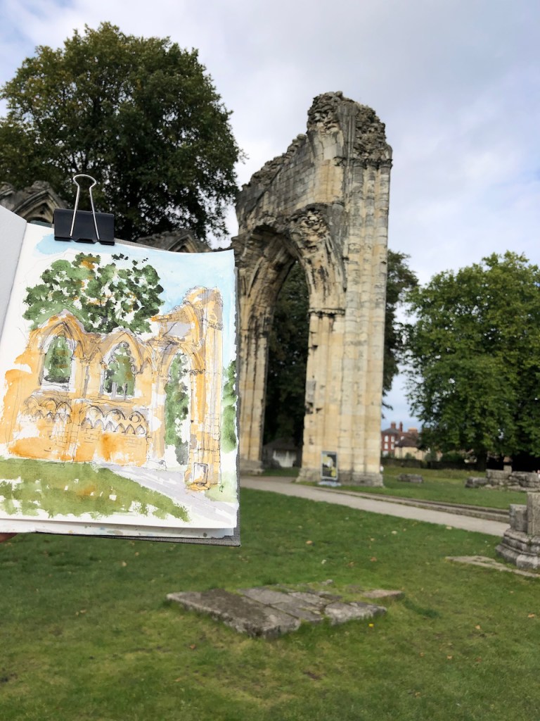
St Mary’s Abbey, York. 7th October 2021 2pm. 1hr 10mins, 10″ x 7″ in Sketchbook 10
The original church on the site was founded in 1055. In 1089, William Rufus, third son of William the Conqueror, laid the foundation stone for the Norman Church dedicated to the Virgin Mary. It was an abbey for the Benedictine monastery on this site. 450 years later the monastery was closed, in 1539, under Henry VIII.
The current ruins are 750 years old. They date from a rebuilding in 1271.
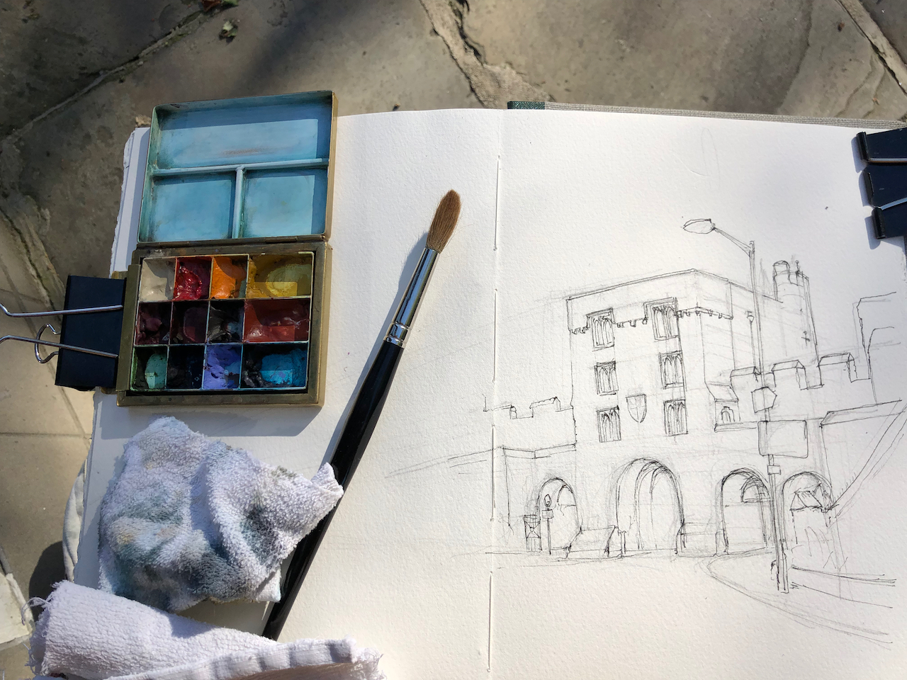
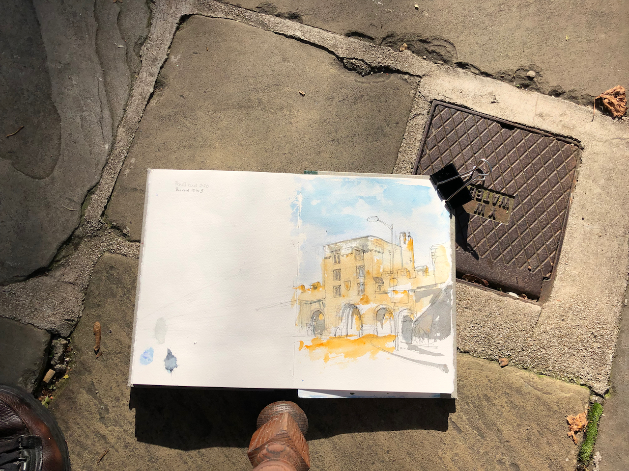
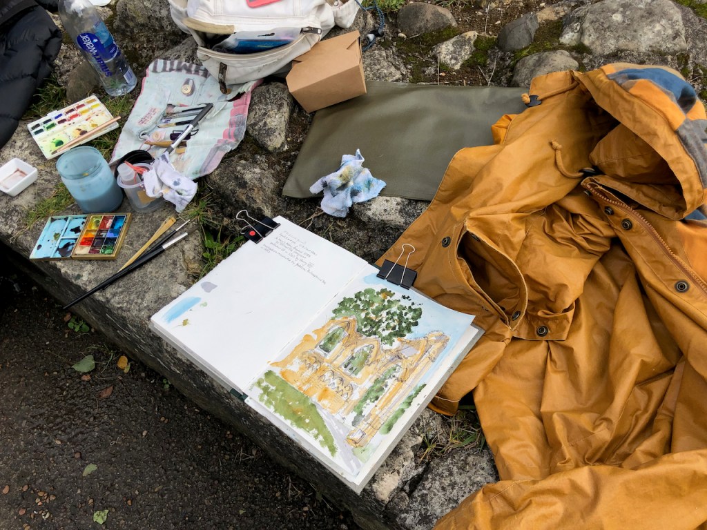
Work in progress on the drawing.
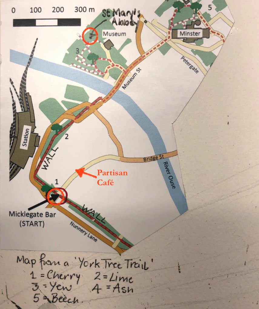
Micklegate Bar, Partisan Café, and St Mary’s abbey
St Mary’s Abbey (top left)
Maps
Click a button below to share this post online, email it, or print it:
In “A London Inheritance” I read a fascinating article about this corner of Cheapside and Wood Street, near St Paul’s Cathedral. When I passed the corner last week I noticed that the shop had closed down. Fearing that this closure would presage demolition of this interesting building, and replacement with a 39-story office block, I rushed to draw the corner shop while I could. It was raining. But I could find a bit of shelter under the glass canopy of M&S in One New Change opposite.
123 Cheapside, from across the road. 2nd October 2021, 10″ x 7″ in Sketchbook 10
This is a very ancient row of shops. The shop on the corner was, from before 1908 and until at least 1986, L.R. Wooderson Shirtmakers. In recent years it has been “Cards Galore”, but is now closed and the windows are obscured with brown paper.
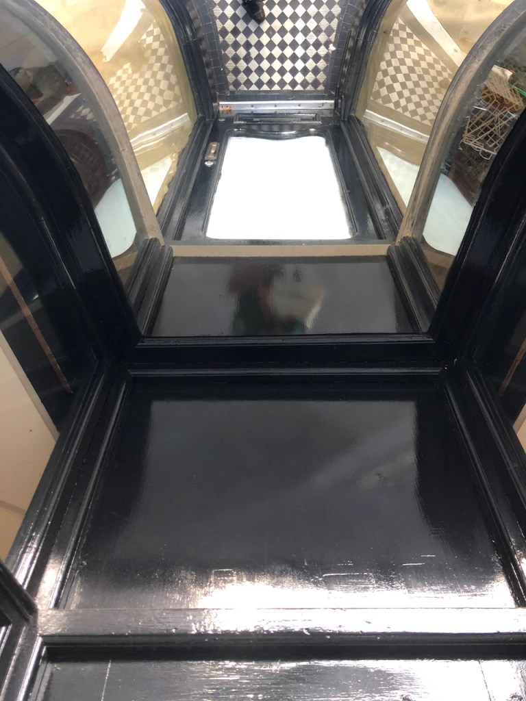
The corner shop is a wonderful little building. I especially admire the curved glass of the two windows either side of the door, which seem to invite you in. Curved glass windows are rare, especially at street level, so these deserve recognition and admiration. Even more amazing is the mirror on the ceiling! If you step between the curved glass windows and look up, you see that this entrance space is reflected in a mirror. Perhaps this was a device so that if needed, you could see your newly purchased shirt or hat from above?
Entrance to 123 Cheapside
Mirror above the door
Reflections in the mirror
L.R. Wooderson is shown in a London Metropolitan Archives photo from 1908 (below). The author of “A London Inheritance” photographed it 78 years later, in 1986. In his 1986 photo, the notice on the side of the shop says “Est 1884”. He has further information about L.R. Wooderson and the Wooderson family on his blog entry, and there’s yet more information in the comments on his article.
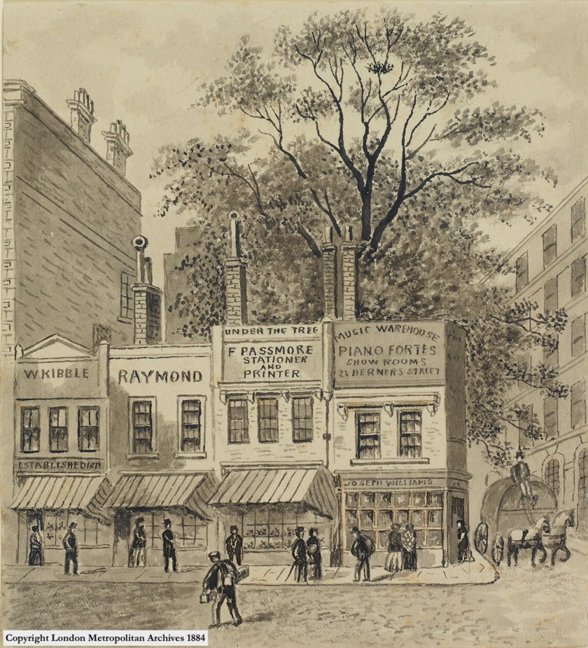
Here’s the same row of shops circa 1870, showing a predecessor of L.R. Wooderson.: Joseph Williams, seller of “pianofortes”, with a warehouse in Berners Street in the West End.
You see that “F. Passmore Stationer and Printer”, describes itself as “under the tree” – see the notice high up on a hoarding. This huge plane tree is famous, and at that time clearly famous enough to help in locating the shop. The commentary on the 1908 photo (above) in the London Picture Archive says:
124 Cheapside, City of London, by Wood Street. Front and side elevations of a two-storey shop, L & R Wooderson hosiers. In view is a street lamp. Towering above the premises is a Plane tree. The tree sits in the churchyard of St Peter Cheap. It’s thought the tree could date from the 1760s and is currently protected so can’t be cut down. The church of St Peter Cheap perished in the 1666 Great Fire and missed out on being rebuilt by Sir Christopher Wren.
There is much more about the tree in an article on the “London Walking Tours Website” on this link.
I was interested to note how the tree size changes. In the 1870 drawing it is already huge. 40 years later, in the 1908 photo, it seems smaller, and more compact. I wonder if it was pollarded? Today it is again enormous. Here are the photos above again, with a modern picture to compare.
1870 (c) London Metropolitan Archives
1908 (c) London Metropolitan Archives
2021
The tree is large, then more compact, and now large again.
It remains famous. It is no. 1 in the “Top Ten Trees” of the City of London according to the “Friends of City Gardens”.
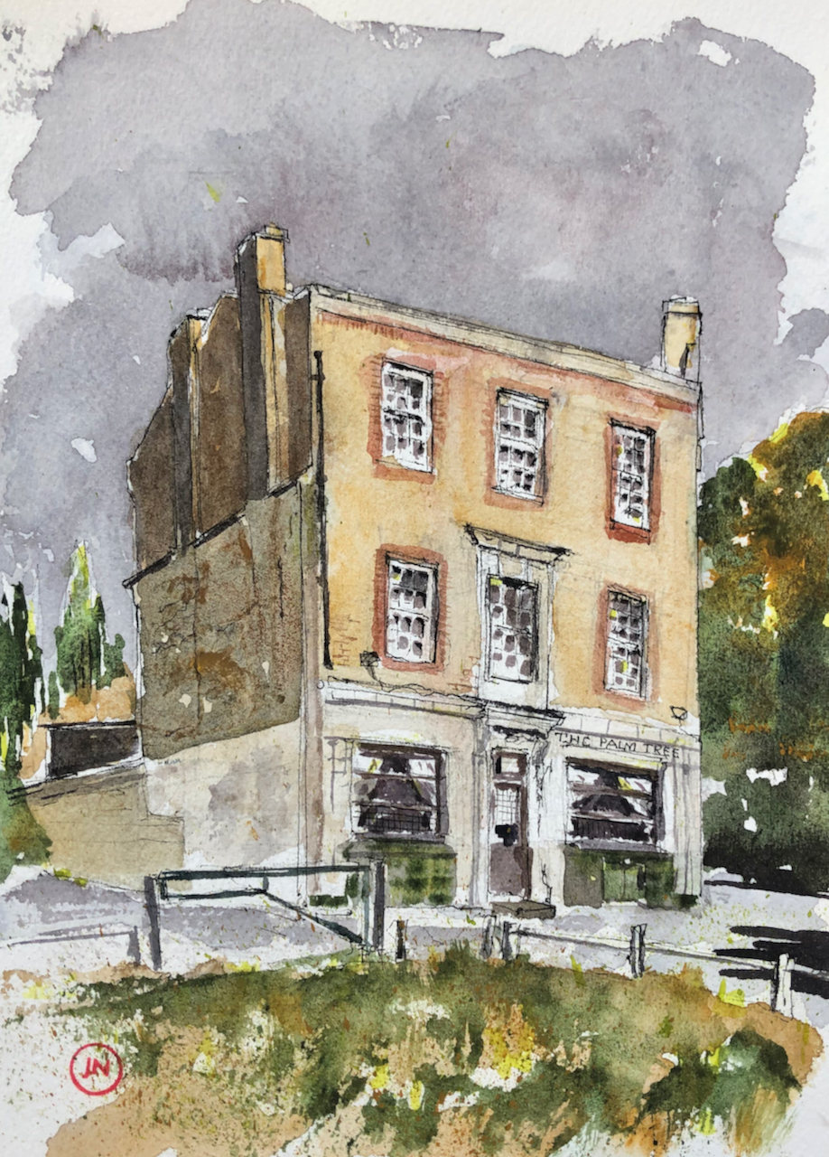
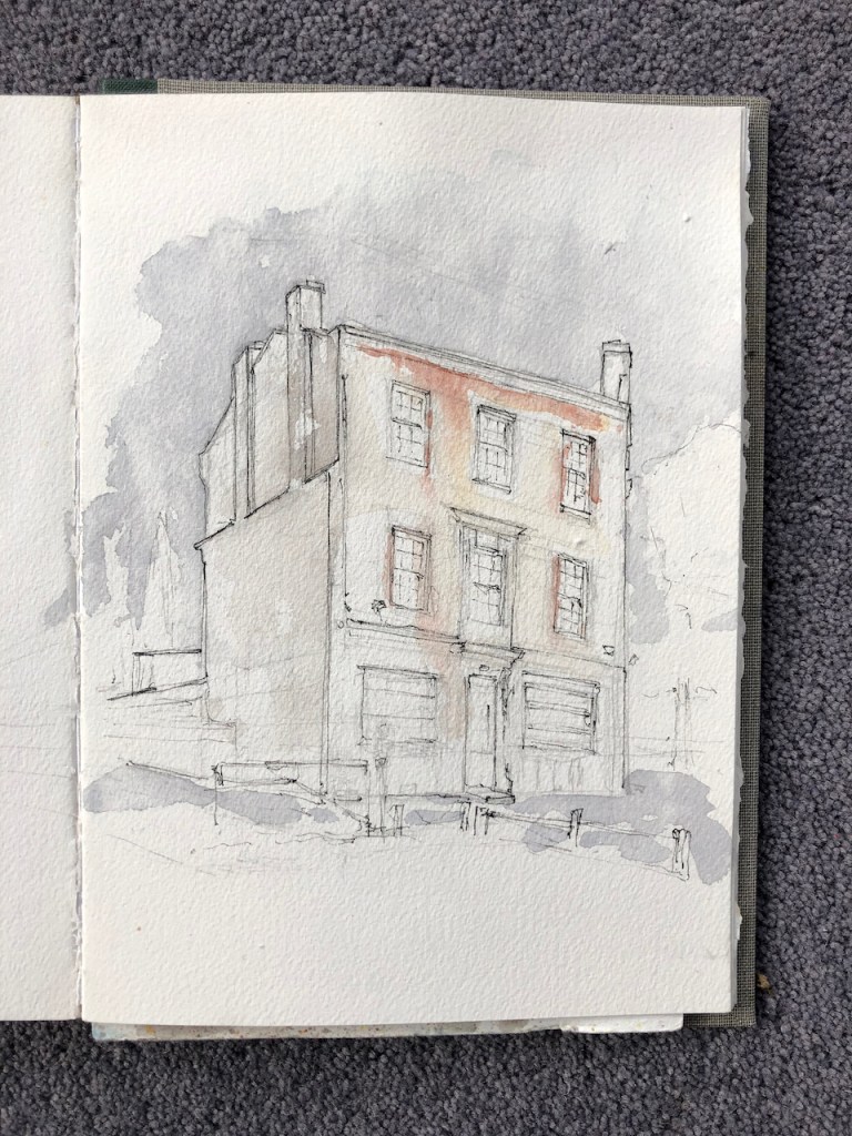
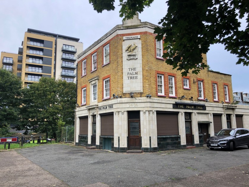
“The Palm Tree” 127 Grove Road, Mile End, London E3, 28th September 2021, 10″ x 7″ in Sketchbook 10
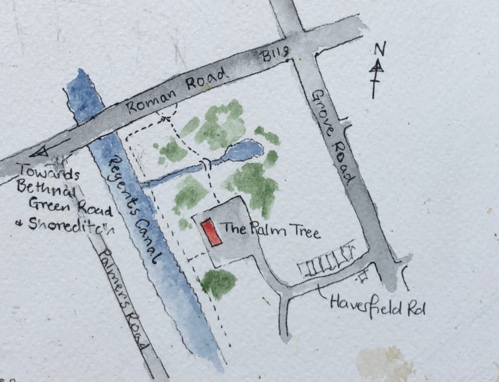
I have often puzzled about this pub. I pass it as I’m cycling or running on the Regent’s Canal towpath. It stands alone, in a field of green, strangely isolated. Has it always been like that?
The Palm Tree stands isolated by the Regents Canal.
The answer to that question is no. It was not always isolated. It used to be surrounded by houses.
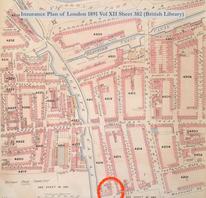
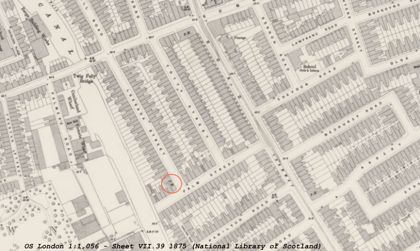
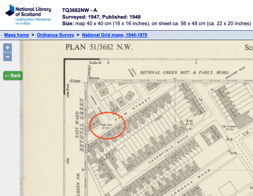
Its Historic England entry (1427142) tells me that when this pub was built, in 1935, it was surrounded by terraces of houses, Palm Street, Lessada Street and Totty Street, which have since vanished. The entry says: “the pub is the final remnant of a once built-up, industrial part of London, destroyed in the Blitz and in subsequent clearances”
Usually, an elderly resident will gesture to dense terraced housing and inform you that “this used to be all fields”. But in this area of Mile End, the reverse is true: this open green area used to be all houses!
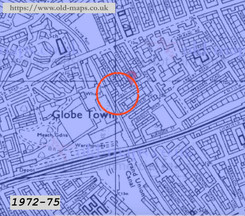
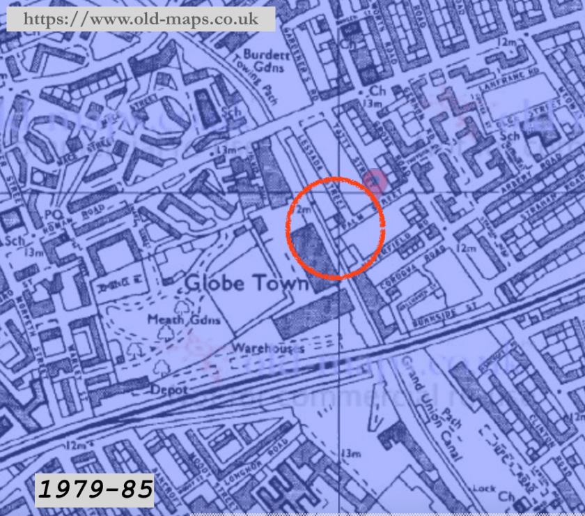
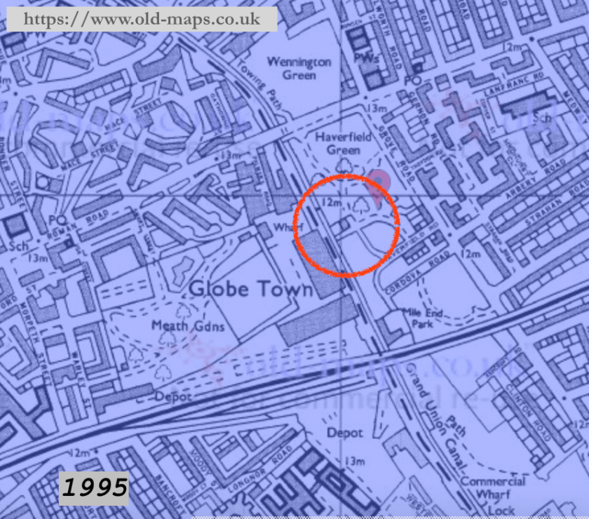
Here are a selection of maps. You see the dense housing and close-packed streets in the late 19th century, damaged by bombs in 1944, and then replaced by pre-fabricated housing in the 1970s. The post-war prefabricated housing was demolished in 1977. In the 1979-85 OS Map, the streets are still there, but the housing has gone. By 1995 it was “all fields”, and the Palm Tree pub stands alone, as it does today.
1891 – terraced housing
1895 – terraced housing – note also the tramlines on Grove Road!
1948 – terraces have gone
1972-5 – now pre-fab housing
1979-85 – houses have gone
1995 – streets have become park
The de-industrialisation of an area. One of the industries in the area was furniture making. The maps show furniture factories and warehouses. The Historic England listing suggests that “Palmers Wharf” on the other side of the canal is named for the palm tree importers, hence the name of the pub and its adjacent street [references for the source of the maps are on the images: click to enlarge]
The reason the pub has an entry in the Historic England listings is that it is Grade II listed. Amongst the many architectural delights described in the listing is the saloon bar:
“The saloon bar, accessed from the furthest door along the north-east elevation, appears to remain almost entirely unchanged since construction. The higher class of the bar is apparent in the fielded dado panelling on the walls and on the curved bar counter; otherwise the internal decoration is similar to the other bars, retaining its bar back, chequered counter edge tiling and chimneypiece[……]A dartboard cabinet, possibly from the original pub, was reinstalled in the late C20. Unlike the public bar, which originally had only gentlemen’s toilets, the saloon was served by male and female toilets (set either side of the fireplace); both of these remain largely unaltered, with original doors and door furniture, tilework and, in the gents’, a Royal Doulton urinal.” [Historic England Listing number 1427142]
Reason enough to visit the pub when it is open!
Part way through this sketch it started raining, then the rain became heavy. I finished the sketch at my desk.
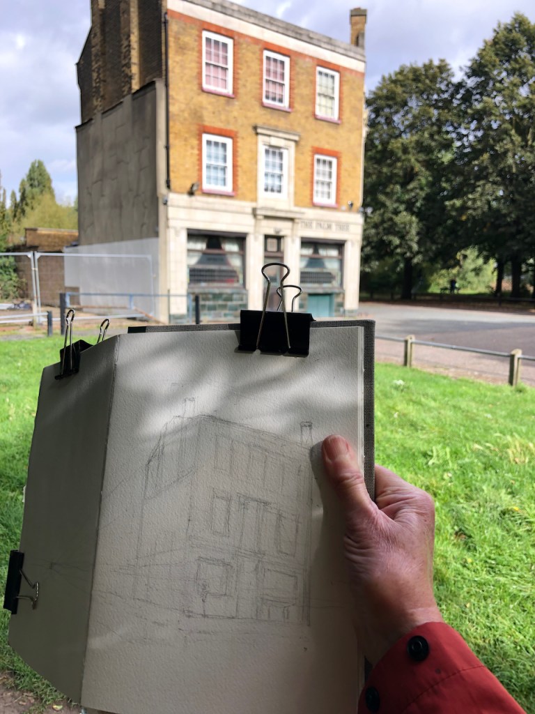
Starting the sketch in the sun
Washed out picture, still damp, when I reached home.
The main colours are: Mars Yellow for the brickwork and plants, Fired Gold Ochre for the reddish brickwork, Perylene Maroon and Prussian Blue, plus some Mars Yellow, to make the greys, and Green Apatite Genuine for the darker greens of the trees, with highlights of Green Gold. There’s a bit of Buff Titanium for the whitish tiled part on the ground floor. All colours are Daniel Smith watercolours.
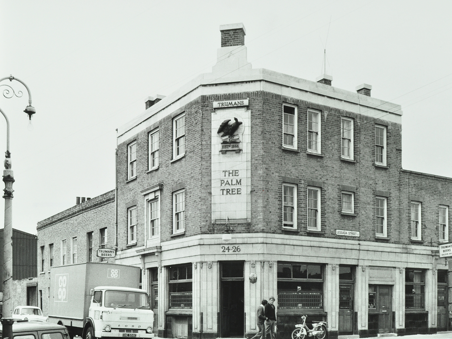
Thanks to the staff and curators at London Picture Archive, I can add this marvellous photograph of The Palm Tree in 1971:
Note the street sign: “Lessada Street” on the right which has vanished, and the brick block at the back on the left which has completely gone, as has the wonderful lamp-post.
Apart from that, it’s not very different. All around it has changed.
“The Palm Tree” from the North, 2nd Oct 2021
Click a button below to share this post online, email it, or print it:










































 Jane Sketching