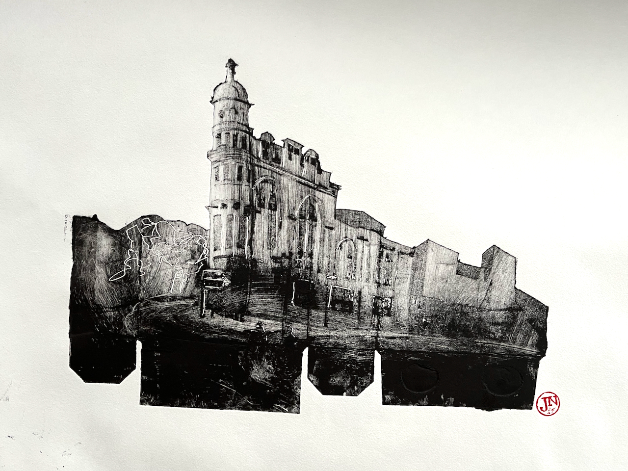
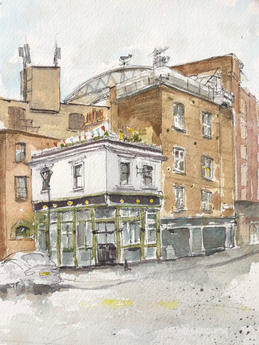
The Boston Arms is in Tufnell Park, London, 178 Junction Road N19. I love the way this building presides over the junction.
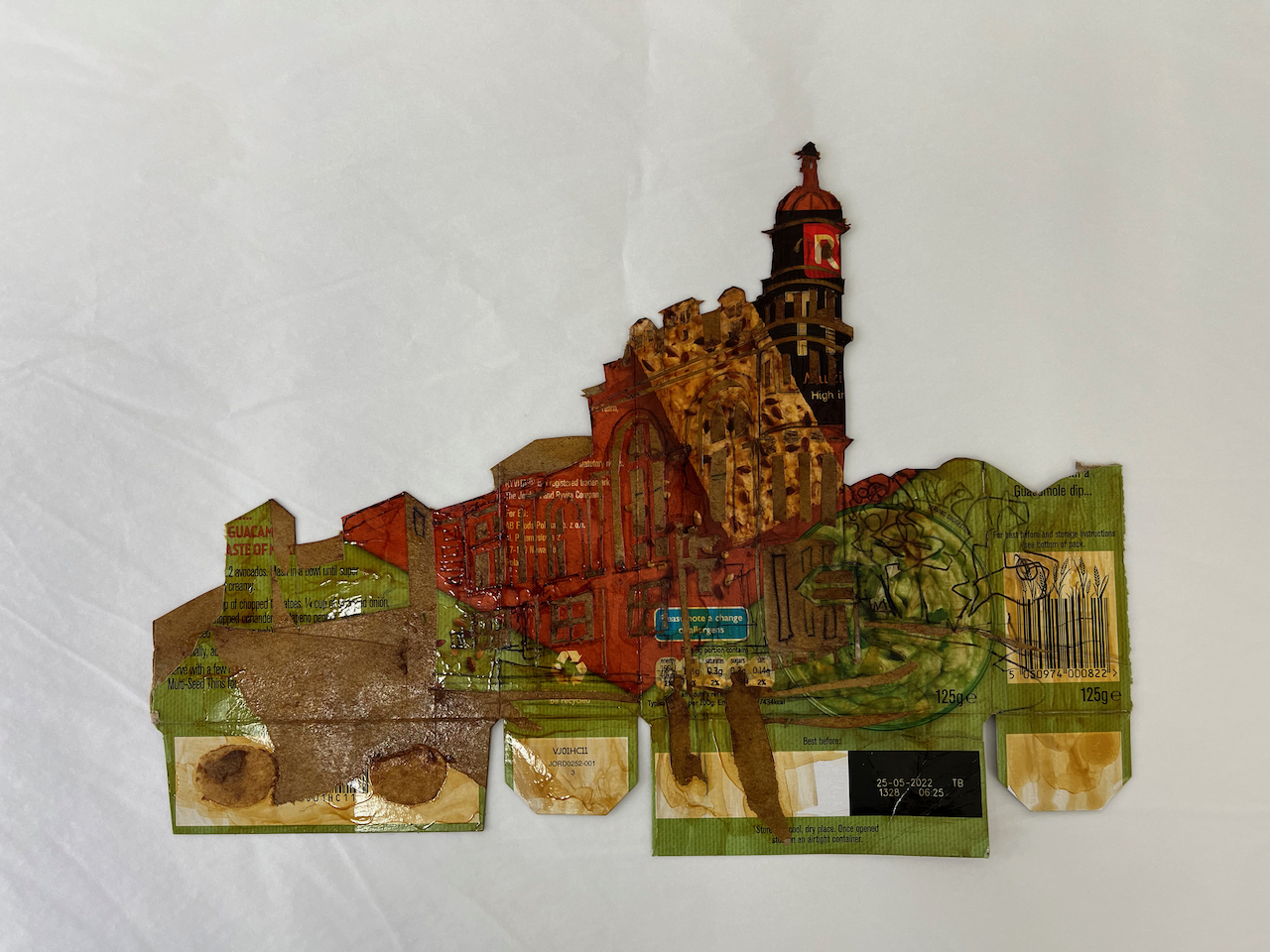
Boston Arms monoprint 1, packaging print, paper size 21″ x 17″, on Shiramine Select Japanese paper
This is one of five prints I made with this plate made from a cardboard box of biscuits, experimenting with the “packaging print” technique.
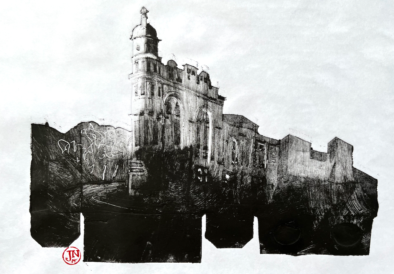
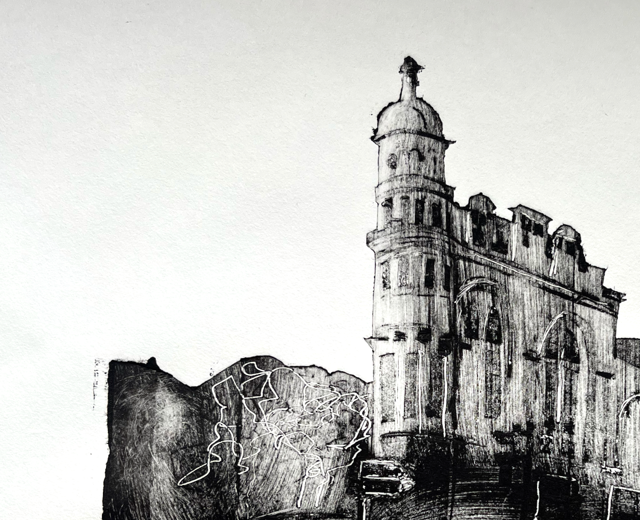
The technique produces a twilight atmosphere, which I like very much, and seems suitable for a pub in winter. Here is a different print using the same plate.
Boston Arms monoprint 2, packaging print, paper size 14″ x 10″ Awagami Washi Masa Japanese paper
The Boston Arms is a Grade II listed building. The listing says “Dated 1899 in a panel on the Junction Road front. Designed by Thorpe and Furniss”, and goes on to describe its “Corinthian pilasters to the flat frontages, engaged Corinthian columns to the bow, all of black polished granite, supporting a fascia; scrolled pediments over former entrances with subsidiary pedimented panels between the scrolls,…”. It concludes on rather a flat note: “The interior has no original features of interest.”
It looks like a good pub. I’ve passed it lots of times, usually on an early-morning run, but I’ve never been inside.
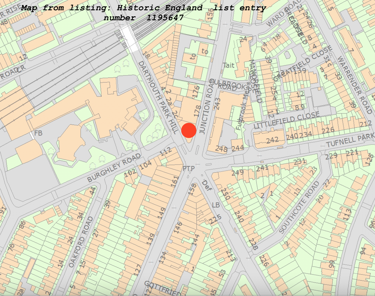
Here is the map from the listing, showing the location:
Location of the Boston Arms (Historic England, listing)
Here is the plate from which I made the prints:
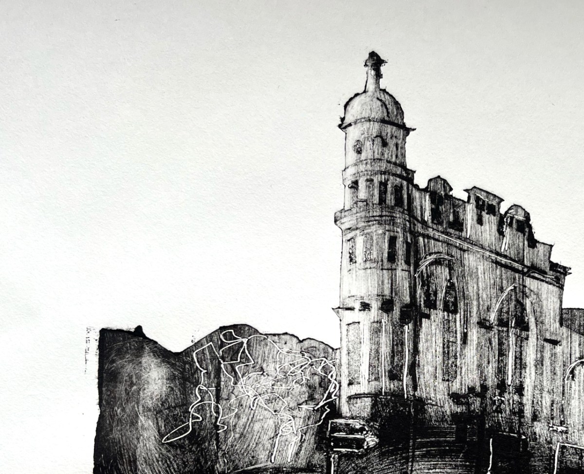
Print plate made from a soup cartonBoston Arms print, detail
Click a button below to share this post online, email it, or print it:
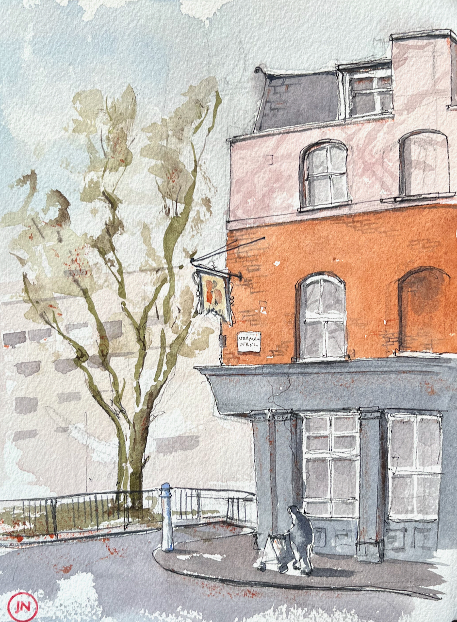
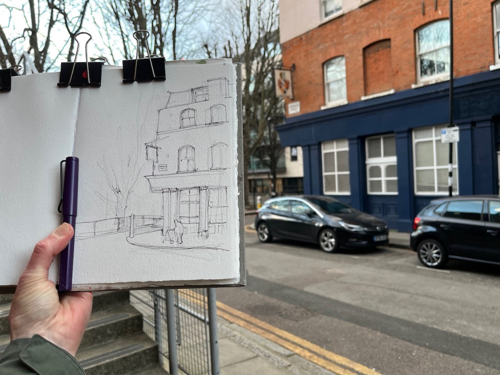
In the late afternoon, I walked round a corner near St Luke’s, and noticed the pub sign.
Langton Arms, Norman Street, EC1 sketched 29 Jan 2022, 4:15pm, in Sketchbook 11
The pub closed sometime around 1989, according to https://pubwiki.co.uk. It is now residential flats.
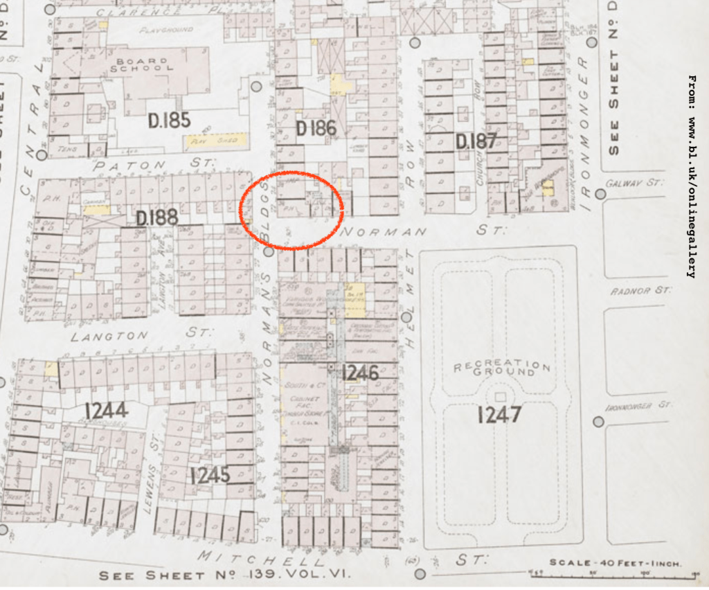
The pub was in existence in 1842, according to “closedpubs.co.uk”. There was a nearby Langton Street, shown on a map from the British Library dated 1901. The Langton Arms is marked “PH”.
1901 map. Langton Arms circled. Insurance Plan of London North District Vol. D: sheet 17 (British Library) Shelf mark: Maps 145.b.23.(.d)
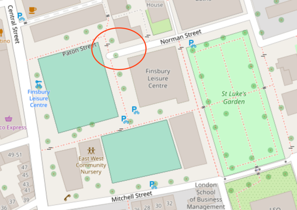
See how dense the housing was in this area in 1901. Here is the same area today. Langton Street has disappeared.
Norman Street area, 2022 (c) Open StreetMap, Langton Arms circled
Pub sign today
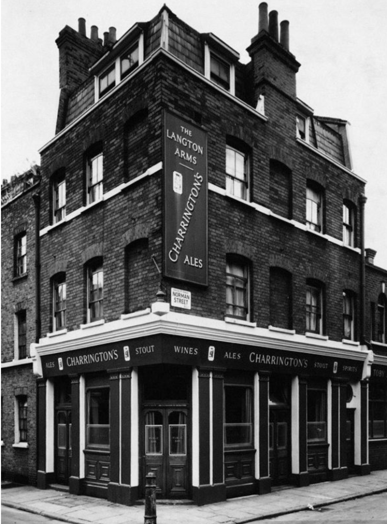
I sketched the closed-down pub at around 4:30pm, as the light faded. The pub sign is still there, but eaten away at the lower edge now. The street sign “Norman Street” is the same one as shown in a photo from 1958. It has “Borough of Finsbury” written above the street name. The Borough of Finsbury was absorbed into Islington in 1965.
This picture is a story of vanishing: vanishing street, eaten away pub sign, closed down pub, a missing borough, sun setting in January. Behind me as I sketched I could hear the squeak of gym shoes on hard floors, the other side of the closed steel doors to Finsbury Leisure Centre.
1958
Click a button below to share this post online, email it, or print it:
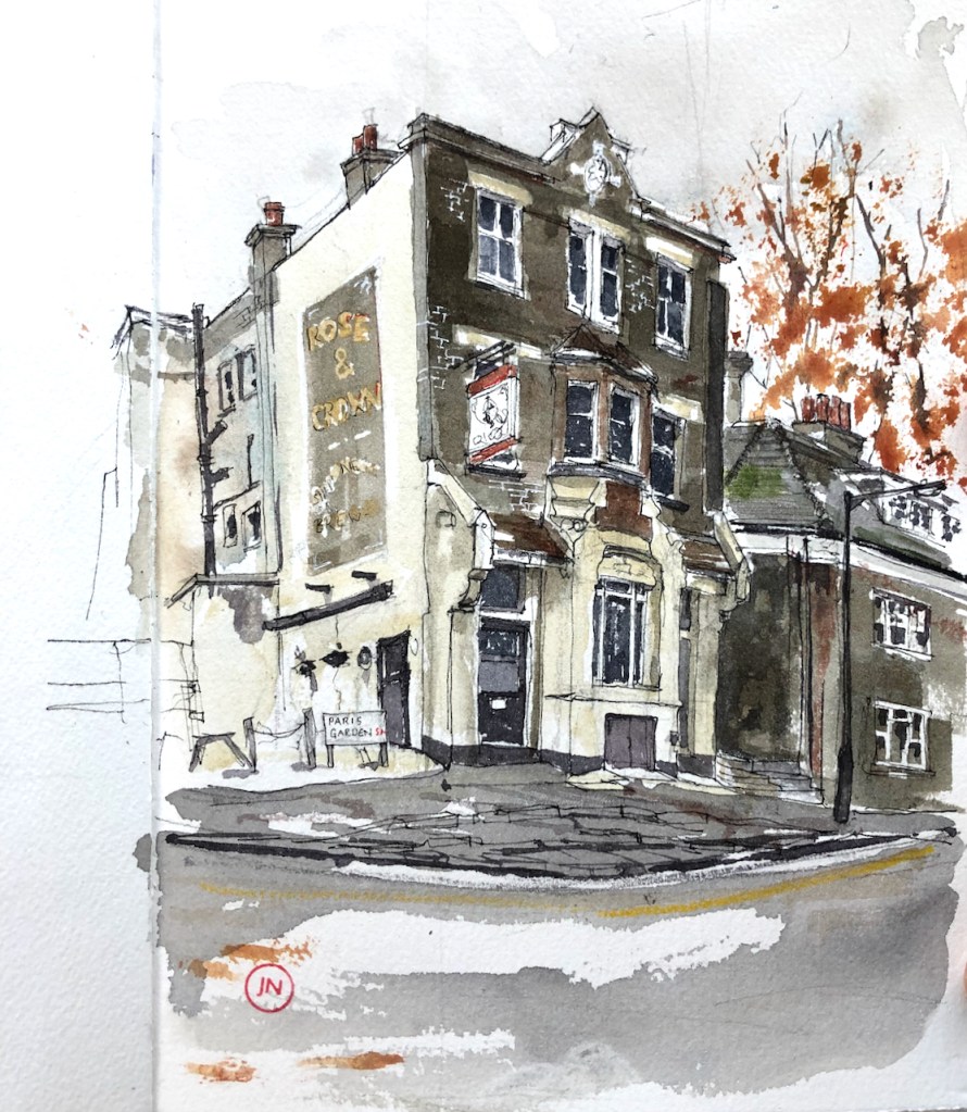
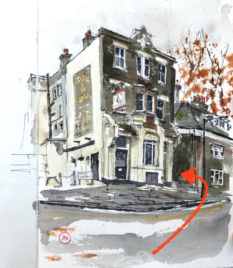
Here is the Rose and Crown, just south of Blackfriars Bridge.
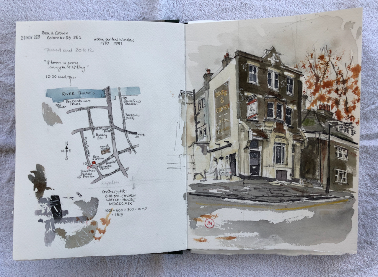
Rose and Crown, Blackfriars SE1, 20 November 2021, 10″ x 7″ in Sketchbook 11
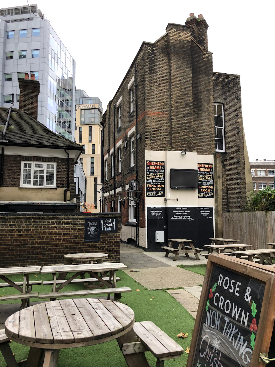
This pub stands amongst modern blocks: linking past, present and future in a swirling area of change. Behind the pub, unexpectedly, is a beer garden, giving onto a wooded area around the nearby church, Christ Church.
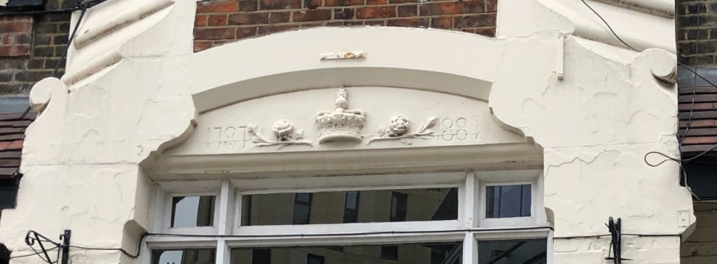
Above the arched window of the pub, two dates are carved in the stone work: 1787 and 1887
Above the arched window: 1787 and 1887 (or 1881?)
The pub’s website says the building “is thought to date back to the late 1800s”. The marvellous “pubwiki” entry tells me that the pub “was established in 1787, re-built in its present form in 1887″. They trace the landlords’ names and dates through census and insurance records, and note a John” Clark, victualler at this location, in 1789.
“1789/John Clark/victualler/../../Sun Fire Office records held at the London Metropolitan Archives” (data from Ewan of “pubwiki”)
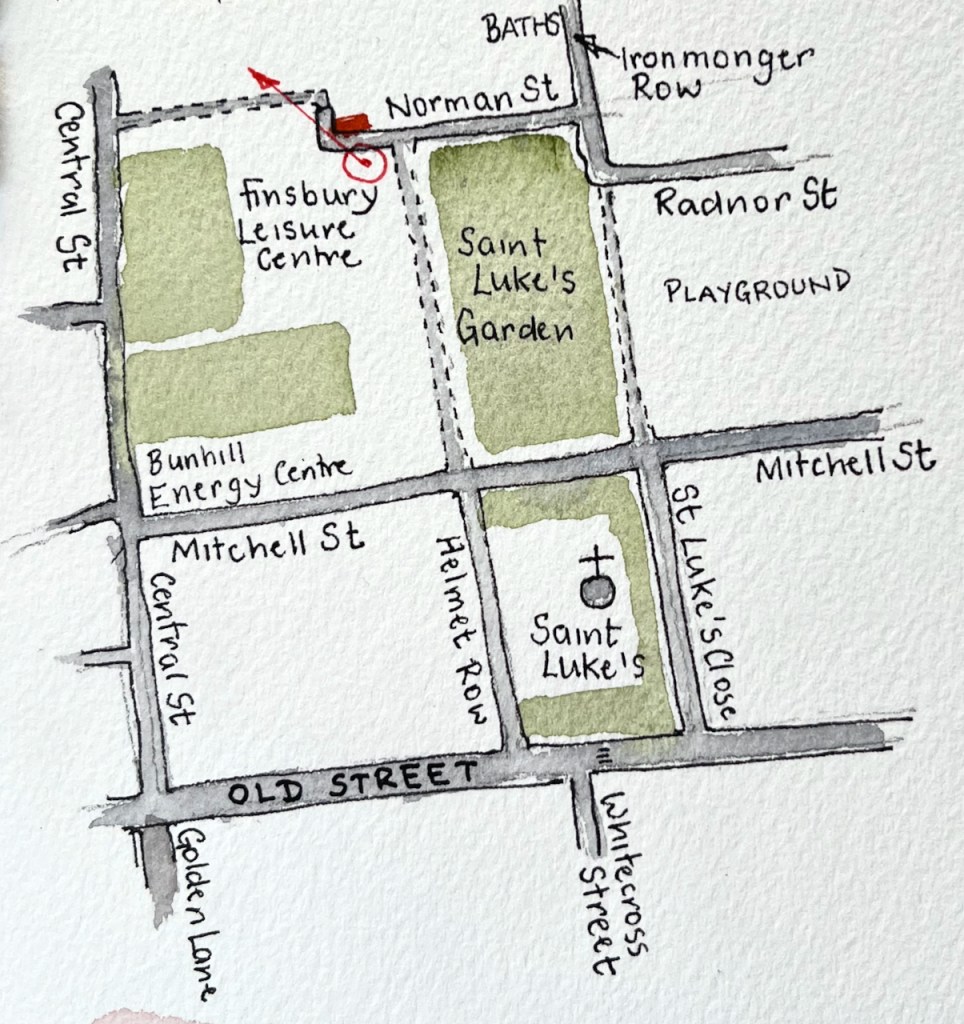
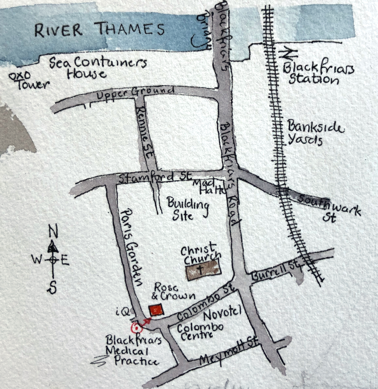
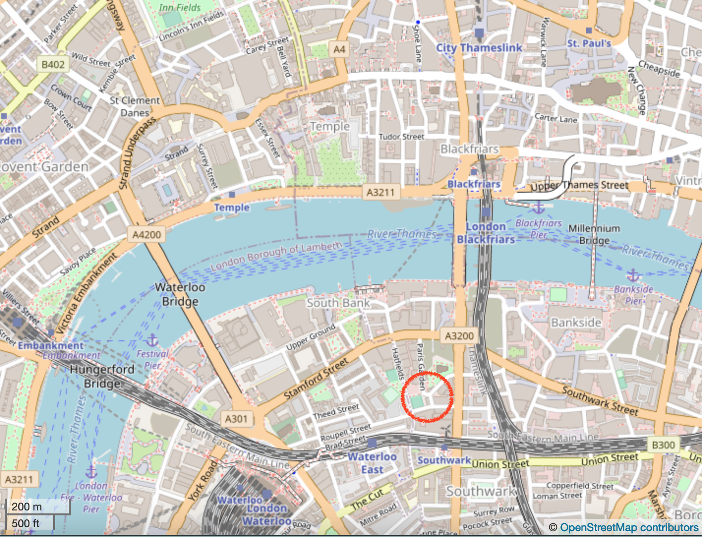
Sketch map showing the Rose and Crown, SE1, and the viewpoint of my drawing, 20th November 2021
The roads round here have changed names. Colombo Street was “Collingwood Street” until 1937 (London Metropolitan Archives, notes on photos). Before that it was “Green Walk” in the 1789 insurance records quoted above. Paris Garden was previously “Brunswick Street”. The area in front of the pub, now the Colombo Centre and a Novotel, is a bombsite in a 1951 photo in the London Picture Archive.
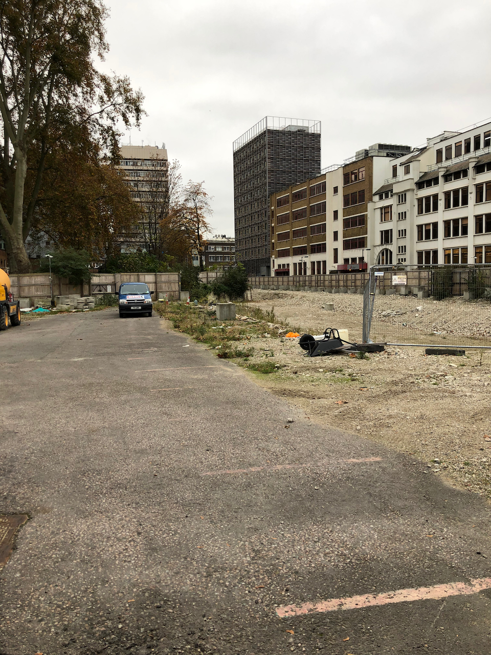
The area continues to undergo change. North of the pub is a huge empty lot. Buildings were demolished in or around 2019, and construction has not yet started.
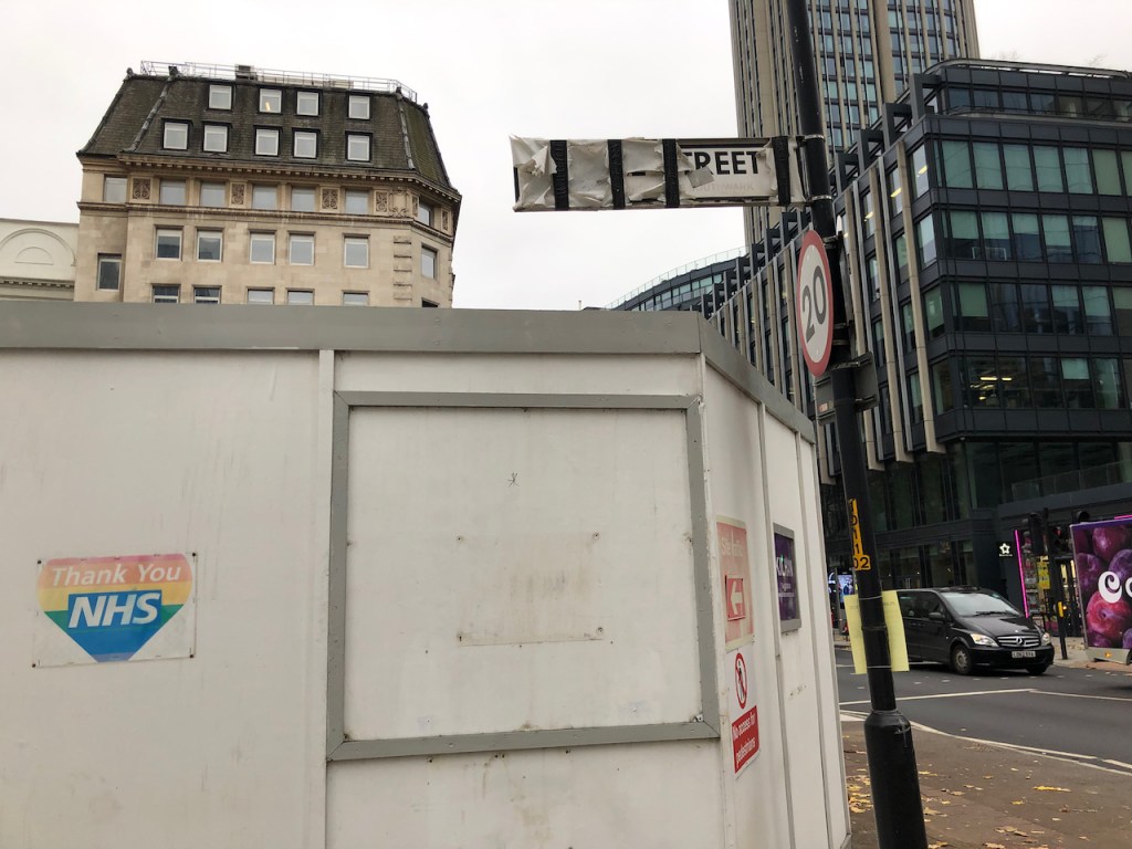
This sign should say “Rennie Street”. Now this part of Rennie Street is inside the empty building lot, and inaccessible.Looking South along “Rennie Street” from Stamford Street across the empty building lot. The Rose and Crown is just visible in the back. I took this photo through the wire fencing which blocks Rennie Street.
The planning application (2019) is for 4 levels of basement and 6 buildings from 5 to 53 floors.
Planning application 19/AP/0414 from “planning.southwark.gov.uk”
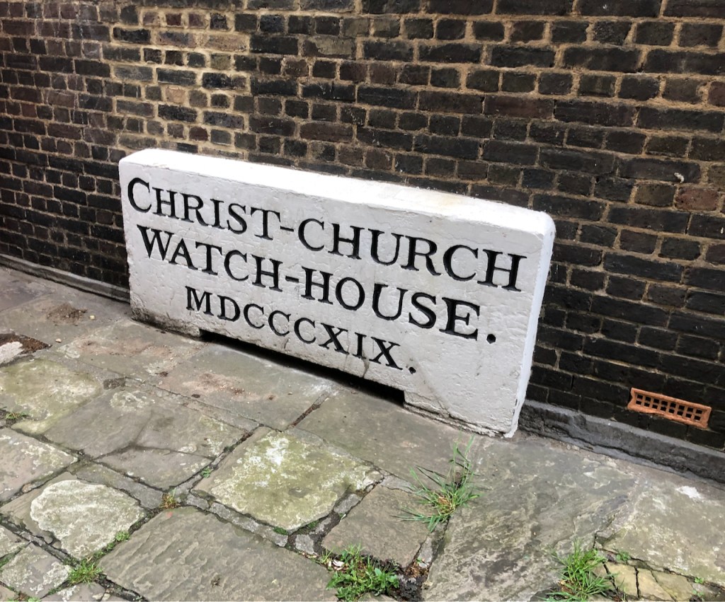
If you walk into my drawing and turn into the dark passage to the right of the pub, you find this notice, written in stone. Recently another notice has been added, asking patrons to leave quietly.
Walk into the passage to the right of the pub…..and find this notice (May 2021 photo)November 2021 photo.
By my calculation MDCCCXIX is 1000(M) + 500(D) + 300(CCC) + 10(X) + 9 (IX) = 1819
The purpose of the watch house was to guard the adjacent burial ground from body snatchers, according to the note on the London Metropolitan Archive Picture Gallery. Here is the watchhouse in 1932. The pub would be immediatly to the left of this photo:
“The Parish Watchhouse was built in 1809 and stood in the Church Yard until demolished in 1932. The Watchhouse was used to guard new burials against body snatchers. The Rectory, a new building similar in style, stands on the same site. Colombo Street was previously known as Collingwood Street.”
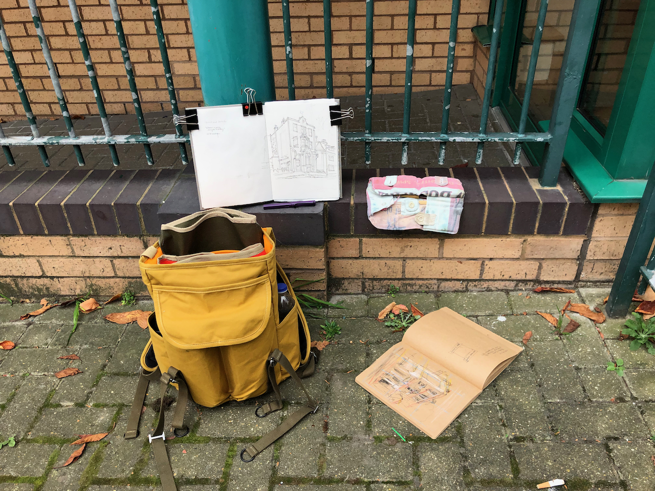
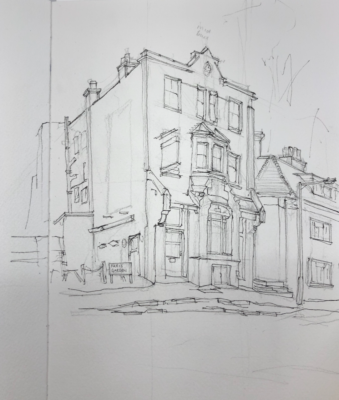
Here is work in progress on the drawing. You see the current rectory, which replaced the watch-house, on the right.
Location:
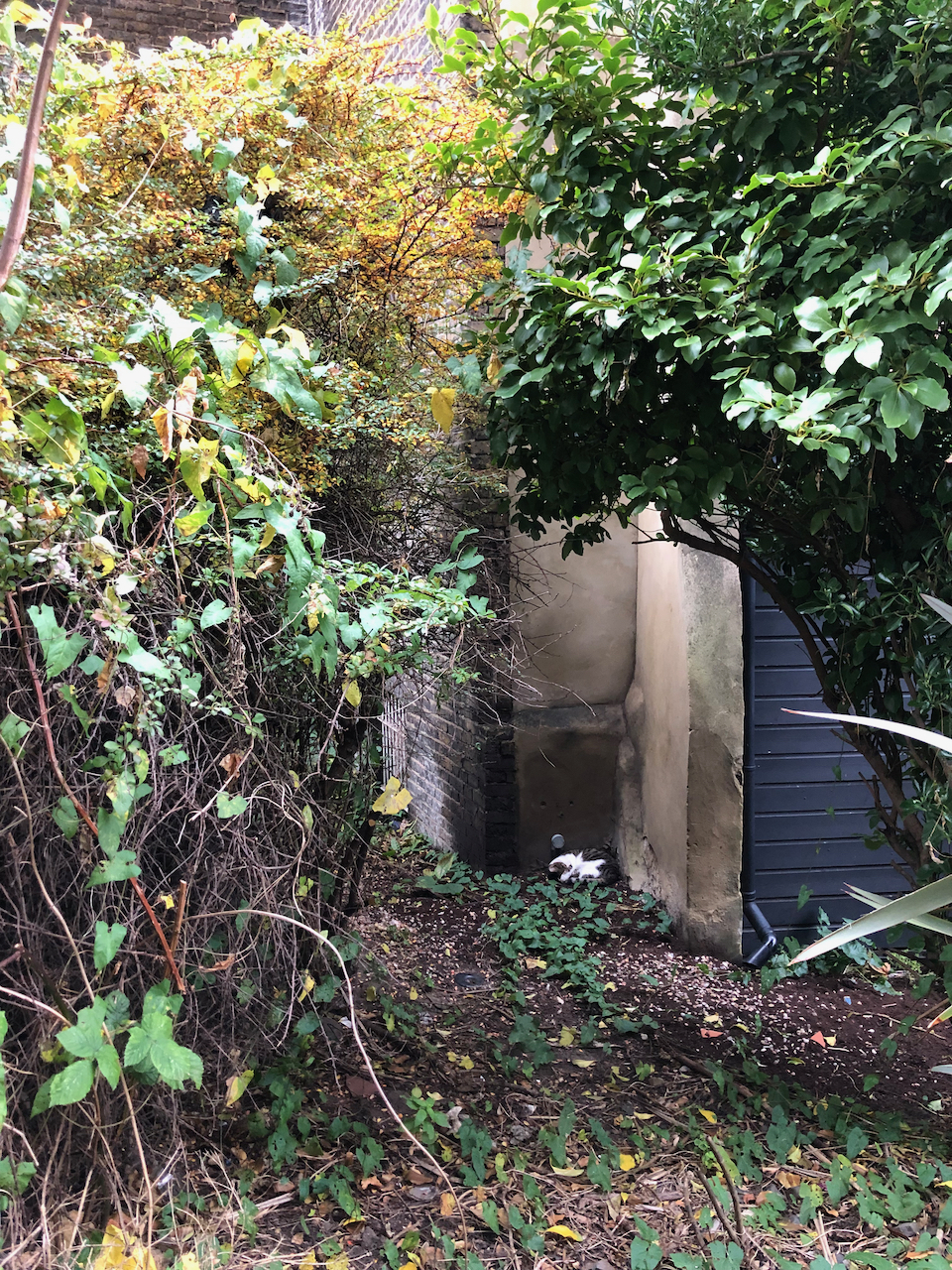
The pub cat, sleeping.
Click a button below to share this post online, email it, or print it:
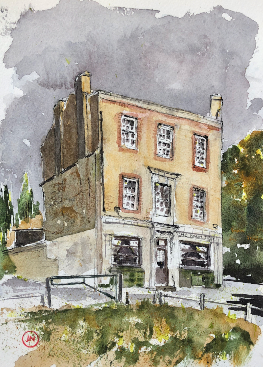
“The Palm Tree” 127 Grove Road, Mile End, London E3, 28th September 2021, 10″ x 7″ in Sketchbook 10
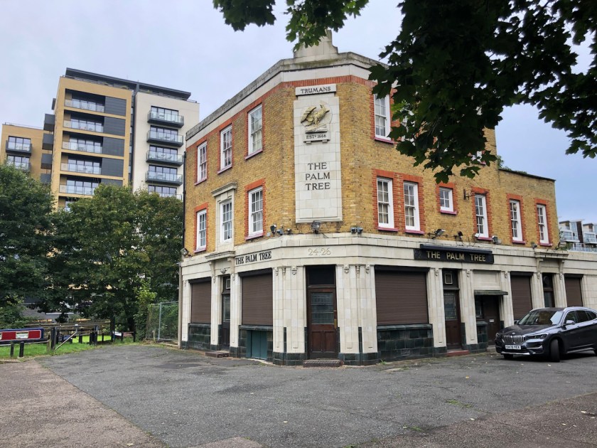
I have often puzzled about this pub. I pass it as I’m cycling or running on the Regent’s Canal towpath. It stands alone, in a field of green, strangely isolated. Has it always been like that?
The Palm Tree stands isolated by the Regents Canal.
The answer to that question is no. It was not always isolated. It used to be surrounded by houses.
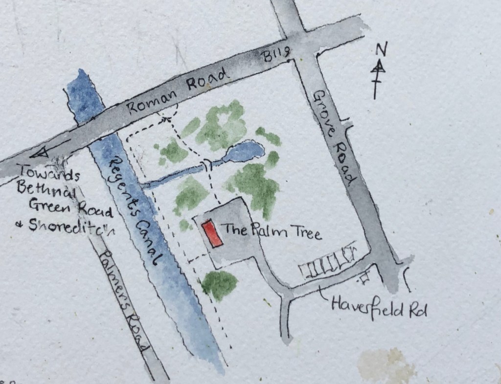
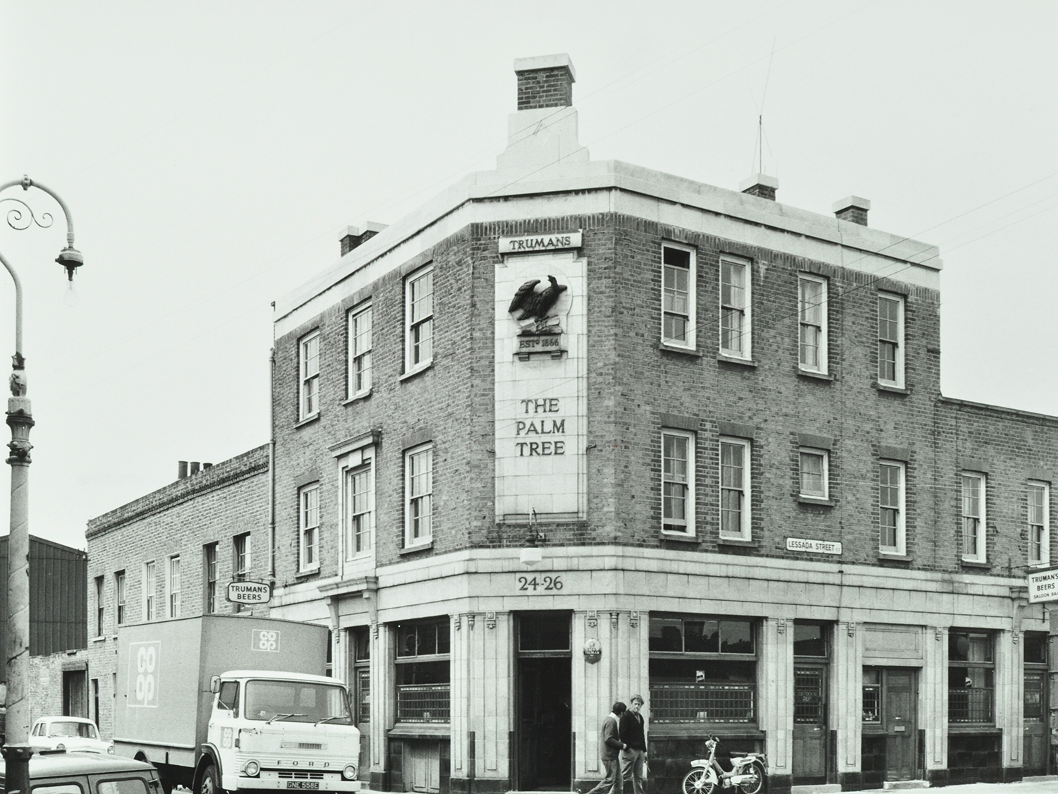
Its Historic England entry (1427142) tells me that when this pub was built, in 1935, it was surrounded by terraces of houses, Palm Street, Lessada Street and Totty Street, which have since vanished. The entry says: “the pub is the final remnant of a once built-up, industrial part of London, destroyed in the Blitz and in subsequent clearances”
Usually, an elderly resident will gesture to dense terraced housing and inform you that “this used to be all fields”. But in this area of Mile End, the reverse is true: this open green area used to be all houses!
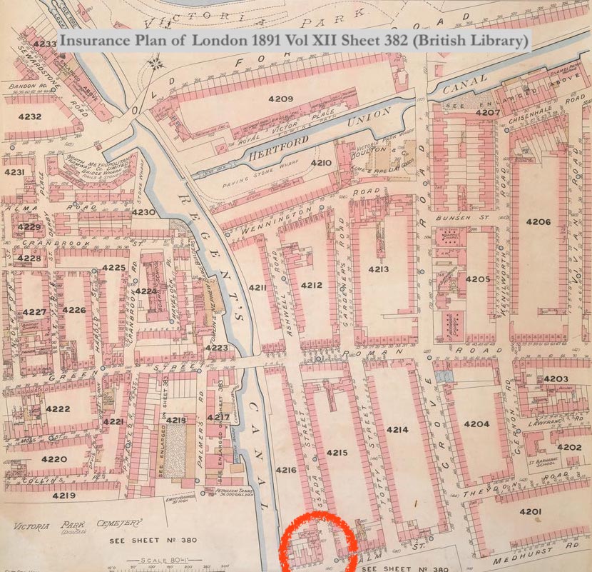
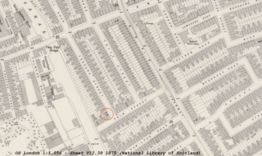
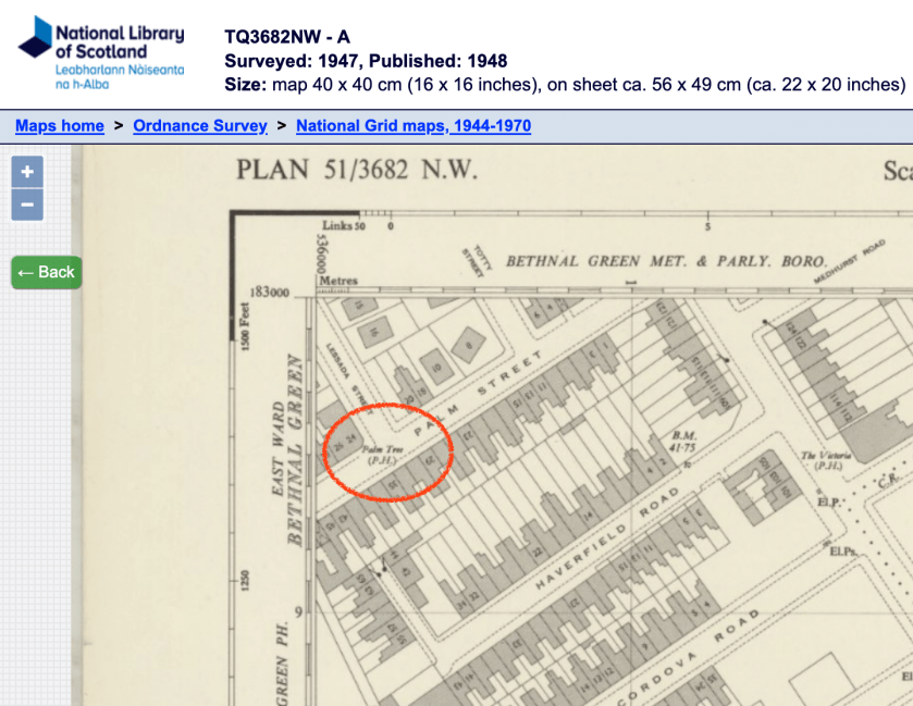
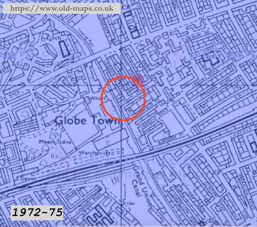
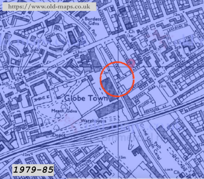
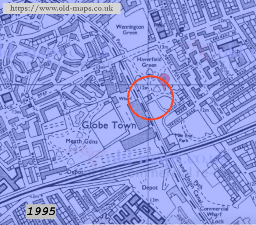
Here are a selection of maps. You see the dense housing and close-packed streets in the late 19th century, damaged by bombs in 1944, and then replaced by pre-fabricated housing in the 1970s. The post-war prefabricated housing was demolished in 1977. In the 1979-85 OS Map, the streets are still there, but the housing has gone. By 1995 it was “all fields”, and the Palm Tree pub stands alone, as it does today.
1891 – terraced housing
1895 – terraced housing – note also the tramlines on Grove Road!
1948 – terraces have gone
1972-5 – now pre-fab housing
1979-85 – houses have gone
1995 – streets have become park
The de-industrialisation of an area. One of the industries in the area was furniture making. The maps show furniture factories and warehouses. The Historic England listing suggests that “Palmers Wharf” on the other side of the canal is named for the palm tree importers, hence the name of the pub and its adjacent street [references for the source of the maps are on the images: click to enlarge]
The reason the pub has an entry in the Historic England listings is that it is Grade II listed. Amongst the many architectural delights described in the listing is the saloon bar:
“The saloon bar, accessed from the furthest door along the north-east elevation, appears to remain almost entirely unchanged since construction. The higher class of the bar is apparent in the fielded dado panelling on the walls and on the curved bar counter; otherwise the internal decoration is similar to the other bars, retaining its bar back, chequered counter edge tiling and chimneypiece[……]A dartboard cabinet, possibly from the original pub, was reinstalled in the late C20. Unlike the public bar, which originally had only gentlemen’s toilets, the saloon was served by male and female toilets (set either side of the fireplace); both of these remain largely unaltered, with original doors and door furniture, tilework and, in the gents’, a Royal Doulton urinal.” [Historic England Listing number 1427142]
Reason enough to visit the pub when it is open!
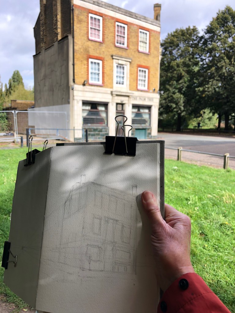
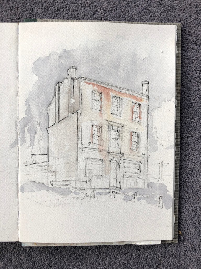
Part way through this sketch it started raining, then the rain became heavy. I finished the sketch at my desk.
Starting the sketch in the sun
Washed out picture, still damp, when I reached home.
The main colours are: Mars Yellow for the brickwork and plants, Fired Gold Ochre for the reddish brickwork, Perylene Maroon and Prussian Blue, plus some Mars Yellow, to make the greys, and Green Apatite Genuine for the darker greens of the trees, with highlights of Green Gold. There’s a bit of Buff Titanium for the whitish tiled part on the ground floor. All colours are Daniel Smith watercolours.
Thanks to the staff and curators at London Picture Archive, I can add this marvellous photograph of The Palm Tree in 1971:
Note the street sign: “Lessada Street” on the right which has vanished, and the brick block at the back on the left which has completely gone, as has the wonderful lamp-post.
Apart from that, it’s not very different. All around it has changed.
“The Palm Tree” from the North, 2nd Oct 2021
Click a button below to share this post online, email it, or print it:
After a swim in Cleveden at high tide, I walked along the docks at Bristol.
I remember when “Watershed” was a kind of hippy place, half-derelict, half-dwelling, with a shop selling joss sticks, and a long smock-style dress in a wood-block print, that I should have bought. Or may be I did buy it. Or may be I agonised over the price, and waited, and thought, and now Watershed is a totally different place, with a cinema, and several bars, and they’ve mended the pavement outside, and parked yachts outside, and built a bridge.
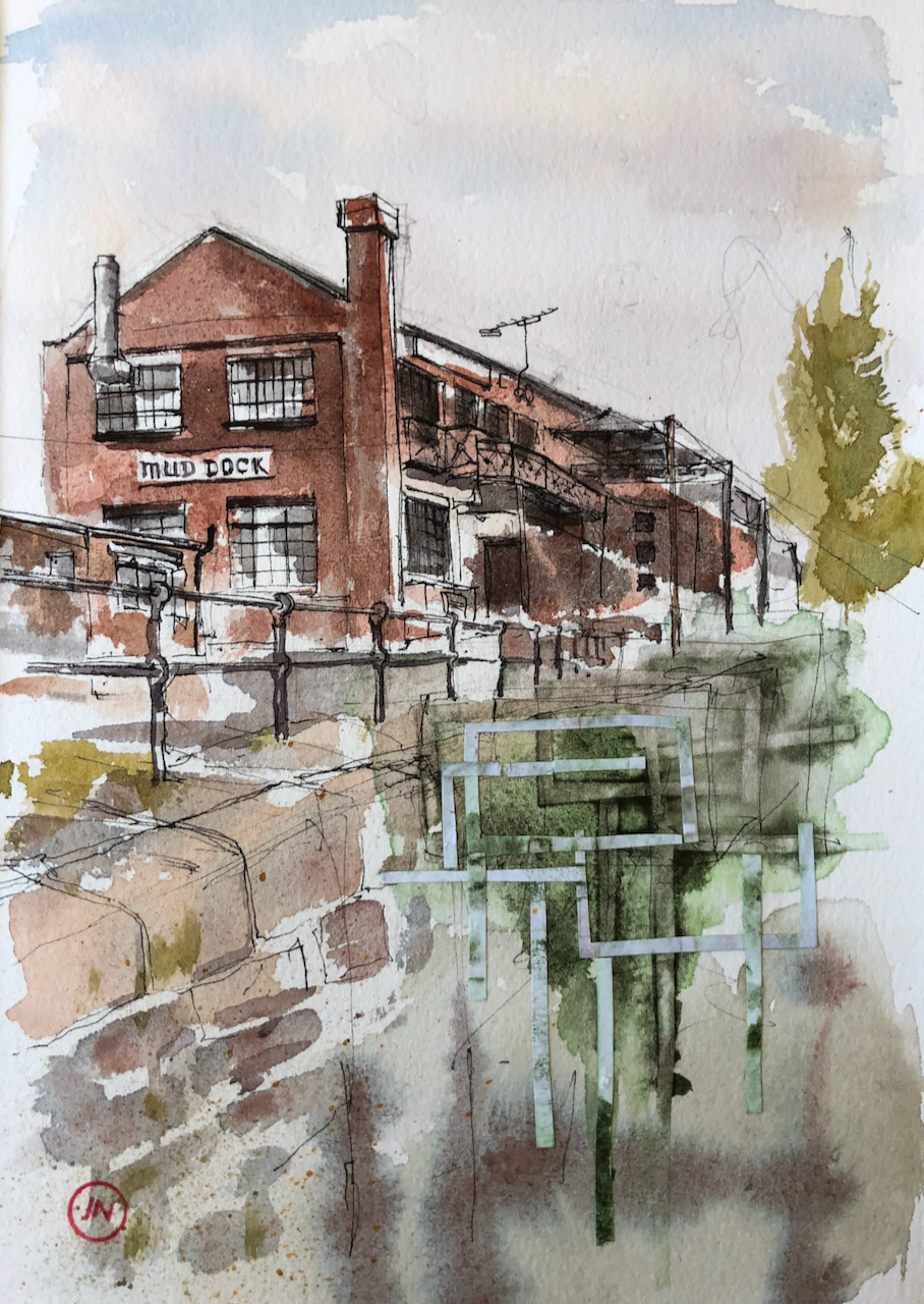
The bridge leads past the art gallery called “Arnolfini” to the restaurant and bike shop called “Mud Dock”. I sat on a cast iron mooring post, and drew a picture.
Mud Dock, Bristol 22nd September 2021, 10″ x 8″ in Sketchbook 10
I did the pen and ink on location and added the colour back home at my desk.
This picture includes some collage: the slivers of paper on the bottom right are stuck on with rice glue. Underneath them, you see the “shadows” which I made by placing slivers of paper on the wet watercolour and waiting for them to dry.
Click a button below to share this post online, email it, or print it:
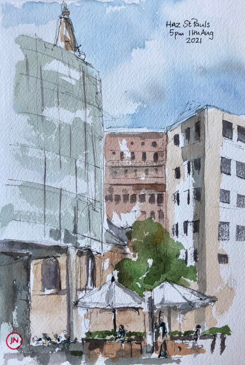
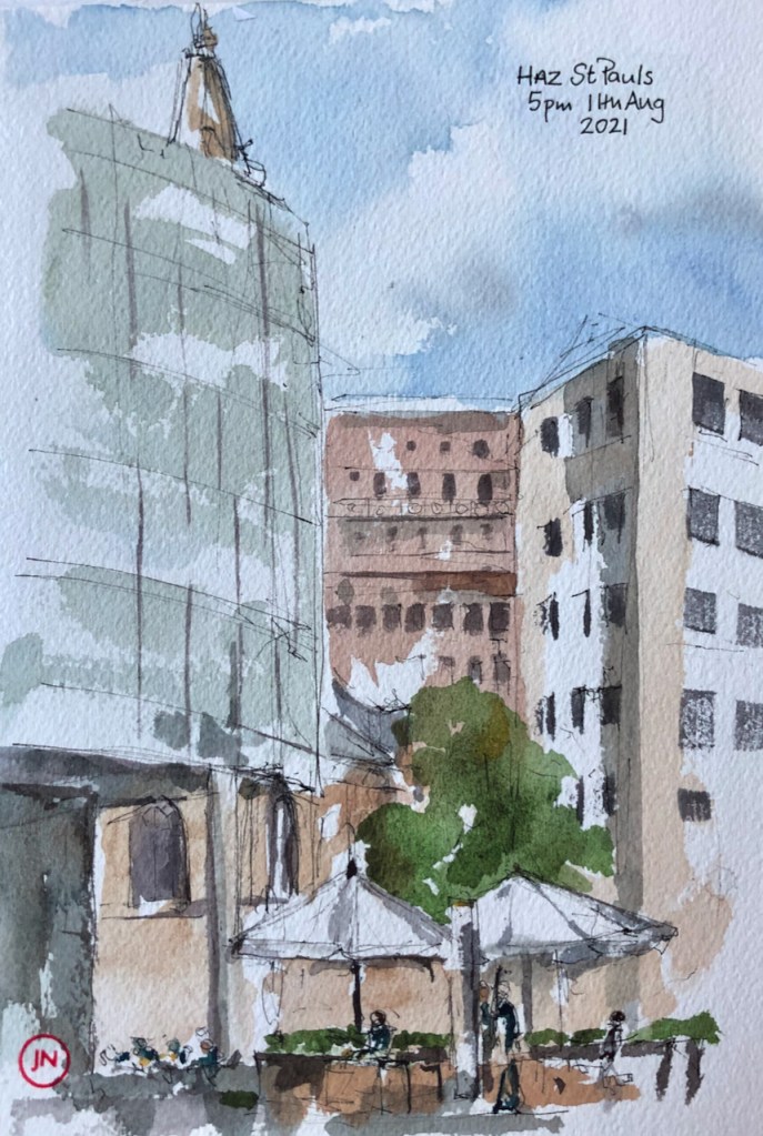
Here is the restaurant “Haz St Pauls“, 34 Foster Lane, London EC2.
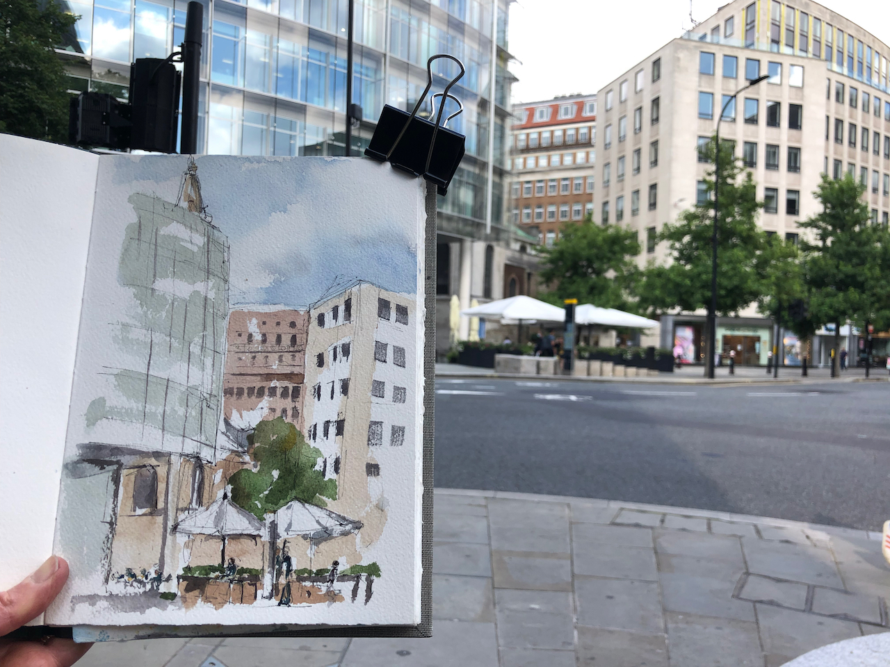
“Haz St Pauls” Foster Lane, EC2, sketched from across the road, in Sketchbook 10, 11th August 2021
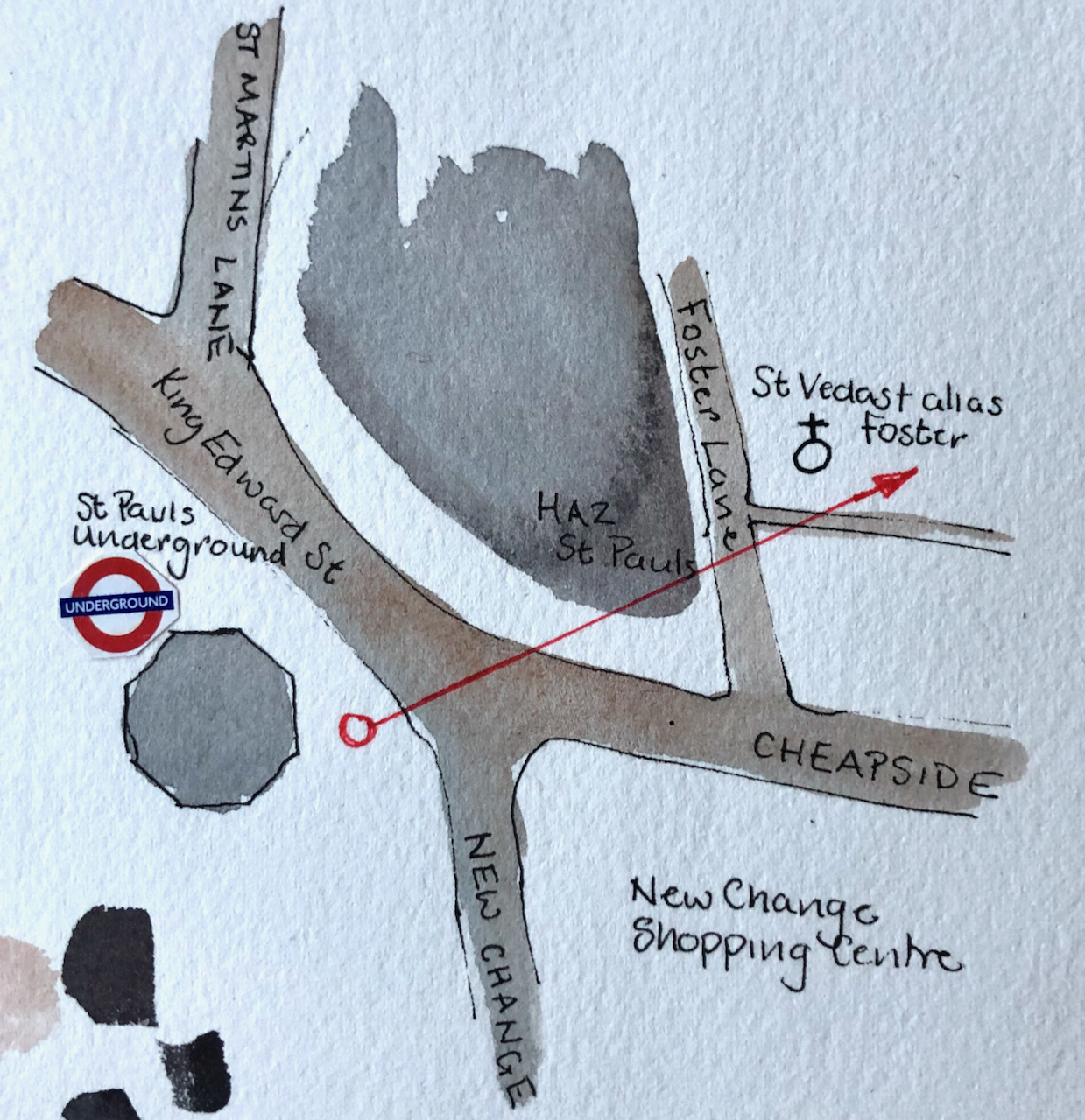
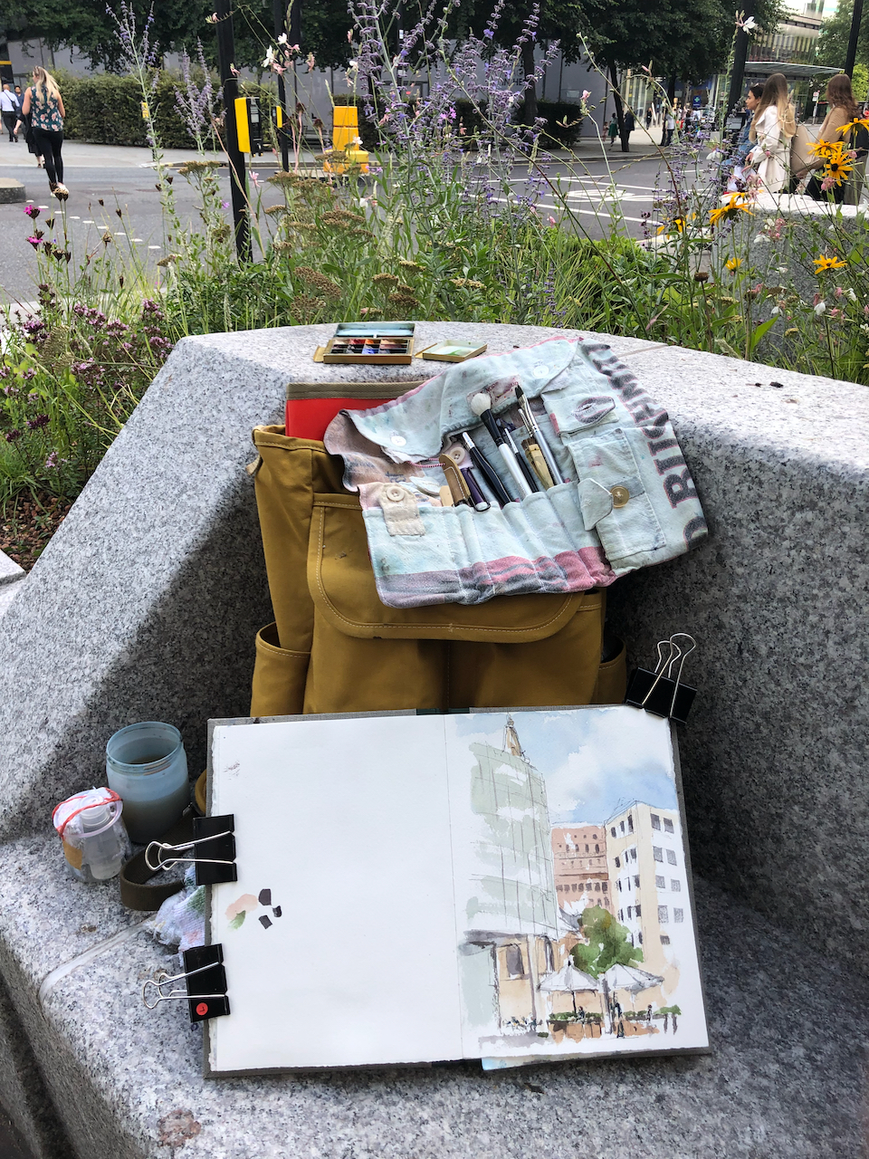
The restaurant has created a wonderful outside seating area on a part of the pavement. This corner has modern offices, the Haz restaurant, a coffee bar (Costa), and a church, St Vedast alias Foster. I sketched it from a new stone seat near St Pauls Underground station.
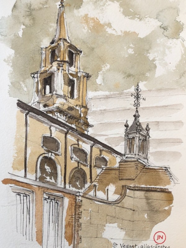
Here is the Anglican Church of St Vedast-alias-Foster, in the City of London, viewed from Priest’s Court. Before I drew this, I paused a while in the Fountain Court, a tranquil courtyard next to the church. In the shadow,…
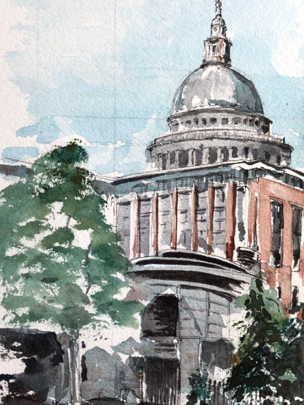
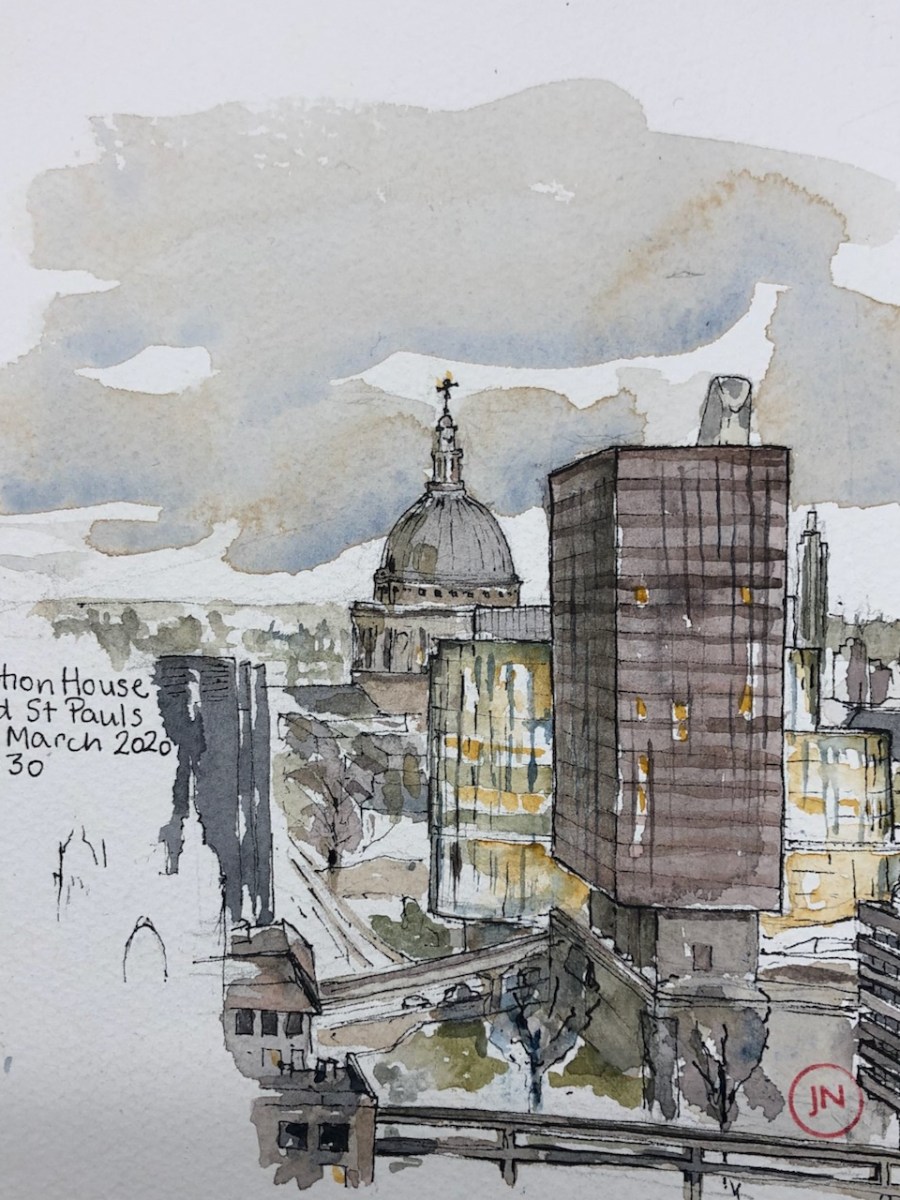
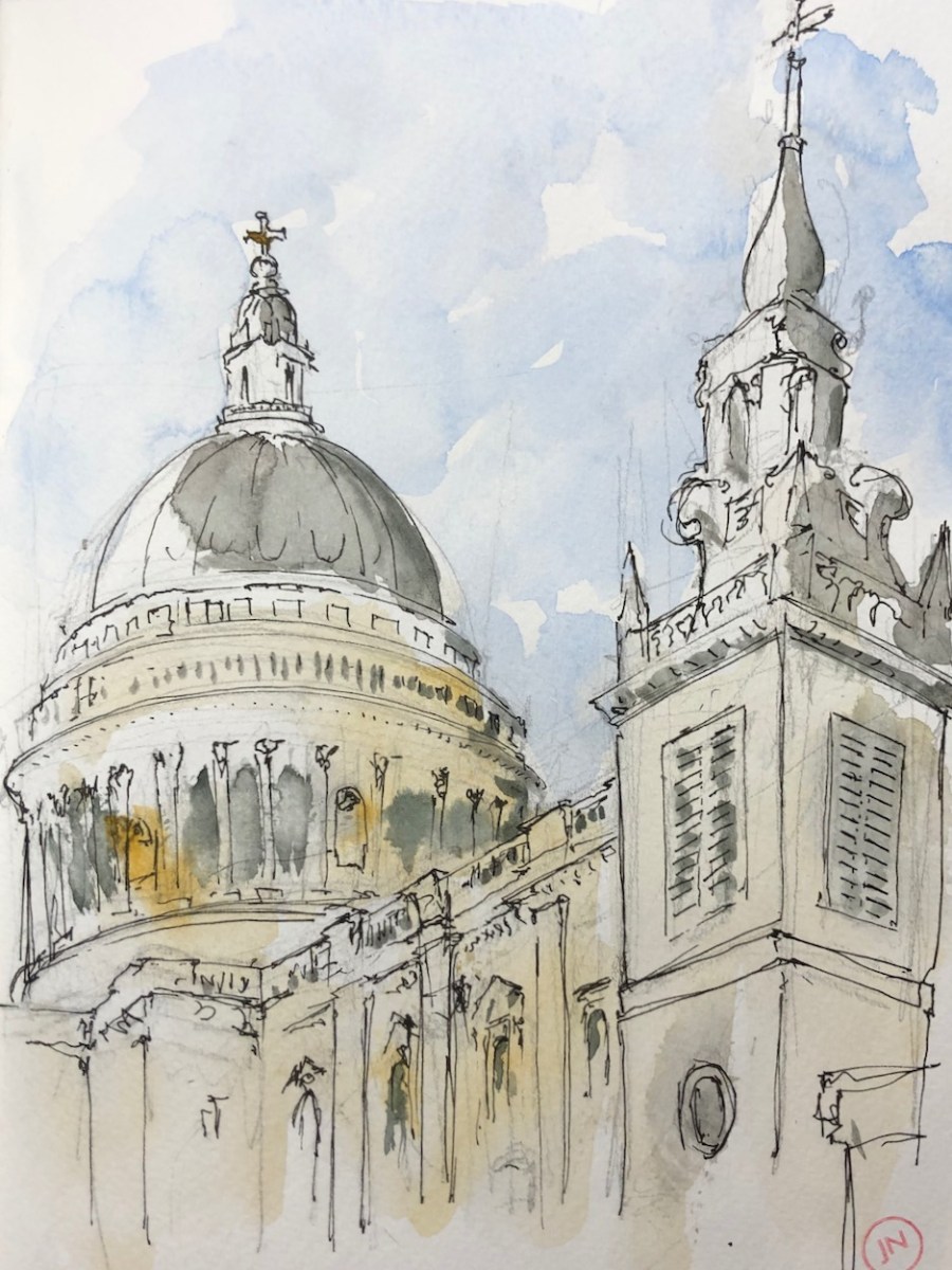
Here are some of my sketches of St Paul’s Cathedral, which was behind me as I sketched Haz.
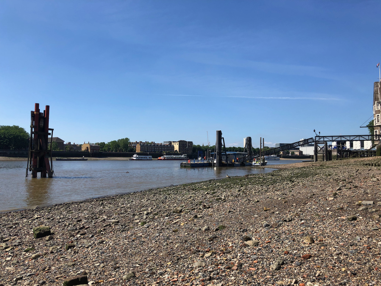
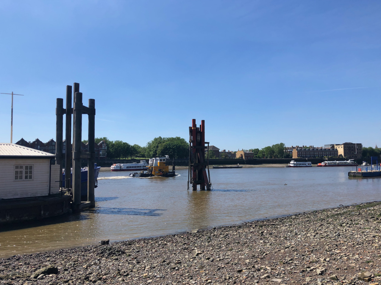
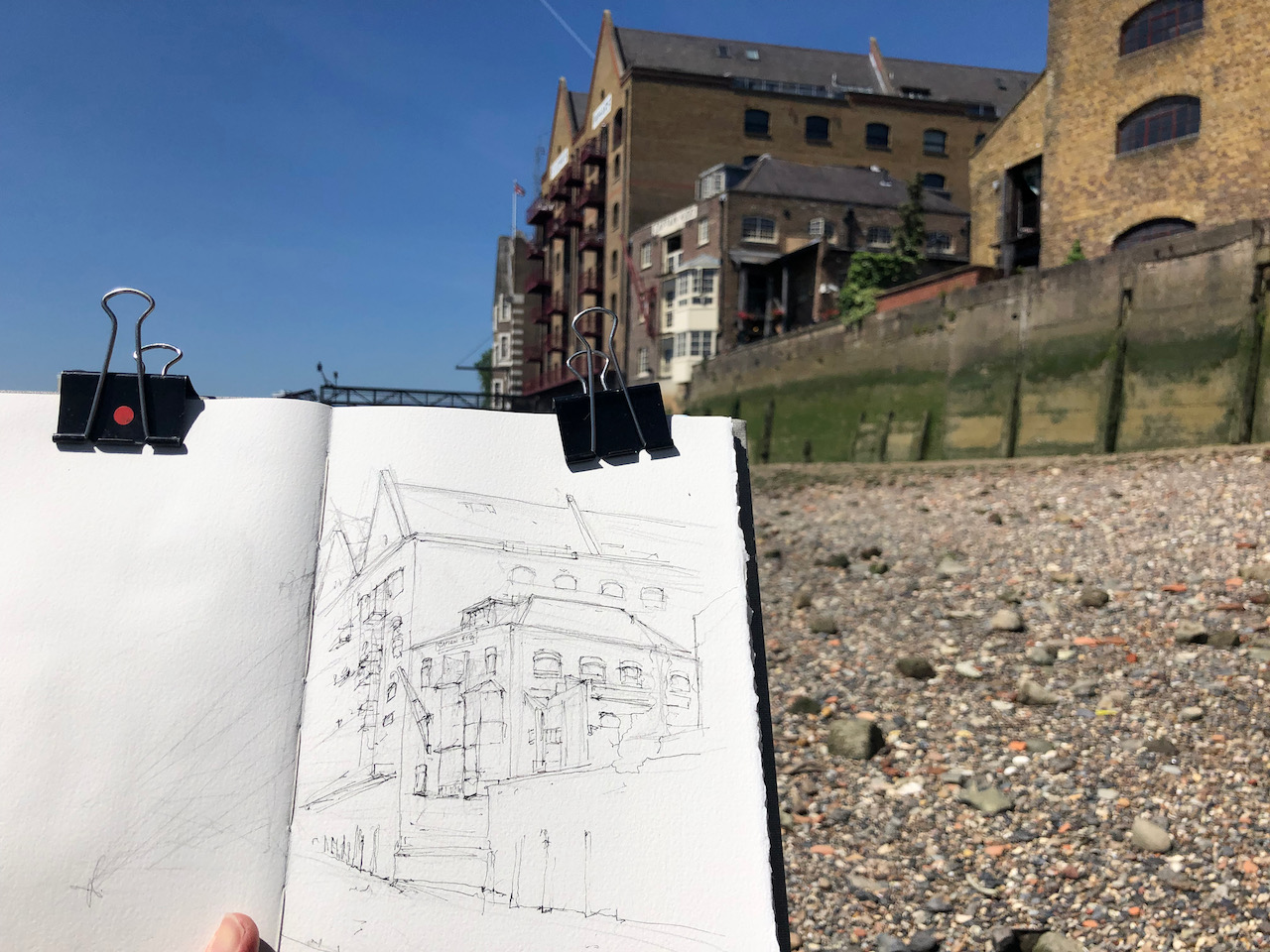
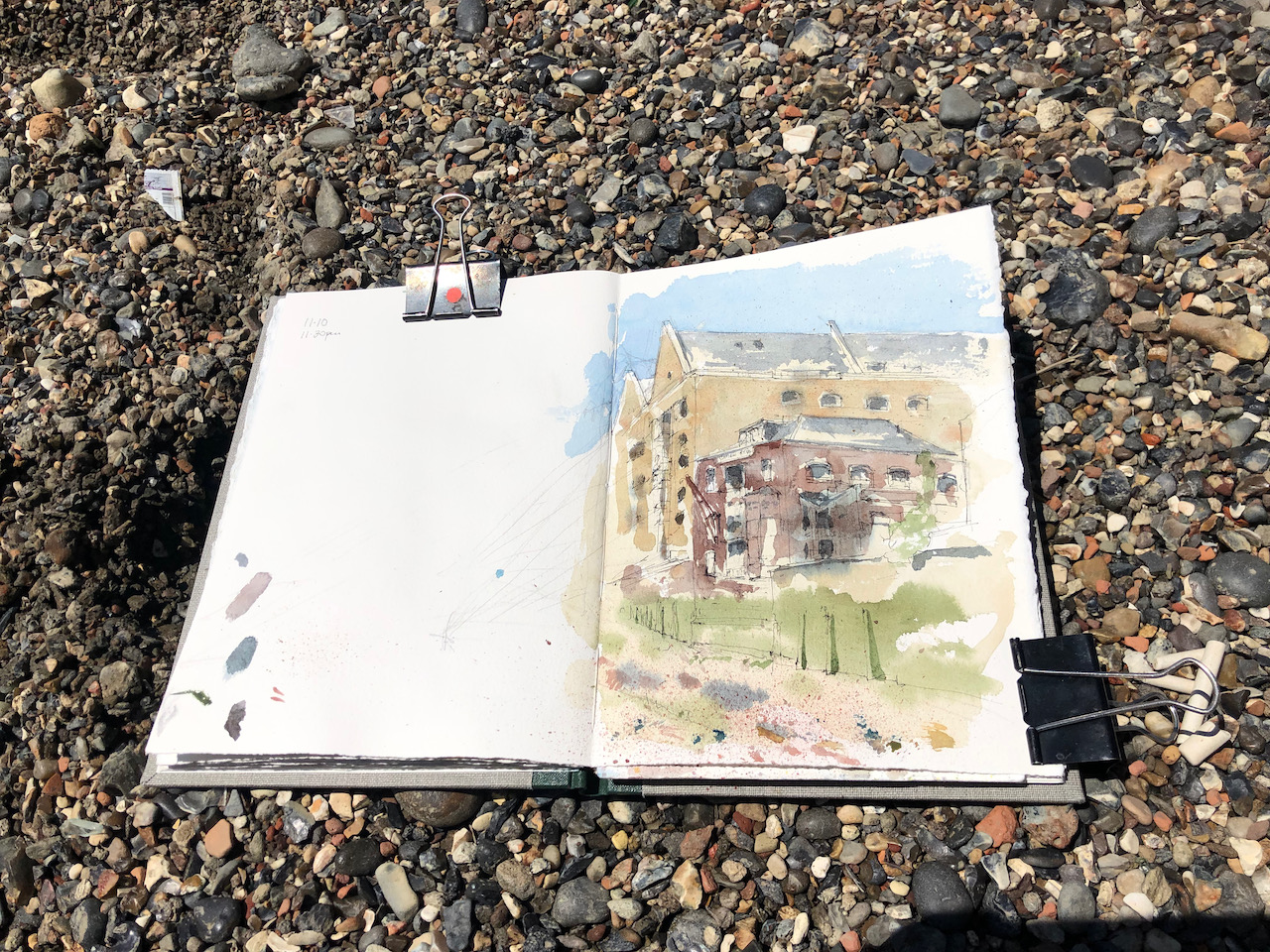
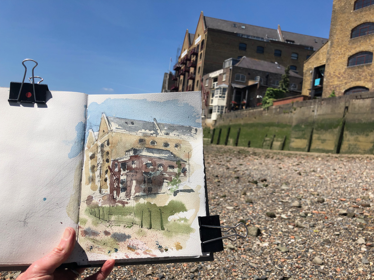
After breakfast at the Turk’s Head ( see this post ) I went down to the river. The tide was out. I sat on the Thames foreshore and sketched The Captain Kidd.
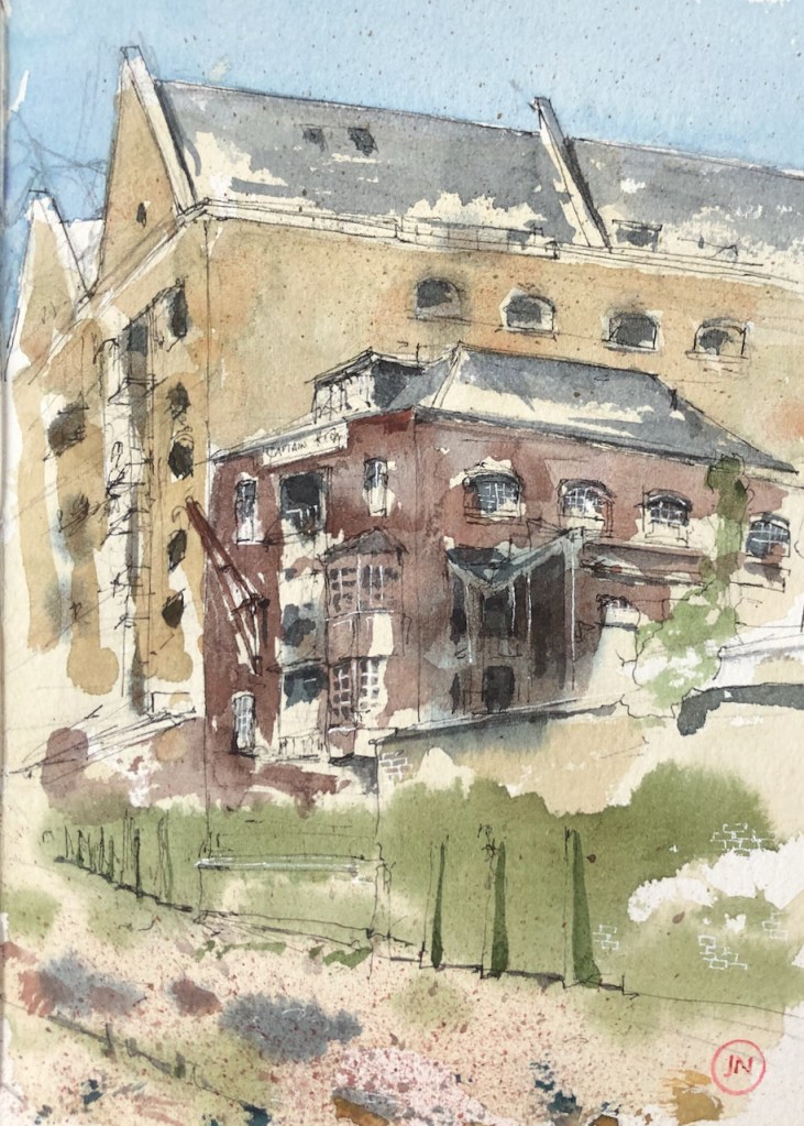
The Captain Kidd, Wapping E1. 12.10pm 14 June 2021. 7″ x10″ in Sketchbook 10
The Captain Kidd is the building at the front. It’s a pub and restaurant. The larger building behind is “St John’s Wharf”, a warehouse now converted into flats.
The “Captain Kidd” is named after a “seventeenth century pirate William Kidd who was executed [in 1701] at the nearby Execution Dock” according to various websites e.g. The Londonist.
However there is no “nearby Execution Dock”. The carefully researched article on “London Inheritance” concludes that “King Henry’s Stairs” were formerly “Execution Dock” (see note 2). The name was changed in the early 19th century to be better in line with the burgeoning use of the area for trade. The London Inheritance author cannot discover a specific “King Henry” connection. He includes a list of some of the people who were executed here, for crimes at sea including piracy, fighting on board ship, murdering shipmates, and treason.
I note with interest that, these days, the headquarters of the Marine Police are just a few hundred yards upstream. This is a very ancient establishment, which started with a one-year trial in 1798 (note 1).
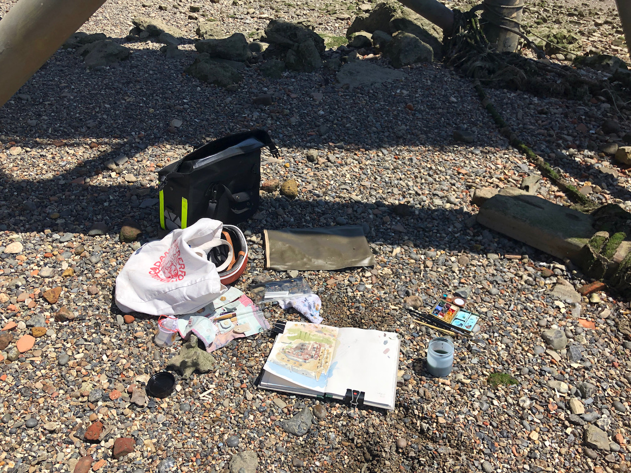
Here is work in progress on the drawing. See the wonderfully clean Thames foreshore.
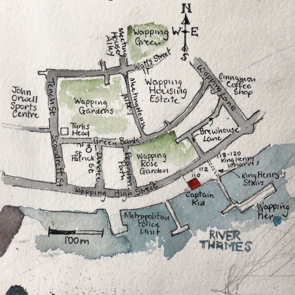
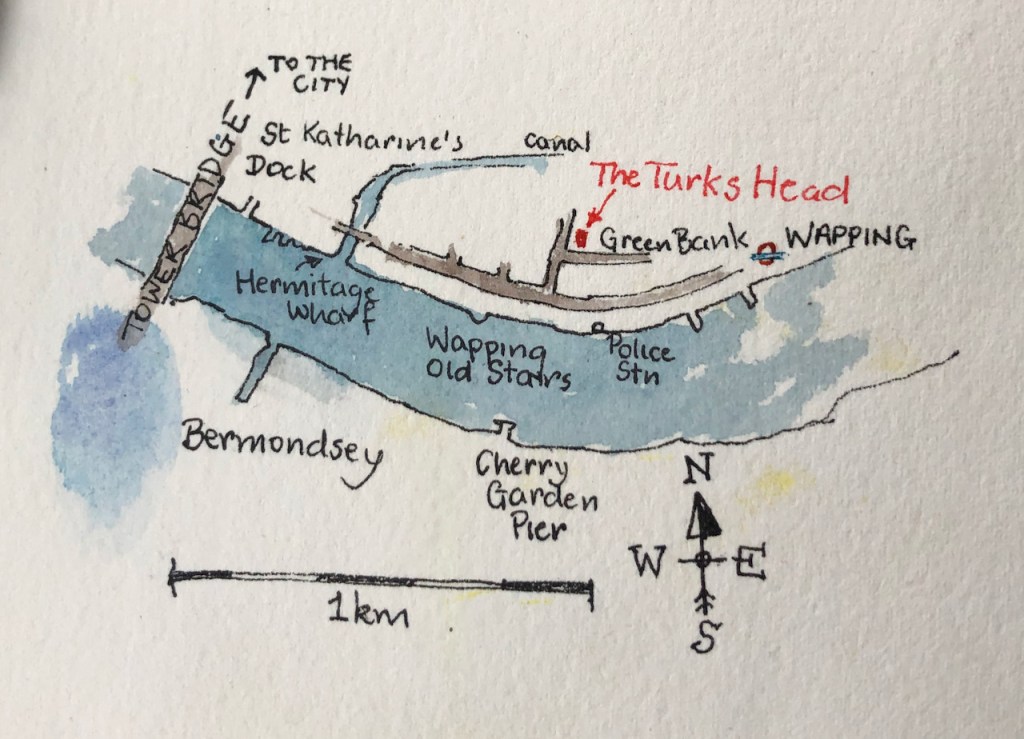
I drew my picture in the shade under Wapping pier. Here is a map:
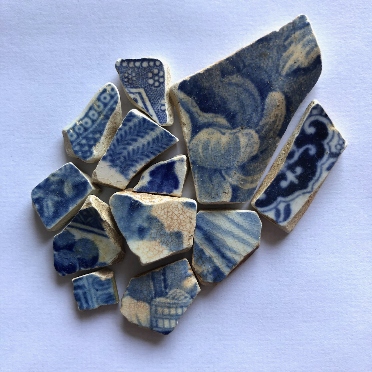
Walking back to the ladder, I collected a handful of porcelain pieces, blue and white. It was as though, years ago, someone threw a china bowl onto the foreshore, and the pieces somehow stayed in the same vicinity, through many tides. Or perhaps it is several bowls.
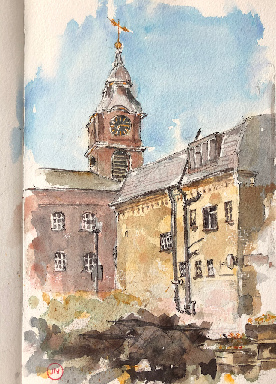
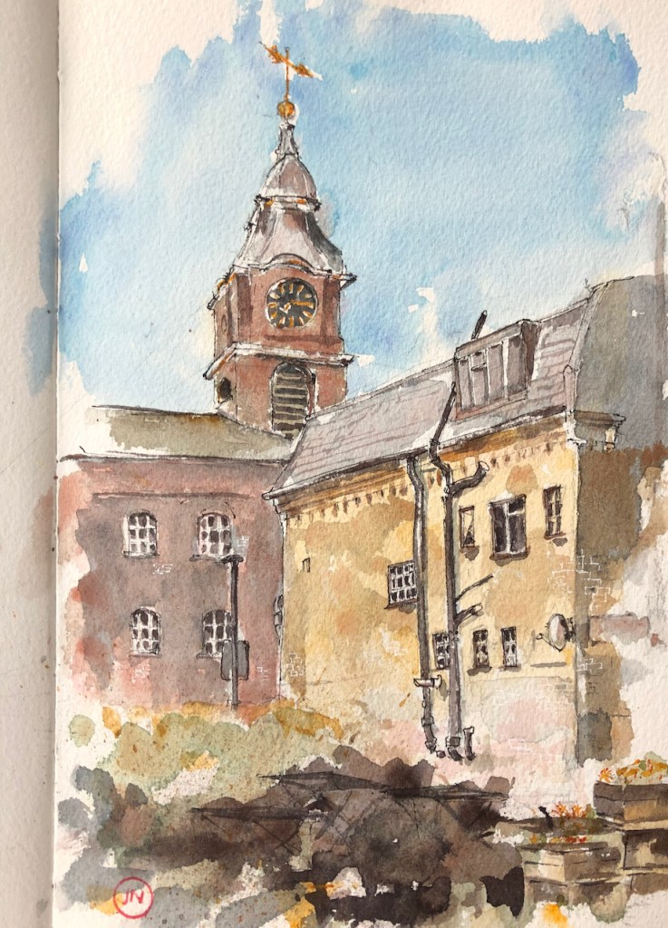
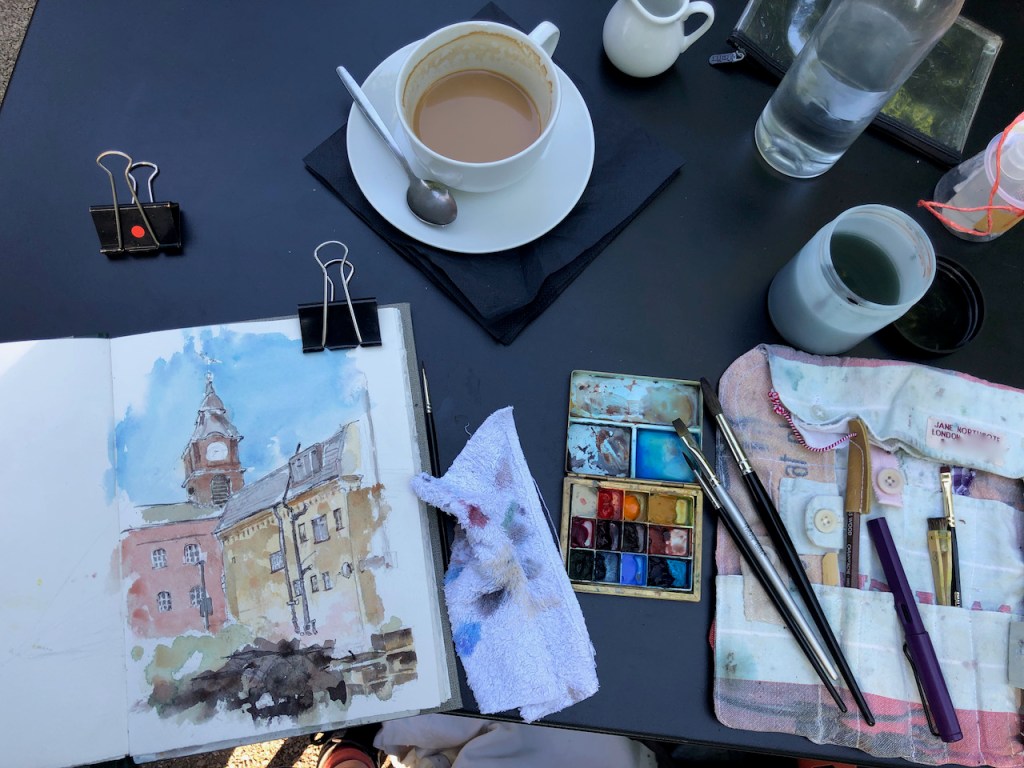
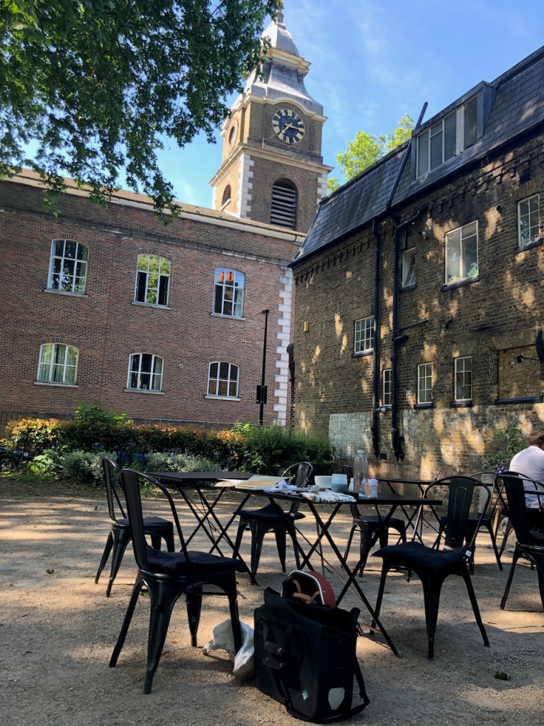
Here is the marvellous Turks Head Café, Wapping, rescued from demolition by local residents in the 1980s. Inside, I found warmth, quiet tables, and the gentle murmur of conversations: people actually talking to each other. I felt welcome here. The food was marvellous. Next time I’m going to have the Blueberry Tart. I only noticed it after I’d already had the substantial Chicken and Avocado Sandwich.…
Click a button below to share this post online, email it, or print it:
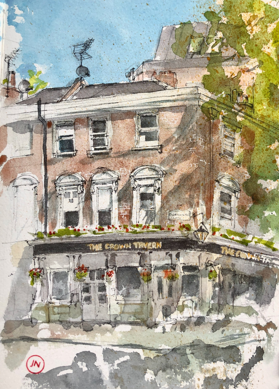
The pub frontage dates from 1900, according to the historic buildings listing1. The building is Grade II listed. There has been a pub here for a lot longer than that, though. A Freemasons Meeting here is recorded in 17862
The Crown Tavern EC1, sketched 9th June 2021, 12 noon, 10″ x 8″ in Sketchbook 10.
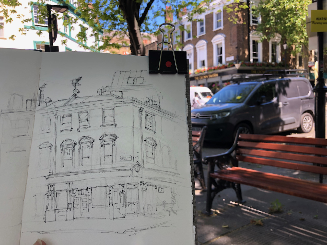
I sketched the pub on a sunny Wednesday lunchtime. Building work was in progress on the site behind me. The cafés opposite were open and people were sitting outside.
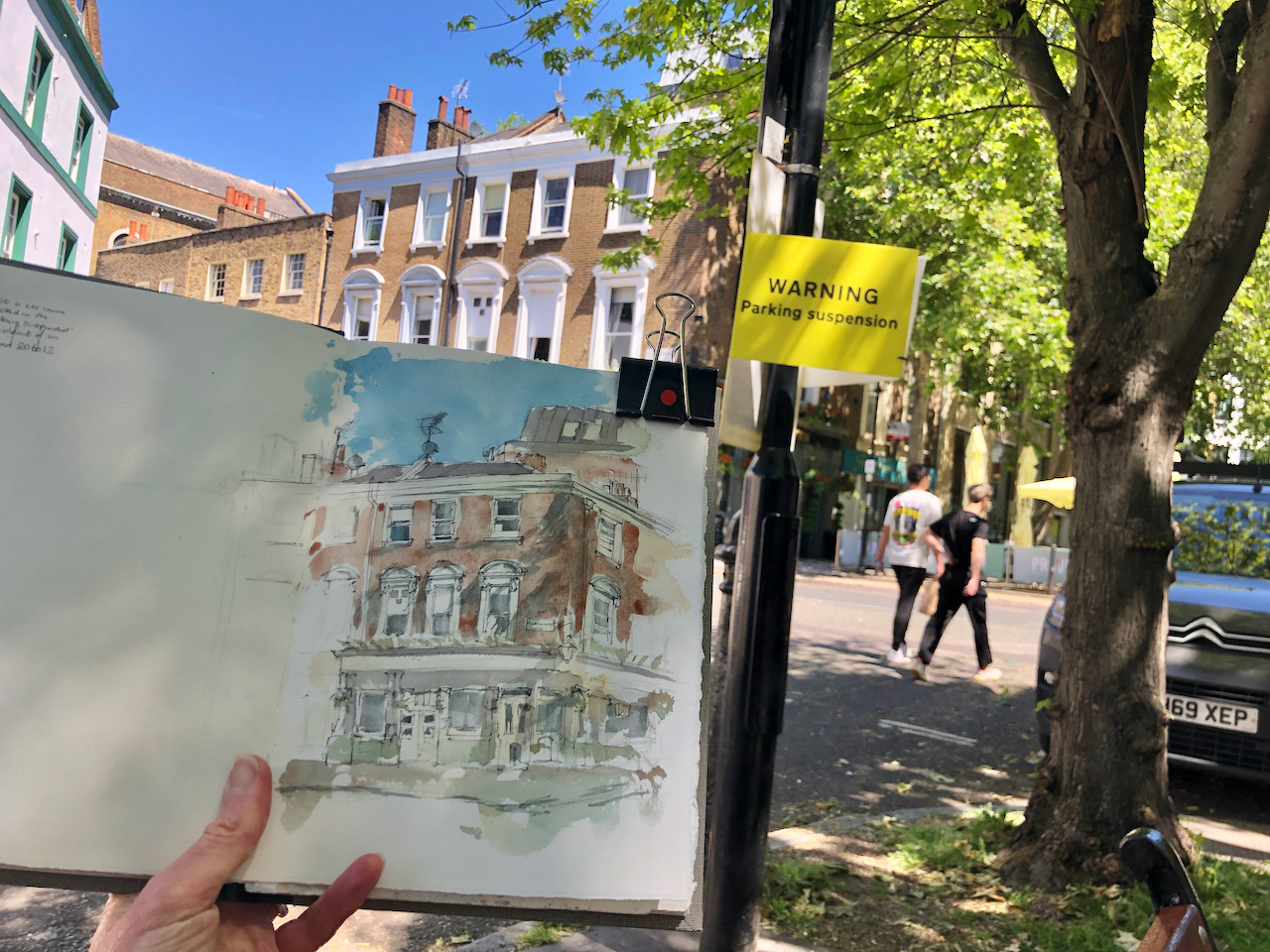
I moved my position several times while sketching this. First I stood by a hoarding, where I had an unobstructed view and something to lean against. After 15 minutes a big car came and parked on the “Parking Suspended” bay in front of me. It was a mini-cab. It sat there, its engine idling. Will someone please explain to me why drivers leave their engines running while stationery? It was a beautiful pristine summer day. And now I had diesel fumes. I considered various courses of action, including abandoning the picture, remonstrating with the driver, or starting my picture again from the other side of the road. I did none of those things, but moved a few paces so to get fresher air and a better view of the top of the building. 15 minutes later, the mini-cab circled round Clerkenwell Green, and came to rest in a new place. I think they were avoiding the traffic warden, who had appeared on a bicycle.
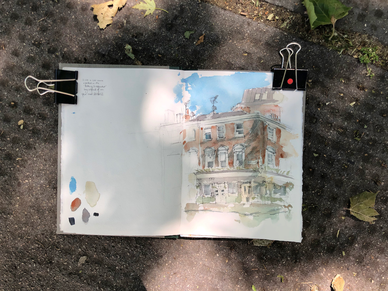
I continued my drawing standing up and then moved to a nearby bench which did not have such a good view, but where I could do my watercolours a lot more easily.
The pub itself was dark and silent until suddenly, at 12 noon exactly, the lights came on and a person emerged and placed the menu board outside.
“Taken fromSt Paul’s letter…”
Under the lamp a beautiful piece of signwriting reads, in gold:
” Taken from St Paul’s letter to the Hebrews Chapter 13 Verse 2″.
I could find no indication of what had been “taken from St Paul’s letter to the Hebrews”. So back in my office I looked it up. Verse 2 reads:
“Forget not to shew love unto strangers: for thereby some have entertained angels unawares”
This is my old school Bible “being the version set forth AD1611 compared with the most ancient authorities and revised”. Online, the New International Version gives “Do not forget to show hospitality to strangers, for by so doing some people have shown hospitality to angels without knowing it.”, which sorts out the double negatives a little better. But the thought that we might have ” … entertained angels unawares” is so succinct and entrancing that it stays in my mind as a beautiful image.
I finished off the drawing at my desk. The pub name is done in “pebeo drawing gum”. This is a synthetic rubber resist solution. I painted the letters with the drawing gum using a fine brush, on the white paper. It takes about 15 min to dry. Then I painted the dark background. Then that has to dry. Then I can rub off the drawing gum to reveal the white letters. It’s like magic.
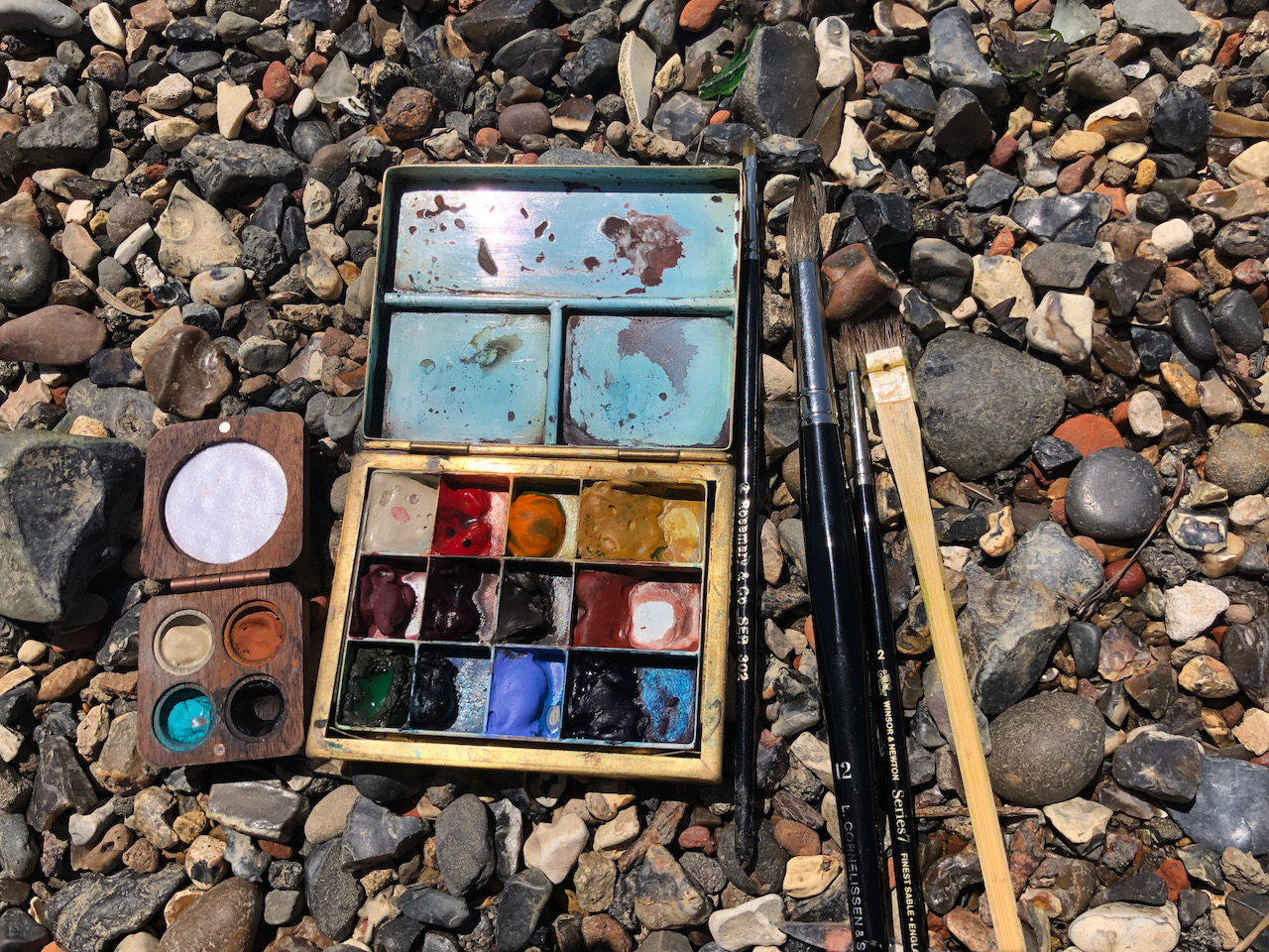
The colours are, for the main picture: Phthalo Blue Turquoise, Fired Gold Ochre, Perylene Maroon, Mars Yellow, Lunar Earth. Lunar Earth is a strange granulating colour, it dries to a mosaic-like finish, which you can see in the brickwork of the pub.
I added highlights in Green Gold, Permanent Yellow Deep, and Transparent Pyrrol Orange. The pub lettering has some Iridescent Gold.
Here’s a map:
Sketch map showing the sightline of the drawing.
If you have been reading the Robert Galbraith/JK Rowling novel “Troubled Blood” then you will recognise these street names. The novel is wonderfully accurate in its geography.
I have drawn some other pubs and restaurants in this area:
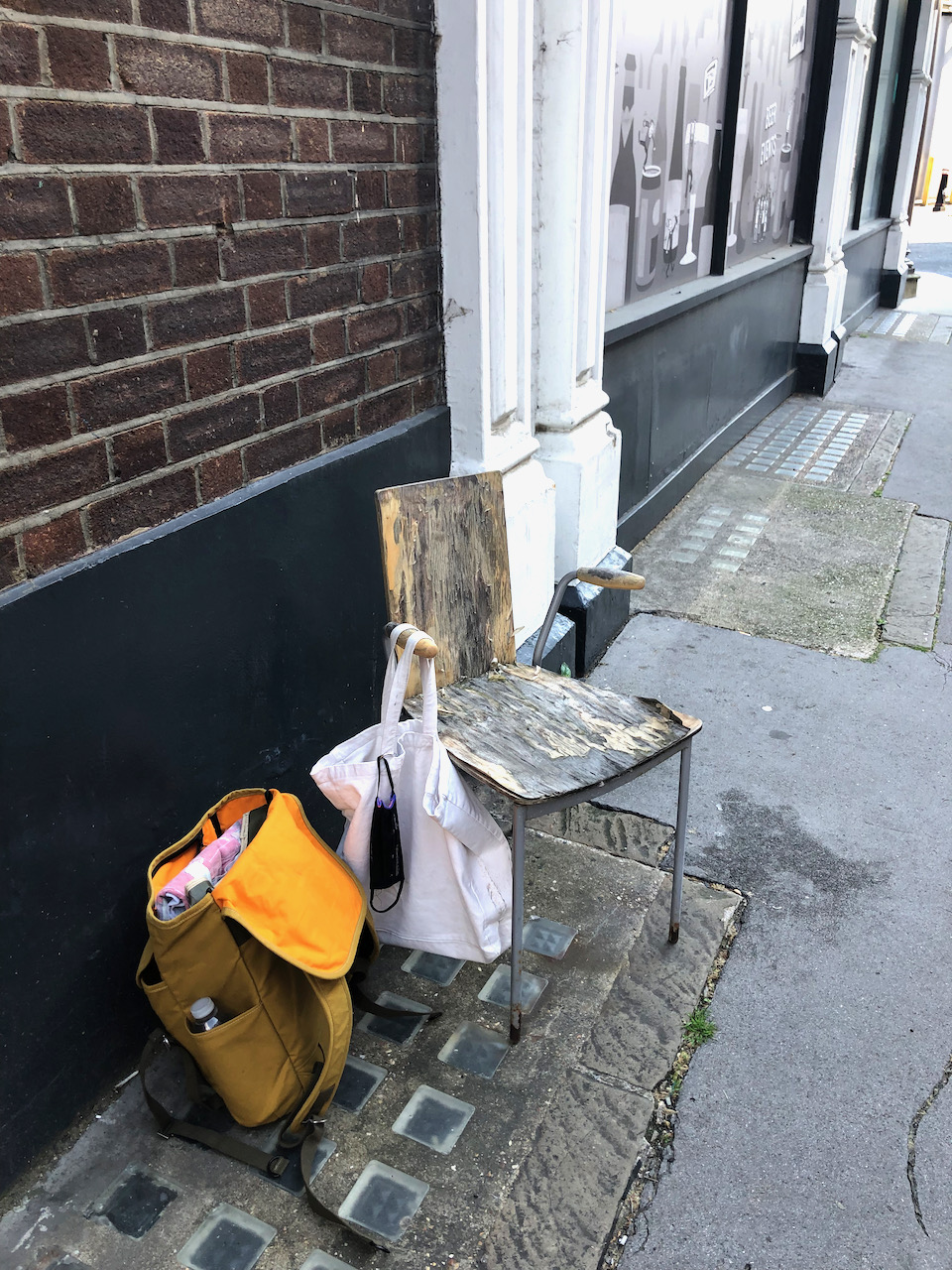
…its varnish was peeling but it was heavy and strong….
I set off on a warm afternoon intending to sketch a pub in Clerkenwell Green. On the way there, I walked along the north side of Smithfield. Down a side street I spotted a lone chair, placed as if waiting for me. It commanded an excellent view of the Fox and Anchor. I tried out the chair. Its varnish was peeling, but it was heavy and strong.
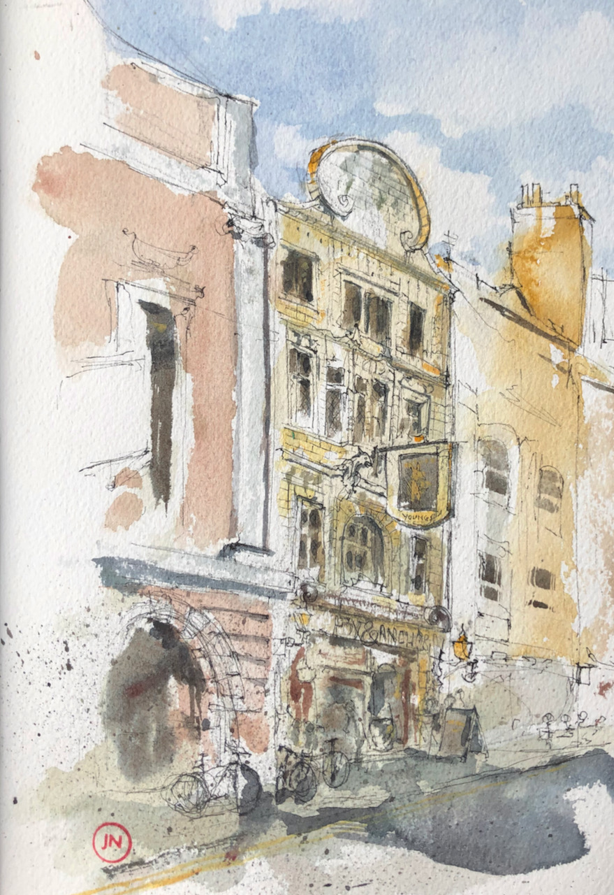
So I settled myself down and drew the Fox and Anchor. This is a very decorative pub. Pevsner* says it has a “joyful front of Doulton’s coloured tiles”. That’s Royal Doulton, the pottery company. I recommend the startling Royal Doulton building in Vauxhall, on the corner of Black Prince Road and Lambeth High Street. This is even more elaborate than the Fox and Anchor pub, since it was a living advertisement for the wares of the firm.
The Fox and Anchor dates from 1898. This date is on the tiles in that magnificent halo on the top, together with a picture of the Fox. The date is written in such flamboyant Art Nouveau script that it’s difficult to read. The whole of the front is tiled with ceramic tiles, in wonderful shapes, including tiles which go around the window frames. There is a dragon either side of the pub sign.
Fox and Anchor pub and hotel, EC1. Sketched 5th June 2021, 17:30 in Sketchbook 10. 8″ x 10″
This is a Young’s pub, open now. The Fox is shown on the pub sign, but not the Anchor. It has a special Smithfield licence, which means that it can offer beer for breakfast. This special licence is historically for serving the night shift meat workers at Smithfield. Someone of my acquaintance recounts stories of financial services workers in the City celebrating the end of projects with the Full English at the Fox, complete with pints of beer.
It is also a hotel. “Boutique” rooms are offered on its website. It must be a great place to stay!
I drew this picture between 4 and 5:30pm on a Saturday. The area was already becoming lively. A crowd spilled out of the “Be At One” cocktail bar.
Outside the Fox and Anchor people sat at tables quietly taking in the evening. And observing the person sketching, sat on a chair on the pavement opposite. As I noticed with my drawing earlier in the week, Londoners are losing their fear and are starting again with the social interactions. Several people came to say hello as I was working on the picture. Someone had seen me looking repeatedly up at the building and down at the picture. They had been discussing with their companion why I didn’t use a photograph. So they came and asked me, which was nice of them, and provoked an interesting discussion. Part of the answer is because “I like sitting here looking at the building,” and another part of the answer, which I struggled to express, is that I get a very different picture if I work from a photograph.
Another person came and asked technical questions. They use watercolours for life drawing, and wanted to know the name of the brown colour I use, which is Fired Gold Ochre. They also admired my paintbox.
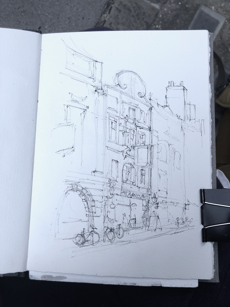
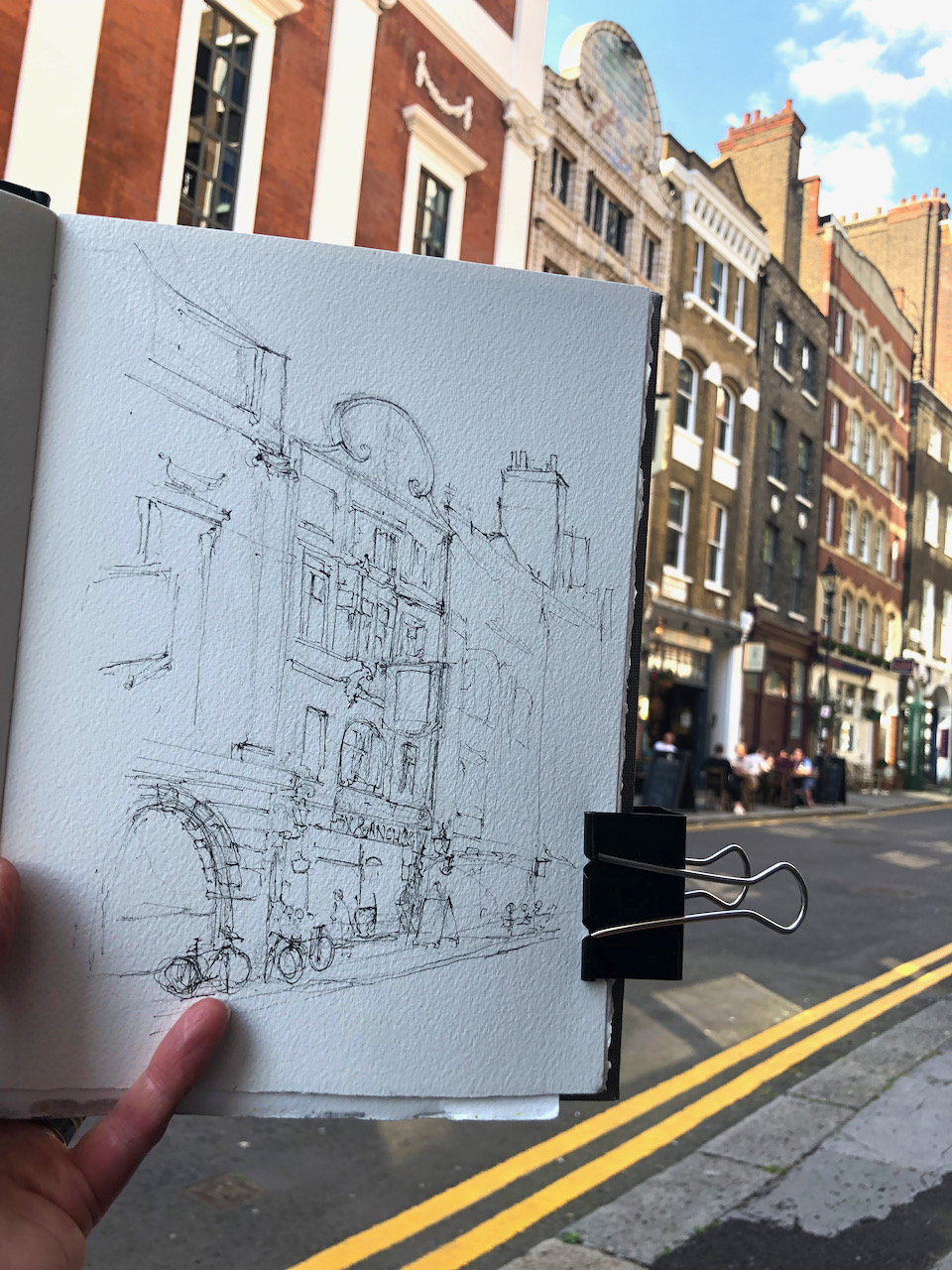
Here are pictures of work in progress and my drawing location:
Here is a map showing the line of sight of the drawing. The nearby street is called “Fox and Knot Street” which is intriguing.
The picture took an hour and a half, all on location. The colours are: Fired Gold Ochre, Phthalo Blue Turquoise, Buff Titanium, Mars Yellow, Permanent Yellow Deep. and some Perylene Maroon to make the grey colours. The yellow lines on the road are Naples Yellow.